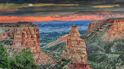
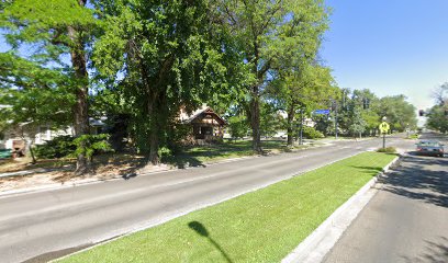
Grand Mesa Scenic Byway Sign
Experience the breathtaking beauty of Colorado's Grand Mesa Scenic Byway, a journey through diverse landscapes and stunning vistas on the world's largest flat-topped mountain.
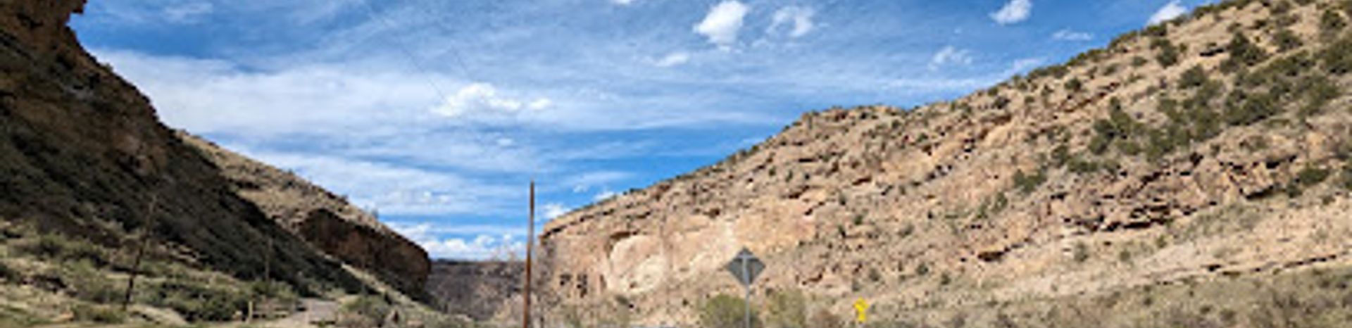
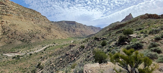
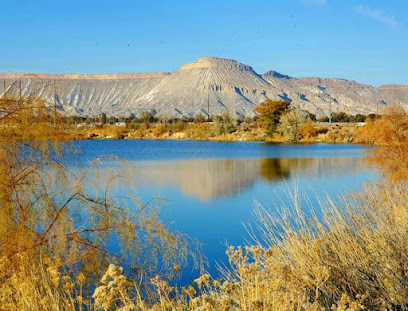
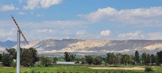
The Grand Mesa Scenic Byway is a 63-mile route through western Colorado that showcases the diverse landscapes of the Grand Mesa, the world's largest flat-topped mountain. The byway offers breathtaking views, access to hundreds of lakes, and a variety of recreational activities.
A brief summary to Grand Mesa Scenic Byway sign
- 5PJC+28, Palisade, Colorado, US
Local tips
- Visit during the summer or fall for the best weather and to see wildflowers or fall colors.
- Check road conditions before you go, especially during winter, as some sections may be closed.
- Bring layers of clothing, as the weather can change quickly at high elevations.
- Fill up your gas tank in Cedaredge or Mesa, as there are limited services along the byway.
- Take a detour to Land's End Observatory for incredible views of the Grand Valley.
Getting There
-
Driving
The Grand Mesa Scenic Byway is primarily accessed by car. From Grand Junction, take I-70 east to CO Highway 65 (Exit 49) for the northern entrance, or travel south to Cedaredge via CO-65 for the southern entry point. The Byway is free to travel. Be aware that the Land's End Road portion is typically closed in winter.
-
Public Transport
While public transportation directly to the byway is limited, Grand Valley Regional Transportation Authority (GVRTA) provides bus services to nearby towns like Palisade and Cedaredge. From there, local taxi or rideshare services could potentially be used to access the byway, though availability may be limited and advance planning is essential. Costs for taxi/rideshare from Palisade or Cedaredge to the byway entrance could range from $20-$40.
Discover more about Grand Mesa Scenic Byway sign
Iconic landmarks you can’t miss
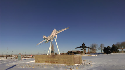
Grand Junction Regional Airport
22.5 km
Discover the beauty of Colorado through Grand Junction Regional Airport, your gateway to adventure, culture, and scenic landscapes.
Visit Grand Junction
23.8 km
Experience the best of Grand Junction, Colorado, with insider tips and resources at the Visit Grand Junction Tourist Information Center.
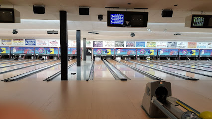
Freeway Bowl
25.9 km
Experience the ultimate fun at Freeway Bowl in Grand Junction, where bowling, karaoke, and delicious food come together for an unforgettable outing.
Grand Junction Historic Prsrvn
26.3 km
Explore the charm of Grand Junction's historic preservation, where every building tells a story of Colorado's rich past and vibrant culture.
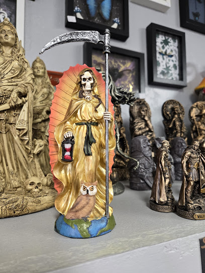
Pagan Moon
26.6 km
Explore Pagan Moon in Grand Junction, Colorado for a unique selection of crystals, spiritual tools, and gifts to enhance your metaphysical journey.
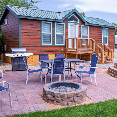
Camp Eddy
26.7 km
Discover the beauty and tranquility of Camp Eddy, an enchanting RV park in Grand Junction, Colorado, perfect for outdoor enthusiasts and families alike.

Grand Junction KOA Holiday
27.0 km
Discover the natural beauty of Colorado at Grand Junction KOA Holiday, your perfect getaway for camping, cabins, and RV adventures.
North Seventh Street Historic Residential District
27.1 km
Discover the historic charm of North Seventh Street Historic Residential District, where architectural beauty meets the rich history of Grand Junction, Colorado.
Elysium Studios
27.1 km
Discover Elysium Studios in Grand Junction, Colorado – where artistry meets professionalism in tattoo creation and removal services.
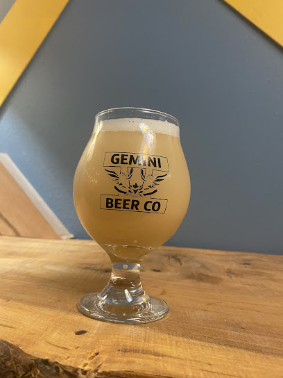
Gemini Beer Company
27.2 km
Experience the best of local craft brewing at Gemini Beer Company in Grand Junction, where unique flavors and a dog-friendly atmosphere await.
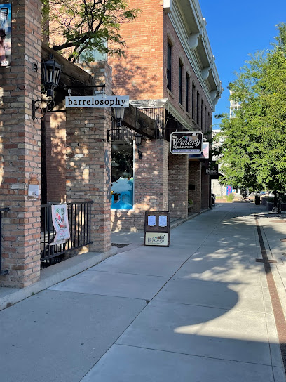
The Winery Restaurant
27.4 km
Experience the finest steaks and American cuisine at The Winery Restaurant in Grand Junction, where exceptional dining meets a warm and inviting ambiance.
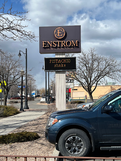
Enstrom Candies Downtown Grand Junction
27.4 km
Experience the sweet taste of tradition at Enstrom Candies, your go-to chocolate shop in Grand Junction, offering delicious treats and delightful flavors.
A Robin's Nest of Antiques & Treasures
27.5 km
Discover unique antiques and treasures at A Robin's Nest of Antiques & Treasures in Grand Junction, Colorado, a must-visit for collectors and curious travelers.
Grand Junction City Historic
27.5 km
Explore the rich history and charming architecture of Grand Junction City Historic, a cultural gem in the heart of Colorado.
Mesa Theater
27.5 km
Discover the vibrant live music scene at Mesa Theater in Grand Junction, where unforgettable performances and a lively bar atmosphere await.
Unmissable attractions to see
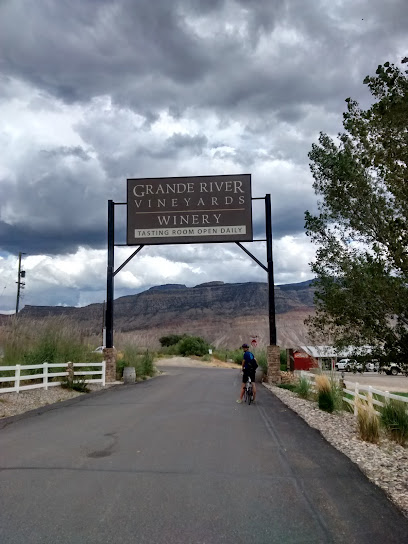
Grande River Vineyards
10.0 km
Experience award-winning Colorado wines at Grande River Vineyards in Palisade, with tours, tastings, and summer concerts.
Little Book Cliffs Wild Horse Range
10.8 km
Witness the majesty of wild mustangs roaming free in their natural habitat at the Little Book Cliffs Wild Horse Range near Grand Junction, Colorado.
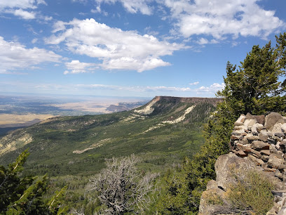
Lands End Observatory
17.9 km
Experience breathtaking panoramic views from the historic Lands End Observatory, perched atop the Grand Mesa in western Colorado.
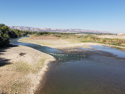
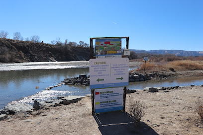
Clifton Nature Park
19.9 km
Escape to nature along the Colorado River at Clifton Nature Park, offering trails, wildlife viewing, and scenic beauty in Western Colorado.
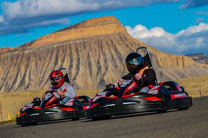
Grand Junction Motor Speedway
19.9 km
Experience the thrill of kart racing at Grand Junction Motor Speedway, the premier motorsports destination in western Colorado.
Cross Orchards Historic Site, Museums of Western Colorado
20.2 km
Experience early 20th-century rural life at Cross Orchards Historic Site in Grand Junction, Colorado. Living history, vintage equipment, and Uintah Railway cars.
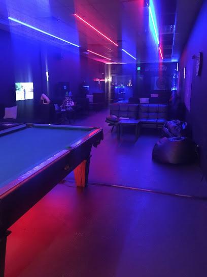
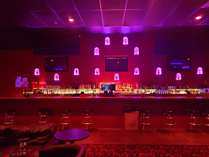
Lux Ultra Lounge
22.1 km
Experience Grand Junction's electrifying nightlife at Lux Ultra Lounge, where music, dancing, and vibrant energy await every visitor.
Whitewater Hill Vineyards
22.2 km
Experience award-winning Colorado wines at Whitewater Hill Vineyards, with stunning views and a relaxed atmosphere. Open daily for tastings!
Western Slope Hookah Lounge
24.1 km
Experience a relaxing night out at Western Slope Hookah Lounge in Grand Junction, offering diverse hookah flavors and a vibrant social atmosphere.
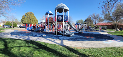
Rocket Park
24.5 km
Explore a unique playground featuring a towering rocket sculpture, blending recreation and Cold War history in Grand Junction.
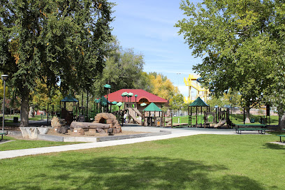
Lincoln Park
25.8 km
Grand Junction's vibrant Lincoln Park: recreation, nature, sports, and community events in a historic green space.
The Art Center
26.6 km
Explore diverse art exhibitions, classes, and community programs at The Art Center in Grand Junction, Colorado. A vibrant hub for creativity and artistic expression.
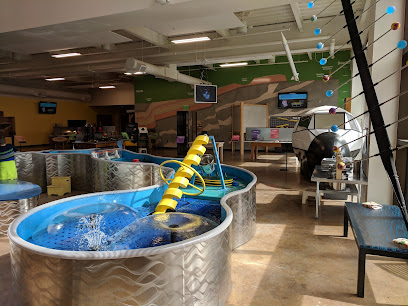
Eureka! McConnell Science Museum
26.7 km
Explore over 100 interactive science exhibits at Grand Junction's Eureka! McConnell Science Museum. Fun for all ages!
Eagle Rim Park
27.0 km
Discover scenic trails, playgrounds, and a skate park at Eagle Rim Park in Grand Junction, offering outdoor fun for all ages with beautiful river views.
River Park at Las Colonias
27.1 km
Enjoy waterfront fun and natural beauty at Grand Junction's River Park, a revitalized space for recreation and relaxation on the Colorado River.
Essential places to dine
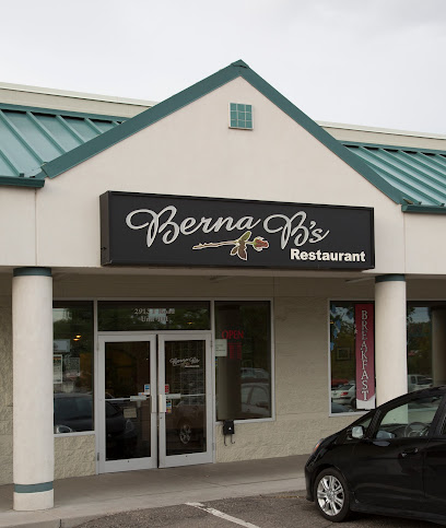
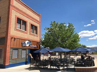
Berna B's Classic Cuisine
22.5 km
Experience the best of American breakfast at Berna B's Classic Cuisine in Grand Junction – where delicious meets affordable.
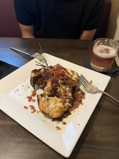
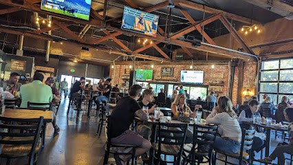
Blade and Bone
23.3 km
Experience exceptional flavors at Blade and Bone in Grand Junction - where culinary creativity meets local ingredients.
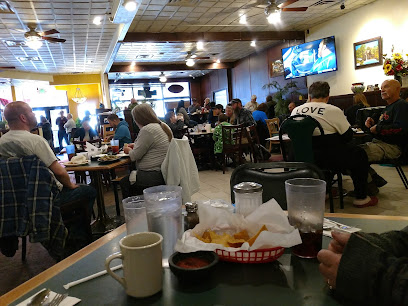
Citrola's Italian Restaurant
23.3 km
Experience authentic Italian flavors at Citrola's Italian Restaurant in Grand Junction – where every meal feels like a celebration.
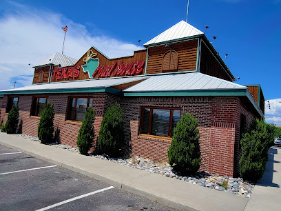
Texas Roadhouse
23.7 km
Experience mouthwatering steaks and vibrant ambiance at Texas Roadhouse in Grand Junction - a top choice for meat lovers.
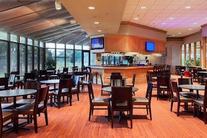
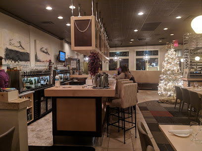
Bistro 743
23.9 km
Experience the best of American cuisine at Bistro 743 in Grand Junction – where flavor meets hospitality in a cozy setting.
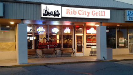
Rib City - Grand Junction
24.1 km
Experience authentic American barbecue at Rib City in Grand Junction - where every meal is a celebration of smoky flavors and hearty portions.
Enzo's Ristorante Italiano
24.3 km
Experience authentic Italian dining at Enzo's Ristorante Italiano in Grand Junction - where every meal is a celebration of flavor and tradition.

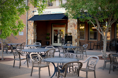
Spoons bistro & bakery
25.2 km
Discover Spoons Bistro & Bakery: A delightful culinary experience featuring fresh comfort food and artisan baked goods in Grand Junction.
Devil's Kitchen
26.5 km
Experience unique flavors and exceptional service at Devil's Kitchen in Grand Junction - your destination for unforgettable dining.
Mary's Restaurant
27.1 km
Discover Mary’s Restaurant in Grand Junction: A delightful blend of American breakfasts and Mexican flavors awaits you!
Blue Moon Bar & Grille
27.3 km
Discover the welcoming atmosphere of Blue Moon Bar & Grille in Grand Junction – where delicious grilled dishes meet refreshing drinks.
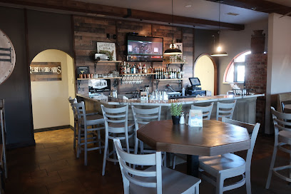
Pour Fellows
27.3 km
Experience delightful regional cuisine at Pour Fellows in Grand Junction - where every dish tells a story.
Las Marias
27.4 km
Discover the authentic taste of Mexico at Las Marias in Grand Junction - where every dish tells a story.
626 On Rood
27.4 km
Experience exquisite New American cuisine and an extensive wine selection at 626 On Rood in Grand Junction.
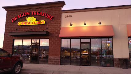
Dragon Treasure Orchard Mesa
27.5 km
Experience authentic Chinese cuisine at Dragon Treasure Orchard Mesa in Grand Junction - where flavor meets tradition!
Markets, malls and hidden boutiques
Nick's Emporium
21.8 km
Explore Nick's Emporium in Fruitvale, CO for unique gifts and quirky souvenirs that capture the spirit of Colorado.

The Shop
24.3 km
Explore The Shop in Grand Junction, Colorado for unique gifts and local treasures that embody the spirit of the Rockies.
Emporium
25.3 km
Explore Emporium in Grand Junction, CO, where unique gifts, stunning jewelry, and body art converge in a vibrant shopping experience.
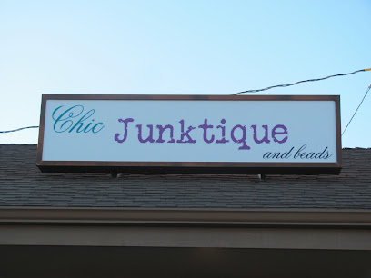
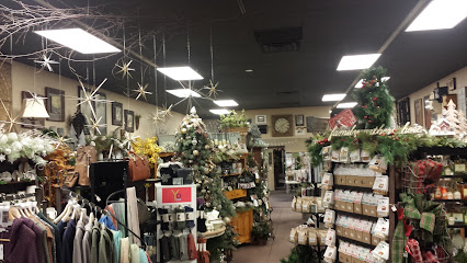
Chic Junktique & Beads
26.2 km
Explore Chic Junktique & Beads in Grand Junction, a vintage paradise filled with unique antiques and exquisite beads, perfect for collectors and crafters alike.
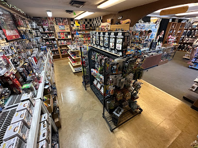
R & S Toys and Novelties
27.2 km
Explore R & S Toys and Novelties, a whimsical toy store in Grand Junction, CO, offering a delightful selection for collectors and families.
Encore Shoppe & Gallery
27.4 km
Explore the charm of Encore Shoppe & Gallery in Grand Junction, Colorado, where unique consignment treasures await every visitor.
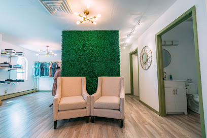
Vine and Branches Boutique
27.4 km
Explore Grand Junction's stylish Vine and Branches Boutique for unique clothing and accessories that capture local flair and craftsmanship.
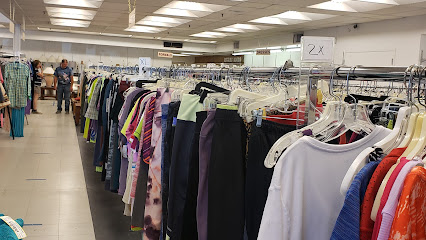
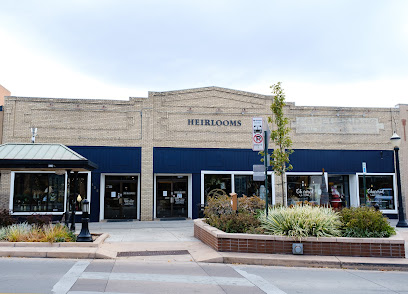
Heirlooms For Hospice
27.4 km
Explore Heirlooms For Hospice in Grand Junction for unique thrift store finds that support local hospice care and enrich your travel experience.
Seasons to Follow
27.4 km
Explore a seasonal wonderland at Seasons to Follow, where unique crafts and home goods await in Grand Junction, Colorado.
Small Mall on Main
27.5 km
Explore Small Mall on Main in Grand Junction for unique gifts, local crafts, and a welcoming shopping atmosphere that highlights Colorado's vibrant culture.
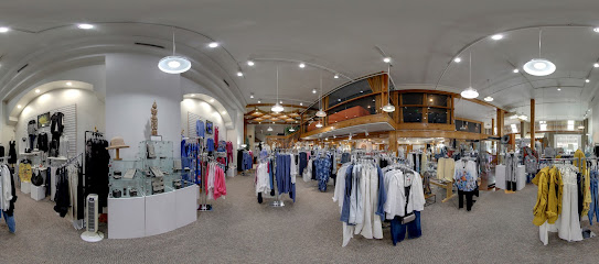
Main Paige
27.5 km
Explore the stylish and curated collections at Main Paige, Grand Junction's premier women's clothing boutique.
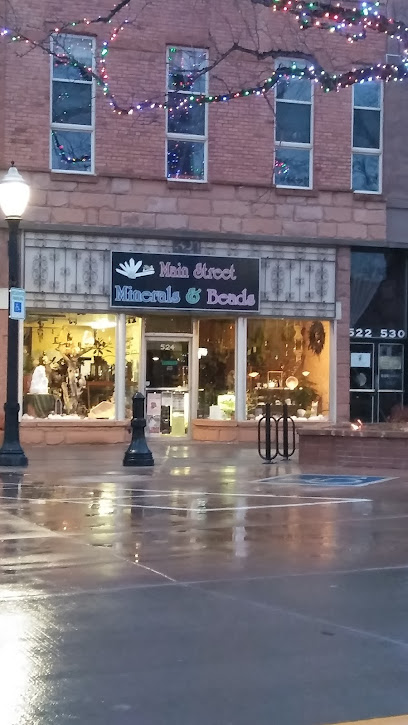
Main Street Minerals & Beads
27.5 km
Explore a world of stunning minerals, unique beads, and handcrafted jewelry at Main Street Minerals & Beads in Grand Junction, Colorado.
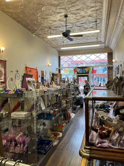
Crescent Moon Spiritual Goods
27.6 km
Discover a unique selection of metaphysical supplies at Crescent Moon Spiritual Goods in Grand Junction, the perfect haven for spiritual seekers.
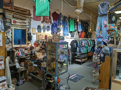
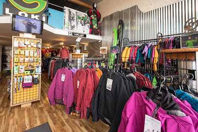
Loki Outdoor Shop
27.6 km
Discover unique outdoor apparel at Loki Outdoor Shop, where innovation meets style in the heart of Grand Junction, Colorado.
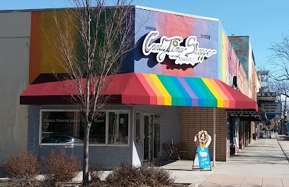
Candytime Shoppe
27.6 km
Explore the sweetest destination in Grand Junction, Candytime Shoppe, where a delightful array of chocolates and candies await every visitor.
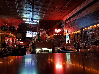
Essential bars & hidden hideouts
Scallywags Bar and Grill LLC
24.0 km
Experience the vibrant flavors of American cuisine at Scallywags Bar and Grill, a lively pub in Grand Junction, CO, perfect for food and drink lovers.
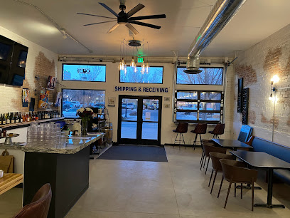
The Brass Rail Tavern
24.9 km
Discover the warm ambiance and delicious grill fare at The Brass Rail Tavern in Grand Junction, Colorado - a must-visit for every traveler.
Wrigley Field
25.5 km
Discover Wrigley Field in Grand Junction, where great food, live music, and a warm atmosphere create unforgettable moments.
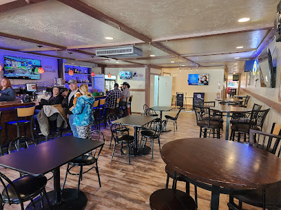
Ale House
25.6 km
Experience the best of Grand Junction at Ale House, a lively grill and sports bar offering delicious food and a vibrant atmosphere perfect for all occasions.
The Point
26.1 km
Discover the vibrant flavors of The Point in Grand Junction, where grilled specialties and a lively atmosphere create an unforgettable dining experience.
Quincy Bar
27.5 km
Discover the vibrant nightlife at Quincy Bar in Grand Junction, where affordable drinks and a friendly atmosphere await every visitor.
Cruise Control Kitchen and Cellar
27.6 km
Discover the best of local and international wines in a cozy atmosphere at Cruise Control Kitchen and Cellar in Grand Junction, Colorado.
SoCo Social House
28.0 km
Experience the heart of Grand Junction's nightlife at SoCo Social House, where creative cocktails and a welcoming vibe await every visitor.

Cruisers Bar
28.1 km
Discover Cruisers Bar in Grand Junction, Colorado - where delicious food meets an exciting sports atmosphere for an unforgettable experience.

Orchard Mesa Cruisers
28.1 km
Discover the vibrant nightlife of Grand Junction at Orchard Mesa Cruisers, where great drinks and a friendly atmosphere await.

fuel. coffee stand
51.6 km
Discover Delta's best brews at Fuel Coffee Stand, where every cup is crafted with care and passion for coffee.
Pour Ernies
52.0 km
Experience the excitement of sports and great food at Pour Ernies, Delta's favorite sports bar filled with camaraderie and delicious offerings.
Delta Elks Lodge #1235
52.2 km
Discover the Delta Elks Lodge #1235: A Community Bar Offering Drinks, Fun Activities, and Fraternal Fellowship in the Heart of Colorado.
The Grove
54.5 km
Explore The Grove in Delta, Colorado: a vibrant event venue, garden center, and gift shop offering natural beauty and unique treasures.
Rose Bowl
85.1 km
Experience the excitement of bowling, savor delicious bites, and dive into arcade thrills at the Rose Bowl in Montrose, Colorado.
Nightclubs & after hour spots
Playa’s Club
24.0 km
Discover the pulsating heart of Grand Junction's nightlife at Playa’s Club, where music and dance create unforgettable memories.
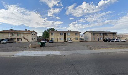
Grand Avenue House of Booze and Adventure
25.3 km
Discover a vibrant nightlife at Grand Avenue House of Booze and Adventure, where unique cocktails and thrilling events await you in Grand Junction.
Fantasy Grand Junction
31.7 km
Discover the vibrant nightlife of Fantasy Grand Junction, where exhilarating adult entertainment meets an electrifying atmosphere for unforgettable evenings.
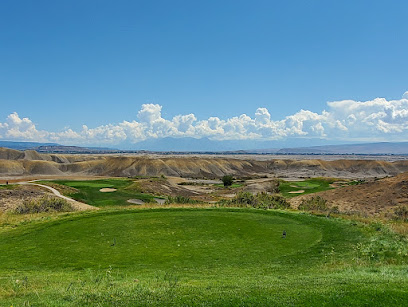
Devil's Thumb Golf Course
46.7 km
Experience the perfect blend of challenging golf and stunning Colorado scenery at Devil's Thumb Golf Course.
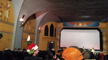
Delta Egyptian Theatre
52.1 km
Discover the charm of Delta Egyptian Theatre, a historic movie theater in Colorado offering diverse films in a captivating atmosphere.
Turn of the Century Saloon
85.0 km
Discover the Turn of the Century Saloon, a historic venue in Montrose, Colorado, combining rich tradition with lively entertainment and local culture.

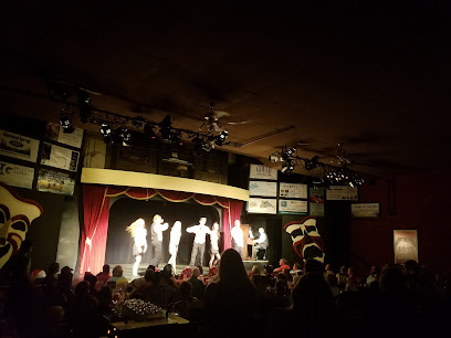
Glenwood Vaudeville Revue
91.5 km
Enjoy a delightful evening of laughter and entertainment at the Glenwood Vaudeville Revue, where dinner meets classic vaudeville charm in scenic Colorado.