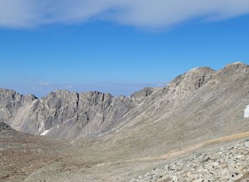
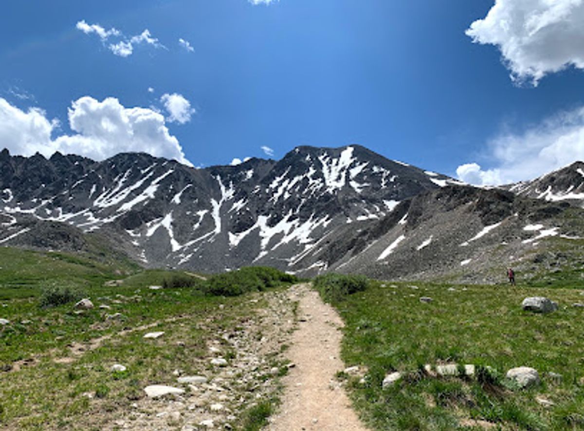
Drift Peak
Drift Peak: A Summit Above Breckenridge
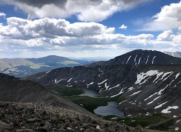
Explore Colorado's mining history amidst stunning alpine scenery on the Mayflower Gulch Trail near Frisco.
Hike through stunning alpine meadows and explore remnants of Colorado's mining past on the Mayflower Gulch Trail. This 5.2-mile loop offers moderate difficulty and breathtaking views of the Rocky Mountains, making it perfect for hikers and families alike.
Opening times, essentials, and a few local tips gathered into one calmer, easier-to-scan planning section.
Driving
From Frisco, CO, head south on CO-91 for approximately 13 miles. The Mayflower Gulch Trailhead parking lot will be on your right, just after mile marker 16. The parking is free. Be aware that the lot can fill quickly, especially on weekends, so arrive early. There are no unavoidable tolls.
Public Transport
While there is public transportation in Summit County via the Summit Stage, it does not directly service the Mayflower Gulch Trailhead. The closest stop would be in Frisco, requiring a taxi or ride-share for the remaining 13 miles to the trailhead. A taxi or ride-share from Frisco to Mayflower Gulch would cost approximately $30-$40.
Use Tower Bridge as your starting point for nearby food, family ideas, nightlife, and more local discoveries.

Explore expert travel guides, compare and book tours, experiences, hotels, and more—all from the palm of your hand. Download now for seamless trip planning wherever your wanderlust takes you.
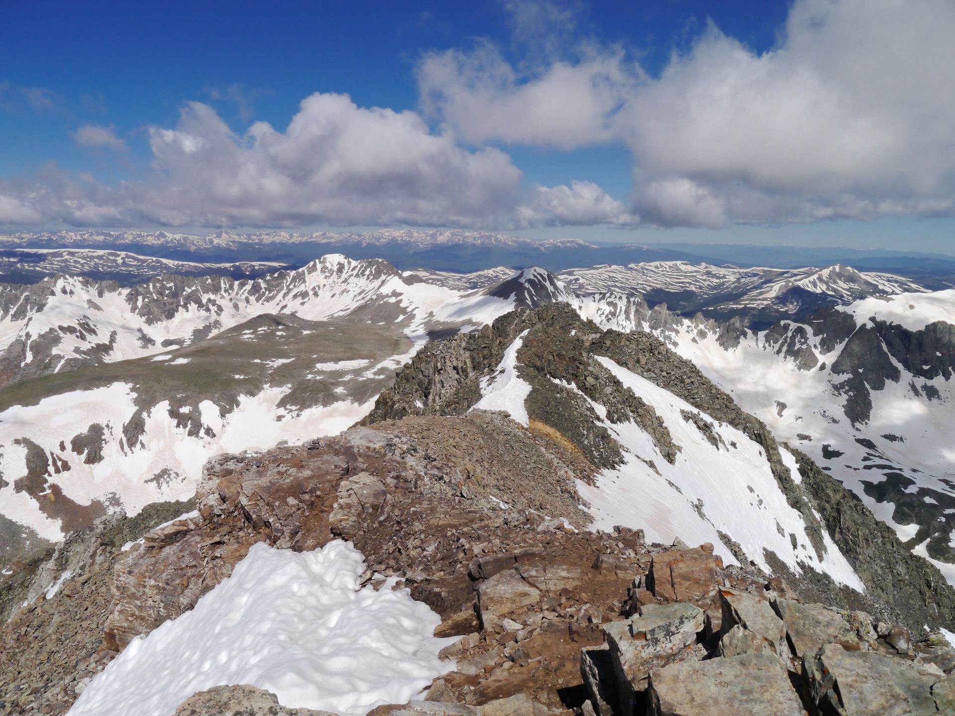
Discover the Tenmile Range in Colorado: a stunning mountain escape offering year-round outdoor adventures, historical charm, and breathtaking natural beauty.
Tell me more about Tenmile Range