From Eve
Know before you go
Hi, I'm Eve. Here are a few practical things to know before exploring Mt Tammany Red Dot Trail.
Local know-how to help you travel smarter and make the most of every moment.
Hike the challenging Red Dot Trail to the summit of Mt. Tammany for breathtaking views of the Delaware Water Gap in New Jersey.
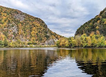
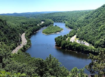
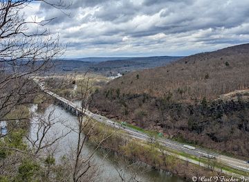
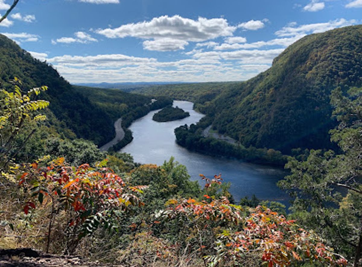
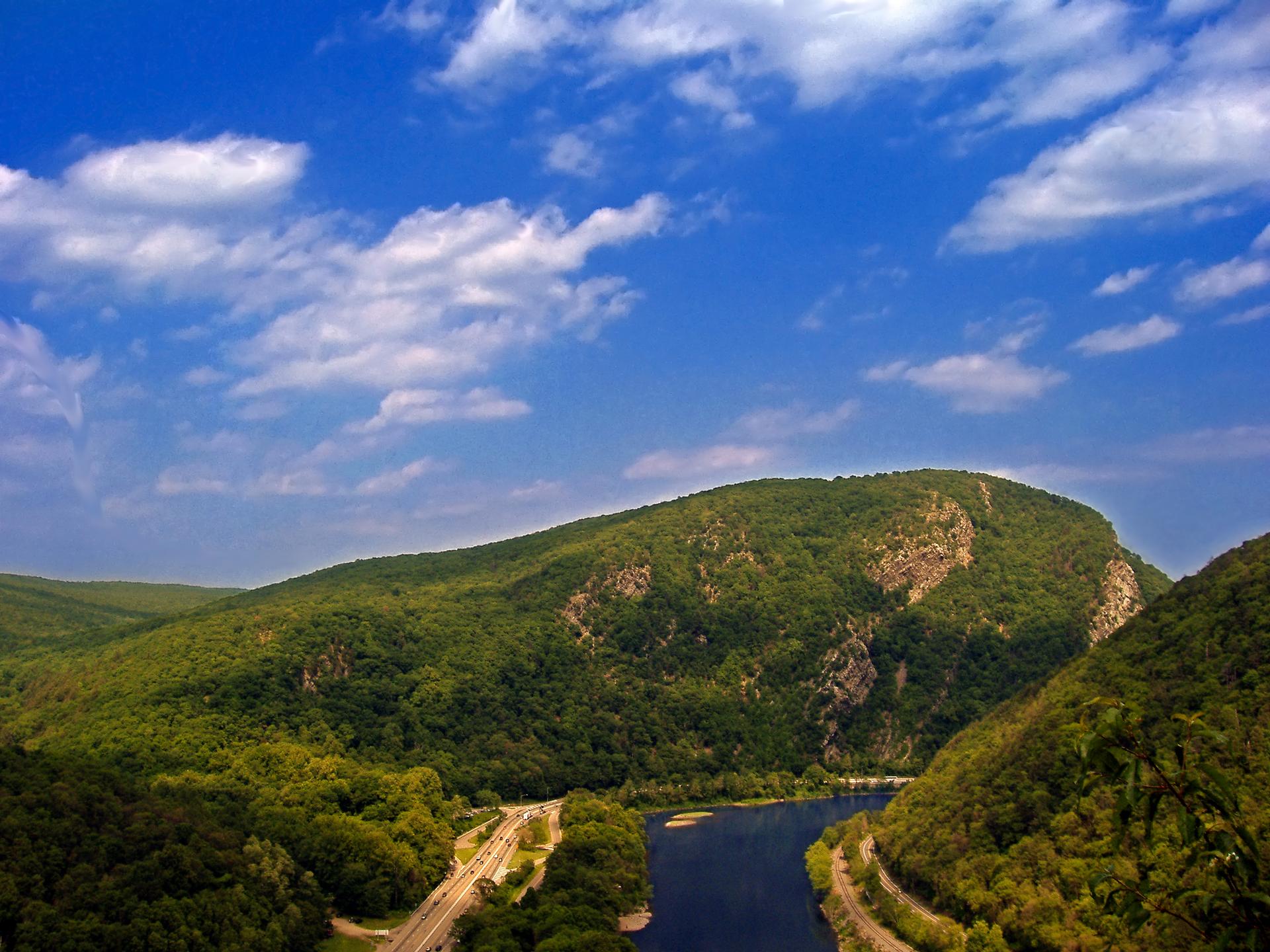
The Mt. Tammany Red Dot Trail is a popular, challenging hike in Worthington State Forest, New Jersey, known for its steep, rocky ascent and panoramic views of the Delaware Water Gap. The 1.2-mile trail climbs over 1,200 feet to the summit of Mt. Tammany, offering stunning vistas of the Delaware River and Mount Minsi.
Opening times, essentials, and a few local tips gathered into one calmer, easier-to-scan planning section.
Hi, I'm Eve. Here are a few practical things to know before exploring Mt Tammany Red Dot Trail.
Local know-how to help you travel smarter and make the most of every moment.
Driving
The Mt. Tammany Red Dot Trail is accessed from Interstate 80 in New Jersey. From I-80 West, take Exit 1 just before the last exit in New Jersey. Follow the signs for Dunnfield Creek Natural Area. There are two parking lots; the first is smaller, and the second is larger. Parking is free, but the lots fill up quickly, especially on weekends, so arrive early. If both lots are full, try parking at the Kittatinny Point visitor center and walking back to the trailhead (about 10 minutes). Note: The exit road is one way, so you cannot backtrack to a passed lot without getting back on I-80.
Public Transport
The Monroe County Transit Authority (MCTA), also known as the Pocono Pony, provides seasonal (late May to late August) free shuttle service to the Delaware Water Gap National Recreation Area. The River Runner shuttle stops at the Kittatinny Point Visitor Center in New Jersey, a 10-minute walk from the Mt. Tammany Red Dot Trail trailhead. The shuttle runs on Saturdays and Sundays and can transport bikes, canoes, and kayaks. Check the MCTA website for schedules.
Use Tower Bridge as your starting point for nearby food, family ideas, nightlife, and more local discoveries.

Explore expert travel guides, compare and book tours, experiences, hotels, and more—all from the palm of your hand. Download now for seamless trip planning wherever your wanderlust takes you.
Discover the natural beauty and rich history of the Delaware Water Gap, a picturesque destination offering outdoor adventures, scenic hikes, and cultural experiences.
Tell me more about The Delaware Water Gap