Nantahala River, Rabun Bald Travel Guide
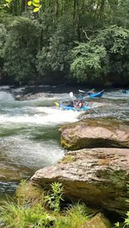
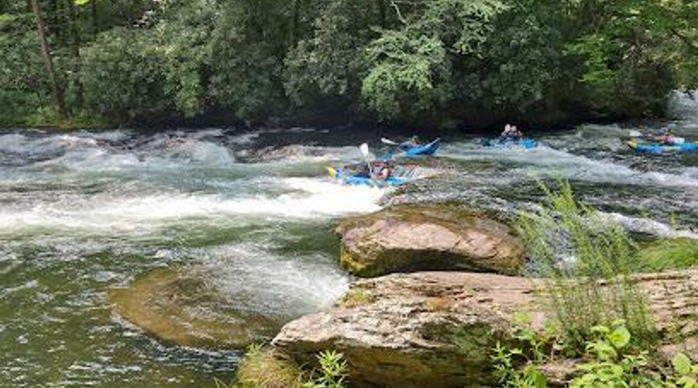
Experience thrilling whitewater rafting and serene natural beauty in the heart of the Nantahala National Forest, North Carolina.
The Nantahala River, nestled in the Nantahala National Forest of western North Carolina, is a premier destination for outdoor enthusiasts. Known as the 'Land of the Noonday Sun' due to its deep gorge, the river offers a mix of thrilling whitewater rafting and serene natural beauty, attracting visitors of all ages and skill levels.
A brief summary to Nantahala River
- North Carolina, US

Know before you go
Hi, I'm Eve. Here are a few practical things to know before exploring Nantahala River.
- Visit during the spring or summer for cooler temperatures and optimal lighting for rafting and hiking.
- Bring water shoes and a change of clothes for post-rafting comfort.
- Pack sunscreen, insect repellent, and any necessary allergy medications.
- Consider a guided rafting trip if you are new to whitewater rafting.
- Check the recreational release schedule if you are interested in experiencing the Upper Nantahala's Class III+, IV, and V rapids.
Do you manage this location?
Take control to get all the benefits, like improved information, better appearance, and stronger visibility across AI-powered discovery. Learn more about listing your business on Evendo
Activate your presenceOther nearby places you may find interesting
The closest places of the same kind, if this one is not quite what you had in mind.


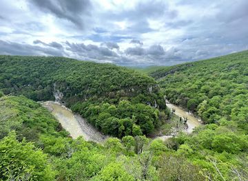
Explore Nantahala River on the Map
A handpicked selection of must-see spots near Nantahala River, mapped for you.
Unlock the Best of Nantahala River
Buy tickets
-
No tickets available
Book tours with entry
-
No tours available
Book tours without entry

Getting There
-
Driving
The Nantahala River is accessible via US-19/74 near Bryson City, about 1.5 hours from Asheville, NC. From Bryson City, take Highway 74 West approximately 11 miles to the Nantahala Food Mart/Gas Station at Wesser. Continue another 10.2 miles on Highway 74 West to reach the Carolina Outfitters outpost for rafting. Parking is available at key entry points, including the Nantahala Outdoor Center; fees are minimal (around $3). Be aware that US 74 W turns into a 2-lane highway.
-
Rafting Shuttle
Many rafting outfitters, such as the Nantahala Outdoor Center and Carolina Outfitters, provide shuttle services from their outpost to the river put-in and back. These shuttles are typically included in the cost of your rafting trip. Check with your chosen outfitter for specific details on shuttle schedules and pickup locations.
Discover more about Nantahala River













Your all‑in‑one travel companion app
Explore expert travel guides, compare and book tours, experiences, hotels, and more—all from the palm of your hand. Download now for seamless trip planning wherever your wanderlust takes you.


Explore More of Rabun Bald
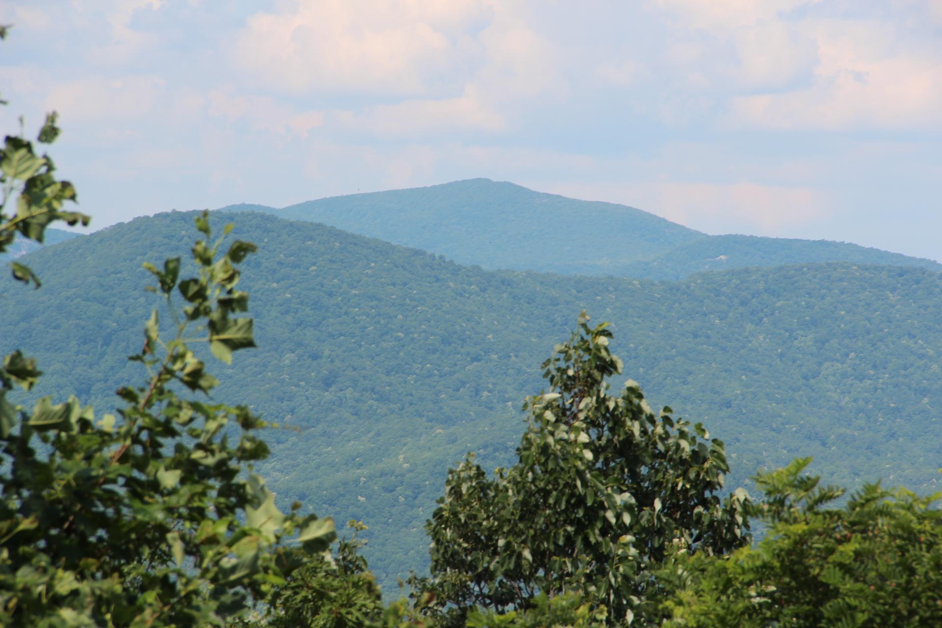
Looking beyond Nantahala River? Discover Rabun Bald for broader travel guides, local hot-spots, and regional highlights.
Explore Rabun Bald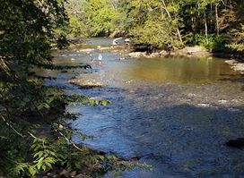
Explore the thrilling adventures of rafting and kayaking at Endless River Adventures in Bryson City, North Carolina, your gateway to outdoor excitement.
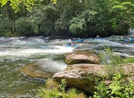
Discover the thrill of white-water rafting and the serene beauty of nature at Nantahala River in North Carolina.