

Rabun Bald Travel Guide - Free Web & App
Your ultimate guide to Rabun Bald. Discover top landmarks, proposed trips, and local tips. Free on the web or via the Evendo companion app.


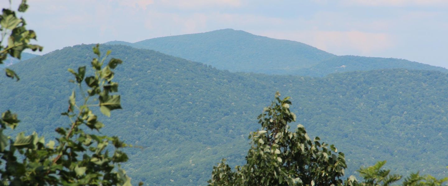


Rabun Bald, Georgia’s second-highest peak, offers Appalachian views, forest trails, a summit tower and access from Clayton, Dillard and Sky Valley.
Mountain Landscape
Rabun Bald rises to 4,696 feet in the Blue Ridge Mountains of north-east Georgia, making it the state’s second-highest summit after Brasstown Bald. The mountain lies within the Chattahoochee National Forest, in a broad upland landscape of hardwood forest, steep ridges and narrow valleys close to the North Carolina border. Its summit is characteristically open compared with the surrounding woodland, and a wooden observation tower provides wider views across the southern Appalachian ranges when weather and foliage allow.Read more about Rabun Bald
Trails and Access
Gateway Communities
When is the best time to visit Rabun Bald?
Best: May, September–October · 22–27°C| Month | High (°C) | Rainfall (mm) |
|---|---|---|
| January | 13 | 130 |
| February | 14 | 146 |
| March | 18 | 156 |
| April | 20 | 166 |
| May (best) | 24 | 178 |
| June | 28 | 195 |
| July | 29 | 207 |
| August | 29 | 201 |
| September (best) | 27 | 182 |
| October (best) | 22 | 168 |
| November | 16 | 149 |
| December | 12 | 136 |
Getting to and around Rabun Bald
How to get there
Transportation
Best attractions in Rabun Bald
The central attraction is the hike to Rabun Bald’s 4,696-foot summit, where a wooden observation tower rises above the high-elevation forest and opens views across the Blue Ridge when skies are clear. The route from Beegum Gap travels through woodland and steep mountain terrain, while the Bartram Trail provides a longer-distance approach for experienced walkers. Rabun Bald is also a useful focus for exploring the wider Chattahoochee National Forest in Rabun County, where mountain roads, streams, waterfalls and forested valleys create a varied landscape around the summit. Nearby communities including Clayton, Dillard and Sky Valley provide access to additional outdoor and cultural attractions, but they are gateway settlements rather than parts of the mountain itself. The appeal is primarily experiential: changing weather, seasonal woodland colour, quiet trail sections and the contrast between the open summit and densely wooded slopes.
-
Hiking area
Bell Mountain
Experience panoramic views from Bell Mountain in Hiawassee, GA – a unique blend of natural beauty and historical intrigue atop an accessible peak.
-
Visitor center
Anna Ruby Falls Visitor Center & Gift Shop
Experience the beauty of twin waterfalls in the Chattahoochee National Forest, an easily accessible natural wonder near Helen, Georgia.
-
City park
Unicoi Hill Park
Escape to Unicoi Hill Park in Helen, GA: a scenic downtown retreat with playgrounds, picnic spots, and trails for all ages.
-
Winery
Creekstone Winery
Experience award-winning wines, stunning mountain views, and culinary delights at Creekstone Winery in Sautee Nacoochee, Georgia.


Explore Rabun Bald on the map
Plan your trip on one map. See where the top attractions, landmarks, restaurants and hotels are, and book hotels and experiences in a few clicks.
Best hotels in Rabun Bald
Get your free copy of our complete guide to Rabun Bald, delivered straight to you.
Everything on this page, from attractions and restaurants to essentials and local phrases, in one PDF you can read offline, print or share.
Already have an account? Sign in
Your Rabun Bald guide is ready.
We'll send it to · Not you? Sign out

Getting your guide ready…
We are putting together a fresh copy of the Rabun Bald guide. This can take up to a minute.
This can take a few moments. If your browser asks, choose Allow so the download can start. You'll find the guide in your Downloads folder.
Nothing happened? Download it again
Sorry, the guide is taking longer than usual. Please try again in a minute, or get it by email instead.
Rabun Bald essentials
Currency and Payment
Safety
Emergency Situations
Do's and Don'ts
Local Tips
From Eve
Local phrases worth knowing
You don't need to get them perfect. A few words go a long way, and locals appreciate the effort.
Basics
| English | Local | Say it |
|---|---|---|
| Hello | Howdy | [haʊ-di] |
| Goodbye | See ya | [siː jə] |
| Yes | Yessir | [jɛsər] |
| No | Naw | [nɔ] |
| Please/You're welcome | Please/No problem | [pliːz/nəʊ ˈprɑbləm] |
| Thank you | Much obliged | [mʌtʃ əˈblaɪdʒd] |
| Excuse me/Sorry | Pardon me/My bad | [pɑrdn mi/maɪ bæd] |
| How are you? | How y'all doin'? | [haʊ jɔːl ˈduɪn] |
| Fine. And you? | Just fine. How 'bout you? | [dʒʌst faɪn haʊ ˈbaʊt jʊ] |
| Do you speak English? | Y'all speak English? | [jɔːl spiːk ˈɪŋɡlɪʃ] |
| I don't understand | I ain't catchin' on | [aɪ ˈeɪnt ˈkætʃɪn ɒn] |
Eating & Drinking
| English | Local | Say it |
|---|---|---|
| I'd like to see the menu, please | Could I check out the menu, please | [kʊd aɪ tʃɛk aʊt ðə ˈmɛnjuː pliːz] |
| I don't eat meat | I don't do meat | [aɪ doʊnt duː mit] |
| Cheers! | Here's to ya! | [hɪrz tuː jə] |
| I would like to pay, please | I reckon I'll settle up now, please | [aɪ ˈrɛkən aɪl ˈsɛtəl ʌp naʊ pliːz] |
Emergencies
| English | Local | Say it |
|---|---|---|
| Help! | S.O.S! | [ɛs oʊ ɛs] |
| Go away! | Git! | [ɡɪt] |
| Call the Police! | Ring up the Law! | [rɪŋ ʌp ðə lɔ] |
| Call a doctor! | Get a sawbones! | [ɡɛt ə ˈsɔˌboʊnz] |
| I'm lost | I plumb lost | [aɪ plʌm lɔst] |
| I'm ill | I ain't feelin' right | [aɪ ˈeɪnt ˈfilɪn raɪt] |
Shopping
| English | Local | Say it |
|---|---|---|
| I'd like to buy... | I'm fixin' to purchase... | [aɪm ˈfɪksɪn tuː ˈpɜrtʃəs] |
| I'm just looking | I'm browsin' around | [aɪm ˈbraʊzɪn əˈraʊnd] |
| How much is it? | What's the damage? | [wɑts ðə ˈdæmɪdʒ] |
| That's too expensive | That's highfalutin | [ðæts ˌhaɪfəˈlutɪn] |
| Can you lower the price? | Can ya knock the price down some? | [kæn jə nɑk ðə praɪs daʊn sʌm] |
Time & Numbers
| English | Local | Say it |
|---|---|---|
| What time is it? | What's the time? | [wɑts ðə taɪm] |
| It's one o'clock | It's one | [ɪts wʌn] |
| Half past (10) | Ten-thirty | [tɛn-ˈθɜrti] |
| Morning | Mornin' | [ˈmɔrnɪn] |
| Afternoon | Afternoon | [ˌæftərˈnun] |
| Evening | Evenin' | [ˈivnɪn] |
| Yesterday | Yestiddy | [ˈjɛstɪdi] |
| Today | Today | [təˈdeɪ] |
| Tomorrow | Tomorrer | [təˈmɔrər] |
| 1 | One | [wʌn] |
| 2 | Two | [tuː] |
| 3 | Three | [θriː] |
| 4 | Four | [fɔr] |
| 5 | Five | [faɪv] |
| 6 | Six | [sɪks] |
| 7 | Seven | [ˈsɛvən] |
| 8 | Eight | [eɪt] |
| 9 | Nine | [naɪn] |
| 10 | Ten | [tɛn] |
Transport & Directions
| English | Local | Say it |
|---|---|---|
| Where's a/the...? | Where's the...? | [ˈwɛərz ði] |
| What's the address? | What's the addy? | [wɑts ði ˈædi] |
| Can you show me (on the map)? | Can ya point it out (on the map)? | [kæn jə pɔɪnt ɪt aʊt ɒn ðə mæp] |
| When's the next (bus)? | When's the next one (bus)? | [wɛnz ði nɛkst wʌn bʌs] |
| A ticket (to ....) | A pass (to ....) | [ə pæs tuː] |
History of Rabun Bald
Blue Ridge Geological Foundations
Rabun Bald forms part of the Georgia Blue Ridge, an ancient mountain belt shaped by long cycles of uplift, erosion and weathering. Its underlying rocks belong to the complex metamorphic geology of the southern Appalachians, while the present ridges and valleys reflect the gradual wearing down of much older mountain systems. Elevation, exposed slopes and cooler conditions distinguish the summit environment from lower Rabun County, where streams descend through densely forested valleys. The mountain’s open summit is a characteristic feature of several Appalachian balds, although the precise balance of natural processes and human land use behind individual bald landscapes can vary.
Cherokee Country and Naming
Before the establishment of modern county boundaries, the wider north-east Georgia mountain country formed part of the homeland and travel landscape of the Cherokee. Trails, rivers and mountain passes connected communities across the southern Appalachians, and the region’s place names preserve elements of later colonial and American history. Rabun County was created in 1819 and named for William Rabun, a governor of Georgia. The county’s formation occurred during a period of increasing pressure on Cherokee lands, preceding the forced removal of Cherokee people from the region in the 1830s. Rabun Bald should therefore be understood within a landscape with a much longer Indigenous history than its modern recreational identity suggests.
Settlement, Forestry and Mountain Change
Nineteenth- and early twentieth-century settlement in the surrounding valleys relied on farming, small-scale commerce and the use of forest resources. Steep terrain limited intensive agriculture on the higher ridges, while timber extraction and changing transport links influenced the wider mountain economy. As in other parts of the southern Appalachians, extensive logging altered forest structure before public-land management and forest regrowth reshaped many slopes. The remote character of Rabun Bald helped keep the summit and its approaches distinct from the more closely settled valley communities, although roads, private holdings and working landscapes surround the national forest.
National Forest Recreation
Rabun Bald is now managed within the Chattahoochee National Forest, where hiking and long-distance foot travel form the central visitor activities. The Bartram Trail, named for the eighteenth-century naturalist William Bartram, connects the summit with a wider route through the Georgia and North Carolina mountains. A summit observation tower gives hikers a practical vantage point above the forest canopy and reflects the area’s long association with mountain recreation and scenic appreciation. Modern visits also sit within a conservation context: responsible hiking, protection of vegetation and respect for changing weather help preserve a high-elevation landscape that has limited facilities and can be vulnerable to concentrated use.
Rabun Bald in Photos
Browse through our photo collection highlighting the charm and character of the destination.
Neighbouring destination travel guides
The closest destinations to Rabun Bald, if you have time for more than one.
-

-

-
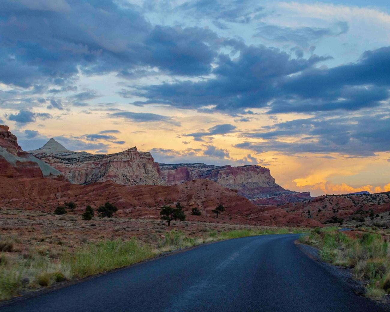 Nantahala National Forest
Explore the natural splendor of Nantahala National Forest in North Carolina, a haven for outdoor enthusiasts with hiking, rafting, and breathtaking mountain views.
-

-


Swipe for more destinations
Explore more

Explore more of Georgia
Discover Georgia: A vibrant mix of ancient history, stunning landscapes, and warm hospitality at the crossroads of Europe and Asia.
Explore Georgia