
Historischer Plan der Stadt
Explore Bonn's captivating past through an intricate historical city map, tracing its evolution from Roman settlement to Germany's former capital.
The Historischer Plan der Stadt (Historical City Map) in Bonn offers a fascinating glimpse into the city's rich past. Located in the heart of Bonn, this historical landmark provides a unique perspective on how the city evolved over centuries. Visitors can explore the intricate details of the map, tracing the development of Bonn from its early beginnings as a Roman settlement to its time as the capital of West Germany. The map showcases significant landmarks, old city walls, and the changing layout of streets, offering a tangible connection to Bonn's historical narrative. It's a must-see for history enthusiasts and anyone interested in understanding the urban development of this vibrant German city. The detailed cartography and historical context make it an engaging and educational experience for all ages. Exploring the map provides a deeper appreciation for Bonn's cultural heritage and its transformation through time, making it a worthwhile stop on any Bonn itinerary.
A brief summary to Historický plán města
- Bonn, DE
Local tips
- Combine your visit with a walking tour of Bonn's Old Town to see the historical landmarks in person and gain a deeper understanding of the city's past.
- Check for guided tours or informational panels near the map to learn more about specific historical periods and events in Bonn's history.
- Visit the Bonn City Museum (StadtMuseum Bonn) to complement your map exploration with additional exhibits and artifacts related to the city's history.
Getting There
-
Walking
The Historischer Plan der Stadt is centrally located in Bonn's city center, making it easily accessible on foot from many major attractions and transport hubs. From the Bonn Minster or the Market Square (Marktplatz), walk in the general direction of the University of Bonn. The map is often displayed in a public area or museum near the university. Orientation is easy due to the central location.
-
Public Transport
If arriving by public transport, the closest stops are 'Universität/Markt' (subway lines 16, 63, 66) or 'Bertha-von-Suttner-Platz/Beethovenhaus' (tram lines 61, 62). From either stop, it's a short walk to the city center and the likely location of the historical map, near the University of Bonn. A single ticket within Bonn (price level 1b) costs approximately €2.20.
-
Taxi/Ride-Share
A taxi or ride-share from Bonn Central Station (Hauptbahnhof) to the city center location of the Historischer Plan der Stadt would be a short ride, costing approximately €8-€12, depending on traffic. Ask to be dropped off near the University of Bonn or the Marktplatz.
Discover more about Historický plán města
Iconic landmarks you can’t miss
Historický plán města
0.0 km
Explore Bonn's captivating past through an intricate historical city map, tracing its evolution from Roman settlement to Germany's former capital.
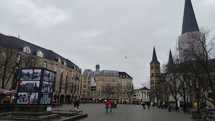
Minster of St. Martin's
0.1 km
Explore the Minster of St. Martin's in Bonn, a historic Catholic church showcasing stunning Gothic architecture and a rich cultural heritage.
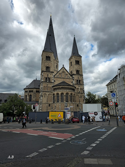
Foyer am Bonner Münster
0.1 km
Discover Bonn's historical heart at the Foyer am Bonner Münster, a modern gateway to a Romanesque basilica and medieval cloisters, blending architecture and history.
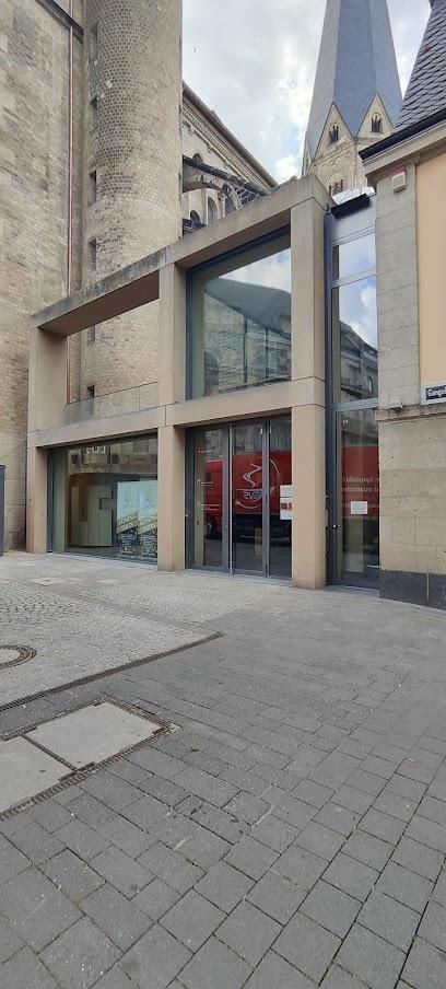
Münsterpl.
0.1 km
Discover Münsterplatz in Bonn: A historic square where Romanesque architecture meets the iconic Beethoven Monument, offering a vibrant blend of culture and events.
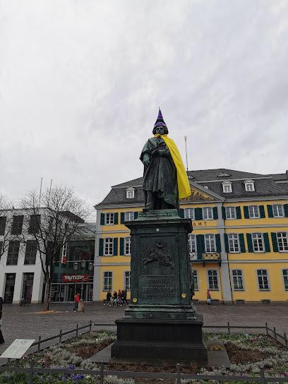
Beethoven-Denkmal
0.1 km
Explore Bonn's Beethoven-Denkmal, a cultural landmark celebrating the legacy of the great composer surrounded by vibrant gardens and city life.
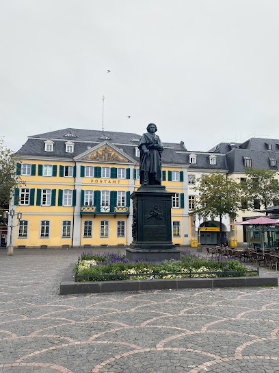
Martinsbrunnen
0.1 km
Discover Bonn's Martinsbrunnen: A historic fountain symbolizing charity and resilience, nestled in the heart of the city near the iconic Bonn Minster.
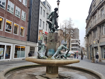
Sterntor Bonn Innenstadt
0.2 km
Discover the Sterntor in Bonn, a reconstructed medieval gate blending history and modernity in the heart of the city, surrounded by vibrant shops and cultural attractions.
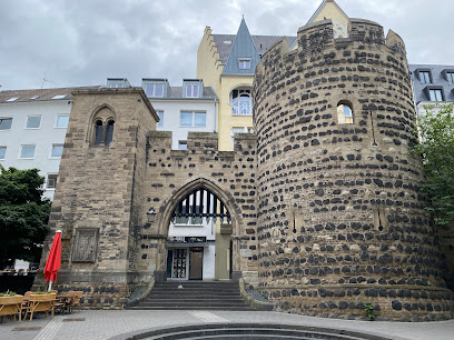
Sterntor
0.2 km
Discover the Sterntor in Bonn, a reconstructed medieval gate offering a glimpse into the city's rich history and serving as a vibrant hub in the heart of the city center.
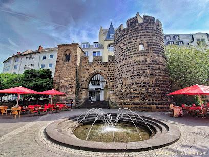
Schloßkirche Bonn
0.2 km
Discover Bonn's hidden gem: The Schloßkirche, a historic church nestled within the University, offering a serene escape and a glimpse into the city's cultural heritage.
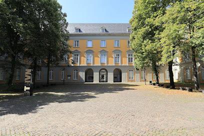
Marktplatz
0.2 km
Experience the vibrant heart of Bonn at Marktplatz, a historical square offering markets, stunning architecture, and a taste of local life, all in the city's central hub.
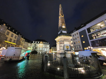
Altes Rathaus
0.2 km
Discover Bonn's iconic Altes Rathaus: a Rococo masterpiece in the heart of the city, steeped in history and surrounded by vibrant culture on the bustling Marktplatz.
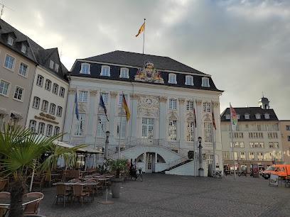
Holy Name Church
0.3 km
Discover the Baroque splendor of Bonn's Holy Name Church, a unique cathedral with a captivating blue, grey, and gold interior, hosting liturgies, concerts, and exhibitions in the heart of the city.
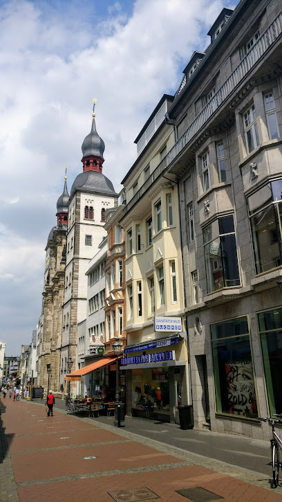
Bonngasse 6
0.3 km
Discover the life and legacy of Ludwig van Beethoven at his birthplace in Bonn, exploring original manuscripts, instruments, and personal artifacts in an immersive historical setting.
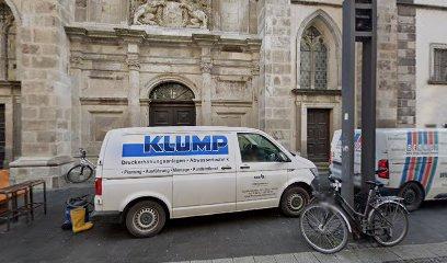
St. Remigius, Bonn
0.3 km
Discover St. Remigius in Bonn: A historic Gothic church with ties to Beethoven, offering a serene escape in the heart of the city and a glimpse into Bonn's rich past.
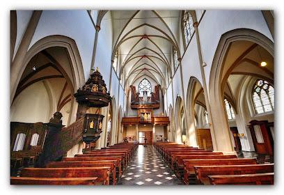
Koblenzer Tor
0.4 km
Discover Bonn's past at the Koblenzer Tor, a neo-Gothic gatehouse offering a glimpse into the city's 19th-century fortifications and its enduring historical significance on Adenauerallee.
Unmissable attractions to see
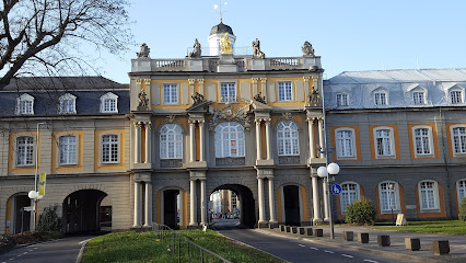
Kurfürstliches Schloss
0.1 km
Explore the exquisite Kurfürstliches Schloss, a historical landmark in Bonn showcasing stunning architecture and rich cultural heritage.
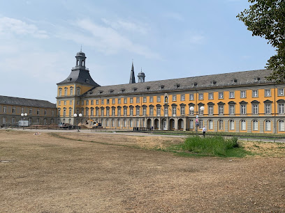
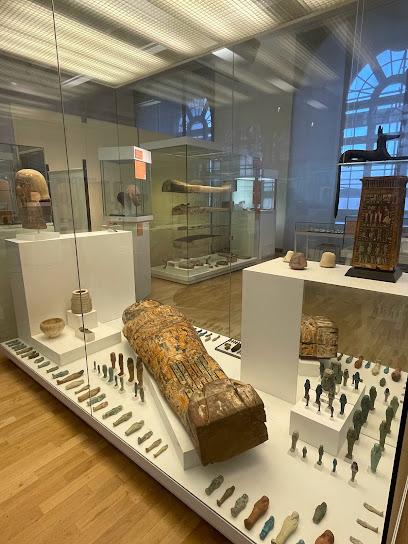
Ägyptisches Museum
0.1 km
Explore ancient Egypt at the Ägyptisches Museum in Bonn, home to exquisite artifacts and rich historical narratives that bring the past to life.
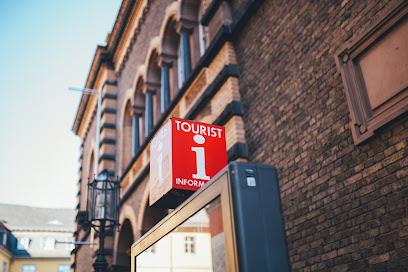
Bonn Information
0.2 km
Discover Bonn through its Tourist Information Center, your essential guide to exploring the city's rich history, culture, and attractions.
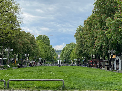
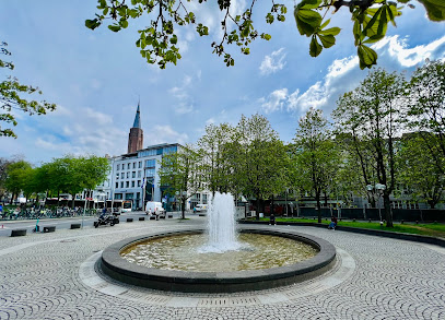
Kaiserbrunnen Springbrunnen Kaiserplatz
0.2 km
Discover the serene beauty of Kaiserbrunnen Springbrunnen at Kaiserplatz, a charming fountain in the heart of Bonn steeped in history and culture.
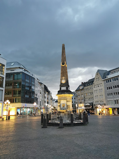
Market Fountain
0.2 km
Discover Bonn's Market Fountain, a vibrant symbol of the city's rich history, surrounded by cafes and shops, perfect for relaxation and socializing.
Bonn-Zentrum Springbrunnen
0.2 km
Experience the charm of Bonn-Zentrum Springbrunnen, where culture, relaxation, and vibrant city life converge in the heart of Bonn.
Walk of Fame Bonn
0.3 km
Explore Bonn's Walk of Fame, an open-air tribute to music legends, celebrating the city's rich musical heritage and cultural contributions.
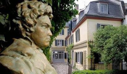
Beethoven-Haus Bonn
0.4 km
Discover the legacy of Ludwig van Beethoven at his birthplace in Bonn, where music history comes to life through remarkable exhibits and performances.
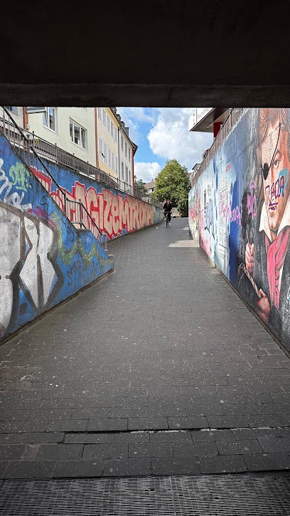
Unterführung unter'm Belderberg
0.4 km
Explore the artistic charm of Unterführung unter'm Belderberg, a vibrant underpass in Bonn showcasing captivating street art and local culture.
Arithmeum
0.5 km
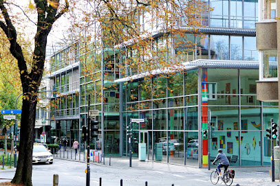
Explore the captivating world of mathematics at the Arithmeum in Bonn – where art meets science in an interactive museum experience.
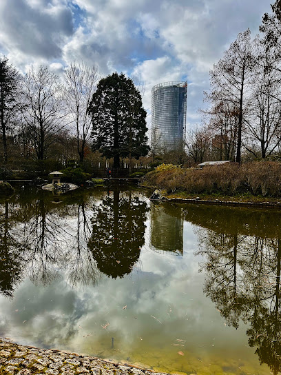
Cherry Blossom Bonn / Kirschblüte Bonn
0.5 km
Discover the breathtaking Cherry Blossom Bonn, where spring transforms the city into a stunning display of nature's beauty and tranquility.

LVR-LandesMuseum Bonn
0.6 km
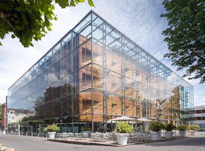
Discover the rich cultural heritage at the LVR-LandesMuseum Bonn, where art meets history in a captivating experience.
Theater Bonn Opera House
0.6 km
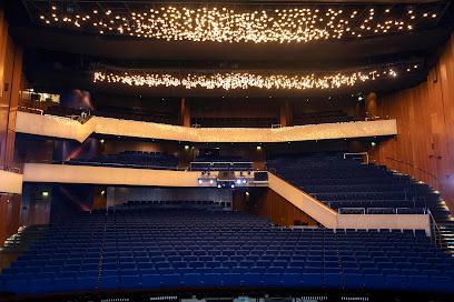
Discover the charm of Theater Bonn Opera House, where captivating performances and stunning architecture await in the heart of Bonn.
Lenné-Parterre
0.6 km
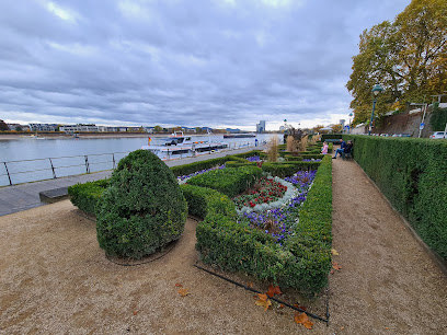
Experience the natural beauty and historical charm of Lenné-Parterre in Bonn, a serene park perfect for relaxation and exploration.
Bonner Rheinuferpromenade
0.6 km
Discover the charm of Bonn at the Bonner Rheinuferpromenade, a scenic riverside promenade perfect for leisurely walks, dining, and soaking in local culture.
Essential places to dine
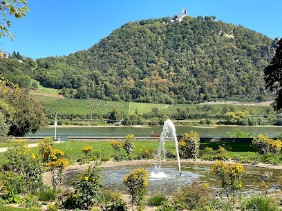
Plaza Toro | Tapas Bar Bonn | Spanisches Restaurant Bonn
0.1 km
Experience authentic Spanish cuisine at Plaza Toro - Bonn's premier tapas bar offering a vibrant atmosphere and delectable small plates.
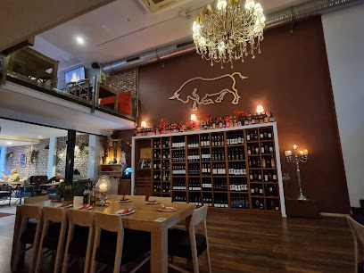
Tuscolo Munster view
0.1 km
Discover Tuscolo Munster in Bonn - where authentic Italian cuisine meets charming hospitality.
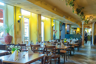
Wirtshaus Salvator
0.1 km
Discover authentic Bavarian flavors at Wirtshaus Salvator in Bonn—where tradition meets taste in every dish.
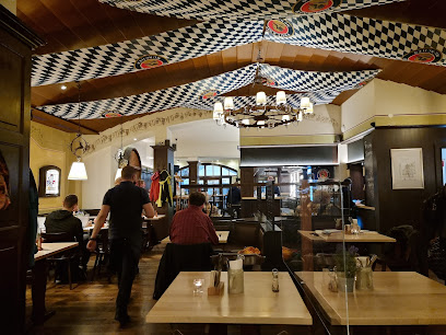
Cafe Giaccomo
0.2 km
Experience authentic Italian cuisine and exquisite cocktails at Cafe Giaccomo in Bonn – where every meal is a delightful journey.
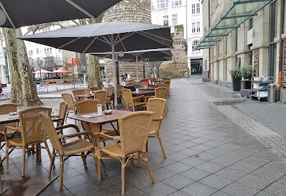
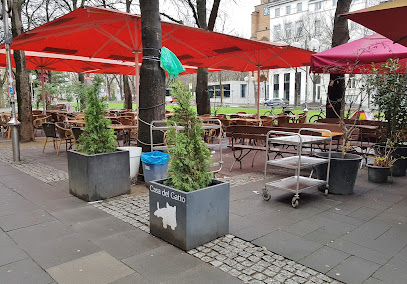
Casa del Gatto
0.2 km
Experience authentic Italian cuisine at Casa del Gatto in Bonn's charming atmosphere with an inviting beer garden.
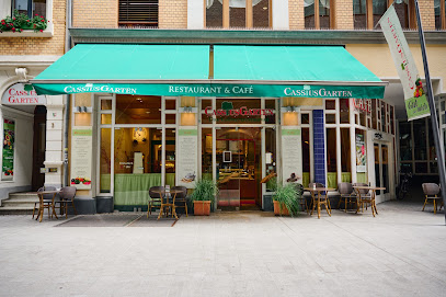
Cassius Garten Vollwert-Ernährung GmbH
0.2 km
Discover delicious vegetarian and vegan delights at Cassius Garten in Bonn – where health meets flavor in every bite.
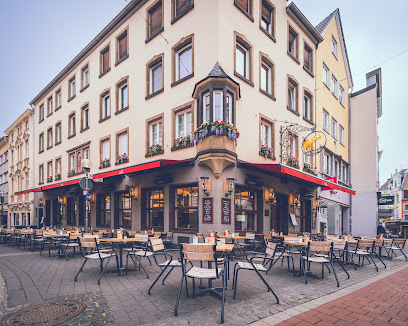
Elefant Bonn
0.3 km
Experience authentic German cuisine at Elefant Bonn, where traditional flavors meet modern dining in a charming atmosphere.
Em Höttche
0.3 km
Discover the essence of German cuisine at Em Höttche in Bonn – where tradition meets taste in a cozy setting.
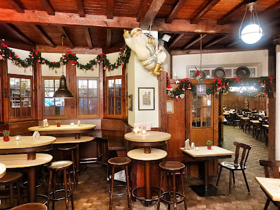
Mandu
0.3 km
Discover authentic Korean cuisine at Mandu in Bonn - a hidden gem offering delicious flavors at affordable prices.

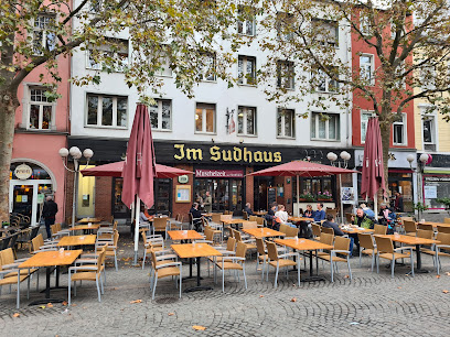
Sudhaus
0.3 km
Experience the best of Bonn's culinary scene at Sudhaus - where local flavors meet modern dining in an inviting atmosphere.
La Cigale
0.3 km
Discover the refined taste of French haute cuisine at La Cigale in Bonn - where elegance meets exquisite flavors.

Shiraz Restaurant
0.3 km
Discover authentic Persian flavors at Shiraz Restaurant in Bonn – where every dish tells a story.
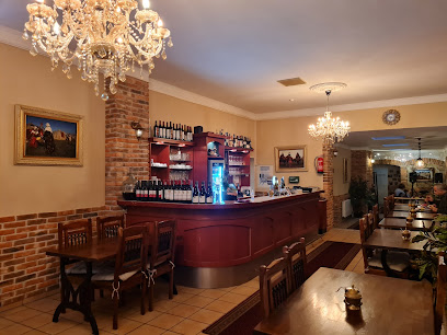
Tio Pepe Bar & Restaurant
0.4 km
Discover the flavors of Spain at Tio Pepe Bar & Restaurant in Bonn – home to delicious tapas and expertly grilled steaks.

Restaurant Olive
0.4 km
Experience authentic Greek cuisine at Restaurant Olive in Bonn - where every meal feels like a celebration of flavors.
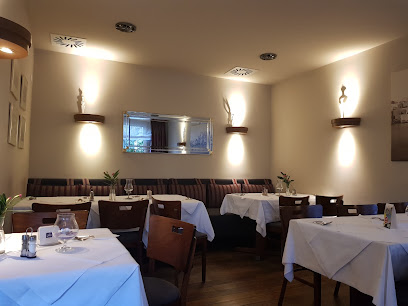
Gasthaus im Stiefel
0.4 km
Discover authentic German cuisine at Gasthaus im Stiefel in Bonn - where tradition meets taste in every dish.
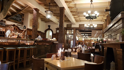
Markets, malls and hidden boutiques
GALERIA Bonn
0.1 km
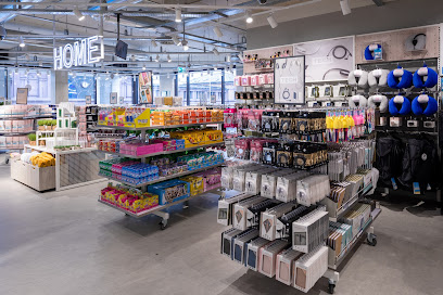
Experience the ultimate shopping destination at GALERIA Bonn, where style meets variety in the heart of Germany's charming city.

Blue Tomato Shop Bonn
0.1 km
Discover the ultimate skate and snowboard gear at Blue Tomato Shop Bonn, where sportswear meets community spirit and adventure awaits.

Lindt Store
0.1 km
Discover the ultimate chocolate experience at Lindt Store in Bonn, where exquisite flavors and delightful treats await every chocolate lover.

TK Maxx
0.1 km
Explore the eclectic offerings of TK Maxx in Bonn for unbeatable deals on fashion and home goods in a vibrant shopping atmosphere.

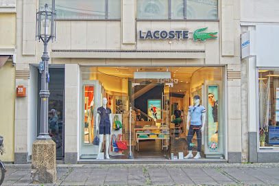
Lacoste
0.1 km
Discover stylish apparel and accessories for the whole family at Lacoste in Bonn, where quality meets contemporary fashion.
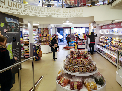
HARIBO Store
0.1 km
Discover the enchanting HARIBO Store in Bonn, a candy lover's paradise with unique gummy treats and delightful flavors waiting to be explored.
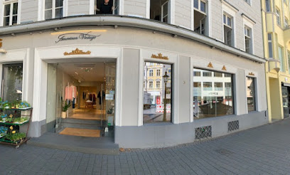
American Vintage
0.1 km
Explore unique fashion pieces at American Vintage in Bonn – where contemporary meets vintage in a stylish shopping haven.
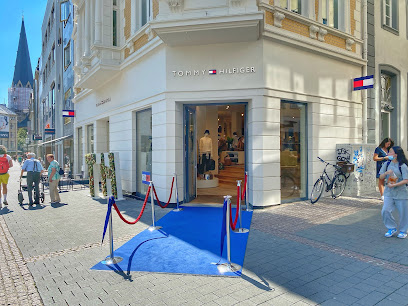
TOMMY HILFIGER Bonn Store
0.2 km
TOMMY HILFIGER Bonn Store: Your destination for stylish American fashion and accessories in the heart of Bonn.
G-Star RAW Store
0.2 km
Explore the trendy G-Star RAW Store in Bonn for top-notch denim, stylish clothing, and fashionable accessories, all in one chic destination.

Queencoco Bonn
0.2 km
Explore the chic selection at Queencoco Bonn, a premier women's clothing store offering stylish apparel and local fashion trends.

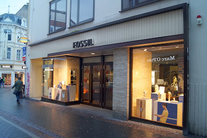
FOSSIL Store Bonn
0.2 km
Explore the exquisite FOSSIL Store in Bonn for timeless fashion accessories, watches, and luxury leather goods that embody elegance and style.
Magazzino Designermode Outlet
0.2 km
Explore unbeatable deals on designer fashion at Magazzino Designermode Outlet in Bonn, where style meets savings!
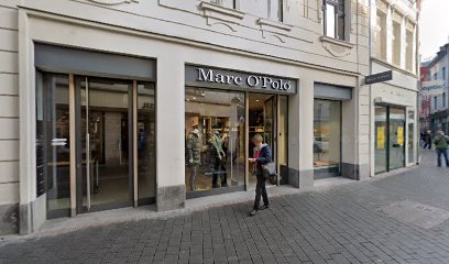
HUT.de Store Bonn
0.2 km
Explore HUT.de Store in Bonn for an exquisite selection of hats that blend style, comfort, and uniqueness, perfect for every fashion lover's collection.
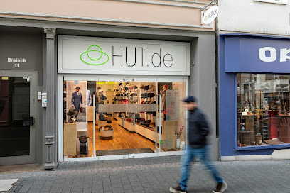
PIMKIE
0.2 km
Explore PIMKIE in Bonn for trendy women's clothing, accessories, and footwear that embody style and affordability in the heart of Germany.

Primark
0.2 km
Discover affordable fashion at Primark Bonn, where style meets budget-friendly shopping in the heart of the city.
Essential bars & hidden hideouts
James Joyce - Bonn
0.1 km
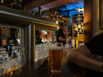
Discover the vibrant atmosphere and authentic Irish cuisine at James Joyce - Bonn, a must-visit pub for every traveler in the city.
Che Guevara
0.3 km
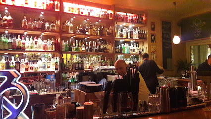
Discover the vibrant atmosphere and eclectic cocktails at Che Guevara, Bonn's favorite bar for a lively night out.
Zebulon - Bonn
0.3 km
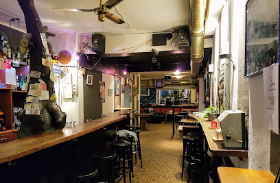
Discover the lively atmosphere and delightful drinks at Zebulon, Bonn's favorite pub, where local culture and friendly service await you.
The Old Jacob - Bonn
0.3 km
Discover The Old Jacob in Bonn: A cocktail bar where creativity meets ambiance, offering innovative drinks in a vibrant atmosphere.
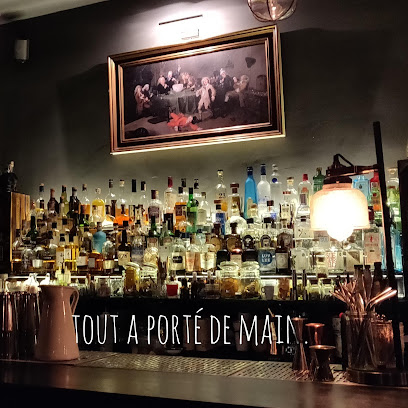
DIE WILDE MUTTI
0.4 km
Experience the vibrant nightlife of Bonn at DIE WILDE MUTTI, where eclectic drinks and a welcoming atmosphere await every traveler.

Bla
0.5 km
Discover the vibrant atmosphere of Bla, Bonn's premier bar, offering a unique blend of local nightlife and stylish ambiance for every visitor.
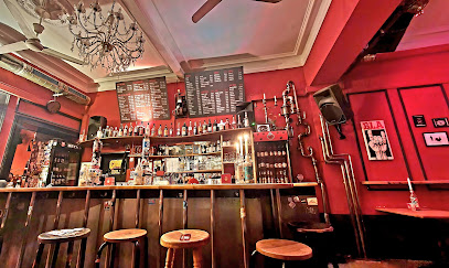
Namenlos - Bonn
0.5 km
Experience the unpretentious charm of Namenlos, Bonn’s favorite pub offering a cozy atmosphere and affordable drinks for every traveler.
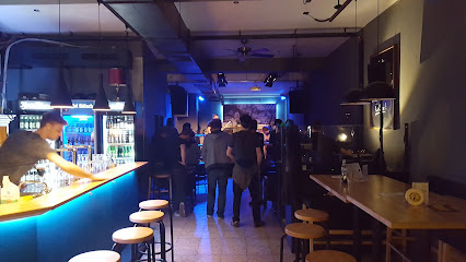
Shaker's
0.6 km
Experience the vibrant atmosphere of Shaker's, Bonn's top cocktail bar and lounge offering expertly crafted drinks and a welcoming ambiance.
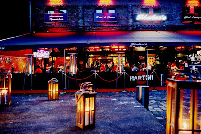
Steinbeck
0.6 km
Discover Steinbeck in Bonn, a lively bar known for its creative cocktails, cozy ambiance, and vibrant nightlife.

Dubliner Irish Pub Bonn
0.6 km
Discover the vibrant spirit of Ireland at Dubliner Irish Pub Bonn, where great food, drinks, and entertainment await every visitor.
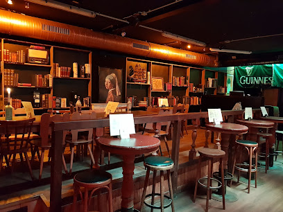
UnFassBar - Bonn
0.6 km
Experience the vibrant nightlife of Bonn at UnFassBar, where great drinks and a lively atmosphere await you.
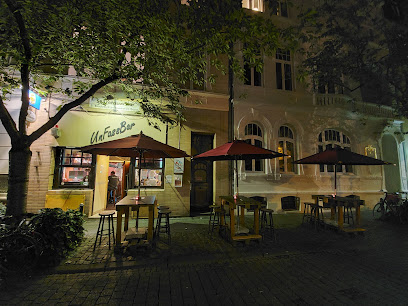
Embassy Bar - Bonn
0.7 km
Experience the vibrant nightlife at Embassy Bar in Bonn, where locals and tourists gather for great drinks and a lively atmosphere.
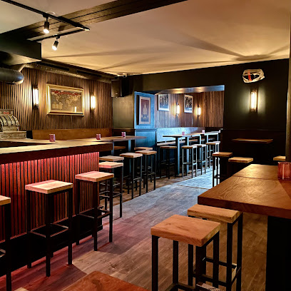
Babel - Bonn
0.7 km
Discover the lively ambiance and extensive drink selection at Babel - Bonn, your perfect night out in the heart of the city.
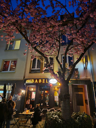
Tresor
0.7 km
Discover the heart of Bonn’s nightlife at Tresor, where excellent drinks and a vibrant atmosphere come together for an unforgettable experience.
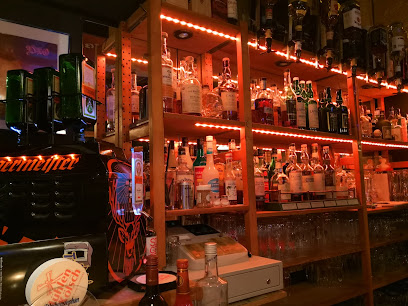
SIEGFRIED - Büro & Bar
0.7 km
Experience Bonn's vibrant nightlife at Siegfried - Büro & Bar, where cozy elegance meets a lively atmosphere for an unforgettable evening.
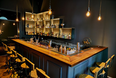
Nightclubs & after hour spots
Carpe Noctem
0.1 km
Explore Bonn's nightlife at Carpe Noctem, a vibrant disco club offering electrifying music and an unforgettable dance experience.

Gleis8
0.2 km
Discover the energetic nightlife of Bonn at Gleis8, the city's hotspot for dancing, socializing, and enjoying unforgettable nights out.

Untergrund - Bonn
0.3 km
Dive into the electrifying nightlife of Bonn at Untergrund, a must-visit disco club and bar for a memorable night of dancing and fun.

Blow Up Club - Bonn
0.4 km
Unleash your night at Blow Up Club, Bonn's ultimate nightlife destination with electrifying music and a vibrant atmosphere.
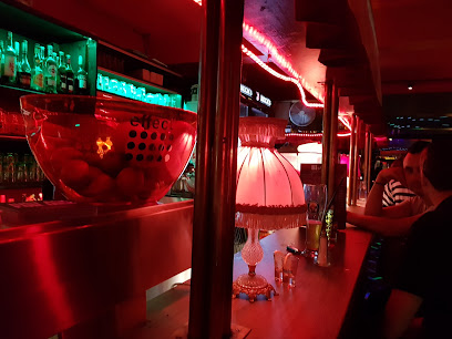
Odonis by Kramm
0.4 km
Experience the pulse of Bonn's nightlife at Odonis by Kramm, where electrifying beats and vibrant atmosphere create unforgettable memories.
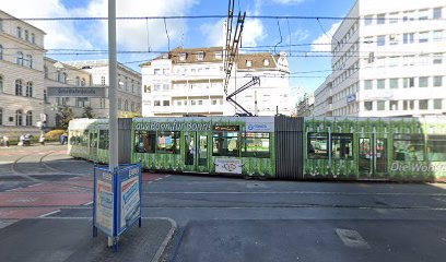
Die Falle - Bonn
0.4 km
Dive into Bonn's vibrant nightlife at Die Falle, the ultimate disco club where music and fun come alive until dawn.
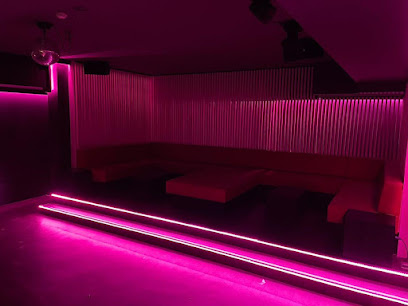
Jazz Galerie - Bonn
0.4 km
Discover Bonn's vibrant nightlife at Jazz Galerie, where live jazz and disco come together for an unforgettable experience.
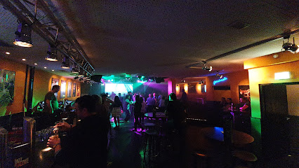
Club N8schicht Bonn
0.5 km
Dive into the vibrant nightlife of Bonn at Club N8schicht, where music and dancing come alive in a lively disco setting.

N8Lounge
0.5 km
Experience the vibrant nightlife of Bonn at N8Lounge, where electrifying beats and a lively atmosphere await every party enthusiast.
Electrum Club GmbH
22.1 km
Experience the electrifying nightlife at Electrum Club in Cologne, where vibrant music and unforgettable moments await every night.

Tsunami Club
23.2 km
Experience the vibrant nightlife of Cologne at Tsunami Club, where electrifying music and a lively atmosphere await every partygoer.

STUKMANS
23.3 km
Experience the electrifying atmosphere of STUKMANS, Cologne's vibrant bar and disco club, where unforgettable nights come alive with great music and fun.
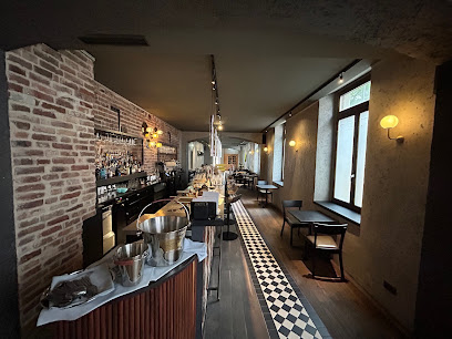
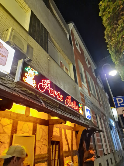
Diskothek Porto Bello
23.4 km
Experience the vibrant nightlife of Euskirchen at Diskothek Porto Bello, where electrifying beats and a lively atmosphere await you.
Birthday Club Cologne
24.0 km
Experience the vibrant nightlife at Birthday Club Cologne – where music, dance, and celebration come together in the heart of the city.

Red Cat Lounge
24.2 km
Discover the lively Red Cat Lounge, Cologne's premier disco club and bar, where unforgettable nights and vibrant music come together.


