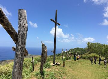
Mount Jumullong Summit
Mount Jumullong Summit: A Hiker's Delight

Hike Guam's highest peak, Mt. Lam Lam, for breathtaking views and a unique connection to the island's natural and cultural heritage.
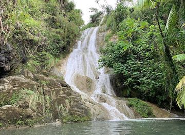
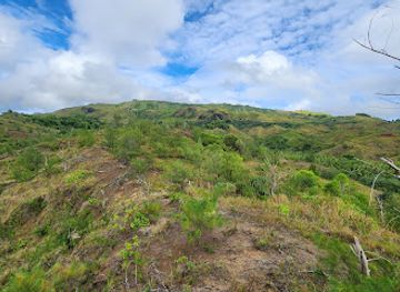
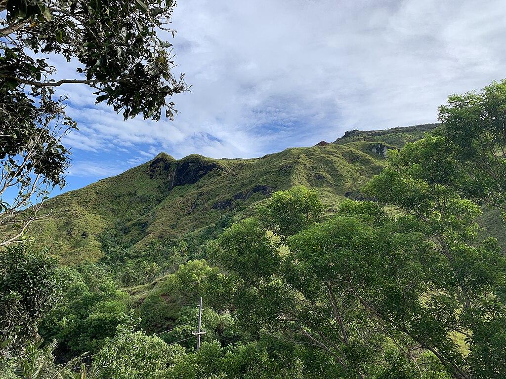
Ascend Mt. Lam Lam, Guam's highest point, for panoramic views and a connection to the island's unique natural and cultural history. The well-worn trail offers a moderately challenging hike through diverse terrain, rewarding you with breathtaking vistas of the island and the surrounding ocean.
Opening times, essentials, and a few local tips gathered into one calmer, easier-to-scan planning section.
Driving
From Tumon Bay, drive south on Marine Corps Drive (Route 1). Turn left onto Route 2A, then continue onto Route 2. Drive through Agat and continue for approximately 3 miles. Look for a red wall on the right; the trailhead is across the street on the left. Parking is free. The drive is approximately 40 minutes.
Public Transport
Take the Guam Public Transit Authority (GPTA) bus towards Hågat. Get off at the bus stop closest to the access road to Mt. Lam Lam. From there, walk approximately 0.5 miles to reach the trailhead. Bus fare is around $3 for a day pass. Check local bus schedules for accurate timing.
Taxi/Rideshare
Taxis and rideshares are available from major tourist areas like Tumon Bay. A taxi ride to the Mt. Lam Lam trailhead will cost approximately $30-$40. Confirm the fare with the driver before starting your trip.
Use Tower Bridge as your starting point for nearby food, family ideas, nightlife, and more local discoveries.

Explore expert travel guides, compare and book tours, experiences, hotels, and more—all from the palm of your hand. Download now for seamless trip planning wherever your wanderlust takes you.
Explore Mount Lamlam in Guam, the island's highest peak with stunning views, rich cultural significance, and a unique claim as the world's tallest mountain from base to summit.
Tell me more about Mount Lamlam