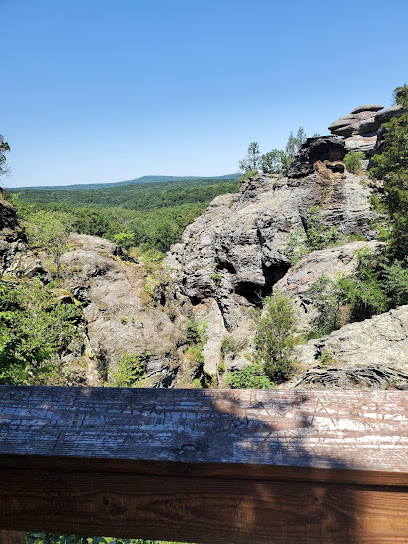
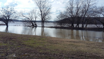
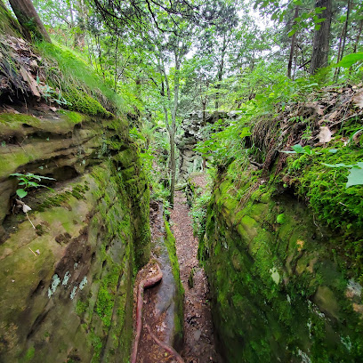
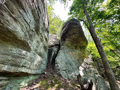
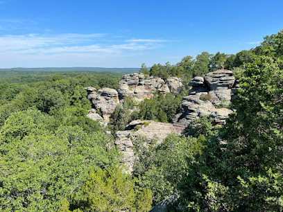
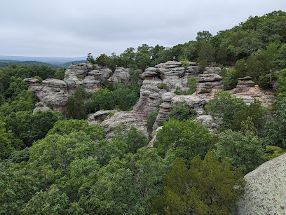
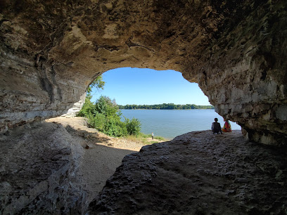
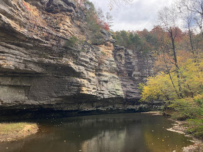
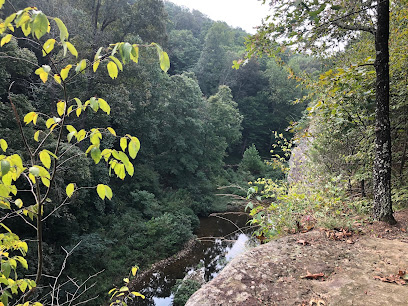
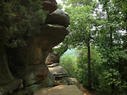
Rim Rock National Recreation Trail: A Journey Through Time and Nature
Explore stunning rock formations, historic landmarks, and scenic trails at Rim Rock National Recreation Trail in Shawnee National Forest.
Discover the beauty and history of Rim Rock National Recreation Trail in Shawnee National Forest, Illinois. Hike among unique rock formations, explore caves, and witness remnants of Native American civilization and early settlers.
A brief summary to Rim Rock National Recreation Trail
- Eagle Creek, RR 1, Box 198B, Findlay, Illinois, 62534, US
- +1618-658-2111
- Visit website
Local tips
- Check the Forest Service website for current trail conditions and closures before your visit.
- Wear sturdy shoes and be prepared for uneven terrain, especially on the Lower Trail.
- Bring water and snacks, as there are no concessions available on the trail.
- Visit in the spring to witness the spectacular display of woodland wildflowers.
Getting There
-
Driving
To reach Rim Rock National Recreation Trail from Harrisburg, Illinois, take Highway 34/145 south for 6 miles, then continue on Highway 34 south for 9 miles. Turn east onto Karbers Ridge Road and drive 8.3 miles to the Rim Rock entrance road. Turn left into the Rim Rock parking lot and trailhead. Parking is free and plentiful, with designated spaces for handicap parking and buses.
Discover more about Rim Rock National Recreation Trail
Iconic landmarks you can’t miss
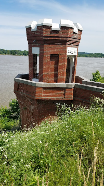
Garden of the Gods Outpost
8.0 km
Discover the breathtaking beauty and adventure of Garden of the Gods Outpost, a perfect blend of nature, dining, and shopping in Illinois.
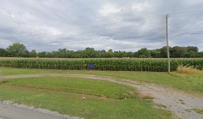
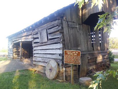
Corn Crib on Potts Inn Historic Site
8.2 km
Explore the Corn Crib at Potts Inn Historic Site in Elizabethtown, Illinois, and discover the region's captivating agricultural heritage.
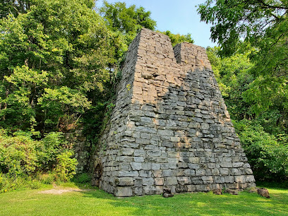
Martha Furnace (National Historic Site)
10.3 km
Discover Illinois' industrial heritage at Martha Furnace, a preserved 19th-century iron production site nestled in a peaceful, wooded setting.
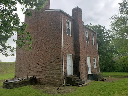
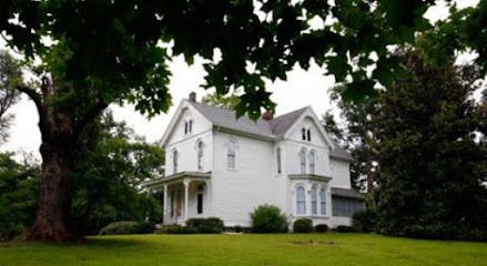
John Marshall House Museum
16.1 km
Explore pioneer life and banking history at the John Marshall House Museum in Old Shawneetown, Illinois' historically rich landmark.
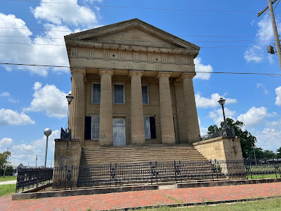
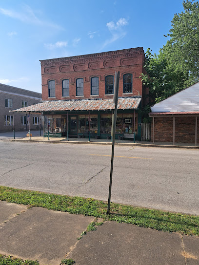
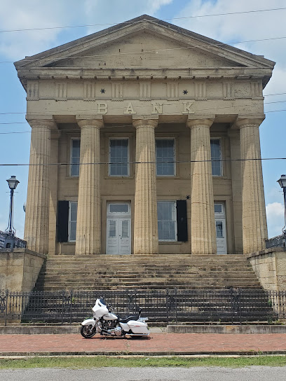
Shawneetown Bank State Historic Site
16.4 km
Visit the historic Shawneetown Bank, Illinois' oldest bank building, and discover the rich history of this early commercial center.
Southeastern Illinois College
21.7 km
Southeastern Illinois College: Education, arts, and athletics converge in the heart of Little Egypt, offering diverse opportunities for students and the community.
Historical Marker
28.1 km
Explore the Historical Marker in Eldorado, Illinois, and connect with the rich tapestry of local history that shaped this charming town.
Berry's Ferry John Berry Homesite on Trail of Tears
30.4 km
Explore Berry's Ferry in Smithland, KY, a significant historical site on the Trail of Tears that honors the Cherokee Nation's enduring spirit and legacy.
William Rondeau Hermitage Historic Site
30.7 km
Experience the historical charm of the William Rondeau Hermitage, a serene landmark steeped in Kentucky's rich heritage and architectural beauty.

Carrier Mills Archaeological District
31.1 km
Discover the rich heritage and serene beauty of the Carrier Mills Archaeological District, a hidden gem in Illinois showcasing ancient Native American history.
Golconda Historic District
31.8 km
Discover the charm of a bygone era in Golconda Historic District, where 19th-century architecture meets the tranquil beauty of the Ohio River.
Miller Grove Town National Historic Site
33.8 km
Explore the Miller Grove Town National Historic Site in Simpson, Illinois, where history meets nature in a captivating and tranquil setting.
Four Points, River to River Trail
35.4 km
A key intersection on the River to River Trail, offering access to the scenic Shawnee National Forest in Southern Illinois.
John Dupont House Historic Site
43.5 km
Step back in time at the John Dupont House Historic Site in New Burnside, Illinois, and explore 19th-century architecture and local history.
Shady Rest Historic Site
44.1 km
Explore the intriguing history of Shady Rest Historic Site in Pittsburg, IL, once the infamous haunt of gangster Charlie Birger.
Unmissable attractions to see
High Knob Lookout
4.4 km
Discover breathtaking views and serene hikes at High Knob Lookout in the enchanting Shawnee National Forest, a perfect escape for nature lovers and adventurers.
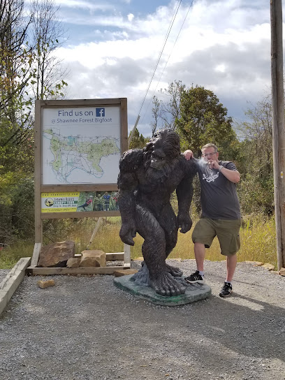
Shawnee Bigfoot Statue
8.0 km
Explore the quirky Shawnee Bigfoot Statue in the Garden of Gods, Illinois—where folklore meets stunning natural beauty.
Indian Point Trailhead
9.1 km
Explore the serene beauty of Indian Point Trailhead in Herod, Illinois, a hiking paradise featuring breathtaking views and tranquil nature trails.
Garden of the Gods
9.4 km
Discover breathtaking rock formations and scenic trails at the Garden of the Gods, a must-visit natural wonder in Southern Illinois.
Camel Rock
9.5 km
Discover the enchanting Camel Rock in Herod, Illinois, where unique geological formations meet stunning natural beauty.
Illinois Iron Furnace (National Historic Site)
12.3 km
Explore the Illinois Iron Furnace, a National Historic Site revealing the area's rich industrial past amidst stunning natural beauty.
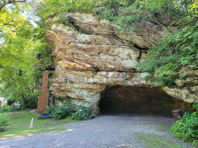
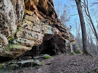
Herod Cave Historic Site
14.6 km
Explore the captivating natural beauty and geological wonders at Herod Cave Historic Site, a must-visit historical landmark in Illinois.
Cave-In-Rock State Park
18.4 km
Explore the natural beauty and rich history of Cave-In-Rock State Park, a premier destination for outdoor adventures and scenic landscapes in Illinois.
Lusk Creek Canyon Nature Preserve
24.9 km
Discover the breathtaking landscapes and abundant wildlife at Lusk Creek Canyon Nature Preserve in Eddyville, Illinois, a true outdoor paradise.
Indian Kitchen Trailhead
27.1 km
Discover the tranquility of Indian Kitchen Trailhead, a breathtaking hiking area in Eddyville, Illinois, perfect for nature lovers and outdoor adventures.
Saline County Area Museum (Saline Creek Pioneer Village and Museum)
27.4 km
Explore the rich history at Saline County Area Museum, where the past comes alive through engaging exhibits and charming pioneer structures.
Bay Creek Wilderness
30.8 km
Explore the natural wonders and serene landscapes of Bay Creek Wilderness in Stonefort, Illinois, perfect for hiking, birdwatching, and outdoor adventures.
Buel House State Historic Site
32.1 km
Explore the Buel House State Historic Site in Golconda, Illinois, a beautifully restored 19th-century home showcasing local history and architecture.
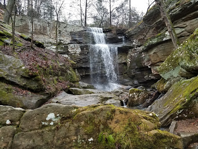
Burden Falls Trailhead
32.4 km
Explore the natural beauty and serene landscapes of Burden Falls Trailhead, a premier hiking destination in Stonefort, Illinois, ideal for nature enthusiasts.
Sand Cave - Underground Railroad National Historic Site
34.1 km
Uncover the history of the Underground Railroad at the Sand Cave National Historic Site, a captivating landmark rich in natural beauty.
Essential places to dine
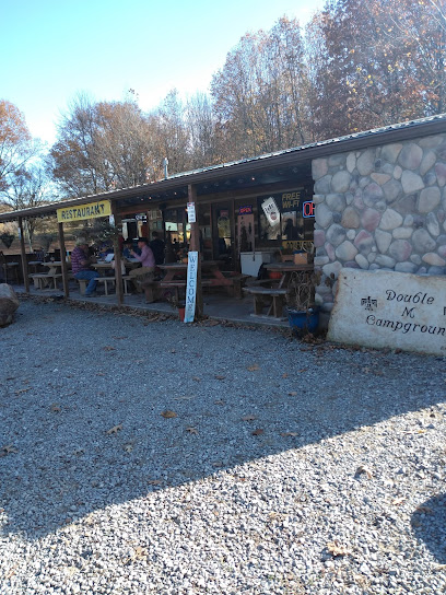
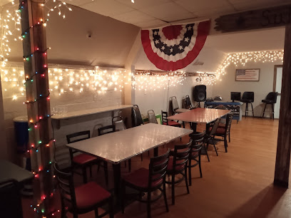
Double M Campground
3.2 km
Discover tranquility at Double M Campground in Junction, Illinois - your ultimate outdoor retreat with dining options!
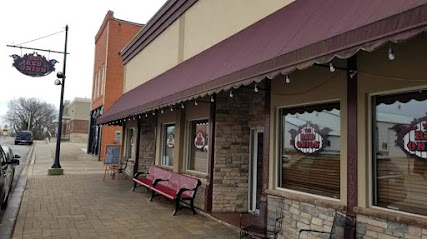
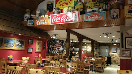
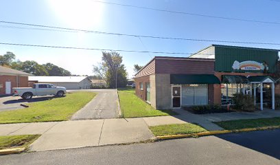
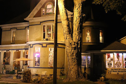
Trails End Grill
3.3 km
Discover Trails End Grill: A charming restaurant in Junction offering delicious American cuisine and scenic views near Garden of the Gods.
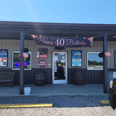
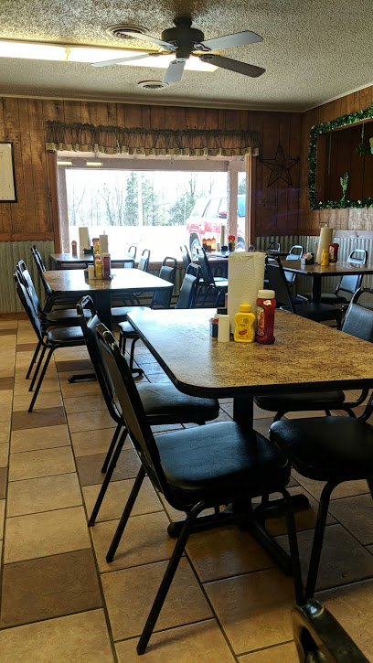
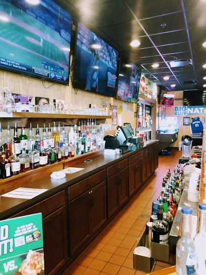
Gap Bar
13.5 km
Experience delicious grilling at Gap Bar in Herod, Illinois - where every meal is crafted with care in a friendly atmosphere.
Lincoln Street Grille & Pub
14.8 km
Discover the charm of Shawneetown at Lincoln Street Grille & Pub – where delicious grilled fare meets warm hospitality in a vibrant setting.
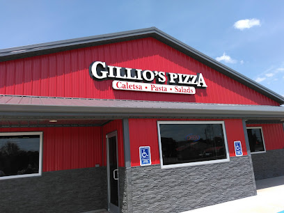
Gillio's Pizza
14.8 km
Savor delicious handcrafted pizzas at Gillio's Pizza in Shawneetown—where every bite feels like home.
The Red Onion
15.7 km
Discover The Red Onion: A charming American eatery in Equality offering exquisite seafood and steak dishes in a welcoming atmosphere.
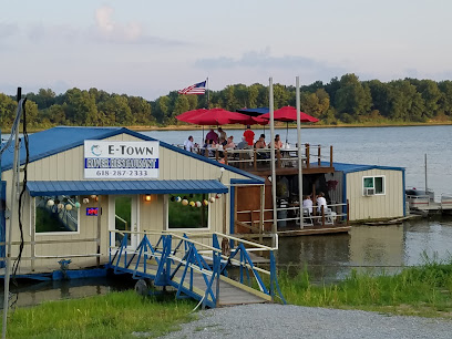
E'Town River Restaurant
17.7 km
Experience authentic Southern cuisine in a unique riverside setting at E'Town River Restaurant in Elizabethtown, Illinois.
Cave-In-Rock State Park Restaurant
18.5 km
Experience delicious American cuisine surrounded by breathtaking nature at Cave-In-Rock State Park Restaurant in Illinois.
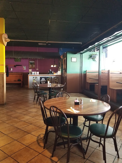
El Ranchito Restaurant
26.9 km
Discover the vibrant flavors of Mexico at El Ranchito Restaurant in Harrisburg – where authentic cuisine meets warm hospitality.
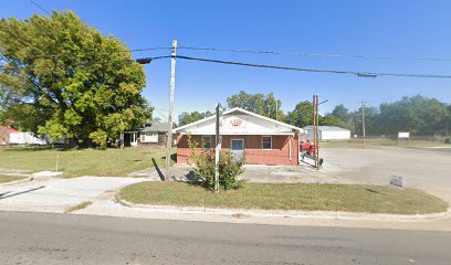
Liz's Cafe
27.0 km
Discover Liz's Cafe in Eldorado: A cozy American eatery offering delicious comfort food in an inviting atmosphere perfect for tourists.
Dad's BBQ, Inc
27.0 km
Discover mouthwatering barbecue and delightful breakfast at Dad's BBQ, Inc in Eldorado - a true taste of American comfort food.
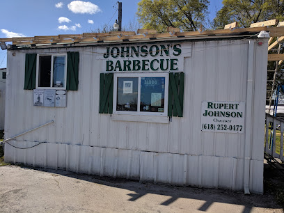
Johnson Southern Style Bar-B-Q
27.2 km
Discover authentic Southern barbecue flavors at Johnson Southern Style Bar-B-Q in Harrisburg, Illinois - a must-visit for every food lover.
steam café
27.5 km
Experience the rich flavors of coffee and fresh pastries at Steam Café in Harrisburg - your go-to spot for breakfast and lunch delights.
Bar-B-Q Barn
27.9 km
Experience the best barbecue in Harrisburg at Bar-B-Q Barn—where smoky flavors meet warm hospitality.
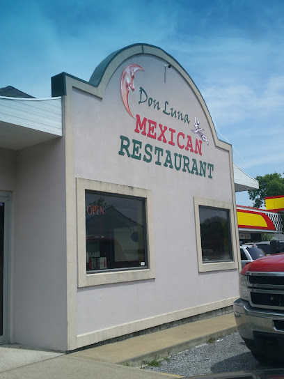
Don Luna
28.4 km
Discover the vibrant flavors of Mexico at Don Luna - where delicious meets affordable in Harrisburg's culinary scene.
Markets, malls and hidden boutiques
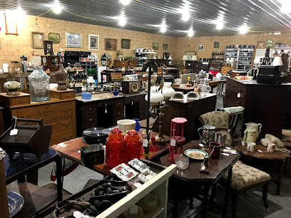
Rose Clare Craft & Antique
20.1 km
Explore unique crafts and antiques at Rose Clare Craft & Antique in Rosiclare, Illinois - a treasure trove of local culture and history.
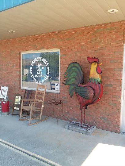
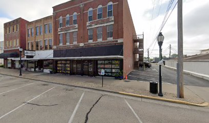
Shawnee Hills Antique Mall
27.5 km
Explore the charm of Shawnee Hills Antique Mall, where timeless treasures and unique collectibles await in Harrisburg, Illinois.
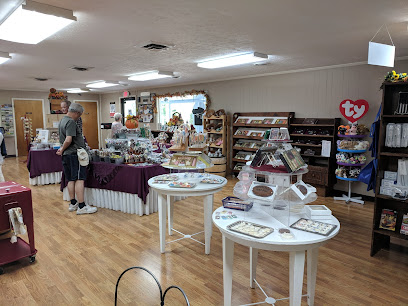
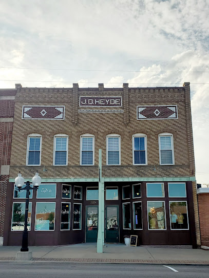
The FACTORY
27.5 km
Experience the charm of Harrisburg at The FACTORY, where local goods meet unique gifts in a welcoming atmosphere.
R61 Resale Boutique
28.1 km
Explore the charm of R61 Resale Boutique in Harrisburg, IL, where every thrifted item tells a story and unique treasures await discovery.
Country Cottage
30.1 km
Discover your creative side at Country Cottage, a charming scrapbooking store in Harrisburg, IL, offering supplies and workshops for all skill levels.
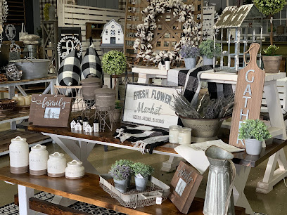
Friendly Farms
30.4 km
Explore Friendly Farms in Eddyville, Illinois, where home goods meet local charm and unique craftsmanship awaits every visitor.
The Big Red Barn
33.0 km
Discover unique antiques and collectibles at The Big Red Barn in Raleigh, Illinois, where history comes alive through timeless treasures.
Shawnee National Forest
36.1 km
Explore the breathtaking landscapes and serene beauty of Shawnee National Forest, a hidden gem in Southern Illinois for outdoor adventures.
Chocolate Factory
42.1 km
Experience the magic of handcrafted chocolates at the Chocolate Factory in Golconda, Illinois - a sweet adventure awaits!
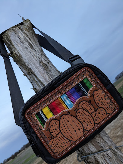
Blue i Leather and Goods
44.1 km
Explore Blue i Leather and Goods in Ozark, IL for exquisite handcrafted leather products and expert repair services, a true leather lover's paradise.
Magpie Market House
57.7 km
Explore the charm of Marion, Illinois, at Magpie Market House, where local craftsmanship meets unique gift shopping.
Wit and Wisdom - Creative Customs
58.9 km
Explore Wit and Wisdom in Marion for custom t-shirts and embroidery services that capture your unique style and memories.
Glacier’s End
58.9 km
Experience the best of local produce and artisanal goods at Glacier's End, a charming grocery store and farm shop in Marion, Illinois.
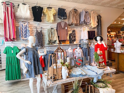
Perfectly Posh Boutique
59.1 km
Explore Perfectly Posh Boutique in Marion, IL for chic clothing and unique home decor, offering a delightful shopping experience for all tastes.
Rainbow Cleaners And Consignment
59.5 km
Explore budget-friendly children's clothing, women's fashion, and unique finds at Rainbow Cleaners And Consignment in Eddyville, Kentucky.
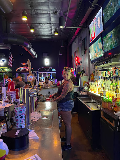
Essential bars & hidden hideouts
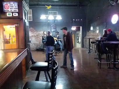
Jacs Place
13.0 km
Discover the charm of Jacs Place, a cozy bar and store nestled in the stunning Shawnee National Forest, perfect for a relaxing retreat.
Layton's Old Town Bar and Grill
16.5 km
Discover the charm of Layton's Old Town Bar and Grill, where delicious food meets vibrant local culture in Shawneetown, Illinois.
E'Town Tap
17.5 km
Experience the local vibe at E'Town Tap, Elizabethtown's favorite bar for craft drinks and a lively atmosphere.
Aces
17.5 km
Experience the vibrant nightlife of Elizabethtown at Aces, your go-to bar for drinks, live music, and unforgettable local vibes.
JoJos Bar
27.0 km
Discover the vibrant nightlife at JoJos Bar, the heart of Harrisburg's social scene, offering great drinks and live music in an inviting atmosphere.
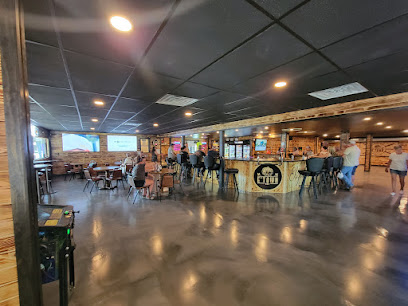
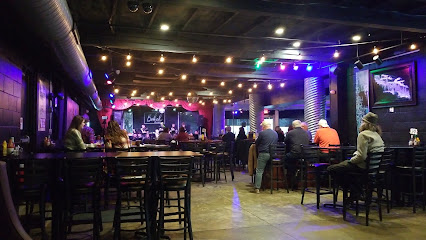
Town Square Pub
27.5 km
Discover the vibrant atmosphere of Town Square Pub in Harrisburg, where local brews, delicious bites, and community spirit come together for an unforgettable experience.
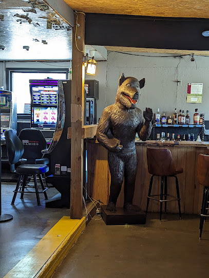
Lusk Creek Liquor and Gaming
32.0 km
Discover Lusk Creek Liquor and Gaming: The perfect blend of delicious grill cuisine and exciting gaming in Golconda, Illinois.
The Levee Lounge
32.0 km
Experience the vibrant flavors of Golconda at The Levee Lounge, a premier grill offering a delightful menu in a cozy setting.
Sullys
49.4 km
Discover the charm of Sully’s, a cozy bar in Creal Springs, IL, where great drinks and friendly faces await you.
Triple E BBQ Lake of Egypt
57.5 km
Discover the authentic Southern barbecue experience at Triple E BBQ Lake of Egypt, where savory flavors meet beautiful lakeside views.
Sunbar
58.1 km
Experience the vibrant nightlife of Vienna at Sunbar, where craft cocktails and a welcoming atmosphere await you.
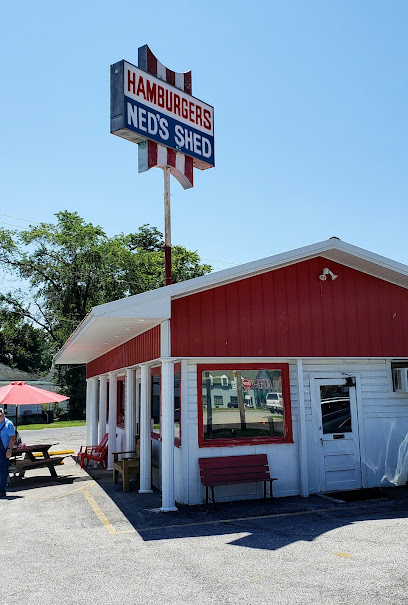
Ned's Shed
58.1 km
Delicious handcrafted hamburgers await at Ned's Shed, a charming eatery in Vienna, Illinois, perfect for burger lovers seeking an unforgettable meal.
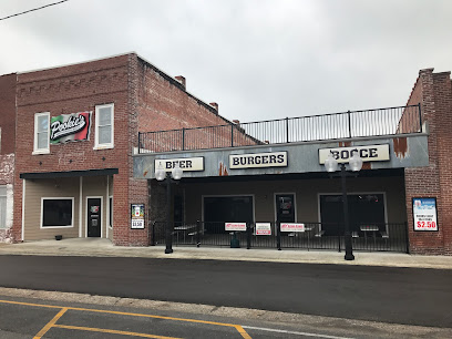
Pookie's Beer, Burgers & Bocce
58.8 km
Experience the best burgers and lively bocce at Pookie's Beer, Burgers & Bocce in Marion, IL—a culinary delight for food lovers and tourists.
John Brown's On the Square
58.8 km
Discover the heart of Marion at John Brown's On the Square, where live music meets great food in a vibrant bar setting.
Southbound Bar & Liquor
58.9 km
Discover the lively spirit of Marion at Southbound Bar & Liquor, a vibrant space perfect for enjoying drinks and local culture.
Nightclubs & after hour spots
Linemen's Lounge
61.9 km
Visit Linemen's Lounge in Johnston City for a friendly bar atmosphere, great drinks, and lively events that capture the essence of local culture.
Elks Lodge #206
66.0 km
Discover Elks Lodge #206 in Henderson, KY - a cozy bar where community spirit thrives and local flavors delight.
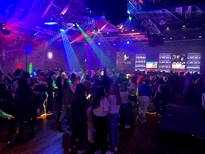
Rumpshakers
66.5 km
Discover the vibrant nightlife at Rumpshakers, Paducah's ultimate night club for dancing, music, and unforgettable experiences.
Showtime
66.5 km
Discover the dynamic nightlife of Showtime, a premier bar in Paducah, Kentucky, perfect for drinks, entertainment, and unforgettable memories.
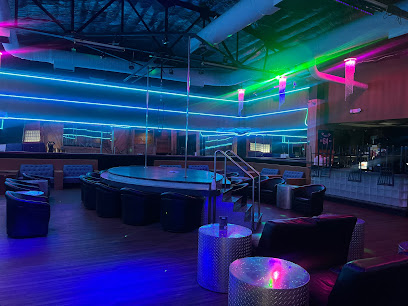
Incognito Gentlemen's Club
66.6 km
Discover the electrifying nightlife at Incognito Gentlemen's Club in Paducah, Kentucky - a premier destination for entertainment and fun.

Rotary Club of Henderson KY
66.7 km
Discover the lively atmosphere of the Rotary Club of Henderson KY, where community spirit meets vibrant nightlife in the heart of Kentucky.
Wings Etc.
69.1 km
Experience the ultimate American dining at Wings Etc. in Henderson, featuring delicious wings, burgers, and a lively sports bar atmosphere.
Night Moves
69.3 km
Discover the vibrant nightlife of Paducah at Night Moves, where great drinks and lively ambiance await every visitor.
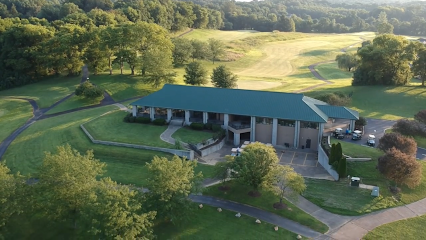
The Bridges Golf Course of Henderson
72.0 km
Experience world-class golfing at The Bridges Golf Course of Henderson, where scenic views meet exceptional dining and relaxation.
THE ATTIC
73.2 km
Discover the vibrant nightlife of The Attic, Evansville's premier night club where music, dance, and fun come together for an unforgettable evening.
Xcess Evansville Strip Club
74.0 km
Experience electrifying nightlife at Xcess Evansville Strip Club, where thrilling performances and a vibrant atmosphere await you in downtown Indiana.
Bokeh Lounge
74.3 km
Discover the vibrant atmosphere of Bokeh Lounge, where delicious grilled dishes meet live music in Evansville's Riverside neighborhood.
Corner Club
74.7 km
Experience the vibrant nightlife of Evansville at The Corner Club, a chic lounge offering creative cocktails and live entertainment in the heart of downtown.
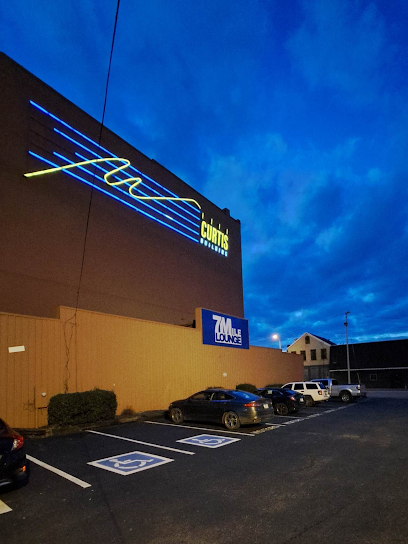
7Mile Lounge
75.1 km
Discover the eclectic nightlife at 7Mile Lounge in Evansville, a hub for live music, comedy, and dancing.
Someplace Else Nightclub
75.2 km
Discover the lively atmosphere and diverse entertainment at Someplace Else Nightclub, Evansville's premier gay nightlife destination.