East Clare Way, County Clare Travel Guide
Discover the East Clare Way: A scenic 172km loop through Ireland's heartland, offering stunning landscapes and historical sites.
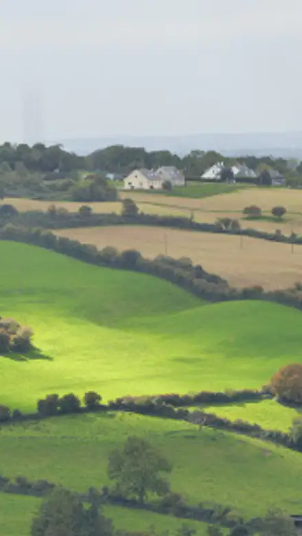
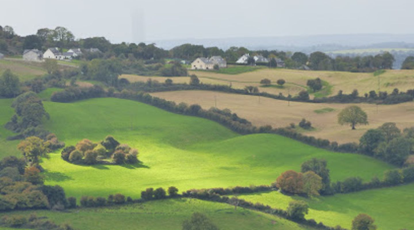
The East Clare Way is a 172km circular hiking trail that winds through the diverse landscapes of County Clare, Ireland. This trail offers a mix of terrains, from mountains and lakelands to boglands, providing a rewarding experience for both seasoned hikers and casual walkers.
A brief summary to East Clare Way
- Lissane, Co. Clare, IE

Know before you go
Hi, I'm Eve. Here are a few practical things to know before exploring East Clare Way.
- Wear sturdy hiking boots, as the terrain can be uneven and muddy, especially in off-road sections.
- Bring appropriate rain gear, as the Irish weather can be unpredictable.
- Plan your hike over several days, taking advantage of the charming villages and guesthouses along the route for overnight stays.
- Utilize the HiiKER app for detailed maps and navigation assistance.
- Check the bus schedule in advance if relying on public transportation to reach trailheads.
Do you manage this location?
Take control to get all the benefits, like improved information, better appearance, and stronger visibility across AI-powered discovery. Learn more about listing your business on Evendo
Activate your presenceOther nearby places you may find interesting
The closest places of the same kind, if this one is not quite what you had in mind.
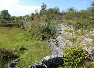
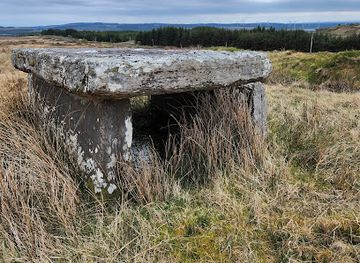
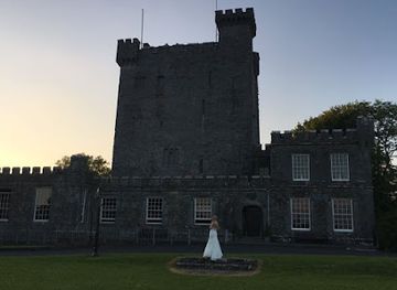
Explore East Clare Way on the Map
A handpicked selection of must-see spots near East Clare Way, mapped for you.
Getting There
-
Public Transport
To reach the East Clare Way using public transport, begin by taking a Bus Éireann service to one of the towns along the route, such as Killaloe or Tulla. From Ennis, Bus Éireann provides services to several towns near the East Clare Way. For example, the 345 bus route stops near the East Clare Way in Killaloe. A single fare for a short trip typically costs around €3-€5. Check the Bus Éireann website or app for the most up-to-date schedules and fare information.
-
Driving
If driving to the East Clare Way, several trailheads offer free parking. For instance, Killaloe has a car park near the bridge. From Limerick, take the R463 to Killaloe, which is approximately 28km away. From Ennis, the R352 will take you to Tulla, about 16km away. Parking is free at the trailheads. Note that some road sections along the East Clare Way carry fast traffic, so exercise caution.
-
Walking
If you are already in one of the towns along the East Clare Way, such as Killaloe, Tulla, or Feakle, you can easily access the trail on foot. Follow the yellow arrows on a black background, which mark the route. The trail is well-signposted, making it easy to navigate. Be aware that some sections off-road can be wet and muddy, so wear appropriate footwear.
Discover more about East Clare Way













Your all‑in‑one travel companion app
Explore expert travel guides, compare and book tours, experiences, hotels, and more—all from the palm of your hand. Download now for seamless trip planning wherever your wanderlust takes you.


Explore More of County Clare
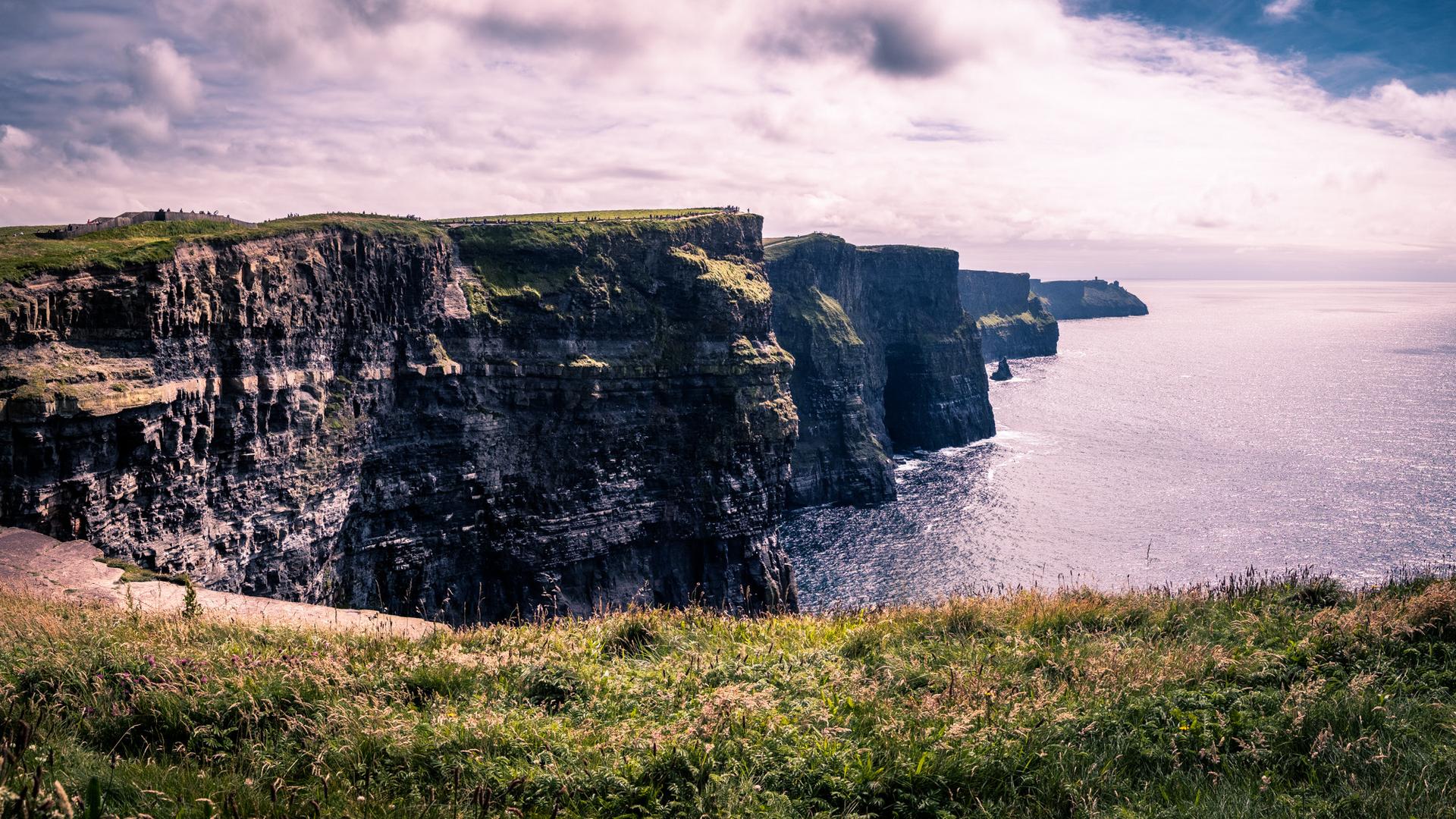
Looking beyond East Clare Way? Discover County Clare for broader travel guides, local hot-spots, and regional highlights.
Explore County Clare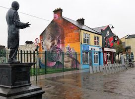
Explore the rich literary heritage of Michael Hogan, the Bard of Thomond, in Limerick - a must-visit historical landmark for culture enthusiasts.

Explore County Clare's hidden gems with guided walking tours, discovering scenic landscapes, rich history, and abundant wildlife in East Clare.