From Eve
Know before you go
Hi, I'm Eve. Here are a few practical things to know before exploring Donegal Corridor.
Local know-how to help you travel smarter and make the most of every moment.

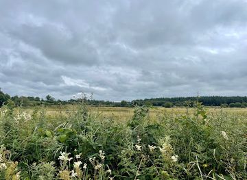
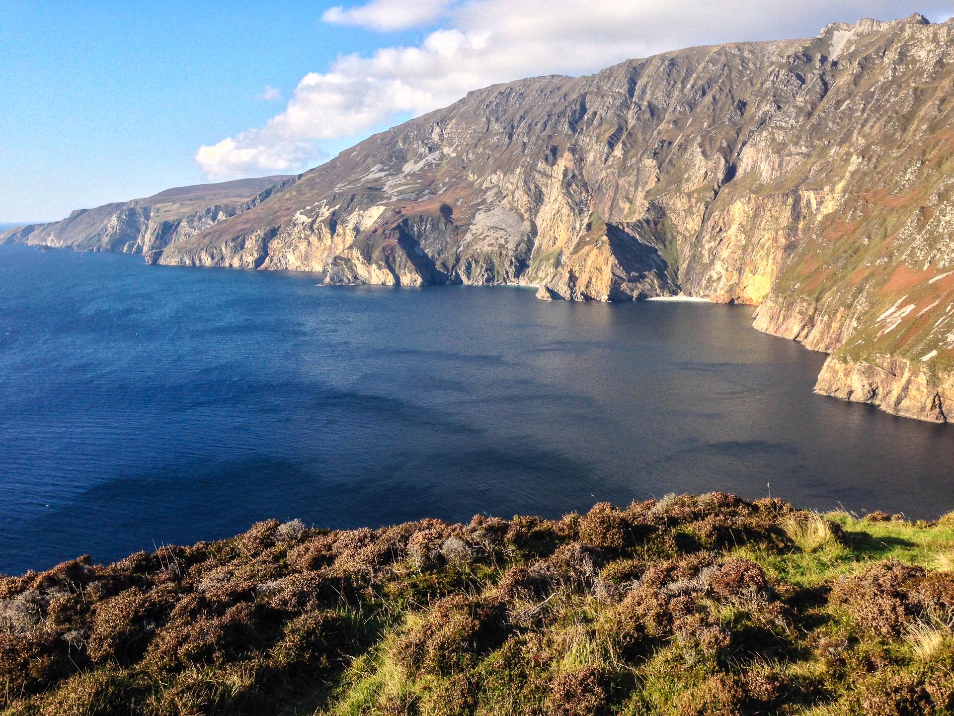
Explore the scenic Donegal Corridor near Ballyshannon, where Irish neutrality secretly aided the Allies during World War II.
The Donegal Corridor, near Ballyshannon, Co. Donegal, is a historically significant area along the River Erne. During World War II, this narrow strip of Irish airspace allowed British military aircraft to fly between Lough Erne and the Atlantic Ocean, a controversial breach of Irish neutrality. Today, it's a place of quiet beauty where you can reflect on a pivotal moment in history.
Opening times, essentials, and a few local tips gathered into one calmer, easier-to-scan planning section.
Hi, I'm Eve. Here are a few practical things to know before exploring Donegal Corridor.
Local know-how to help you travel smarter and make the most of every moment.
Public Transport
From Ballyshannon Bus Station, the Donegal Corridor area along the River Erne is accessible via local bus services. Bus Éireann routes 30 and 64 connect Ballyshannon with surrounding towns. From the bus station, it's a short walk to the River Erne. A single fare on Bus Éireann within the region typically costs €3-€6.
Taxi
Taxis are available in Ballyshannon and can provide direct access to various points along the Donegal Corridor. A taxi from Ballyshannon town center to a location along the River Erne within a few kilometers typically costs €10-€15. Uber is also available in Ballyshannon.
Walking
From the center of Ballyshannon, the River Erne and the Donegal Corridor area are easily accessible on foot. Walking along the river provides scenic views and access to historical points of interest. The walk from the town center to the riverbanks is generally flat and takes about 5-10 minutes.
Use Donegal Corridor as your starting point for nearby food, family ideas, nightlife, and more local discoveries.

Explore expert travel guides, compare and book tours, experiences, hotels, and more—all from the palm of your hand. Download now for seamless trip planning wherever your wanderlust takes you.
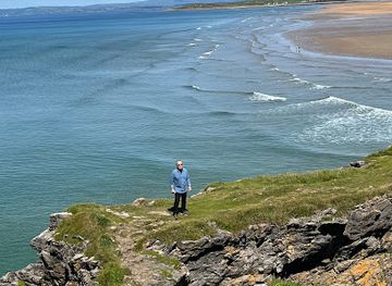
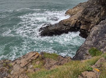
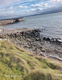
Experience the wild and unspoiled beauty of County Donegal, Ireland's hidden gem, where rugged landscapes, rich history, and vibrant culture await.
Tell me more about County Donegal