

City Center (Jerusalem) Travel Guide - Free
Explore City Center in Jerusalem with Evendo's free guide. Find the best shops, historic streets, restaurants, and gems on web or mobile.


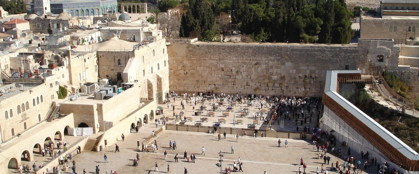


Explore Jerusalem City Center for pedestrian streets, historic stone buildings, cafés, markets, the light rail and easy access to the Old City.
Between Jaffa Road and Zion Square
Jerusalem’s City Center is the modern downtown district gathered around Jaffa Road, Ben Yehuda Street, Zion Square and the streets descending towards the Old City. It is not a formally bounded neighbourhood in the same way as Jerusalem’s historic quarters, but a familiar local area where old stone buildings, public transport, cafés, shops and pedestrian promenades form the city’s busiest central meeting point. The district is a practical base for exploring Jerusalem, while also rewarding slower attention to its own streets and institutions.Read more about City Center
Urban History in Stone
Pedestrian Streets and Everyday Jerusalem
Explore City Center on the map
A handpicked selection of must-see spots in City Center, mapped for you.
Best hotels in City Center
City Center essentials
Getting There
Getting Around
Safety
Emergency Situations
Do's and Don'ts
Local Tips

From Eve
Local phrases worth knowing
You don't need to get them perfect. A few words go a long way, and locals appreciate the effort.
Basics
| English | Local | Say it |
|---|---|---|
| Hello | שָׁלוֹם | [shalom] |
| Goodbye | לְהִתְרָאוֹת | [lehitraot] |
| Yes | כֵּן | [ken] |
| No | לֹא | [lo] |
| Please/You're welcome | בבקשה | [bevakasha] |
| Thank you | תודה | [toda] |
| Excuse me/Sorry | סליחה | [slicha] |
| How are you? | איך אתה? | [ech ata?] |
| Fine. And you? | טוב. ואתה? | [tov. ve'ata?] |
| Do you speak English? | אתה מדבר אנגלית? | [ata medaber anglit?] |
| I don't understand | אני לא מבין | [ani lo mevin] |
Eating & Drinking
| English | Local | Say it |
|---|---|---|
| I'd like to see the menu, please | אני רוצה לראות את התפריט, בבקשה | [ani rotse lir'ot et hataprit, bevakasha] |
| I don't eat meat | אני לא אוכל בשר | [ani lo ochel basar] |
| Cheers! | לְחַיִים! | [lechayim!] |
| I would like to pay, please | אני רוצה לשלם, בבקשה | [ani rotse lishlem, bevakasha] |
Emergencies
| English | Local | Say it |
|---|---|---|
| Help! | עזרה! | [ezra!] |
| Go away! | לך הלאה! | [lech hala'a!] |
| Call the Police! | קרא למשטרה! | [kra lemishtara!] |
| Call a doctor! | קרא לרופא! | [kra larofe!] |
| I'm lost | אני אבוד | [ani avud] |
| I'm ill | אני חולה | [ani holeh] |
Shopping
| English | Local | Say it |
|---|---|---|
| I'd like to buy... | אני רוצה לקנות... | [ani rotse liknot...] |
| I'm just looking | אני רק מסתכל | [ani rak mistakel] |
| How much is it? | כמה זה עולה? | [kama ze ole?] |
| That's too expensive | זה יקר מדי | [ze yakar midei] |
| Can you lower the price? | אתה יכול להוריד את המחיר? | [ata yachol lehorid et hamechir?] |
Time & Numbers
| English | Local | Say it |
|---|---|---|
| What time is it? | כמה השעה? | [kama hasha'a?] |
| It's one o'clock | השעה אחת | [hasha'a achat] |
| Half past (10) | חצי (עשר) | [chatzi (eser)] |
| Morning | בוקר | [boker] |
| Afternoon | צהריים | [tzohorayim] |
| Evening | ערב | [erev] |
| Yesterday | אתמול | [temol] |
| Today | היום | [hayom] |
| Tomorrow | מחר | [machar] |
| 1 | אחת | [achat] |
| 2 | שתיים | [shtayim] |
| 3 | שלוש | [shlosh] |
| 4 | ארבע | [arba] |
| 5 | חמש | [chamesh] |
| 6 | שש | [shesh] |
| 7 | שבע | [sheva] |
| 8 | שמונה | [shmone] |
| 9 | תשע | [tesha] |
| 10 | עשר | [eser] |
Transport & Directions
| English | Local | Say it |
|---|---|---|
| Where's a/the...? | איפה נמצא/יש... | [eifo nimtza/yesh...] |
| What's the address? | מה הכתובת? | [ma hakatavat?] |
| Can you show me (on the map)? | אתה יכול להראות לי (על המפה)? | [ata yachol leharot li (al hamapa)?] |
| When's the next (bus)? | מתי האוטובוס הבא? | [matay haotobus haba?] |
| A ticket (to ....) | כרטיס (אל...) | [kartis (el...)] |
History of City Center
Expansion Beyond the Old City Walls
For centuries, Jerusalem’s principal urban life was concentrated within the Old City walls, but the nineteenth century brought sustained development beyond them. Roads, religious compounds, public institutions and new residential areas gradually extended the city westwards. The land that later became the City Center acquired importance because it lay on the route between the Old City and the western approaches, while Jaffa Road developed as a major connection towards the port of Jaffa. The Russian Compound, established in the 1860s beyond the walls, is one of the clearest surviving reminders of this phase of expansion and helped anchor public and institutional development in the area.
Jaffa Road and Mandate-Era Growth
Under the British Mandate, Jerusalem’s population, administration and commercial activity expanded, and the central area became increasingly urban in character. Jaffa Road served as a principal thoroughfare, lined with shops, offices, hotels and transport connections. Commercial buildings and apartment blocks appeared alongside earlier stone structures, creating the mixed architectural texture still visible around the downtown streets. The central district also became a setting for civic administration and public life, linking the historic city with newer neighbourhoods to the west. Its importance derived less from a single monument than from the concentration of movement, commerce and institutions along a small network of streets.
A Commercial Downtown Takes Shape
After the establishment of the State of Israel in 1948, Jerusalem’s City Center continued to function as a commercial and civic focus. Ben Yehuda Street and Zion Square became familiar meeting places, while cafés, cinemas, banks, hotels and independent shops supported a busy downtown economy. The central streets also hosted demonstrations, celebrations and everyday encounters among residents and visitors. Over time, changes in retail patterns and the growth of newer commercial areas altered the district’s role, but its pedestrian core retained a strong social importance. The survival of older stone façades beside later buildings reflects the successive layers of Jerusalem’s modern development.
Pedestrianisation and the Light Rail Era
The late twentieth and early twenty-first centuries brought major changes to how the district was used. Ben Yehuda Street and adjoining streets became increasingly associated with pedestrian movement, outdoor seating and informal public life, while Jaffa Road was remodelled for the Jerusalem light rail, which began operating in 2011. The rail system strengthened connections between the downtown area, the Central Bus Station and the Old City vicinity, while also changing the appearance and movement patterns of Jaffa Road. Today, City Center remains a mixed-use district where tourism, local shopping, public transport and residential life overlap, with redevelopment continuing around older buildings and historic compounds.
City Center in Photos
Browse through our photo collection highlighting the charm and character of the destination.
Neighbourhoods near City Center
The closest neighbourhoods to City Center, if you have time for more than one stop.
-

-

-


Swipe for more neighbourhoods
Explore more
Explore more of Jerusalem
Jerusalem blends ancient walls, sacred landmarks, vibrant markets and layered history with museums, neighbourhoods and memorable cultural experiences.
Explore Jerusalem