Background

Mt. Sumon: A Hiker's Haven

Hike to the summit of Mt. Sumon in Niigata, Japan, for stunning views and a rewarding outdoor experience in the Echigo Mountain Range.

★★★★★4.3 (52)

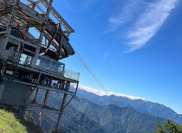
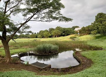
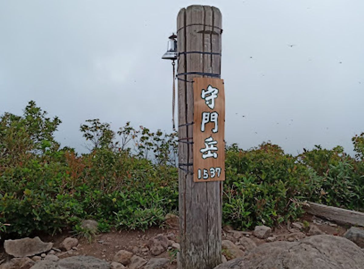
Mt. Sumon, rising 1,537 meters in Niigata Prefecture, Japan, is a popular hiking destination within the Echigo Mountain Range. Known as Sumondake, it attracts numerous hiking groups annually.

Plan your visit

A brief summary to Mt. Sumon

Opening times, essentials, and a few local tips gathered into one calmer, easier-to-scan planning section.

Plan your visit

📍
Yoshigahira, Sanjo, Yoshigahira, Niigata, JP

Explore places near Mt. Sumon

    See all →

    Unlock the Best of Mt. Sumon

    Find tickets, tours with entry, and experiences available for this location.

    Buy tickets

    No tickets available

    Book tours with entry

    No tours with entry available

    Book tours without entry

    No tours without entry available

    Getting There

    Driving

    From Sanjo city, take Route 289 towards Yoshigahira. Follow the signs for Mt. Sumon. Parking is available at the main trailheads. Note that parking may be limited during peak season.

    Public Transport

    From Sanjo Station, take a local bus towards Yoshigahira. Alight at the bus stop closest to the Mt. Sumon trailhead. Check local bus schedules for accurate timings. A single bus fare costs approximately ¥500.

    Walking

    From Yoshigahira, follow the signs towards Mt. Sumon. The trailheads are well-marked. Be prepared for a steep incline as you approach the mountain. There are no costs associated with walking to the mountain.

    Local tips

    Check the weather forecast before you go, as mountain conditions can change rapidly.
    Wear appropriate hiking shoes and clothing for a comfortable and safe climb.
    Bring plenty of water and snacks, as there are no facilities on the mountain.

    Discover more about Mt. Sumon

    Mt. Sumon (Sumondake) is a prominent mountain peak in Niigata Prefecture, Japan, offering a rewarding hiking experience for outdoor enthusiasts. Rising to an elevation of 1,537.2 meters (5,043 feet) within the Echigo Mountain Range, it presents diverse vegetation patterns across its slopes.The mountain's geological formation dates back millions of years, shaped by tectonic movements. The name 'Sumondake' reflects local traditions, with hiking groups making annual pilgrimages to its peak.Visitors can access Mt. Sumon via established trails from multiple entry points, with parking areas available at the main trailheads. The mountain's latitude and longitude create microclimates that support rare plant species unique to this region.

    A brief summary to Mt. Sumon

    Use Mt. Sumon as your starting point for nearby food, family ideas, nightlife, and more local discoveries.

    Mobile App
    Get the app

    Your all‑in‑one travel companion app

    Explore expert travel guides, compare and book tours, experiences, hotels, and more—all from the palm of your hand. Download now for seamless trip planning wherever your wanderlust takes you.

    File:Echigo Tsumari Art Field Tokamachi For Lots of Lost Windows  May2022.jpg - Wikimedia Commons

    More about Echigo

    Discover Echigo: A serene blend of stunning landscapes, rich culture, and delicious cuisine in the heart of Japan's Niigata Prefecture.

    Tell me more about Echigo

    Select Currency

    Choose the currency you want prices to display in.