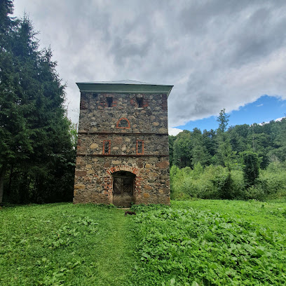
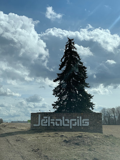
Discover the Strūves Geodetic Arc Point in Jēkabpils
Explore the Strūves Geodetic Arc Point in Jēkabpils, a UNESCO World Heritage site celebrating 19th-century geodesy and stunning natural beauty.
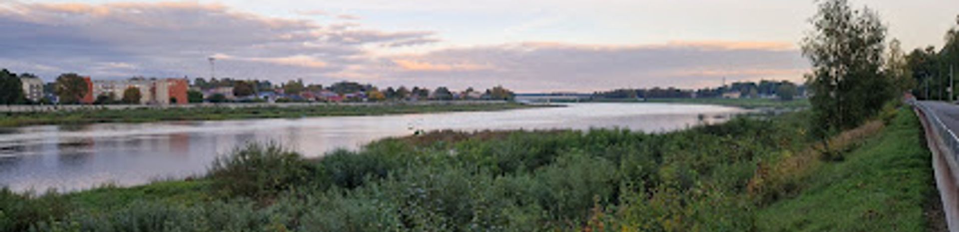
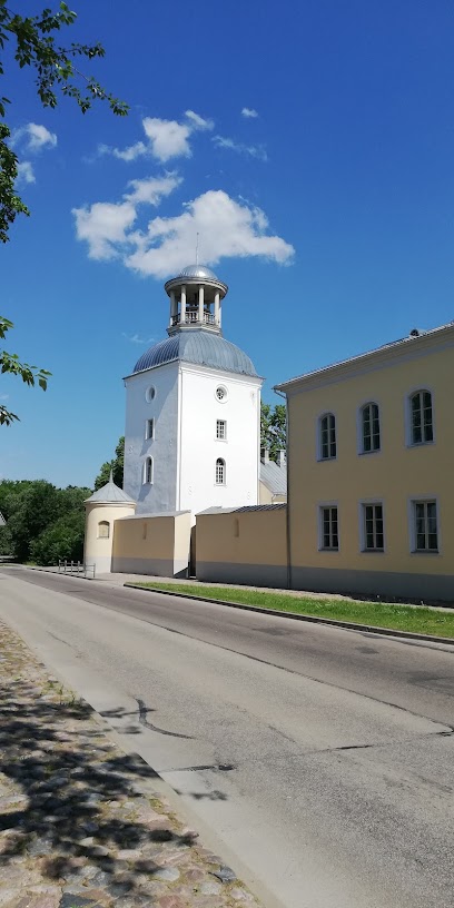
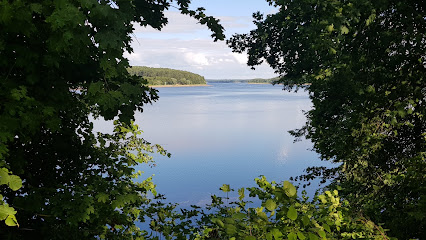
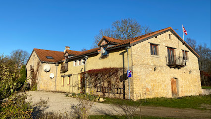
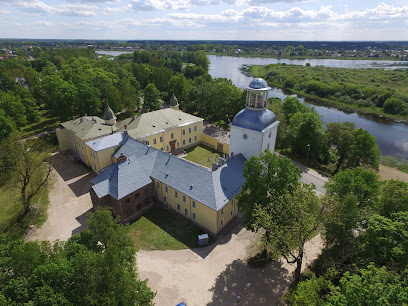
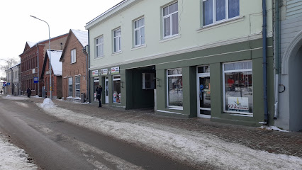
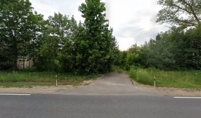
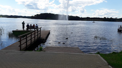
The Strūves Geodetic Arc Point in Jēkabpils is a UNESCO World Heritage site that showcases the historical significance of geodesy and offers a fascinating glimpse into the scientific achievements of the 19th century. Visitors can explore this unique landmark, which is part of a chain of survey points stretching across several countries, and take in the beautiful surrounding landscapes. A perfect stop for history enthusiasts and nature lovers alike!
A brief summary to Strūves ģeodēziskā loka punkts “Jēkabpils”
- Vilhelma Strūves iela, Jekabpils, 5201, LV
- Visit website
- Monday 12 am-12 am
- Tuesday 12 am-12 am
- Wednesday 12 am-12 am
- Thursday 12 am-12 am
- Friday 12 am-12 am
- Saturday 12 am-12 am
- Sunday 12 am-12 am
Local tips
- Visit early in the day for a quieter experience and better lighting for photography.
- Take time to read the informative signs around the monument to fully appreciate its significance.
- Bring comfortable walking shoes, as the surrounding area offers lovely paths for exploration.
- Don't forget your camera to capture the stunning views of the Latvian landscape.
- Check local weather conditions before your visit to ensure the best experience.
Getting There
-
Car
If you're driving from anywhere in Selonia, head towards Jēkabpils. Use the main road A6 (E22) heading south. Once you reach Jēkabpils, follow the signs to the city center. When you get to Vilhelma Strūves iela, turn onto this street. The Strūves ģeodēziskā loka punkts 'Jēkabpils' will be located at the coordinates 56.5015426, 25.8567242. There is free parking available nearby.
-
Public Transportation
To reach Jēkabpils via public transport, take a bus from major towns in Selonia to Jēkabpils. Bus schedules are available at local bus stations. Once you arrive at the Jēkabpils bus station, exit the station and head towards Vilhelma Strūves iela. It's approximately a 15-minute walk. You can follow the signs to the center of town, then continue onto Vilhelma Strūves iela where the geodetic point is located. Please check local bus schedules for the cost of the ticket, which typically ranges from €2 to €5 depending on the distance.
Discover more about Strūves ģeodēziskā loka punkts “Jēkabpils”
Iconic landmarks you can’t miss
Strūves meridiāna loka ģeodēziskais punkts "Kreutzburg"
1.1 km
Explore a UNESCO World Heritage Site in Jēkabpils, Latvia, and discover the history of 19th-century geodetic science at the Struve Geodetic Arc.
Vīgantes parks
23.5 km
Discover Vīgantes Parks: A historical sanctuary where nature and culture intertwine on the banks of the Daugava River.
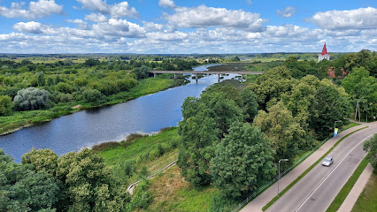
Two Rivers
31.4 km
Experience tranquil riverside charm at Divas Upes, near Koknese, Latvia. Enjoy Italian-inspired comfort and explore the region's natural beauty.
Former Ērgļi railway station
46.0 km
Explore Latvian railway history at the beautifully restored Ērgļi Station, now a museum and restaurant offering a unique cultural experience.
Dabas Studija Teiči
48.9 km
Escape to a modern holiday home near Teiči Nature Reserve, Latvia, offering comfort and natural beauty in Varakļāni Parish.

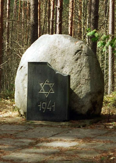
Aizupieši Forest, Memorial Site for 1941 Jewish Victims
58.5 km
Reflect on history at Aizupieši Forest, a memorial site honoring Jewish victims of 1941 in a serene Latvian forest.
*Trušu Karaliste* Lēdmanes Atpūtas Dabas Parks
59.7 km
Discover a fairytale world at Trušu Karaliste, Lēdmane: friendly animals, scenic nature, and unforgettable family fun await!
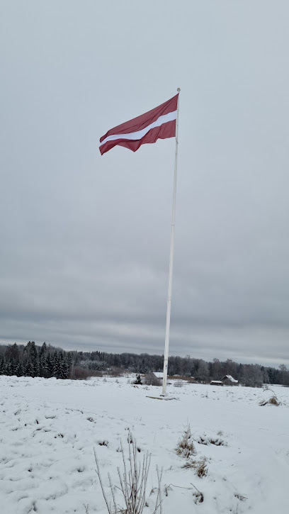
Flag of Latvia
61.3 km
Discover Latvian pride and history at the Flag of Latvia Park in Zaube, a serene escape in Cēsis Municipality.
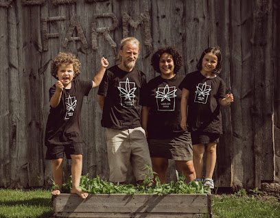
Obelisk Farm
61.3 km
Discover the versatility of hemp at Obelisk Farm, featuring guided tours, workshops, and the Baltics' only Hemp Museum in rural Latvia.
maza siguldina
63.7 km
Discover Latvia's 'Little Sigulda': Hiking trails, natural beauty, and historical echoes in Pilskalne's enchanting landscape.
Svente (Jaunsvente) Manor
73.9 km
Explore the historic Svente Manor in Latvia, a charming inn and restaurant with a fascinating war museum, perfect for a unique cultural experience.
Aukštakalniai
76.1 km
Experience the tranquil charm of Aukštakalniai, a hidden gem in the Rokiškis District, perfect for a scenic stop during your Lithuanian travels.
JuRita mini Zoo
77.1 km
Experience a charming animal encounter at JuRita Mini Zoo, where families can connect with a variety of friendly creatures in a serene Latvian setting.
Stelmužės ąžuolas
77.9 km
Discover the Stelmužė Oak, Lithuania's ancient natural marvel, surrounded by serene landscapes and rich cultural heritage, perfect for nature lovers and explorers.
Nicholas Gate
79.3 km
Explore the Nicholas Gate in Daugavpils Fortress: Where history comes alive with exhibits, souvenirs, and a unique bat center experience.
Unmissable attractions to see
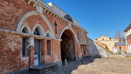
Krustpils Castle
1.1 km
Discover the historical elegance and engaging exhibits of Krustpils Castle in Jekabpils, Latvia, where the past meets interactive learning.
Jēkabpils History Museum
1.1 km
Discover the captivating stories of Jēkabpils at the Jēkabpils History Museum, where history comes alive through engaging exhibits and rich artifacts.
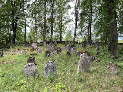
Old Jewish cemetery
1.5 km
Explore the Old Jewish Cemetery in Jēkabpils, a serene memorial steeped in history and cultural heritage, perfect for reflection and remembrance.
Memorial Site of 1941 Jewish Victims
3.0 km
Discover the poignant Memorial Site of 1941 Jewish Victims in Ābeči, a historical landmark honoring the resilience of the Jewish community during the Holocaust.
Krustpils Municipality, Mantukalns, Latvia
3.9 km
Discover the enchanting historical landscapes of Krustpils Municipality, Mantukalns, where Latvian culture and nature beautifully intertwine.
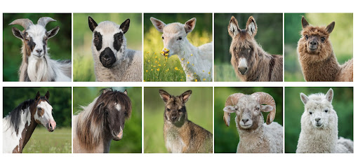
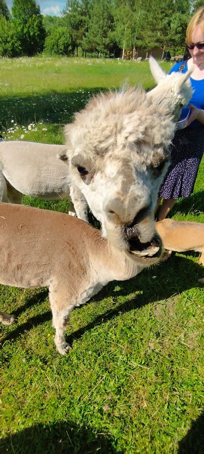
SAULES ALPAKAS
12.6 km
Experience the charm of Saules Alpakas in Kūkā Parish, where gentle alpacas welcome you to a serene journey through the Latvian countryside.
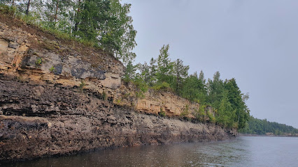
Kraukļu klintis
17.0 km
Explore the breathtaking Kraukļu Klintis, a stunning sandstone cliff formation in Latvia's Klintaine Parish, perfect for nature lovers and photography.
Atpūtas komplekss "Mežezers"
19.6 km
Explore the breathtaking beauty and recreational activities at Atpūtas komplekss Mežezers, a premier ski resort in Latvia's serene countryside.
Kalsnavas arborētums
21.3 km
Explore Kalsnavas Arborētums, a botanical garden in Latvia showcasing diverse plants and offering a peaceful retreat for nature lovers and families alike.

Park of Latvian Folk Signs
21.7 km
Explore the Park of Latvian Folk Signs, a unique cultural landmark in Leimaņi showcasing Latvia's rich folklore through captivating wooden sculptures.
Leimani Culture House
21.7 km
Experience the vibrant traditions and arts at Leimani Culture House, a cultural center in Latvia that celebrates local heritage and community spirit.
Līvāni Municipality, the Steķi Pine Forest, Memorial Site of 1941 Jewish Victims, Latvia
25.5 km
Discover the Steķi Pine Forest, a serene memorial site in Līvāni, Latvia, dedicated to the Jewish victims of 1941 amidst nature's tranquility.
Sēlija, Muzejs
25.6 km
Explore the rich heritage of Latvia at Sēlija Museum in Viesīte, showcasing local history and culture through engaging exhibits.
Odziena Manor
25.7 km
Explore the enchanting Odziena Manor, a historic gem in Latvia offering stunning architecture, lush gardens, and a glimpse into local heritage.
Viesīte Municipality, Viesīte, Memorial Site of 1941 Jewish Victims, Latvia
25.9 km
Explore the Viesīte Memorial Site, a poignant tribute to the Jewish victims of 1941, nestled in Latvia's serene landscape.
Essential places to dine
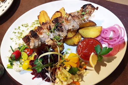
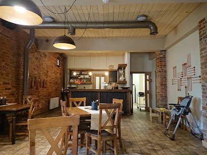
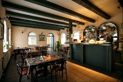
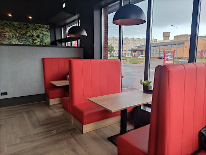
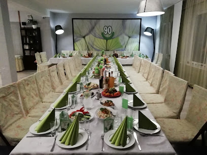
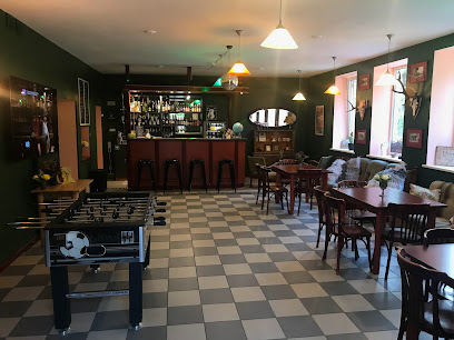
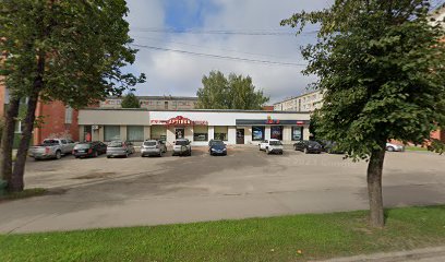
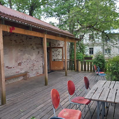
Bistro "Vecpilsēta"
0.8 km
Experience authentic Latvian cuisine at Bistro 'Vecpilsēta' in Jēkabpils - where local flavors meet cozy ambiance.
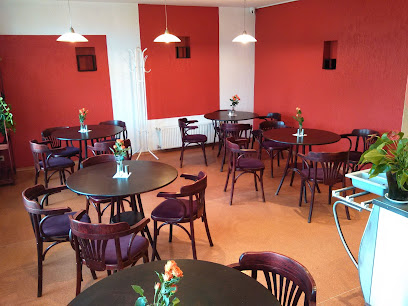
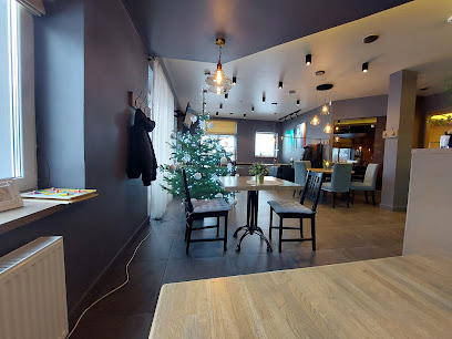
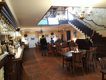
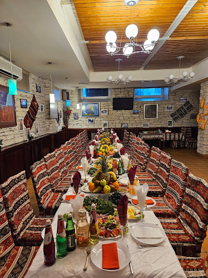
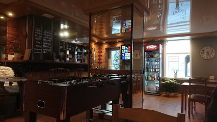
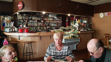
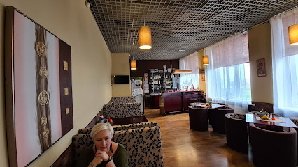
Lūšu krogs
0.9 km
Discover Lūšu krogs in Jēkabpils: A cozy coffee shop and bar offering delicious food and drinks in a welcoming atmosphere.
Velniņi
19.0 km
Experience authentic Latvian cuisine at Velniņi Bistro in Klintaine Parish, where local flavors meet stunning landscapes.
Picas Namiņš
25.3 km
Experience authentic Italian pizza at Picas Namiņš in Viesīte, Latvia – where every slice tells a story.
Rūdolfs, Krodziņš
30.7 km
Discover authentic Latvian flavors at Rūdolfs, Krodziņš - where local ingredients meet warm hospitality in Koknese.
Panna Cafe
31.4 km
Experience the charm of Koknese at Panna Cafe – where local flavors meet cozy ambiance.
Lobes krogs , viesu nams
61.6 km
Discover authentic Latvian cuisine at Lobes Krogs in Lēdmane, where tradition meets taste amidst serene countryside views.
Kannas , restorans
66.6 km
Discover the flavors of Latvia at Kannas Restaurant in Zaube parish—where culinary artistry meets warm hospitality.
Oškrogs
76.6 km
Experience authentic Latvian cuisine at Oškrogs - where tradition meets modern dining in an idyllic setting.
Beer Route
77.1 km
Discover Lithuania's brewing heritage on the Beer Route in Biržai – a delightful journey through flavors and traditions.
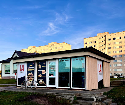
LA KEBABS
78.5 km
Experience authentic kebabs bursting with flavor at LA KEBABS in Daugavpils - where every bite tells a delicious story.
WOW Kebab, bistro Daugavpils
79.6 km
Savor authentic Latvian street food at WOW Kebab in Daugavpils—delicious kebabs await you!
One star
79.8 km
Experience quick bites at One Star in Daugavpils - where flavor meets convenience in a vibrant setting.
Grill by Mechman / Daugavpils
80.1 km
Experience authentic Latvian flavors at Grill by Mechman in Daugavpils – where every meal is a celebration of local cuisine.
Dakota Restaurant
80.1 km
Discover authentic Latvian cuisine at Dakota Restaurant in Ciemupe – where local flavors meet warm hospitality.
Markets, malls and hidden boutiques
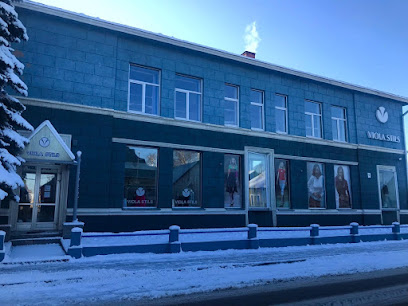
Viola-Stils
0.6 km
Discover the charm of handcrafted knitwear at Viola-Stils in Jēkabpils, where tradition meets artistry in every stitch.
Mimoza, Ziedu salons
0.7 km
Discover the enchanting floral designs and unique gifts at Mimoza, Ziedu salons in Jēkabpils, a must-visit for flower lovers and gift seekers.
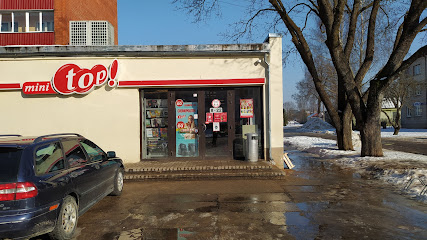
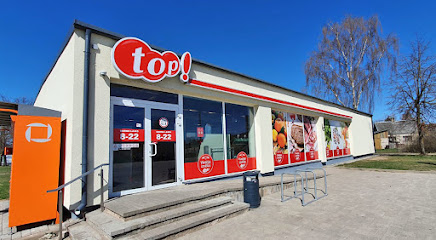
mini top!
0.9 km
Explore local flavors and culinary delights at Mini Top! - your go-to grocery store in Jēkabpils.
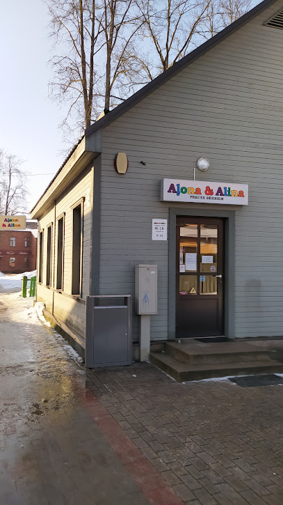
Alona & Alina
0.9 km
Explore Alona & Alina in Jēkabpils for a unique shopping experience, featuring local fashion trends and quality craftsmanship.
Skarleta , veikals
1.2 km
Discover fashion at Skarleta, where Jēkabpils' style meets your unique taste in clothing and accessories.
Zile , veikals
1.2 km
Discover the charm of Zile, a bustling shopping mall in Jēkabpils, Latvia, offering unique finds and a taste of local culture.
Prezents
1.3 km
Explore Prezents in Jēkabpils, a delightful gift shop offering unique souvenirs and local artistry for every traveler.

sheilla.lv sieviešu apģērbu internetveikals
1.4 km
Shop the latest women's fashion trends at Sheilla.lv in Jēkabpils – where style meets comfort in every piece.

ZEROSPORT - sporta preču outlet Jēkabpilī
1.4 km
Explore ZEROSPORT in Jēkabpils for quality sporting goods and stylish sportswear, perfect for all your outdoor adventures.
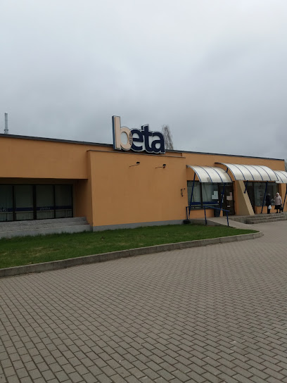
Beta
1.5 km
Discover the local flavors of Jēkabpils at Beta Grocery Store, your gateway to fresh produce and authentic Latvian delicacies.
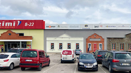
Shopping center "Sēlija"
1.5 km
Explore Shopping Center 'Sēlija' in Jēkabpils, your one-stop destination for shopping, dining, and entertainment in a vibrant atmosphere.
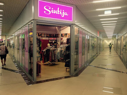
Apakšveļas veikals "Sintija"
1.5 km
Explore exquisite lingerie at Apakšveļas veikals 'Sintija' in Jēkabpils, where elegance meets comfort for every occasion.
top!
1.5 km
Discover local flavors and everyday essentials at Top! Grocery Store in Jēkabpils – your one-stop shop for authentic Latvian goodies.
zivju veikals,zivju baze
1.6 km
Explore Jēkabpils Fish Market for the freshest local seafood and an authentic taste of Latvian culinary traditions.
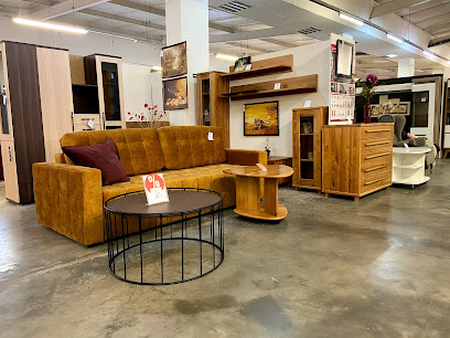
Labas Mēbeles
1.7 km
Explore Labas Mēbeles in Jēkabpils for unique, stylish furniture that reflects Latvian craftsmanship and design.
Essential bars & hidden hideouts
Piciņa
0.8 km
Discover the cozy charm of Piciņa in Jēkabpils, where local flavors and international drinks create the perfect retreat for every traveler.
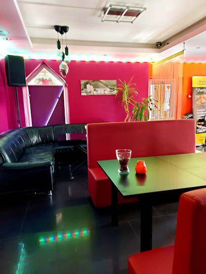
Jumprava, kafejnīca-bārs
0.8 km
Discover Jumprava, the charming café and bar in Jēkabpils, offering delicious local flavors and a cozy atmosphere for all visitors.
Jekavpila
1.9 km
Experience the vibrant nightlife of Jekabpils at Jekavpila Bar, where great drinks and friendly faces await you!
Oāze
2.3 km
Discover Oāze in Jēkabpils: a vibrant bar and restaurant offering local cuisine, live music, and a warm atmosphere for all visitors.
KRUSTPILS
3.8 km
Experience the lively spirit of KRUSTPILS, a delightful bar in Brodi serving an extensive selection of beverages in a cozy and welcoming atmosphere.
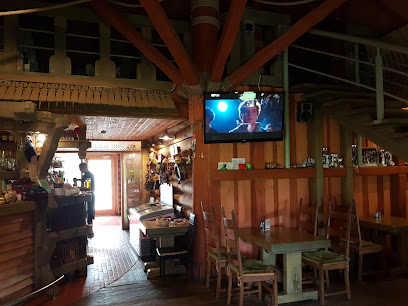
Klaukavas krogs
14.8 km
Discover Klaukavas Krogs, a charming pub in Vīpe Parish, where authentic Latvian flavors and warm hospitality await you.
Savija, Kafejnīca
15.3 km
Discover Savija, Kafejnīca in Pļaviņas: a cozy café and bar offering delicious drinks and snacks in a welcoming atmosphere.
Saulīte
25.6 km
Experience the charm of Saulīte in Līvāni, where local flavors and welcoming vibes create the perfect spot for relaxation.
azukrogs.lv
25.6 km
Discover Azukrogs, an enchanting bar in Viesīte offering a vibrant atmosphere and a delightful selection of local beverages for every traveler.
Joker sporta bārs un spēļu zāle Līvānos
25.9 km
Discover Joker Sports Bar and Gaming Hall in Līvāni for an unforgettable night of fun, gaming, and socializing with locals and fellow travelers.
Krasta krogs
38.9 km
Discover Krasta Krogs: A cozy pub in Aizkraukle serving traditional Latvian dishes and local drinks in a warm, inviting atmosphere.
Darznieki zs
40.7 km
Discover the charm of Darznieki zs, a cozy bar in Aizkraukle Parish, where local drinks and friendly vibes await every visitor.
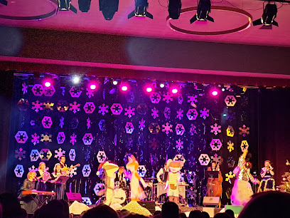
Bura Restaurant & Pub
45.7 km
Discover the delicious organic cuisine and vibrant music scene at Bura Restaurant & Pub in Madona, a perfect blend of taste and culture.
wido wirtuvele
57.6 km
Wido Wirtuvele: A cozy bar in Skemai, Lithuania, inviting you to indulge in local drinks and warm hospitality.
IndieJānis, alus darītava - gastrobārs
70.3 km
Discover the taste of craft beer and local cuisine at IndieJānis, the perfect gastrobārs for foodies and beer lovers in Upespils.
Nightclubs & after hour spots
Chill&Grill Stropu Vilnis
78.6 km
Discover the perfect blend of relaxation and fun at Chill&Grill Stropu Vilnis - a premier campground with engaging activities in Daugavpils.
FORT CLUB
81.2 km
Discover the pulse of Daugavpils at Fort Club, a vibrant night club where music, dance, and unforgettable memories await.
VERSUS CLUB
81.2 km
Dive into Daugavpils' nightlife at Versus Club, the ultimate destination for dancing and entertainment with an electrifying atmosphere and vibrant music.
LOST WEEKEND
81.2 km
Dive into Daugavpils' nightlife at Lost Weekend, where music, dancing, and unforgettable memories await every visitor.
TEMA CLUB
81.3 km
Experience Daugavpils' nightlife at TEMA CLUB, a hub of music, dance, and local culture where unforgettable memories are made.
One More Club
81.3 km
Experience the electrifying nightlife at One More Club in Daugavpils, where dance and music come together in a vibrant atmosphere.
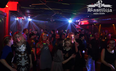
Bastīlija, nakts klubs
81.7 km
Discover the vibrant nightlife of Daugavpils at Bastīlija Night Club, where music and culture create unforgettable experiences.
Statvas
88.6 km
Discover the electric nightlife of Statvas in Zarasai, where music, dancing, and unforgettable memories await every visitor.
Siguldas DEVONS
95.0 km
Discover the vibrant arts and culture of Sigulda at Siguldas DEVONS, a community hub showcasing local talent and heritage.
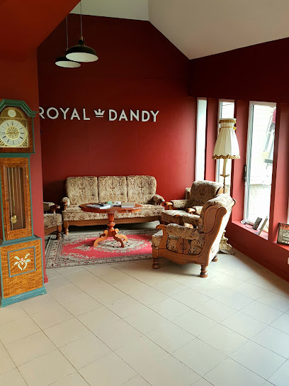
Royal Dandy
95.3 km
Experience the perfect blend of traditional barbering and modern styling at Royal Dandy in Sigulda, where every visit is tailored to your grooming needs.
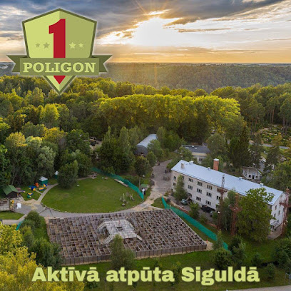
POLIGON #1 Lāzertags - Sigulda
95.8 km
Experience the thrill of laser tag at POLIGON #1 in Sigulda, the perfect destination for family fun, events, and unforgettable memories.
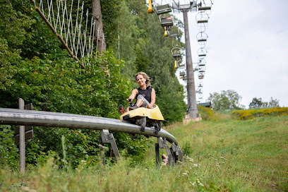
Tarzāns
95.9 km
Experience the excitement of Tarzāns Amusement Park in Sigulda, Latvia, where thrilling rides and beautiful nature create unforgettable memories.
Action Quest - Bunker
95.9 km
Experience the thrill of outdoor adventures at Action Quest - Bunker in Sigulda, where excitement and teamwork come together for unforgettable fun.
SIGULDA ADVENTURES
96.0 km
Experience heart-pounding thrills and breathtaking views at Sigulda Adventures, a top destination for adventure lovers in Latvia.
Siguldas pilsdrupu estrāde
96.1 km
Discover the vibrant atmosphere of Siguldas Pilsdrupu Estrāde, where live music meets stunning natural beauty in the heart of Sigulda.