
Explore the Natural Wonders of Panthertown Valley
Discover the breathtaking beauty of Panthertown Valley, an iconic hiking area in North Carolina filled with stunning landscapes and diverse trails.
Panthertown Valley Trailhead offers an incredible hiking experience amid the stunning landscapes of North Carolina. Known for its diverse trails and breathtaking views, this destination is perfect for nature lovers and outdoor adventurers alike. With trails suitable for all levels, visitors can explore lush forests, cascading waterfalls, and panoramic vistas that showcase the region's natural beauty.
A brief summary to Panthertown Valley Trailhead - Public Access
- Breedlove Rd, Glenville, North Carolina, 28736, US
- Visit website
Local tips
- Arrive early in the morning for quieter trails and the chance to see wildlife.
- Wear sturdy hiking boots as some trails can be rocky and uneven.
- Bring plenty of water and snacks, especially on longer hikes.
- Check local weather conditions before heading out, as storms can develop quickly.
- Consider downloading a trail map or using a GPS device, as cell service may be limited.
Getting There
-
Car
From the center of Nantahala National Forest, head east on NC-28 N. After about 15 miles, turn left onto Breedlove Rd. Continue on Breedlove Rd for approximately 2 miles until you reach the Panthertown Valley Trailhead. Look for the trailhead sign and parking area on your right.
-
Public Transportation
There are limited public transportation options directly to the Panthertown Valley Trailhead. You may take a bus to the nearest town, Cashiers, NC, using regional services. From Cashiers, you can arrange for a taxi or rideshare service to Breedlove Rd, which is about 5 miles away from the center of Cashiers. Ensure to check the bus schedule in advance as services may not be frequent.
-
Biking
If you prefer to bike, you can park your car at a nearby location in Nantahala National Forest and take the mountain biking trails to reach Breedlove Rd. The biking paths are well-maintained, but please ensure you have a map of the trails. Follow signs towards Glenville, and you will eventually connect to Breedlove Rd, leading you to the Panthertown Valley Trailhead.
-
Walking
If you are already in the vicinity and prefer walking, make your way towards Breedlove Rd from your current location. The trailhead is accessible via footpaths from local areas, but be mindful of the terrain. It is recommended to wear sturdy shoes as some paths may be rugged.
Discover more about Panthertown Valley Trailhead - Public Access
Iconic landmarks you can’t miss
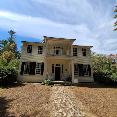
Zachary-Tolbert House
9.3 km
Explore the rich heritage of North Carolina at the Zachary-Tolbert House, a historical museum immersing visitors in the region's early settler life.
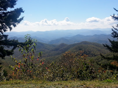
Wolf Mountain Overlook
17.7 km
Discover breathtaking views and serene nature at Wolf Mountain Overlook, a must-visit scenic spot along the iconic Blue Ridge Parkway.
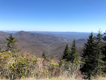
Courthouse Valley Overlook
18.3 km
Discover the stunning vistas and natural beauty at Courthouse Valley Overlook, a must-visit scenic spot along the Blue Ridge Parkway in North Carolina.
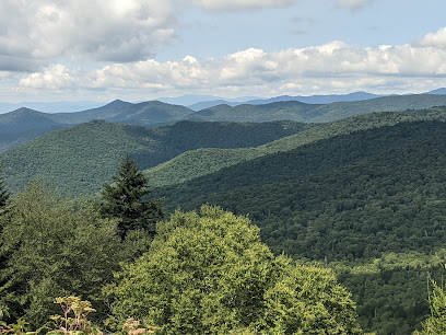
Caney Fork Overlook
18.9 km
Discover the breathtaking views at Caney Fork Overlook, a serene escape along the iconic Blue Ridge Parkway in North Carolina's Appalachian Mountains.
Laurel Falls
20.1 km
Experience the natural beauty and historical significance of Laurel Falls in Sunset, SC, a must-visit landmark for nature lovers and hikers.
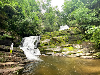
Graveyard Fields Upper Falls
22.9 km
Immerse yourself in the breathtaking beauty of Graveyard Fields Upper Falls, a hidden gem of North Carolina's wilderness, perfect for hiking and nature lovers.
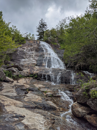
East Fork Overlook
24.9 km
Discover the stunning panoramic views of East Fork Overlook, a must-visit scenic spot along the Blue Ridge Parkway in North Carolina.
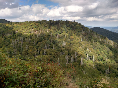
Sassafras Mountain
26.7 km
Reach the peak of South Carolina's beauty at Sassafras Mountain, offering easy access and stunning four-state views.
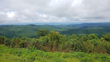
Burrell's Place Site
27.1 km
Explore Burrell's Place Site, a historical landmark in Mountain Rest, SC, rich in stories and surrounded by breathtaking natural beauty.
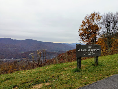
Village of Saunook Overlook
29.5 km
Experience the breathtaking beauty of the Appalachian Mountains at the Village of Saunook Overlook, a must-visit scenic spot along the iconic Blue Ridge Parkway.
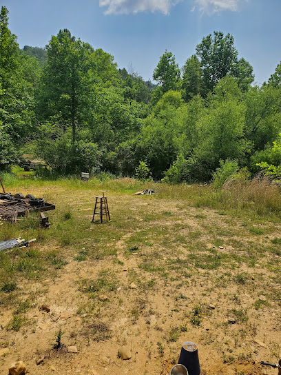
Cherokee Ruby & Sapphire Mine
30.6 km
Discover the thrill of gem mining at Cherokee Ruby & Sapphire Mine in Franklin, NC—an unforgettable experience for treasure hunters of all ages.
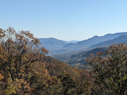
The Orchards Overlook
30.7 km
Experience the stunning vistas of The Orchards Overlook on the Blue Ridge Parkway, a perfect retreat for nature lovers and photographers alike.
Scottish Tartans Museum
30.9 km
Explore the vibrant history of Scottish tartans at the Scottish Tartans Museum in Franklin, NC - a unique cultural experience for all visitors.

Macon County Historical Museum
31.1 km
Discover the captivating history of Franklin, North Carolina, at the Macon County Historical Museum, where local culture meets engaging exhibits.

Commemorating The Ring Fight
31.6 km
Experience the profound historical significance and natural beauty at The Ring Fight landmark in Cheohee Valley, South Carolina.
Unmissable attractions to see
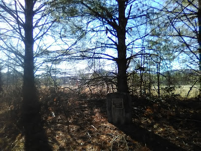
Granny Burrell Falls
1.2 km
Explore the breathtaking beauty of Granny Burrell Falls, a serene waterfall nestled in Sapphire, North Carolina's stunning landscape.
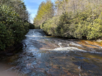
Turtleback Falls
10.7 km
Discover the beauty of Turtleback Falls, a stunning natural attraction in North Carolina, perfect for hiking, photography, and reconnecting with nature.
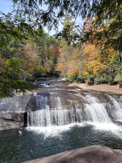
Gorges State Park
11.4 km
Experience the breathtaking beauty and outdoor adventures at Gorges State Park in North Carolina, a must-visit destination for nature lovers.
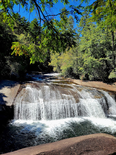
Silver Run Falls Trailhead
11.5 km
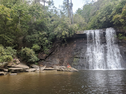
Explore the serene beauty of Silver Run Falls Trailhead, a hiking paradise in Cashiers, NC, featuring stunning waterfalls and lush landscapes.
John's Jump Falls
11.5 km
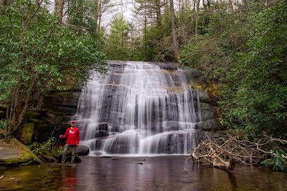
Experience the breathtaking beauty of John's Jump Falls in Sapphire, NC, a must-visit destination for nature lovers and adventure seekers alike.
Cashiers Sliding Rock
12.1 km
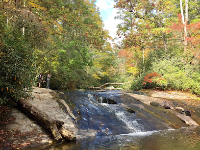
Discover the thrill of sliding into nature's pools at Cashiers Sliding Rock, an iconic natural attraction in Highlands, North Carolina.
Whitewater Falls
14.9 km
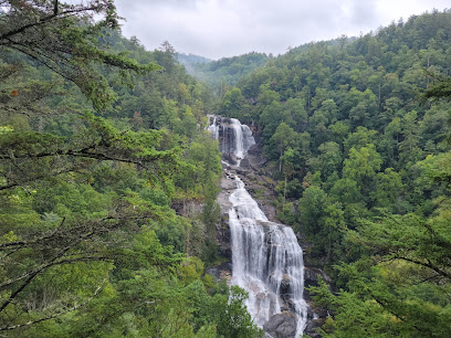
Explore the breathtaking Whitewater Falls in Cashiers, NC, a stunning natural attraction perfect for adventure seekers and families alike.
Judaculla Rock
16.1 km
Discover the ancient petroglyphs and rich history of Judaculla Rock, a hidden gem in North Carolina's Blue Ridge Mountains.
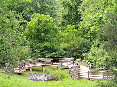
Thompson River Falls
17.0 km
Explore the breathtaking beauty of Thompson River Falls in Salem, SC, where nature's tranquility meets stunning landscapes.
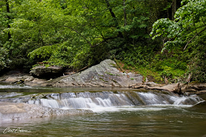
Rough Butt Bald Overlook
17.5 km
Discover the stunning vistas of Rough Butt Bald Overlook on the Blue Ridge Parkway, a must-see for nature lovers and photographers alike.
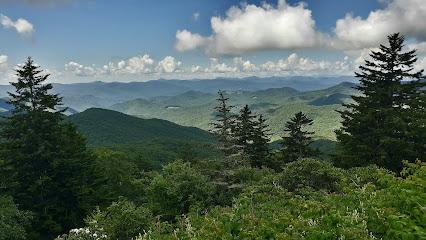
Wright Creek Falls
18.8 km
Experience the natural beauty of Wright Creek Falls in Salem, SC, where hiking trails lead to breathtaking waterfalls and serene landscapes.
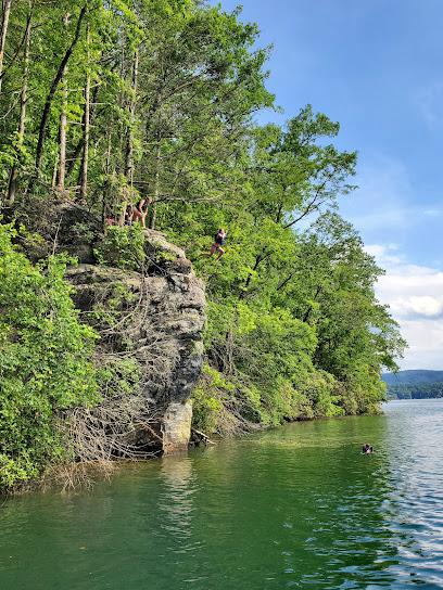
Ellicott Rock Wilderness
19.6 km
Explore the breathtaking landscapes and diverse wildlife of Ellicott Rock Wilderness in South Carolina's serene natural preserve.
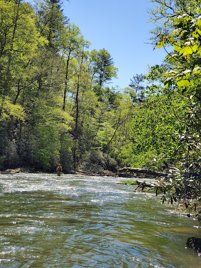
Devil's Courthouse
19.9 km
Discover the stunning vistas and rich folklore at Devil's Courthouse, a premier viewpoint on the Blue Ridge Parkway in North Carolina.
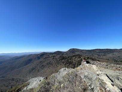
Laurel Fork Falls
20.0 km
Explore Laurel Fork Falls, a stunning natural park in Sunset, SC, featuring breathtaking waterfalls and lush landscapes perfect for outdoor adventures.
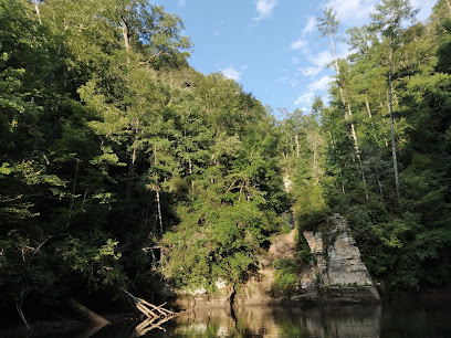
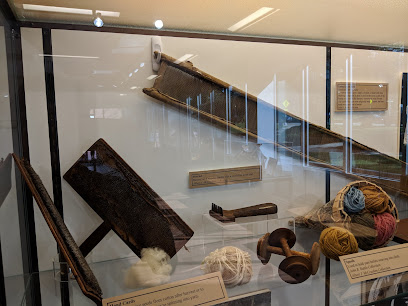
Mountain Heritage Center
20.5 km
Explore the vibrant cultural tapestry of Southern Appalachia at the Mountain Heritage Center in Cullowhee, NC, where history comes alive.
Essential places to dine
Canyon Kitchen
4.5 km
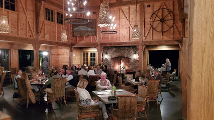
Experience fine dining at its best at Canyon Kitchen in Sapphire, NC—where local flavors meet stunning mountain views.
Micas Restaurant and Pub
5.0 km
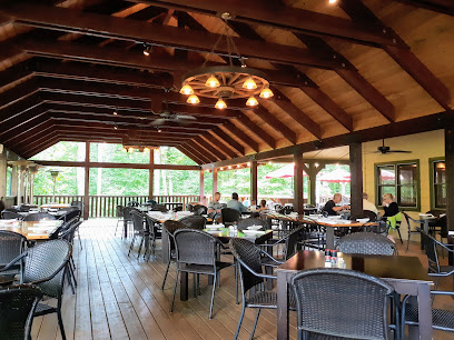
Discover Micas Restaurant and Pub in Sapphire: A delightful American eatery offering delicious pizzas, bar favorites, and an inviting atmosphere.
Slopeside Tavern
5.2 km
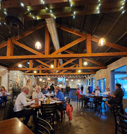
Discover Slopeside Tavern: A delightful dining destination in Sapphire Valley offering delicious meals and stunning mountain views.
The Restaurant at The Greystone Inn
8.5 km
Experience exquisite dining at The Restaurant at The Greystone Inn in Lake Toxaway – where local flavors meet breathtaking views.

Grand Olde Station Restaurant
10.5 km
Experience authentic American cuisine amidst the breathtaking beauty of Lake Toxaway at Grand Olde Station Restaurant.
Villa Amato
10.9 km
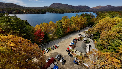
Discover Villa Amato: An Authentic Italian Restaurant Offering Exquisite Cuisine Amidst the Natural Beauty of Lake Toxaway.
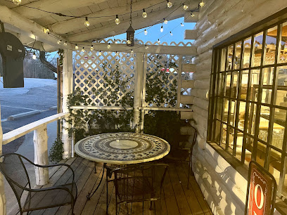
The Stubborn Bull at Mill Creek
19.0 km
Experience farm-to-table dining at The Stubborn Bull in Highlands, NC - where local flavors meet warm hospitality.
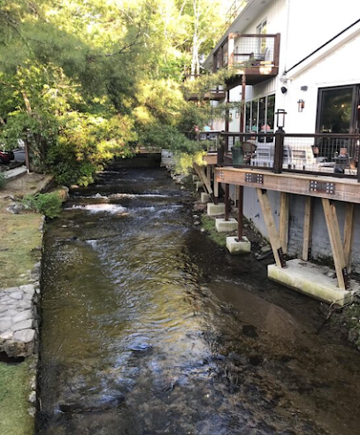
Wolfgang's Restaurant & Wine Bistro
19.2 km
Discover culinary delight at Wolfgang's Restaurant & Wine Bistro in Highlands - where American flavors meet French elegance.

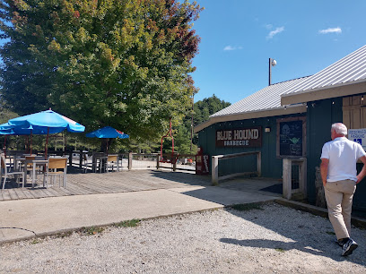
Blue Hound Barbecue
29.2 km
Experience authentic Southern barbecue at Blue Hound Barbecue in Scaly Mountain - where every bite is a taste of tradition.
The Rivers and Rails Tavern
29.3 km
Discover Southern hospitality at The Rivers and Rails Tavern in Dillsboro – where local flavors meet stunning mountain views.

Asian King Chinese Buffet
29.7 km
Savor endless authentic Chinese dishes at Asian King Chinese Buffet in Franklin – a delicious dining experience awaits!

Boone Thai Restaurant
29.8 km
Discover authentic Thai cuisine at Boone Thai Restaurant in Franklin, NC - a culinary delight featuring fresh ingredients and vibrant flavors.

Graff's Tavern
30.3 km
Experience the heart of American dining at Graff's Tavern in Franklin, NC—where local flavors meet warm hospitality.

Caffè Rel
30.4 km
Experience authentic French cuisine at Caffè Rel in Franklin, NC - where delightful flavors meet charming ambiance.

Kountry Kitchen
30.5 km
Discover Kountry Kitchen in Franklin: A delightful breakfast spot offering hearty meals and warm Southern hospitality.

Markets, malls and hidden boutiques
Vivace of Cashiers
8.2 km
Discover unique fashion finds at Vivace of Cashiers, where style meets the charm of the North Carolina mountains for an unforgettable shopping experience.

The Cashiers Store
8.7 km
Explore The Cashiers Store for unique clothing and local artisan treasures in beautiful Cashiers, North Carolina.

Historic Toxaway Market
10.9 km
Explore gourmet delights and fine wines at Historic Toxaway Market in Lake Toxaway, NC - a treasure trove for food enthusiasts and travelers.

RECLAMATIONS
15.1 km
Explore RECLAMATIONS in Highlands, NC, where unique antiques and architectural salvage await to inspire your next project or home decor.
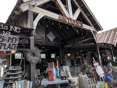
The General Store
17.9 km
Explore unique gifts and local crafts at The General Store in Brevard, North Carolina, where every item tells a story.

Elevation
19.3 km
Explore Elevation in Highlands, NC for a unique women’s fashion experience showcasing style, comfort, and local artistry.

Rosenthals
19.3 km
Explore Rosenthals Boutique in Highlands, NC for an exquisite selection of women's fashion, shoes, and perfumes in a charming shopping atmosphere.

Lake Jocassee
23.3 km
Discover the breathtaking beauty and outdoor adventures at Lake Jocassee, a hidden gem nestled in the Blue Ridge Mountains of South Carolina.

WHISTLE STOP DEPOT ANTIQUES & RV PARK
25.1 km
Explore a unique blend of history and hospitality at Whistle Stop Depot Antiques & RV Park in Franklin, North Carolina.

Eclectic Sun Paddlesports
25.3 km
Discover the beauty of South Carolina's waterways with canoe and kayak rentals at Eclectic Sun Paddlesports, your go-to for outdoor adventure.
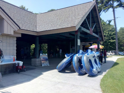
JOCASSEE LAKE TOURS
25.4 km
Experience the breathtaking beauty and diverse wildlife of Lake Jocassee with unforgettable guided tours in South Carolina.
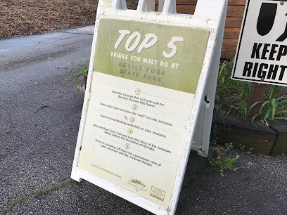
Lake Jocassee Devils Point #1 access
25.5 km
Experience the breathtaking beauty and serene waters of Lake Jocassee, a premier swimming lake in South Carolina perfect for outdoor adventures and relaxation.
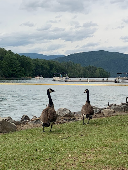
Rockhound Ridge Gem Mine
25.7 km
Unearth unique gemstones and enjoy a family-friendly adventure at Rockhound Ridge Gem Mine in Sylva, North Carolina.
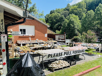
Jocassee Outdoor Center
26.3 km
Discover endless adventures at Jocassee Outdoor Center, your hub for boating, fishing, and outdoor exploration in South Carolina's stunning landscapes.
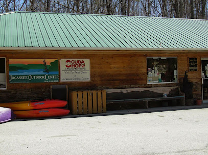
The Cliffs at Keowee Vineyards Marina
26.6 km
Discover unparalleled natural beauty and endless recreational activities at The Cliffs at Keowee Vineyards Marina, a haven for adventure seekers in South Carolina.

Essential bars & hidden hideouts
The Fix Restaurant Bar and Lounge
4.9 km
Discover the flavors of Sapphire at The Fix Restaurant Bar and Lounge, where culinary excellence meets breathtaking mountain views.

The Library Kitchen & Bar
5.4 km
Discover the perfect blend of Southern charm and culinary delight at The Library Kitchen & Bar in Sapphire, NC.

Whiteside Brewing Company
8.2 km
Experience the best of craft beer at Whiteside Brewing Company, a brewpub nestled in the scenic beauty of Cashiers, North Carolina.

Osteria Del Monte
8.2 km
Experience the essence of Italy at Osteria Del Monte, where authentic flavors and a cozy atmosphere await in Sapphire, NC.
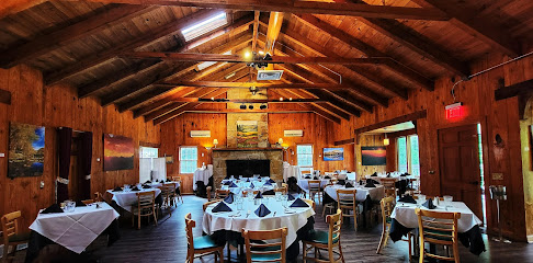
The Ugly Dog Pub-Cashiers
8.4 km
Discover the vibrant atmosphere and delicious offerings at The Ugly Dog Pub in Cashiers, North Carolina, your go-to spot for food, drinks, and entertainment.

Panthertown Cafe LLC
10.7 km
Experience the charm of southern cuisine at Panthertown Cafe, where nature and delicious flavors meet in the heart of Lake Toxaway.
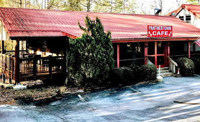
Los Vaqueros Mexican Restaurant
11.1 km
Savor authentic Mexican flavors in a vibrant setting at Los Vaqueros Mexican Restaurant in Lake Toxaway, North Carolina.
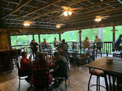
Forks of the River Taproom
18.4 km
Discover the rustic allure of Forks of the River Taproom, a cozy beer garden in Rosman, NC, surrounded by the breathtaking Blue Ridge Mountains.
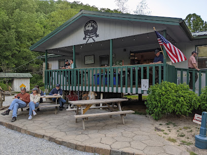
Jocassee Point
18.8 km
Experience the breathtaking beauty and outdoor adventures at Jocassee Point, your gateway to nature in South Carolina's stunning landscapes.
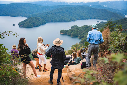
The High Dive
19.0 km
Discover The High Dive in Highlands, NC - a lively bar offering creative cocktails, great vibes, and a perfect spot to unwind after your adventures.

The Ugly Dog Public House- Highlands
19.4 km
Discover the charm of The Ugly Dog Public House in Highlands, a dog-friendly pub offering delicious food, craft drinks, and a welcoming atmosphere for all.
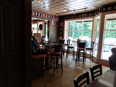
Creekside Oyster House and Grill
28.0 km
Discover the flavors of the Smokies at Creekside Oyster House and Grill, where fresh seafood meets a cozy atmosphere in Sylva, North Carolina.
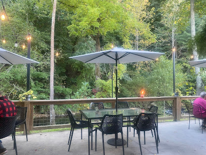
The Cut Cocktail Lounge
28.2 km
Discover the vibrant atmosphere and creative cocktails at The Cut Cocktail Lounge in Sylva, NC - a must-visit bar for travelers.

Balsam Falls Brewing Co.
28.2 km
Discover Balsam Falls Brewing Co. in Sylva, NC, where craft beer and community spirit combine to create an unforgettable experience.

Jocassee Valley Brewing Company
29.7 km
Experience the best of craft brewing at Jocassee Valley Brewing Company, where local flavors and scenic views unite for an unforgettable visit.

Nightclubs & after hour spots
Mountain House Jubilee
39.0 km
Discover the vibrant nightlife at Mountain House Jubilee, the premier night club in Maggie Valley, NC, known for its lively music and dance atmosphere.
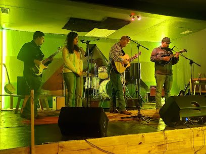
Zeus
55.9 km
Discover the electrifying nightlife of Zeus, the premier night club in Hendersonville, North Carolina, where unforgettable nights await.

The Esso Club
56.8 km
Experience the vibrant nightlife of Clemson at The Esso Club, a lively bar and club known for its great drinks and live entertainment.

Downtown Asheville
62.9 km
Explore the vibrant nightlife of Downtown Asheville, where eclectic bars, live music, and local culture come together for an unforgettable evening.

Breezeway Bar
63.2 km
Experience the charm of Asheville at Breezeway Bar, where craft cocktails and local brews create the perfect atmosphere for relaxation.

Sly Grog Lounge
64.1 km
Discover the vibrant atmosphere of Sly Grog Lounge, where vintage vibes meet live music and arcade fun in Asheville's River Arts District.

O. Henry's
64.3 km
O. Henry's: Asheville's vibrant gay bar and nightclub, offering unforgettable nights filled with karaoke, dancing, and a welcoming atmosphere.

27 Club
64.3 km
Discover the heartbeat of Asheville's nightlife at the 27 Club, where live music, karaoke, and a vibrant atmosphere come together for an unforgettable experience.

GROVE HOUSE Entertainment Complex
64.4 km
Discover the pulse of Asheville's nightlife at Grove House, an entertainment complex that promises lively music, dancing, and unforgettable experiences.

Scandals Nightclub
64.4 km
Experience the energetic nightlife of Asheville at Scandals Nightclub, where dancing and drinks come together in a vibrant atmosphere.

Club Eleven On Grove
64.4 km
Unleash your night at Club Eleven On Grove - Asheville's premier dance hall and event venue for unforgettable experiences.

Asheville Yacht Club
64.6 km
Experience the lively atmosphere of Asheville Yacht Club, where delicious food and vibrant nightlife blend seamlessly for an unforgettable adventure.

LaZoom Room
64.7 km
Discover the vibrant nightlife at LaZoom Room, Asheville's quirky bar with craft beers, entertainment, and a uniquely fun atmosphere.

Tiger Mountain
65.0 km
Discover the ultimate nightlife experience in Asheville at Tiger Mountain, where disco, live music, and a vibrant atmosphere await you.

Room Nine
65.0 km
Discover the pulse of Asheville's nightlife at Room Nine, a lively nightclub that offers the perfect blend of dance, drinks, and good vibes.


