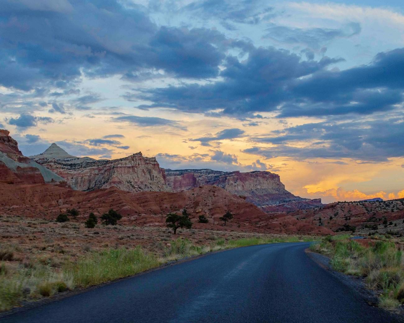
Nantahala National Forest: A Serene Wilderness Escape
Explore the natural splendor of Nantahala National Forest in North Carolina, a haven for outdoor enthusiasts with hiking, rafting, and breathtaking mountain views.
Nantahala National Forest in North Carolina is a vast expanse of natural beauty. It spans over 500,000 acres and offers a variety of outdoor activities. The forest is named after the Cherokee word 'Nantahala', which means 'Land of the Noonday Sun'. This name is fitting, as the forest's dense canopy often allows sunlight only at the height of the day. Visitors to Nantahala can enjoy hiking, fishing, camping, and whitewater rafting. The forest is home to numerous trails, including sections of the famous Appalachian Trail. For those who enjoy water sports, the Nantahala River is a popular spot for rafting and kayaking. The river's rapids range from gentle to challenging, making it suitable for all skill levels. Nature lovers will appreciate the diverse wildlife and plant species found in the forest. Bird watchers can spot a variety of birds, while those with a keen eye may see deer, black bears, and other animals. The forest also offers breathtaking views, especially from the Wayah Bald lookout tower, where visitors can see for miles across the mountains. In addition to its natural attractions, Nantahala National Forest has several developed recreation areas. These areas provide amenities such as picnic spots, boat launches, and camping facilities. Whether you're seeking adventure or a peaceful retreat, Nantahala National Forest has something to offer.
Local tips in Nantahala National Forest
- Check the weather forecast before your visit to ensure you come prepared for changing conditions.
- Bring insect repellent during the warmer months to protect against mosquitoes and ticks.
- Wear sturdy hiking boots, especially if you plan to explore the trails.
- Visit the Wayah Bald lookout tower for panoramic views of the surrounding mountains.
- Plan your rafting trip in advance, especially during peak season, to secure a spot.
- Respect wildlife and maintain a safe distance from animals you encounter.
- Carry a map and compass or GPS device, as some areas may have limited cell service.
Nantahala National Forest: A Serene Wilderness Escape
Nantahala National Forest in North Carolina is a vast expanse of natural beauty. It spans over 500,000 acres and offers a variety of outdoor activities. The forest is named after the Cherokee word 'Nantahala', which means 'Land of the Noonday Sun'. This name is fitting, as the forest's dense canopy often allows sunlight only at the height of the day. Visitors to Nantahala can enjoy hiking, fishing, camping, and whitewater rafting. The forest is home to numerous trails, including sections of the famous Appalachian Trail. For those who enjoy water sports, the Nantahala River is a popular spot for rafting and kayaking. The river's rapids range from gentle to challenging, making it suitable for all skill levels. Nature lovers will appreciate the diverse wildlife and plant species found in the forest. Bird watchers can spot a variety of birds, while those with a keen eye may see deer, black bears, and other animals. The forest also offers breathtaking views, especially from the Wayah Bald lookout tower, where visitors can see for miles across the mountains. In addition to its natural attractions, Nantahala National Forest has several developed recreation areas. These areas provide amenities such as picnic spots, boat launches, and camping facilities. Whether you're seeking adventure or a peaceful retreat, Nantahala National Forest has something to offer.
When is the best time to go to Nantahala National Forest?
Iconic landmarks you can’t miss
Joyce Kilmer Memorial Forest, Cheoah Ranger District, Nantahala National Forest
Discover the timeless beauty of Joyce Kilmer Memorial Forest, a stunning sanctuary of ancient trees and diverse wildlife in the Nantahala National Forest.
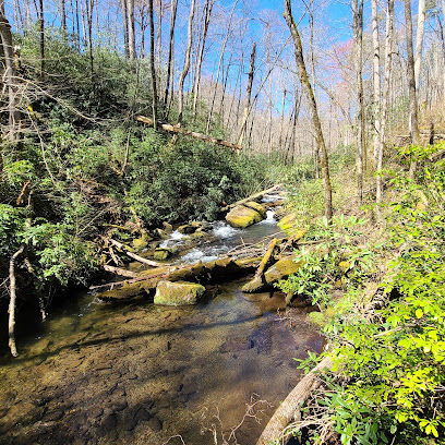
Rose Creek Mine
Experience the joy of gem mining and discover unique treasures at Rose Creek Mine in Franklin, North Carolina, a gem enthusiast's paradise.
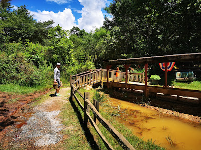
Scottish Tartans Museum
Explore the vibrant history of Scottish tartans at the Scottish Tartans Museum in Franklin, NC - a unique cultural experience for all visitors.

Judaculla Rock
Explore the ancient petroglyphs of Judaculla Rock, a historical gem in North Carolina, revealing the rich heritage of Native American cultures.
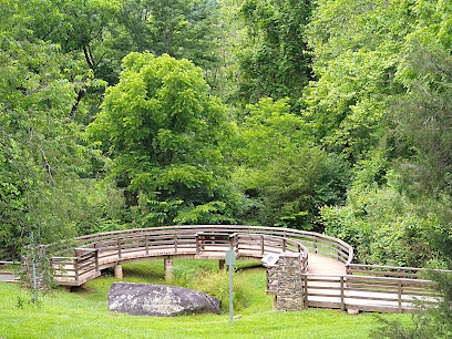
Cherokee Ruby & Sapphire Mine
Discover the thrill of gem mining at Cherokee Ruby & Sapphire Mine in Franklin, NC—an unforgettable experience for treasure hunters of all ages.
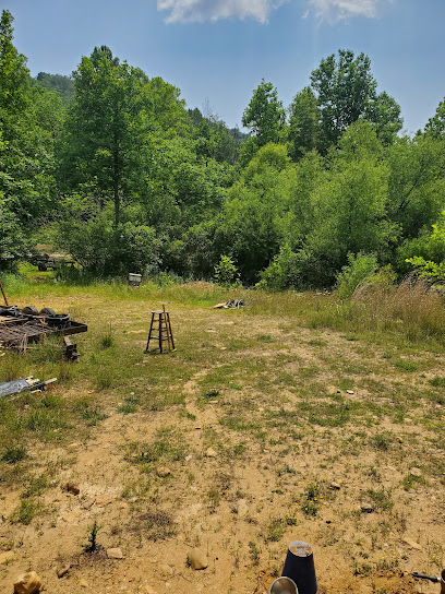
Wesser Bald Fire Tower
Discover breathtaking views and serene hiking trails at Wesser Bald Fire Tower in Franklin, North Carolina - a hidden gem in the Appalachian Mountains.
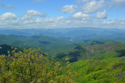
Nantahala River Gem Mine
Explore the enchanting Nantahala River Gem Mine in Bryson City, NC, where adventure and nature collide for a treasure-hunting experience.
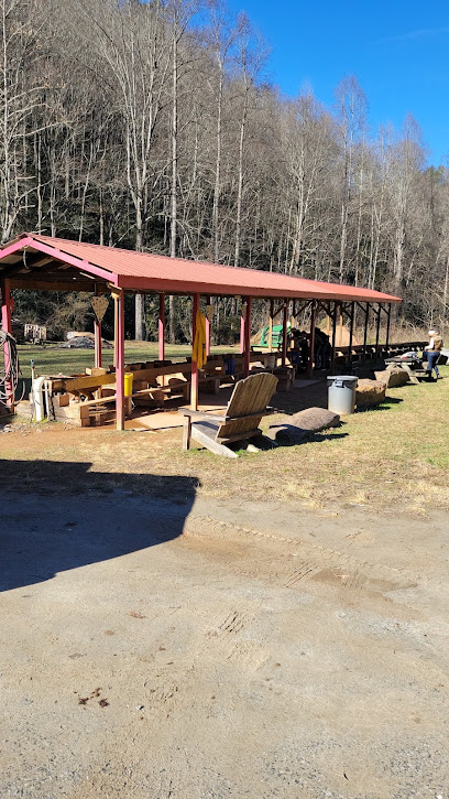
Patton's Run Overlook - Nantahala National Forest
Discover the serene beauty and breathtaking views of Patton's Run Overlook in Nantahala National Forest, a perfect escape for nature lovers and adventure seekers.
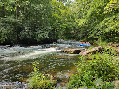
Tsali Trailhead, US Forest Service, Cheoah Ranger District
Explore the breathtaking trails and scenic beauty of Tsali Trailhead in Cheoah Ranger District, a paradise for outdoor enthusiasts.
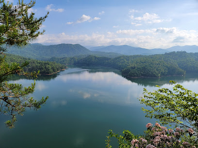
Fontana Lake Overlook
Discover the stunning vistas at Fontana Lake Overlook, a scenic gem in North Carolina that offers breathtaking views of nature's beauty.
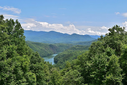
Rufus Morgan Trail and Falls
Explore the stunning Rufus Morgan Trail and Falls, a hiking paradise in North Carolina with breathtaking views and a picturesque waterfall.
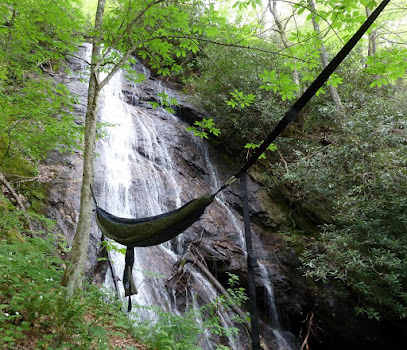
Mason's Ruby & Sapphire Mine
Unearth your own gemstones at Mason's Ruby & Sapphire Mine in Franklin, NC, where adventure and nature blend seamlessly for an unforgettable experience.
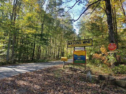
Cliff Branch Falls
Explore the breathtaking Cliff Branch Falls in North Carolina, a natural wonder perfect for hiking, photography, and immersing in serene landscapes.
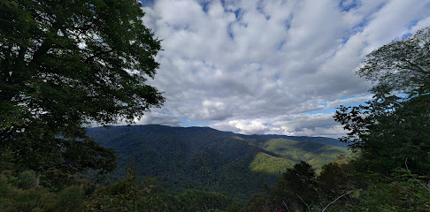
Southern Nantahala Wilderness
Discover the breathtaking landscapes and outdoor adventures in Southern Nantahala Wilderness, a must-visit destination for nature lovers in North Carolina.
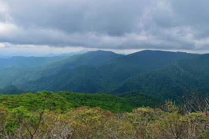
Nantahala Ranger Station
Explore the Nantahala Ranger Station for an unforgettable experience in North Carolina's stunning natural landscapes and outdoor adventures.
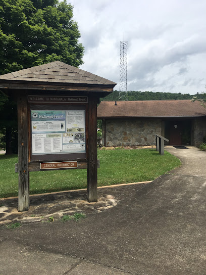
Unmissable attractions to see
Pisgah National Forest
Explore the breathtaking landscapes of Pisgah National Forest in North Carolina, a paradise for outdoor enthusiasts and nature lovers.
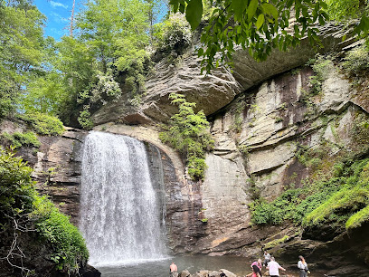
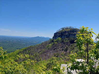
Pilot Mountain State Park
Discover the stunning landscapes and outdoor adventures at Pilot Mountain State Park in North Carolina - a perfect getaway for nature lovers and thrill-seekers.
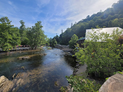
Nantahala Outdoor Center
Experience the thrill of white-water rafting, kayaking, and outdoor adventures at Nantahala Outdoor Center in the heart of North Carolina's mountains.
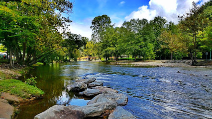
Oconaluftee Island Park
Explore Oconaluftee Island Park: A serene escape into nature with scenic trails, tranquil waters, and vibrant wildlife in Cherokee, North Carolina.
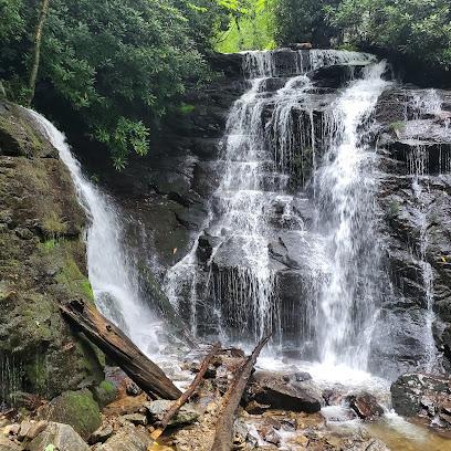
Soco Falls
Explore the natural beauty of Soco Falls in North Carolina, a breathtaking waterfall experience surrounded by lush landscapes and scenic trails.
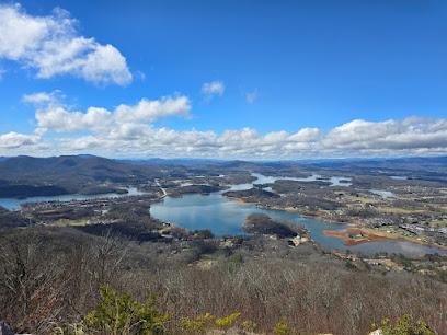
Bell Mountain
Explore Bell Mountain in Hiawassee, GA – a stunning hiking area offering breathtaking views and a rich natural experience amidst the beauty of the Blue Ridge Mountains.
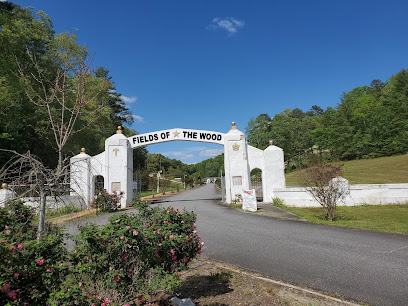
Fields of the Wood
Discover tranquility at Fields of the Wood, a unique spiritual and natural retreat located in the scenic Murphy, North Carolina.
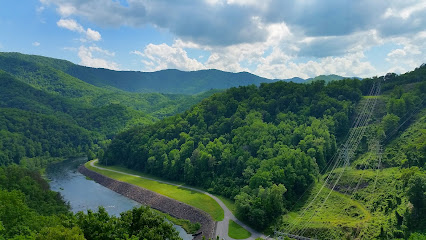
TVA Fontana Dam Visitors Center
Explore the Fontana Dam Visitors Center in North Carolina - an engineering marvel with breathtaking views and engaging exhibits about hydroelectric power.
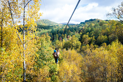
Highlands Aerial Park
Experience the thrill of zip lining and treetop courses at Highlands Aerial Park, an adventure sports center in Scaly Mountain, North Carolina.
Carolina Outfitters White Water Rafting
Experience the thrill of white water rafting and explore the natural beauty of North Carolina at Carolina Outfitters, your adventure awaits!
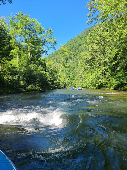
Wildwater Nantahala Rafting & Canopy Tours
Discover unforgettable rafting and canopy tours at Wildwater Nantahala, where adventure meets breathtaking natural beauty in North Carolina.
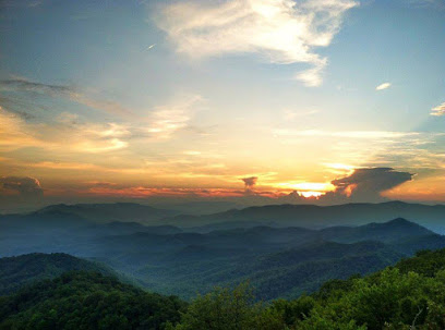
Rolling Thunder River Company
Experience the thrill of rafting at Rolling Thunder River Company in Bryson City, NC, where adventure meets stunning natural beauty amid the Smoky Mountains.
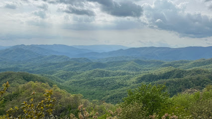
Bust Your Butt Falls
Experience the natural beauty of Bust Your Butt Falls, a stunning waterfall in Highlands, NC, perfect for outdoor enthusiasts and nature lovers.
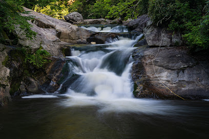
Silver Run Falls Trailhead
Explore the serene beauty of Silver Run Falls Trailhead, a hiking paradise in Cashiers, NC, featuring stunning waterfalls and lush landscapes.
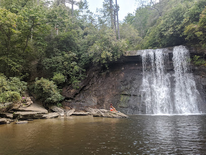
Joyce Kilmer Memorial Forest, Cheoah Ranger District, Nantahala National Forest
Explore the natural beauty and tranquility of Joyce Kilmer Memorial Forest, a hidden gem in Nantahala National Forest, North Carolina.
Essential places to dine
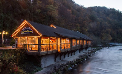
River's End Restaurant
Experience exquisite American cuisine amidst breathtaking views at River's End Restaurant in Bryson City, NC.
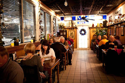
Caffè Rel
Experience authentic French cuisine at Caffè Rel in Franklin, NC - where delightful flavors meet charming ambiance.
Huddle House
Experience authentic American comfort food at Huddle House in Franklin - your go-to diner for breakfast, brunch, and beyond.
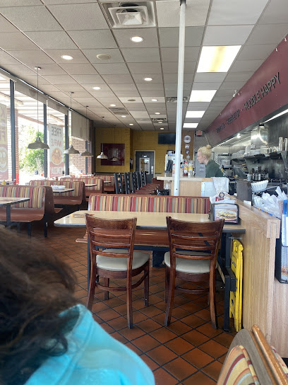
Asian King Chinese Buffet
Savor endless authentic Chinese dishes at Asian King Chinese Buffet in Franklin – a delicious dining experience awaits!
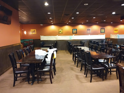
Lynn's Place
Discover Lynn's Place in Robbinsville: where American comfort food meets friendly service in a cozy atmosphere.

Bar-B-Que Wagon
Experience authentic Southern barbecue at Bar-B-Que Wagon in Bryson City - where every bite tells a story.
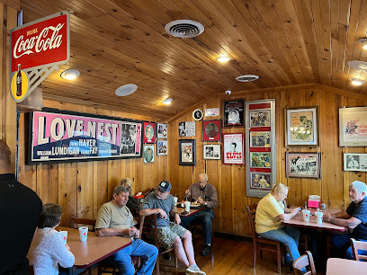
CJ's Grille
Experience delightful grilled cuisine at CJ's Grille in Bryson City—where local flavors meet a cozy atmosphere.
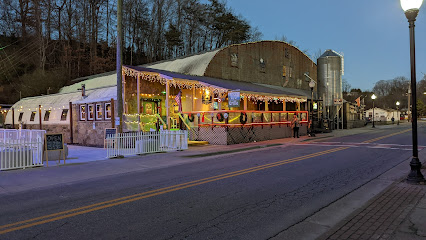
High Test Deli
Discover mouthwatering sandwiches at High Test Deli in Bryson City—your go-to spot for tasty bites during your mountain adventures.
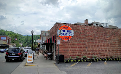
Kountry Kitchen
Discover Kountry Kitchen in Franklin: A delightful breakfast spot offering hearty meals and warm Southern hospitality.
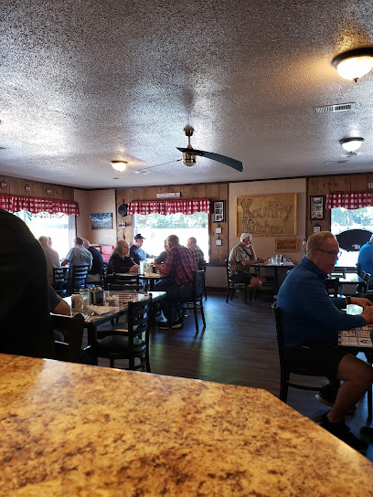
The Bistro at the Everett Hotel
Experience exquisite American cuisine at The Bistro at the Everett Hotel in Bryson City - where every meal tells a story.
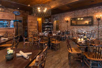
Nantahala Village Resort
Experience family-friendly adventures and serene relaxation at Nantahala Village Resort in beautiful Bryson City, NC.
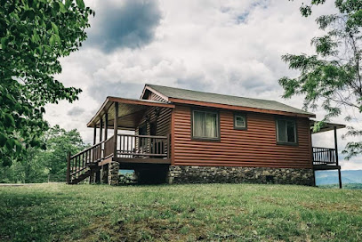
The Rice Wagon
Discover authentic Hawaiian cuisine at The Rice Wagon in Bryson City—where island flavors meet Southern hospitality.
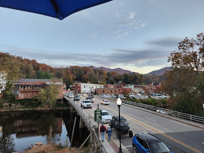
The Rivers and Rails Tavern
Discover Southern flavors at The Rivers and Rails Tavern in Dillsboro – where culinary excellence meets charming hospitality.
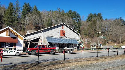
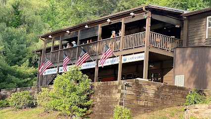
Lakes End Cafe & Grill
Experience delicious American comfort food at Lakes End Cafe & Grill in Topton, NC—perfect for lunch or dinner amidst stunning scenery.
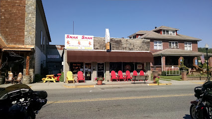
SNAK SHAK
Savor authentic American cuisine at Snak Shak in Bryson City – where comfort food meets warm hospitality.
Markets, malls and hidden boutiques
Nantahala Outdoor Center
Experience the thrill of adventure at Nantahala Outdoor Center with rafting, kayaking, and outdoor activities in the stunning Smoky Mountains.
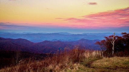
Tail of the Dragon
Discover the breathtaking curves and scenic beauty of Tail of the Dragon, a must-visit for adventure seekers in North Carolina.
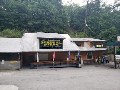
Bryson City Outdoors
Explore the best outdoor gear and rentals at Bryson City Outdoors, your adventure hub in the heart of North Carolina.
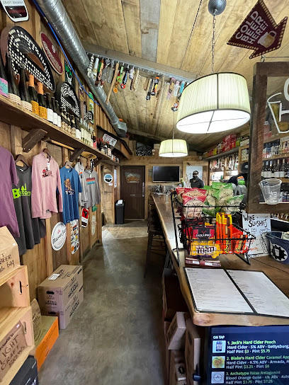
La Dolce Vita Bakery
Experience the charm of La Dolce Vita Bakery, where artisanal coffee meets delectable pastries in the heart of Bryson City.

WHISTLE STOP DEPOT ANTIQUES & RV PARK
Explore a unique blend of history and hospitality at Whistle Stop Depot Antiques & RV Park in Franklin, North Carolina.

NOC Outfitter's Store
Discover the ultimate destination for outdoor gear at NOC Outfitter's Store, your gateway to adventure in the heart of North Carolina.
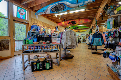
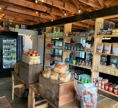
Yonder
Explore Yonder in Franklin, NC for a unique grocery shopping experience featuring local foods, crafts, and community events.
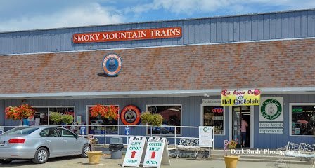
Great Smoky Mountains Railroad Retail Store & Train Museum
Discover the rich history of railroading at the Great Smoky Mountains Railroad Retail Store & Train Museum, where shopping meets adventure in the heart of North Carolina.
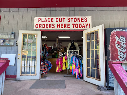
Nantahala River Gem Mine
Unearth your own treasures at Nantahala River Gem Mine, a delightful gem mining experience in the heart of North Carolina's natural beauty.
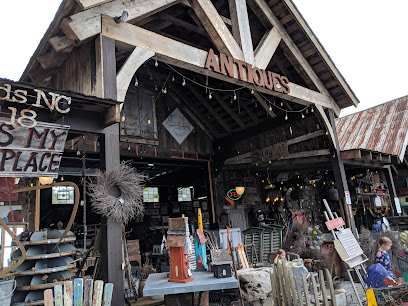
RECLAMATIONS
Explore RECLAMATIONS in Highlands, NC, where unique antiques and architectural salvage await to inspire your next project or home decor.
Three Eagles Outfitters
Discover outdoor gear and stylish apparel at Three Eagles Outfitters, your one-stop shop for North Carolina adventures.
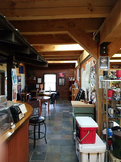
Buttermilk Farms Antiques & Auction
Discover unique antiques and collectibles at Buttermilk Farms Antiques & Auction, an essential stop for vintage enthusiasts in Bryson City, NC.

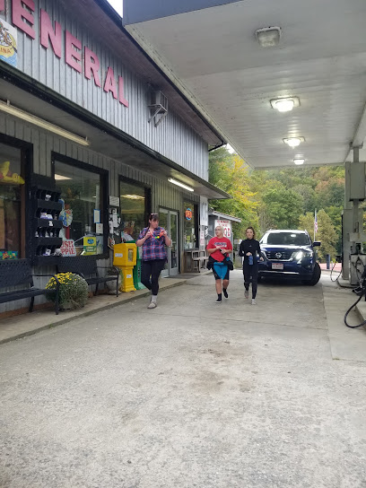
Nantahala Food Mart
Discover the local charm of Nantahala Food Mart in Bryson City, NC - your essential stop for groceries and regional specialties!
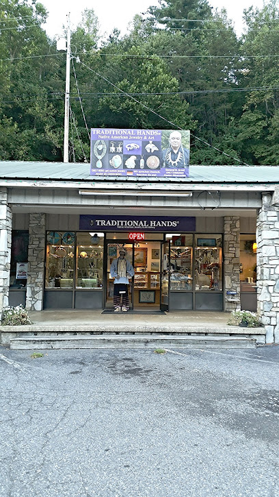
Traditional Hands Native American Jewelry
Discover the beauty and authenticity of Native American craftsmanship at Traditional Hands Jewelry in Cherokee, NC.
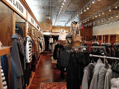
Rosenthals
Explore Rosenthals Boutique in Highlands, NC for an exquisite selection of women's fashion, shoes, and perfumes in a charming shopping atmosphere.
Essential bars & hidden hideouts
Nantahala National Forest
Discover the beauty of Nantahala National Forest, a breathtaking natural retreat perfect for hiking, fishing, and exploring diverse wildlife in North Carolina.
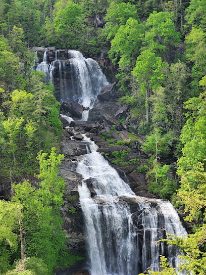
Chevelle's 66
Experience the best of American grill cuisine at Chevelle's 66 in Murphy, NC, where a lively atmosphere meets delicious flavors.
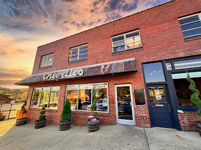
River's End Restaurant
Discover the flavors of classic American cuisine at River's End Restaurant in the heart of Bryson City, surrounded by stunning natural beauty.
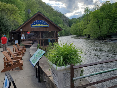
Creekside Oyster House and Grill
Discover the flavors of the Smokies at Creekside Oyster House and Grill, where fresh seafood meets a cozy atmosphere in Sylva, North Carolina.
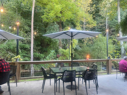
The Ugly Dog Public House- Highlands
Discover the charm of The Ugly Dog Public House in Highlands, a dog-friendly pub offering delicious food, craft drinks, and a welcoming atmosphere for all.
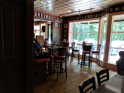
Legends Sports Bar And Grill
Discover the ultimate sports bar experience at Legends Sports Bar And Grill in Maggie Valley, where great food meets exciting games in a lively atmosphere.
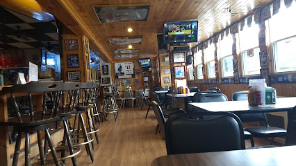
The Ugly Dog Pub-Cashiers
Experience the charm of The Ugly Dog Pub in Cashiers, NC, where delicious food and a warm atmosphere await every traveler.
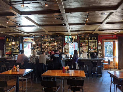
Sand Bar & Grille
Discover the heart of Hiawassee at Sand Bar & Grille, where delectable dishes meet a lively atmosphere filled with music and dance.
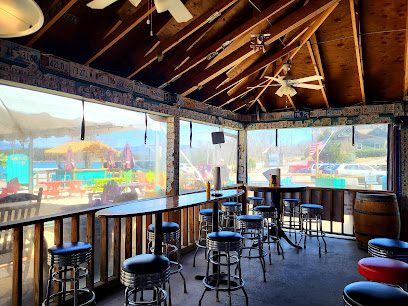
CJ's Grille
Experience the taste of the South at CJ's Grille, where flavor meets comfort in Bryson City, NC.
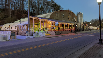
Balsam Falls Brewing Co.
Discover Balsam Falls Brewing Co. in Sylva, NC, where craft beer and community spirit combine to create an unforgettable experience.
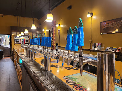
Nantahala Village Resort
Experience the beauty of the Smoky Mountains at Nantahala Village Resort, a family-friendly retreat with cozy accommodations and outdoor adventures.
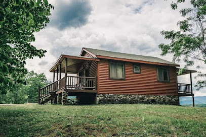
Whiteside Brewing Company
Discover handcrafted beers and scenic views at Whiteside Brewing Company, the heart of Cashiers, NC's craft beer scene.
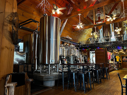
Nocturnal Brewing
Discover the essence of craft brewing at Nocturnal Brewing in Hayesville, NC, where quality beers meet a welcoming atmosphere.
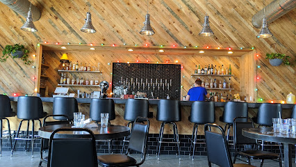
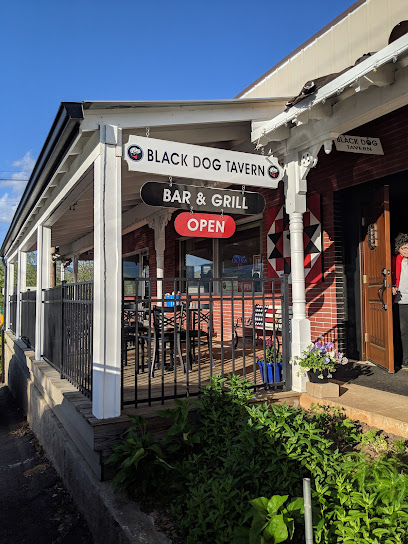
BLACK DOG TAVERN
Experience Southern hospitality at Black Dog Tavern in Hayesville, NC, where delicious food and a cozy atmosphere await every traveler.
Local Phrases about Nantahala National Forest
-
- HelloHowdy
[haʊ-di] - GoodbyeSee ya
[si jə] - YesYup
[jʌp] - NoNah
[nɑː] - Please/You're welcomePlease/No problem
[pliːz/nəʊ ˈprɒbləm] - Thank youThank ya
[θæŋk jə] - Excuse me/SorryPardon/My bad
[ˈpɑːrdn/maɪ bæd] - How are you?How y'all doin'?
[haʊ jɔːl ˈduːɪn] - Fine. And you?Fine. And y'all?
[faɪn. ænd jɔːl] - Do you speak English?Y'all speak English?
[jɔːl spiːk ˈɪŋɡlɪʃ] - I don't understandI ain't catchin' on
[aɪ eɪnt ˈkætʃɪn ɒn]
- HelloHowdy
-
- I'd like to see the menu, pleaseI reckon I'll check the menu, if ya don't mind
[aɪ ˈrɛkən aɪl ˈtʃɛk ðə ˈmɛnjuː ɪf jə doʊnt maɪnd] - I don't eat meatI don't touch meat
[aɪ doʊnt tʌtʃ mit] - Cheers!Bottoms up!
[ˈbɒtəmz ʌp] - I would like to pay, pleaseI'm fixin' to settle up, if you don't mind
[aɪm ˈfɪksɪn tu ˈsɛtl ʌp ɪf jʊ doʊnt maɪnd]
- I'd like to see the menu, pleaseI reckon I'll check the menu, if ya don't mind
-
- Help!SOS!
[ɛs oʊ ˈɛs] - Go away!Git!
[ɡɪt] - Call the Police!Ring the Sheriff!
[rɪŋ ðə ˈʃɛrɪf] - Call a doctor!Holler for a sawbones!
[ˈhɒlər fɔːr ə ˈsɔːboʊnz] - I'm lostI'm turned around
[aɪm tɜrnd əˈraʊnd] - I'm illI'm under the weather
[aɪm ˈʌndər ðə ˈwɛðər]
- Help!SOS!
-
- I'd like to buy...I reckon I'll buy...
[aɪ ˈrɛkən aɪl baɪ] - I'm just lookingI'm just browsin'
[aɪm ˈdʒʌst ˈbraʊzɪn] - How much is it?What's the damage?
[wɒts ðə ˈdæmɪdʒ] - That's too expensiveThat's highfalutin
[ðæts ˌhaɪfəˈluːtɪn] - Can you lower the price?Can ya knock the price down?
[kæn jə nɑːk ðə praɪs daʊn]
- I'd like to buy...I reckon I'll buy...
-
- What time is it?What's the time of day?
[wɒts ðə taɪm əv deɪ] - It's one o'clockIt's one
[ɪts wʌn] - Half past (10)Half past ten
[hɑːf pæst tɛn] - MorningMornin'
[ˈmɔːrnɪn] - AfternoonAfternoon
[ˌæftərˈnuːn] - EveningEvenin'
[ˈiːvnɪn] - YesterdayYest'day
[ˈjɛstˌdeɪ] - TodayToday
[təˈdeɪ] - TomorrowTomorra
[təˈmɒrə] - 1One
[wʌn] - 2Two
[tuː] - 3Three
[θriː] - 4Four
[fɔːr] - 5Five
[faɪv] - 6Six
[sɪks] - 7Seven
[ˈsɛvən] - 8Eight
[eɪt] - 9Nine
[naɪn] - 10Ten
[tɛn]
- What time is it?What's the time of day?
-
- Where's a/the...?Where's the...
[wɛərz ðə] - What's the address?Where's it to?
[wɛərz ɪt tuː] - Can you show me (on the map)?Can ya point it out (on the map)?
[kæn jə pɔɪnt ɪt aʊt ɒn ðə mæp] - When's the next (bus)?When's the next hauler?
[wɛnz ðə nɛkst ˈhɔːlər] - A ticket (to ....)A pass (to ....)
[eɪ pæs tu]
- Where's a/the...?Where's the...
History of Nantahala National Forest
-
Long before European settlers arrived, the land that now comprises Nantahala National Forest was inhabited by the Cherokee people. The Cherokee called this region 'Nantahala,' meaning 'Land of the Noon Day Sun,' due to the deep gorges and valleys where sunlight only reaches the forest floor when the sun is directly overhead. The area was rich in resources, and the Cherokee developed intricate trails and trade routes throughout the forest.
-
In the 18th century, European settlers began to encroach on Cherokee lands, leading to a series of conflicts and eventual displacement of the Cherokee people. The Treaty of New Echota in 1835 led to the forced removal of the Cherokee along the Trail of Tears, a tragic event that saw thousands of Native Americans relocated to Oklahoma under harsh conditions. This period marked a significant transformation in the landscape and ownership of the land that would become Nantahala National Forest.
-
Nantahala National Forest was officially established in 1920, as part of a broader effort to conserve and manage the natural resources of the Appalachian region. The forest was created under the authority of the Weeks Act of 1911, which allowed the federal government to purchase private land for the purpose of creating national forests. This act was a response to the widespread deforestation and environmental degradation caused by unchecked logging and agriculture in the late 19th and early 20th centuries.
-
During the Great Depression, the Civilian Conservation Corps (CCC) played a crucial role in developing the infrastructure of Nantahala National Forest. The CCC was a New Deal program that provided jobs and training for young men while addressing the nation's natural resource conservation needs. In Nantahala, the CCC built roads, trails, and recreational facilities, many of which are still in use today. Their work laid the foundation for the forest's modern accessibility and recreational opportunities.
-
Nantahala National Forest is home to a significant portion of the Appalachian Trail, one of the most famous long-distance hiking trails in the world. The trail, which extends from Georgia to Maine, was completed in 1937 and traverses some of the most scenic and challenging terrains in the forest. Over the years, Nantahala has become a popular destination for hikers, campers, and outdoor enthusiasts, drawn by its stunning landscapes and diverse ecosystems.
-
In recent decades, Nantahala National Forest has faced numerous environmental challenges, including threats from invasive species, climate change, and increased human activity. Conservation organizations and government agencies have worked together to address these issues through various preservation and restoration efforts. Projects have included habitat restoration, invasive species control, and initiatives to promote sustainable tourism. These efforts aim to ensure that Nantahala remains a vibrant and resilient natural area for future generations.
Nantahala National Forest Essentials
-
Nantahala National Forest is located in western North Carolina, United States, and is accessible via several major routes. The nearest major airport is Asheville Regional Airport (AVL), approximately 70 miles away. From Asheville, you can rent a car and take US-74 W to reach the forest. Alternatively, you can fly into Hartsfield-Jackson Atlanta International Airport (ATL) and drive about 150 miles northeast to Nantahala. For those preferring public transport, Greyhound buses serve the nearby towns of Franklin and Bryson City, from where you can arrange local transport to the forest.
-
The best way to explore Nantahala National Forest is by car, as it offers flexibility to visit various trails, waterfalls, and scenic viewpoints. Car rentals are available at nearby airports and towns. Some areas within the forest are accessible by bike, and biking can be a pleasant way to explore the surroundings. There are no public transportation services within the forest itself, so plan accordingly. Taxis and ride-sharing services are available in nearby towns but may not be reliable for forest exploration.
-
The official currency in the United States is the US Dollar (USD). Credit and debit cards are widely accepted in the nearby towns of Franklin, Bryson City, and other areas surrounding the forest. However, it is advisable to carry some cash, especially if you plan to visit more remote areas or small local businesses that might not accept cards. ATMs are available in the surrounding towns, but it is wise to withdraw sufficient cash before heading into the forest.
-
Nantahala National Forest is generally safe for tourists, but standard precautions should still be taken. Always be aware of your surroundings and avoid leaving valuables in your car. Areas within the forest, particularly remote trails, can pose natural hazards such as wildlife encounters, uneven terrain, and sudden weather changes. There are no specific high-crime areas targeting tourists, but it is always best to stay vigilant and travel in groups whenever possible.
-
In case of emergency, dial 911 for immediate assistance. Cell phone reception can be spotty in the forest, so carrying a GPS device or satellite phone is advisable. Medical facilities are available in nearby towns like Franklin and Bryson City. It is recommended to have travel insurance that covers medical emergencies. For minor health issues, there are pharmacies in these towns where you can purchase over-the-counter medications. Always inform someone about your travel plans before heading into remote areas.
-
Fashion: Do wear comfortable, weather-appropriate clothing and sturdy hiking boots. Avoid wearing open-toed shoes or flip-flops on trails. Religion: Do respect local customs and traditions if you visit nearby communities. Public Transport: Do plan your transportation in advance, as there is no public transport within the forest. Greetings: Do greet fellow hikers and locals with a friendly nod or hello. Eating & Drinking: Do pack out all trash and food waste to keep the forest clean. Don't feed wildlife, as it can be harmful to them and you.
-
To experience Nantahala National Forest like a local, consider visiting during weekdays to avoid the crowds. Early mornings and late afternoons offer the best light for photography and a chance to see wildlife. Engage with rangers and local guides, who can provide valuable insights into the forest's history and ecology. Don't miss the Nantahala River for white-water rafting or kayaking. For a unique experience, take a scenic drive along the Cherohala Skyway, which offers stunning vistas and plenty of opportunities for short hikes.
Trending Landmarks in Nantahala National Forest
-
Joyce Kilmer Memorial Forest, Cheoah Ranger District, Nantahala National Forest
-
Rose Creek Mine
-
Scottish Tartans Museum
-
Judaculla Rock
-
Cherokee Ruby & Sapphire Mine
-
Wesser Bald Fire Tower
-
Nantahala River Gem Mine
-
Patton's Run Overlook - Nantahala National Forest
-
Tsali Trailhead, US Forest Service, Cheoah Ranger District
-
Fontana Lake Overlook
-
Rufus Morgan Trail and Falls
-
Mason's Ruby & Sapphire Mine
-
Cliff Branch Falls
-
Southern Nantahala Wilderness
-
Nantahala Ranger Station
Nearby Cities to Nantahala National Forest
-
Things To Do in Pigeon Forge
-
Things To Do in Knoxville
-
Things To Do in Asheville
-
Things To Do in Greenville
-
Things To Do in Anderson
-
Things To Do in Oak Ridge
-
Things To Do in Mauldin
-
Things To Do in Greer
-
Things To Do in Spartanburg
-
Things To Do in Chattanooga
-
Things To Do in Johnson City
-
Things To Do in Boone
-
Things To Do in Hickory
-
Things To Do in Rock Hill
-
Things To Do in Fort Mill


