The Struve Geodetic Arc Norway, Finnmark Travel Guide
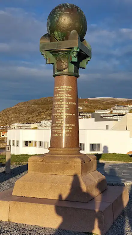
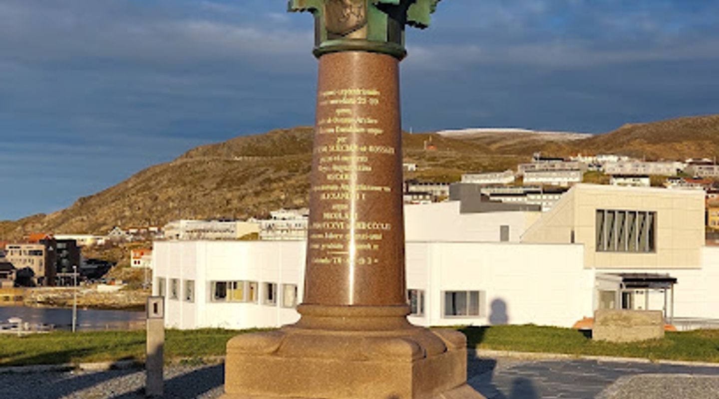
Explore the Struve Geodetic Arc in Hammerfest, Norway, a UNESCO World Heritage Site that highlights the history of geodesy and offers stunning coastal views.
The Struve Geodetic Arc in Hammerfest is a UNESCO World Heritage Site showcasing the scientific achievements of the 19th century. This remarkable landmark stretches across multiple countries and offers a glimpse into the history of geodesy, making it a must-visit for tourists intrigued by science and history.
A brief summary to The Struve Geodetic Arc Norway
- Close to Meridiangata 10 You will find the obelisk at Fuglenes Kirkegata 19, exhibition, Hammerfest, 9601, NO
- Click to display
- Click to display

Know before you go
Hi, I'm Eve. Here are a few practical things to know before exploring The Struve Geodetic Arc Norway.
- Visit during the summer months for the best weather and extended daylight.
- Take a guided tour to learn more about the historical significance of the Struve Geodetic Arc.
- Bring binoculars for birdwatching opportunities along the coast.
- Don't forget to check out the nearby exhibition for more insights into the geodetic work.
- Dress in layers, as the weather can change quickly in this northern location.
Do you manage this location?
Take control to get all the benefits, like improved information, better appearance, and stronger visibility across AI-powered discovery. Learn more about listing your business on Evendo
Activate your presenceOther nearby places you may find interesting
The closest places of the same kind, if this one is not quite what you had in mind.



Explore The Struve Geodetic Arc Norway on the Map
A handpicked selection of must-see spots near The Struve Geodetic Arc Norway, mapped for you.
Getting There
-
Car
If you are driving from Alta, take the E6 highway heading north. Continue on E6 until you reach the junction with Route 94 towards Hammerfest. Follow Route 94 for approximately 100 km until you arrive in Hammerfest. Once in Hammerfest, navigate to Fuglenes Kirkegata 19, where the obelisk is located. There is ample parking available nearby.
-
Public Transportation
To reach The Struve Geodetic Arc via public transportation, take a bus from Alta to Hammerfest. Buses frequently operate on this route, and the journey takes about 2.5 to 3 hours. Once you arrive at the Hammerfest bus station, you can walk to Fuglenes Kirkegata 19, which is approximately a 15-minute walk. Simply head south on Storgata, turn left onto Meridiangata, and continue until you reach Fuglenes Kirkegata.
-
Walking
If you are already in Hammerfest and want to walk to The Struve Geodetic Arc, locate the nearest bus or taxi service to get to Fuglenes Kirkegata 19. From Hammerfest's central area, it's approximately a 20-minute walk. Head towards the waterfront and follow the signs to Fuglenes Kirkegata, where the obelisk is located. Ensure you have comfortable walking shoes as some paths may be uneven.
Discover more about The Struve Geodetic Arc Norway
More to explore near The Struve Geodetic Arc Norway













Your all‑in‑one travel companion app
Explore expert travel guides, compare and book tours, experiences, hotels, and more—all from the palm of your hand. Download now for seamless trip planning wherever your wanderlust takes you.


Explore More of Finnmark
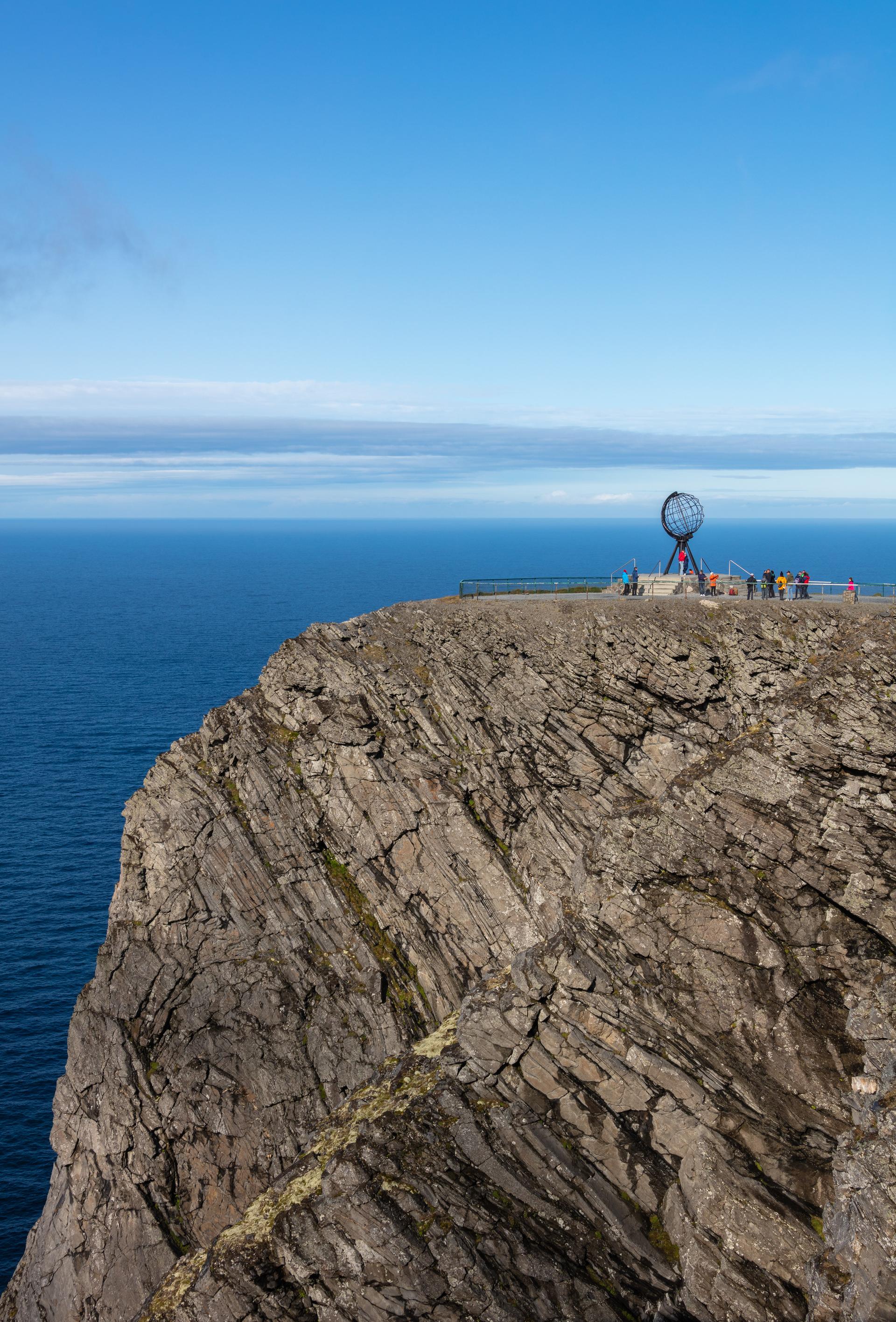
Looking beyond The Struve Geodetic Arc Norway? Discover Finnmark for broader travel guides, local hot-spots, and regional highlights.
Explore Finnmark
Experience modern comfort in Rypefjord's holiday apartment, your perfect base to explore Norway's stunning landscapes and rich culture.
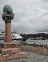
Explore Meridianstøtten in Hammerfest, a UNESCO World Heritage Site that symbolizes the precision of geodesy and the beauty of the Arctic landscape.