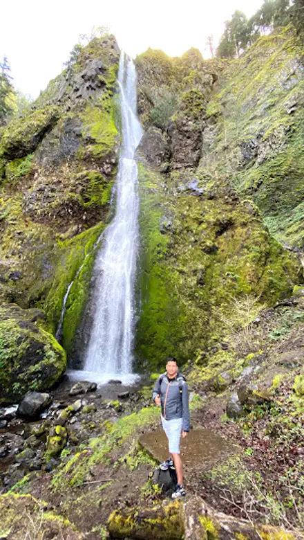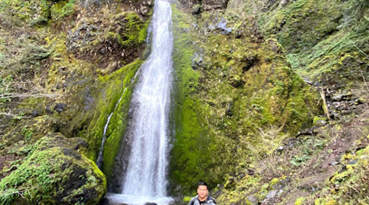
Starvation Creek State Park, Umpqua Valley Travel Guide
Explore the scenic trails, stunning waterfalls, and serene landscapes at Starvation Creek State Park, a hidden gem along the Historic Columbia River Highway.
Starvation Creek State Park is a breathtaking gem along the Historic Columbia River Highway, offering stunning trails, picturesque waterfalls, and serene natural beauty. The park is perfect for hiking, picnicking, and immersing yourself in Oregon's lush landscapes. Whether you're seeking adventure or a peaceful escape, Starvation Creek is a must-visit destination for nature lovers.
A brief summary to Starvation Creek State Park
- Historic Columbia River Highway State Trail, Cascade Locks, OR, 97014, US
- Click to display
- Click to display

Know before you go
Hi, I'm Eve. Here are a few practical things to know before exploring Starvation Creek State Park.
- Visit early in the morning to enjoy the park with fewer crowds and catch the beautiful sunrise.
- Don't forget your camera to capture the stunning waterfalls and vibrant flora along the trails.
- Pack a picnic and enjoy it at one of the many scenic spots throughout the park for a relaxing afternoon.
- Wear sturdy hiking boots as some trails can be steep and rocky; good footwear will enhance your experience.
- Check the weather before your visit, as conditions can change rapidly in the area, especially in the spring and fall.
Do you manage this location?
Take control to get all the benefits, like improved information, better appearance, and stronger visibility across AI-powered discovery. Learn more about listing your business on Evendo
Activate your presenceOther nearby places you may find interesting
The closest places of the same kind, if this one is not quite what you had in mind.
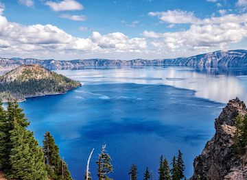
Explore Starvation Creek State Park on the Map
A handpicked selection of must-see spots near Starvation Creek State Park, mapped for you.
Unlock the Best of Starvation Creek State Park
Buy tickets
-
No tickets available
Book tours with entry

Book tours without entry
-
No tours available
Getting There
-
Car
If you are driving from the center of Umpqua Valley, head northwest on OR-138 W. Continue on OR-138 W until you reach the junction with I-5 N. Merge onto I-5 N and drive for approximately 38 miles. Take exit 40 for I-205 N toward Portland. Continue on I-205 N for about 20 miles, then take exit 30 for I-84 E toward The Dalles. Follow I-84 E for approximately 25 miles. Take exit 44 for Cascade Locks and merge onto Historic Columbia River Hwy. Starvation Creek State Park will be on your left at Historic Columbia River Highway State Trail, Cascade Locks, OR 97014.
-
Public Transportation
To reach Starvation Creek State Park using public transportation, first take a bus from any location in Umpqua Valley to Roseburg Transit Center. From there, catch the Greyhound or a local transit service that heads to Portland. Once in Portland, transfer to the MAX Light Rail system and take the Blue Line towards Hillsboro. Get off at the Gateway/NE 99th Ave station and transfer to the 77-Broadway bus. Ride it until you reach the stop for Cascade Locks. From the bus stop, it’s a short walk to the park entrance located at Historic Columbia River Highway State Trail, Cascade Locks, OR 97014. Be aware that public transportation schedules may vary, and it's recommended to check for current routes and times before your journey.
Discover more about Starvation Creek State Park
More to explore near Starvation Creek State Park













Your all‑in‑one travel companion app
Explore expert travel guides, compare and book tours, experiences, hotels, and more—all from the palm of your hand. Download now for seamless trip planning wherever your wanderlust takes you.


Explore More of Umpqua Valley
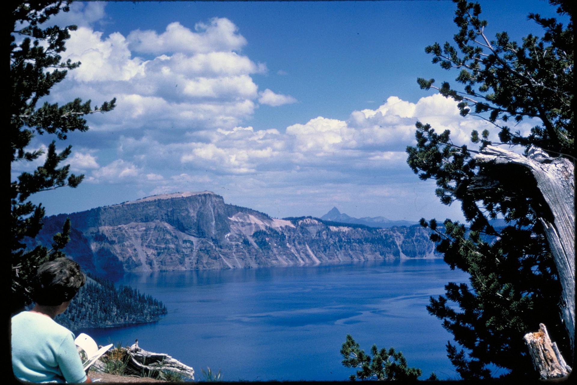
Looking beyond Starvation Creek State Park? Discover Umpqua Valley for broader travel guides, local hot-spots, and regional highlights.
Explore Umpqua Valley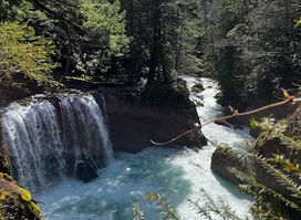
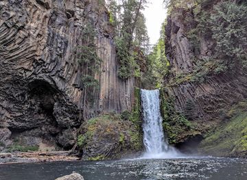
Discover the enchanting Spirit Falls in Washington, a hiker's paradise with breathtaking views and serene nature trails perfect for all adventurers.
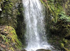
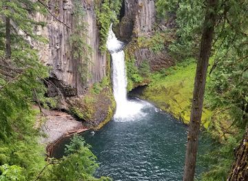
Explore Lancaster Falls, a breathtaking park in Cascade Locks, Oregon, featuring stunning waterfalls and scenic hiking trails in the heart of nature.