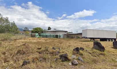
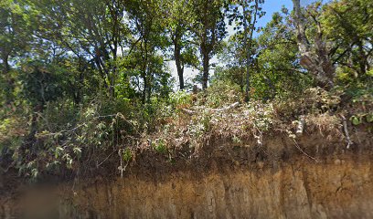
Discover the Majestic Sendero Cerro Artillería
Explore the stunning Sendero Cerro Artillería in Chiriquí Province - a hiker's paradise with breathtaking views and rich biodiversity.
Sendero Cerro Artillería, nestled in the heart of Chiriquí Province, is a breathtaking hiking area that promises stunning panoramic views, diverse flora and fauna, and an invigorating escape into nature. Ideal for both novice and experienced hikers, this scenic trail provides a range of paths that cater to all skill levels, allowing visitors to immerse themselves in the vibrant beauty of the lush surroundings.
A brief summary to Sendero Cerro Artillería
- QJG6+9G, Jaramillo, Chiriquí Province, PA
- +5076676-3487
Local tips
- Wear sturdy hiking boots to navigate potentially slippery areas.
- Start early in the morning to enjoy cooler temperatures and fewer crowds.
- Bring plenty of water and snacks, as there are limited facilities on the trail.
- Consider bringing binoculars for bird watching and wildlife spotting.
- Check local weather conditions before your visit to ensure a safe hiking experience.
Getting There
-
Car
If you are traveling by car within Ngäbe-Buglé Comarca, start your journey by heading towards the town of Jaramillo. From the center of Jaramillo, follow the signs towards Cerro Artillería. The location coordinates are approximately 8.7720319 latitude and -82.3998903 longitude. You can use a GPS device or a maps application to navigate directly to QJG6+9G, Jaramillo, Chiriquí Province. Expect the road to be a mix of paved and unpaved, and be cautious as some areas may be steep or slippery. Parking is available near the trailhead.
-
Public Transportation
For those using public transportation, start at the main bus terminal in Ngäbe-Buglé Comarca. Look for buses heading to Jaramillo or nearby towns. The bus ride to Jaramillo typically takes around 1-2 hours, depending on traffic and the specific route. Once you arrive in Jaramillo, you may need to take a taxi or a local shared shuttle to reach the trailhead for Sendero Cerro Artillería. Make sure to communicate your destination to the driver, as they will be familiar with the area. The taxi fare should be negotiated beforehand, and it is advisable to expect around $5-10 for the short ride.
-
Hiking
If you are already in the vicinity of Sendero Cerro Artillería and prefer to hike, ensure you have appropriate footwear and supplies. The trailhead can be reached by walking from Jaramillo, which is a 30-minute to 1-hour trek depending on your pace. Follow local paths and look for trail markers that lead you to the hiking area. Always ask locals for the best hiking routes and to confirm you are on the right path.
Discover more about Sendero Cerro Artillería
Iconic landmarks you can’t miss
Sendero Cerro Artillería
0.0 km
Explore the stunning Sendero Cerro Artillería in Chiriquí Province - a hiker's paradise with breathtaking views and rich biodiversity.
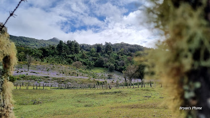
Los Establos Panama
2.5 km
Experience luxury and adventure in the heart of Boquete at Los Establos Panama, where stunning views and exceptional service await.

Coffee Estate Inn
3.0 km
Discover tranquility and coffee culture at Coffee Estate Inn, nestled in the breathtaking hills of Boquete, Panama, where nature and relaxation meet.

La Taberna Española
3.3 km
Savor the taste of Spain in Boquete at La Taberna Española, where authentic dishes meet a warm, inviting atmosphere amidst stunning views.
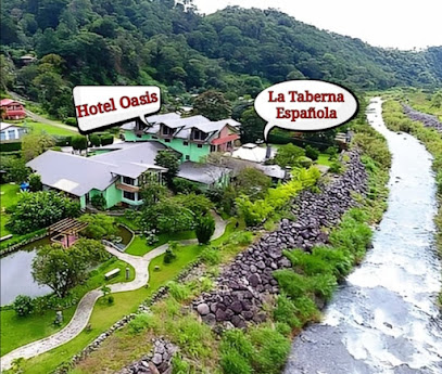
TapOut
3.4 km
Experience the vibrant flavors of TapOut in Bajo Boquete, a grill paradise where delicious dishes and friendly vibes await every traveler.
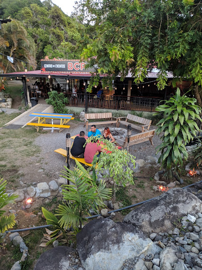
Olga's
3.6 km
Discover the flavors of Panama at Olga's, a charming restaurant in Boquete offering delicious dishes in a warm and inviting atmosphere.
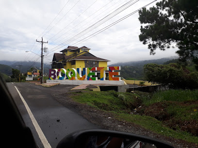
Segundo Frente Terraza y Snackbar
3.6 km
Experience the vibrant flavors of Bajo Boquete at Segundo Frente Terraza y Snackbar, where local cuisine meets a cozy gastropub atmosphere.
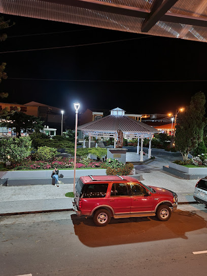
Sugar and Spice Boquete
3.6 km
Discover Sugar and Spice Boquete, a bakery paradise offering fresh pastries and a delightful breakfast experience in the heart of Panama's beautiful Chiriquí Province.
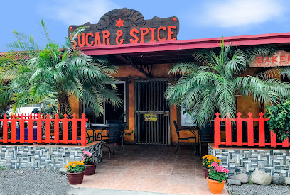
Beyond Adventure Tours
3.6 km
Embark on unforgettable adventures in Boquete with Beyond Adventure Tours, where nature and culture come together in the heart of Panama.
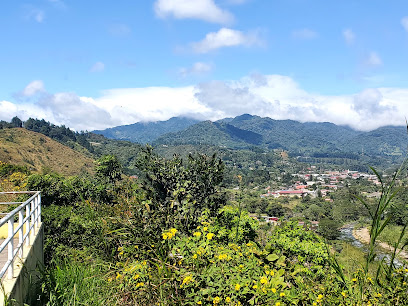
Buckle Tip Coffee Studio
3.6 km
Experience the rich flavors of Panama at Buckle Tip Coffee Studio, a cozy café in Boquete offering exceptional brews and stunning mountain views.
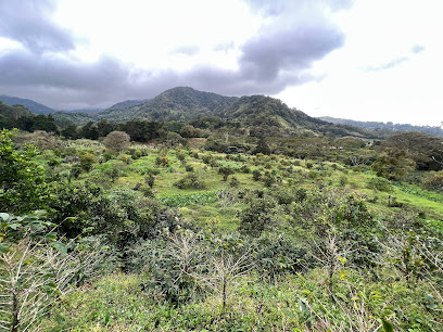
Kotowa Coffee House - Los Establos
3.6 km
Indulge in the rich flavors of Panama at Kotowa Coffee House, a must-visit café in Boquete for coffee lovers and tourists.
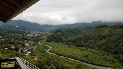
Selina Boquete
3.6 km
Experience the beauty of Boquete at Selina, where comfort meets adventure in Panama's lush landscapes.
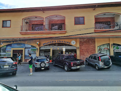
Gelateria La Ghiotta
3.6 km
Discover the magic of authentic Italian gelato at Gelateria La Ghiotta in Bajo Boquete, where every scoop is a taste of paradise.
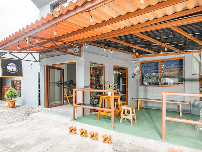
The Perfect Pair Coffee & Chocolate
3.7 km
Experience the rich flavors of artisanal coffee and handcrafted chocolates at The Perfect Pair Coffee & Chocolate in beautiful Boquete, Panama.
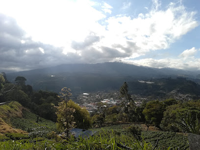
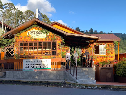
RetroGusto Restaurant & Bar
3.7 km
Experience authentic Italian and Mediterranean cuisine in the heart of Bajo Boquete, where every dish is crafted with health and flavor in mind.
Unmissable attractions to see
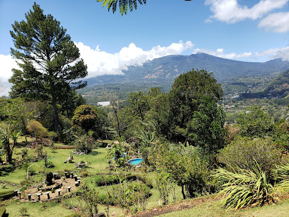
El Explorador
2.9 km
Explore El Explorador, a premier tourist attraction in Chiriquí showcasing culture, biodiversity, and stunning landscapes for an unforgettable experience.
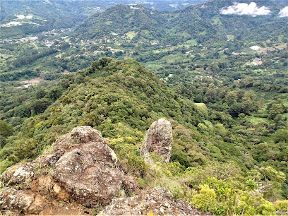
Piedra del Musgo
2.9 km
Explore the hidden paradise of Piedra del Musgo in Chiriquí, Panama – an unmarked hiking area perfect for nature lovers and adventurers seeking tranquility.
Parque Biblioteca Boquete
3.4 km
Discover the serene beauty and cultural richness of Parque Biblioteca Boquete, an ecological paradise in the heart of Panama's lush landscapes.
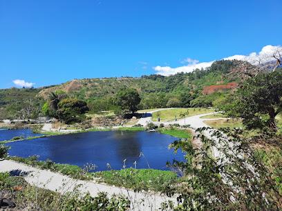
Boquete, Chiriqui. Library Park
3.4 km
Experience the tranquility and cultural richness of Library Park in Boquete, a scenic retreat in Panama's breathtaking Chiriquí Province.
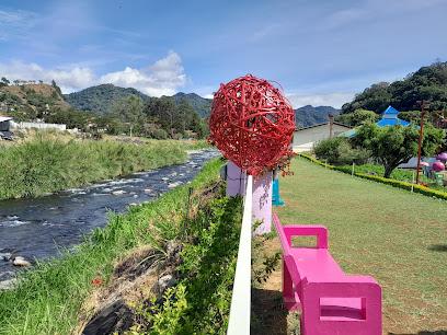
Domingo Medica Park
3.6 km
Discover tranquility and natural beauty at Domingo Medica Park in Boquete, a serene escape perfect for relaxation and exploration amidst lush landscapes.
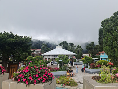
Only WhatsApp or call (online service) U-Rides BQT We Deliver: E-Bikes, Bicycles - Tours & Rental
3.6 km
Experience the breathtaking landscapes of Boquete, Panama, with U-Rides BQT - your go-to for bicycle and e-bike rentals, tours, and adventure.
Biblioteca de Boquete
3.6 km
Explore the Biblioteca de Boquete, a peaceful library in Panama offering a rich collection of books, art, and community events in a serene setting.
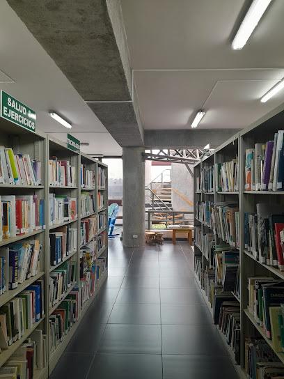
Boquete Outdoor Adventures
3.6 km
Discover the breathtaking beauty of Boquete with expert-guided outdoor adventures, from thrilling hikes to serene nature walks in Chiriquí Province.
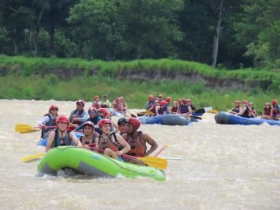
Boquete Brewing Company
3.7 km
Experience the best of local craft beer and vibrant culture at Boquete Brewing Company in the scenic town of Boquete, Panama.
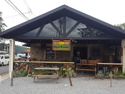
Boquete Tree Trek Mountain Resort
4.2 km
Experience the ultimate adventure at Boquete Tree Trek Mountain Resort, where ziplining and hiking meet the stunning cloud forests of Panama.

Ecoparque Cerro la Cruz
4.3 km
Discover the breathtaking beauty of Ecoparque Cerro la Cruz in Boquete, the perfect destination for nature lovers and adventure seekers.
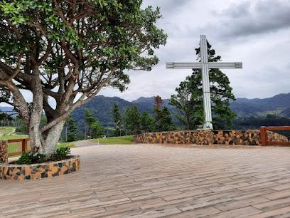
SCHUMANN'S RESORT & PARK
4.5 km
Immerse yourself in the tranquil beauty of Schumann's Resort & Park, a stunning botanical garden and wildlife refuge in Alto Boquete, Panama.

Boquete Bees and Butterflies
4.9 km
Explore the enchanting world of bees and butterflies at Boquete Bees and Butterflies in Panama, where nature meets sweetness.

Boquete
5.3 km
Discover the breathtaking beauty and vibrant culture of Boquete, Panama's enchanting highland escape known for its coffee, flora, and outdoor adventures.
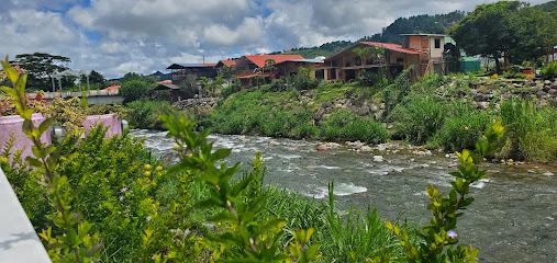
Jungla de Panama Wildlife Refuge
6.7 km
Explore the breathtaking biodiversity of Jungla de Panama Wildlife Refuge, a premier tourist attraction in Chiriquí Province, Panama.
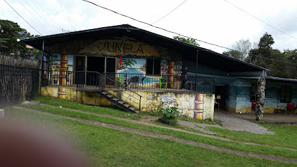
Essential places to dine
Restaurante Basar
2.4 km
Experience authentic Israeli cuisine and diverse flavors at Restaurante Basar in beautiful Bajo Boquete, Panama.
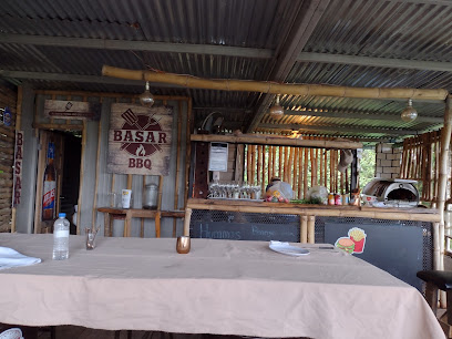
The House Restaurant
3.2 km
Discover authentic Panamanian cuisine at The House Restaurant in Boquete - where every meal is a celebration of local flavors.
Restaurante El Puente
3.3 km
Discover authentic Panamanian cuisine at Restaurante El Puente in Boquete—where every meal is an unforgettable experience.
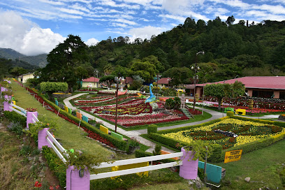
PiPub Restaurant Bar
3.4 km
Experience the best grill cuisine in Boquete at PiPub Restaurant Bar, where flavor meets fun in a vibrant setting.
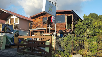
Cafe Boquete By Big Food Grill
3.5 km
Discover Café Boquete By Big Food Grill – where local flavors meet culinary excellence in the heart of Panama's beautiful Chiriquí Province.
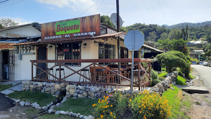
Restaurante Al Punto Cucina Mediterranea
3.5 km
Experience authentic Mediterranean flavors at Restaurante Al Punto Cucina Mediterranea in scenic Boquete, where every meal is a celebration of local ingredients.

Malu Cafe & Bakery
3.5 km
Discover Malu Cafe & Bakery in Boquete for fresh pastries, gourmet coffee, and local flavors amidst stunning mountain views.
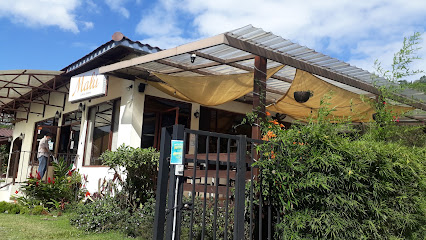
Bamboo Restaurant & Bar
3.6 km
Discover authentic Panamanian flavors at Bamboo Restaurant & Bar in Boquete - your go-to destination for delightful culinary experiences.
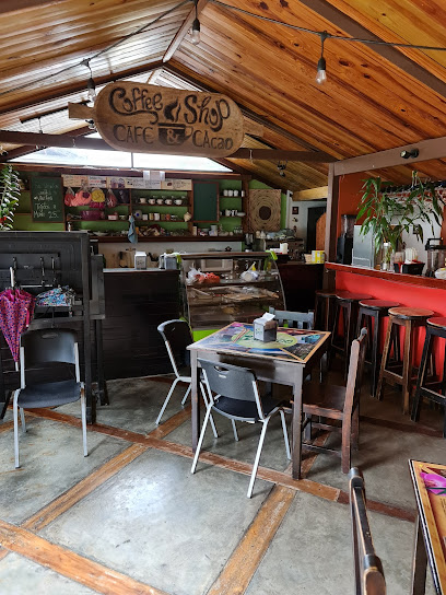
Central Park Restaurante
3.6 km
Experience authentic Panamanian flavors at Central Park Restaurante in Boquete - a culinary gem amidst stunning natural beauty.
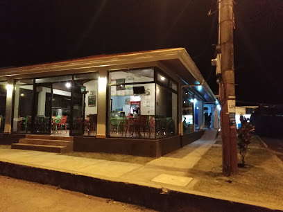
Tacos Rudos Bqt
3.6 km
Discover the essence of Mexico at Tacos Rudos Bqt in Boquete - A culinary adventure awaits you!
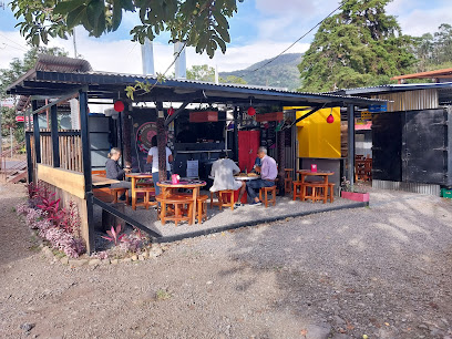
Red Five
3.6 km
Discover authentic Panamanian cuisine at Red Five - a culinary gem in Boquete's vibrant central park.
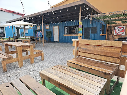
The Fish House
3.6 km
Experience fresh seafood and stunning mountain views at The Fish House in Boquete - A must-visit culinary destination.
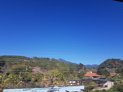
Big Daddy's Grill
3.6 km
Experience the vibrant flavors of Panama at Big Daddy's Grill, where every meal is a celebration of local culinary delights.
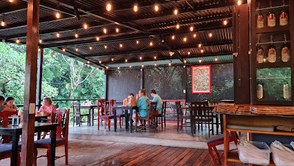
El Sabrosón #1
3.6 km
Discover authentic Panamanian flavors at El Sabrosón #1 in Boquete—where delicious meals meet warm hospitality.
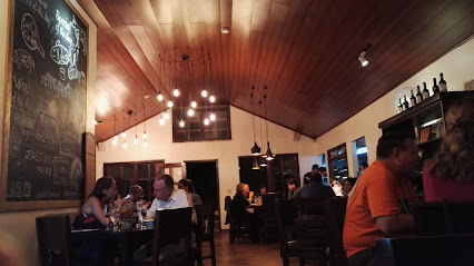
Mike's Global Grill
3.6 km
Discover diverse flavors at Mike's Global Grill in Boquete - where Panamanian cuisine meets global tastes for an unforgettable dining experience.
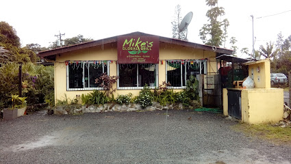
Markets, malls and hidden boutiques
Aura Store
3.2 km
Experience the vibrant culture of Boquete at the Aura Store, your destination for unique handicrafts and local artistry in Panama.
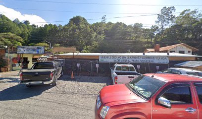
Centro artesanal de boquete
3.3 km
Explore local craftsmanship at the Centro Artesanal de Boquete, a vibrant marketplace for unique handcrafted goods in Panama's scenic Chiriquí Province.
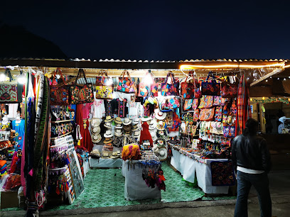
RICHES OF PANAMA Art Stones and Souvenirs
3.4 km
Explore RICHES OF PANAMA for unique art stones and souvenirs that embody the vibrant culture and craftsmanship of Panama.
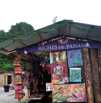
Dayana Boquete
3.4 km
Explore a vibrant shopping experience at Dayana Boquete, where local artisan crafts meet everyday essentials in the heart of Chiriquí.
Neufeld Novias
3.4 km
Discover your dream wedding dress at Neufeld Novias, a premier bridal shop in Boquete, offering personalized service and exquisite designs.
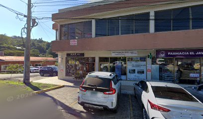
Boqueteando Market Store
3.4 km
Explore the Boqueteando Market Store for unique gifts and local crafts that embody the spirit of Panama's rich culture and artistry.
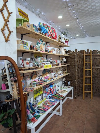
Mi Lindo Boquete
3.5 km
Discover authentic Panamanian crafts and unique souvenirs at Mi Lindo Boquete, the perfect place to find traditional gifts from Chiriquí Province.

Detalles De Boquete
3.5 km
Explore Detalles De Boquete for unique souvenirs that embody the spirit of Panama's culture and artistry in the heart of Bajo Boquete.
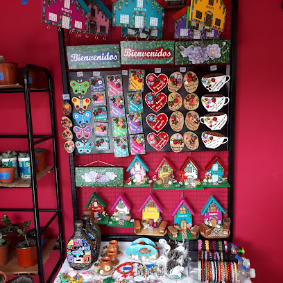
The Gift Shop by Neydi Tom
3.5 km
Discover unique treasures at The Gift Shop by Neydi Tom, where local craftsmanship meets the charm of Boquete in every purchase.

Mercadito Mario
3.5 km
Explore Mercadito Mario in Boquete for a taste of local culture, artisan crafts, and authentic Panamanian products in an inviting atmosphere.

Floristería Boutique V&C
3.5 km
Explore the charm of Boquete at Floristería Boutique V&C, where exquisite floral arrangements meet unique local gifts in a vibrant market setting.
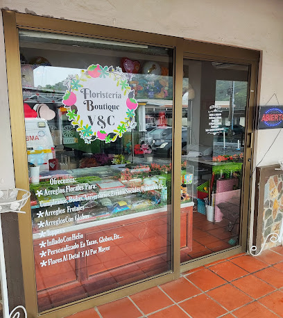
BK BOUTIQUE & HAIR SALOON
3.6 km
Explore the chic fashion offerings at BK Boutique & Hair Saloon in Boquete, where style meets personal care in a vibrant atmosphere.

Anita Perla Boquete Local 30, Mercado Municipal de Boquete.
3.6 km
Explore Anita Perla Boquete: Your Destination for Authentic Souvenirs and Local Delights in the Heart of Boquete's Mercado Municipal.
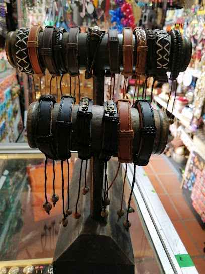
Boquete Tesoros y Souvenirs
3.6 km
Explore the charm of Panama through unique crafts and souvenirs at Boquete Tesoros y Souvenirs, where local artistry meets vibrant culture.
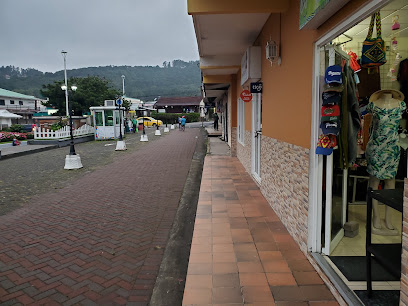
Isabella's Shop Bqt
3.6 km
Discover unique clothing inspired by Boquete's vibrant culture at Isabella's Shop Bqt, a must-visit boutique in the heart of Panama.
Essential bars & hidden hideouts
¡VAMOS! Brewing - Taquería y Cerveza Artesanal
3.3 km
Savor authentic Mexican flavors paired with artisanal craft beers at ¡VAMOS! Brewing, a must-visit brewpub in the heart of Boquete, Panama.
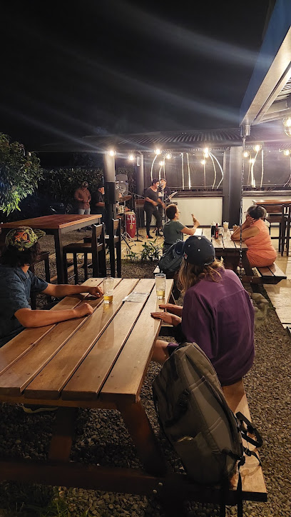
Restaurante -Bar , Asados Término Medio
3.4 km
Discover the vibrant flavors of Panama at Asados Término Medio in Boquete, where expertly grilled meats meet a lively atmosphere.
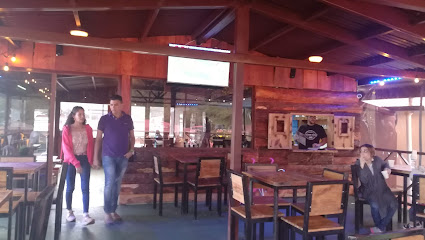
RiverMoon Bar Rest
3.5 km
Discover the cozy charm of RiverMoon Bar Rest in Boquete, where local flavors and a welcoming atmosphere await your visit.
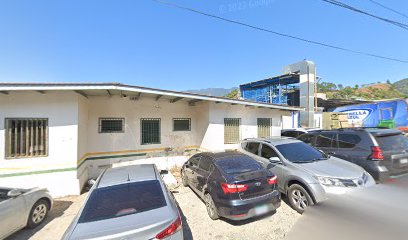
Bar Nacional
3.5 km
Experience the vibrant nightlife and local flavors at Bar Nacional in Boquete, a must-visit destination for every traveler exploring Panama.
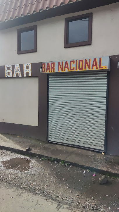
Winner's Club Boquete
3.6 km
Discover the lively nightlife and vibrant community at Winner's Club Boquete, where locals and tourists come together for an unforgettable experience.
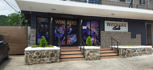
Bar Restaurante La Parada
3.7 km
Discover the lively spirit of Boquete at Bar Restaurante La Parada, offering local drinks, tapas, and a warm community vibe.
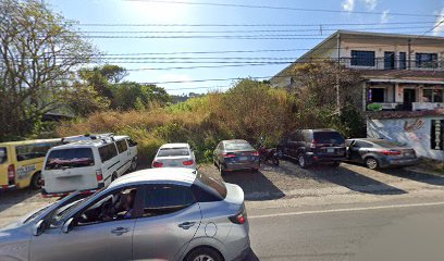
Taboo
3.7 km
Discover the lively atmosphere of Taboo in Bajo Boquete, a perfect spot for drinks, music, and breathtaking views in Chiriquí Province.
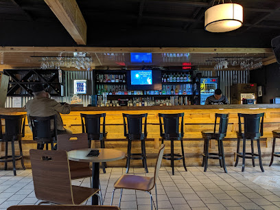
Viticos bar y discoteca
3.7 km
Discover the lively atmosphere of Viticos Bar y Discoteca in Bajo Boquete, a vibrant hotspot for nightlife and local culture in Panama.
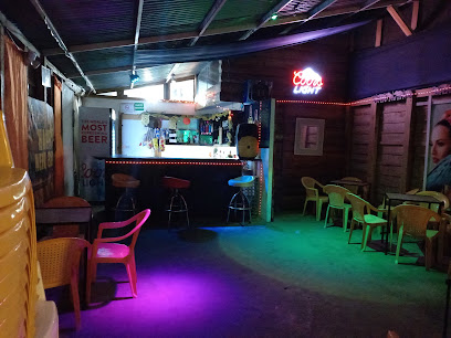
Bar La Cantina
4.7 km
Experience vibrant nightlife and local drinks at Bar La Cantina in beautiful Boquete, Panama.
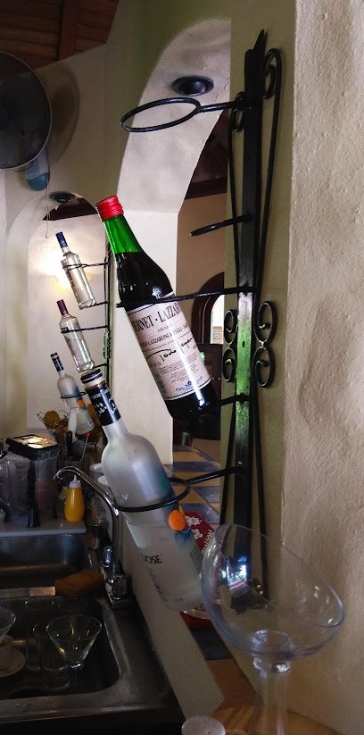
Queroum
5.4 km
Experience the lively atmosphere of Queroum in Boquete, where refreshing drinks and local culture blend seamlessly for an unforgettable night out.
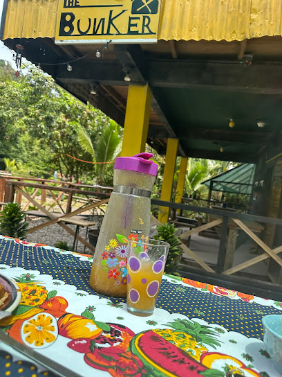
THE BUNKER Restaurante
23.1 km
Experience authentic Panamanian cuisine at The Bunker Restaurante in the beautiful Ngöbe Buglé region, where local flavors meet warm hospitality.
Bar Fahrenheit
25.7 km
Discover the vibrant nightlife at Bar Fahrenheit in Volcán, where eclectic drinks and lively music create an unforgettable experience in Chiriquí Province.

Antaño Coffee Restaurant
25.7 km
Discover the heart of Panama's coffee culture at Antaño Coffee Restaurant in Volcán - where tradition meets taste.

Max’s Treehouse Bar & Lounge
25.8 km
Experience the enchanting Max’s Treehouse Bar & Lounge in Chiriquí, where vibrant nightlife meets the tranquility of nature.
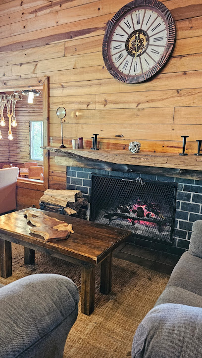
Turicentro Gallistico De Volcan
25.9 km
Visit Turicentro Gallistico De Volcan for a taste of local flavors and a vibrant atmosphere amidst the stunning Chiriquí landscapes.
