Jämtlandstriangeln, Harjedalen Travel Guide
Traverse Sweden's beloved 47 km mountain triangle: Storulvån to Sylarna and Blåhammaren, where alpine trails meet cozy lodges in Jämtland's pristine peaks.
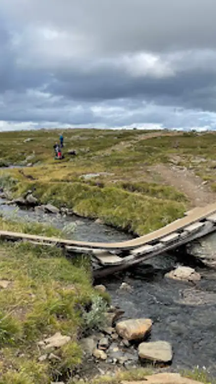
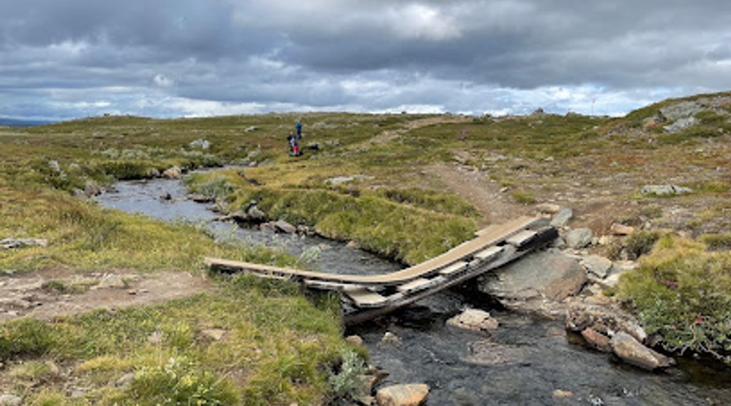
Jämtlandstriangeln, Sweden's iconic 47 km hiking triangle in the Jämtland mountains, links three STF mountain stations: Storulvån, Sylarna, and Blåhammaren. This accessible multi-day trek winds through birch forests, open plateaus, and alpine vistas, offering gentle ascents, streams, and stunning peaks for hikers of varying skill levels. Comfortable lodges provide meals and shelter amid pristine wilderness near the Norwegian border.
A brief summary to Jämtlandstriangeln
- 831 41 STORULVÅN, Björkbackavägen 14, Östersund, 831 43, SE
- Click to display
- Click to display
- Duration: 2 to 4 hours
- Budget
-
 Outdoor
- Mobile reception: 3 out of 5

Know before you go
Hi, I'm Eve. Here are a few practical things to know before exploring Jämtlandstriangeln.
- Book STF lodge accommodations well in advance, especially for half-board meals including hearty Swedish fare like reindeer stew.
- Pack layers for rapid weather changes; rain gear and sturdy boots are essential on exposed plateaus.
- Fill water bottles from streams, but treat if needed; lodges sell provisions for self-caterers.
- Extend your hike with a side trip to Storsylen peak for Norway-border views and 900m elevation gain.
Do you manage this location?
Take control to get all the benefits, like improved information, better appearance, and stronger visibility across AI-powered discovery. Learn more about listing your business on Evendo
Activate your presenceOther nearby places you may find interesting
The closest places of the same kind, if this one is not quite what you had in mind.
Explore Jämtlandstriangeln on the Map
A handpicked selection of must-see spots near Jämtlandstriangeln, mapped for you.
Getting There
-
Car
Drive from Enafors via Handöl on a gravel road to Storulvån Fjällstation, 17 km total, 30-45 minutes; large paid parking available at the station, suitable for standard vehicles in summer.
-
Bus
Take a seasonal bus from Östersund or Duved to Storulvån, 2.5-3 hours depending on connections, fares around 300-500 SEK; limited summer schedules, check STF for availability.
-
Train + Bus
Arrive by train to Duved station, then transfer to shuttle bus to Storulvån, total 3-4 hours from Östersund, train tickets 200-400 SEK plus bus 150 SEK; reliable in peak season.
For the on-the-go comforts that matter to you
-
 Drinking Water
-
 Food Options
-
 Seating Areas
-
 Trash Bins
-
 Information Boards
Discover more about Jämtlandstriangeln
Storulvån Trailhead Gateway
Nestled in Jämtland's rugged heart, Storulvån Fjällstation serves as the classic starting point for Jämtlandstriangeln. This mountain lodge anchors the 47 km loop, welcoming hikers with its sturdy architecture amid whispering birch groves and the rush of Lill-Ulvån river. Paths depart gently uphill, crossing a suspension bridge into vast openness where the air carries the scent of pine and damp earth.Sylarna's Majestic Silhouette
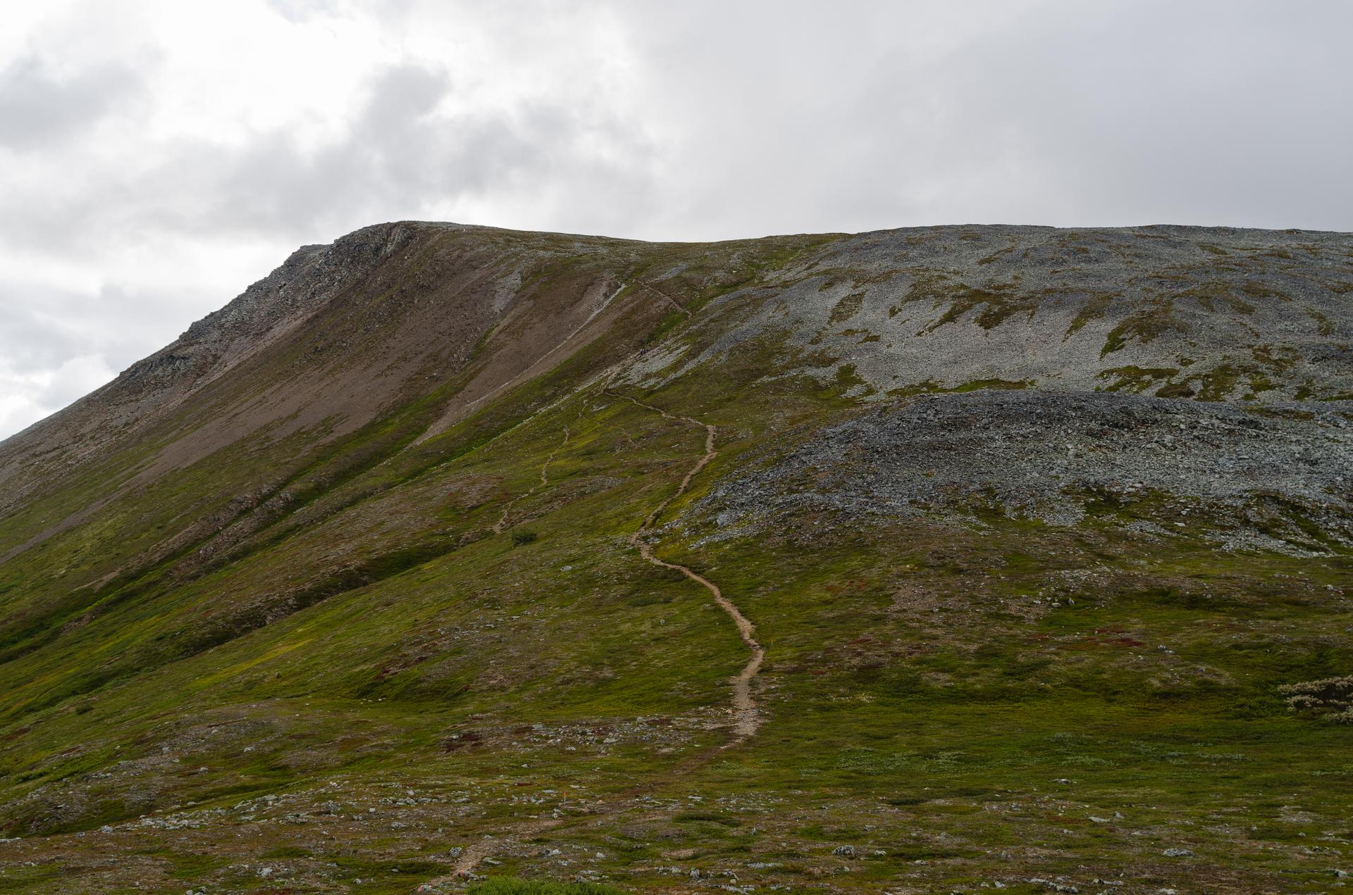
The first leg to Sylarna Fjällstation spans 16 km over 5-7 hours, tracing above the treeline with steady inclines and panoramic rewards. Sylarna's jagged peaks rise dramatically, framing horizons that blend Swedish highlands with Norwegian glimpses. Streams crisscross the trail, inviting pauses at wind shelters like Spåjme, where the landscape unfolds in layers of green valleys and rocky sentinels.Blåhammaren's Rolling Heights
From Sylarna, the 19 km stretch to Blåhammaren demands 6-8 hours across undulating terrain. Descend to Enan, then climb through rolling expanses dotted with alpine flora. Turn for lingering views of Sylarna's massif, and rest at Enkälen shelter amid the symphony of wind-swept grasses. Blåhammaren perches at 1,086 meters, its station offering respite with vistas stretching to infinity.Closing the Loop in Wilderness
The final 12 km return to Storulvån takes 4-5 hours, easing downhill through open plateaus. This segment showcases the triangle's serene diversity: crystal streams, hardy heather blooms, and distant peaks under vast skies. The route embodies Scandinavian fjäll—high plateaus where weather shifts swiftly, painting the scene in fleeting lights and shadows.Alpine Ecology and Seasons
Jämtlandstriangeln thrives in a unique ecosystem of the Scandinavian mountains, home to resilient mosses, lichens, and summer wildflowers. Reindeer roam freely, their bells echoing faintly. Summer brings endless daylight for treks; autumn gilds the birches; winter transforms paths into snowshoe realms with northern lights overhead, though trails demand preparation for variable conditions.












Your all‑in‑one travel companion app
Explore expert travel guides, compare and book tours, experiences, hotels, and more—all from the palm of your hand. Download now for seamless trip planning wherever your wanderlust takes you.


Explore More of Harjedalen
Looking beyond Jämtlandstriangeln? Discover Harjedalen for broader travel guides, local hot-spots, and regional highlights.
Explore Harjedalen