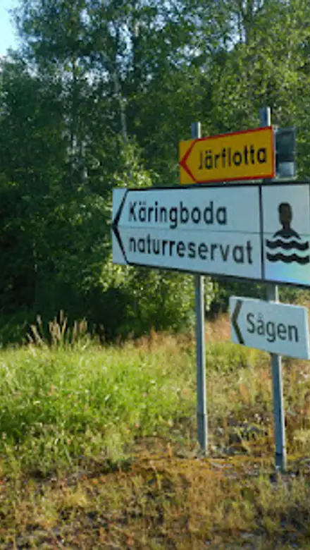
Käringboda Travel Guide
Free Guide: Discover Södertörn's coastal wilds: pine-scented trails, cliff-top vistas, sheep-grazed meadows, and Baltic swims in a 1,500-hectare haven of forests and shores.


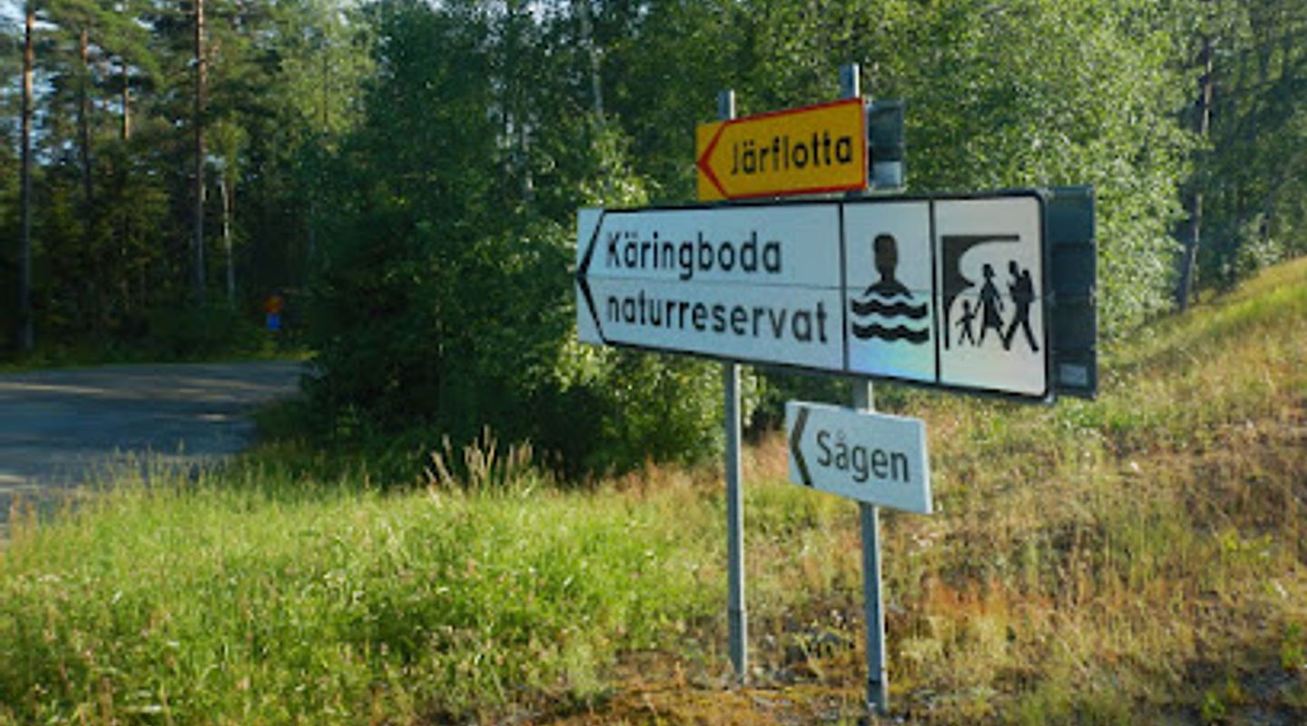
A brief summary of Käringboda
Discover Södertörn's coastal wilds: pine-scented trails, cliff-top vistas, sheep-grazed meadows, and Baltic swims in a 1,500-hectare haven of forests and shores.
Käringboda Nature Reserve spans 1,500 hectares on Södertörn's southern tip near Nynäshamn, blending ancient pine forests, blueberry-rich woods, open cliffs, and coastal meadows grazed by sheep. Established in 1974 and managed by Skärgårdsstiftelsen, it offers an 8km main hiking loop, viewpoints like Vinsberget, swimming spots at Nynäsviken and Gravamaren, and a network of trails through diverse landscapes. Ideal for serene walks amid Baltic inlets, with restored paths enhancing accessibility while preserving wildlife habitats.
On-site amenities
 Drinking water
 Seating areas
 Trash bins
 Information boards
 Picnic areas
Opening hours
- Every dayOpen 24 hours
Opening hours as listed on the venue’s Google Business Profile. Hours can change for services and special events, so check with the venue before you go.
- Address
- 149 91 Nynäshamn
- Phone
- Website
Getting there
Bus
Train + Bus
Car
Walking
Discover more about Käringboda
Coastal Mosaic of Forests and Meadows
Käringboda Nature Reserve unfolds across 1,494 hectares, with 1,074 hectares of land hugging the rugged shores of Södertörn's southern peninsula. This well-preserved archipelago landscape features small fields, sheep-grazed meadows, and strandängar that evoke Sweden's traditional coastal heritage. In the north, dense blueberry-laden pine forests dominate, their soft floors inviting quiet exploration, while open cliffs drop dramatically to Baltic inlets, framing panoramic sea views.The reserve's dual character shines through: northern areas bustle with cultural remnants like the historic torp of Norra and Södra Käringboda, once under Järflotta farm, now integrated into the wild expanse. Southward, the terrain turns more untamed, with tangled woods and secluded coves demanding adventurous spirits. Grazing animals at Långholm farm maintain open vistas, preventing overgrowth and sustaining biodiversity.
Network of Trails for Every Pace
A web of well-marked paths crisscrosses the reserve, centered on the red-marked 8km main loop that links secondary trails along old roads. Venture northwest on the red-and-white path to Vinsberget, a 67-meter summit offering sweeping vistas across Södertörn in all directions. The yellow trail from Grava parking stretches nearly 5km along Gravamarens shimmering waters, perfect for contemplative strolls.Longer loops, like the 21km circuit from Nynäsgård, weave through forests, viewpoints, and beaches, challenging hikers with moderate elevation gains amid easily accessible paths. Restoration efforts have refreshed markings and signage, ensuring intuitive navigation. These routes cater to all levels, from gentle rambles to immersive day treks, all while skirting sensitive habitats.
Seaside Swimming and Cliffside Solitude
Käringboda's shores beckon with prime swimming spots: Nynäsviken near the northern entry, sun-warmed slabs at Sågen's leisure house, and tranquil coves on Gravamaren's west side. Natural harbors at Rassaviken, Maren, and Gravamaren shelter kayaks and small boats, inviting water-bound escapes. Cliffs provide ideal perches for sunbathing, their granite faces etched by millennia of waves.Some facilities accommodate visitors with disabilities, blending accessibility with raw nature. These coastal gems contrast the inland forests, offering sensory shifts from shaded trails to salty breezes and pebble beaches, where the Baltic's chill meets sun-heated rocks.
Conservation and Living Landscapes
Protected since 1974 as a Natura 2000 site, Käringboda prioritizes friluftsliv—Sweden's love of outdoor life—while safeguarding coastal and cultural ecosystems. Managed by Skärgårdsstiftelsen, initiatives with WWF restore oak-rich woodlands and plan new wetlands, countering lost habitats. These efforts boost native flora and fauna, from birdlife to rare lichens thriving in the mix of conifer stands and deciduous groves.Rules preserve the peace: no fires outside designated spots, leashed pets only, and leave-no-trace principles ensure future generations inherit this pristine haven. The reserve's blend of managed meadows and wild fringes exemplifies balanced stewardship.
Evendo Review Centre
 Google
Guest reviews
Best time to go
Quietest: Jan, Feb & Dec · before 7am or from 8pm
Busy times are Evendo estimates for a typical year, to help you plan. Actual crowds vary with events, school holidays and the weather.
Explore Käringboda on the map
A handpicked selection of must-see spots near Käringboda, mapped for you.
Get your free copy of our complete guide to Käringboda, delivered straight to you.
Everything on this page, from opening hours and how to get there to Eve’s tips and the best time to go, in one PDF you can read offline, print or share.
Already have an account? Sign in
Your Käringboda guide is ready.
We'll send it to · Not you? Sign out

Getting your guide ready…
We are putting together a fresh copy of the Käringboda guide. This can take up to a minute.
This can take a few moments. If your browser asks, choose Allow so the download can start. You'll find the guide in your Downloads folder.
Nothing happened? Download it again
Sorry, the guide is taking longer than usual. Please try again in a minute, or get it by email instead.
Other nearby places you may find interesting
The closest places of the same kind, if this one is not quite what you had in mind.
-
-
-
-
-


Swipe for more places
More to explore near Käringboda

 Best experiences near Käringboda
 Best hotels near Käringboda
 Best landmarks near Käringboda
 Best attractions near Käringboda
 Best shops near Käringboda
 Best restaurants near Käringboda
 Best bars near Käringboda
Do you manage this location?
Take control to get all the benefits, like improved information, better appearance, and stronger visibility across AI-powered discovery.
Explore more
Explore more of Närke
Discover Närke, Sweden's heartland, where natural beauty meets rich history and vibrant culture, offering a tranquil yet enriching experience for every traveler.
Explore Närke
Explore more of Sweden
Discover Sweden's breathtaking landscapes, vibrant cities, and rich cultural heritage. From the Northern Lights to historic castles, experience the essence of Scandinavia.
Explore Sweden