Ormberget-Hertsölandet, Norrbotten Travel Guide
Accessible forest, mires and a central lake on Luleå’s doorstep — year-round trails, fishing and peaceful nature close to the city.
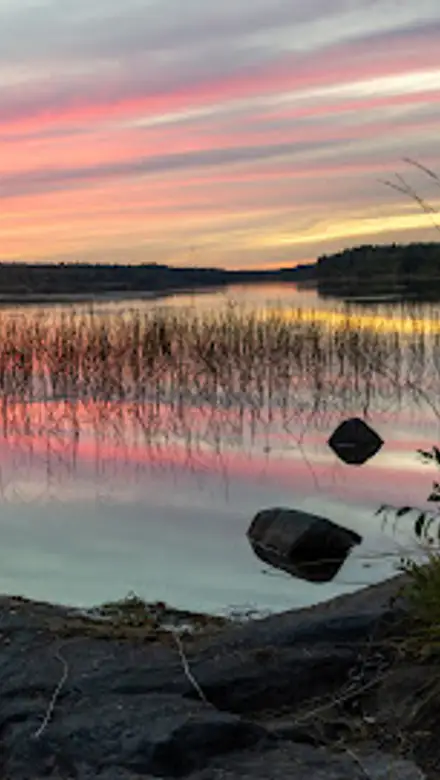
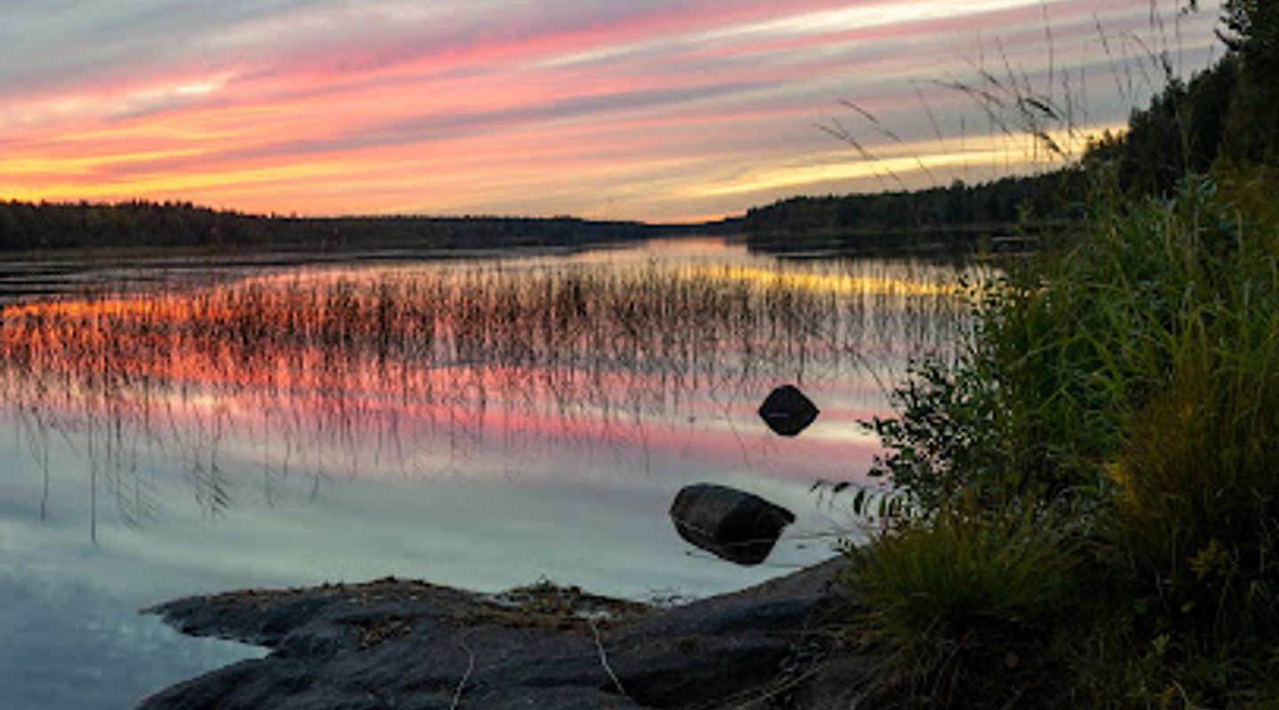
A 21.6 km² municipal nature reserve on the edge of Luleå, Ormberget–Hertsölandet combines forested ridges, mires and the 73-hectare Hertsöträsket with an extensive network of marked trails, fire pits and shelters for year-round outdoor activities including hiking, fishing and cross-country skiing.
A brief summary to Ormberget-Hertsölandet
- Luleå, SE
- Click to display
- Duration: 0.5 to 6 hours
- Free
-
 Outdoor
- Mobile reception: 4 out of 5

Know before you go
Hi, I'm Eve. Here are a few practical things to know before exploring Ormberget-Hertsölandet.
- Wear sturdy footwear—trails cross wet mires and rocky ridges; waterproof boots are useful in spring and autumn.
- Bring a map or download the municipal trail map before you go; waymarked routes concentrate use and protect sensitive areas.
- Respect reserve rules: open fires only at designated pits and leave rare fungi, lichens and vegetation undisturbed.
- Fishing at Hertsöträsket requires a valid fishing permit where applicable; check seasonal ice conditions before venturing onto frozen water.
Do you manage this location?
Take control to get all the benefits, like improved information, better appearance, and stronger visibility across AI-powered discovery. Learn more about listing your business on Evendo
Activate your presenceOther nearby places you may find interesting
The closest places of the same kind, if this one is not quite what you had in mind.
Explore Ormberget-Hertsölandet on the Map
A handpicked selection of must-see spots near Ormberget-Hertsölandet, mapped for you.
Getting There
-
Public bus
Local municipal bus from central Luleå to a stop serving Hertsön; typical journey time 15–25 minutes depending on timetable frequency, with services running on a regular daytime schedule. Check live local timetables for service times and any seasonal changes; be aware that some routes reduce frequency in evenings and public holidays. Ticketed service—single fares charged in Swedish krona (SEK); expect approximately 30–50 SEK per adult depending on fare zone and concessions.
-
Car (parking at main access points)
Drive from Luleå to the Ormberget or Hertsölandet access roads; typical drive time 10–20 minutes from the city centre depending on traffic. Main parking areas are at the top of Ormberget and near primary trailheads; parking capacity is limited at peak times and surfaces may be unpaved. No parking fee is usually charged, but check local signage for restrictions; in winter some parking areas may have reduced accessibility due to snow-clearing priorities.
-
Bicycle
Cycling from Luleå is a practical option for fit riders: allow 20–40 minutes depending on starting point and route. Approach includes paved and gravel roads followed by forest tracks; some sections can be muddy after rain and are steeper near Ormberget’s slopes. Carry basic repair tools and lights if returning after dusk.
For the on-the-go comforts that matter to you
-
 Seating Areas
-
 Sheltered Areas
-
 Picnic Areas
-
 Information Boards
-
 Restrooms
Discover more about Ormberget-Hertsölandet
Where the town meets wild forest
Ormberget–Hertsölandet sits directly adjacent to Luleå’s urban fringe, a landscape of mixed conifer forest, bogs and rocky outcrops that stretches across large parts of the Hertsölandet peninsula and westward to Ormberget. The reserve’s mosaic of habitats includes the notable Hertsöträsket, a shallow lake of roughly 73 hectares at the reserve’s heart, surrounded by forest that changes character with the seasons. In spring and summer the birch and spruce understory fills with mosses and flowering herbs; in winter the same slopes become a compact, snow-carved arena for cross-country tracks and sledging.Trails, shelters and outdoor infrastructure
A marked network of trails threads the reserve, from short, informative loops to longer routes such as the Hertsöstigen that guides visitors through varying terrain. Scattered along the routes are simple wooden wind shelters, maintained fire pits and rest clearings intended to concentrate use where the landscape tolerates it best. These facilities reflect the site’s role as a municipal friluftsområde: designed to support jogging, family outings, nature study, fishing and both summer and winter recreation while protecting more fragile zones.Plants, fungi and quiet pockets of biodiversity
The reserve’s combination of old forest patches and wetland supports species that favour mature, humid conditions. Attentive walkers may find rare wood-decay fungi and distinctive lichens among older asp and spruce stands. Mire vegetation such as cotton-grass and crowberry occupies the peatier areas, and the juxtaposition of dry ridge and damp hollows creates microhabitats for a wide range of forest birds and specialist bryophytes.Water and seasonal pursuits
Hertsöträsket is central to the reserve’s character: shallow and accessible, it draws anglers in summer and becomes part of the winter landscape when ice and snow take over. Fishing on the lake is a common activity; in colder months prepared trails and groomed tracks transform the area into a local cross-country and sledding destination. The reserve’s different zones are managed so that high-use recreational parts absorb most visitor activity while conservation zones remain quieter and less disturbed.Landscape stories and local stewardship
Formed by glacial sculpting and peat accumulation, the reserve’s varied topography tells a long natural history of post-glacial uplift and slow wetland development. Management is municipal and aims to balance recreation with nature protection, concentrating facilities in robust sectors while allowing the wider reserve to preserve its ecological values. Traditional rights such as berry and mushroom picking are accommodated within conservation rules, and there are clear prohibitions on harming flora and fauna.What to expect on the ground
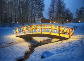
On arrival you’ll notice a recreational atmosphere close to town that quickly gives way to quieter, forested stretches. Expect a peninsula of mixed-use: maintained paths, visible trail markers and occasional information boards around the main access points, plus more remote tracks that lead into mire and old-growth pockets. The reserve is a year-round place—bright green in high summer, richly scented with damp humus in autumn, a pale, silent winter playground and an early-spring chorus of returning birds and thawing bogs.












Your all‑in‑one travel companion app
Explore expert travel guides, compare and book tours, experiences, hotels, and more—all from the palm of your hand. Download now for seamless trip planning wherever your wanderlust takes you.


Explore More of Norrbotten

Looking beyond Ormberget-Hertsölandet? Discover Norrbotten for broader travel guides, local hot-spots, and regional highlights.
Explore Norrbotten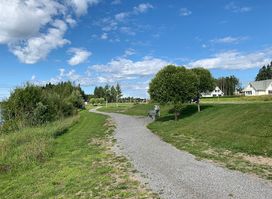
Tranquil coastal park blending seaside serenity with northern wilderness, perfect for reflective walks along Luleå's beautiful Bothnian shores.
Tranquil memorial grove in Luleå's landscape cemetery, blending natural serenity with poignant remembrance for quiet reflection.