Bruksleden Travel Guide
Free Guide: Well-marked forest trails and small lakes threaded with industrial history — ideal for day hikes or longer, flexible sections.


A brief summary of Bruksleden
Well-marked forest trails and small lakes threaded with industrial history — ideal for day hikes or longer, flexible sections.
Bruksleden is a long-distance hiking trail that threads through Västmanland and into southern Dalarna; the Hallstahammar section offers mixed-forest walking, small lakes and traces of old industry along well-marked paths, suitable for day hikes or multi-day segments and loops that link to cabins and tent sites.
On-site amenities
 Seating areas
 Picnic areas
 Information boards
- Address
- Gråstensvägen, 734 37 Hallstahammar
- Website
Getting there
Regional train + local bus
Car (self-drive)
Local bus + short walk
Discover more about Bruksleden
A trail shaped by industry and forest
Bruksleden is a historical long-distance footpath that runs through the iron-age and industrial landscapes of Västmanland into southern Dalarna. Along the Hallstahammar stretch you move through mixed coniferous and deciduous woodland punctuated by small lakes, moraine ridges and the occasional relic of the region’s early ironworks — low stone foundations, overgrown slag heaps and straightened water channels that hint at centuries of local metalworking. These human marks sit quietly among a largely natural forest backdrop and give the route a layered, lived-in character.
What the route feels like underfoot
Expect a sequence of narrow singletrack, wider forest roads and short gravel sections; surfaces are generally firm but can become soft after rain where the trail skirts wetlands and small tarns. The route alternates easy stretches with short ascents on rocky moraine, so the rhythm of walking is varied rather than relentlessly flat. Waymarking is prominent — orange-and-black signs guide the route — and you’ll pass small rest clearings and boardwalks in wetter sections that make the Hallstahammar legs comfortable for most walkers.
Pockets of water and forested quiet
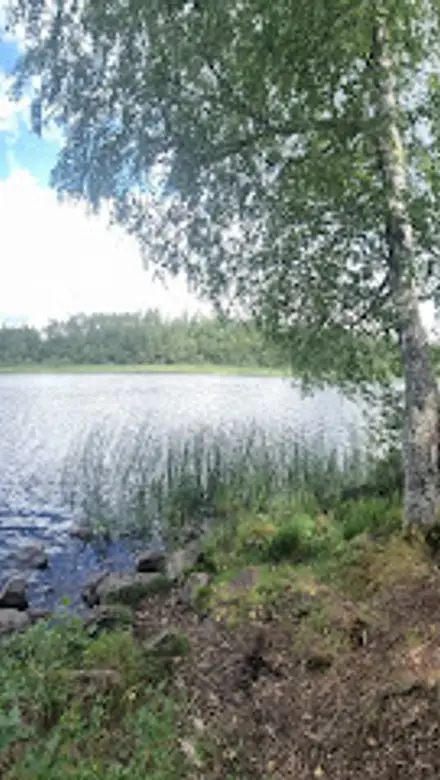
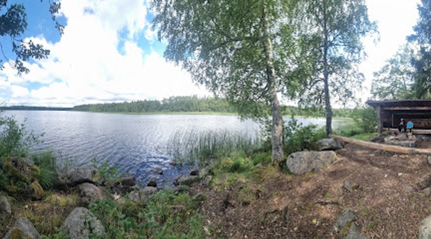
Small lakes and ponds, often fringed by boggy reeds and granite outcrops, provide natural stopping points; these clearings are good for a brief picnic, birdwatching or simply to listen to the hush of pine and the soft slap of water. Seasonal light transforms the character of the trail: spring brings fresh greens and bird song, summer offers deep shade and cool breathing space, autumn gilds the trail with ochre and rust, and winter condenses the itinerary into stark outlines of trunks and rock.
Overnight and day-hike possibilities
Bruksleden is divided into well-defined sections that make it easy to tailor a visit — from short day loops near Hallstahammar to multi-day stretches that link to cabins, simple shelters and tent sites further along the route. In places, simple lean-tos or STF-style cabins and established tenting spots are available on adjacent sections; they convert a linear trail into a flexible network of walks, allowing you to piece together a long weekend or a longer through-hike.
Practical character and seasonal notes
The Hallstahammar section is accessible year-round but conditions change: muddy or snowy patches are possible outside high summer and waymarked paths can be narrower in places. Insect activity increases in late spring and early summer near wetlands, while autumn offers stable, crisp conditions and dramatic colour. The trail is well suited to hikers who enjoy quiet rural routes with occasional historic touches rather than a purely wilderness experience.
A concise visitor impression
Bruksleden around Hallstahammar is a balanced hiking experience: intimate forest paths and lake edges, manageable terrain with occasional short climbs, and a sense of human history folded into the landscape. The route rewards a slow pace — looking for old ironworks traces, pausing by small tarns, and following the orange-and-black waymarks as the path winds on toward the next clearing or village.
Evendo Review Centre
 Google
Guest reviews
Best time to go
Quietest: Jan, Feb & Dec · before 6am or at 9pm
Busy times are Evendo estimates for a typical year, to help you plan. Actual crowds vary with events, school holidays and the weather.
Explore Bruksleden on the map
A handpicked selection of must-see spots near Bruksleden, mapped for you.
Get your free copy of our complete guide to Bruksleden, delivered straight to you.
Everything on this page, from opening hours and how to get there to Eve’s tips and the best time to go, in one PDF you can read offline, print or share.
Already have an account? Sign in
Your Bruksleden guide is ready.
We'll send it to · Not you? Sign out

Getting your guide ready…
We are putting together a fresh copy of the Bruksleden guide. This can take up to a minute.
This can take a few moments. If your browser asks, choose Allow so the download can start. You'll find the guide in your Downloads folder.
Nothing happened? Download it again
Sorry, the guide is taking longer than usual. Please try again in a minute, or get it by email instead.
Other nearby places you may find interesting
The closest places of the same kind, if this one is not quite what you had in mind.
-
-
-
-
-


Swipe for more places
More to explore near Bruksleden

 Best experiences near Bruksleden
 Best hotels near Bruksleden
 Best landmarks near Bruksleden
 Best attractions near Bruksleden
 Best shops near Bruksleden
 Best restaurants near Bruksleden
 Best bars near Bruksleden
Do you manage this location?
Take control to get all the benefits, like improved information, better appearance, and stronger visibility across AI-powered discovery.
Explore more
Explore more of Västmanland
Discover Västmanland: A blend of natural beauty, historical treasures, and modern attractions in the heart of Sweden.
Explore Västmanland
Explore more of Sweden
Discover Sweden's breathtaking landscapes, vibrant cities, and rich cultural heritage. From the Northern Lights to historic castles, experience the essence of Scandinavia.
Explore Sweden