Vehlan Mahallesi, Kackar Mountains Travel Guide
Explore Vehlan Mahallesi, a picturesque village in Artvin, Turkey, where stunning natural landscapes and rich cultural heritage await your discovery.
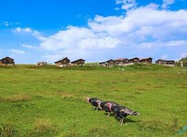
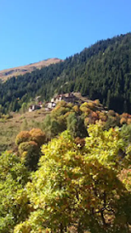
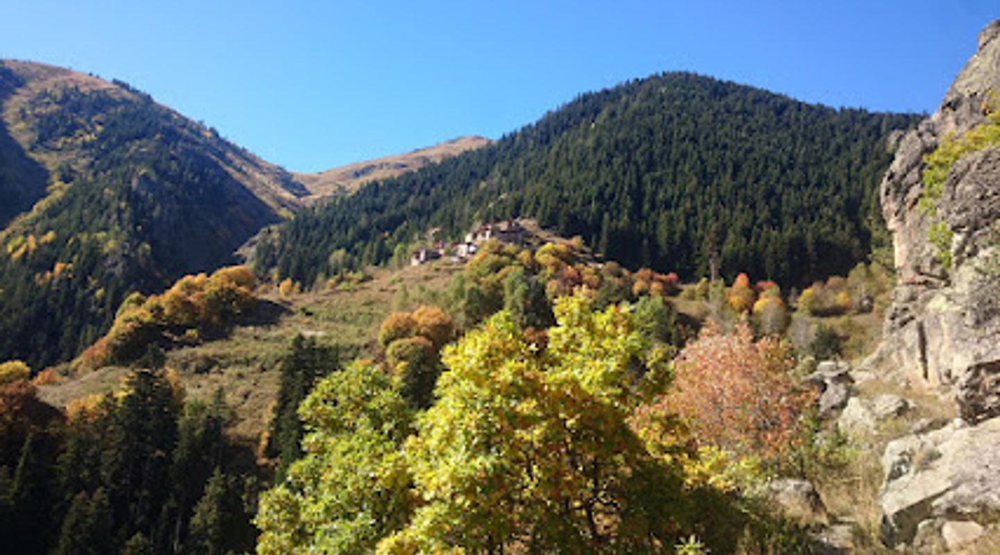
Nestled in the picturesque region of Artvin, Vehlan Mahallesi is a captivating tourist destination that boasts stunning natural landscapes, rich cultural heritage, and a serene atmosphere perfect for travelers seeking tranquility and adventure alike.
A brief summary to Vehlan Mahallesi
- 08890, Demirdöven/Yusufeli, Taşbaşı, Artvin, TR

Know before you go
Hi, I'm Eve. Here are a few practical things to know before exploring Vehlan Mahallesi.
- Visit during spring or autumn for the best weather and most vibrant scenery.
- Bring a camera to capture the breathtaking views and traditional architecture.
- Try local dishes at family-run restaurants for an authentic taste of Turkish cuisine.
- Engage with locals to learn about the village's history and culture.
- Wear comfortable shoes for hiking and exploring the surrounding nature trails.
Do you manage this location?
Take control to get all the benefits, like improved information, better appearance, and stronger visibility across AI-powered discovery. Learn more about listing your business on Evendo
Activate your presenceOther nearby places you may find interesting
The closest places of the same kind, if this one is not quite what you had in mind.
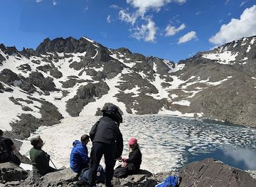
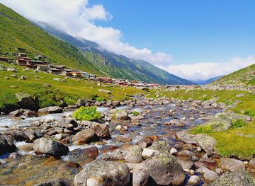
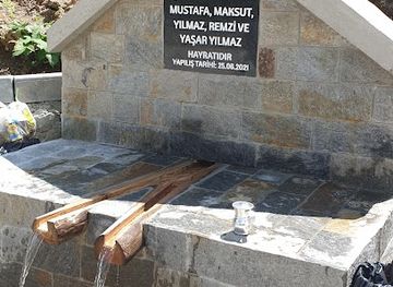
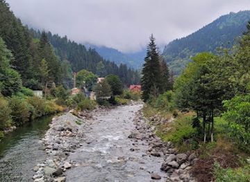
Explore Vehlan Mahallesi on the Map
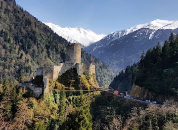
A handpicked selection of must-see spots near Vehlan Mahallesi, mapped for you.
Getting There
-
Car
If you are driving to Vehlan Mahallesi, start from the town of Yusufeli. Head northwest on the D915 highway towards Demirdöven. The drive will take approximately 30-40 minutes, covering a distance of about 20 kilometers. Follow the signs to Demirdöven/Yusufeli, and once you reach the outskirts of Demirdöven, look for local signs directing you to Vehlan Mahallesi. The last part of the journey involves driving on a narrow mountain road, so take care as it can be steep and winding. Parking is available in the village.
-
Public Transportation
To reach Vehlan Mahallesi using public transportation, first take a bus from Artvin to Yusufeli. The journey typically takes around 1.5 to 2 hours. Once you arrive in Yusufeli, you will need to transfer to a local minibus or dolmuş (shared taxi) that goes towards Demirdöven. This leg of the journey should take about 30 minutes. Inform the driver that you would like to get off at Vehlan Mahallesi, as they are familiar with the stops along the route. Be prepared for a small fare for the minibus, usually around 10-15 TL.
-
Hiking
For the adventurous, if you are already hiking in the Kaçkar Mountains, you can make your way to Vehlan Mahallesi on foot. From the nearest hiking trail, find your way towards the village, which is located at coordinates 40.9203° N, 41.3498° E. The hike will take approximately 2-3 hours, depending on your starting point. Ensure you have a map or GPS device, as some trails may not be well-marked. Bring sufficient supplies, as facilities in the village may be limited.
Discover more about Vehlan Mahallesi













Your all‑in‑one travel companion app
Explore expert travel guides, compare and book tours, experiences, hotels, and more—all from the palm of your hand. Download now for seamless trip planning wherever your wanderlust takes you.


Explore More of Kackar Mountains
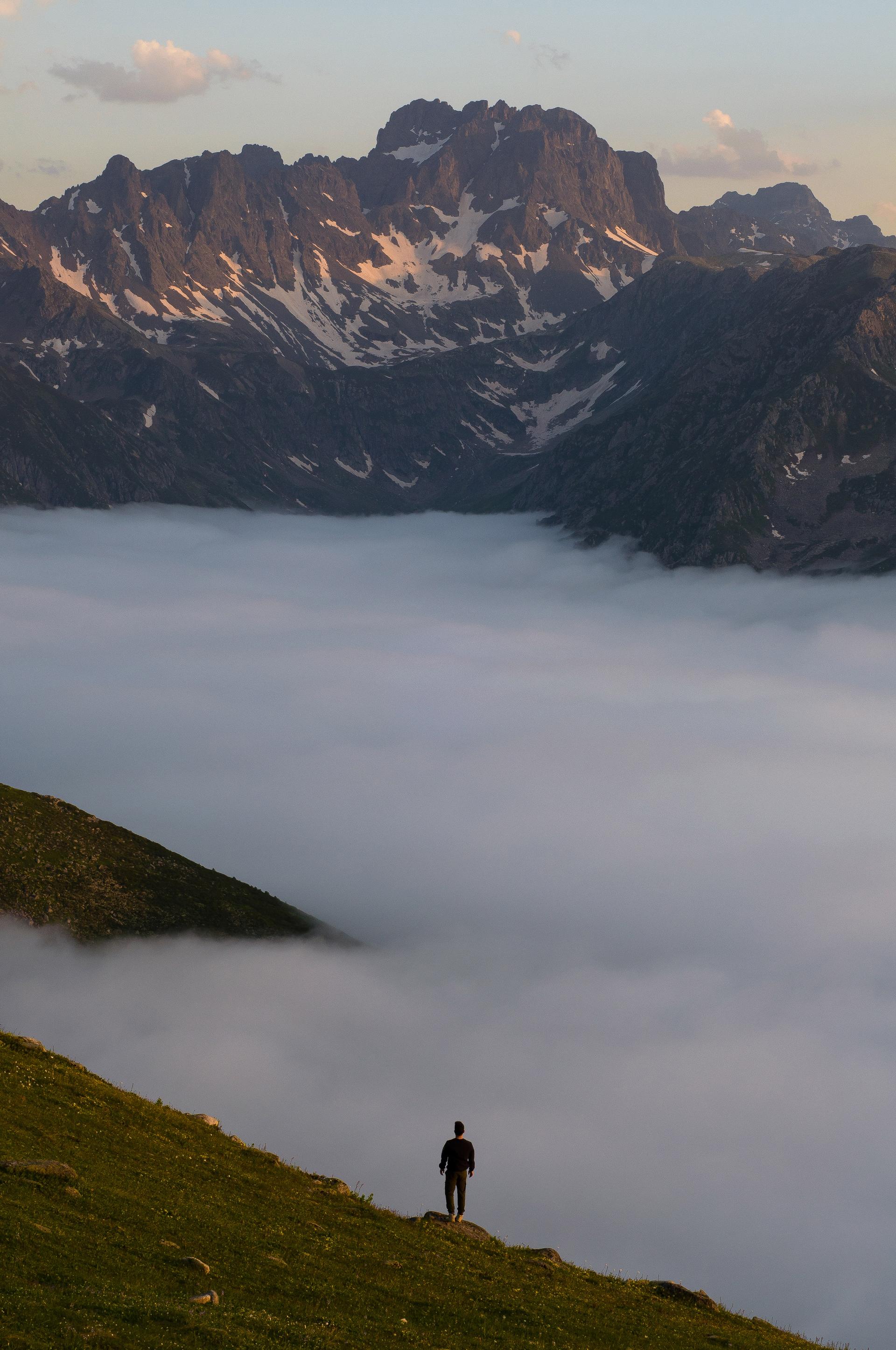
Looking beyond Vehlan Mahallesi? Discover Kackar Mountains for broader travel guides, local hot-spots, and regional highlights.
Explore Kackar Mountains