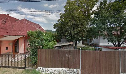
Explore Kuluar: A Trekker's Paradise in Zakarpattia Oblast
Discover Kuluar, an enchanting hiking area in Zakarpattia Oblast, where nature and adventure await every traveler.
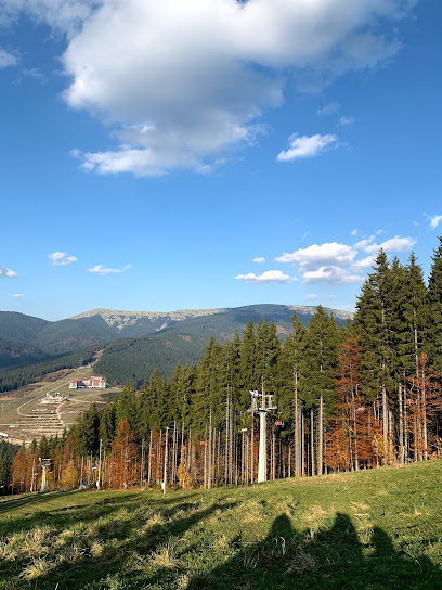
Kuluar is a breathtaking hiking area located in Zakarpattia Oblast, perfect for tourists seeking adventure and natural beauty. With picturesque landscapes and diverse trails, it’s a must-visit for nature lovers.
A brief summary to Kuluar
- 66VJ+R6, Chorna Tysa, Zakarpattia Oblast, UA
Local tips
- Visit during early morning or late afternoon for cooler temperatures and stunning light for photography.
- Wear sturdy hiking boots and bring plenty of water, as some trails can be challenging.
- Keep an eye out for local wildlife, especially in the early hours.
- Consider hiring a local guide to learn more about the flora, fauna, and history of the area.
- Pack a picnic to enjoy at one of the scenic overlooks during your hike.
Getting There
-
Car
If you're driving to Kuluar from Dragobrat, head southwest on Dragobrat street, following the signs for Chorna Tysa. Continue on this road for about 10 kilometers. You will pass through a scenic route, with beautiful views of the Carpathian Mountains. Watch for the signs indicating 'Kuluar' as you approach. The final destination will be on your left at coordinates 48.2445905, 24.2306195. There is no fee for parking in the vicinity, but ensure that you park in designated areas.
-
Public Transportation
To reach Kuluar using public transportation, first, take a bus or marshrutka (mini-bus) from Dragobrat to the nearest major town, such as Yaremche or Ivano-Frankivsk. Buses typically leave throughout the day; check local schedules for exact times. Once you arrive in Yaremche, transfer to a local bus heading toward Chorna Tysa. Inform the driver that you are going to Kuluar; they will drop you off at a stop near coordinates 48.2445905, 24.2306195. The total cost for the journey will be around 150 UAH ($5) for the entire trip, depending on the distance.
-
Hiking
For the adventurous, you can hike to Kuluar from Dragobrat. Start from the Dragobrat ski area and follow the marked hiking trails towards Chorna Tysa. The hike is approximately 5-7 kilometers and takes around 2-3 hours, depending on your pace. Ensure you have appropriate hiking gear and check the weather conditions before starting your trek. This option is free of cost but requires physical fitness and preparation.
Discover more about Kuluar
Iconic landmarks you can’t miss
U Stozi
0.7 km
Experience the charm of U Stozi, where cozy accommodation meets authentic Ukrainian cuisine in the heart of Zakarpattia.
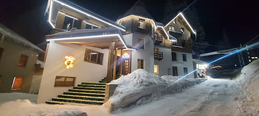
Hata Magnata
0.8 km
Experience the perfect blend of adventure and relaxation at Hata Magnata, your premier hotel destination in the stunning Dragobrat region.
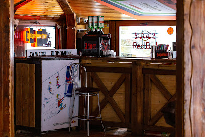
Yaremyna Khata
0.9 km
Discover the charm of Yaremyna Khata, a cozy hotel in Zakarpattia Oblast, perfect for exploring nature and Ukrainian culture.
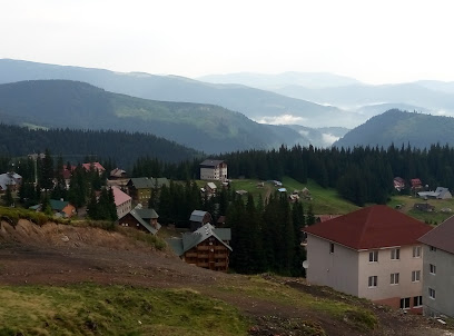
Dragobrat freeride centr
0.9 km
Experience the ultimate winter adventure at Dragobrat Freeride Center, where thrilling slopes and stunning mountain views await every winter sports enthusiast.
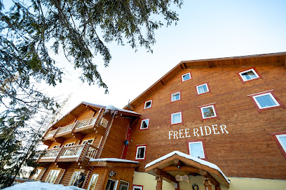
Готель FreeRider Драгобрат
1.0 km
Discover the beauty of the Carpathian Mountains at FreeRider Dragobrat Hotel, your perfect retreat for adventure and relaxation.
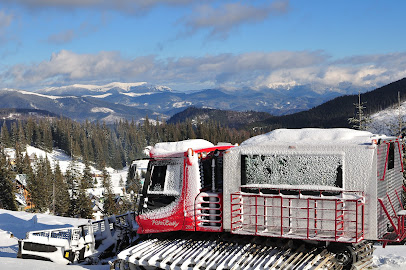
Драгобрат - фрірайд на ратраках
1.0 km
Discover Dragobrat, Ukraine's ultimate adventure sports destination, offering breathtaking mountain views and thrilling outdoor activities year-round.
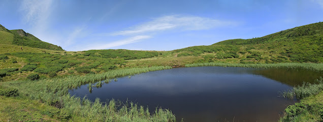
Drahobrat·sʹke Ozero
1.8 km
Experience the breathtaking beauty of Drahobrat'ske Ozero, a tranquil lake nestled in the Carpathians, perfect for adventure and relaxation in Zakarpattia Oblast.
Г. Свідовець . Svydovets Mountain
4.2 km
Explore the stunning Svydovets Mountain in Zakarpattia Oblast, a perfect blend of adventure, natural beauty, and rich Ukrainian culture.

Svydovets' Stream
4.8 km
Explore the breathtaking rapids and serene landscapes of Svydovets' Stream in Zakarpattia Oblast, a must-visit for nature lovers and adventure seekers.
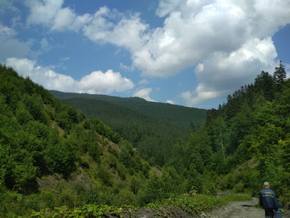
Svydovets
6.8 km
Explore Svydovets Mountain Peak: A gem in the Carpathians, offering breathtaking views and unforgettable outdoor adventures in Ukraine's Zakarpattia Oblast.
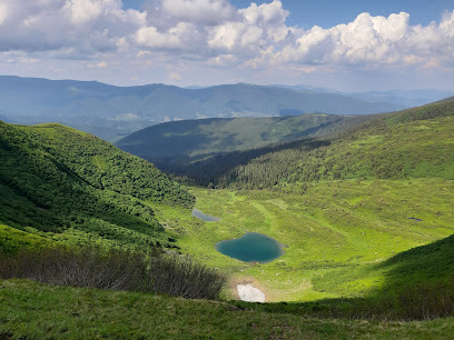
Yasynya Drahobrat Transfer
6.9 km
Experience the majestic Carpathian Mountains with Yasynya Drahobrat Transfer, your reliable transportation service for unforgettable adventures.

Mountain Dovha
17.1 km
Explore the stunning Mountain Dovha in Ivano-Frankivsk Oblast, where breathtaking views and outdoor adventures await every traveler.
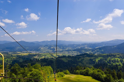
Artek Bukovel
17.6 km
Experience the enchanting Artek Bukovel, a children's camp nestled in the Carpathians, where adventure and learning come together in a magical setting.
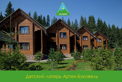
Rodelʹban
17.6 km
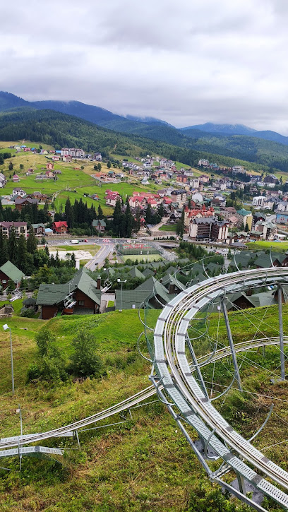
Discover the thrill of speed and breathtaking views at Rodel'ban, the ultimate amusement ride in Bukovel's stunning landscapes.
Roller Coaster Zipline
17.6 km
Discover the ultimate thrill at the Roller Coaster Zipline in Polyanytsya, where adventure meets breathtaking views in Ivano-Frankivsk Oblast.
Unmissable attractions to see
Галявина крокусів
0.7 km
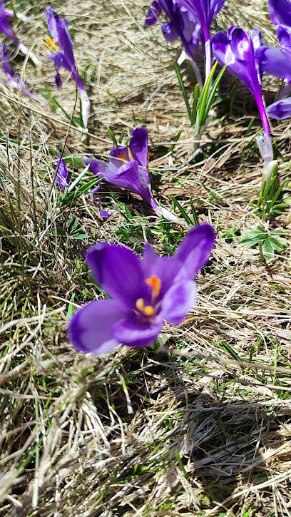
Explore the stunning beauty of Galavyna Krokusiv in Zakarpattia Oblast, a hiking paradise with breathtaking landscapes and vibrant flora.
Chan Oselya
1.0 km
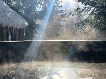
Experience ultimate relaxation and natural beauty at Chan Oselya, a premier spa garden in Zakarpattia Oblast, perfect for rejuvenation and tranquility.
Mount Gendarme
1.4 km
Discover the natural beauty of Mount Gendarme in Zakarpattia Oblast – a premier hiking destination offering breathtaking views and unforgettable adventures.
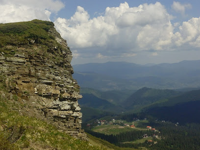
Drahobrat
1.5 km
Discover the breathtaking beauty and thrilling skiing experiences at Drahobrat, the highest ski resort in Ukraine.
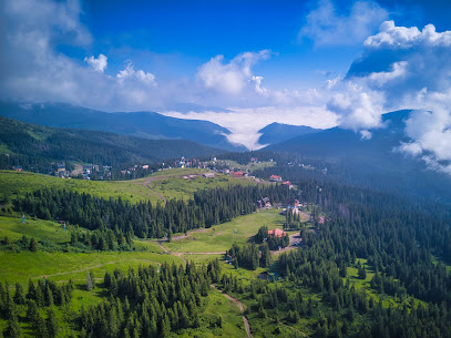
Dzherelo Urdu
1.6 km
Experience the serene beauty of Dzherelo Urdu in Zakarpattia Oblast, an ideal retreat for nature lovers and seekers of peace.
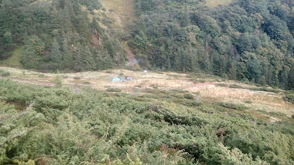
Mt. Krachuneska
2.6 km
Explore the breathtaking beauty of Mt. Krachuneska, a serene mountain retreat in Zakarpattia Oblast, perfect for nature lovers and adventure seekers alike.
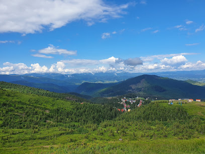
Озеро невісти
3.1 km
Explore the serene beauty of Lake Nevist in Zakarpattia Oblast, a hidden gem perfect for relaxation and nature lovers.
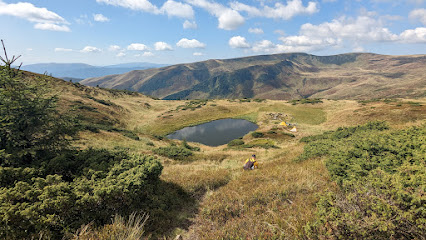
Найкращий краєвид карпат
3.3 km
Experience the majestic beauty of the Carpathians in Zakarpattia Oblast, where stunning vistas and diverse landscapes await every hiking enthusiast.
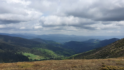
Водопад Тонкая бабочка
3.5 km
Explore the serene beauty of Tonka Butterfly Waterfall in Zakarpattia Oblast—an enchanting destination for nature lovers and adventurers alike.
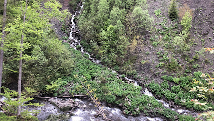
Drahobrat·sʹkyy Vodospad
5.4 km
Discover the serene beauty of Drahobrat'skyy Vodospad, a stunning waterfall in Zakarpattia Oblast, perfect for nature lovers and adventure seekers alike.
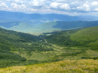
Скала вірності
5.9 km
Discover the breathtaking beauty of Skala Virnosti, a premier hiking destination in Zakarpattia Oblast, perfect for nature enthusiasts and outdoor adventurers.
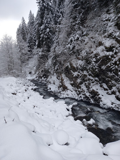
Vodospad Trufanetsʹ
6.8 km
Explore the breathtaking Vodospad Trufanets’ waterfall in Zakarpattia Oblast – a serene escape into nature's beauty, perfect for all adventure seekers.
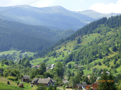
Stil I Lavky
7.6 km
Explore the natural beauty of Stil I Lavky, a serene hiking area in Zakarpattia Oblast that promises breathtaking views and a peaceful escape into nature.
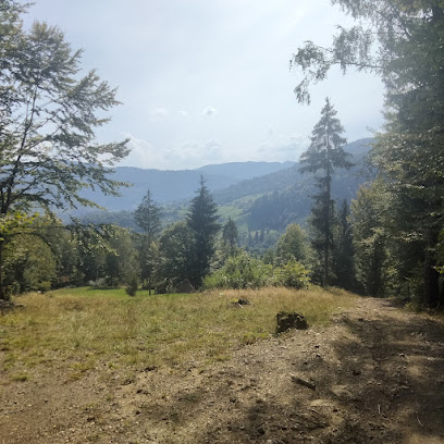
Mt. Troyaska
7.6 km
Explore the breathtaking views and natural beauty of Mt. Troyaska in Zakarpattia Oblast, a perfect destination for nature lovers and adventure seekers.
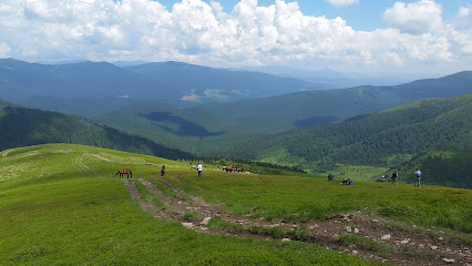
Поляна Ясіні
7.7 km
Discover the breathtaking landscapes and serene hiking trails of Poliana Yasinia in Zakarpattia Oblast, a must-visit destination for nature lovers.

Essential places to dine
Kazka Karpat
0.6 km
Discover Kazka Karpat: where exquisite local cuisine meets stunning mountain hospitality in Zakarpattia Oblast.
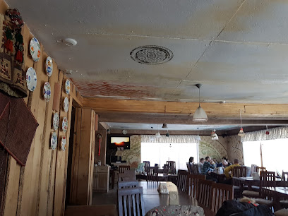
Bokorash
10.9 km
Experience authentic Ukrainian cuisine at Bokorash in Kvasy – where every dish tells a story of tradition and flavor.
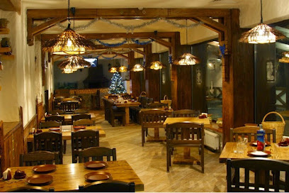
Golden Eagle Restaurant
17.2 km
Experience authentic Ukrainian cuisine amidst stunning mountain views at Golden Eagle Restaurant in Yablunytsya.
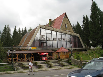
Filvarok #5 (upper station of ski lift #5)
17.3 km
Experience authentic Ukrainian cuisine amidst stunning mountain views at Filvarok #5 in Bukovel.
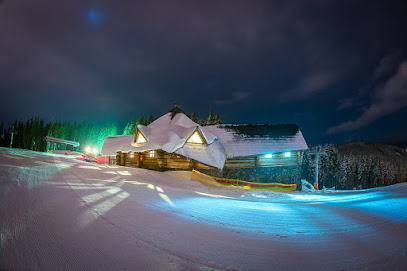
Social Space & Experimental Kitchen
17.3 km
Discover unique flavors at Yaremche's premier dining spot - the Social Space & Experimental Kitchen offers innovative cuisine in a cozy atmosphere.
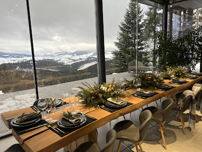
Vysokyy Pereval
17.4 km
Experience authentic Ukrainian flavors at Vysokyy Pereval in Yablunytsya – where tradition meets taste amidst stunning mountain views.
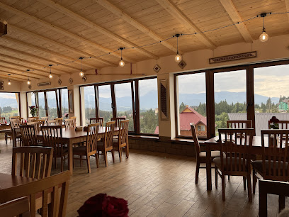
Filvarok 2
17.5 km
Experience authentic Ukrainian cuisine amidst the stunning landscapes of Polyanytsya at Filvarok 2.
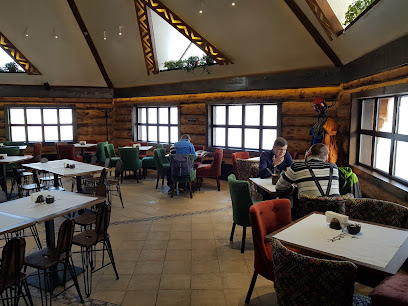
Filvarok 12
17.6 km
Discover the heart of Ukrainian cuisine at Filvarok 12 in Polyanytsya - where tradition meets flavor.
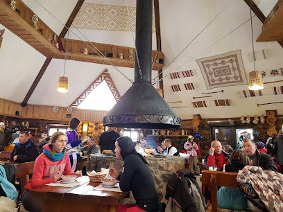
Living Room
17.8 km
Experience exquisite dining at Living Room in Bukovel – where local flavors meet global cuisine amid stunning mountain views.

Грань гриль ресторан
17.8 km
Experience culinary excellence at Грань гриль ресторан in Yablunytsya - where gourmet grilled dishes meet breathtaking landscapes.
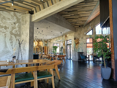
Filvarok #11 (upper station of ski lift #11)
17.8 km
Discover the heart of Ukrainian cuisine at Filvarok #11 in Polyanytsya - where tradition meets taste amidst breathtaking mountain scenery.
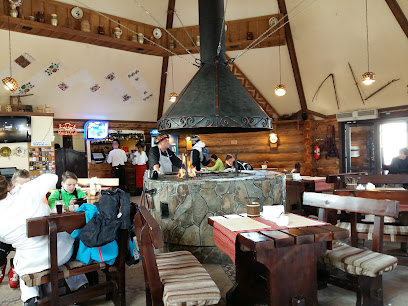
Kolyba
18.0 km
Experience authentic Ukrainian cuisine at Kolyba in Bukovel - where tradition meets modern dining in a breathtaking setting.
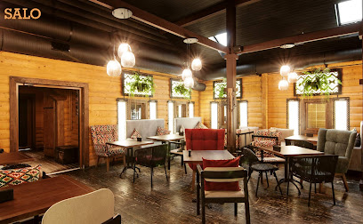
Salo
18.2 km
Experience authentic Ukrainian flavors at Salo in Polyanytsya – where tradition meets modern dining elegance.
Whisky Bar Bukovel
18.2 km
Discover Whisky Bar Bukovel: A vibrant Asian restaurant offering exquisite flavors in a chic lounge setting amidst breathtaking mountain views.
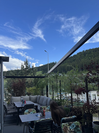
FELICITA
18.2 km
Discover FELICITA in Bukovel: where artisanal pizzas meet stunning mountain views for an unforgettable dining experience.
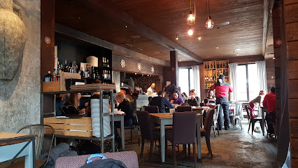
Markets, malls and hidden boutiques
Drah Mahaz
0.7 km
Discover the charm of local culture at Drah Mahaz in Yasinya – your go-to store for authentic Ukrainian souvenirs and gifts.
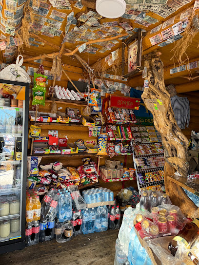
OAZA
0.9 km
Discover the charm of OAZA, a premier hotel and ski resort in the Carpathian Mountains, perfect for adventure seekers and relaxation lovers alike.

Mahazyn
1.0 km
Discover authentic local flavors at Mahazyn, a charming grocery store in Zakarpattia Oblast, perfect for tourists seeking regional delights.

Korytsya
1.2 km
Discover Korytsya, a cozy coffee shop in Yasinya offering exceptional brews and breathtaking mountain views for a perfect retreat.
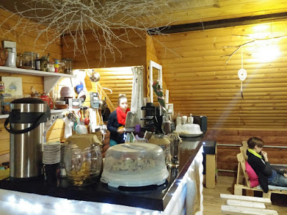
Kalambur
8.2 km
Discover local treasures at Kalambur in Yasinya, a charming store celebrating the rich culture of Zakarpattia Oblast.

Ambar
8.9 km
Explore Yasinya's hidden gem - Ambar, the ultimate convenience store for travelers seeking local flavors and essentials.

Амбар Маркет
9.2 km
Experience the local flavors and culinary charm at Амбар Маркет, Yasinya's unique grocery store offering fresh produce and artisanal goods.

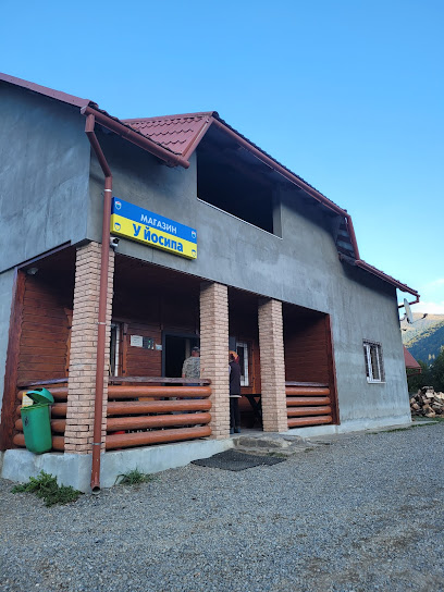
Магазин У Йосипа
9.3 km
Explore authentic Ukrainian flavors at Магазин У Йосипа, your go-to grocery store in Kvasy for local produce and artisanal delights.
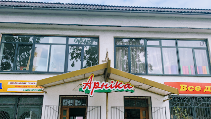
Arnika
9.7 km
Discover a shopping paradise at Arnika Mall in Yasinya, where local culture meets diverse retail experiences in Zakarpattia Oblast.
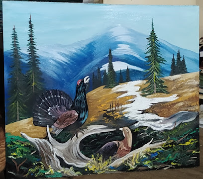
Художник пан Юрій Ткачук
10.7 km
Explore unique handcrafted gifts at Художник пан Юрій Ткачук, showcasing the rich artistic heritage of Zakarpattia Oblast.
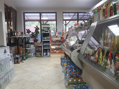
Магазин Продукти
11.1 km
Explore local flavors at Магазин Продукти in Kvasy, your go-to grocery store for authentic Ukrainian culinary experiences!
NoName
11.2 km
Discover the authentic flavors of Zakarpattia Oblast at NoName Grocery Store in Kvasy, a treasure trove of local produce and delicacies.
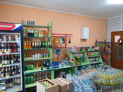
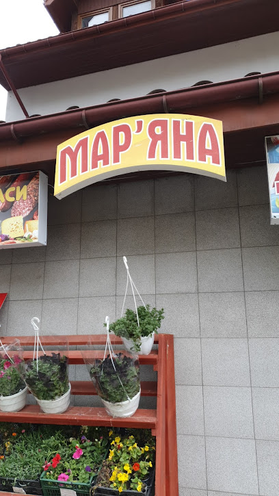
Mar'yana
11.2 km
Discover local treasures and artisanal goods at Mar'yana, your go-to shopping destination in picturesque Kvasy, Zakarpattia Oblast.
Shayany
11.2 km
Discover unique handcrafted gifts at Shayany in Kvasy, Zakarpattia Oblast, and bring home a piece of local culture.
Galina Market
11.5 km
Discover the vibrant flavors of Ukraine at Galina Market in Kvasy, where fresh produce and local delicacies await.
Essential bars & hidden hideouts
Drahobrat Verkh Pidyomnyka
0.3 km
Discover the charm of Drahobrat Verkh Pidyomnyka, a mountain cabin bar in the Carpathians, perfect for relaxation and adventure.
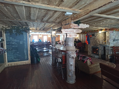
Kolyba Peremychka
0.4 km
Discover the warmth of Ukrainian hospitality at Kolyba Peremychka, a charming bar in Zakarpattia offering local cuisine and stunning views.
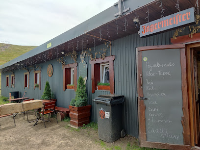
Mihali
0.6 km
Discover Mihali in Dragobrat, where exquisite dining meets the thrill of the Carpathian Mountains – a perfect retreat for every traveler.
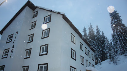
У Степана
0.7 km
Experience authentic Ukrainian cuisine at У Степана in Zakarpattia Oblast, where every dish tells a story and every visit is a celebration of local culture.
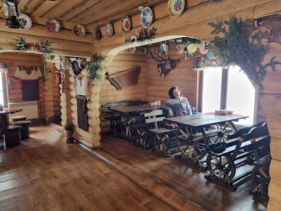
Rizdvo
0.7 km
Experience authentic Ukrainian cuisine at Rizdvo, a cozy restaurant in the heart of Zakarpattia Oblast, where flavor meets tradition.
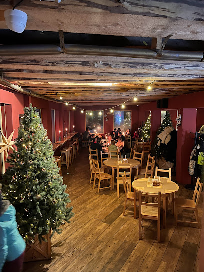
Синя Траса
0.8 km
Discover the vibrant atmosphere of Синя Траса, a must-visit bar in Yasinya, Zakarpattia Oblast, offering local flavors and a lively ambiance.

Ліжник
1.0 km
Discover Ліжник, a charming bar in Drahobrat, where warm hospitality meets breathtaking mountain views and local flavors.
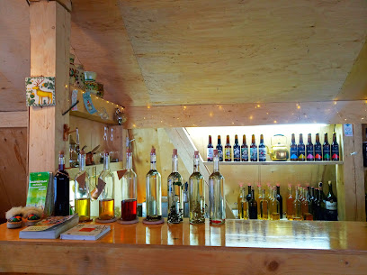
Gogol bar
1.0 km
Discover Gogol Bar in Zakarpattia Oblast, where vibrant nightlife meets local culture, offering an unforgettable experience for all visitors.
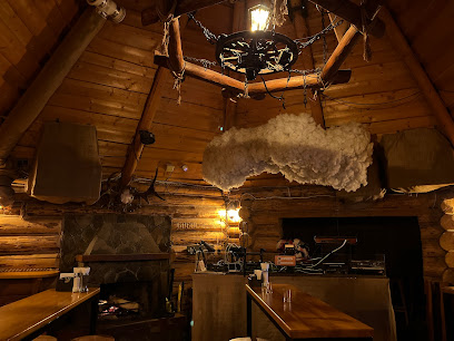
Нічний клуб G7
1.0 km
Discover the electrifying atmosphere of G7 Karaoke Bar in Drahobrat, where music and nightlife come together for an unforgettable experience.
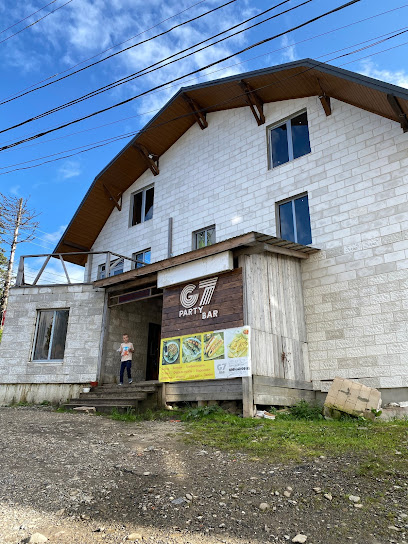
La Roshelʹ
1.5 km
Discover the flavors of Dragobrat at La Roshelʹ, where traditional Ukrainian cuisine meets breathtaking mountain views.
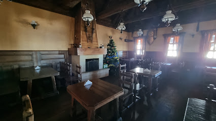
Pub-4.5.0
10.1 km
Experience the local culture and delightful cuisine at Pub-4.5.0, a charming pub in Yasinya, Zakarpattia Oblast, perfect for tourists.
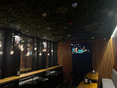
Coffee House
10.3 km
Enjoy the cozy atmosphere and local brews at Coffee House in Yasinya, a perfect retreat for travelers exploring the stunning Zakarpattia region.
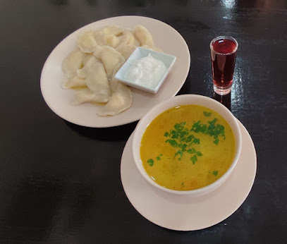
Under Cover
11.2 km
Experience the vibrant atmosphere of Under Cover, a cozy bar in Kvasy offering a delightful selection of drinks in the heart of the Carpathians.

Bar Shanta
15.2 km
Experience the charm of Bar Shanta in Bilyn, where local flavors and a cozy atmosphere await every traveler.

Mastercard Lounge Bukovel
17.1 km
Unwind in the heart of Bukovel at the Mastercard Lounge, your go-to bar for relaxation and local flavors in a stunning alpine setting.
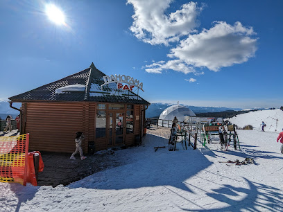
Nightclubs & after hour spots
Driada
0.7 km
Experience the vibrant nightlife of Driada Disco Club, set against the stunning backdrop of the Carpathian Mountains in Ukraine.

Club Hollywood
17.3 km
Discover the nightlife magic at Club Hollywood in Yablunytsya, Ivano-Frankivsk Oblast, where vibrant energy meets unforgettable entertainment.

Mastercard
18.4 km
Experience the vibrant nightlife at Mastercard Night Club in Polyanytsya – where music, dance, and unforgettable memories await you.

Klub Polyanytsya
19.1 km
Discover the lively nightlife at Klub Polyanytsya, where vibrant beats and energetic crowds create an unforgettable party experience in the heart of Ukraine.
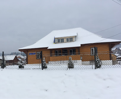
Klub
25.6 km
Discover the vibrant nightlife at Klub, a premier disco club in Vorokhta, Ivano-Frankivsk Oblast, where unforgettable moments await.
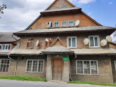
OV Lounge / night club
32.1 km
Discover the energetic nightlife of Yaremche at OV Lounge Night Club, where great drinks and vibrant music create unforgettable memories.

Victory Night Club
32.9 km
Experience unforgettable nightlife at Victory Night Club in Yaremche, where vibrant music and a lively atmosphere create the perfect dance party.
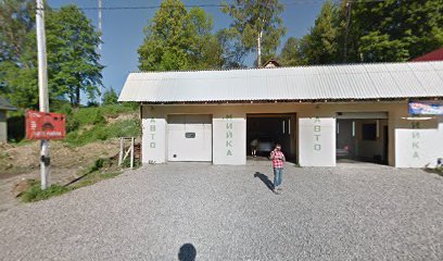
Night Club
33.5 km
Dive into Yaremche's nightlife at this premier disco club, where vibrant music and exciting energy create unforgettable moments every night.
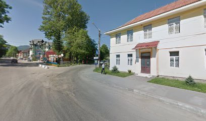
Euphobia
43.4 km
Experience the vibrant nightlife at Euphobia, Sighetu Marmației's premier disco club, where music and fun collide in a colorful atmosphere.
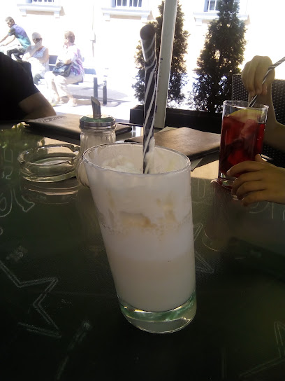
Lojeva
45.3 km
Discover the exhilarating nightlife at Lojeva, a top night club in Nadvirna, Ivano-Frankivsk Oblast, offering music, dancing, and unforgettable experiences.
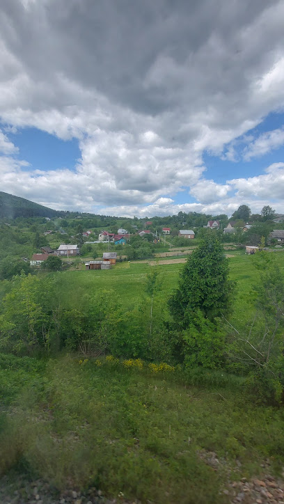
Old Jacku
57.9 km
Discover the vibrant lounge culture at Old Jacku, a must-visit destination in Șieu for relaxation and socializing with a variety of drinks.
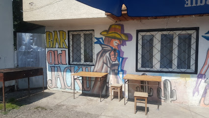
B-EST PUB
58.9 km
Discover B-EST PUB in Šieu, a cozy haven for travelers seeking local drinks, live music, and a taste of Romanian nightlife.

Bar
71.5 km
Experience Borșa's lively bar culture, where authentic Romanian hospitality meets stunning natural beauty and vibrant nightlife.
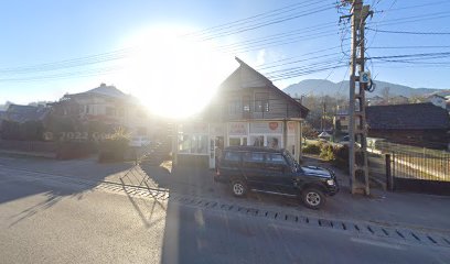
Rock N' Road Weekend
72.1 km
Discover the electrifying nightlife at Rock N' Road Weekend, Băiuț's top night club for an unforgettable evening of music and dance.

MIDAS
79.6 km
Discover the heartbeat of Baia Mare's nightlife at MIDAS, a premier night club with electrifying music and vibrant atmosphere.
