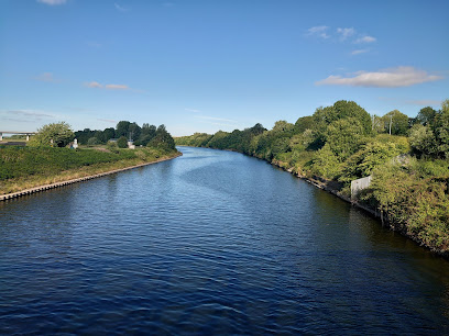
Manchester Ship Canal
Victorian engineering triumph linking industrial Manchester directly to the sea, 40 miles inland.
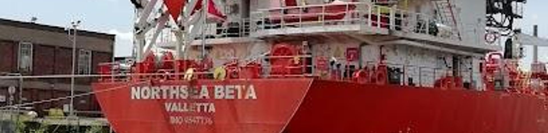
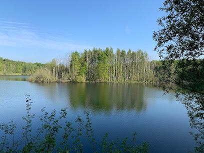
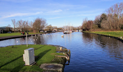
A 36-mile waterway opened in 1894 that transformed Manchester into Britain's third-busiest port despite being 40 miles inland. This engineering marvel connected the industrial heartland directly to the Irish Sea, bypassing Liverpool's expensive docks. Today, the canal remains a symbol of Victorian ambition and industrial innovation, with heritage walks, historic locks, and industrial heritage sites along its length.
A brief summary to Manchester Ship Canal
- GB
- Duration: 1.5 to 8 hours
- Free
-
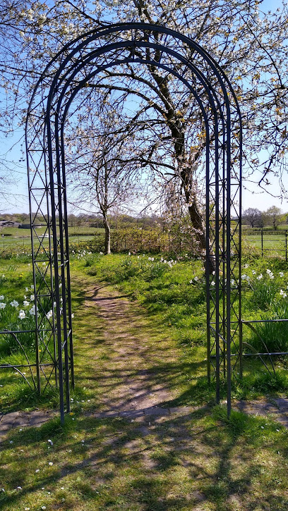
 Outdoor
- Mobile reception: 4 out of 5
Local tips
- Visit the five locks (Eastham, Runcorn, Latchford, Irlam, and Salford) to witness the engineering that manages water levels across the canal's 36-mile length. Each lock offers insight into Victorian hydraulic innovation.
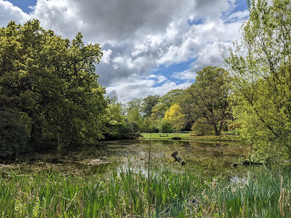
- Walk or cycle the towpath sections between Runcorn and Manchester for the most scenic stretches, passing industrial heritage sites, restored warehouses, and contemporary waterfront regeneration projects.
- Time your visit to coincide with heritage events or industrial history walks organised by local museums and heritage centres, which provide expert context on the canal's construction and economic impact.
- Explore the Trafford Park industrial estate adjacent to the canal to see where Ford Motors and Westinghouse established their first European manufacturing operations in the early 20th century.
- Visit during daylight hours to photograph the Barton Swing Aqueduct, a remarkable engineering feat that carries the canal over the River Irwell and rotates to allow ships to pass.
For the on-the-go comforts that matter to you
- Information Boards
- Visitor Center
- Seating Areas
- Food Options
- Restrooms
- Picnic Areas
Getting There
-
Train
From Manchester Piccadilly Station, take a local train towards Runcorn or Warrington. Journey time is 20–35 minutes depending on destination. Trains run hourly throughout the day. Cost approximately £4–8 per journey. Alights at stations near Runcorn, Irlam, or Stockport, from which the canal is accessible on foot (5–15 minutes) or by local bus.
-
Car
From central Manchester, drive towards Runcorn via the A56 or A5103, following signs to the canal or specific lock locations. Journey time 30–50 minutes depending on destination along the 36-mile route. Parking available at visitor centres, heritage sites, and lock facilities; some areas offer free parking, others charge £2–5 per day. The canal passes through multiple towns; plan your destination in advance.
-
Bus
Local buses serve towns and villages along the canal corridor, including Runcorn, Warrington, Irlam, and Stockport. Journey times vary from 30–90 minutes depending on starting point and destination. Fares typically £2–6. Services run regularly but less frequently than trains; check local timetables for your specific route.
-
Cycling or Walking
The towpath is accessible for much of the canal's length, particularly between Runcorn and Manchester. Walking the entire 36 miles would take 12–15 hours; most visitors explore sections of 5–10 miles (2–4 hours). The towpath is mostly flat and well-maintained, though some sections require navigation through industrial areas. Cycling is popular; allow 2–3 hours for a 10-mile section. No entrance fee required.
Manchester Ship Canal location weather suitability
-
 Any Weather
Discover more about Manchester Ship Canal
Engineering Marvel of the Victorian Age
The Manchester Ship Canal stands as one of the most ambitious engineering projects of the 19th century. Opened on 1 January 1894, this 36-mile waterway links Eastham on the Mersey estuary to Manchester city centre, making it accessible to large ocean-going vessels. The canal is 45–80 feet wide and varies in depth from 28 to 30 feet, featuring five locks that manage water levels across its length. Construction took six years (1887–1893) and cost over £15 million—equivalent to approximately £2.1 billion in modern currency—requiring an average workforce of 12,000 navvies and nearly 200 steam trains hauling 6,000 wagons daily.From Economic Necessity to Industrial Gateway
The canal emerged from Manchester's struggle against Liverpool's monopoly on regional trade. During the Long Depression of the 1870s, Manchester manufacturers faced prohibitively expensive dock charges and railway rates imposed by Liverpool, making exports uncompetitive. Daniel Adamson, a local manufacturer, galvanised the business community in 1882 to pursue a direct water route to the sea. After fierce opposition from Liverpool interests, Parliament finally granted approval in 1885. Edward Leader Williams served as chief engineer, while Thomas Walker led construction. The first vessel to unload cargo on opening day was the Pioneer, operated by the Co-operative Wholesale Society, establishing a weekly service to Rouen.Catalyst for Industrial Transformation
Within a decade of opening, Manchester became Britain's fourth-busiest port by import value, and by 1958 the canal reached its peak, handling almost 20 million tons of freight annually. The waterway attracted major manufacturers to the surrounding region, particularly to Trafford Park—the world's first planned industrial estate—where Westinghouse and Ford Motors established their first European manufacturing sites in the early 20th century. The canal's success fundamentally reshaped the economic geography of northwest England, creating thousands of jobs and establishing Manchester as a global trading centre.Symbol of Civic Pride and Progress
Beyond its economic function, the canal embodied Manchester's self-identity as a forward-thinking industrial city. Contemporary accounts described it as "the actual point of contact between Lancashire and the world," a gateway through which the city's manufactured goods reached global markets. Queen Victoria formally opened the canal on 21 May 1894 from the yacht Enchantress, knighting the mayors of Manchester and Salford in recognition of the achievement. The canal became known affectionately as the "big ditch"—a source of civic pride representing Victorian ingenuity and the courage to transform the physical landscape.Modern Heritage and Contemporary Significance
While freight traffic has declined since the 1960s as modern container ships grew too large for the canal, it remains a significant heritage asset and recreational resource. The waterway passes through varied landscapes, from industrial heritage sites and historic locks to contemporary regenerated waterfront areas. Walking and cycling routes follow much of the canal's length, offering access to museums, heritage centres, and restored dock areas. Recent initiatives, including the Atlantic Gateway scheme developed in partnership with Liverpool, aim to revitalise the canal's role in regional logistics and sustainable transport.Enduring Legacy of Ambition
The Manchester Ship Canal represents a pivotal moment when a regional community mobilised mass popular support, substantial capital, and engineering expertise to overcome geographical constraints and establish global connectivity. From its conception in 1882 to its triumphant opening in 1894, the project embodied the spirit of the Industrial Revolution—transforming Manchester from a landlocked city dependent on Liverpool into an independent maritime power. Today, the canal stands as a testament to Victorian determination and continues to shape the identity and economy of Greater Manchester.Iconic landmarks you can’t miss
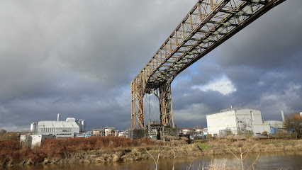
Warrington Transporter Bridge
1.6 km
Explore the world’s only rail transporter bridge, a striking industrial landmark spanning the River Mersey, embodying Warrington’s rich heritage.
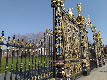
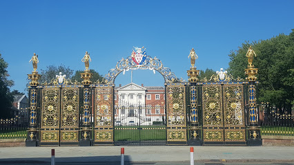
The Golden Gates
2.1 km
Victorian ironwork masterpiece with royal rejection and industrial heritage.
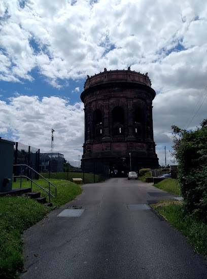
Norton Water Tower
6.4 km
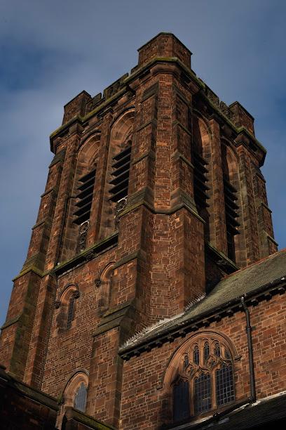
A majestic Victorian water tower in Runcorn, blending historic engineering with enduring utility and striking red sandstone architecture.
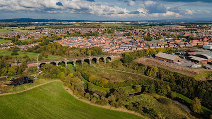
The Sankey Viaduct (Nine Arches)
9.2 km
Discover the stunning Sankey Viaduct in Leigh, a masterpiece of Victorian engineering featuring breathtaking views and rich historical significance.
Sussex Road
12.2 km
Discover the charm of Cadishead at Sussex Road, your convenient gateway to local attractions and the vibrant culture of Manchester.
Taylor Park
13.7 km
Discover the natural beauty and tranquility of Taylor Park in Saint Helens, a perfect destination for relaxation and outdoor fun.
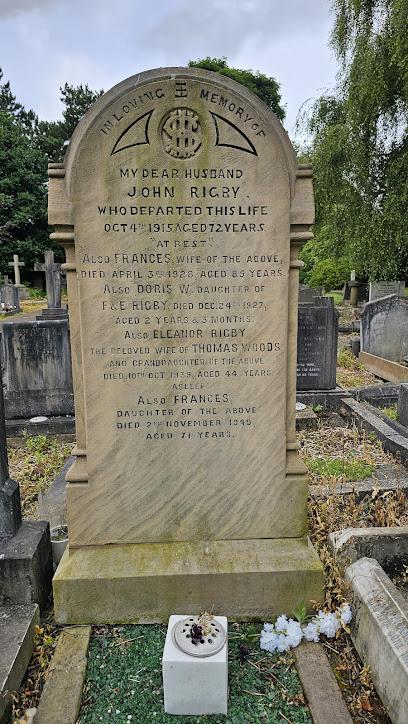
Eleanor Rigby Gravesite
17.7 km
Visit the poignant gravesite of Eleanor Rigby, the real-life inspiration behind The Beatles’ haunting song, nestled in historic Woolton churchyard.
Knutsford Obelisk
18.3 km
An 18th-century memorial obelisk honoring the Legh family, standing as a historic symbol amidst Knutsford’s rich heritage.
Sussex Close
18.7 km
Discover the charm of Wigan through Sussex Close, your essential bus stop to explore local attractions and immerse in the vibrant culture.

Barton Swing Aqueduct
20.3 km
Explore the world’s only swing aqueduct, a Victorian engineering marvel carrying the Bridgewater Canal over the Manchester Ship Canal since 1894.
Chester Attractions Partnership
20.3 km
Explore Chester's rich history and vibrant attractions with the Chester Attractions Partnership, your ultimate guide to unforgettable adventures.

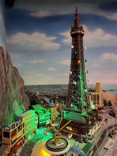
LEGOLAND Discovery Centre
20.3 km
Discover the wonders of creativity and imagination at LEGOLAND Discovery Centre Manchester, an exciting indoor attraction for families and LEGO lovers.
Mesnes Park, Wigan
20.4 km
Explore Mesnes Park in Wigan, a tranquil park filled with lush gardens, recreational activities, and historical charm for a perfect day out.
St Barnabas Penny Lane
20.8 km
Historic church on iconic Penny Lane, blending Beatles heritage with vibrant community music and remembrance.
12 Arnold Grove
21.1 km
The humble Victorian birthplace of George Harrison, where The Beatles' quiet genius began his extraordinary journey.

Unmissable attractions to see
Walton Hall and Gardens
0.9 km
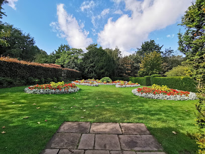
Historic Walton Hall and Gardens blend Cheshire heritage with family-friendly attractions in a scenic, welcoming parkland setting.
River Mersey
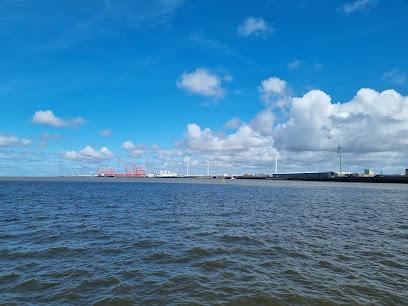
2.0 km
The River Mersey: Liverpool’s historic tidal estuary, offering iconic waterfront views, ferry crossings, and a deep connection to the city’s maritime soul.
Warrington Museum & Art Gallery
2.0 km
Explore Victorian charm and global treasures in Warrington’s historic museum and art gallery, where culture and community come alive.
Moore Nature Reserve
2.3 km
Explore nearly 200 acres of restored natural beauty and diverse wildlife at Moore Nature Reserve in Warrington, a tranquil haven for birdwatchers and nature lovers alike.
Grappenhall Heys Walled Garden
3.2 km
A peaceful 19th-century walled garden near Warrington, where ornamental ponds, kitchen plots, and Victorian glasshouses create a timeless green escape.
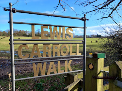
Lewis Carroll Centre
3.8 km
Discover the enchanting world of Lewis Carroll at All Saints Church, Daresbury, where literary history meets serene village charm.
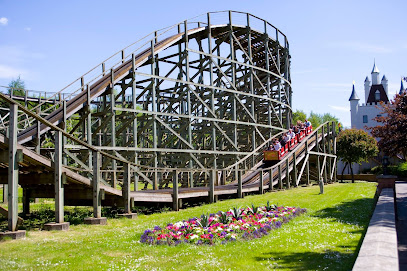
Gulliver's World Theme Park
4.1 km
A vibrant, family-friendly theme park in Warrington with rides, shows, and historic heritage for children aged 2 to 13.
Lewis Carroll Centenary Wood
5.8 km
A peaceful woodland sanctuary near Warrington celebrating Lewis Carroll’s legacy with nature trails, memorial oaks, and serene rural charm.
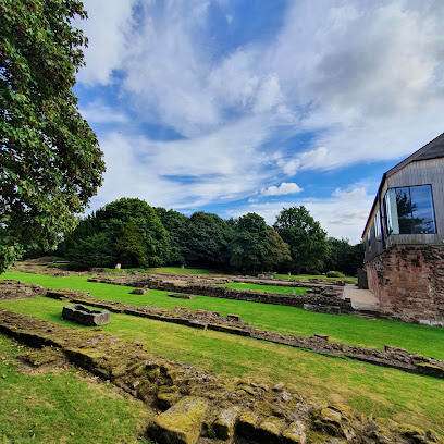
Norton Priory Museum & Gardens
6.0 km
Explore Europe’s most excavated monastic site with medieval ruins, a stunning Georgian walled garden, and 900 years of rich history in tranquil woodland.
Wigg Island
7.9 km
A reclaimed industrial island turned vibrant nature reserve offering scenic walks, rich wildlife, and iconic Mersey views in Runcorn.
Lymm Heritage Centre (Legh St)
8.3 km
Explore Lymm’s vibrant local history and traditions in this welcoming village heritage centre with interactive exhibits and community spirit.
Lymm Cross
8.4 km
Discover the historical charm of Lymm Cross, an iconic landmark nestled in the scenic village of Lymm, England, steeped in rich local heritage.
Lymm Village
8.4 km
Discover Lymm Village’s timeless charm with its historic 17th-century cross, scenic waterways, and vibrant community spirit in the heart of Cheshire.
Victoria Park Widnes
8.5 km
A historic green sanctuary in Widnes offering botanical beauty, sports, family fun, and peaceful lakeside strolls all year round.
Spike Island
8.7 km
A serene riverside park in Widnes offering flat walking trails, vibrant wildlife, and a welcoming café in a unique artificial island setting.
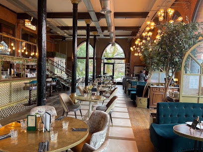
Essential places to dine
Spirit Restaurant & Lounge
2.6 km
Elegant contemporary British dining and versatile event venue set in the tranquil surroundings of Victoria Park, Warrington.
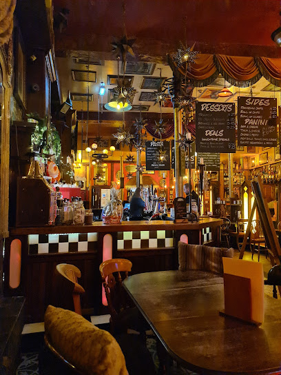
Cock O’ Budworth
10.0 km
Historic 400-year-old coaching inn with cosy snugs, open fires, and classic British fare in the heart of Great Budworth village.
La Boheme
10.5 km
A long-standing French bistro in Lymm serving rich, traditional dishes in a relaxed, unpretentious setting.
Restaurant Next Door
11.8 km
Intimate modern British dining in a historic 17th-century timber-framed building with seasonal, locally sourced menus and expert wine pairings.
The English Restaurant
13.6 km
Classic British chippy in Northwich serving hearty fish and chips with warm, friendly service in a casual setting.
The Goshawk
17.7 km
Historic 19th-century coaching inn in Cheshire offering seasonal British fare, quality cask ales, family-friendly amenities, and a welcoming countryside atmosphere.
Vale Royal Abbey Arms
17.8 km
Traditional Cheshire pub serving hearty British fare with vegan options, cozy fires, and friendly service in a warm, welcoming atmosphere.
Bells of Peover
18.5 km
Historic Cheshire gastropub blending rustic charm with fresh, seasonal dining in a picturesque countryside setting near Knutsford.
The Fishpool Inn
18.7 km
A warm, family-friendly gastropub in Northwich blending rustic charm with modern British cuisine and a scenic beer garden.
Dun Cow
19.6 km
A charming family-run gastropub near Knutsford offering hearty British classics and quality ales in a warm, welcoming atmosphere.
Gallimore's Fine Restaurant
19.7 km
Contemporary British dining in Wigan’s historic town centre, offering quality menus in a stylish, welcoming setting.

The Wheel Restaurant
20.0 km
Experience award-winning, student-prepared cuisine in a warm, welcoming setting at Wigan’s unique Wheel Restaurant.

Fat Olive Restaurant
20.2 km
Experience vibrant Mediterranean and British flavors in a welcoming, lively setting at Wigan’s beloved Fat Olive Restaurant.

Gustum Bar & Restaurant
20.7 km
A vibrant grill and Mediterranean restaurant on Liverpool’s Rose Lane, blending bold flavors with warm hospitality in a lively urban setting.
Spire
20.8 km
Modern European dining with seasonal creativity and a plush, welcoming atmosphere in Liverpool’s vibrant Wavertree district.
Markets, malls and hidden boutiques
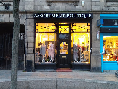
Assortment Boutique Fashion and Home
2.3 km
A charming boutique in Warrington blending unique women's fashion with quirky homewares for a personalized shopping experience.
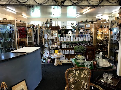
Cheshire & Hampton Vintage Emporiums @ Lady heyes (SHOPS)
12.2 km
Explore timeless treasures and vintage charm at Cheshire & Hampton Vintage Emporiums nestled in the heart of Lady Heyes, Frodsham.
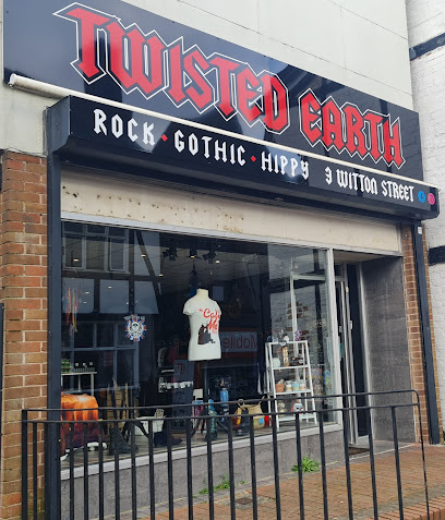
Twisted Earth
13.4 km
Discover gothic, hippy, and rock-inspired gifts and fashion at Twisted Earth, Northwich’s premier alternative shop.
Cocaranti I Premium Womenswear Cheshire
16.9 km
Discover unique, premium womenswear in Knutsford’s charming independent boutique blending style, sustainability, and personalized service.
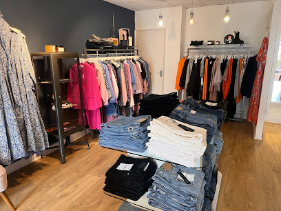
Quirky Cute Boutique
17.2 km
Discover vintage charm and handmade fashion treasures at Altrincham’s creative hotspot, The Quirky Cute Boutique.

The Penny Lane Shopping Centre
20.9 km
Explore The Penny Lane Shopping Centre in Liverpool—your gateway to unique shops, delightful cafés, and the local culture of this iconic city.
Penny Lane Emporium
21.0 km
Discover unique vintage treasures and antiques in a warm, nostalgic setting at Liverpool’s Penny Lane Emporium.
Designer Outlet Cheshire Oaks
21.9 km
Explore a shopper's paradise at Designer Outlet Cheshire Oaks, featuring top designer brands, unbeatable deals, and delightful dining options.
Coliseum Shopping Park
22.1 km
Coliseum Shopping Park: Your ultimate shopping destination in Ellesmere Port with diverse stores, dining, and family-friendly entertainment.
The Port Arcades Shopping Centre
22.3 km
A central shopping hub in Ellesmere Port offering diverse stores and a traditional market in a covered, accessible setting.
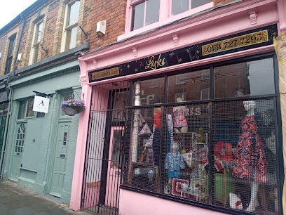
Larks
22.9 km
Discover unique vintage fashion, gifts, and homeware in a vibrant, bohemian shop nestled in Liverpool’s iconic Lark Lane.
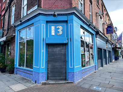
Number 13
22.9 km
Discover unique gifts and local charm at Number 13, a welcoming boutique on Liverpool’s vibrant Lark Lane.
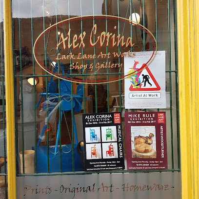
Lark Lane Gallery
22.9 km
Discover unique gifts and local art in the heart of Liverpool’s bohemian Lark Lane at Lark Lane Gallery.
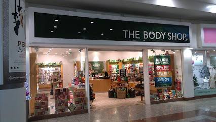
The Body Shop
23.2 km
Compact MediaCityUK branch of The Body Shop with core cruelty‑free ranges, seasonal gifts and refill options on the Salford Quays Quayside.
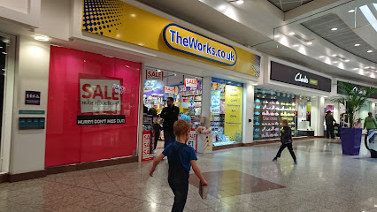
The Works
23.3 km
Unleash creativity at unbeatable prices: books, crafts, toys and more in Salford Quays' discount haven.
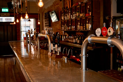
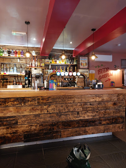
Essential bars & hidden hideouts
Bold Street House
2.1 km
A lively cocktail bar and coffee shop in Warrington offering expertly crafted drinks, delicious food, and a warm, welcoming atmosphere.
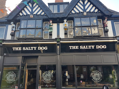
The Salty Dog
13.4 km
A lively, dog-friendly pub in Northwich offering great beer, live music, and a welcoming community atmosphere.
Cheshire Tap
16.7 km
Discover Cheshire Tap, Altrincham’s cozy craft beer bar with top local ales, a lively atmosphere, and a spacious garden retreat.
Lost & Found Knutsford
16.9 km
A stylish bar and pub in historic Knutsford blending vibrant atmosphere with contemporary dining and drinks.
Little Fifteen
19.6 km
Stylish wine bar and Italian restaurant in Wigan, blending vibrant atmosphere with classic design and a curated wine selection.
The Wiend Bar
19.7 km
Energetic cocktail bar and nightclub in Wigan offering strong drinks, vibrant DJ sets, and a lively atmosphere for late-night socializing.
Fox & Barrel
20.3 km
Charming Cheshire country pub offering exceptional British fare, a welcoming atmosphere, and scenic beer garden in Cotebrook near Tarporley.
Sherringtons Bar
20.7 km
A welcoming and lively bar in Wigan offering great drinks and a cozy atmosphere for locals and visitors alike.
Waggon & Horses
22.0 km
A lively traditional British pub in Westhoughton offering hearty fare, well-kept beers, and a welcoming community atmosphere.
Under the oak bar
22.0 km
Cozy bar retreat in Ellesmere Port’s Cheshire Oaks, blending local ales, live music, and a friendly atmosphere for shoppers and visitors alike.
The Dockyard
23.2 km
Rugged dockside pub in MediaCityUK: cask ales, hearty pies, and industrial charm for after-work vibes and Quays camaraderie.
SEVEN BRO7HERS BEERHOUSE Media City
23.3 km
Craft beer haven in MediaCityUK: house-brewed IPAs, pizzas, and lively vibes await at Seven Bro7hers' Salford outpost, perfect for post-work pints or casual hangs.
Craftbrew
23.3 km
Salford Quays' craft beer haven: artisan brews, tapas, and coffee in industrial-chic style, from dawn brunch to midnight pours.
11 Central
23.4 km
Riverside bar in MediaCityUK serving craft brews and bites amid Salford's creative quayside energy—ideal for relaxed evenings with canal views.

Reflexion Lounge Manchester Shisha
23.9 km
Luxury glass-fronted shisha lounge on Salford Quays, blending waterfront views, flavorful hookahs, Moroccan teas, and plush VIP vibes for unforgettable evenings.
Nightclubs & after hour spots
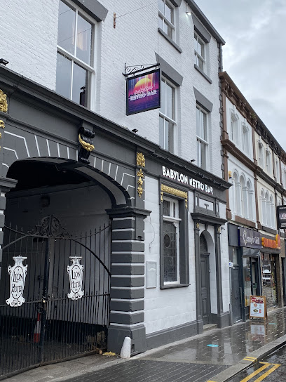
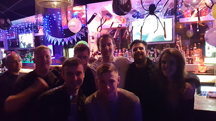
Babylon Retro Bar
2.1 km
Dive into Warrington’s vibrant retro nightlife with classic 80s and 90s tunes at Babylon Retro Bar, your weekend hotspot for music and fun.
Reflex & Babylon
2.1 km
Experience Warrington’s vibrant nightlife at Reflex & Babylon, a lively nightclub and bar blending energetic music with a welcoming atmosphere.
The Establishment
8.6 km
A vibrant Widnes nightclub offering lively events, friendly staff, and a spacious venue for unforgettable nights out.
Ibiza Nightclub
19.5 km
Experience Wigan’s vibrant nightlife at Ibiza Nightclub, where music, dance, and unforgettable Saturday nights come alive until dawn.
Pure Nightclub
19.6 km
Experience Wigan’s vibrant nightlife at Pure Nightclub, where energetic beats, stylish vibes, and unforgettable late-night memories come alive every Saturday.

Underground
24.3 km
Experience classic rave vibes and late-night energy at Underground, Bolton’s intimate clubbing hotspot in Farnworth.
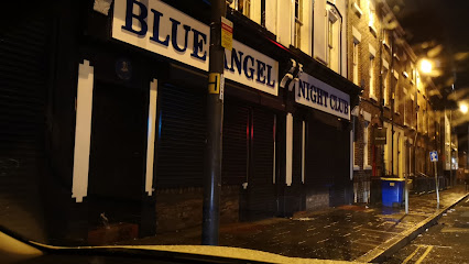
The Blue Angel Nightclub
25.0 km
Liverpool's dingy dive for 60s rock legends, dirt-cheap drinks, and sweaty throwback dances—where The Beatles once rocked and students still rage till dawn.
Cool It
25.1 km
A multi-level, student-friendly nightclub on Seel Street offering loud DJ nights, bargain entry and packed late‑night dancefloors.
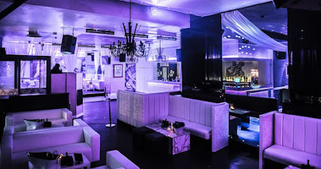
Pure Nightlounge
25.2 km
Liverpool’s boutique R&B nightspot with VIP booths, tight dancefloor energy and a late-night, fashion-forward vibe.
Heebie Jeebies
25.2 km
Liverpool's eclectic nightlife heart: multi-level bar, live music basement, courtyard hangs, and anthemic nights until dawn on Seel Street.
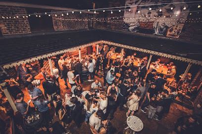
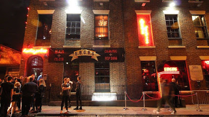
EBGBS
25.2 km
Liverpool's gritty basement nightclub where live indie gigs, craft cocktails, and underground vibes fuel epic nights until 4am in the heart of Seel Street.
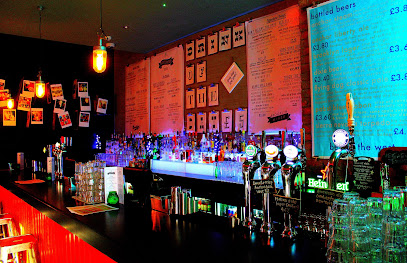
BrooklynMixer
25.2 km
Liverpool's original R&B haven on Seel Street: three floors of hip-hop beats, craft cocktails, leather lounges, and private party vibes from dusk till dawn.
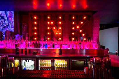
Ink Bar Liverpool
25.2 km
Liverpool's premier R&B and house nightclub, where stylish cocktails, thumping beats, and luxury vibes fuel unforgettable nights on Wood Street.
Mandy & Graham’s
25.2 km
Experience Chester’s vibrant nightlife at Mandy & Graham’s, where pulsating beats and lively crowds create unforgettable party nights.
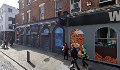
Aura
25.3 km
Dive into Liverpool's pulsating beats at Aura Nightclub, where Afrobeats and R&B fuel intimate, high-energy nights in Ropewalks' vibrant core.
For the vibe & atmosphere seeker
- Scenic
- Unique
- Adventurous
For the design and aesthetic lover
- Industrial Designs
- Vintage Styles
For the architecture buff
- Historic
- Industrial
- Landmarks
For the view chaser and sunset hunter
- Waterfront
- Panoramas
For the social media creator & influencer
- Architectural Shots
- Photo Spots
For the eco-conscious traveler
- Public-Transport Accessible
- Car-Free Access
For the kind of experience you’re after
- Cultural Heritage
- Photowalk
- Day Trip
- Myth & Legends
For how adventurous you want the journey to be
- Easy Access
Location Audience
- Family Friendly
- Solo Friendly
- Couple Friendly
- Senior Friendly
- Wheelchair Access


