Great Yarmouth’s Medieval Town Wall
Walk the mile-long remains of one of England’s longest medieval town walls, where flint towers and ancient defences tell the story of a powerful fishing port.
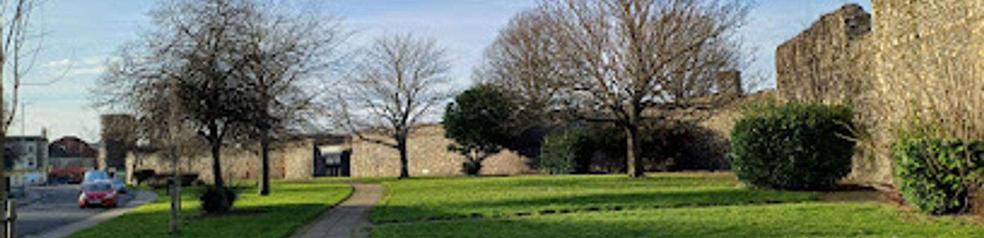
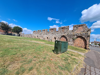
Wander along the remains of Great Yarmouth’s 13th-century town wall, one of England’s longest and best-preserved medieval defences. Stretching nearly a mile, this flint-built circuit once protected a wealthy fishing port with towers, gates and a deep ditch. Today, sections of the wall and several round towers survive, offering a quiet journey through centuries of coastal history, from royal charters and plague delays to wartime bombing and modern rediscovery.
A brief summary to Medieval Town Wall
- Blackfriars' Rd, Great Yarmouth NR30, Blackfriars' Rd, Great Yarmouth, Great Yarmouth, GB
- +441493846346
- Visit website
- Duration: 1 to 2 hours
- Free
-
 Outdoor
- Mobile reception: 5 out of 5
- Monday 12 am-12 am
- Tuesday 12 am-12 am
- Wednesday 12 am-12 am
- Thursday 12 am-12 am
- Friday 12 am-12 am
- Saturday 12 am-12 am
- Sunday 12 am-12 am
Local tips
- Start at Blackfriars Tower or St Christopher’s Church area, where information boards help orient you along the wall’s route.
- Wear comfortable shoes; the walk follows pavements and park paths, with some uneven surfaces and steps in places.
- Visit on a weekday morning to avoid crowds and enjoy a quieter, more reflective experience along the historic circuit.
- Combine your walk with a visit to the nearby rows and quayside to get a fuller sense of Great Yarmouth’s medieval layout and maritime history.
For the on-the-go comforts that matter to you
- Restrooms
- Drink Options
- Drinking Water
- Food Options
- Seating Areas
- Sheltered Areas
- Trash Bins
- Information Boards
Getting There
-
On foot from the town centre
From Great Yarmouth’s main shopping area or market place, walk east along Blackfriars Road; the medieval wall and Blackfriars Tower are clearly visible within 10–15 minutes on foot, following signed routes and pavements.
-
By bus from the seafront
Local bus services run frequently from the seafront promenade to stops near Blackfriars Road; from there, the wall is a short, level walk of about 5 minutes along accessible streets and paths.
-
From the railway station
Great Yarmouth station is about 20 minutes’ walk away; follow signs through the town centre and along Blackfriars Road, using pavements and pedestrian crossings to reach the wall area.
-
By car with local parking
Several public car parks are located within a 10–15 minute walk of the wall; park in the town centre or near the seafront and walk in, as on-street parking near the wall itself is limited and often restricted.
Medieval Town Wall location weather suitability
-
 Any Weather
-
 Mild Temperatures
-
 Clear Skies
Discover more about Medieval Town Wall
England’s Longest Medieval Town Wall
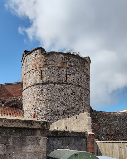
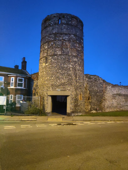
Great Yarmouth’s medieval town wall is among the most significant surviving urban defences in England, notable for its length and endurance. Authorized by King Henry III in 1261 and begun in the late 13th century, the wall originally encircled the town with a circuit of roughly a mile, built largely of local flint in a distinctive knapped finish. Though much of the original structure has been lost to time, war and redevelopment, enough remains to trace the historic boundary and appreciate the scale of this ambitious civic project. The wall was constructed to protect one of England’s most important medieval fishing ports, whose wealth from the herring trade made it a prime target for raids. Its design combined a stone wall with a deep ditch and a series of towers and gates, forming a sophisticated defensive network that controlled access and provided lookout points over the surrounding marshes and river approaches.Towers, Gates and the Town’s Defences
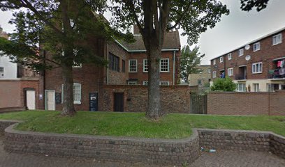
The original circuit included around ten gates and fifteen towers, many of them round in plan – a later medieval adaptation that helped resist cannon fire by deflecting shots and distributing impact. Eleven of these round flint towers still stand today, scattered along the old perimeter, including the well-known Blackfriars Tower near the former Dominican friary. These towers once housed guards and weapons, and their survival gives a tangible sense of the town’s fortified past. The ditch that ran alongside the wall was once a formidable obstacle, and in later centuries was supplemented by earthworks and ramparts, especially during periods of heightened threat. The town’s position on a narrow peninsula meant that the river and sea provided natural defences on one side, so the wall was concentrated on the more vulnerable landward approaches, creating a compact but effective defensive ring.From Royal Charter to Modern Rediscovery
Construction of the wall was funded by a special tax known as murage, reflecting the town’s status and the crown’s recognition of its strategic and economic importance. Work was slow, delayed by events such as the Black Death in the mid-14th century, and the wall took well over a century to complete. By the late medieval period, Great Yarmouth stood as a well-fortified town, its walls and towers a symbol of civic pride and security. Over the centuries, many of the gates were removed and sections of the wall were built over or demolished, particularly during 19th- and 20th-century redevelopment. The town suffered extensive damage during the Second World War, which further eroded its medieval fabric. Despite these losses, the surviving stretches of wall and towers have been recognized as important heritage, and efforts continue to document, preserve and interpret this remarkable survival.Walking the Wall Today
Today, the medieval town wall is best experienced as a walking route through Great Yarmouth’s historic core. Sections of the flint wall are visible in parks, along streets and behind modern buildings, often marked by information boards that explain their history and original layout. Following the approximate line of the wall offers a unique perspective on how the town was shaped by its defences, with views across the old rows, quays and later developments. The walk passes several of the surviving towers and former gate sites, each with its own story. The route is informal and self-guided, making it ideal for history enthusiasts, casual walkers and those interested in urban archaeology. While the wall is no longer a continuous circuit, its fragments form a powerful narrative of medieval engineering, civic ambition and the changing fortunes of a coastal town.Iconic landmarks you can’t miss
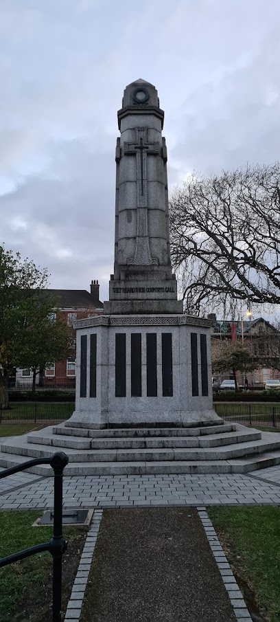
War Memorial
0.6 km
A solemn tribute in Great Yarmouth, honouring local service personnel and civilians lost in 20th-century conflicts with quiet dignity and enduring respect.
Pudding tower
0.9 km
Explore Pudding Tower, a medieval defensive relic in Great Yarmouth, steeped in history and local lore from the town’s fortified past.
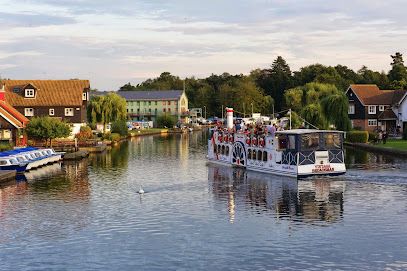
Potter Heigham bridge
15.8 km
Historic 14th-century bridge and boating hub in Norfolk Broads, blending medieval charm with scenic waterways and vibrant village life.
TourNorfolk
23.1 km
Discover the essential internet marketing services at TourNorfolk, where local charm meets digital expertise in the heart of Barton Turf.
Barton House Railway
24.8 km
Discover the magic of miniature railways at Barton House Railway, a charming museum and attraction in Wroxham, Norwich, perfect for families and railway enthusiasts.
Hoveton Hall Estate
24.8 km
Experience the beauty and tranquility of Hoveton Hall Estate, a serene tourist attraction in Norfolk featuring exquisite gardens and rich history.
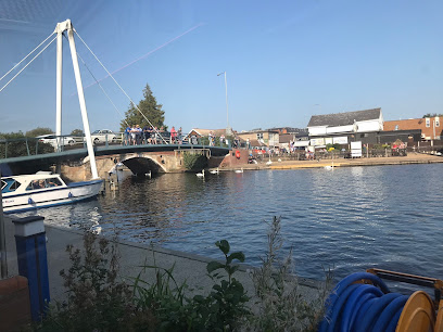
Wroxham Bridge
25.0 km
Historic 17th-century bridge and vibrant boating hub connecting Wroxham and Hoveton on the scenic Norfolk Broads.
Broads Tours
25.0 km
Discover the serene beauty of the Norfolk Broads with Broads Tours – your gateway to unforgettable aquatic adventures.
Faircraft Loynes
25.1 km
Discover the beauty of the Broads with Faircraft Loynes, your premier boat tour agency and rental service in Wroxham, offering unforgettable waterway experiences.
Wroxham Miniature Worlds
25.1 km
Explore the enchanting world of Wroxham Miniature Worlds, where intricate models and engaging exhibits create a magical experience for visitors of all ages.

Wroxham Barns
26.0 km
Experience the charm of Wroxham Barns, where shopping, dining, and family fun come together in the heart of Norfolk's beautiful countryside.
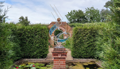
East Ruston Old Vicarage Garden
27.2 km
Explore the breathtaking East Ruston Old Vicarage Garden, a hidden gem in Norfolk, filled with stunning flora, serene landscapes, and tranquil charm.
Whitlingham Country Park
27.2 km
Explore Whitlingham Country Park: a tranquil retreat with picturesque trails, diverse wildlife, and exciting outdoor activities near Norwich.

Happisburgh Owls
27.6 km
Explore the fascinating world of owls at Happisburgh Owls, a unique tourist attraction on the stunning Norfolk coast, perfect for families and wildlife lovers.

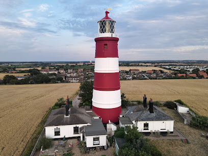
Happisburgh Lighthouse
27.7 km
Discover Happisburgh Lighthouse, a historic maritime beacon offering breathtaking views and a glimpse into Norfolk's coastal heritage.
Unmissable attractions to see
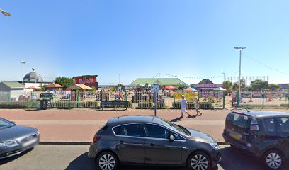
Medieval Town Wall Open Space
0.0 km
Explore one of England’s longest medieval town walls, a mile of historic fortifications nestled in tranquil parkland at Great Yarmouth.
Time and Tide Museum of Great Yarmouth Life
0.1 km
Explore Great Yarmouth’s maritime heritage in a beautifully restored Victorian herring curing works, with immersive exhibits and interactive experiences.
The South East Tower
0.1 km
Stay in Great Yarmouth’s medieval South East Tower—an iconic historic fortress turned unique holiday retreat with original features and sea views.
Old Merchant's House
0.4 km
Step into Great Yarmouth’s mercantile past at the Old Merchant’s House and Row Houses, rare survivors of 17th-century maritime prosperity.
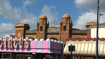
Hippodrome Circus
0.4 km
Britain’s only surviving total circus building, the Hippodrome Circus dazzles with historic charm and spectacular seaside performances.
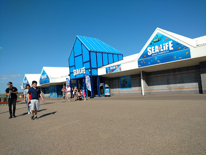
SEA LIFE Great Yarmouth
0.4 km
Dive into the vibrant marine world of SEA LIFE Great Yarmouth, where sharks, penguins, and interactive exhibits await on the Norfolk coast.
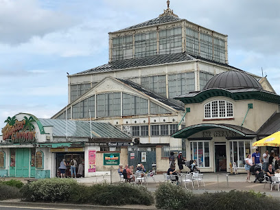
Winter Gardens
0.4 km
Historic Victorian Winter Gardens in Great Yarmouth, undergoing a major restoration to become a sustainable seaside cultural landmark by 2028.
Great Yarmouth Row Houses
0.4 km
Step into Great Yarmouth’s unique medieval Rows, where early 17th-century merchant homes reveal centuries of maritime history and urban life.
Merrivale Model Village
0.4 km
Explore over an acre of enchanting miniature English countryside with handcrafted models, garden railway, and family fun on Great Yarmouth’s seafront.
The Tolhouse
0.5 km
Explore Great Yarmouth’s 12th-century Tolhouse Gaol, a medieval prison and courtroom turned immersive museum of crime and punishment.
Pleasure Beach Gardens
0.5 km
Free seaside fun with quirky attractions, family rides, and award-winning tearooms—a relaxed alternative to the main park.
Pleasure Beach Mining Company
0.5 km
Discover hidden treasures and family fun at the interactive Pleasure Beach Mining Company in Great Yarmouth’s charming Pleasure Beach Gardens.
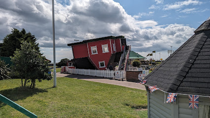
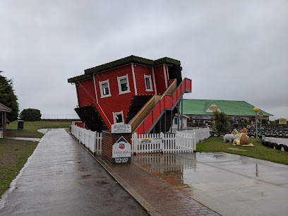
The Upside Down House - Great Yarmouth
0.5 km
Step into a topsy-turvy world where ceilings become floors and fun defies gravity at Great Yarmouth’s unique Upside Down House.
Learners’ Driving School (Kids’ coin-operated cars)
0.5 km
Where young drivers take the wheel in a safe, fun seaside setting.
Grand Prix
0.5 km
Family-friendly seaside fun with mini golf, kids’ driving tracks, and unique attractions in a relaxed garden setting by Great Yarmouth’s coast.
Essential places to dine
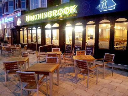
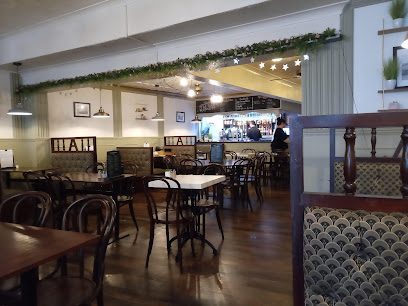
HMS Hinchinbrook great Yarmouth
0.4 km
Classic British fish restaurant on Great Yarmouth’s Marine Parade, blending tradition with modern flavors in a friendly seaside setting.
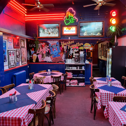
Zaks Yankee Traveller
0.4 km
Experience vibrant American dining with huge portions, diverse vegan options, and a lively atmosphere in the heart of Great Yarmouth.
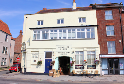
Quayside Plaza
0.6 km
Mediterranean-inspired dining with charming waterfront views and warm hospitality in the heart of Great Yarmouth’s South Quay.
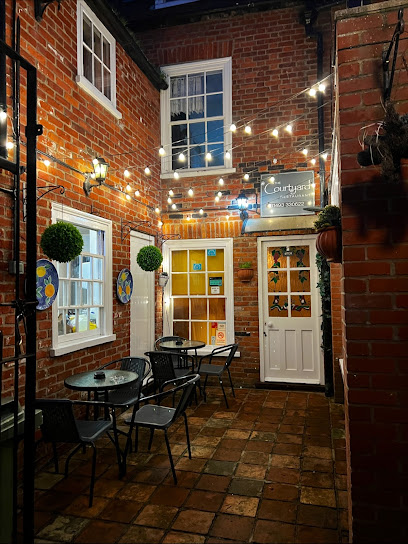
The Courtyard Italian Restaurante
0.7 km
A cozy, award-winning Italian gem in Great Yarmouth serving fresh, homemade dishes with warm, attentive service and inclusive menus.
Alexandra Restaurant
0.7 km
A warm, family-run restaurant in Great Yarmouth serving traditional English and Mediterranean homemade dishes with attentive service.
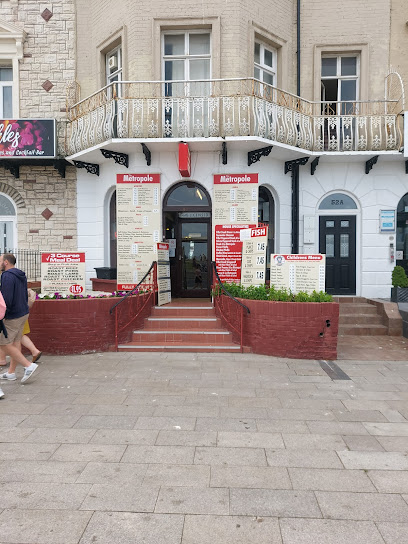
Metropole Restaurant
0.8 km
Classic British comfort food served with friendly warmth on Great Yarmouth’s vibrant Marine Parade.
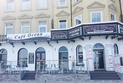
Ocean Spray
0.8 km
Fresh seafood and succulent steaks served with stunning sea views on Great Yarmouth’s iconic Marine Parade.
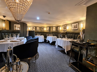
JAN Restaurant
0.8 km
Award-winning fine dining in an intimate art deco setting overlooking Great Yarmouth’s iconic seafront.
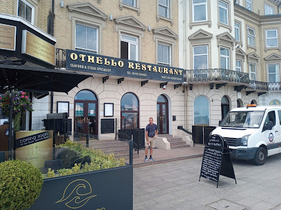
Othello
0.8 km
A cozy Mediterranean and seafood restaurant on Great Yarmouth’s Marine Parade, blending vibrant flavors with warm hospitality.
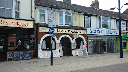
The Arches
0.8 km
A family-friendly British restaurant in Great Yarmouth serving hearty traditional dishes in a casual, welcoming setting.
Chico's Restaurant
0.8 km
Fresh seafood and succulent steaks served with warm hospitality on Great Yarmouth’s vibrant seafront.
Charlie's Tapas Restaurant
0.8 km
Experience authentic Spanish tapas with diverse vegetarian and vegan options in a warm, welcoming setting at Charlie's Tapas in Great Yarmouth.
Charcoal Grill
0.9 km
A beloved Great Yarmouth steakhouse serving hearty, fresh dishes with warm hospitality on the scenic Marine Parade.

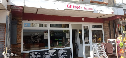
Gilfreds Restaurant
0.9 km
A beloved Great Yarmouth gem serving authentic English home-cooked meals and hearty Sunday carveries in a cozy, welcoming setting.
Strollers Restaurant
1.0 km
Contemporary seafood dining with fresh flavors and a relaxed, elegant atmosphere on Great Yarmouth’s scenic Marine Parade.
Markets, malls and hidden boutiques
Aurora Gift Store
0.4 km
Discover charming gifts and souvenirs in the heart of Great Yarmouth at Aurora Gift Store, your local stop for unique keepsakes.
Gift Emporium
0.4 km
Discover unique maritime-inspired gifts and authentic local crafts at Great Yarmouth’s charming Gift Emporium by Wellington Pier.
Life's A Beach
0.5 km
Charming seaside gift shop on Marine Parade offering beach-themed souvenirs and a taste of Great Yarmouth’s coastal spirit.
Picnic Patch
0.6 km
Discover timeless retro fashion and unique vintage treasures at Picnic Patch, Great Yarmouth’s charming vintage clothing boutique.

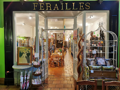
Ferailles Shop - (Knot Just A Furniture Shop!) - Great Yarmouth
0.6 km
Discover Ferailles Shop in Great Yarmouth – a treasure trove of antiques, art, and unique fashion accessories that tell timeless stories.
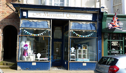
Mermaid Quay
0.6 km
Discover handcrafted gifts and local artisan treasures in the heart of Great Yarmouth’s historic seaside town.
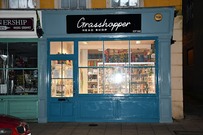
Grasshopper
0.6 km
Discover unique gifts and local treasures at Grasshopper, Great Yarmouth’s charming gift shop on King Street.
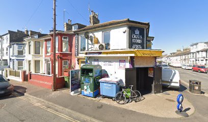
Crown Stores
0.7 km
Your friendly neighborhood convenience store in Great Yarmouth, open daily with a wide range of essentials and long hours for your convenience.
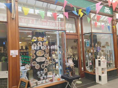
R&D Crafts
0.7 km
Discover unique handcrafted gifts and local artistry in the charming Victoria Arcade of Great Yarmouth.
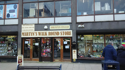
Martyns Walk Round Store
0.7 km
A quirky Great Yarmouth gift shop with a gothic and fantasy twist, perfect for unique alternative gifts and spooky collectibles.
Steve's 'n' Mix
0.7 km
Traditional British sweet shop preserving seaside nostalgia on Great Yarmouth's Regent Road.
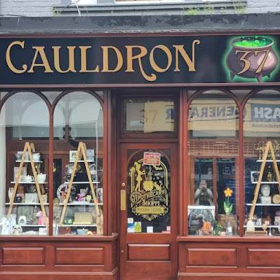
Cauldron37
0.7 km
Discover unique gifts and local charm at Cauldron37, a cozy boutique in the heart of Great Yarmouth’s vibrant Regent Street.
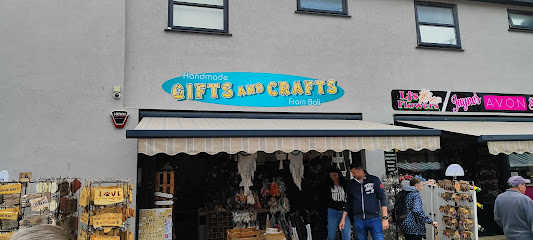
Handmade GIFTS AND CRAFTS From Bali
0.7 km
Discover authentic Balinese handmade crafts and unique gifts that bring vibrant artistry from Bali to Great Yarmouth’s Regent Road.
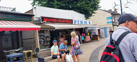
Branded Collectibles
0.7 km
Discover a vast world of licensed collectibles and rare memorabilia at Branded Collectibles, Great Yarmouth’s ultimate treasure trove for enthusiasts.
Craftmania
0.8 km
A welcoming craft shop in Great Yarmouth offering quality supplies, expert advice, and a vibrant creative community.
Essential bars & hidden hideouts
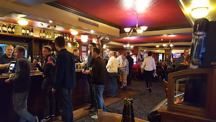
The Red Herring
0.1 km
A cozy, traditional Great Yarmouth pub offering quality ales, local charm, and a welcoming community atmosphere.
The Alexandra Freehouse
0.3 km
A lively family-run pub in Great Yarmouth offering traditional ales, hearty food, and a warm, welcoming atmosphere.
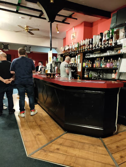
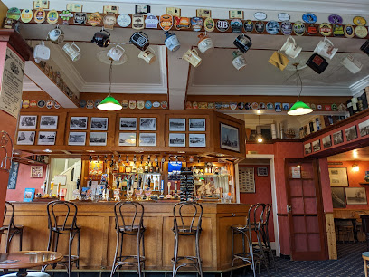
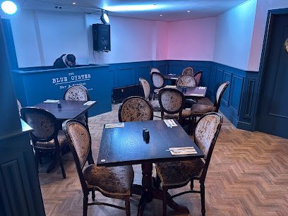
The Blue Oyster
0.4 km
A lively Great Yarmouth bar blending expertly crafted cocktails, hearty food, and warm hospitality in a vibrant social setting.
The Marine
0.4 km
A lively beachfront pub and hotel in Great Yarmouth, blending traditional charm with vibrant entertainment and family-friendly dining.
Liberty's Rock Cafe
0.4 km
A vibrant rock-themed pub in Great Yarmouth offering lively atmosphere, affordable drinks, and extended late-night hours in the heart of town.
The Landmark
0.6 km
A lively seafront pub with family-friendly play area, freshly grilled meals, and a warm, rustic atmosphere in the heart of Great Yarmouth.
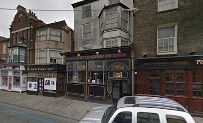
Uptown Bar
0.6 km
A friendly, affordable bar in Great Yarmouth offering lively atmosphere and good ales in a casual, welcoming setting.
Peggotys Lounge
0.6 km
Experience vibrant nightlife and expertly crafted cocktails at Peggotys Lounge, Great Yarmouth’s lively pub and restaurant hotspot.
The Rumbold Arms
0.7 km
A friendly, family-oriented pub in Great Yarmouth known for hearty home-cooked meals, lively community spirit, and a spacious garden with play area.
Merlin’s Sports Bar
0.7 km
A vibrant sports bar in Great Yarmouth offering live games, pool, snooker, and a lively social scene with sea views and great drinks.
The Great Eastern Party Bar
0.7 km
A lively Great Yarmouth hotspot blending live music, karaoke, and cocktails for unforgettable nights out in a vibrant social setting.
The Empire
0.7 km
A vibrant Great Yarmouth landmark blending live music, street food, craft beer, and community spirit on the iconic Marine Parade.
Troll Cart Wetherspoons Great Yarmouth
0.7 km
Lively Wetherspoon pub and hotel in Great Yarmouth offering affordable British fare, comfy rooms, and a friendly atmosphere near the seafront.
In The Mix
0.8 km
Chic cocktail bar and dessert haven on Great Yarmouth’s Marine Parade, blending stylish vibes with expertly crafted drinks and sweet treats.
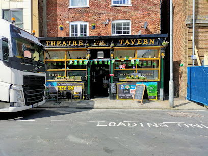
Theatre Tavern
0.8 km
A lively old-school pub in Great Yarmouth famed for karaoke nights, affordable drinks, and a welcoming, friendly atmosphere.
Nightclubs & after hour spots
Buddha Club
0.5 km
Experience Great Yarmouth’s vibrant nightlife at Buddha Club, where modern beats, colorful lights, and coastal vibes create unforgettable weekend nights.
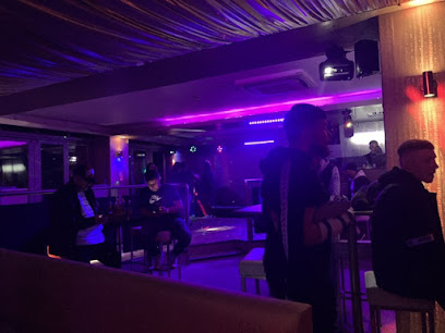
Mavvy’s
0.5 km
Experience Great Yarmouth’s vibrant nightlife at Mavvy’s, where music, dancing, and lively atmosphere come alive until the early hours.

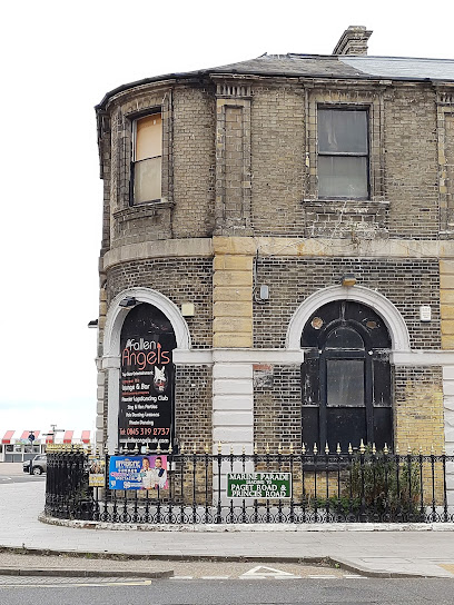
Fallen Angels
1.1 km
Experience vibrant nightlife and adult entertainment at Fallen Angels, Great Yarmouth’s premier late-night club on Marine Parade.
Moonlight Cabaret & Karaoke
1.7 km
Experience lively karaoke nights and captivating cabaret shows in the heart of Great Yarmouth’s vibrant nightlife scene.
The Bermuda Club
10.4 km
A welcoming nightclub and bar in Hemsby offering lively evenings, family-friendly nights, and affordable drinks near Norfolk’s scenic coast.

Loft Nightclub
29.0 km
Norwich’s vibrant gay nightclub with over 30 years of inclusive nightlife, music, and community spirit in the heart of the city.
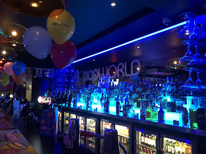
Popworld - Norwich
29.1 km
Norwich’s vibrant late-night hotspot for pop hits, friendly vibes, and unforgettable party nights on Prince of Wales Road.
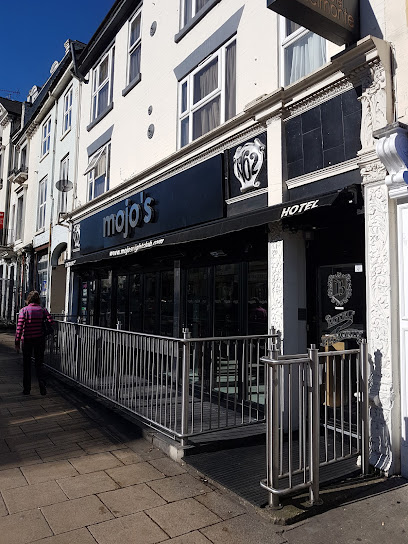
Mojo's
29.1 km
Mojo's: Norwich's gritty, no-frills nightclub pulsing with late-night beats and authentic urban energy.
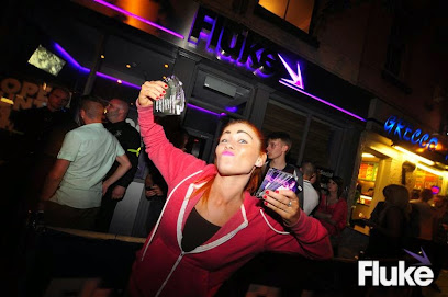
Fluke
29.1 km
Experience Norwich’s vibrant nightlife at Fluke, where great music, affordable drinks, and a lively crowd come together for unforgettable nights.
Mantra
29.1 km
Experience vibrant nightlife and great music at Mantra Nightclub, Norwich’s energetic weekend party destination with friendly staff and affordable drinks.

Sugar & Spice - Strip Club and Lap Dancing Norwich
29.2 km
Norwich’s premier American-style strip club offering vibrant entertainment, VIP experiences, and a welcoming atmosphere for all guests.

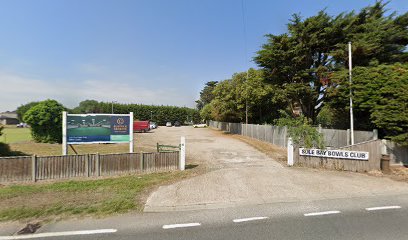
Sole Bay Bowls Club
29.8 km
Discover the serene beauty and community spirit of Sole Bay Bowls Club in Southwold, where leisure and tradition blend seamlessly.
St Edmund's Hall
30.5 km
Discover the vibrant performing arts scene at St Edmund's Hall in Southwold, where culture and scenic beauty meet for an unforgettable experience.
Southwold Cricket Club
30.7 km
Discover the rich heritage of cricket at Southwold Cricket Club, where tradition meets the enchanting charm of Southwold's coast.
Southwold Reydon & District Constitutional Club
30.7 km
Experience the local social scene at Southwold Reydon & District Constitutional Club, where community spirit and friendly faces await.
For the vibe & atmosphere seeker
- Relaxing
- Tranquil
- Scenic
- Historic
- Unique
For the design and aesthetic lover
- Rustic Designs
- Vintage Styles
For the architecture buff
- Historic
- Landmarks
- Heritage Neighborhoods
For the view chaser and sunset hunter
- Iconic Views
- Panoramas
For the social media creator & influencer
- Instagrammable
- Photo Spots
- Selfie Spots
- Architectural Shots
For the eco-conscious traveler
- Public-Transport Accessible
- Low Impact
For the kind of experience you’re after
- Cultural Heritage
- Photowalk
- Day Trip
For how adventurous you want the journey to be
- Easy Access
Location Audience
- Family Friendly
- Senior Friendly
- Child Friendly
- Teen Friendly
- Wheelchair Access
- Solo Friendly
- Couple Friendly
- Solo Female Friendly
- Business Friendly


