Explore the Serenity of Bonita Creek Trail
Discover Bonita Creek Trail: A peaceful hiking haven in Fort Grant, Arizona, perfect for nature lovers and outdoor adventurers.
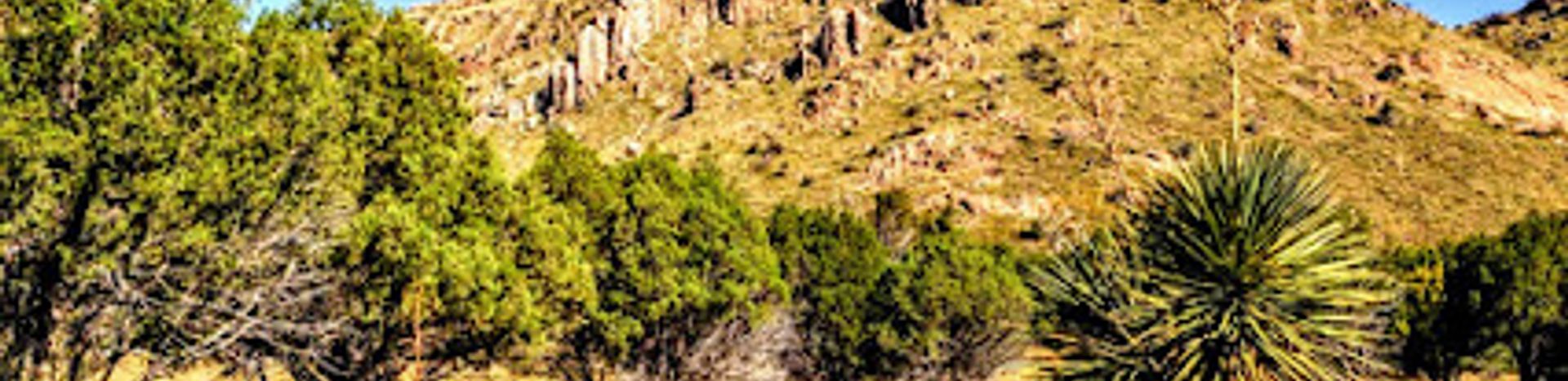
Nestled in the heart of Fort Grant, Arizona, Bonita Creek Trail offers an unforgettable hiking experience amid stunning natural beauty. This trail invites adventurers to immerse themselves in the tranquility of the Arizona wilderness, making it a must-visit for nature lovers and outdoor enthusiasts alike. With well-maintained pathways and picturesque views, Bonita Creek Trail is an excellent destination for both seasoned hikers and casual walkers seeking peace and inspiration in nature.
A brief summary to Bonita Creek Trail
- Fort Grant, Arizona, 85643, US
- Visit website
- Monday 12 am-12 am
- Tuesday 12 am-12 am
- Wednesday 12 am-12 am
- Thursday 12 am-12 am
- Friday 12 am-12 am
- Saturday 12 am-12 am
- Sunday 12 am-12 am
Local tips
- Bring plenty of water and snacks, as there are few amenities along the trail.
- Wear sturdy hiking boots to navigate the varying terrain comfortably.
- Visit early in the morning or late in the afternoon for cooler temperatures and fewer crowds.
- Keep your camera ready to capture the stunning views and local wildlife.
- Check local weather conditions before your hike to ensure a safe experience.

Getting There
-
Car
If you are driving, start from the Chiricahua National Monument Visitor Center. Head southeast on Bonita Canyon Drive for approximately 7 miles. You will pass by beautiful scenery and may see wildlife along the way. The Bonita Creek Trailhead is located at the end of Bonita Canyon Drive, where the road ends. There is a parking area available, but it can fill up quickly during peak hours, so arrive early.
-
Public Transportation
Currently, there are limited public transportation options directly to Chiricahua National Monument. However, you can take a bus to the nearest larger town, which is Willcox, Arizona. From Willcox, you will need to arrange for a taxi or rideshare service to the monument. Once you arrive at the Chiricahua National Monument Visitor Center, follow the car directions provided above to get to the Bonita Creek Trail.
-
Hiking
If you are already in the Chiricahua National Monument and prefer to hike, you can access the Bonita Creek Trail from several nearby trails. Follow the signs from the Visitor Center to the trails that lead to Bonita Creek. Ensure you are equipped with proper hiking gear, water, and maps. The trail is well-marked, and you will enjoy the stunning views, especially in the early morning or late afternoon.
Discover more about Bonita Creek Trail
Iconic landmarks you can’t miss

Chiricahua Mountains
8.8 km
Explore a sky island of rock formations, hiking trails, and diverse wildlife in southeastern Arizona's Chiricahua Mountains. A natural wonderland!
Indian Bread Rocks Recreation Area
28.1 km
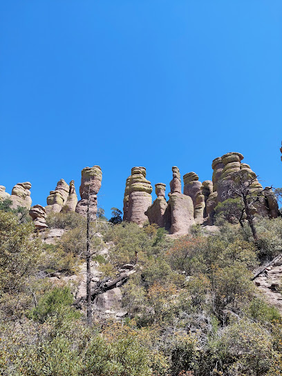
Explore the rugged beauty of Arizona's Dos Cabezas Mountains at Indian Bread Rocks Recreation Area.
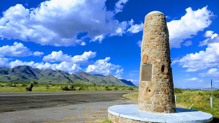
Geronimo Surrender Monument
41.9 km
Explore the Geronimo Surrender Monument in San Simon, Arizona, a historic landmark honoring the Apache leader's surrender and cultural significance.
Hot Well Dunes Recreation Area
57.4 km
Explore Arizona's Hot Well Dunes: Ride the sands, soak in hot springs, and camp under the stars in this unique desert recreation area.
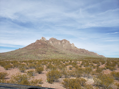
Dragoon Springs stagecoach stop
61.0 km
Discover the rich history of the Old West at the Dragoon Springs Stagecoach Stop, a significant landmark in Arizona's captivating landscape.
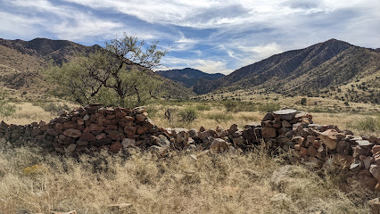
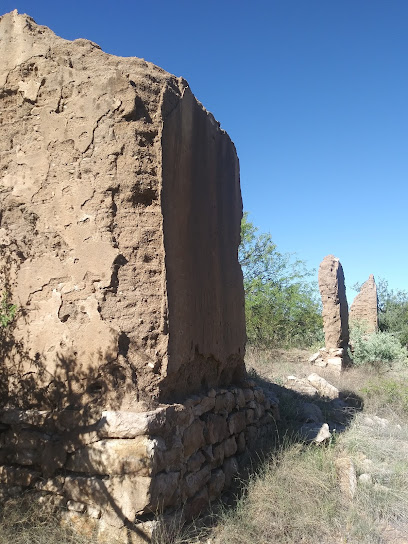
White House Ruins
63.4 km
Explore the historic White House Ruins in Dragoon, Arizona, and step back in time to experience the rugged beauty of the Old West.
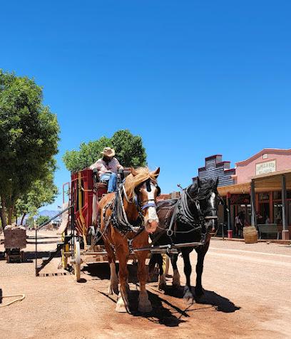
E Allen St
73.0 km
Step back into the Wild West on Tombstone's historic Allen Street, where legends and history come alive.
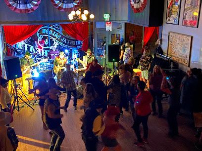
Wyatt Earp’s Oriental Saloon & Theater
73.1 km
Experience the Wild West at Wyatt Earp's Oriental Saloon & Theater in Tombstone: Gunfights, live music, and a taste of history await!
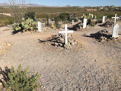
Boothill Graveyard
73.1 km
Discover the history of the Wild West at Boothill Graveyard in Tombstone, Arizona, where legendary figures rest in peace.
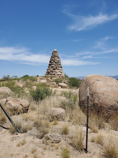
Ed Schieffelin Monument
75.4 km
Visit the final resting place of Tombstone's founder and discover the rich mining history of the Old West in the scenic Arizona desert.
The Bisbee B
80.6 km
A symbol of Bisbee's enduring spirit, the iconic 'B' on Chihuahua Hill represents community pride and a rich mining history.
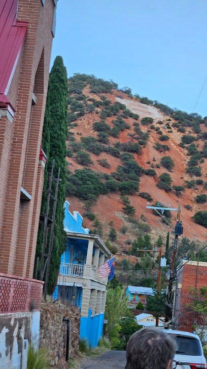
Rose's Place, Guest House
80.6 km
Experience Bisbee's charm at Rose's Place: A historic guest house in Brewery Gulch, offering comfort and easy access to local attractions.
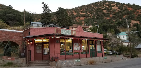
The Shady Dell
80.8 km
Experience retro charm at The Shady Dell in Bisbee, AZ: beautifully restored vintage trailers offering a unique and nostalgic getaway.
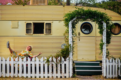
Abandoned Pool Snooker Joker Pool Libations
80.9 km
Step back in time at Bisbee's Abandoned Pool Snooker Joker Pool Libations, a relic of the town's vibrant past on Erie Street.
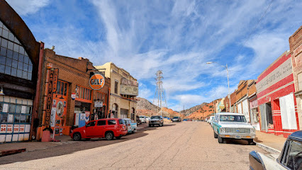
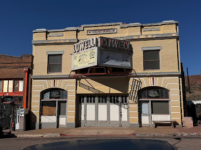
Erie Street Historic Lowell Ghost Town Bizbee, AZ
80.9 km
Experience a 1950s time capsule in Lowell, Arizona's Erie Street Historic Ghost Town, a photographer's dream with vintage cars and storefronts.
Unmissable attractions to see

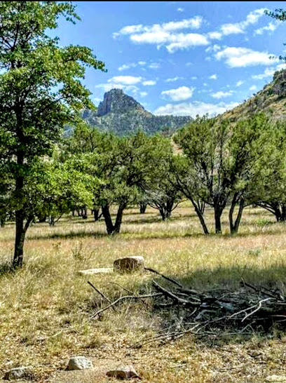
Bonita Creek Loop Trail
0.8 km
Discover the breathtaking scenery and diverse wildlife at Bonita Creek Loop Trail, a hiking haven in the heart of Arizona's natural beauty.
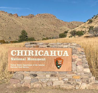
Chiricahua National Monument Sign
1.3 km
Experience the stunning beauty and unique rock formations of Chiricahua National Monument in Arizona, a must-visit for nature lovers and adventure seekers.
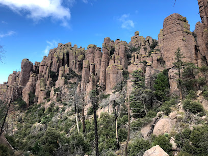
Chiricahua National Monument Visitor Center
1.8 km
Explore the breathtaking landscapes and unique geological formations at the Chiricahua National Monument Visitor Center in Arizona.
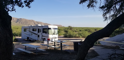
Bonita Canyon Campground
2.0 km
Explore the beauty of Bonita Canyon Campground in Willcox, AZ, a perfect getaway for nature lovers and adventure seekers with stunning scenery and outdoor activities.
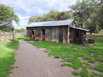
Chiricahua National Monument
3.2 km
Discover the majestic landscapes and rich history of Chiricahua National Monument, a hiking paradise in Arizona's stunning wilderness.
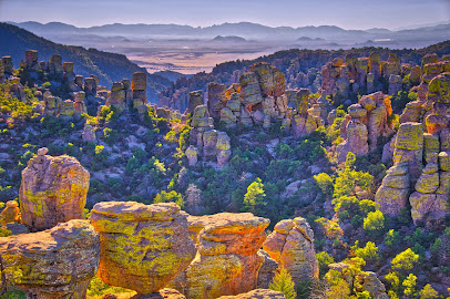
Sarah Deming Trailhead
4.0 km
Discover the breathtaking beauty of Sarah Deming Trailhead in Willcox, Arizona, an ideal hiking area for nature enthusiasts and adventure seekers.
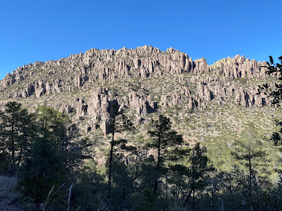
Sugarloaf Mountain Trail
4.7 km
Discover the stunning landscapes and invigorating adventures that await you on the Sugarloaf Mountain Trail in Willcox, Arizona.
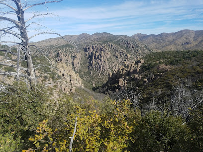
Heart of Rocks Loop
5.2 km
Discover the breathtaking beauty of Heart of Rocks Loop in Willcox, Arizona, a hiking paradise with stunning rock formations and vibrant desert scenery.
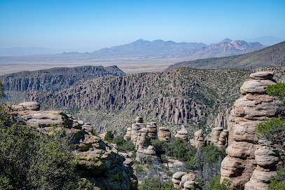
Big Balanced Rock
5.3 km
Discover the enchanting Big Balanced Rock in Fort Grant, Arizona, a stunning geological marvel surrounded by serene desert landscapes.
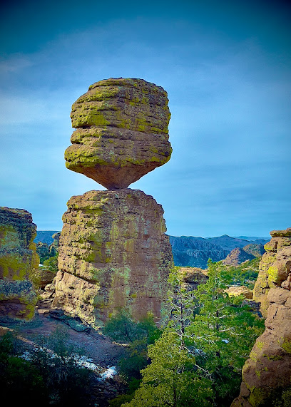
Echo Canyon Trail
5.4 km
Hike through a geological wonderland of towering rock formations and hidden grottoes in Arizona's Chiricahua National Monument.
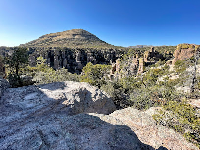
Duck on a Rock
5.4 km
Explore Duck on a Rock, a unique tourist attraction in Arizona with stunning scenery and a tranquil atmosphere perfect for outdoor enthusiasts.

Echo Canyon Trailhead
5.6 km
Explore the scenic trails of Echo Canyon Trailhead in Arizona, a hiker's paradise with stunning views and diverse landscapes perfect for outdoor adventures.
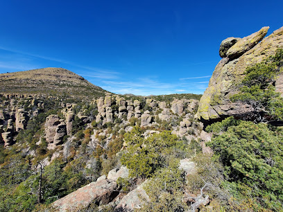
Ed Riggs Trail
5.7 km
Discover the breathtaking landscapes and serene hiking experience at Ed Riggs Trail in Willcox, Arizona, a hidden gem for outdoor enthusiasts.
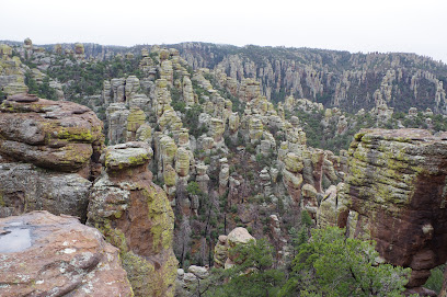
Balanced Rock Trail
5.9 km
Hike through a wonderland of rocks on the Balanced Rock Trail near Willcox, Arizona, and witness nature's artistry etched in stone.
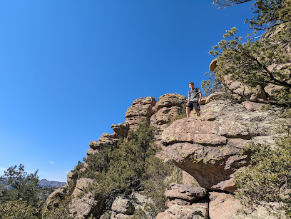
Massai Point
6.0 km
Experience breathtaking panoramic views and explore the unique rock formations at Massai Point in Chiricahua National Monument.
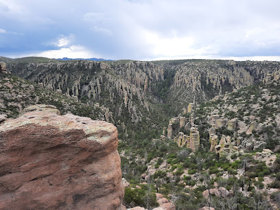
Essential places to dine

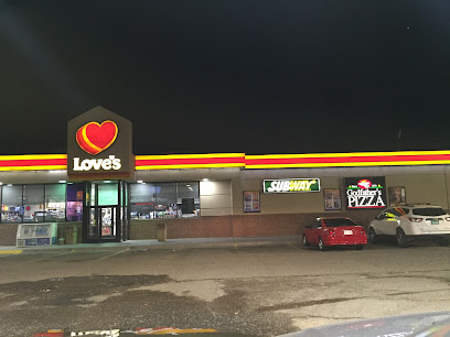
Godfather's Pizza Express
71.4 km
Savor the flavors of Italy at Godfather's Pizza Express - where delicious pizza meets warm hospitality in Lordsburg.
The Thirsty Lizard Bar + Grill + Events
75.2 km
Discover great food, local brews, and vibrant events at The Thirsty Lizard Bar + Grill + Events in McNeal - perfect for tourists seeking authentic experiences.
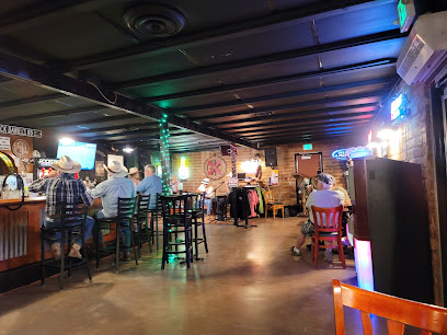
Dot’s Diner
80.8 km
Experience authentic American comfort food in Bisbee at Dot’s Diner - where every meal tells a story.
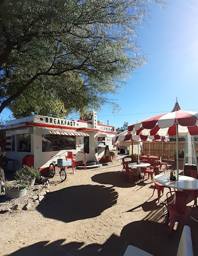
Bisbee Breakfast Club
80.8 km
Discover delightful breakfasts at Bisbee Breakfast Club - where hearty meals meet a cozy atmosphere in historic Bisbee.
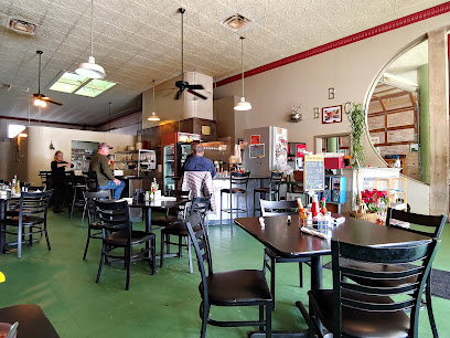
Lazy KJ Ranch BBQ
81.1 km
Discover authentic Southern barbecue at Lazy KJ Ranch BBQ in Bisbee, AZ - where flavor meets hospitality.
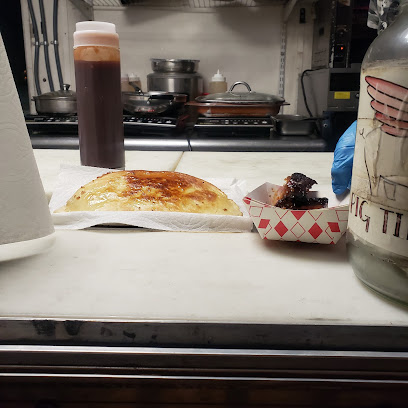
Bisbee's Table
81.1 km
Discover the exquisite New American cuisine at Bisbee's Table, where local flavors meet culinary creativity in charming Bisbee, Arizona.
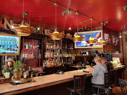
The Grass Stop Smoothie Bar
81.1 km
Discover refreshing smoothies and healthy breakfast delights at The Grass Stop Smoothie Bar in charming Bisbee, Arizona.
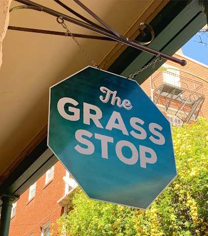
Bisbee Coffee Company Cafe & Roasters
81.1 km
Experience artisanal coffee at its finest at Bisbee Coffee Company Cafe & Roasters in Arizona's charming town of Bisbee.
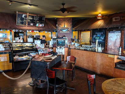
Poco Restaurant + Market
81.1 km
Experience vibrant vegan cuisine at Poco Restaurant + Market in Bisbee, where fresh ingredients meet local flavors in a charming setting.
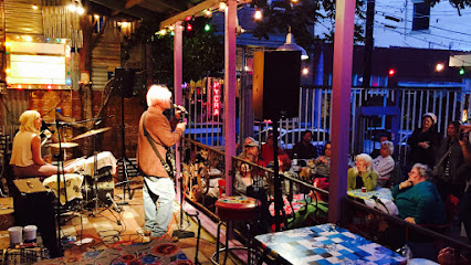
Le Cornucopia Café
81.2 km
Discover Le Cornucopia Café in Bisbee: A cozy restaurant offering delectable deli delights and artisanal coffee amidst charming local vibes.
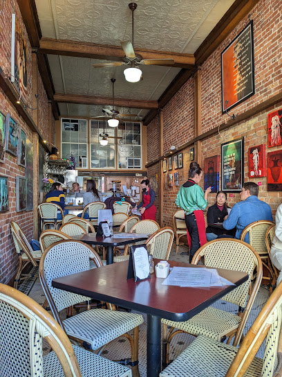
Cafe Roka
81.2 km
Experience the best of modern European cuisine at Cafe Roka in Bisbee – where innovation meets tradition in every bite.
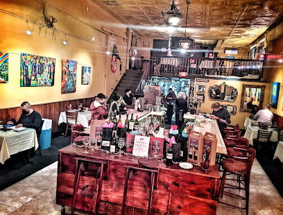
BisbeeGoodCakes
81.2 km
Discover delightful treats at Bisbee Good Cakes - your go-to bakery and coffee shop in the heart of Arizona's historic Bisbee.
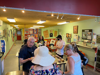
The Feedlot Diner
81.2 km
Experience delicious comfort food at The Feedlot Diner in Bisbee, AZ – where every meal is crafted with care and passion.
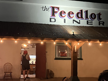
Bisbee Grand Hotel
81.2 km
Experience history and comfort at Bisbee Grand Hotel - your gateway to exploring the vibrant culture of Bisbee, Arizona.
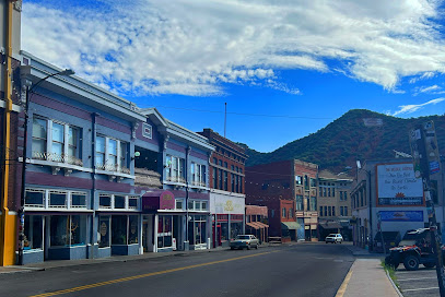
Thuy's Noodle Shop
81.3 km
Discover authentic Vietnamese flavors at Thuy's Noodle Shop in Bisbee - where culinary tradition meets local charm.
Markets, malls and hidden boutiques

Portal Peak Lodge Store & Cafe
24.5 km
Experience the warmth of Southwestern flavors and local treasures at Portal Peak Lodge Store & Cafe in the heart of Arizona's breathtaking landscapes.
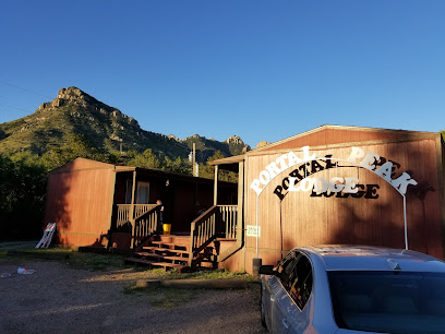
Tom's Bird Feeders & Reptile Supplies
27.6 km
Explore Tom's Bird Feeders & Reptile Supplies for the best in bird feeding and reptile care in San Simon, Arizona.

Mustang Mall
33.0 km
Explore Mustang Mall in Pearce, Arizona for unique finds and essential supplies, all in a charming shopping environment.
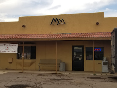
Tara Things
36.7 km
Discover the essence of local craftsmanship at Tara Things, a unique craft store filled with handmade treasures and artistic creations.
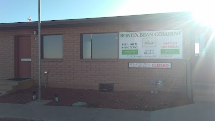
Bonita Bean Co
36.8 km
Explore Bonita Bean Co in Willcox, Arizona, for high-quality beans and local produce at great prices, embodying the region's agricultural heritage.
Elfrida Emporium
38.5 km
Discover unique handcrafted treasures at Elfrida Emporium, the ultimate gift shop celebrating local artistry in the heart of Elfrida.
D K Prickly Pear Emporium
43.6 km
Explore the unique offerings of D K Prickly Pear Emporium, where local artistry meets Southwest charm in Pearce, Arizona.
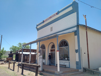
REYNAS CHAPARRAL LLC
49.0 km
Explore the rich offerings of Reynas Chaparral LLC in Cochise, Arizona, where nature's healing powers meet artisanal craftsmanship in herbal goods and candles.
Amarillo by Morning
50.7 km
Explore Amarillo by Morning: a charming boutique in Willcox, AZ offering unique western apparel and fashion accessories for every style.
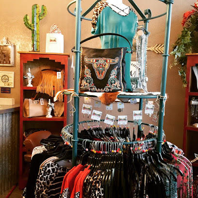
Buffalo Sisters Trading Post
50.8 km
Discover unique antiques, collectibles, and Native American crafts at Buffalo Sisters Trading Post in Willcox, Arizona, an essential stop for every traveler.
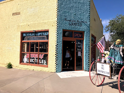
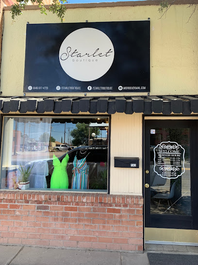
Starlet Boutique
50.8 km
Explore unique women's fashion at Starlet Boutique in Willcox, AZ, where style meets local charm in a delightful shopping experience.
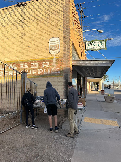
The Friendly Bookstore
50.8 km
Discover a charming literary haven at The Friendly Bookstore in Willcox, AZ, where readers find their next favorite book amidst a warm and inviting atmosphere.
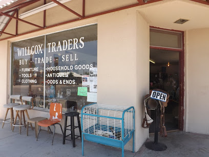
Willcox Traders
50.9 km
Discover hidden treasures and vintage gems at Willcox Traders, Arizona's charming antique store for collectors and enthusiasts alike.
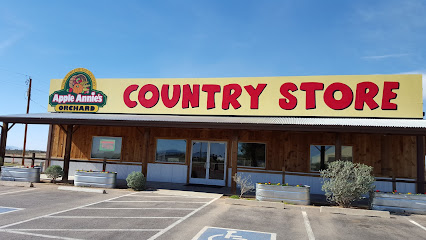
Apple Annie's Country Store
52.7 km
Experience the authentic flavors of Arizona at Apple Annie's Country Store, a charming farm shop and bakery in Willcox, perfect for lunch and unique gifts.
Amerind Museum Store
66.4 km
Explore the Amerind Museum Store for unique Native American gifts and cultural treasures in Dragoon, Arizona.
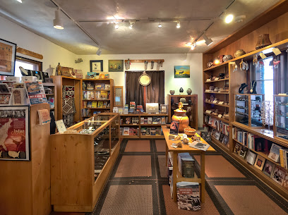
Essential bars & hidden hideouts

Bar Boot Ranch LLC
15.9 km
Experience the essence of the American West at Bar Boot Ranch LLC in Pearce, Arizona, where rustic charm meets breathtaking landscapes.
DreamCatcher Inn at Chiricahua
17.3 km
Experience the serene beauty of the Chiricahua Mountains at DreamCatcher Inn, a cozy bed & breakfast offering a perfect blend of comfort and nature.
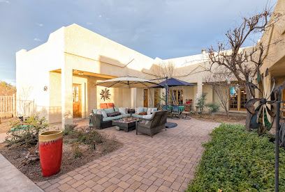
Sonoran Wines / Vineyards
17.5 km
Experience the beauty of Arizona's wine country at Sonoran Wines, where exquisite wines and stunning vineyard landscapes await.
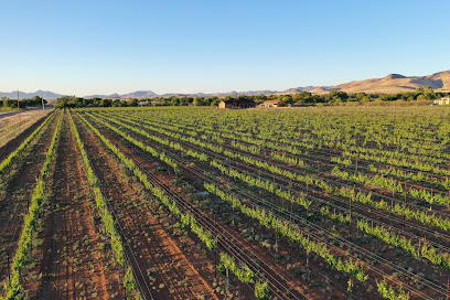
Tirrito Farm
38.4 km
Discover the rich flavors of American cuisine at Tirrito Farm, a unique dining experience featuring farm-fresh ingredients and local craft brews in Willcox, AZ.
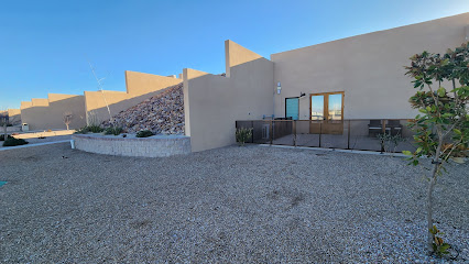
Big Tex BBQ
50.8 km
Discover the authentic taste of southern barbecue at Big Tex BBQ in Willcox, Arizona – a haven for food lovers seeking exceptional smoked meats.
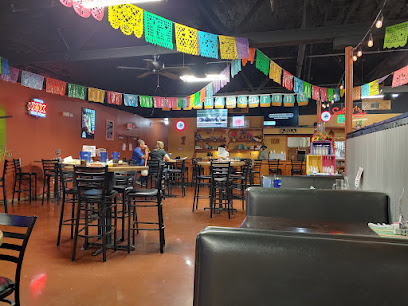
Isabel's South of the Border
50.8 km
Experience the rich flavors of Mexico at Isabel's South of the Border in Willcox, Arizona - a culinary destination for every traveler.
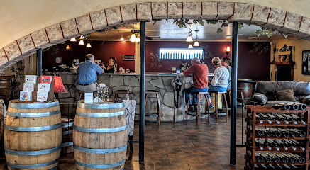
Coronado Vineyards
51.1 km
Experience the beauty of Coronado Vineyards, where exquisite wines meet charming dining and breathtaking Arizona landscapes.
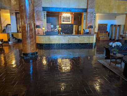
The Gadsden Hotel
75.7 km
Discover the elegance of the past at The Gadsden Hotel, a historic landmark in Douglas, Arizona, offering rich history and modern comforts.
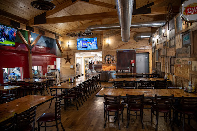
Gene’s Place
81.0 km
Experience the vibrant nightlife of Bisbee at Gene’s Place, a local bar offering craft drinks, live music, and a welcoming atmosphere for all.
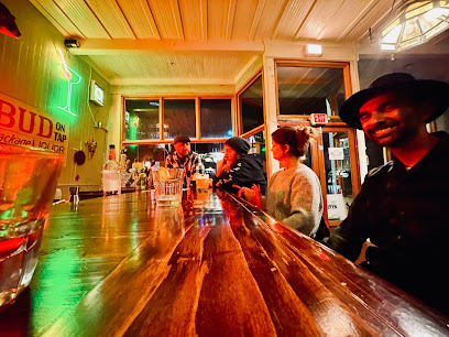
Hitching Post Saloon
81.2 km
Discover the vibrant atmosphere and local charm of the Hitching Post Saloon in Bisbee, Arizona, a must-visit bar with a rich history.
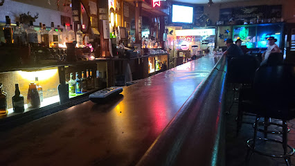
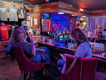
Bisbee Social Club
81.3 km
Discover the hidden charm of Bisbee Social Club, a unique underground bar offering a vibrant atmosphere and exceptional drink selection in Bisbee, AZ.
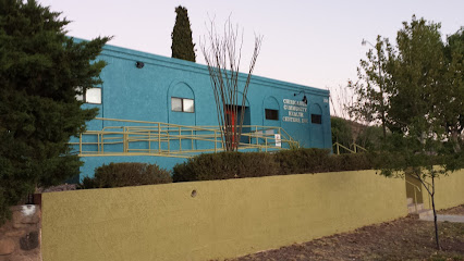
Chiricahua Community Health Center
81.7 km
Explore health and wellness at Chiricahua Community Health Center, a cornerstone of community care in Bisbee, Arizona.
Benson City Grille
86.9 km
Experience authentic American cuisine at Benson City Grille in Benson, Arizona, where every meal is crafted with care and local flavors.
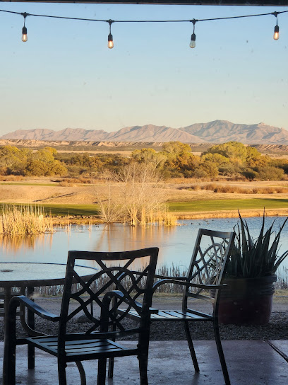
Pages Palace
86.9 km
Discover the historical charm and vibrant atmosphere at Pages Palace in Benson, Arizona, where every visit is a new experience.
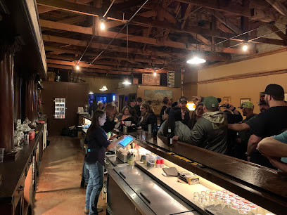
The Horseshoe
87.0 km
Discover the flavors of Benson at The Horseshoe, where delicious local cuisine meets warm hospitality in a charming atmosphere.
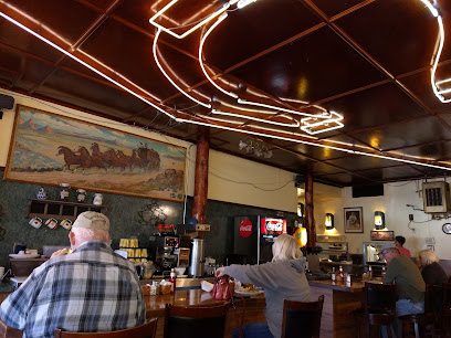
Nightclubs & after hour spots

Love's Travel Stop
71.4 km
Experience convenience and comfort at Love's Travel Stop in Lordsburg, New Mexico, your essential travel companion on the road.
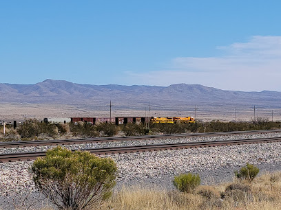
The Kilimanjaharo
81.1 km
Discover the vibrant nightlife of Bisbee at The Kilimanjaharo, where music, dancing, and local flavor come together for an unforgettable experience.
Doc's Watering Hole
98.5 km
Discover the lively nightlife at Doc's Watering Hole, a top destination in Sierra Vista for great food, drinks, and entertainment.