
Chiricahua National Monument, Arizona Travel Guide
Explore the unique rock formations and diverse wildlife of Chiricahua National Monument, a hidden gem in southeast Arizona.
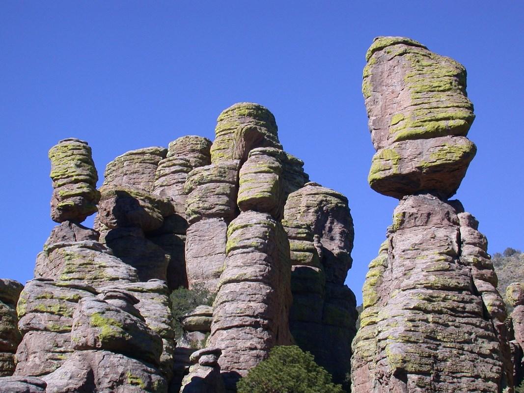
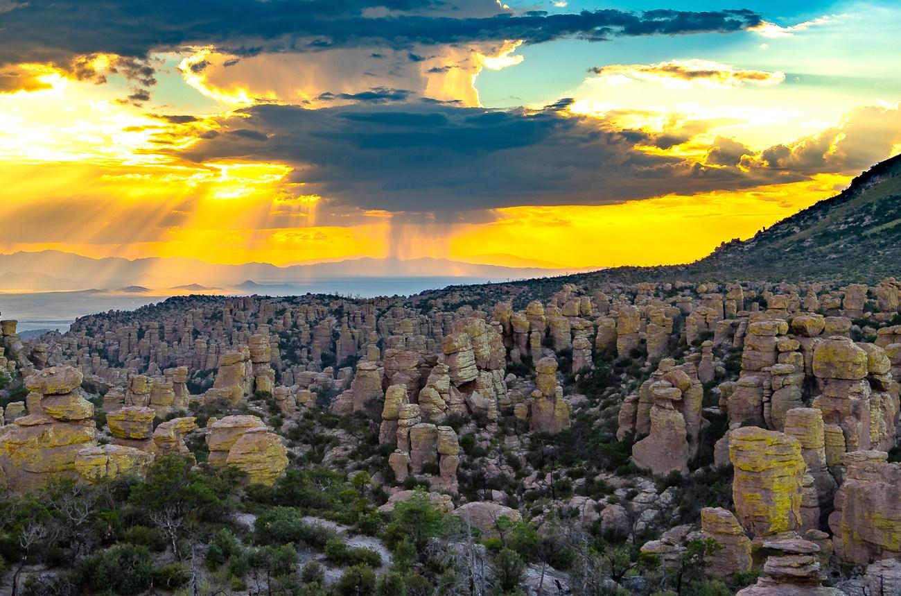
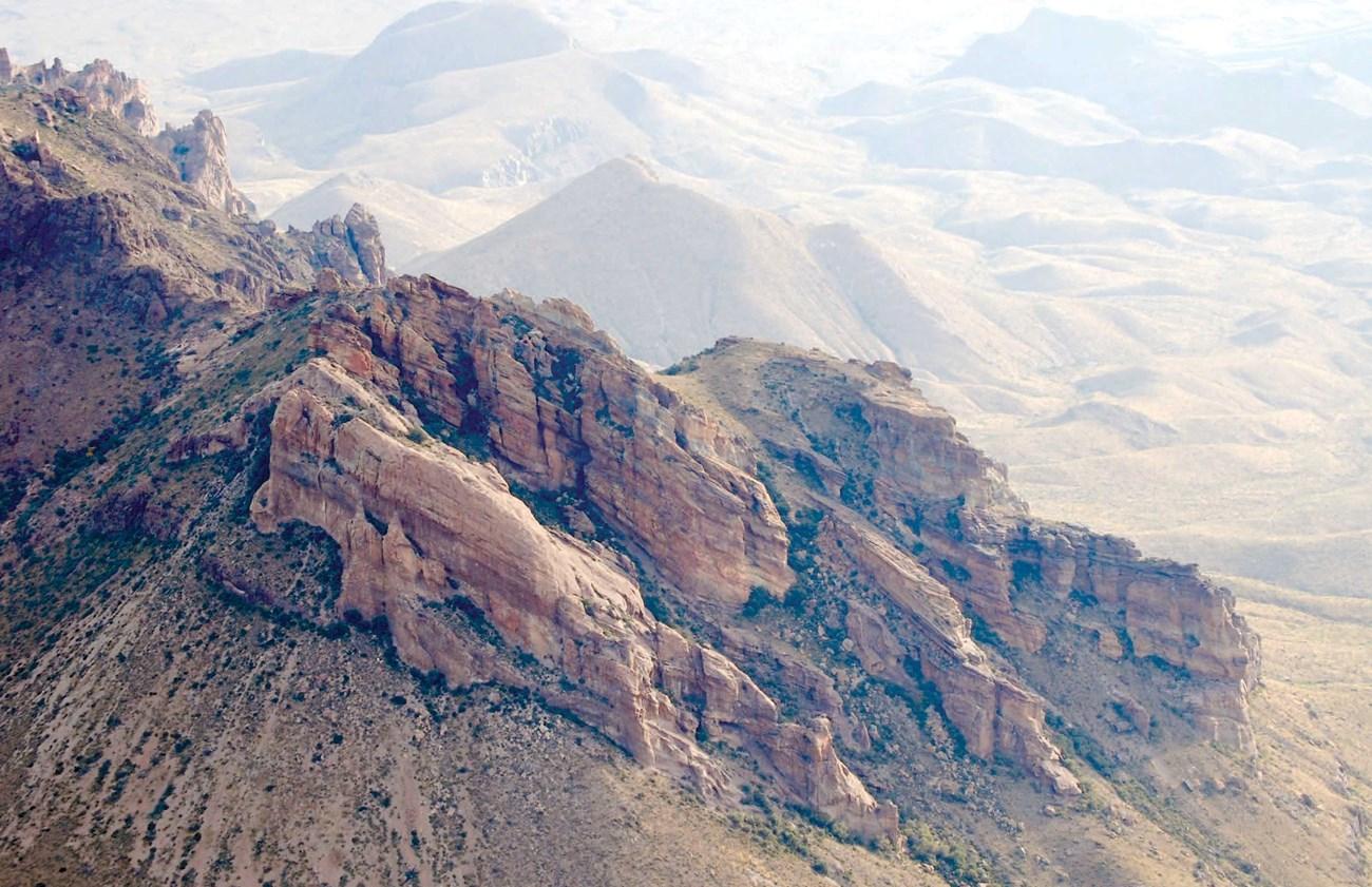
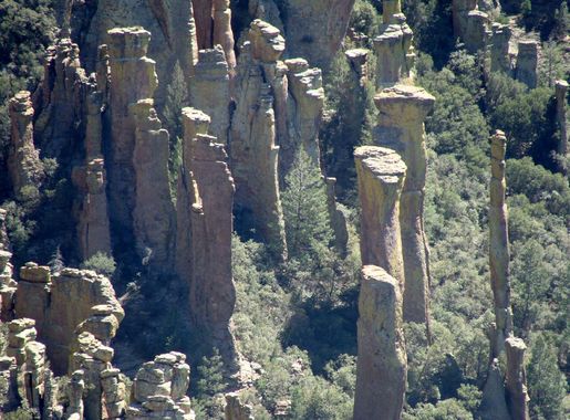
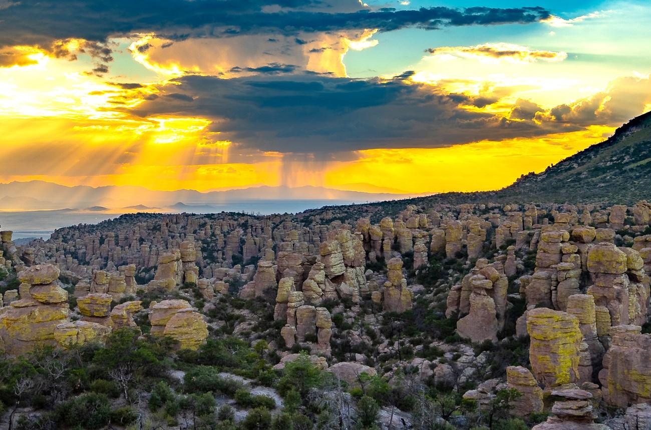
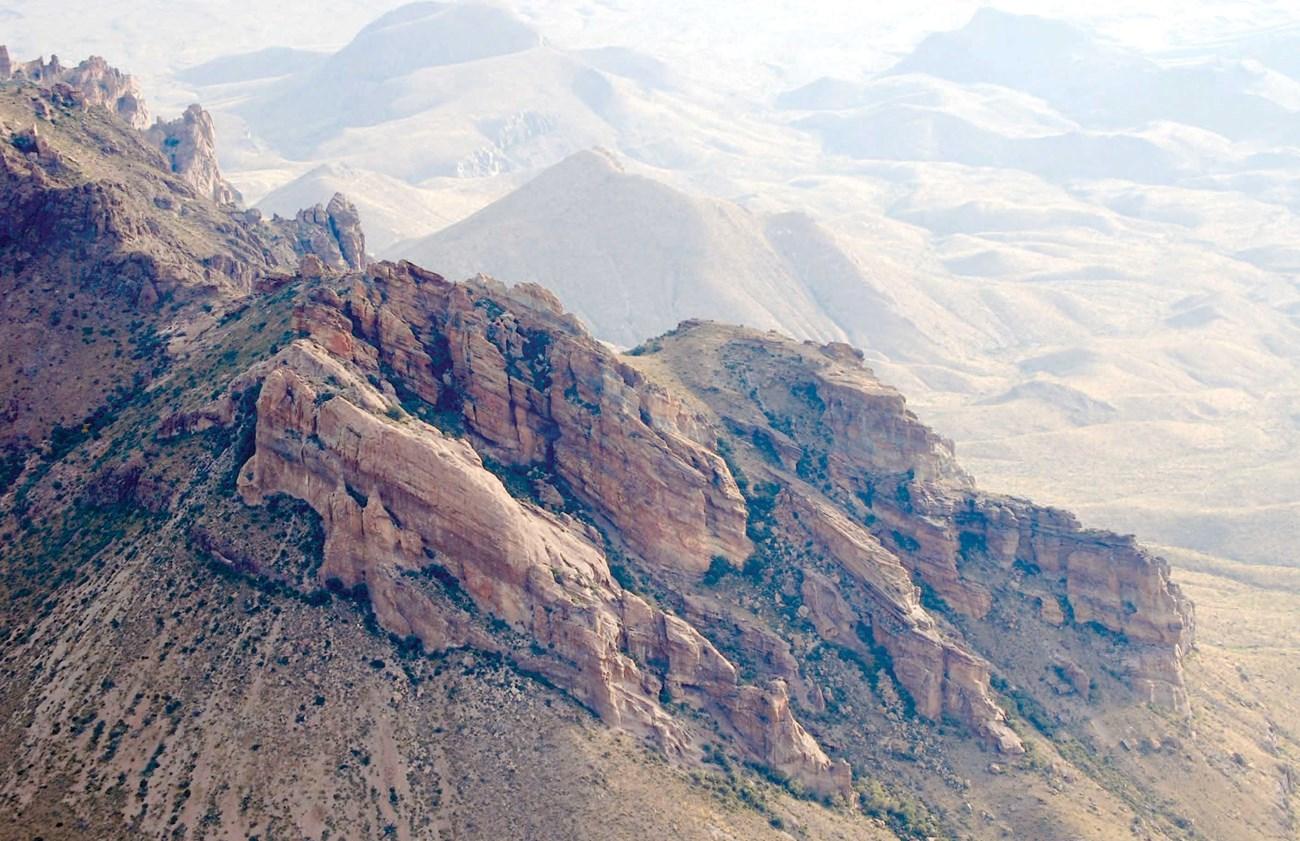
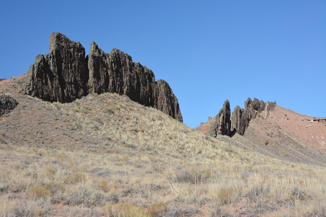
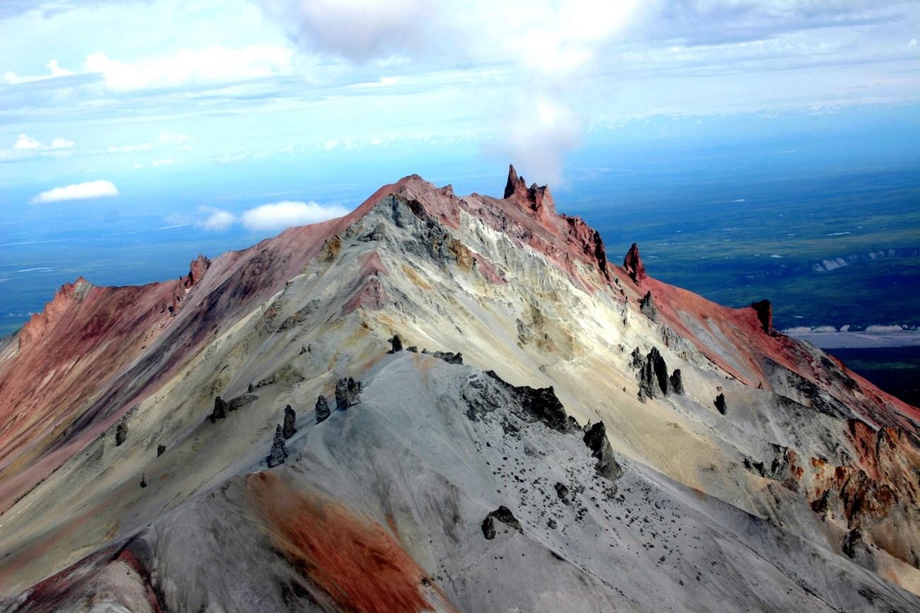
Chiricahua National Monument, located in southeast Arizona, is a hidden gem that offers visitors a unique geological experience. Known for its stunning rock formations, the park is often referred to as a 'Wonderland of Rocks.' These formations were created millions of years ago by volcanic activity, leaving behind towering spires, balanced rocks, and stone columns that defy gravity. The park is also a haven for wildlife and plant species. Hikers can encounter deer, javelinas, and a variety of bird species as they explore the many trails. The park's diverse ecosystem is a result of its location at the intersection of different ecological zones, including deserts and forests. For history enthusiasts, the Faraway Ranch Historic District offers a glimpse into the lives of early settlers in the area. The visitor center provides educational exhibits and a chance to learn more about the unique geological and cultural history of the Chiricahua National Monument.

Know before you go
Hi, I'm Eve. Here are a few practical things to know before exploring Chiricahua National Monument.
- Bring plenty of water and wear sunscreen; the Arizona sun can be intense.
- Visit early in the day to avoid the afternoon heat and to have better chances of spotting wildlife.
- Check out the visitor center first to get maps and learn about the best trails and viewpoints.
- Don't miss the Faraway Ranch Historic District for a touch of local history.
- Camping is available, but make reservations in advance as spots can fill up quickly.
Explore Chiricahua National Monument: Things to Do, Places to Eat, Hotels & More
Handpicked recommendations for top attractions, local dining, accommodations, and more

Best attractions in Chiricahua National Monument
Top-rated picks
Best Attractions

Chiricahua National Monument Visitor Center
Discover the unique geology, biodiversity, and history of Chiricahua National Monument at the visitor center, your gateway to the Wonderland of Rocks.

Bonita Canyon Campground
Explore the beauty of Bonita Canyon Campground in Willcox, AZ, a perfect getaway for nature lovers and adventure seekers with stunning scenery and outdoor activities.

Echo Canyon Trailhead
Explore the scenic trails of Echo Canyon Trailhead in Arizona, a hiker's paradise with stunning views and diverse landscapes perfect for outdoor adventures.

Echo Canyon Trail
Hike through a geological wonderland of towering rock formations and hidden grottoes in Arizona's Chiricahua National Monument.

Best landmarks in Chiricahua National Monument
Top-rated picks
Best Landmarks

Chiricahua National Monument Visitor Center
Discover the unique geology, diverse wildlife, and rich history of Chiricahua National Monument at the visitor center, your gateway to the 'Wonderland of Rocks'.

Chiricahua Mountains
Explore a sky island of rock formations, hiking trails, and diverse wildlife in southeastern Arizona's Chiricahua Mountains. A natural wonderland!

Chiricahua National Monument Sign
Explore a geological wonderland in southeastern Arizona, where towering rock formations and diverse wildlife create a unique 'sky island' experience.

Best bars in Chiricahua National Monument
Top-rated picks
Best Bars

Chiricahua National Monument Visitor Center
Discover the stunning rock formations and rich history at Chiricahua National Monument Visitor Center in Arizona, a paradise for nature lovers.

Chiricahua Mountains
Discover the breathtaking landscapes and unique rock formations of the Chiricahua Mountains, a haven for outdoor adventure in Arizona.

Chiricahua National Monument Sign
Discover the breathtaking rock formations and diverse wildlife of Chiricahua National Monument, a must-visit scenic spot in Arizona for nature enthusiasts.

Best shops in Chiricahua National Monument
Top-rated picks
Best Shops

Chiricahua National Monument
Explore the stunning rock formations and diverse wildlife at Chiricahua National Monument, a must-visit destination for nature lovers in Arizona.

Chiricahua National Monument Visitor Center
Discover the beauty of Chiricahua National Monument at the Visitor Center, your gateway to unforgettable hiking and stunning landscapes.

Heart of Rocks Loop
Discover the Heart of Rocks Loop, a stunning hiking area in Willcox, Arizona, where breathtaking landscapes and unique rock formations await outdoor enthusiasts.

Chiricahua National Monument Sign
Discover the stunning landscapes and unique geological formations of Chiricahua National Monument, a scenic gem in Arizona's wilderness.

Explore Chiricahua National Monument on the Map
A handpicked selection of must-see spots in Chiricahua National Monument, mapped for you.
Chiricahua National Monument Essentials
-
Chiricahua National Monument is located in southeastern Arizona, approximately 120 miles east of Tucson. The closest major airport is Tucson International Airport (TUS). From Tucson, you can rent a car and drive to the monument, which takes around 2.5 to 3 hours. Alternatively, you can take a bus to Willcox, a nearby town, and then arrange for a taxi or rideshare service to the monument.
-
Once inside Chiricahua National Monument, the best way to get around is by car. There are paved roads leading to most of the key attractions and trailheads. For those who prefer not to drive, there are shuttle services available within the park. Additionally, the monument offers several hiking trails of varying difficulty levels, making it easy to explore on foot.
-
The official currency in the United States is the US Dollar (USD). Credit and debit cards are widely accepted, including at the park’s visitor centers and nearby establishments. However, it is advisable to carry some cash for smaller transactions or in case of technical issues with card machines. ATMs are available in nearby towns but not within the park itself.
-
Chiricahua National Monument is generally a safe destination for tourists. However, standard safety precautions should be taken. Avoid hiking alone, especially in remote areas, and always inform someone of your plans. Be cautious of wildlife and keep a safe distance. There are no high-crime areas targeting tourists specifically, but it is always advisable to stay vigilant and secure your belongings.
-
In case of emergency, dial 911 for immediate assistance. The closest medical facilities are in Willcox, approximately 35 miles away. It is recommended to have travel insurance that covers medical emergencies. The park rangers are trained to handle emergency situations, so don’t hesitate to approach them for help. For minor health issues, carry a basic first aid kit and any necessary medications.
-
Fashion: Do wear comfortable and weather-appropriate clothing, including sturdy hiking boots. Avoid flip-flops and open-toed shoes. Religion: The monument does not have any specific religious sites, but always be respectful of others. Public Transport: Public transport options are limited, so do plan your trip accordingly. Greetings: Do greet fellow hikers and park staff with a friendly hello. Eating & Drinking: Do bring plenty of water and snacks, especially for long hikes. Don’t leave trash behind; always use designated trash bins or pack out what you pack in.
-
To experience Chiricahua National Monument like a local, visit early in the morning to avoid the crowds and heat. Take the Echo Canyon Loop Trail for stunning views and unique rock formations. Don’t miss the Faraway Ranch Historic District to learn about the human history of the area. Engage with park rangers; they often share fascinating stories and insights about the monument. Lastly, bring a pair of binoculars for bird watching, as the park is home to a variety of bird species.
When is the best time to visit Chiricahua National Monument?
Useful Local Phrases for Chiricahua National Monument
You don't need to speak the language perfectly. Even learning a few simple words can make conversations warmer—and locals usually appreciate the effort.
— Eve

Here are the phrases I use most often in Chiricahua National Monument. Try a few—you'll be surprised how far they go! 😊
❤️
-
- HelloNdąą'
[ndaa] - GoodbyeHa'go ne'ez
[hago neez] - YesHa'a
[haa] - NoNda'a
[ndaa] - Please/You're welcomeAhe'hee
[a-hee-hee] - Thank youAhe'hee
[a-hee-hee] - Excuse me/SorryMa'aha
[ma-aha] - How are you?Ahee'hee' gosho?
[a-hee-hee go-sho] - Fine. And you?Nda'a. Ahee'hee?
[ndaa. a-hee-hee] - Do you speak English?Shi' ma'ii'ndąą' baa?
[shi ma-ee-ndaa baa] - I don't understandNda'a na'adąą'
[ndaa naa-ndaa]
- HelloNdąą'
-
- I'd like to see the menu, pleaseYaa'go nąą' dęę na'niłchił, ahee'hee
[yaa-go naa de-na-niil-chil a-hee-hee] - I don't eat meatNda'a nąą' niiłch'iin
[ndaa naa niil-chiin] - Cheers!Ahee'hee!
[a-hee-hee] - I would like to pay, pleaseYaa'go nąą' baa haał'ał, ahee'hee
[yaa-go naa baa haal-al a-hee-hee]
- I'd like to see the menu, pleaseYaa'go nąą' dęę na'niłchił, ahee'hee
-
- Help!Ha'go ne'ez!
[hago neez] - Go away!Ha'a nąą' hazhįį
[haa naa hazhii] - Call the Police!Nąą' shi' bi' hazhįį
[naa shi bi hazhii] - Call a doctor!Nąą' shi' baa ha'go na'az
[naa shi baa hago na-az] - I'm lostNda'a nąą' dąą' hazhįį
[ndaa naa daa hazhii] - I'm illNda'a nąą' baa na'az
[ndaa naa baa na-az]
- Help!Ha'go ne'ez!
-
- I'd like to buy...Yaa'go nąą' shi' na'niłchił...
[yaa-go naa shi na-niil-chil] - I'm just lookingNda'a shi' na'adąą'
[ndaa shi naa-ndaa] - How much is it?Nąą' nąą' ałchin?
[naa naa al-chin] - That's too expensiveNda'a nąą' ch'iłch'ah
[ndaa naa chiil-chah] - Can you lower the price?Nąą' niiłjool?
[naa niil-jool]
- I'd like to buy...Yaa'go nąą' shi' na'niłchił...
-
- What time is it?Nąą' t'ááshii?
[naa taashii] - It's one o'clockNąą' t'ááshii hadąą' ba'
[naa taashii hadaa-baa] - Half past (10)Nąą' yisht'á
[naa yishta] - MorningDąą'
[daa] - AfternoonDa'íí'
[da-ii] - EveningHa'asht'éé'
[haashte] - YesterdayYisdąą'
[yis-daa] - TodayYaa
[yaa] - TomorrowAshdla'
[ash-dla] - 1Hastiin
[hastiin] - 2Naaki
[naaki] - 3Táá
[taa] - 4Dįį'
[di] - 5Ashdla'
[ashdla] - 6Hastąą
[hastaa] - 7Tseebíí
[tsee-bii] - 8Tááhá
[taaha] - 9Náhást'éí
[na-hastei] - 10Ndeesdząą
[ndees-da]
- What time is it?Nąą' t'ááshii?
-
- Where's a/the...?Haa nąą'...
[haa naa] - What's the address?Baa nąą' éí dił?
[baa naa ei dil] - Can you show me (on the map)?Nąą' niiłjool?
[naa niil-jool] - When's the next (bus)?Nąą' niiłjool?
[naa niil-jool] - A ticket (to ....)Nąą' niiłjool?
[naa niil-jool]
- Where's a/the...?Haa nąą'...
History of Chiricahua National Monument
-
Long before European settlers arrived, the Chiricahua Apache, a group of Native American tribes, called this region home. The Chiricahua Apache utilized the rugged terrain for both shelter and strategic advantage. Their knowledge of the area allowed them to navigate the complex landscape, which includes rock spires and narrow canyons, with ease.
-
In the late 1500s, Spanish explorers ventured into the region now known as Chiricahua National Monument. They sought to expand their territories and search for riches. Spanish missionaries also followed, attempting to convert the local Apache tribes to Christianity. These early encounters were often marked by conflict and resistance from the indigenous people.
-
Throughout the 19th century, the United States government engaged in numerous conflicts with the Chiricahua Apache, known collectively as the Apache Wars. Figures such as Cochise and Geronimo became legendary for their resistance against U.S. military forces. The Chiricahua's deep understanding of the terrain made them formidable opponents, leading to a prolonged series of skirmishes and battles.
-
Chiricahua National Monument was established on April 18, 1924, by President Calvin Coolidge. The monument was created to protect the unique rock formations known as 'hoodoos,' as well as the rich biodiversity of the area. The initial development included the construction of roads and trails to make the monument accessible to the public.
-
During the Great Depression, the Civilian Conservation Corps (CCC) played a significant role in the development of Chiricahua National Monument. From 1934 to 1940, the CCC constructed many of the trails, buildings, and infrastructure that visitors still use today. Their work helped to preserve the natural beauty and historical significance of the monument.
-
During World War II, Fort Bowie, located near Chiricahua National Monument, served as a training ground for U.S. Army troops. The fort had historical significance dating back to the Apache Wars and was strategically important during the war. The proximity of Fort Bowie to Chiricahua added another layer of historical significance to the region.
-
Over the years, Chiricahua National Monument has faced natural challenges, including wildfires and floods. These events have prompted various conservation efforts to protect both the natural landscape and the historical sites within the monument. Collaborative efforts between governmental agencies and local communities have been essential in preserving this unique area.
Neighbouring destination travel guides
Browse our curated selection of top destinations, scenic points, and must-visit spots in the area.


Your all‑in‑one travel companion app
Explore expert travel guides, compare and book tours, experiences, hotels, and more—all from the palm of your hand. Download now for seamless trip planning wherever your wanderlust takes you.


Explore More of Chiricahua Mountains
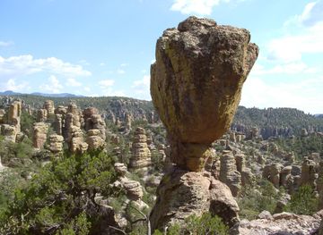
Looking beyond Chiricahua National Monument? Discover Chiricahua Mountains for broader travel guides, local hot-spots, and regional highlights.
Explore Chiricahua MountainsExplore More of Arizona

Looking beyond Chiricahua National Monument? Discover Arizona for broader travel guides, local hot-spots, and regional highlights.
Explore ArizonaChiricahua National Monument in Photos
Browse through our photo collection highlighting the charm and character of the destination.
Chiricahua National Monument: A Wonderland of Rocks
Chiricahua National Monument, located in southeast Arizona, is a hidden gem that offers visitors a unique geological experience. Known for its stunning rock formations, the park is often referred to as a 'Wonderland of Rocks.' These formations were created millions of years ago by volcanic activity, leaving behind towering spires, balanced rocks, and stone columns that defy gravity. The park is also a haven for wildlife and plant species. Hikers can encounter deer, javelinas, and a variety of bird species as they explore the many trails. The park's diverse ecosystem is a result of its location at the intersection of different ecological zones, including deserts and forests. For history enthusiasts, the Faraway Ranch Historic District offers a glimpse into the lives of early settlers in the area. The visitor center provides educational exhibits and a chance to learn more about the unique geological and cultural history of the Chiricahua National Monument.