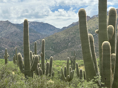
Finger Rock Trailhead: A Desert Hiking Gem
Hike to iconic Finger Rock through diverse Sonoran Desert landscape, a challenging climb with rewarding Tucson views.
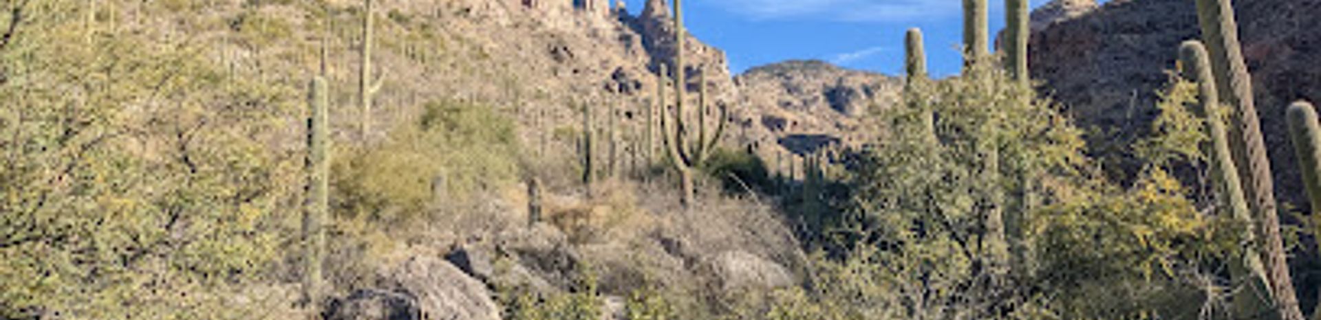
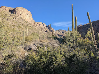
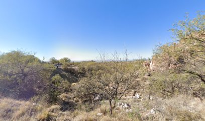
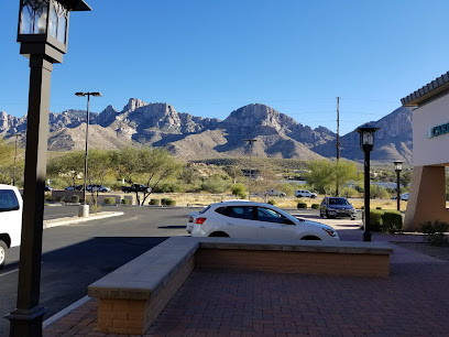
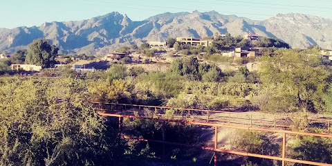
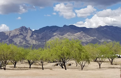
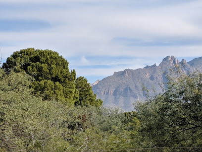
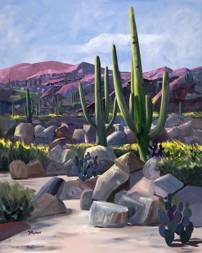
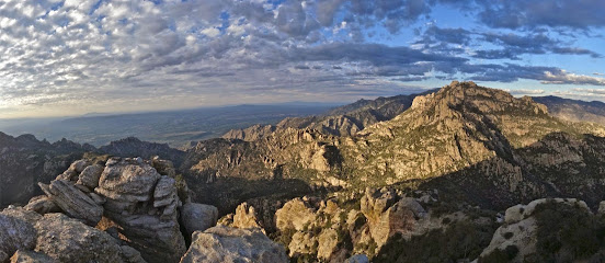
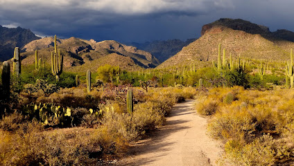
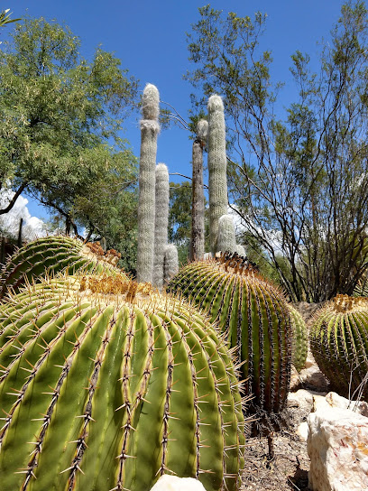
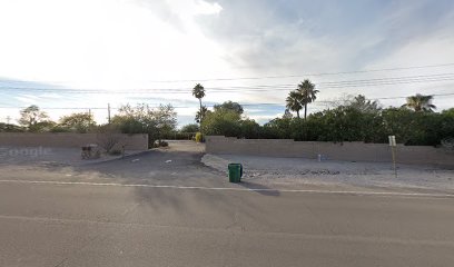
The Finger Rock Trailhead, located in Tucson, Arizona, provides access to a challenging yet rewarding hike into the Santa Catalina Mountains. The iconic Finger Rock formation, a 100-foot rock spire, is a prominent landmark. The trail offers stunning views and diverse Sonoran Desert flora.
A brief summary to Finger Rock Trailhead
- 7119 N Alvernon Way, Tucson, Arizona, 85718, US
- +1520-724-5000
- Visit website
Local tips
- Arrive early, especially on weekends and holidays, as the parking lot fills up quickly.
- Bring plenty of water, especially during warmer months, to avoid dehydration.
- Wear sunscreen, a hat, and sunglasses to protect yourself from the desert sun.
- Be aware of rattlesnakes and other desert wildlife, especially during warmer months.
Getting There
-
Driving
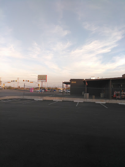
From downtown Tucson, drive north on N Alvernon Way for approximately 10 miles. The Richard McKee Finger Rock Trailhead will be on your left, just past E Ina Road. The parking lot is located at the northern end of Alvernon Way. Parking is free, but the lot is small and fills up quickly, especially on weekends and holidays. Consider carpooling or arriving early. Overnight parking requires a permit from Pima County.
-
Ride Share
Request a ride to the Richard McKee Finger Rock Trailhead, located at 7119 N Alvernon Way, Tucson, AZ 85718. From downtown Tucson, a ride-share will cost approximately $20-30, depending on the time of day and demand.
-
Public Transport
While there is no direct public transportation to the trailhead, you can take a bus to a nearby stop and then walk or take a ride-share to the trailhead. Take the bus route 102 to the intersection of Alvernon Way and Skyline Drive. From there, it is approximately a 1.5-mile walk north on Alvernon Way to the trailhead. A single bus fare is $1.75.
Discover more about Finger Rock Trailhead
Iconic landmarks you can’t miss
Finger Rock Trailhead
0.0 km
Hike to iconic Finger Rock through diverse Sonoran Desert landscape, a challenging climb with rewarding Tucson views.
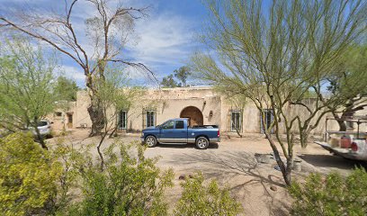
Historic Pontatoc mine
1.2 km
Discover Tucson's mining history at the Historic Pontatoc Mine, a serene landmark nestled in the Coronado Foothills offering scenic beauty and tranquility.
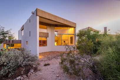
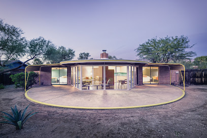
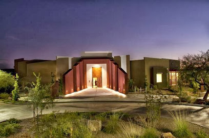
The Jacobson House
4.0 km
Experience desert modernism at The Jacobson House, an architectural gem in Tucson's Catalina Foothills. A unique blend of history, luxury, and design.
Labyrinth
7.0 km
Discover Tucson's Labyrinth, a serene historical landmark that intertwines nature, history, and tranquility in the heart of Arizona.
Children's Memorial Park
8.3 km
A serene Tucson park offering memorial gardens, play areas, and recreational facilities for quiet reflection and family enjoyment.
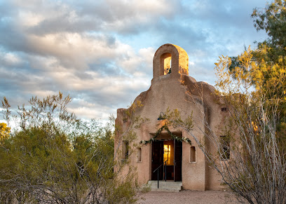
San Pedro Chapel
8.9 km
Discover the enchanting San Pedro Chapel in Tucson, Arizona, where history, beauty, and serene landscapes converge for a memorable experience.
Las Saetas
9.0 km
Explore Las Saetas, a Pueblo Revival gem in Tucson's historic Fort Lowell, reflecting the area's vibrant past and artistic heritage.
Romero Ruins Trail Point and Hitching Post
9.5 km
Discover ancient ruins and scenic beauty on this easy, historical trail in Catalina State Park, Arizona.
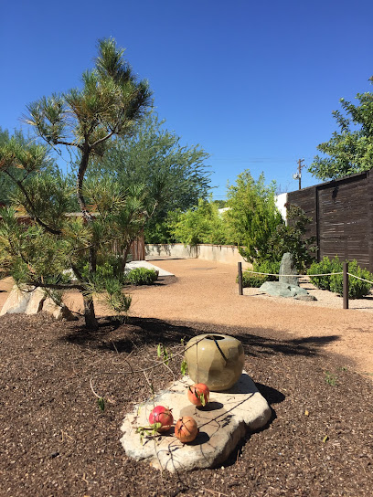
Yume Japanese Gardens of Tucson
10.0 km
Discover tranquility in the heart of Tucson at Yume Japanese Gardens, a unique cultural oasis. Reopening early 2026!
Ball-Paylore House
10.6 km
Experience desert modernism at the Ball-Paylore House, a Tucson architectural gem with innovative passive solar design and unique 1950s charm.
Paul Bunyan Statue
10.6 km
A towering Tucson landmark since 1964, the Paul Bunyan Statue is a beloved cultural icon featured in films and cherished by locals.
Christina Taylor Green Park
11.0 km
A serene Tucson park honoring Christina Taylor Green with botanical trails, a butterfly garden, and a memorial statue.
Orange Slice
11.3 km
A whimsical and vibrant public art installation in Tucson, celebrating local history and creativity with a giant orange slice.
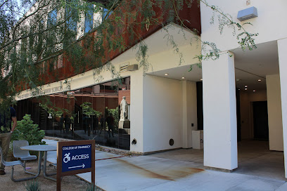
Coit Museum of Pharmacy & Health Sciences
11.4 km
Discover the fascinating history of pharmacy and health sciences at the Coit Museum in Tucson, Arizona, where learning and history converge.
The SlaughterHouse
12.2 km
Experience Tucson's ultimate haunted attraction: a terrifying journey through themed mazes and live horror at The SlaughterHouse.

Unmissable attractions to see
Children's Museum Oro Valley at Tohono Chul
6.5 km
Discover interactive exhibits, beautiful gardens, and endless fun for children at the Children's Museum Oro Valley, nestled in Tohono Chul Park.
Tohono Chul | Gardens, Galleries, and Bistro
6.8 km
Experience the beauty of nature and art at Tohono Chul, a stunning botanical garden and cultural oasis in Tucson, Arizona.
Rio Vista Natural Resource Park
6.8 km
Experience the natural beauty of Rio Vista Natural Resource Park in Tucson, AZ, a perfect blend of outdoor activities and serene landscapes.
Rillito River Park
7.0 km
Explore the natural beauty of Rillito River Park, a peaceful escape for walking, biking, and enjoying Tucson's scenic landscapes.
Valley of the Moon
7.3 km
Experience the whimsical charm of Valley of the Moon in Tucson, Arizona, where art, nature, and community come together for an unforgettable adventure.
Brandi Fenton Memorial Park
7.3 km
Explore Brandi Fenton Memorial Park, a beautiful oasis in Tucson with lush landscapes, family-friendly amenities, and a peaceful atmosphere for relaxation.
Funtasticks Family Fun Park
7.8 km
Dive into endless fun at Funtasticks Family Fun Park, Tucson's ultimate family entertainment destination offering go-karts, laser tag, miniature golf, and more!
Limberlost Family Park
8.0 km
Discover the tranquility of Limberlost Family Park in Tucson, a serene escape with playgrounds, walking trails, and lush greenery perfect for family outings.
The Mini Time Machine Museum of Miniatures
8.1 km
Explore a captivating world of miniatures at The Mini Time Machine Museum in Tucson, Arizona, showcasing intricate displays and inspiring creativity for all ages.
Madaras Gallery
8.4 km
Explore Madaras Gallery in Tucson, a vibrant art hub showcasing local artists and unique gifts that capture the essence of Southwestern culture.
Steam Pump Ranch
8.5 km
Experience the rich history and vibrant local culture at Steam Pump Ranch in Oro Valley, Arizona, with stunning landscapes and a bustling farmers' market.
Fort Lowell Museum
9.2 km
Uncover the rich military history of Tucson at Fort Lowell Museum, where the stories of the past come alive through engaging exhibits and artifacts.
Pusch Ridge Wilderness
9.3 km
Explore the stunning Pusch Ridge Wilderness in Tucson, AZ, a national forest offering breathtaking landscapes and endless outdoor adventures.
Sabino Canyon Recreation Area
9.5 km
Explore the breathtaking landscapes and diverse wildlife at Sabino Canyon Recreation Area, a paradise for nature lovers and outdoor enthusiasts in Tucson, Arizona.
Tucson Botanical Gardens
9.9 km
Discover the enchanting Tucson Botanical Gardens, a vibrant escape filled with diverse flora and captivating art installations in the heart of Arizona.
Essential places to dine
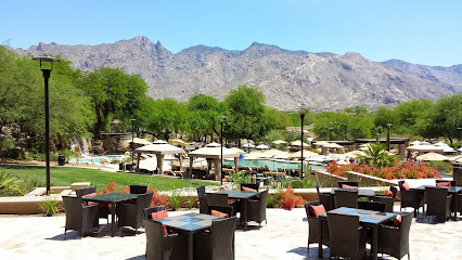
Vivace Restaurant
2.2 km
Experience authentic Italian cuisine amidst breathtaking views at Vivace Restaurant in Tucson's Catalina Foothills.
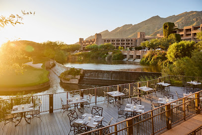
Azul Restaurant and Lounge
2.6 km
Experience exquisite Mediterranean cuisine at Azul Restaurant and Lounge nestled in The Westin Resort & Spa in Tucson.
Wild Garlic Grill
2.6 km
Discover exquisite French-Mid Atlantic cuisine at Wild Garlic Grill in Tucson's scenic Catalina Foothills.
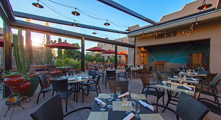
Contigo Latin Kitchen
2.7 km
Discover the vibrant tastes of Latin America at Contigo Latin Kitchen, where every dish celebrates culture and flavor in Tucson's heart.
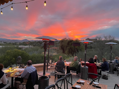
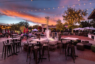
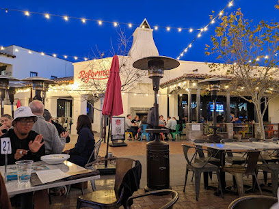
Terraza Garden Patio & Lounge
3.3 km
Experience exquisite dining at Terraza Garden Patio & Lounge in Tucson - where fine cuisine meets vibrant ambiance and live music.
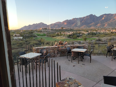
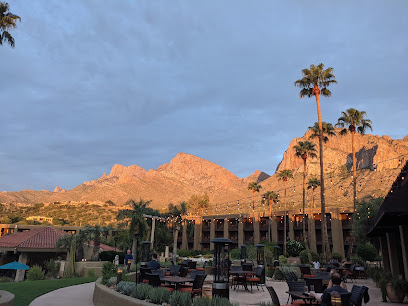
The Grill at Hacienda Del Sol
3.3 km
Experience fine dining like never before at The Grill at Hacienda Del Sol—where exquisite cuisine meets stunning desert views.
Flying V Bar & Grill
5.8 km
Experience exceptional American cuisine in Tucson's stunning Ventana Canyon at Flying V Bar & Grill.
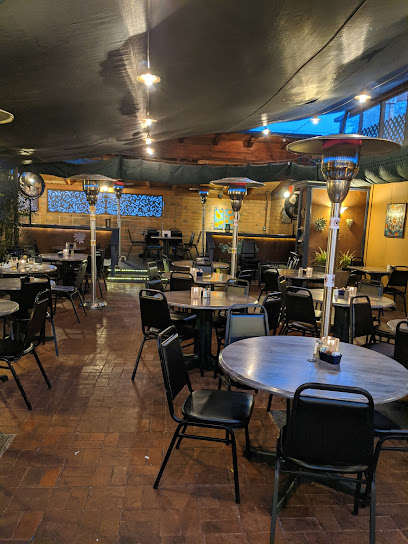
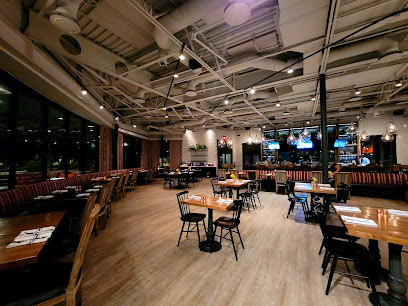
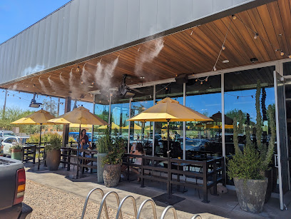
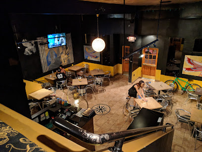
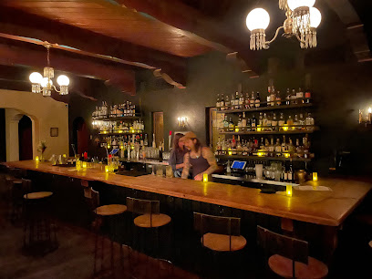
The Parish
6.4 km
Discover vibrant Cajun cuisine and innovative cocktails at The Parish - Tucson's premier American gastropub offering unforgettable dining experiences.
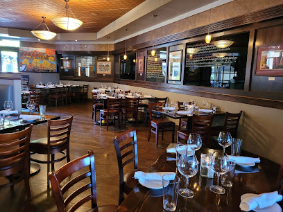
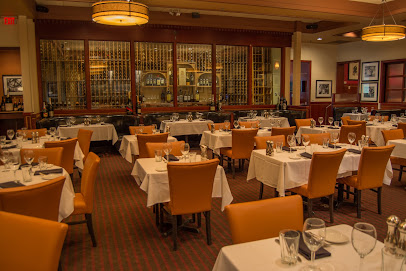
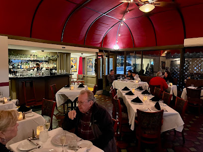
Sullivan's Steakhouse
6.4 km
Experience culinary excellence at Sullivan's Steakhouse in Tucson - where fine dining meets exceptional service.
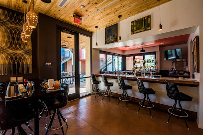
Union Public House
6.5 km
Discover the flavors of America at Union Public House in Tucson—where comfort food meets vibrant ambiance.
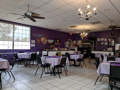
Chef Alisah's Restaurant
6.8 km
Experience authentic European cuisine in the heart of Tucson at Chef Alisah's Restaurant - where every dish tells a story.
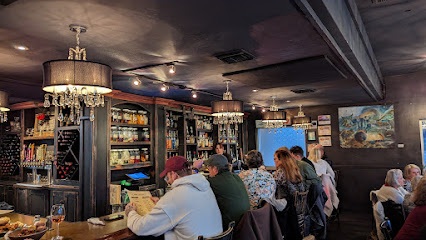
Epazote Kitchen & Cocktails
7.0 km
Experience the vibrant flavors of Southwestern American cuisine at Epazote Kitchen & Cocktails in Tucson – where every dish tells a story.
Le Rendez-vous
8.0 km
Indulge in exquisite French cuisine at Le Rendez-vous – Tucson's charming restaurant and wine bar offering authentic flavors in an elegant setting.
Blue Willow Restaurant & Gift Shop
9.7 km
Discover Blue Willow Restaurant & Gift Shop: where delicious Southwestern cuisine meets unique local gifts in Tucson's cozy setting.
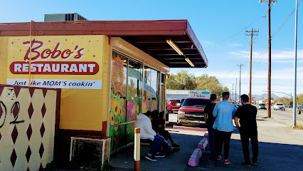
Bobo's Restaurant
9.8 km
Experience the best breakfast at Bobo's Restaurant in Tucson - where delicious American classics meet warm hospitality.
Markets, malls and hidden boutiques
Creative Kind
2.4 km
Discover unique artisanal gifts at Creative Kind, a charming boutique in Tucson offering a delightful shopping experience for every visitor.

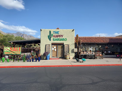
The Happy Saguaro
6.1 km
Explore The Happy Saguaro in Tucson for unique home goods and gifts that reflect Arizona's vibrant culture and creativity.
Oracle Plaza
6.3 km
Explore Oracle Plaza, Tucson's premier shopping mall offering diverse retail, delicious dining, and vibrant community events for every visitor.

St. Philip's Plaza
6.5 km
Explore St. Philip's Plaza, Tucson's vibrant shopping mall with unique boutiques, local dining, and cultural events in a beautiful outdoor setting.
Great Successes
6.9 km
Explore Great Successes Gift Shop in Tucson, Arizona, for unique gifts and local crafts that celebrate the spirit of the Southwest.
the West
7.8 km
Explore The West in Tucson for unique gifts and local crafts that beautifully capture the essence of Arizona's vibrant culture.
Earthbound
8.1 km
Explore Earthbound in Tucson for unique gifts, clothing, and jewelry that capture the essence of local artistry and creativity.

Arizona Gifts
8.1 km
Explore the heart of Tucson at Arizona Gifts, where unique souvenirs and local artistry meet to create unforgettable memories.
FUEGO / ATTIC SALT
8.1 km
Explore Fuego / Attic Salt in Tucson for unique gifts, stylish clothing, and local artisan treasures that capture the essence of Arizona's vibrant culture.

Adobe House Antiques
8.6 km
Uncover a world of vintage charm and unique collectibles at Adobe House Antiques, Tucson's hidden gem for antique lovers.
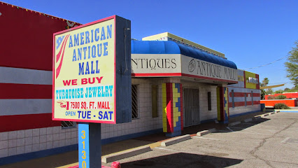
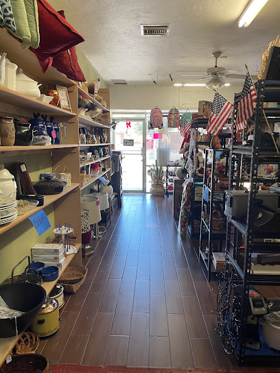
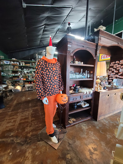
American Antique Mall
9.8 km
Explore a treasure trove of vintage finds at the American Antique Mall in Tucson, where history and charm come together in a unique shopping experience.
Teal Saguaro
10.2 km
Experience compassionate care at Teal Saguaro, Tucson's community-focused medical clinic, where healing meets hospitality.

Just Cause Thrift Shop
11.0 km
Discover unique treasures at Just Cause Thrift Shop in Tucson, a community-driven thrift store offering vintage finds and sustainable shopping.
Woolly Fern
11.2 km
Discover a unique blend of antiques and metaphysical supplies at Woolly Fern in Tucson, a treasure trove for seekers of the extraordinary.
Grant-Stone Shopping Center
11.3 km
Explore the Grant-Stone Shopping Center in Tucson, AZ, a vibrant retail hub filled with diverse shopping and dining options for every tourist.
Essential bars & hidden hideouts
North Italia
2.2 km
Experience authentic Italian cuisine at North Italia, a Tucson favorite known for its fresh ingredients and welcoming ambiance, perfect for families and food lovers.
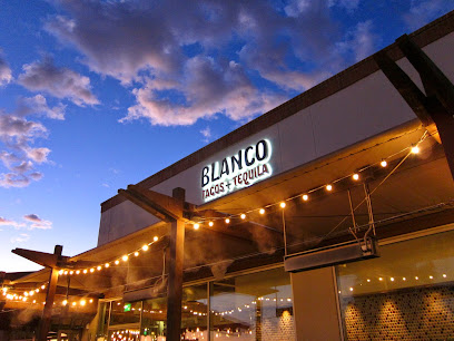
Blanco Cocina + Cantina
2.3 km
Experience the vibrant flavors of Mexico at Blanco Cocina + Cantina, Tucson's ultimate destination for Mexican cuisine and craft cocktails.
Tap & Bottle - North
6.3 km
Experience the best craft beers and wines at Tap & Bottle - North, Tucson's go-to bar and beer store for enthusiasts and casual drinkers.
Commoner & Co
7.0 km
Experience the finest American cuisine and vibrant atmosphere at Commoner & Co, Tucson's ultimate dining destination for locals and tourists alike.
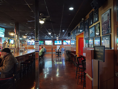
The Depot Bar
8.0 km
Discover the lively spirit of The Depot Bar in Tucson, where great drinks, delicious food, and sports come together for an unforgettable night.
Short Rest Tavern
8.2 km
Discover Short Rest Tavern in Tucson: Where great cocktails meet board game fun in a welcoming atmosphere for all.
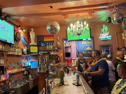
Danny's Baboquivari Lounge
8.3 km
Discover the lively ambiance and expertly crafted cocktails at Danny's Baboquivari Lounge in Tucson, the perfect spot for relaxation and socializing.
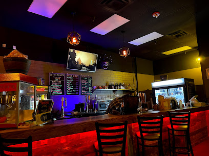
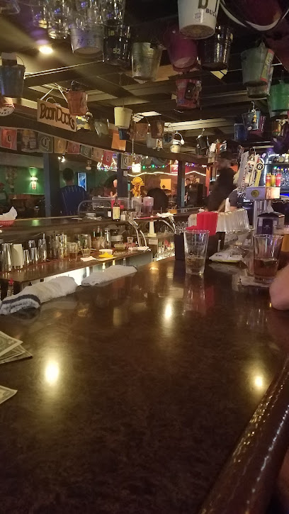
Nancy's Boondocks
9.2 km
Discover the vibrant atmosphere and delicious cocktails at Nancy's Boondocks, a must-visit bar and grill in Tucson, Arizona.
The Edge - A Tucson Bar
9.6 km
Experience the vibrant nightlife at The Edge in Tucson, featuring live music, karaoke, and an inviting atmosphere perfect for socializing.
The Shelter Bar
9.6 km
Experience the vibrant nightlife of Tucson at The Shelter Bar, a favorite cocktail lounge known for its lively atmosphere and expertly crafted drinks.
Mint Bar
9.7 km
Discover Mint Bar in Tucson: your go-to dive bar for affordable drinks, live music, and a vibrant atmosphere.
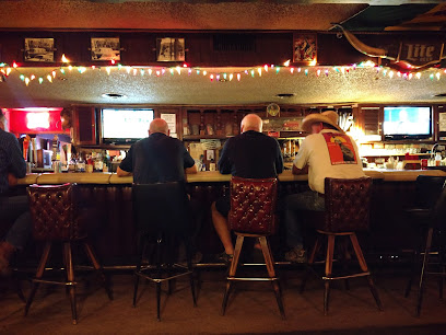
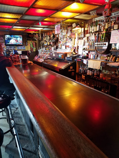
Bay Horse Tavern
9.9 km
Discover the vibrant nightlife of Tucson at Bay Horse Tavern, where craft cocktails and a cozy atmosphere await you.
Postino Grant
10.0 km
Discover Postino Grant in Tucson - a delightful restaurant and wine bar offering brunch, catering, and a cozy atmosphere perfect for any occasion.
Tommy’s Saloon
10.7 km
Experience the lively atmosphere and friendly service at Tommy's Saloon, Tucson's go-to bar for locals and tourists alike.
Brodies Dark Horse Tavern
11.1 km
Experience Tucson's local flavor at Brodies Dark Horse Tavern, where delicious grill dishes and a vibrant atmosphere await every visitor.
Nightclubs & after hour spots
Whiskey Roads
9.9 km
Discover the vibrant flavors of Tucson at Whiskey Roads, where delicious grills meet a lively bar atmosphere, perfect for any occasion.

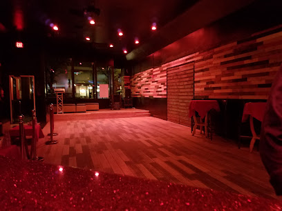
TD's Showclubs
11.0 km
Unleash the nightlife fun at TD's Showclubs, Tucson's premier adult entertainment venue, featuring captivating performances and a vibrant atmosphere.

Curves Cabaret
11.8 km
Discover the excitement of Curves Cabaret, Tucson's favorite adult entertainment club, where vibrant performances and a lively atmosphere await you.
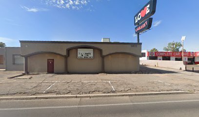
Love Cabaret
11.9 km
Discover an electrifying nightlife experience at Love Cabaret, Tucson's premier destination for dance, music, and unforgettable entertainment.
TD's Showclubs East
11.9 km
Experience the vibrant nightlife of Tucson at TD's Showclubs East, the premier adult entertainment venue for unforgettable performances and exhilarating atmosphere.

IBT's Bar + Food
13.1 km
Discover Tucson's vibrant nightlife at IBT's Bar + Food, where American cuisine meets karaoke fun in a welcoming gay bar atmosphere.

Royal Hookah Lounge
13.4 km
Experience the vibrant nightlife at Royal Hookah Lounge in Tucson, where flavorful hookahs and lively entertainment create unforgettable evenings.
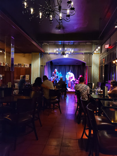
The Century Room
13.9 km
Experience the soulful rhythms of jazz at The Century Room, Tucson's premier jazz club, offering live music and an intimate atmosphere.
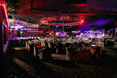
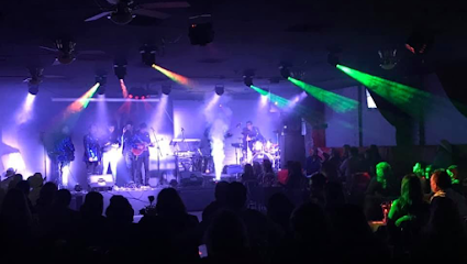
Zen Nightclub
14.0 km
Dive into Tucson's nightlife at Zen Nightclub - a vibrant venue offering electrifying music, dance, and a lively atmosphere for all party enthusiasts.
Lust DWTN
14.0 km
Experience the vibrant Tucson nightlife at Lust DWTN, a rooftop night club with stunning views and unforgettable music.

Owls Club
14.3 km
Discover the inviting ambiance and exceptional cocktails at Owls Club, Tucson's favorite bar for locals and tourists alike.
The Red Light Lounge at the Downtown Clifton
14.7 km
Discover The Red Light Lounge, a vibrant grill and lounge in downtown Tucson, where eclectic vibes meet delicious flavors for an unforgettable night out.
Hush Social Club
15.6 km
Discover Tucson's nightlife at Hush Social Club, where vibrant music, stylish ambiance, and social connections come alive.

Club 4th
16.2 km
Experience Tucson's vibrant nightlife at Club 4th, where music, dancing, and a lively atmosphere make for unforgettable nights out.
Bojangles Night Club
20.7 km
Discover Tucson's nightlife at Bojangles Night Club, where live music, dancing, and great vibes await you every night.