From Eve
Know before you go
Hi, I'm Eve. Here are a few practical things to know before exploring Rawnsley Bluff.
Local know-how to help you travel smarter and make the most of every moment.
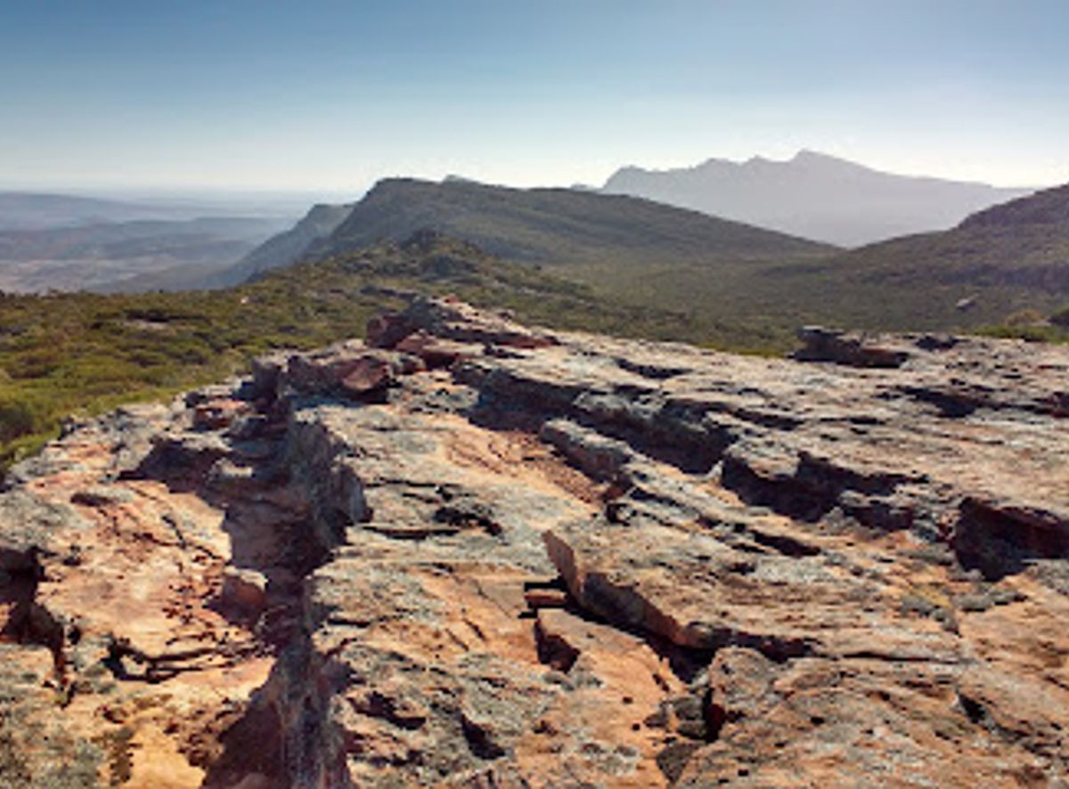
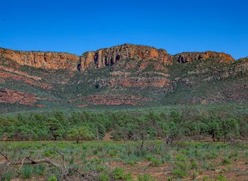
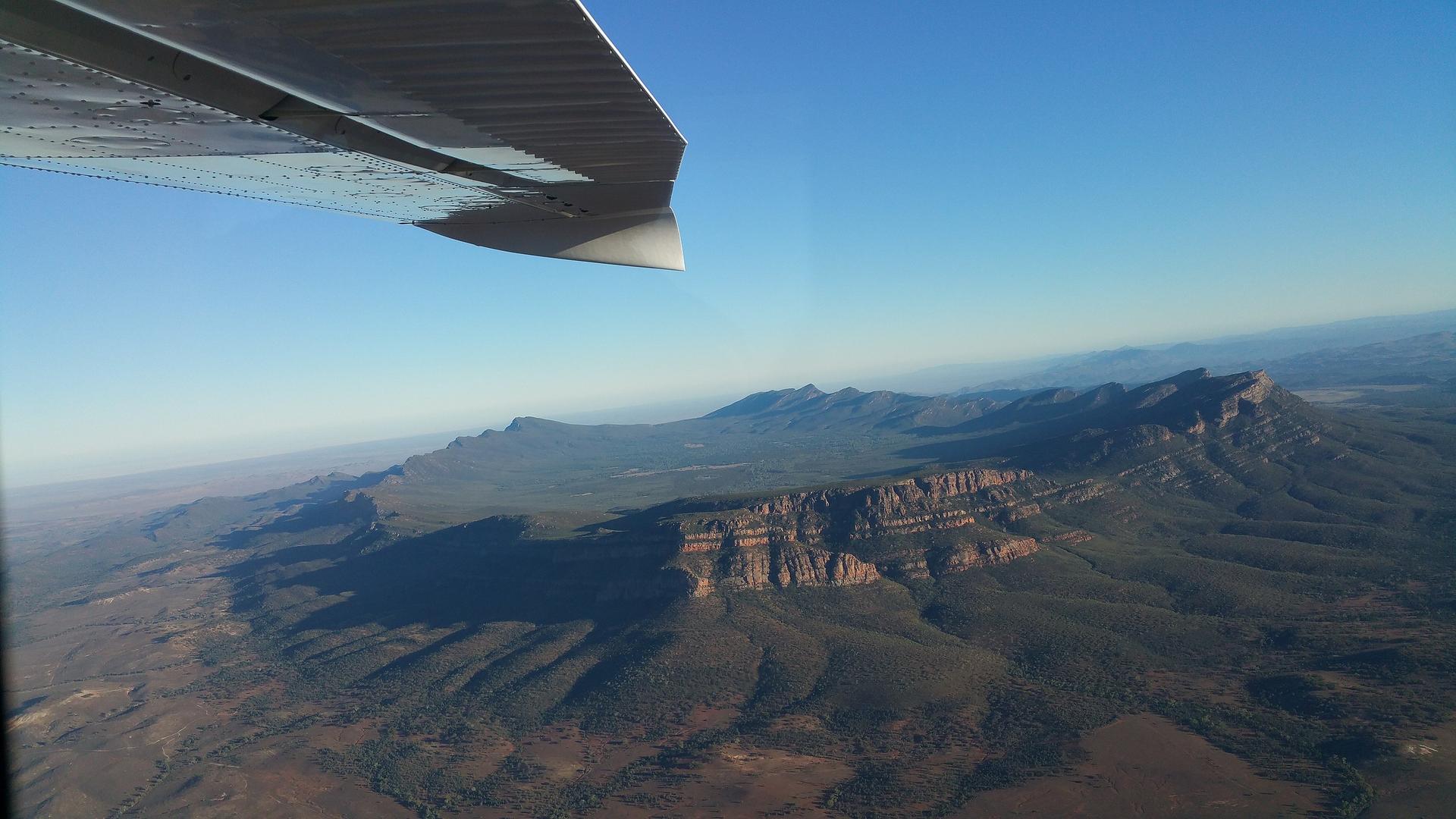
Hike to panoramic views atop Rawnsley Bluff in Flinders Ranges, South Australia. A challenging trail with rewarding outback vistas.
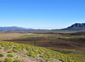
Rawnsley Bluff, located in the Ikara-Flinders Ranges National Park, offers stunning panoramic views of the surrounding ranges and Wilpena Pound. A challenging but rewarding hike leads to the summit, showcasing the rugged beauty of South Australia's outback.
Opening times, essentials, and a few local tips gathered into one calmer, easier-to-scan planning section.
Hi, I'm Eve. Here are a few practical things to know before exploring Rawnsley Bluff.
Local know-how to help you travel smarter and make the most of every moment.
Driving
To reach Rawnsley Bluff, drive to Rawnsley Park Station. From Hawker, head 35 kilometers north towards Wilpena Pound. Turn into Rawnsley Park Station off the Flinders Way Road and continue for 3.4km along the unsealed road towards the campground, then turn right onto a signposted road to the start of the trail where there is a parking area. The last few kilometers to the car park are on a well-graded dirt track. Parking is free at the Rawnsley Bluff Carpark.
Walking
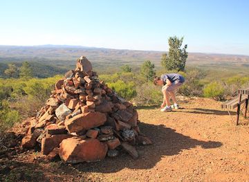
From the Rawnsley Bluff Carpark, the trail begins near a metal gate at the end of the Mawson Trail. Follow the dirt path, keeping the treeline to your left. The trail is well-signed, with markers approximately every 200 meters. After 570m, you'll reach the turnoff for Ferntree Falls. Continue straight to ascend Rawnsley Bluff.
Use Tower Bridge as your starting point for nearby food, family ideas, nightlife, and more local discoveries.

Explore expert travel guides, compare and book tours, experiences, hotels, and more—all from the palm of your hand. Download now for seamless trip planning wherever your wanderlust takes you.
Explore the awe-inspiring Flinders Ranges in South Australia, where rugged beauty, ancient geology, and rich Aboriginal culture come together for an unforgettable adventure.
Tell me more about Flinders Ranges