Riesachwasserfall
Riesachwasserfall: Styria's Majestic Cascade
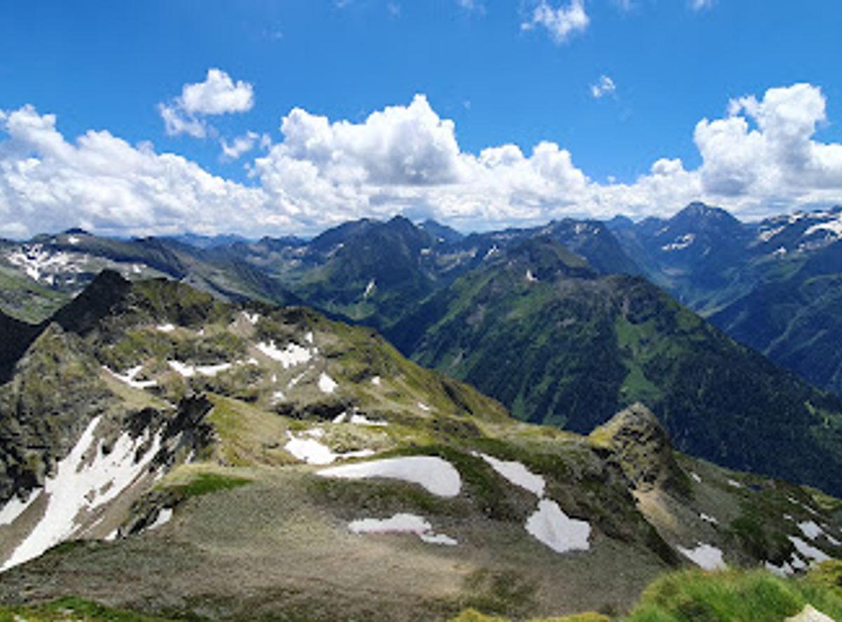
Conquer Höchstein in Schladming for panoramic alpine views, challenging hikes, and unforgettable mountain experiences in the Schladminger Tauern.
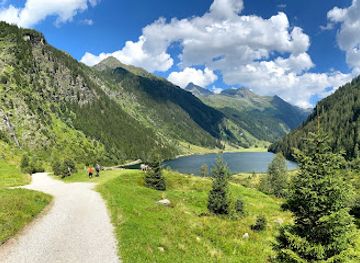
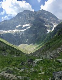
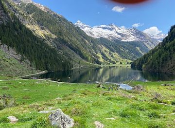
Höchstein, a striking peak in the Schladminger Tauern range, reaches 2,543 meters, offering panoramic views for experienced hikers and mountaineers. The challenging ascent rewards climbers with vistas of the Enns Valley, Dachstein glacier, and other Austrian Alps peaks. Popular routes include starting from Hauser Kaibling or the Steirischer Bodensee.
Opening times, essentials, and a few local tips gathered into one calmer, easier-to-scan planning section.
Public Transport
From Schladming, take the Planai bus to Rohrmoos or Untertal. Several bus lines connect Schladming with Rohrmoos-Untertal. Get off at the 'Riesachwasserfall' bus stop in Untertal, which is the final stop. From there, follow the signs to the hiking trails leading towards Höchstein. A bus fare is approximately €2-3. The Schladming-Dachstein Sommercard provides free use of public transportation in the region.
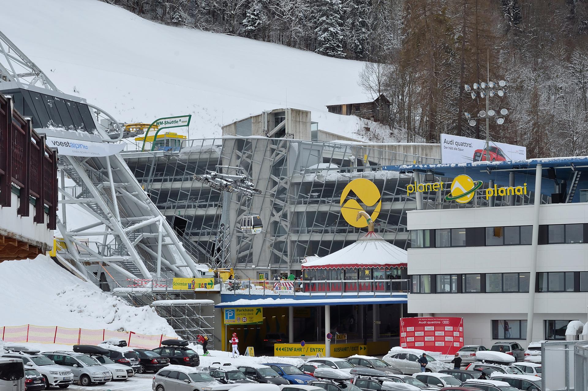
Cable Car
Take the Planai cable car from Schladming to the Planai summit, then hike towards Hauser Kaibling. From Hauser Kaibling, follow trail no. 780 towards the Seescharte and Höchstein. A single one-way ticket on the Planai cable car costs approximately €22 for adults without the Sommercard. A single ascent and descent with a cable car of your choice is included per day with the Schladming-Dachstein Sommercard.
Driving
From Schladming, follow the Rohrmoosstraße (L722) to Rohrmoos. At the roundabout in Rohrmoos, take the Tälerstraße (L723) towards Untertal. Continue through Untertal towards the Seeleiten car park at the end of the valley. Parking at Seeleiten costs €7 per day without the Schladming-Dachstein Sommercard, or €5 with the card.
Use Höchstein as your starting point for nearby food, family ideas, nightlife, and more local discoveries.

Explore expert travel guides, compare and book tours, experiences, hotels, and more—all from the palm of your hand. Download now for seamless trip planning wherever your wanderlust takes you.
Discover Schladming-Dachstein: Austria's Alpine Wonderland with World-Class Skiing, Scenic Hiking Trails, and Rich Cultural Heritage.
Tell me more about Schladming Dachstein