
Discovering the Wonders of Tecopa Rock Compass
Explore the breathtaking rock formations and stunning desert landscapes at Tecopa Rock Compass, a hidden gem in California's picturesque desert.
Tecopa Rock Compass, nestled in the scenic landscapes of California, offers a unique glimpse into the geological wonders of the desert. A must-visit for tourists seeking adventure and stunning views.
A brief summary to Tecopa Rock Compass
- VQ6C+GR, Tecopa, California, US
Local tips
- Visit during the early morning or late afternoon for the best lighting for photography.
- Bring plenty of water and snacks, as facilities are limited in the area.
- Wear sturdy hiking boots to navigate the rocky terrain comfortably.
- Check the weather before you go; desert temperatures can vary dramatically.
- Respect the natural environment by staying on marked trails to preserve the area.
Getting There
-
Car
From Furnace Creek, head south on CA-190 E for about 20 miles. Then, turn right onto Badwater Road and continue for approximately 15 miles. After that, make a left onto the road leading to Tecopa, which is signed as Tecopa Hot Springs Road. Continue for about 10 miles until you reach the small town of Tecopa. Tecopa Rock Compass is located at VQ6C+GR, Tecopa, CA 92389, which is just a short distance from the main road. Park your car in the designated areas available in town.
-
Public Transportation
Public transportation options in Death Valley are limited. The nearest major transport hub is in Las Vegas. You can take a bus from Las Vegas to Pahrump, then use a local taxi service to reach Tecopa. Once you arrive in Tecopa, you may need to walk or arrange for local transport to reach Tecopa Rock Compass at VQ6C+GR, Tecopa, CA 92389.
-
Walking
If you are already in Tecopa, you can walk to Tecopa Rock Compass. Starting from the Tecopa Hot Springs area, head southwest on Tecopa Hot Springs Road for about half a mile. Follow the signs or use a map application to guide you to VQ6C+GR, Tecopa, CA 92389. The area is relatively small, so it's easy to navigate on foot.
Discover more about Tecopa Rock Compass
Iconic landmarks you can’t miss
Cathedral Canyon
37.6 km
Discover the breathtaking beauty and geological wonders of Cathedral Canyon in Pahrump, Nevada, a historical landmark perfect for nature lovers and adventurers.
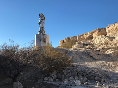
Potosi Historical Marker
68.6 km
Explore Nevada's rich mining history at the Potosi Historical Marker, a serene landmark surrounded by stunning mountain views.
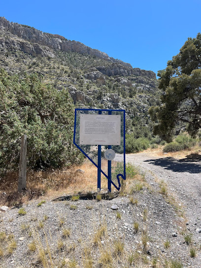
Wild Horse Cabin
68.9 km
Explore the enchanting Wild Horse Cabin, a historical landmark in Sloan, Nevada, offering rustic charm and serene natural beauty for every traveler.
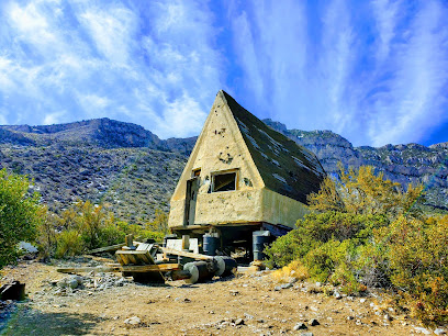
Nevada Historical Marker 102: Goodsprings
71.6 km
Explore the rich history of Goodsprings at Nevada Historical Marker 102, a captivating landmark in the heart of the Mojave Desert.
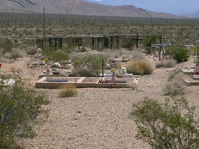
Red Rock Canyon
73.2 km
Explore the breathtaking beauty of Red Rock Canyon, a stunning national conservation area near Las Vegas, perfect for adventure and relaxation.
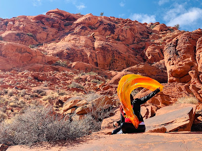
Petroglyphs and Pictographs Drawing
73.6 km
Uncover the ancient stories etched in stone at the Petroglyphs and Pictographs Drawing, a historical landmark in the heart of Las Vegas.
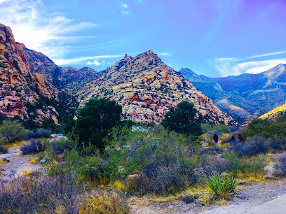
Red Rock Canyon Marker (South)
75.5 km
Explore the stunning Red Rock Canyon, an outdoor paradise near Las Vegas with breathtaking landscapes, hiking trails, and rich wildlife.
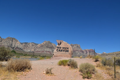
Red Rock Canyon Overlook
76.0 km
Explore the breathtaking landscapes and vibrant rock formations at Red Rock Canyon Overlook, a must-see scenic spot near Las Vegas.
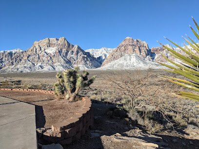
Barker Ranch
77.6 km
Discover the intriguing history of Barker Ranch, a historical landmark in Death Valley, where tales of the past meet breathtaking desert landscapes.
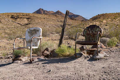
Calico Tanks Trail
78.1 km
Explore the breathtaking beauty of Calico Tanks Trail in Red Rock Canyon, a must-see hiking destination near Las Vegas with stunning landscapes and wildlife.
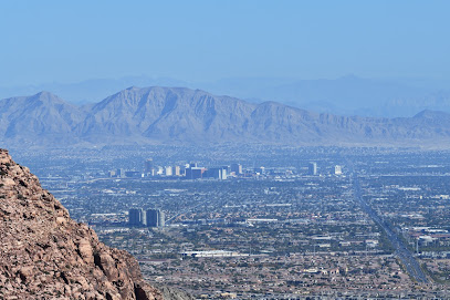
Red Rock Canyon Visitor Center
78.2 km
Experience the stunning landscapes and rich ecology of Nevada at the Red Rock Canyon Visitor Center, your gateway to outdoor adventures.
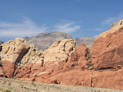
Red Rock Canyon Fee Station
78.4 km
Explore the stunning landscapes and outdoor adventures at Red Rock Canyon, a breathtaking escape just outside of Las Vegas.
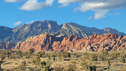
Twenty Mule Team Canyon
78.4 km
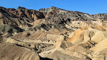
Explore Twenty Mule Team Canyon: A stunning park in Death Valley showcasing unique geological formations and breathtaking desert landscapes.
Red Rock Canyon NCA Scenic Drive Bureau of Land Management
78.4 km
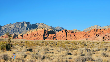
Explore the breathtaking beauty of Red Rock Canyon NCA, a stunning natural wonder just outside Las Vegas, perfect for outdoor adventures and scenic drives.
Red Spring: A Desert Oasis
79.2 km
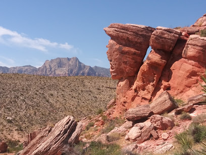
Explore the enchanting Red Spring, a serene desert oasis in Las Vegas, perfect for nature lovers and adventure seekers alike.
Unmissable attractions to see
Dublin Gulch
13.1 km
Explore Dublin Gulch, a historical landmark in Shoshone, California, where the echoes of the gold rush meet stunning desert landscapes.
Shoshone Museum
13.2 km
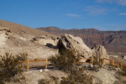
Explore California's desert heritage at Shoshone Museum, where history comes alive through captivating exhibits and local artifacts.
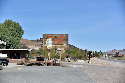
Sanders Family Winery
38.3 km
Experience the delightful flavors and scenic landscapes of Sanders Family Winery in Pahrump, Nevada, your perfect getaway for wine tasting.
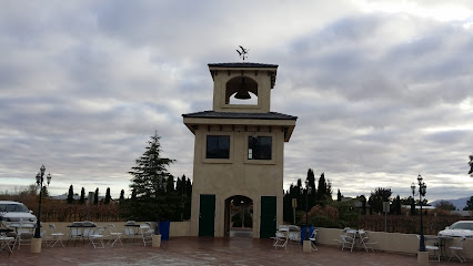
Ashford Mill Ruins
41.5 km
Discover the Ashford Mill Ruins in Death Valley, a historic landmark showcasing the mining heritage and breathtaking desert beauty.
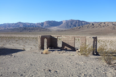
Pahrump Valley Museum
44.4 km
Explore the captivating history of Pahrump, Nevada at the Pahrump Valley Museum, where local culture and fascinating exhibits await.
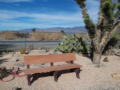
Charleston Peak Winery
44.7 km
Discover Charleston Peak Winery in Pahrump, NV – a delightful destination for wine lovers amidst stunning vineyard landscapes.
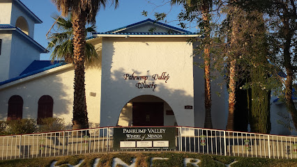
Death Valley Junction Garage
51.7 km
Explore the historic Death Valley Junction Garage, a unique attraction in California's iconic desert landscape, rich with history and stunning vistas.
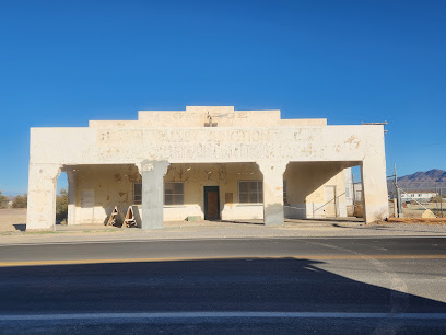
Amargosa Café
51.7 km
Discover the charm of Amargosa Café in Death Valley, where delicious food meets stunning desert views in a welcoming atmosphere.
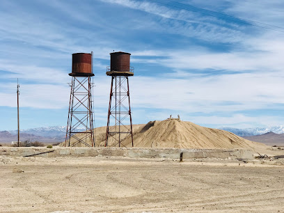
Sidewinder Canyon
51.7 km
Explore the stunning geological wonders of Sidewinder Canyon in Death Valley National Park, a must-visit hiking destination for nature lovers and adventure seekers.
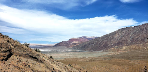
Willow Canyon Trailhead, Death Valley, CA
51.8 km
Discover the breathtaking landscapes and unique geological features of Willow Canyon Trailhead in Death Valley, California, a hiker's paradise.
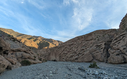
Death Valley Junction Historic District
51.8 km
Discover the rich history and stunning landscapes of Death Valley Junction Historic District, a unique gem in the heart of California's Mojave Desert.
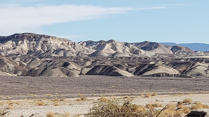
Amargosa Opera House
51.8 km
Discover the cultural oasis of the Amargosa Opera House, blending art, history, and stunning desert landscapes in Death Valley.

North Mesquite Mountains Wilderness Area
57.1 km
Discover the breathtaking wilderness of North Mesquite Mountains in Death Valley, California, where nature's beauty awaits every adventurer.

Dante's View
60.0 km
Experience the stunning panoramas and serene beauty of Dante's View, a must-visit peak in Death Valley National Park.
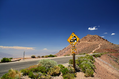
Dante's Ridge (Mt Perry) Trailhead
60.1 km
Discover the stunning views and unique trails of Dante's Ridge in Death Valley National Park, a must-visit destination for hiking enthusiasts.
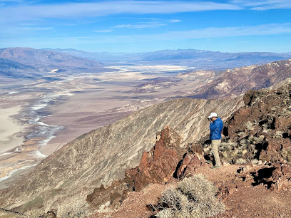
Essential places to dine
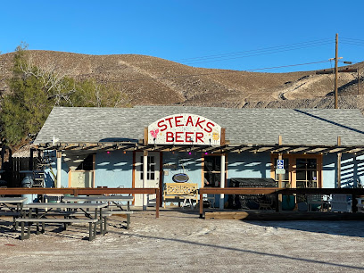
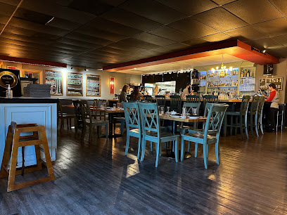
Steaks and Beer
1.0 km
Discover mouthwatering steaks and refreshing beers at Steaks and Beer in Tecopa—a hidden gem perfect for meat lovers visiting California's serene desert.
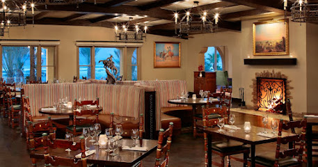
The Inn at Death Valley Dining Room
86.2 km
Experience exquisite dining amidst stunning desert vistas at The Inn at Death Valley Dining Room, where every meal is a journey into flavor.
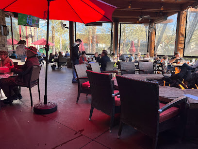
Lazy Dog Restaurant & Bar
86.7 km
Discover delicious American cuisine at Lazy Dog Restaurant & Bar - where comfort food meets casual dining in Las Vegas.
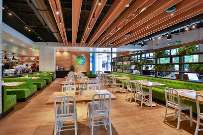
True Food Kitchen
86.7 km
Discover True Food Kitchen in Summerlin: Where Healthy Meets Delicious with Organic Options & Global Flavors.
Shake Shack Summerlin
86.8 km
Experience gourmet burgers and delectable shakes at Shake Shack Summerlin in Las Vegas - where fast food meets quality ingredients.
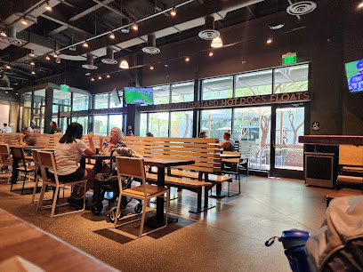
Maggiano's Little Italy
86.8 km
Experience authentic Italian cuisine at Maggiano's Little Italy in Summerlin, Las Vegas - perfect for families and special occasions.
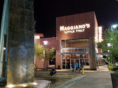
California Pizza Kitchen at Summerlin
86.8 km
Savor innovative pizza creations and fresh dishes at California Pizza Kitchen in Summerlin - your destination for casual dining in Las Vegas.
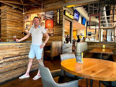
Yard House
86.9 km
Discover the culinary delights at Yard House in Summerlin, where New American cuisine meets craft beer in a vibrant atmosphere.
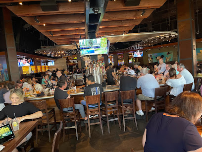
Lucille's Smokehouse Bar-B-Que
86.9 km
Experience authentic Southern barbecue at Lucille's Smokehouse Bar-B-Que in Las Vegas – where every bite is a celebration of flavor.
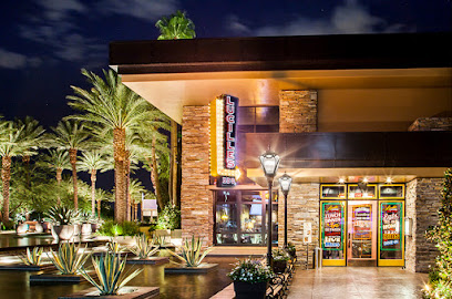
Blue Ribbon Sushi Bar & Grill - Red Rock
86.9 km
Experience the best of Japanese cuisine at Blue Ribbon Sushi Bar & Grill in Summerlin - where every bite tells a story.

Olive Garden Italian Restaurant
87.2 km
Experience authentic Italian cuisine at Olive Garden in Las Vegas; where family dining meets rich flavors in a cozy atmosphere.
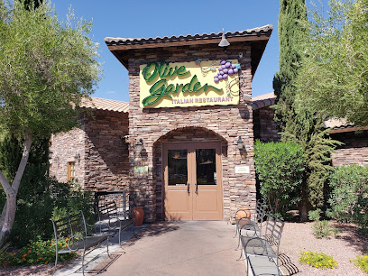
The Ranch 1849 Restaurant
87.5 km
Discover The Ranch 1849 Restaurant: A Buffet Delight in the Heart of Death Valley National Park.
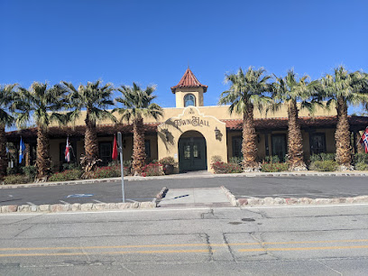
Wild Rose Tavern
87.8 km
Experience authentic American dining at Wild Rose Tavern in Death Valley—a perfect blend of comfort food and stunning desert views.
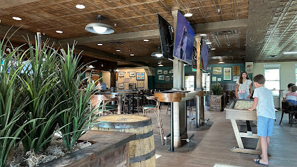
Other Mama
90.1 km
Experience the ultimate sushi dining at Other Mama in Las Vegas - where freshness meets innovation in every bite.
Honey Salt
90.4 km
Experience innovative New American cuisine at Honey Salt in Las Vegas—where fresh ingredients meet culinary creativity.

Markets, malls and hidden boutiques
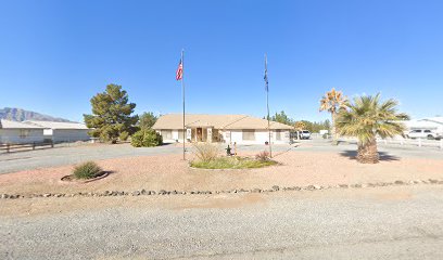
Quilted Dragon
38.7 km
Explore Quilted Dragon in Pahrump, NV: Your one-stop destination for quality fabrics, quilting supplies, and creative inspiration.
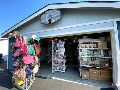
Lighthouse Gift Shop
40.7 km
Explore the Lighthouse Gift Shop in Pahrump for unique crafts, delightful gifts, and a charming garden center experience.
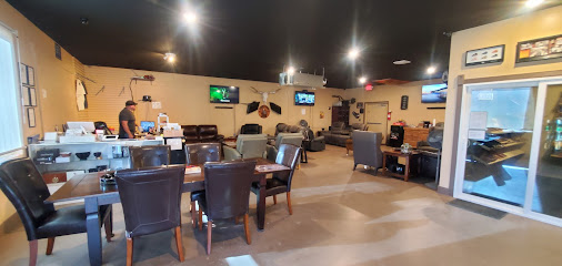
Low Side Cigar Lounge
42.6 km
Experience the finest selection of premium cigars in a welcoming atmosphere at Low Side Cigar Lounge in Pahrump, NV.
Shell
42.8 km
Discover Pahrump's essential Shell station, offering fuel, convenience, and services for a smooth travel experience in Nevada's beautiful landscapes.
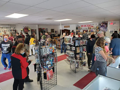
Hypno Comics & Games
44.1 km
Explore a treasure trove of comics, games, and collectibles at Hypno Comics & Games in Pahrump, NV - where every fan finds their passion.
Make an Offer Shoppe
44.2 km
Explore eclectic treasures at Make an Offer Shoppe in Pahrump, Nevada, where unique finds meet unbeatable prices, perfect for every treasure hunter.

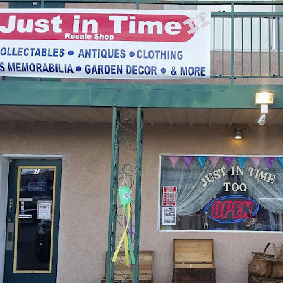
Just in Time Too
44.3 km
Explore the charm of Just in Time Too, a home goods store in Pahrump, NV, offering unique decor and gifts perfect for every home.
Master at arms
44.4 km
Explore Master at Arms in Pahrump, NV for a unique shopping experience filled with local treasures and friendly service.
Walmart Supercenter
44.6 km
Experience shopping convenience at Walmart Supercenter in Pahrump, Nevada, offering groceries, clothing, electronics, and more all in one place.

Smith's
44.6 km
Explore the vibrant selection of fresh produce, baked goods, and local specialties at Smith's Grocery Store in Pahrump, Nevada.
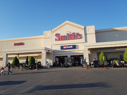
G.I. Usa
44.8 km
Explore G.I. Usa in Pahrump for unique gifts and souvenirs reflecting the charm and culture of Nevada's vibrant community.
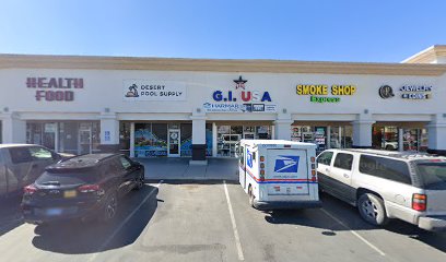
Sonoma Thrift store - pahrump
45.0 km
Explore Sonoma Thrift Store in Pahrump for unique vintage finds and affordable treasures, perfect for any bargain hunter visiting Nevada.

The Grove Cannabis Dispensary Pahrump
45.3 km
Explore premium cannabis products at The Grove Dispensary in Pahrump, Nevada - your gateway to quality and variety.
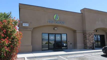
The Home Depot
45.4 km
Discover the ultimate home improvement destination in Pahrump, offering a wide range of products for every DIY project and home renovation.
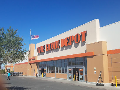
Death Valley Marketplace
46.9 km
Discover unique souvenirs and sweet treats at Death Valley Marketplace, a charming stop for travelers in the heart of Nevada's desert.
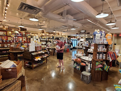
Essential bars & hidden hideouts
Death Valley Brewing
1.5 km
Discover the charm of Death Valley Brewing, where handcrafted beers meet serene desert landscapes in Tecopa, California.
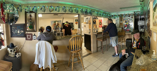
Crowbar Cafe & Saloon
13.2 km
Discover the heart of Shoshone at Crowbar Cafe & Saloon, where American flavors meet rustic charm in a welcoming atmosphere.
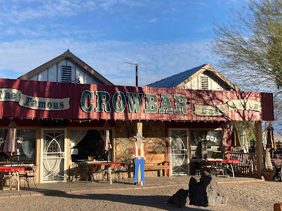
Leghorn bar
34.0 km
Experience the warmth and charm of Leghorn Bar in Pahrump, where local flavors meet friendly faces in a cozy setting.
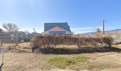
The Hideaway Bar
38.3 km
Experience the vibrant atmosphere of The Hideaway Bar in Pahrump, offering a great selection of drinks and a friendly local vibe.
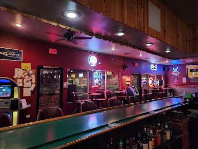
Wild Side Tavern(WST)
40.4 km
Discover the excitement of Wild Side Tavern in Pahrump, NV - a premier bar for gambling, nightlife, and unforgettable experiences.
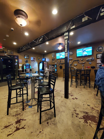
Who's Dunes Lounge
42.2 km
Discover the lively vibe of Who's Dunes Lounge, your perfect spot for drinks, socializing, and entertainment in Pahrump, NV.
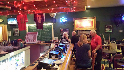
Saddle West Hotel Casino RV Resort
44.0 km
Discover the perfect getaway at Saddle West Hotel Casino RV Resort, where comfort meets excitement in Pahrump, Nevada.

The Hubb
46.7 km
Experience the vibrant flavors and welcoming atmosphere at The Hubb, Pahrump's favorite grill and bar, where every meal is a celebration.
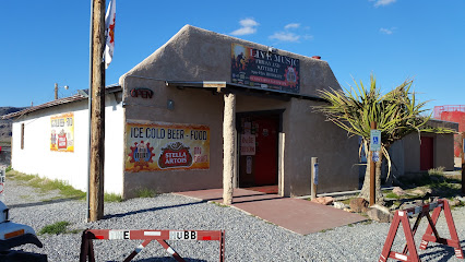
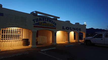
Tumbleweed Tavern
47.5 km
Discover Tumbleweed Tavern, the perfect blend of good drinks, great food, and a warm atmosphere in the heart of Pahrump, Nevada.
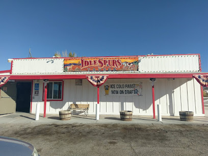
Idle Spurs Tavern
56.3 km
Experience the warmth and charm of Idle Spurs Tavern in Sandy Valley, Nevada, where great drinks and friendly vibes await every traveler.
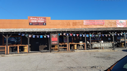
Stateline Saloon
63.7 km
Experience the vibrant atmosphere and delicious offerings at Stateline Saloon in Amargosa Valley, your go-to bar and cafe in Nevada.
Jack’s Cafe
63.8 km
Discover the charm of Jack’s Cafe in Amargosa Valley, where delicious coffee and a cozy atmosphere await every traveler.

Longstreet Hotel Casino & RV Resort
63.8 km
Discover the ultimate blend of entertainment and relaxation at Longstreet Hotel Casino & RV Resort in Amargosa Valley, Nevada.
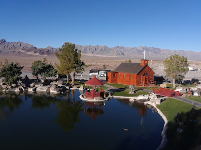
Bristlecone Bar
69.6 km
Discover Bristlecone Bar in Lee Canyon: your relaxing escape with stunning views, refreshing drinks, and inviting atmosphere in the heart of nature.
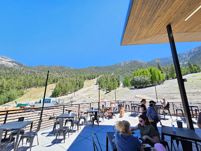
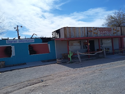
Short Branch Saloon
70.2 km
Discover the enchanting atmosphere of Short Branch Saloon in Pahrump, Nevada, where rustic charm meets vibrant local culture for an unforgettable experience.
Nightclubs & after hour spots
Furnace Creek Ranch Golf Course
88.1 km
Discover the breathtaking Furnace Creek Ranch Golf Course, an oasis of golf in the stunning landscapes of Death Valley, California.
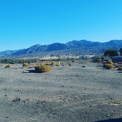
Mango Tango Nightclub
97.1 km
Unleash your energy at Mango Tango Nightclub, the ultimate nightlife hub in Las Vegas featuring live DJs and an electrifying atmosphere.

Ghostbar
97.1 km
Experience the nightlife at Ghostbar, a chic cocktail bar with breathtaking views and a vibrant atmosphere in Las Vegas.
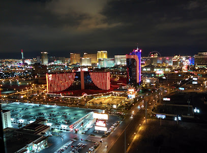
JEWEL Nightclub
98.5 km
Immerse yourself in the electrifying atmosphere of JEWEL Nightclub, where world-class DJs and vibrant energy create unforgettable nightlife experiences in Las Vegas.

Marquee Nightclub
98.7 km
Marquee Nightclub: Where the Rhythm of Las Vegas Comes Alive with Unforgettable Nights of Dance, Music, and Celebration.

OMNIA Nightclub
99.0 km
Discover the electrifying nightlife at OMNIA Nightclub, where stunning design meets world-class entertainment in the heart of Las Vegas.

Drai's Beachclub & Nightclub
99.1 km
Discover the ultimate nightlife experience at Drai's Beachclub & Nightclub, the heart of Las Vegas entertainment, featuring live music, luxury cabanas, and a pulsating atmosphere.
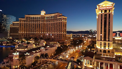
Free Nightclub & Dayclub Guest List Promotion
99.8 km
Experience the vibrant nightlife of Las Vegas at this premier nightclub, where unforgettable memories and electrifying energy await you.
