Mammoth Rock Trail End, Mammoth Lakes Travel Guide
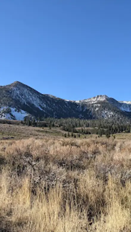
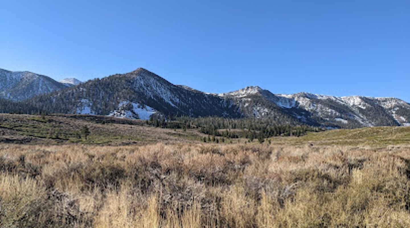
Hike or bike beneath the iconic Mammoth Rock, a geological wonder offering panoramic views of Mammoth Lakes and the Eastern Sierra, with trails for all skill levels.
The Mammoth Rock Trail, near Mammoth Lakes, California, offers a moderate 5.1-mile round trip hike with stunning panoramic views. Beginning off Sherwin Creek Road, the trail ascends through varied landscapes, from open meadows to shaded forests, passing the iconic Mammoth Rock, a massive limestone and marble monolith containing 250-million-year-old fossils. The trail reveals vistas of Mammoth Mountain, the Sherwin Range, and the Owens Valley. Popular among hikers, mountain bikers, and equestrians, it provides a rewarding outdoor experience with a touch of geological history. Be prepared for moderate elevation gain and shared trail use. The trail is open 24/7, offering flexibility for early morning or late afternoon adventures, with parking available at both trail ends.
A brief summary to Mammoth Rock Trail End
- Sherwin Creek Rd, Mammoth Lakes, California, 93546, US
- Click to display

Know before you go
Hi, I'm Eve. Here are a few practical things to know before exploring Mammoth Rock Trail End.
- Hike early in the morning or late afternoon to avoid the midday heat, especially during summer months.
- Bring plenty of water, sunscreen, and wear sturdy hiking shoes due to varied trail conditions.
- Be aware of other trail users, including mountain bikers and horseback riders, and yield appropriately.
- Check trail conditions before heading out, especially during winter, as snow may require snowshoes.
- Consider combining the hike with other nearby trails for a longer and more immersive experience.
Do you manage this location?
Take control to get all the benefits, like improved information, better appearance, and stronger visibility across AI-powered discovery. Learn more about listing your business on Evendo
Activate your presenceOther nearby places you may find interesting
The closest places of the same kind, if this one is not quite what you had in mind.
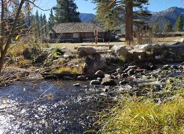
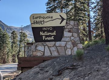
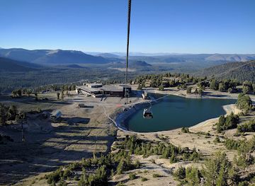
Explore Mammoth Rock Trail End on the Map
A handpicked selection of must-see spots near Mammoth Rock Trail End, mapped for you.
Getting There
-
Driving
From Main Street in Mammoth Lakes, head south on Old Mammoth Road. Turn left onto Sherwin Creek Road. Continue for approximately 0.8 miles. The trailhead will be on your left, with limited parking available. Be mindful of other vehicles and hikers when parking. Parking is free.
-
Public Transport
Take the free Town of Mammoth Lakes Teal Line bus to the Old Mammoth Road/Sherwin Creek Road stop (Stop 40). From there, walk east on Sherwin Creek Road for approximately 0.8 miles to reach the trailhead. The bus service is free and operates year-round, with service every 30 minutes. Check the Eastern Sierra Transit Authority (ESTA) website for the most up-to-date schedule.
Discover more about Mammoth Rock Trail End













Your all‑in‑one travel companion app
Explore expert travel guides, compare and book tours, experiences, hotels, and more—all from the palm of your hand. Download now for seamless trip planning wherever your wanderlust takes you.


Explore More of Mammoth Lakes
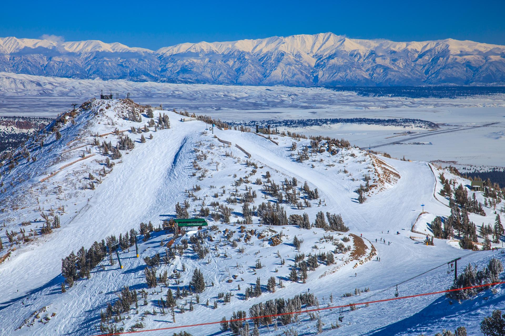
Looking beyond Mammoth Rock Trail End? Discover Mammoth Lakes for broader travel guides, local hot-spots, and regional highlights.
Explore Mammoth Lakes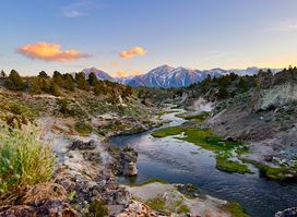
Experience breathtaking panoramic views of the Sierra Nevada at Brees Lookout in Mammoth Lakes, California, offering a serene escape into nature's beauty and iconic vistas of Hot Creek.

Discover the beauty of Sherwin Lakes near Mammoth Lakes: a moderate hike through stunning scenery, perfect for a day of outdoor adventure and alpine tranquility.