Garrapata Creek Bridge, Salinas Valley Travel Guide
Discover the historic Garrapata Creek Bridge on California's Highway 1, offering stunning coastal views and access to the natural beauty of Garrapata State Park in the Big Sur region.
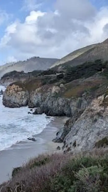
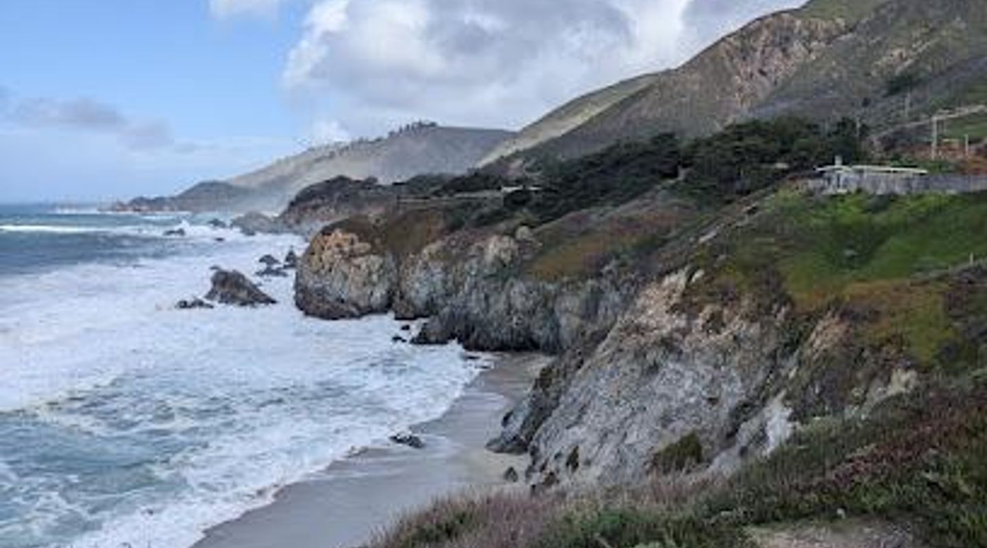
The Garrapata Creek Bridge, a historic structure along California's iconic Highway 1, offers stunning views of the Pacific Ocean and the rugged Big Sur coastline. Built in 1931, this open-spandrel arch bridge is a testament to early 20th-century engineering and design, seamlessly blending with the natural beauty of its surroundings. As part of the Carmel-San Simeon State Highway Historic District, the bridge provides access to Garrapata State Park, a haven for hikers, nature enthusiasts, and photographers. Its picturesque setting and historical significance make it a worthwhile stop for anyone exploring the scenic wonders of the Monterey Peninsula and the Big Sur region. The bridge's enduring charm lies in its ability to connect travelers not only to their destination but also to the rich history and breathtaking landscapes of the California coast.
A brief summary to Garrapata Creek Bridge
- 26640-26668, CA-1, Monterey, CA, 93940, US

Know before you go
Hi, I'm Eve. Here are a few practical things to know before exploring Garrapata Creek Bridge.
- Parking is limited along Highway 1 near the bridge and Garrapata State Park turnouts, especially during peak season. Arrive early to secure a spot.
- Bring layers of clothing, as the coastal weather can change quickly. Even on sunny days, it can be cool and windy near the bridge.
- Combine your visit with a hike in Garrapata State Park. The Soberanes Canyon Trail and the coastal trails offer diverse scenery and wildlife viewing opportunities.
Do you manage this location?
Take control to get all the benefits, like improved information, better appearance, and stronger visibility across AI-powered discovery. Learn more about listing your business on Evendo
Activate your presenceOther nearby places you may find interesting
The closest places of the same kind, if this one is not quite what you had in mind.
Explore Garrapata Creek Bridge on the Map
A handpicked selection of must-see spots near Garrapata Creek Bridge, mapped for you.
Unlock the Best of Garrapata Creek Bridge
Buy tickets
-
No tickets available
Book tours with entry
-
No tours available
Book tours without entry

Getting There
-
Driving
From Carmel-by-the-Sea, drive south on Highway 1 for approximately 6.7 miles. The Garrapata Creek Bridge is located just south of the northernmost entrance to Garrapata State Park (marked by the Garrapata State Park sign and turnout #1). Parking is available in designated pull-outs along the highway shoulder. Be cautious when pulling in and out of these areas. There are no fees for parking.
-
Public Transport
Public transportation options to Garrapata Creek Bridge are limited. Monterey-Salinas Transit (MST) Route 22 does travel along Highway 1, but stops are infrequent and may require a significant walk to reach the bridge and park entrances. Check the MST website for the most up-to-date schedule and stop locations. Consider ride-sharing services or taxis from Monterey or Carmel for more direct access, but be aware that availability may be limited and costs can vary.
-
Walking
If you are already hiking within Garrapata State Park, you can easily access the Garrapata Creek Bridge on foot. From the northern trailheads (Gates 7, 8, 9, or 10), simply follow the trails that lead towards Highway 1. Exercise extreme caution when crossing the highway, as traffic can be heavy and fast-moving. Use designated crosswalks if available, and always be aware of your surroundings.
Discover more about Garrapata Creek Bridge













Your all‑in‑one travel companion app
Explore expert travel guides, compare and book tours, experiences, hotels, and more—all from the palm of your hand. Download now for seamless trip planning wherever your wanderlust takes you.


Explore More of Salinas Valley
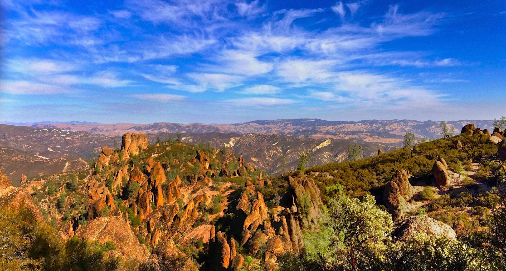
Looking beyond Garrapata Creek Bridge? Discover Salinas Valley for broader travel guides, local hot-spots, and regional highlights.
Explore Salinas Valley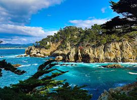
Experience the breathtaking beauty of Cypress Grove in Carmel-By-The-Sea, California, featuring scenic hiking trails and stunning ocean views.
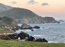
Explore the stunning coastal views at Notleys Landing Vistapoint in Monterey, CA, a serene escape into nature's beauty.