From Eve
Know before you go
Hi, I'm Eve. Here are a few practical things to know before exploring Twin Peaks.
Local know-how to help you travel smarter and make the most of every moment.

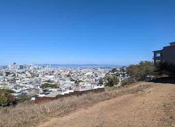
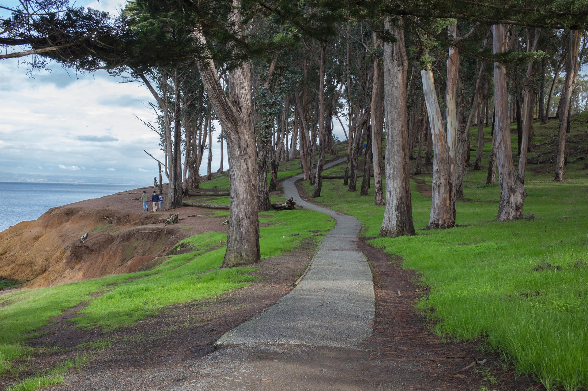
Experience San Francisco's best 360-degree views from Twin Peaks, a natural landmark offering iconic vistas and hiking trails.
Twin Peaks, rising nearly 1000 feet above San Francisco, offers the most stunning 360-degree views of the city, the bay, and beyond. These iconic hills, named Eureka and Noe, are a must-see for any visitor, providing unmatched perspectives of the Golden Gate Bridge, downtown skyline, and the Pacific Ocean.
Opening times, essentials, and a few local tips gathered into one calmer, easier-to-scan planning section.
Hi, I'm Eve. Here are a few practical things to know before exploring Twin Peaks.
Local know-how to help you travel smarter and make the most of every moment.
Driving
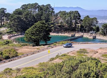
From downtown San Francisco, take Market Street southwest. It will turn into Portola Drive. Turn right onto Twin Peaks Boulevard and follow the road to the summit parking lot. Parking is free. Be aware that access via Clarendon Road is permanently closed.
Public Transport
Take the 37 Corbett Muni bus from Market Street to the #74 Crestline Drive stop. From there, follow the path and stairs to the base of the hills. A single ride on Muni costs $3.
Taxi/Ride-share
A taxi or ride-share from downtown San Francisco to Twin Peaks typically costs $20-$25.
Use Tower Bridge as your starting point for nearby food, family ideas, nightlife, and more local discoveries.

Explore expert travel guides, compare and book tours, experiences, hotels, and more—all from the palm of your hand. Download now for seamless trip planning wherever your wanderlust takes you.
Discover San Mateo, a serene gem in California's Bay Area, offering a mix of historic charm, modern amenities, and abundant natural beauty.
Tell me more about San Mateo