Ridge Route Historical Marker: Echoes of California's First Superhighway
Discover the legacy of California's first mountain highway, a testament to early 20th-century engineering and a vital link between regions.
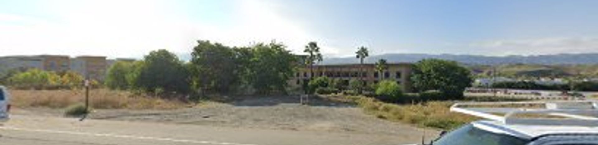
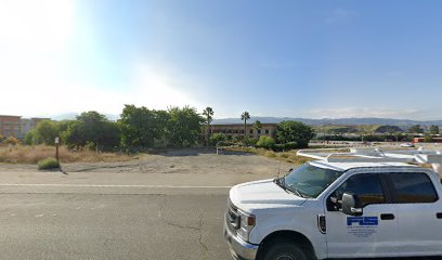
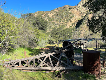
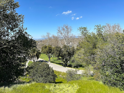
The Ridge Route Historical Marker commemorates the engineering marvel that was California's first mountain highway, connecting Northern and Southern California in 1915. This winding road, with its countless curves, played a vital role in the state's development, fostering commerce and tourism before being replaced by modern highways.
A brief summary to Ridge Route Historical Marker
- Santa Clarita, Valencia, California, 91355, US
- Visit website
Local tips
- Explore the remaining sections of the original Ridge Route for a scenic drive back in time.
- Visit the Vista Del Lago Visitor Center near Gorman to learn more about the history of the Ridge Route.
- Take photos of the historical marker and the surrounding landscape, capturing the essence of this historic landmark.
Getting There
-
Driving
The Ridge Route Historical Marker is located off Interstate 5 (I-5) in Santa Clarita. From I-5, exit at Vista Del Lago Road and follow the signs to the Vista Del Lago Visitor Center. The marker is located in the parking lot of the visitor center. Parking is free at the visitor center.
-
Public Transport
While direct public transportation to the Ridge Route Historical Marker at the Vista Del Lago Visitor Center is limited, you can take Santa Clarita Transit to কাছাকাছি locations within Santa Clarita. From there, you may need to use a ride-sharing service or taxi to reach the visitor center. Santa Clarita Transit offers various local routes , with fares typically around $1-$2 for a single ride. Check the Santa Clarita Transit website or app for the most up-to-date route information and schedules.
Discover more about Ridge Route Historical Marker
Iconic landmarks you can’t miss
Ridge Route Historical Marker
0.0 km
Discover the Ridge Route Historical Marker in Santa Clarita, a tribute to California's first mountain highway, offering scenic views and a glimpse into the state's transportation history.
Rancho San Francisco Historical Marker
0.5 km
Explore the rich history of Rancho San Francisco Historical Marker in Valencia, California, and discover the legacy of early Californian ranching.
The New Revolution – Classic
2.5 km
Experience the thrill of a lifetime on The New Revolution at Six Flags Magic Mountain, the world's first modern looping coaster, offering a classic ride with a modern twist.
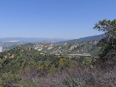
San Francisquito Canyon
3.1 km
Discover the serene San Francisquito Canyon in Santa Clarita, California, a perfect escape for nature lovers and adventure seekers with breathtaking views.
Iron Horse Trailhead
3.1 km
Discover Santa Clarita's history and natural beauty at the Iron Horse Trailhead, featuring a historic bridge, public art, and access to scenic trails for hiking, biking, and equestrian adventures.

Newhall Ranch
3.9 km
Explore Newhall Ranch in Valencia, California - a modern housing development surrounded by scenic beauty and innovative community design.
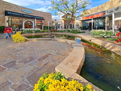
Valencia Town Center
5.0 km
Experience Valencia Town Center: A premier shopping, dining, and entertainment destination in Santa Clarita, offering a vibrant mix of retailers and community events for the whole family.
Soledad Canyon
6.0 km
Explore Soledad Canyon: A historic passage through stunning landscapes, offering hiking, history, and a glimpse into California's transportation past, just a short drive from Santa Clarita.
Pico Canyon
6.5 km
Explore Pico Canyon: Discover California's oil industry origins amidst scenic trails and historic Mentryville, a preserved 1880s boomtown in Santa Clarita Woodlands Park.
Old Town Newhall
9.9 km
Explore Old Town Newhall, a charming historical landmark in California, filled with boutique shops, art galleries, and vibrant community events.

Old Car Home
10.6 km
Explore the Old Car Home in Newhall, CA - a captivating historical landmark showcasing vintage automobiles and automotive history.
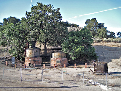
Pioneer Oil Refinery
11.1 km
Discover the roots of California's oil industry at the Pioneer Oil Refinery in Newhall, where history comes alive amidst original structures and tales of innovation.
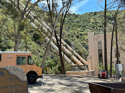
Dam disaster plaque
12.3 km
Reflect on the St. Francis Dam disaster at this memorial plaque, a poignant reminder of a tragic chapter in California's history and the importance of engineering responsibility.
West Portal Newhall Tunnel
12.7 km
Explore the historic West Portal Newhall Tunnel in Santa Clarita, a testament to 19th-century engineering and a vital link in California's transportation history, offering scenic views and a glimpse into the past.
Beale's Cut
13.9 km
Discover Beale's Cut: A historic stagecoach pass and iconic film location in Santa Clarita, California, offering a glimpse into the Old West and early transportation.
Unmissable attractions to see
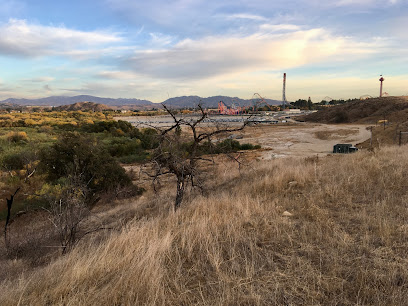
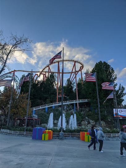
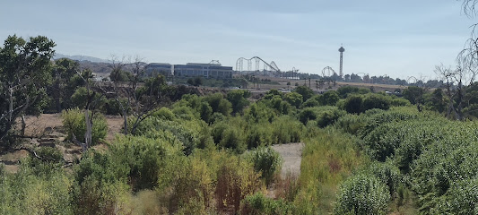
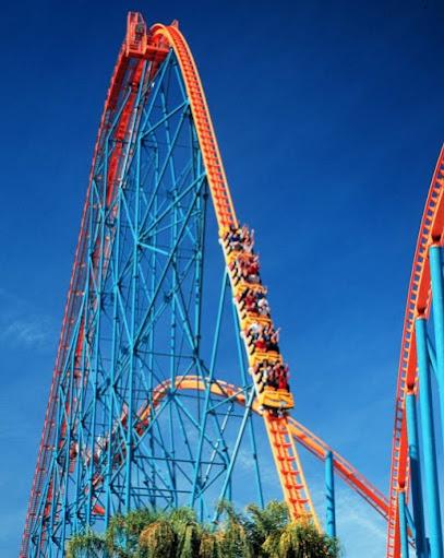
Six Flags Magic Mountain
2.2 km
Experience the thrill of Six Flags Magic Mountain, home to world-class roller coasters and endless family fun in Valencia, California.
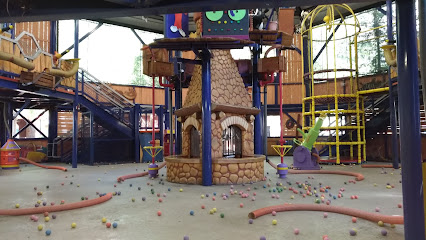
The Looney Tunes Lodge
2.2 km
An indoor playground in Six Flags Magic Mountain's Bugs Bunny World, filled with foam balls and slides for family fun.
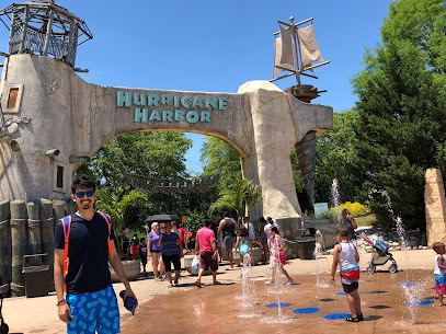
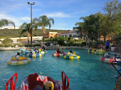
Hurricane Harbor Los Angeles
2.3 km
Experience the ultimate water adventure at Hurricane Harbor Los Angeles, a top-tier water park with thrilling rides and family-friendly fun.
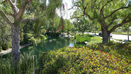
Valencia Heritage Park
4.1 km
Discover the tranquility of Valencia Heritage Park, a lush green oasis in Santa Clarita perfect for relaxation, family outings, and nature walks.

Billy Beez
5.3 km
Discover endless fun and adventure at Billy Beez, Valencia's ultimate indoor playground for kids, featuring exciting attractions and birthday party services.
Tesoro Adobe Historic Park
5.3 km
Explore the rich history and serene beauty of Tesoro Adobe Historic Park, where culture meets nature in Valencia, California.
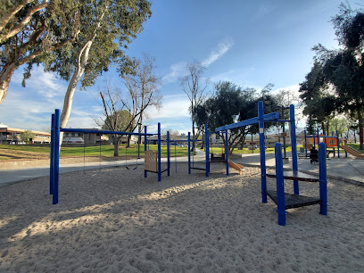
Bridgeport Park
5.4 km
Escape to Bridgeport Park in Santa Clarita for serene walking paths, family fun, and community events in a picturesque setting.
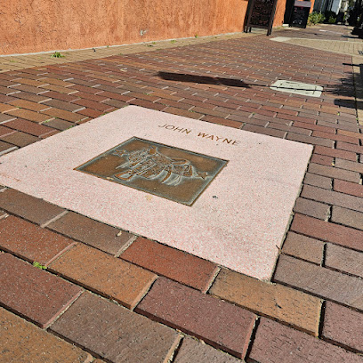
Walk of Western Stars
5.6 km
Discover the Walk of Western Stars in Santa Clarita, a tribute to the legends of Western films set in a picturesque outdoor environment.
Summit Park
5.8 km
Explore Summit Park in Valencia, California – a beautiful park perfect for families, nature lovers, and outdoor enthusiasts looking for relaxation and recreation.
Valencia Glen Park
7.2 km
Discover the natural beauty and recreational charm of Valencia Glen Park in Santa Clarita, an ideal destination for families and nature lovers.
Mentryville Park
7.2 km
Discover California's oil boom history in the Santa Susana Mountains at this preserved ghost town with scenic hiking trails.
Old Orchard Park
8.7 km
Explore the scenic beauty of Old Orchard Park, a perfect blend of nature and leisure in Santa Clarita, California.
Mountasia Family Fun Center
8.9 km
Discover endless entertainment for the whole family at Mountasia Family Fun Center in Santa Clarita, the ultimate amusement park experience!
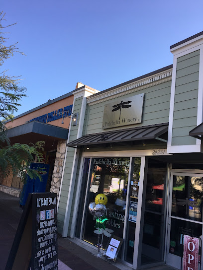
Pulchella Winery
10.0 km
Explore the scenic beauty and exquisite wines of Pulchella Winery, a must-visit destination for wine lovers in Santa Clarita.
Hart Park
10.2 km
Explore the legacy of a silent film legend at this Santa Clarita park, featuring a museum, bison herd, hiking trails, and a glimpse into the Old West.
Essential places to dine
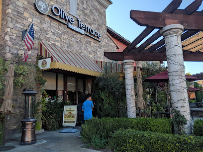
Olive Terrace Bar & Grill
2.2 km
Experience the essence of Mediterranean cuisine at Olive Terrace Bar & Grill in Santa Clarita - where flavor meets hospitality.
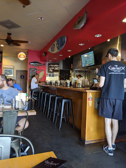
Fish Tail Seafood Grill & Poke Fish Fry
2.6 km
Discover delicious seafood delights at Fish Tail Seafood Grill & Poke Fish Fry in Valencia - where freshness meets flavor!
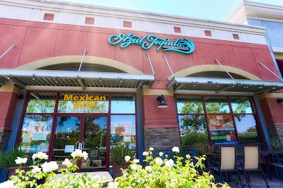
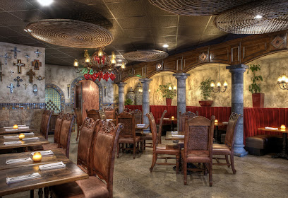
Azul Tequila Mexican Bar & Grill
3.1 km
Experience the vibrant flavors of Mexico at Azul Tequila Mexican Bar & Grill in Valencia - where delicious food meets lively atmosphere.
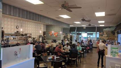
Eggs 'n' Things Valencia
3.7 km
Experience the best breakfast and lunch at Eggs 'n' Things Valencia - where delicious flavors meet warm hospitality.
Olive Garden Italian Restaurant
4.4 km
Discover authentic Italian cuisine at Olive Garden in Santa Clarita – perfect for families and travelers seeking delicious meals in a warm atmosphere.
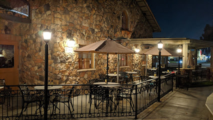
Marston's Restaurant
4.5 km
Discover Marston's Restaurant in Valencia: A cozy spot serving classic American meals and breakfast favorites with a vibrant bar atmosphere.
Sabor Cocina Mexicana
4.6 km
Experience authentic Mexican flavors at Sabor Cocina Mexicana in Valencia - where every dish tells a delicious story.
Greater Pacific
4.6 km
Discover culinary excellence at Greater Pacific, where fresh seafood meets innovative flavors in Valencia's vibrant dining scene.
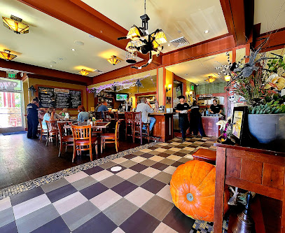
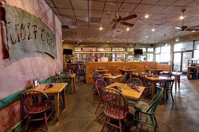
Wolf Creek Restaurant
4.6 km
Experience culinary excellence at Wolf Creek Restaurant in Valencia - where fresh ingredients meet craft brews in a cozy setting.
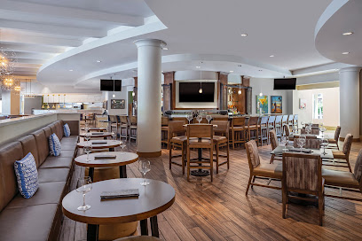
Salt Creek Grille Valencia
4.7 km
Discover exceptional steaks and a vibrant atmosphere at Salt Creek Grille Valencia - your premier dining destination in California.
BJ's Restaurant & Brewhouse
4.7 km
Discover BJ's Restaurant & Brewhouse in Valencia: A perfect blend of delicious food, handcrafted beers, and vibrant atmosphere.
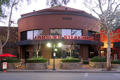
Larsen's Steakhouse -- Valencia
4.7 km
Discover culinary excellence at Larsen's Steakhouse in Valencia – where prime steaks meet fresh seafood in an elegant setting.
Buca di Beppo Italian Restaurant
4.8 km
Experience authentic Italian cuisine in a lively setting at Buca di Beppo - where every meal is a celebration with family.
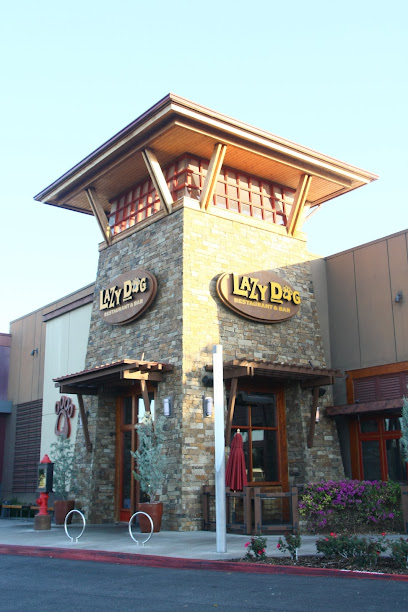
Lazy Dog Restaurant & Bar
5.2 km
Discover a cozy American dining experience at Lazy Dog Restaurant & Bar in Valencia, where comfort food meets local charm.
Islands Restaurant Santa Clarita
5.3 km
Experience the best of American cuisine at Islands Restaurant in Santa Clarita - perfect for families and burger lovers alike.

Markets, malls and hidden boutiques
The Cabana Brothers' Trading & Export Company
2.2 km
Explore an eclectic range of souvenirs and unique gifts at The Cabana Brothers' Trading & Export Company in Valencia, California.
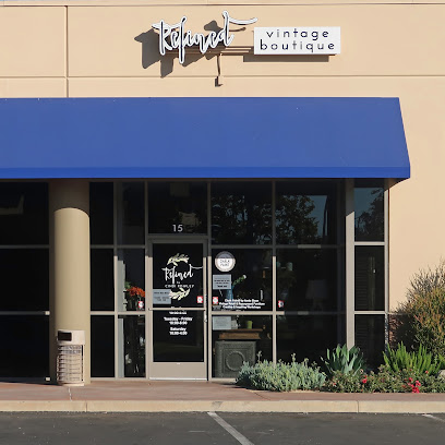
Refined Vintage Boutique
3.5 km
Explore Refined Vintage Boutique for unique vintage fashion, home goods, and handcrafted jewelry in the heart of Santa Clarita.
Valencia Village
3.7 km
Explore Valencia Village, a vibrant shopping mall in Santa Clarita, California, offering diverse shops, delicious dining, and exciting entertainment.
Nordstrom Rack
4.2 km
Discover unbeatable deals on stylish clothing, shoes, and accessories for the whole family at Nordstrom Rack in Santa Clarita.
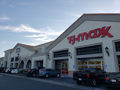
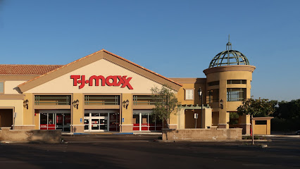
T.J. Maxx
4.2 km
Explore the fashion-forward and budget-friendly T.J. Maxx in Valencia, offering a diverse selection of clothing, accessories, and home goods.
Unusual Babe Undercover
4.4 km
Discover the eclectic range of unique lingerie styles at Unusual Babe Undercover, the must-visit boutique in Santa Clarita for fashion-forward tourists.

The Promenade
4.4 km
Experience a vibrant shopping and dining destination at The Promenade in Santa Clarita, where fun and flavor meet fashion.
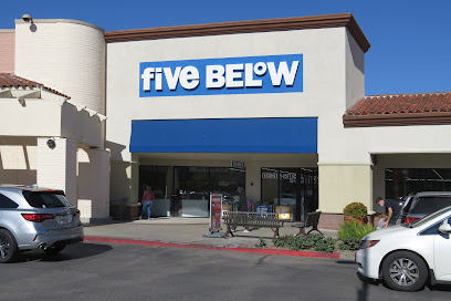
Five Below
4.6 km
Discover unbeatable deals on gifts, accessories, and toys at Five Below, the ultimate budget-friendly shopping destination in Santa Clarita.
River Oaks Shopping Center
4.8 km
Experience the best of shopping and dining at River Oaks Shopping Center in Santa Clarita, where every visit is a unique adventure.
Runway Fashion Exchange Valencia
5.0 km
Uncover stylish second-hand clothing and accessories at Runway Fashion Exchange Valencia—a sustainable fashion hub for trendy finds.
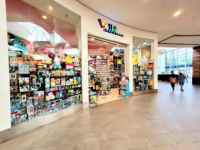
LOHO
5.0 km
Explore LOHO, a charming gift shop in Valencia, offering unique treasures and handcrafted items perfect for every occasion.
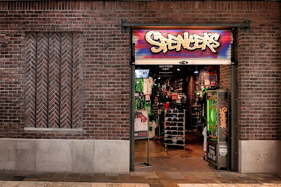
Spencer's Gifts
5.1 km
Explore Spencer's Gifts in Valencia for a whimsical shopping experience filled with unique gifts, clothing, and accessories that capture the spirit of fun.
Tokyo Japanese Lifestyle
5.1 km
Discover a treasure trove of Japanese culture at Tokyo Japanese Lifestyle, where anime meets tradition in Santa Clarita.

francesca's
5.1 km
Discover unique gifts and stylish women's fashion at Francesca's in Valencia, a boutique that brings together charm and contemporary style.

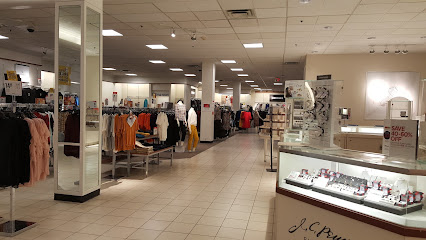
JCPenney
5.1 km
Experience a diverse shopping adventure at JCPenney in Santa Clarita, where fashion meets home decor in a vibrant atmosphere.
Essential bars & hidden hideouts
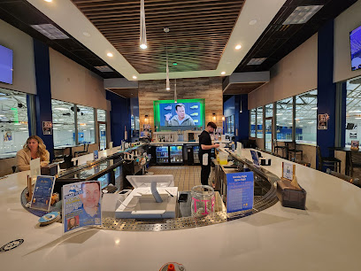
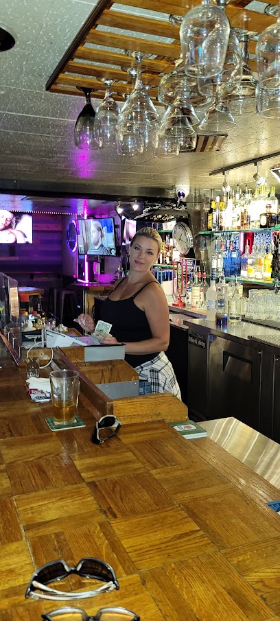
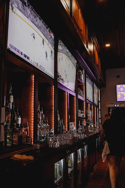
Full Throttle Sports Bar
2.2 km
Discover the vibrant Full Throttle Sports Bar in Valencia, where delicious American cuisine meets thrilling sports entertainment.
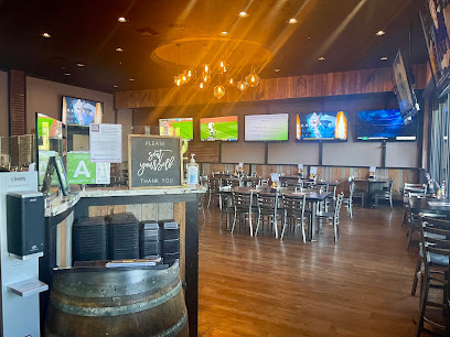
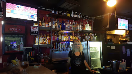
The Cube bar and grill
3.4 km
Discover the lively atmosphere and delicious offerings at The Cube Bar and Grill in Valencia, California, perfect for casual dining and socializing.
The LOCAL Pub & Grill
4.4 km
Experience the best of American cuisine at The LOCAL Pub & Grill, where comfort food meets a vibrant atmosphere in Valencia.
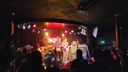
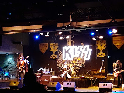
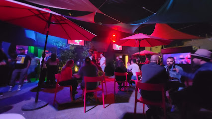
OLD PROFILE - The Canyon Club - Santa Clarita
5.2 km
Discover the excitement of live music and vibrant nightlife at The Canyon Club, Santa Clarita's premier night club destination.
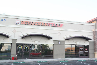
Schoonerville
6.1 km
Discover Schoonerville, a vibrant grill in Santa Clarita offering delicious meals and a welcoming atmosphere for food lovers.
Mabel's Roadhouse
6.1 km
Discover Mabel's Roadhouse in Saugus, where vibrant local culture meets affordable drinks, perfect for unwinding after a day of exploration.
Monty's Sports Bar & Grill
6.3 km
Discover the lively Monty's Sports Bar & Grill in Santa Clarita, where delicious food and sports unite for an unforgettable outing.
The Shot Exchange
6.8 km
Experience vibrant nightlife at The Shot Exchange, a cocktail bar in Santa Clarita known for its creative drinks and lively atmosphere.
Shooters Bar & Billiards / Mechanical Bull.
8.2 km
Enjoy delicious grill cuisine, thrilling billiards, and lively nightlife at Shooters Bar & Billiards in Santa Clarita.
Doc's Inn
8.5 km
Discover the vibrant nightlife at Doc's Inn, Santa Clarita's top cocktail bar and nightclub, serving up delicious drinks in a lively atmosphere.
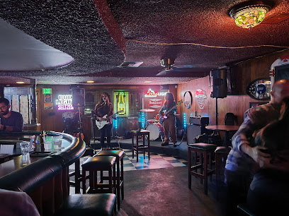
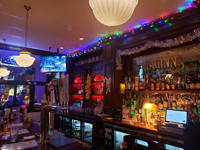
Maginns Pub
9.6 km
Experience the warmth of Irish hospitality at Maginn's Pub in Santa Clarita with authentic dishes, a lively atmosphere, and live music events.
Eighth & Rail
9.8 km
Experience the best of sports, food, and fun at Eighth & Rail, Newhall's top sports bar and pool hall for an unforgettable outing.
Marci's Sports Bar & Grill
9.8 km
Experience the thrill of sports with delicious cuisine at Marci's Sports Bar & Grill in Santa Clarita.
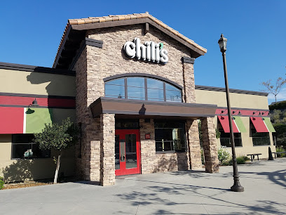
Chili's Grill & Bar
13.9 km
Experience the vibrant flavors of American and Tex-Mex cuisine at Chili's Grill & Bar, a must-visit dining spot in Santa Clarita.
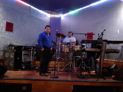
The POST Parlour
14.0 km
Experience the vibrant nightlife at The POST Parlour, Santa Clarita's hidden gem for drinks, live music, and unforgettable memories.
Nightclubs & after hour spots
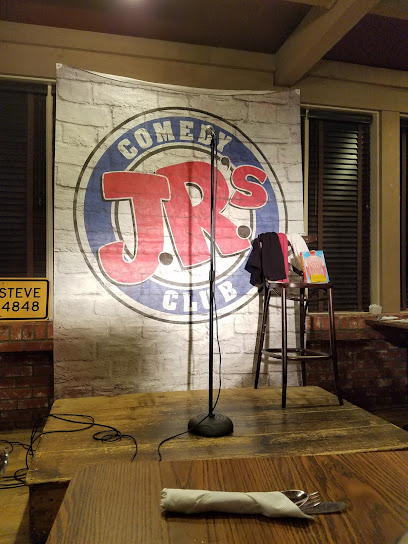
J.R.'s Comedy Club
4.9 km
Experience an unforgettable night of laughter at J.R.'s Comedy Club in Valencia, where talented comedians bring joy and entertainment in an intimate setting.
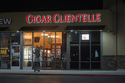
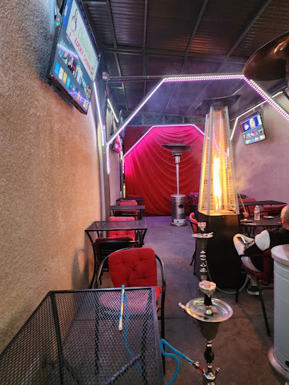
Cigar Clientelle
6.0 km
Discover the luxury of premium cigars at Cigar Clientelle, the ultimate lounge and shop in Santa Clarita, California.
Cube Restaurant
9.9 km
Discover a unique fusion of Middle Eastern flavors and a lively lounge atmosphere at Cube Restaurant in Canyon Country.
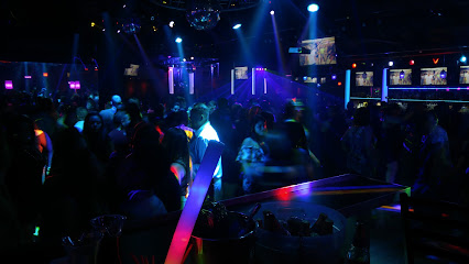
Vive Night Club
26.9 km
Experience the electrifying nightlife at Vive Night Club, where music, dance, and vibrant energy await in Canoga Park.
El Zorro Night Club
36.6 km
Discover the electrifying nightlife of North Hollywood at El Zorro Night Club, featuring great music, signature cocktails, and vibrant dance floors.
Club Cobra
37.0 km
Discover the pulsating nightlife of North Hollywood at Club Cobra, where unforgettable music and great vibes come together.
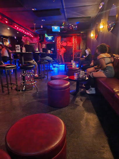
The Good Nite
37.2 km
Experience the ultimate night out at The Good Nite, where karaoke, comedy, and live music create unforgettable memories in North Hollywood.
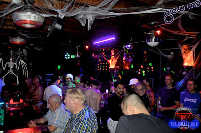
The Bullet Bar
37.5 km
Discover The Bullet Bar in North Hollywood, a vibrant gay bar and night club, where inclusivity meets electrifying nightlife.
Skinny's Lounge
37.9 km
Discover the lively atmosphere and creative cocktails at Skinny's Lounge, North Hollywood's premier night club for unforgettable nightlife.
Jim
42.6 km
Discover the electrifying nightlife at Jim Night Club in Beverly Hills, where unforgettable experiences and vibrant music await every visitor.

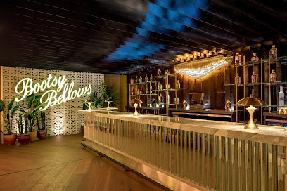
Bootsy Bellows
43.7 km
Discover the allure of Bootsy Bellows, a glamorous nightclub on Sunset Strip, where Hollywood nightlife meets unforgettable entertainment.
The Keys
43.8 km
Experience the vibrant nightlife at The Keys, a renowned night club on Sunset Strip in West Hollywood, where music and excitement come together.
Sunset at EDITION
43.9 km
Discover the vibrant nightlife at Sunset at EDITION, where exceptional cocktails, live music, and an electrifying atmosphere await you in West Hollywood.
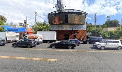
Ultimate Jam Night
44.0 km
Unleash your inner rockstar at Ultimate Jam Night, where spontaneous live music ignites the vibrant nightlife of West Hollywood.
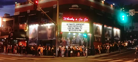
The Viper Room
44.1 km
Discover the electrifying atmosphere of the Viper Room, an iconic nightclub on Sunset Boulevard, where live music and celebrity sightings come alive.