Uncompahgre Peak, Uncompahgre Plateau Travel Guide
Conquer the highest peak in the San Juans for unparalleled panoramic views and a challenging fourteener experience in the Colorado Rockies.
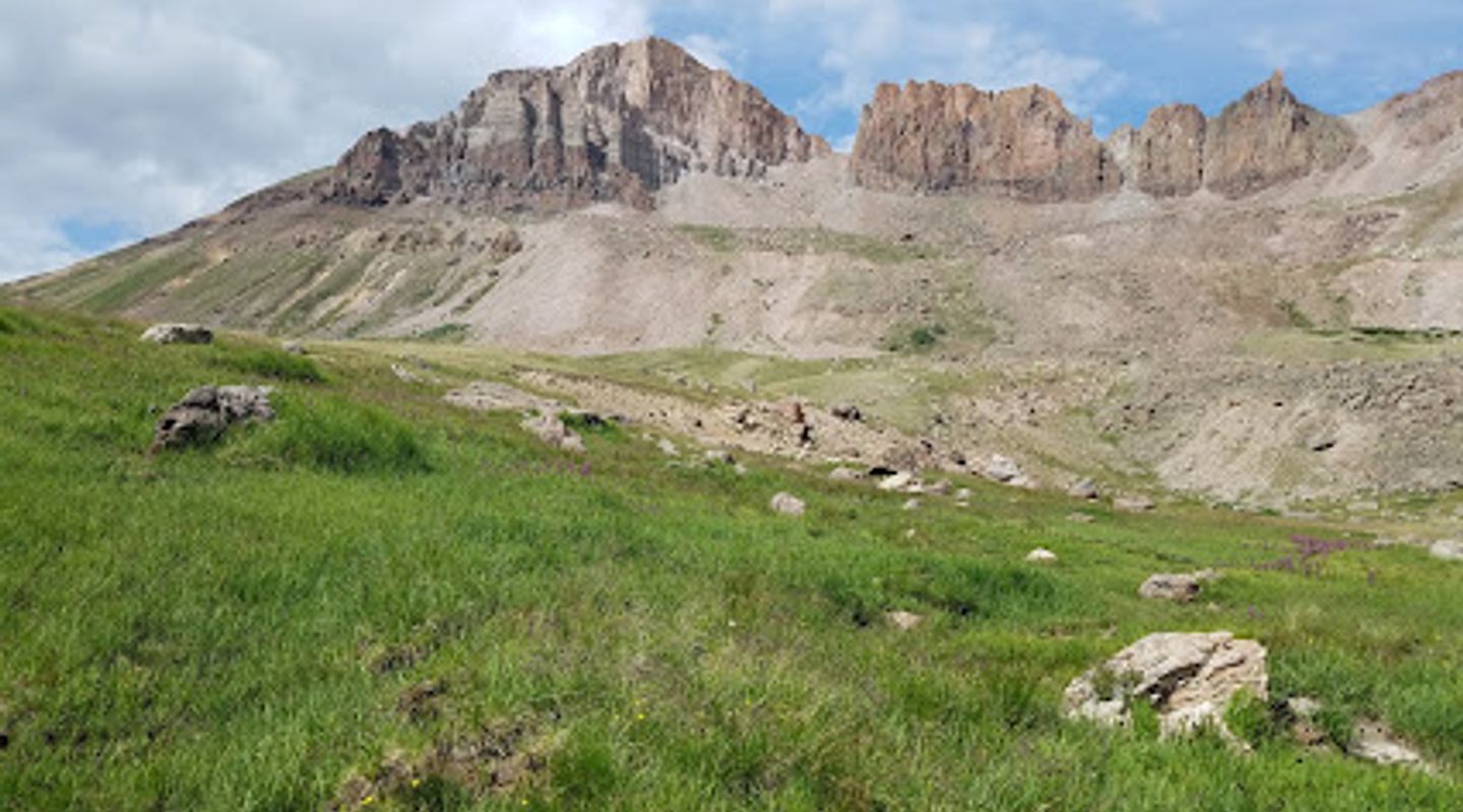
Uncompahgre Peak, the highest summit in the San Juan Mountains, offers a challenging yet rewarding climb with stunning panoramic views. Its unique shape and volcanic origins make it a standout among Colorado's fourteeners.
A brief summary to Uncompahgre Peak
- Colorado, US

Know before you go
Hi, I'm Eve. Here are a few practical things to know before exploring Uncompahgre Peak.
- Acclimatize to the altitude before attempting the climb to avoid altitude sickness. Spend a night or two in Lake City or a nearby town.
- Start your hike early in the morning to avoid afternoon thunderstorms, which are common in the Rockies.
- Bring plenty of water and snacks, as there are no water sources along the trail.
- Wear sturdy hiking boots and be prepared for varied weather conditions, including sun, wind, and rain.
- If driving to the Nellie Creek Trailhead, ensure your vehicle has high clearance and 4WD due to the rough road conditions.
Do you manage this location?
Take control to get all the benefits, like improved information, better appearance, and stronger visibility across AI-powered discovery. Learn more about listing your business on Evendo
Activate your presenceOther nearby places you may find interesting
The closest places of the same kind, if this one is not quite what you had in mind.
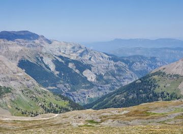
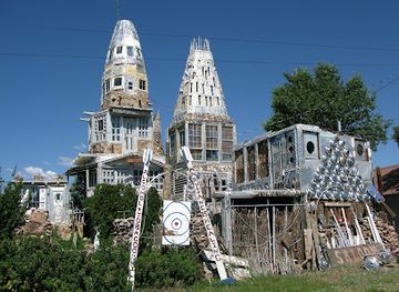
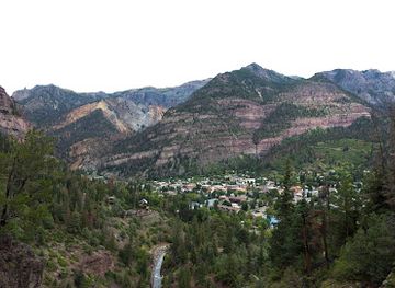
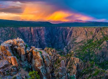
Explore Uncompahgre Peak on the Map
A handpicked selection of must-see spots near Uncompahgre Peak, mapped for you.
Getting There
-
Driving
From Lake City, drive west on Second Street, which becomes Bluff Street and then Henson Creek Road/Alpine Loop Scenic Byway. Continue for 5 miles to the Nellie Creek Road sign. Turn right onto Nellie Creek Road (FR877), a rough 4WD road. If you don't have a high-clearance 4WD vehicle, park here. Otherwise, drive 4 miles up Nellie Creek Road to the Nellie Creek Trailhead. Parking at either trailhead is free. Be aware that the Nellie Creek Road is narrow and rocky, with limited turnaround spots.
-
Walking
If parking at the junction of Henson Creek Road and Nellie Creek Road, hike 4 miles up the rough Nellie Creek Road to the trailhead. This adds 8 miles round trip and approximately 2,115 feet of elevation gain to your hike. From the trailhead, follow the well-maintained trail. The trail ascends through meadows and spruce-fir forest, eventually leading to switchbacks up the mountain's south ridge. The final section involves a short, steep scramble to the summit.
Discover more about Uncompahgre Peak













Your all‑in‑one travel companion app
Explore expert travel guides, compare and book tours, experiences, hotels, and more—all from the palm of your hand. Download now for seamless trip planning wherever your wanderlust takes you.


Explore More of Uncompahgre Plateau
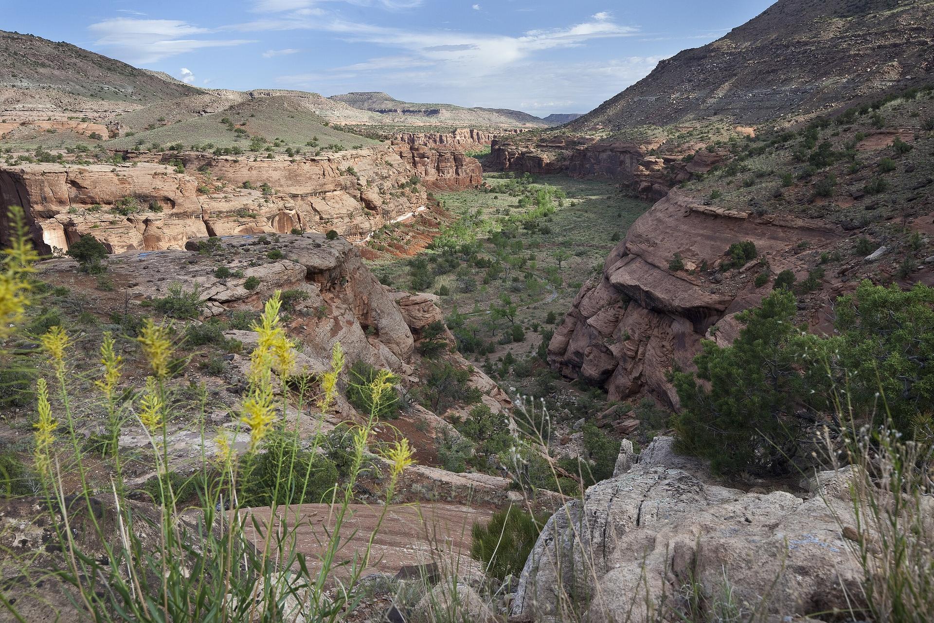
Looking beyond Uncompahgre Peak? Discover Uncompahgre Plateau for broader travel guides, local hot-spots, and regional highlights.
Explore Uncompahgre Plateau