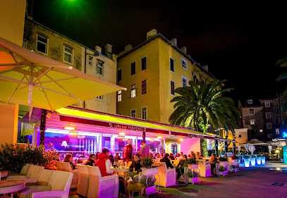
Discover the Reljefni Prikaz in Split: A Unique Perspective of the City
Explore the stunning three-dimensional relief map of Split, a captivating insight into the city's geography and architecture, perfect for all tourists.
The Reljefni Prikaz in Split offers a stunning three-dimensional relief map of the city, providing tourists with a unique way to appreciate the geography and architecture of this historic destination. This fascinating attraction is ideal for those wishing to understand the layout of Split, its landmarks, and the surrounding landscapes, making it a must-visit for both first-time and returning visitors.
A brief summary to Reljefni prikaz grada Splita
- Obala Lazareta, Split, 21000, HR
Local tips
- Visit early in the day to avoid crowds and get the best views of the relief map.
- Bring a camera to capture the intricate details of the map, as it makes for great photos.
- Consider combining your visit to the Reljefni Prikaz with a walking tour of the nearby attractions.
Getting There
-
Walking
Start at the famous Riva promenade in Split. From the Riva, head east towards the harbor. You will see the large green area of the Marjan Hill in front of you. Continue walking along the waterfront until you reach the street called Obala Lazareta. The Reljefni prikaz grada Splita is located directly along this street, close to the water's edge. Look for a small monument depicting a relief map of the city of Split.
-
Public Transport (Bus)
If you are at the Split bus station or nearby, you can take bus number 5 or 15 towards the city center. Get off at the stop called 'Trg Republike' (Republic Square). From there, walk towards the Riva promenade and follow the waterfront east until you reach Obala Lazareta. The Reljefni prikaz grada Splita will be along this street. It's a short walk from the bus stop.
-
Walking from Diocletian's Palace
If you are visiting Diocletian's Palace, exit through the Silver Gate and head towards the Riva promenade. Once at the Riva, turn left (south) and walk along the waterfront for about 10 minutes. Keep an eye out for Obala Lazareta, and you will find the Reljefni prikaz grada Splita on this street. It’s a scenic walk with beautiful views of the harbor.
Discover more about Reljefni prikaz grada Splita
Iconic landmarks you can’t miss
Reljefni prikaz grada Splita
0.0 km
Explore the stunning three-dimensional relief map of Split, a captivating insight into the city's geography and architecture, perfect for all tourists.
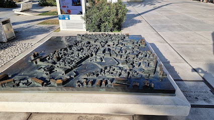
Obala Hrvatskog narodnog preporoda 23
0.0 km
Discover the vibrant atmosphere and stunning views of Split's historic waterfront at Obala Hrvatskog narodnog preporoda, a must-visit destination for tourists.
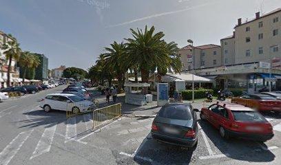
Split Food Tour
0.1 km
Explore the culinary treasures of Split with the Split Food Tour, a delightful journey through local flavors and traditions.
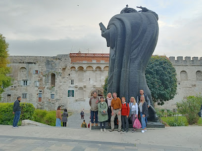
Jugoistočni toranj Dioklecijanove palače
0.1 km
Discover the rich history and breathtaking views at the Eastern Tower of Diocletian's Palace in Split, a must-see historical landmark.
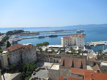
Peristil
0.1 km
Explore Peristil, the historical heart of Diocletian's Palace in Split, where ancient Roman architecture meets vibrant cultural experiences.
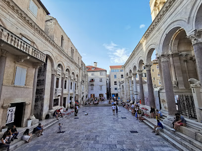
Marko Marulic Statue
0.1 km
Explore the rich literary heritage of Croatia at the iconic Marko Marulic Statue, a cultural gem in the heart of Split.
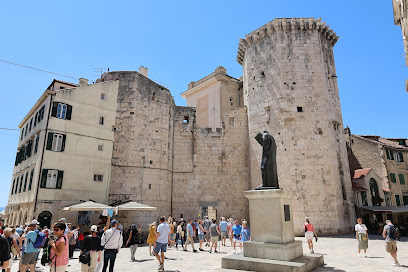
Palača Milesi
0.1 km
Explore the regal Palača Milesi, a remarkable castle in Split that showcases rich history and stunning Renaissance architecture.
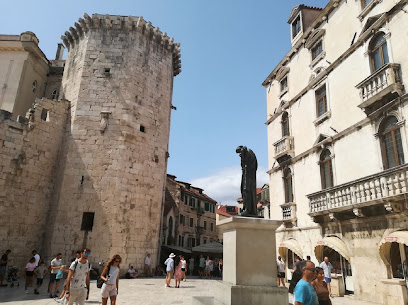
Palača Cindro
0.1 km
Explore the rich cultural heritage and exquisite architecture of Palača Cindro, Split's historical gem and captivating museum.
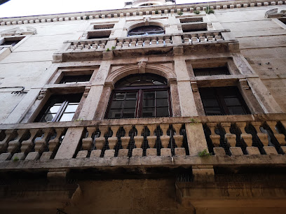
Radić Brothers Square (Fruit Square)
0.1 km
Discover the heart of Split at Radić Brothers Square, a lively historical landmark brimming with culture, cafes, and captivating architecture.
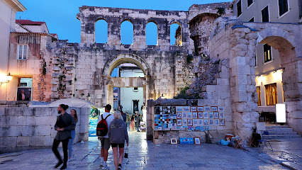
Venetian Tower
0.1 km
Explore the Venetian Tower in Split, a historical landmark that encapsulates the allure of ancient architecture and vibrant local culture.
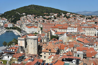
Antique Split Luxury Rooms
0.1 km
Experience the charm of Split at Antique Split Luxury Rooms, where elegance meets history in the heart of Croatia's stunning coastal city.

Ilirio's Hvar Tours
0.1 km
Discover the enchanting beauty of the Adriatic Sea with Ilirio's Hvar Tours, offering personalized boat adventures and stunning views in Split, Croatia.
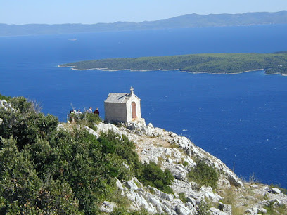
The Iron Gate Palace Marker
0.1 km
Explore the Iron Gate Palace Marker, a historical gem in Split that reveals the city's rich heritage and stunning architectural beauty.
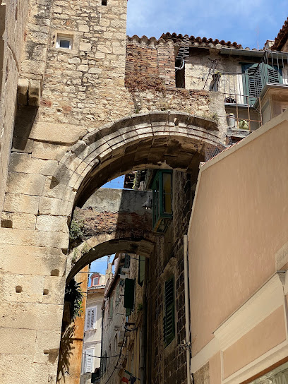
Silver Gate
0.1 km
Discover the Silver Gate in Split, a historical marvel that connects you to the ancient Roman Empire and the vibrant culture of modern Croatia.
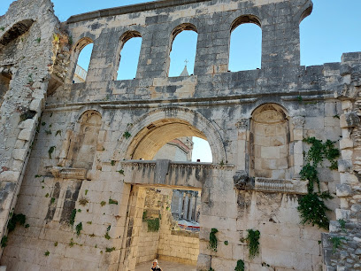
Iron Gate
0.1 km
Explore the Iron Gate, a majestic historical landmark in Split that offers a glimpse into the city's rich Roman heritage and vibrant culture.
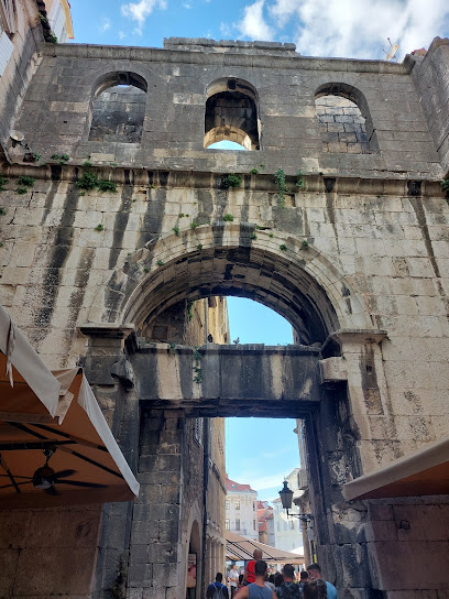
Unmissable attractions to see
Brass Gate
0.0 km
Explore the iconic Brass Gate, a historical landmark in Split, reflecting the grandeur of the Roman Empire and the vibrant culture of Croatia.
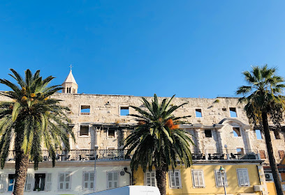
Split Adventure
0.0 km
Discover the stunning outdoor adventures that Split has to offer, from thrilling water sports to scenic hiking tours in Croatia's breathtaking landscapes.

Hello Blue Cave - Boat Tours
0.0 km
Experience the breathtaking beauty of the Blue Cave and nearby islands with Hello Blue Cave - Boat Tours in Split, Croatia, for an unforgettable adventure on the Adriatic Sea.
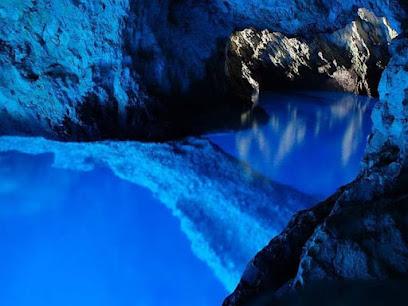
Diocletian's Cellars
0.0 km
Discover the mesmerizing Diocletian's Cellars in Split, Croatia, where ancient Roman history comes alive within the majestic substructures of Diocletian's Palace.
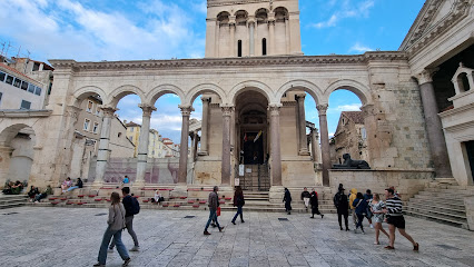
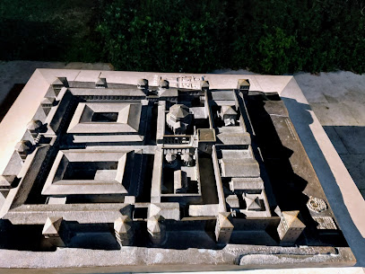
Model of Palace
0.0 km
Discover the intricate artistry and historical significance of the Model of Palace in Split, Croatia—an unmissable attraction for culture and history enthusiasts.
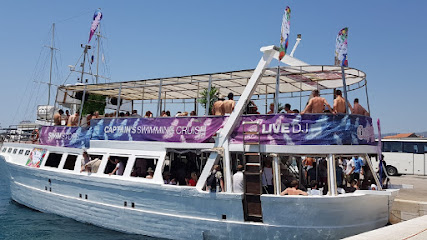
Captain's Boat Party Split
0.0 km
Discover the stunning Adriatic Sea with Captain's Boat Party in Split, offering unforgettable boat tours filled with adventure, relaxation, and scenic beauty.
Split Ethnographic Museum
0.1 km
Explore the rich cultural heritage of Split at the Ethnographic Museum, where history and tradition come alive through captivating exhibits.
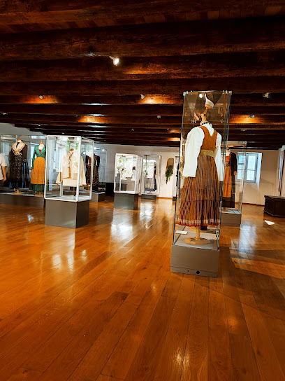
Triklinij
0.1 km
Discover the grandeur of Triklinij, a historical landmark in Split, Croatia, reflecting the city’s rich Roman heritage and architectural beauty.
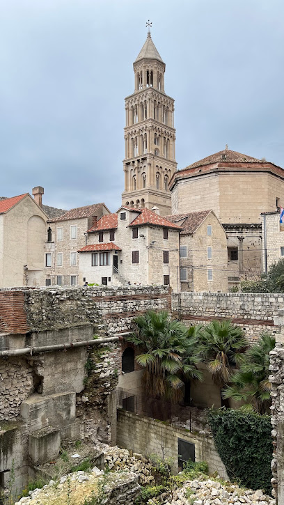
Day Sailing Split Croatia
0.1 km
Explore the breathtaking Adriatic coast with a day sailing experience in Split, Croatia, perfect for adventurers and relaxation seekers alike.

Vestibul
0.1 km
Experience the grandeur of the Vestibul, a historical landmark in Split that showcases the exquisite Roman architecture and rich cultural heritage of Croatia.
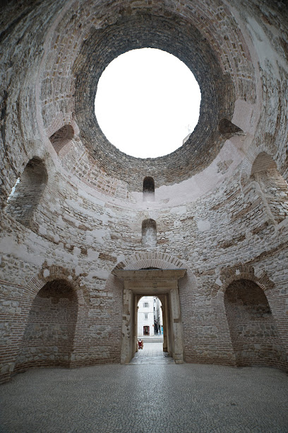
Flarent
0.1 km
Explore Split's rich history and stunning landscapes with Flarent, your premier transportation and tour agency in Croatia.

Murene til Diocletianus-paladset
0.1 km
Explore the historical marvel of Murene at Diocletian's Palace in Split, a UNESCO World Heritage Site rich in Roman architecture and culture.

Vomitorium
0.1 km
Discover the Vomitorium, a historical treasure in Split, Croatia, showcasing the grandeur of ancient Roman architecture and culture.
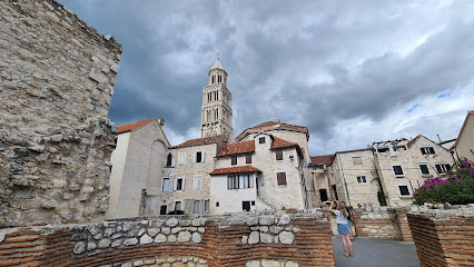
Obala Hrvatskog narodnog preporoda
0.1 km
Discover the historic charm of Obala Hrvatskog Narodnog Preporoda, a scenic promenade in Split perfect for leisurely strolls and cultural immersion.

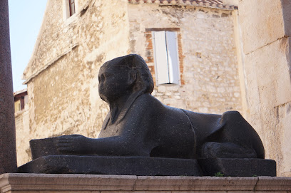
Sphinx
0.1 km
Explore the Sphinx in Split, a breathtaking historical landmark showcasing ancient artistry amidst Croatia's vibrant culture.
Essential places to dine
Temple Kitchen seafood & steak
0.1 km
Experience exquisite seafood and steak at Temple Kitchen in Split - where Mediterranean flavors meet Croatian hospitality.
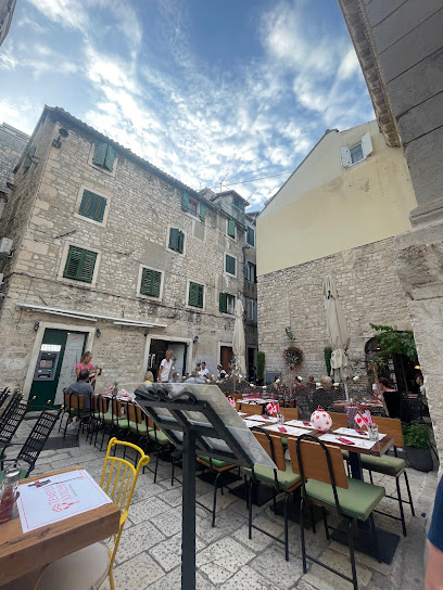
Restoran Para di šoto, Split
0.1 km
Discover exquisite Mediterranean dining at Restoran Para di šoto in Split - a true culinary gem offering fresh ingredients and vibrant flavors.
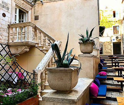
Konoba Laganini
0.1 km
Experience authentic Croatian cuisine at Konoba Laganini in Split - where local flavors meet inviting ambiance.

Konoba "Kod sfinge vaneuropske zviri"
0.1 km
Experience authentic Dalmatian cuisine at Konoba 'Kod sfinge vaneuropske zviri', perfect for families seeking delicious meals in Split.
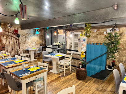
Café & Restaurant Lvxor Split
0.1 km
Experience vibrant dining at Café & Restaurant Lvxor in Split - where culinary delights meet live music and lively atmosphere.
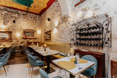
To Je Tako Mexican Restaurant
0.1 km
Experience authentic Mexican cuisine at To Je Tako in Split – where vibrant flavors meet warm hospitality.
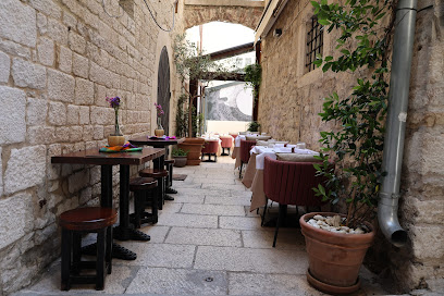
Zinfandel Food & Wine bar
0.1 km
Discover Zinfandel Food & Wine Bar: Where exquisite wines meet gourmet cuisine in the heart of Split.
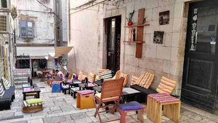
Makarun Split
0.1 km
Experience the best of Croatian cuisine at Makarun Split – where tradition meets modern dining in an unforgettable atmosphere.
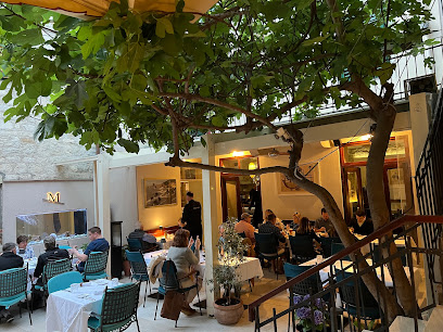
Fig Split
0.1 km
Experience modern Croatian cuisine at Fig Split – where local flavors meet innovative culinary artistry in an inviting atmosphere.
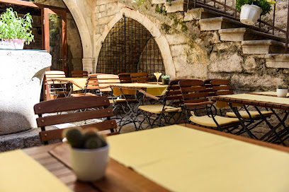
Mazzgoon
0.2 km
Discover Mazzgoon: A culinary haven in Split offering exquisite seafood, gourmet burgers, and delightful brunch options for all food lovers.
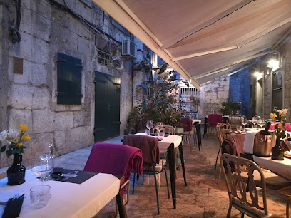
Konoba Korta
0.2 km
Discover health-conscious dining at Konoba Korta in Split, offering fresh seafood and meat dishes that celebrate local flavors.
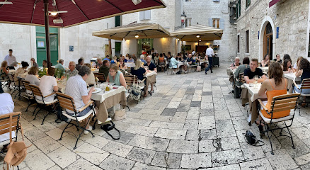
Portofino
0.2 km
Discover Portofino in Split - where Mediterranean flavors meet exceptional service in a picturesque setting.
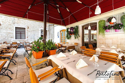
Apetit
0.2 km
Experience authentic Mediterranean cuisine at Apetit in Split, where fresh local ingredients meet warm hospitality for an unforgettable dining experience.
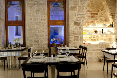
Uje Restaurant
0.2 km
Experience authentic Croatian cuisine at Uje Restaurant in Split—savor fresh seafood and local flavors in a charming setting.
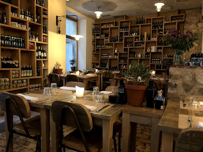
Galerija Bar Food
0.2 km
Savor authentic Croatian cuisine at Galerija Bar Food in Split - a culinary gem offering fresh flavors and a vibrant atmosphere.
Markets, malls and hidden boutiques
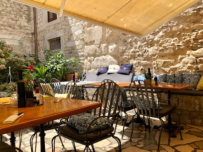
GET MORE artisan craft souvenir shop
0.1 km
Discover handcrafted souvenirs that embody Croatian culture at GET MORE artisan craft shop in Split, where every piece tells a story.
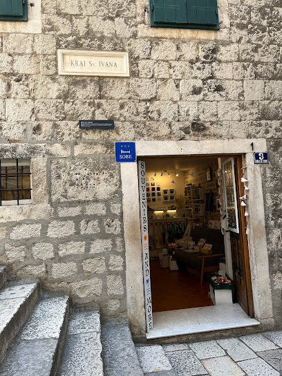
CRO Corner
0.1 km
Discover unique Croatian souvenirs at CRO Corner, a charming gift shop in Split offering handcrafted treasures that capture the essence of Croatia.
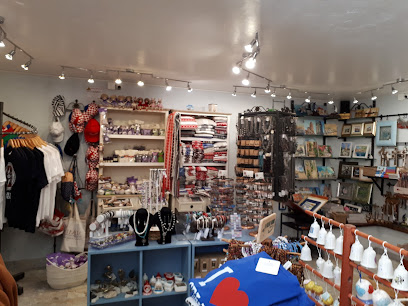
ForGas Butiga
0.1 km
Discover the artistic heartbeat of Split at ForGas Butiga, where local creativity meets unique souvenirs in a vibrant gallery setting.
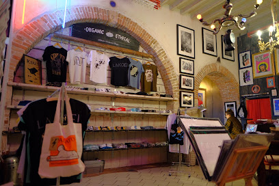
Magnet joli
0.1 km
Explore Magnet Joli in Split for unique gifts and authentic Croatian souvenirs that reflect the rich culture and artistry of the region.
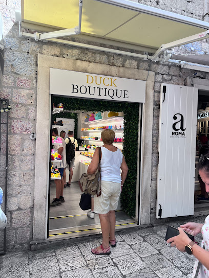
Duck Boutique Split
0.1 km
Explore Duck Boutique Split for unique gifts and charming souvenirs that embody the spirit of Croatia.
Shop Souvenir
0.1 km
Discover the essence of Croatia at Shop Souvenir in Split, where local craftsmanship meets unique keepsakes for every traveler.
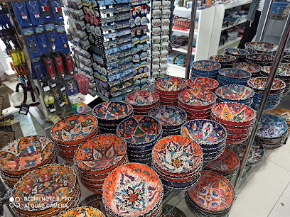
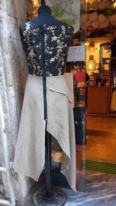
Designer Store KRUG
0.2 km
Explore luxury fashion at Designer Store KRUG in Split, where unique designs meet impeccable quality for an unforgettable shopping experience.
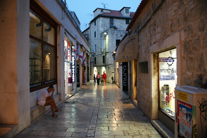
Dream Factory Shop
0.2 km
Explore unique clothing and accessories at Dream Factory Shop, a must-visit fashion destination in the heart of Split, Croatia.
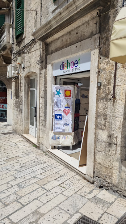
Dishpet Souvenir and Gift Shop
0.2 km
Explore the exquisite Dishpet Souvenir and Gift Shop in Split for unique Croatian gifts that capture your travel memories.
Duck Boutique
0.2 km
Discover unique gifts and local crafts at Duck Boutique in Split, the perfect stop for souvenirs that capture the essence of Croatia.
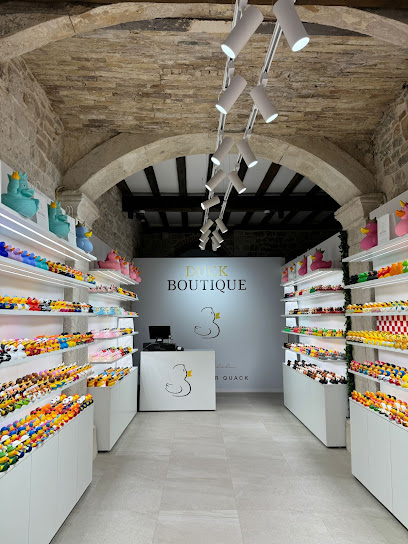
Green Market
0.2 km
Discover the rich flavors and vibrant culture of Split at the Green Market, where local produce meets unique artisan crafts.
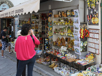
Otkrij Hrvatsku
0.2 km
Explore Otkrij Hrvatsku for unique souvenirs and authentic Croatian crafts that encapsulate the spirit of Split and its rich cultural heritage.
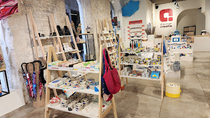
MORE Eco Souvenir Shop
0.2 km
Discover eco-friendly treasures at MORE Eco Souvenir Shop in Split, where every purchase supports local artisans and sustainable practices.
Christmas Shop Split
0.2 km
Explore the enchanting Christmas Shop in Split, where festive decorations and unique gifts create a magical holiday experience.

EIE VINTAGE
0.2 km
Explore EIE Vintage in Split for unique, eco-friendly clothing that captures the essence of timeless fashion and sustainable style.

Essential bars & hidden hideouts
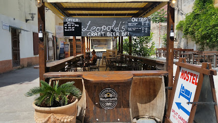
Leopold's Delicatessen Bar
0.1 km
Discover the vibrant flavors of Croatia at Leopold's Delicatessen Bar, a perfect blend of tradition and modernity in the heart of Split.
Pun Kufer Cocktail Bar
0.1 km
Experience the vibrant nightlife of Split at Pun Kufer Cocktail Bar - where quirky decor meets expertly crafted cocktails for an unforgettable evening.
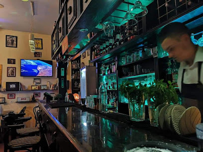
NOOR Fine Spirits & Cocktails
0.1 km
Experience the finest cocktails and vibrant nightlife at NOOR Fine Spirits & Cocktails in Split, Croatia.

Marvlvs Library Jazz Bar
0.2 km
Experience the magic of live jazz and fine wines at Marvlvs Library Jazz Bar in the heart of Split, Croatia.
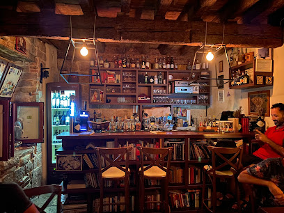
The Daltonist
0.2 km
Experience the vibrant culinary scene at The Daltonist, a bar and restaurant in Split offering breakfast, brunch, and exquisite tapas in a lively atmosphere.
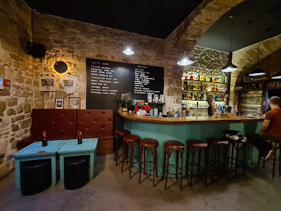
Caffe bar La Linea
0.2 km
Experience the charm of Split at Caffe Bar La Linea, where delightful drinks and a cozy atmosphere await every traveler.
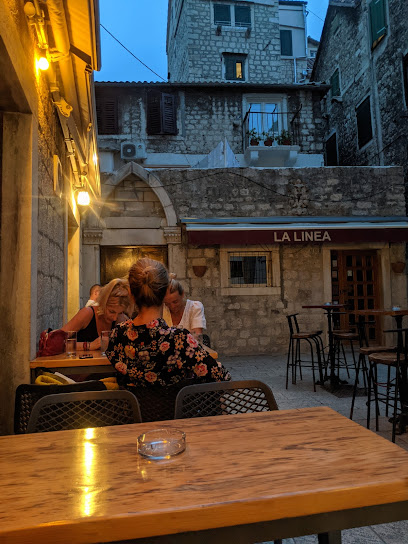
ShotGun Shooters Bar
0.2 km
Dive into the energetic nightlife of Split at ShotGun Shooters Bar, where cocktails and camaraderie meet in a lively atmosphere.
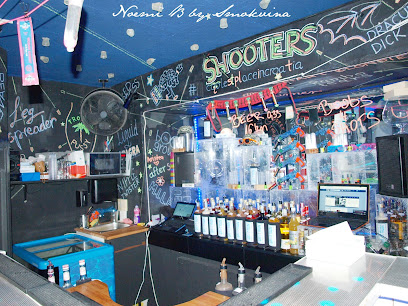
Rodrigo
0.2 km
Discover Rodrigo, a cozy bar in Split offering an extensive drink selection and a vibrant atmosphere perfect for relaxation and socializing.
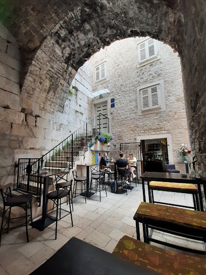
Charlie's Bar
0.2 km
Experience the local charm and vibrant atmosphere at Charlie's Bar in Split, where great drinks and friendly faces await.
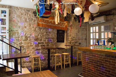
Antique Bar
0.2 km
Discover the charm of Antique Bar in Split, where vintage ambiance meets a vibrant selection of drinks and local culture.

Caffe bar Drama
0.2 km
Experience the vibrant nightlife of Split at Caffe Bar Drama, where delicious drinks and a lively atmosphere await every visitor.
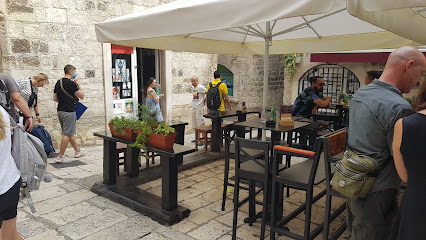
Art Gallery Cafe Music Bar Split
0.3 km
Discover the vibrant fusion of art, grill cuisine, and live music at the Art Gallery Cafe Music Bar in Split, a cultural gem for every traveler.
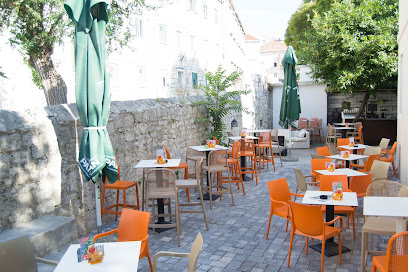
STRING’S BAR
0.4 km
Discover the vibrant atmosphere and unique cocktails at String’s Bar, the ultimate cocktail destination in the heart of Split.

Fabrique Pub
0.4 km
Discover Fabrique Pub in Split – a lively venue offering delicious food, refreshing drinks, and a vibrant atmosphere for all travelers.
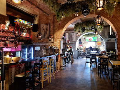
Paradiso cocktail bar
0.4 km
Discover the vibrant nightlife of Split at Paradiso Cocktail Bar, where expertly crafted cocktails and a lively atmosphere await every visitor.
