
The Mystical Witches Finger Trail: A Hiker's Dream
Explore the enchanting Witches Finger Trail in the Faroe Islands, a hiker's paradise filled with stunning views and rich folklore.
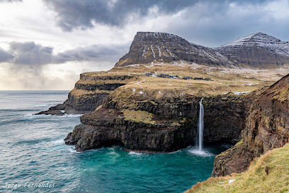
Embark on an unforgettable hiking adventure along the Witches Finger Trail in the Faroe Islands. This captivating route offers breathtaking views, rich folklore, and a chance to experience the unique beauty of nature in one of the world's most stunning landscapes.
A brief summary to Witches Finger Trail
- 3V23+6VR, Witches finger, Sandavágur, FO
- Visit website
Local tips
- Wear sturdy hiking boots as the trail can be rocky and uneven.
- Bring a camera to capture the breathtaking vistas and unique rock formations.
- Check the weather forecast before your hike, as conditions can change rapidly in the Faroe Islands.
- Plan to start your hike early in the day to avoid crowds and fully enjoy the tranquility.
- Consider visiting in late spring or early autumn for the best weather and stunning seasonal colors.
Getting There
-
Car
From Húsavík, head southwest on Route 62 towards the town of Sandavágur. Follow Route 62 for approximately 42 km until you reach Sandavágur. Upon entering the town, look for signs directing you towards Witches Finger (Troellkonufingur). The trailhead is located at the coordinates 62.050616, -7.1453528. Make sure to park your car in designated areas to avoid fines.
-
Public Transportation
If you prefer public transportation, check the local bus schedules from Húsavík to Sandavágur. You may need to transfer at Tórshavn, as direct buses may not be available. Once you arrive in Sandavágur, you can either walk to the trailhead (about a 30-minute walk) or take a taxi to the coordinates 62.050616, -7.1453528. Be sure to check the bus times for your return trip.
-
Taxi
For a more direct route, consider taking a taxi from Húsavík to Witches Finger Trail. The journey will take about 45 minutes, and you can expect to pay around 800-1200 DKK for the ride, depending on the taxi service. Confirm the price with the driver before starting your journey.
Discover more about Witches Finger Trail
Iconic landmarks you can’t miss
Fiskastykkið // Úti á Gjógv
0.3 km
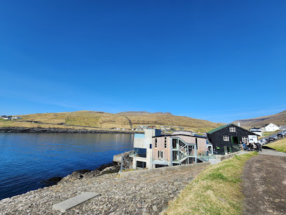
Discover the taste of the Faroe Islands at Fiskastykkið, a charming café in Sandavágur offering local flavors and stunning views.
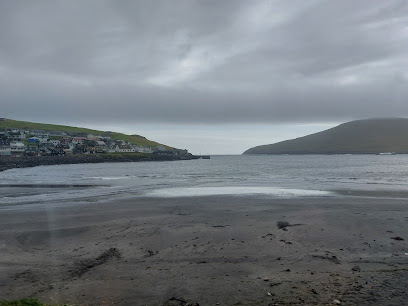
Sandavágs Bay
0.5 km
Experience the natural beauty and tranquility of Sandavágs Bay, a hidden gem in the heart of the Faroe Islands, perfect for nature lovers and adventurers.
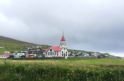
Sandavágs kirkja
0.5 km
Experience the tranquility and architectural beauty of Sandavágs Kirkja, a stunning Lutheran church in the heart of the Faroe Islands.
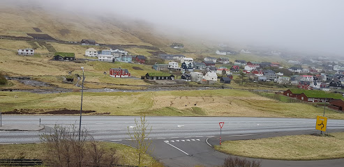
Løgmansgarður
0.6 km
Explore Løgmansgarður, a historical site in Sandavágur, showcasing the rich heritage and breathtaking landscapes of the Faroe Islands.
Giljanes
1.0 km
Explore Giljanes, a serene school in Sandavágur, Faroe Islands, surrounded by stunning landscapes and rich cultural experiences.

Giljanes Hostel & Campsite
1.0 km
Experience the breathtaking beauty and adventure of the Faroe Islands at Giljanes Hostel & Campsite, your cozy home away from home.

Sandavagur Bus Stop
1.1 km
Discover the Faroe Islands from Sandavagur Bus Stop, your essential transport hub for exploring stunning landscapes and vibrant local culture.

Magenta Guesthouse
2.0 km
Discover the breathtaking beauty and warm hospitality of Magenta Guesthouse in the heart of the Faroe Islands, your perfect base for adventure.
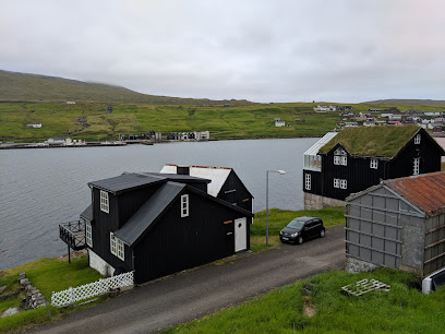
Kristjanshavn
2.1 km
Discover Kristjanshavn, a peaceful hotel in Miðvágur offering a gateway to the stunning landscapes and rich culture of the Faroe Islands.
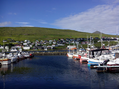
Magn Miðvágur
2.5 km
Discover the beauty of the Faroe Islands with a convenient stop at Magn Miðvágur, your essential gas station and travel hub.
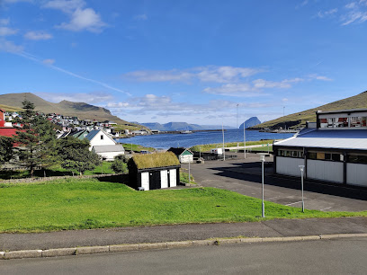
Standbeeld Mikkjal á Ryggi
2.5 km
Explore the Mikkjal á Ryggi Statue in Sandavágur, a historical landmark celebrating Faroese heritage amidst breathtaking landscapes.
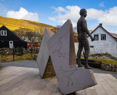
Viðarlundin á Tungu
2.6 km
Explore the serene beauty of Viđarlundin á Tungu, a stunning park in Sandavágur, Faroe Islands, perfect for relaxation and nature exploration.
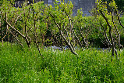
Miðvágs kirkja
2.6 km
Discover the serene beauty of Miðvágur's Lutheran Church, a peaceful retreat amidst the stunning landscapes of the Faroe Islands.
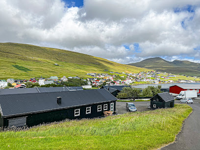
Smiðjan
2.8 km
Experience the flavors of the Faroe Islands at Smiðjan, a local restaurant blending tradition with stunning views.

Unmissable attractions to see
Trøllkonufingur Viewpoint
1.2 km
Discover the breathtaking vistas of Trøllkonufingur Viewpoint, a serene escape in the stunning Faroe Islands, perfect for nature lovers and photographers.
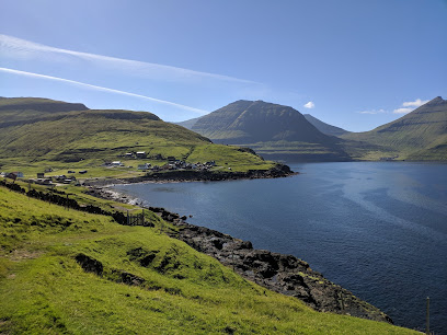
Klovningur
1.2 km
Discover Klovningur, a mesmerizing Faroe Islands landmark with dramatic cliffs, lush landscapes, and panoramic ocean views near Sandavágur.
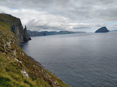
KÁLVALÍÐ
2.3 km
Discover Faroese heritage at KÁLVALÍÐ museum in Miðvágur, exploring local history, traditions, and the captivating stories of the Faroe Islands.
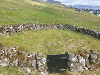
Trøllkonufingur
3.0 km
Hike to the iconic Trøllkonufingur on Vágar Island and witness the legendary 'Troll Woman's Finger,' a stunning rock formation steeped in Faroese folklore.
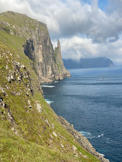
Slave Cliff (Lake Above the Ocean)
3.0 km
Explore Slave Cliff in the Faroe Islands for breathtaking views and unforgettable hiking experiences in a stunning natural setting.
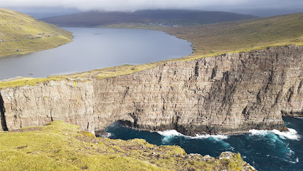
Sørvágsvatn
4.7 km
Discover Sørvágsvatn, the breathtaking 'floating lake' of the Faroe Islands, where nature's beauty meets stunning optical illusions.
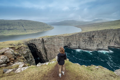
Trælanípa
5.5 km
Discover the breathtaking cliffs of Trælanípa in the Faroe Islands, a stunning tourist attraction offering unparalleled natural beauty and serene landscapes.
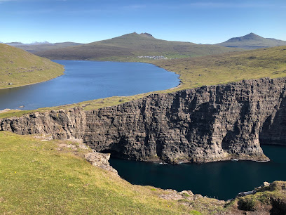
Bøsdalafossur Waterfall
5.7 km
Witness the breathtaking Bøsdalafossur Waterfall where a lake dramatically plunges into the Atlantic Ocean on the Faroe Islands.
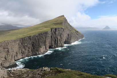
The Nix
6.2 km
Discover the captivating Nix sculpture on the Faroe Islands, where art, nature, and folklore intertwine along the scenic Sørvágsvatn lake.
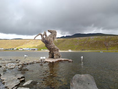
Krígssavnið
7.3 km
Explore Faroese resilience during WWII at this immersive museum in Sørvágur, featuring personal stories and wartime artifacts.

Faroe Islands War Museum
7.3 km
Explore the untold story of the Faroe Islands during WWII at this immersive historical museum in Sørvágur.

Village Museum Sørvágur
8.9 km
Step back in time at Sørvágur Village Museum and discover the captivating history and traditions of the Faroe Islands in a picturesque setting.
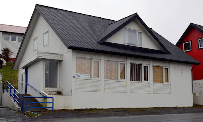
Puffin Safari Boat Tours
9.4 km
Experience the magic of Faroe Islands' puffins on an unforgettable boat tour departing from Sørvágur, with stunning views and expert guidance.
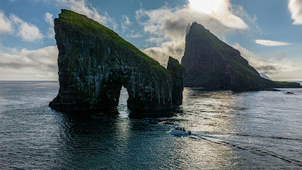
Dunnesdrangar
9.5 km
Hike to the iconic Dunnesdrangar sea stacks on Vágar Island for breathtaking views of the Faroe Islands' rugged coastline.
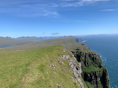
Koltur
10.0 km
Discover Koltur: An uninhabited Faroese island with Viking history, stunning landscapes, and unique wildlife, now a protected national park.
Essential places to dine
Asian Food Restaurant
2.0 km
Experience authentic Asian flavors in Miðvágur's hidden culinary gem amidst stunning Faroese landscapes.

Fish an Chips
2.3 km
Experience authentic fast food at Fish and Chips in Sandavágur—where fresh ingredients meet stunning island views.

Faroe Fish Dinner
3.3 km
Experience authentic Faroese cuisine with delicious seafood dishes at Faroe Fish Dinner in Miðvágur.

Café Zorva
7.4 km
Experience authentic Faroese cuisine at Café Zorva in Sørvágur – where every dish tells a story.

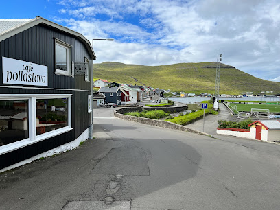
Resturant Cafe Pollastova
8.8 km
Discover authentic Faroese cuisine at Restaurant Café Pollastova in Sørvágur – where every meal comes with breathtaking views.
Magnstøðin í Vestmanna
11.4 km
Discover Magnstøðin í Vestmanna: A unique gas station offering delicious bakery treats, fast food delights, and refreshing ice cream in the heart of the Faroe Islands.

Koks Restaurant
11.5 km
Experience exquisite Nordic cuisine at Koks Restaurant in the breathtaking Faroe Islands - a culinary journey like no other.

Markets, malls and hidden boutiques
Bartalstova
0.4 km
Discover local flavors and essentials at Bartalstova, a charming grocery store in the heart of Sandavágur, Faroe Islands.

Húsfríðkan
0.4 km
Explore creativity at Húsfríðkan, Sandavágur's beloved yarn and paint store, where artistry flourishes in the heart of the Faroe Islands.

Tattoo Culture
0.6 km
Experience the vibrant tattoo culture in the Faroe Islands at Tattoo Culture, where artistry meets individuality in a stunning coastal setting.

Tatink tattoo
0.7 km
Discover the unique artistry of Tatink Tattoo in Sandavágur, where each tattoo tells a story reflecting your Faroe Islands adventure.

Sorella Miðvágur
2.0 km
Discover Sorella Miðvágur, a charming boutique in the Faroe Islands offering unique women's clothing, beauty products, and local treasures.

Dávur’s TuneUp Shop
2.6 km
Discover the essential rest stop at Dávur’s TuneUp Shop in Miðvágur, offering clean facilities for travelers exploring the stunning Faroe Islands.

Bónus
3.0 km
Discover the best local and international flavors at Bónus in Sandavágur, a must-visit grocery store for every traveler in the Faroe Islands.

FK Super Market
3.3 km
Explore local flavors and essentials at FK Super Market in Miðvágur – your one-stop shop for Faroese treats and groceries.

Fiskarin - Vagabokhald.com
3.3 km
Explore the Faroe Islands with expert guidance and top-notch gear from Fiskarin, your go-to hunting and fishing store.
Rúsdrekkasøla Landsins - Miðvágur
3.3 km
Discover the finest selection of local beers and wines at Rúsdrekkasøla Landsins in Miðvágur, a treasure trove of Faroese spirits.

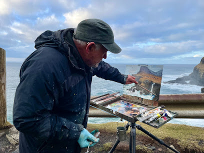
Paint the Faroe Islands
6.0 km
Experience the vibrant art of the Faroe Islands at Paint the Faroe Islands, a unique gallery and studio that showcases stunning local creativity.
Duty Free Fae
7.2 km
Experience unparalleled shopping at Duty Free Fae in the Faroe Islands, where luxury meets local charm in a stunning setting.

KAFE FAE
7.2 km
Discover the flavors of the Faroe Islands at KAFE FAE, your perfect coffee stop in Sørvágur, offering warmth and local charm.

SVANHILD
8.2 km
Explore Svanhild in Kvívík for exclusive knitwear and fashion that embodies the spirit of the Faroe Islands.

prull.fo
8.3 km
Discover Prull.fo in Kvívík, your go-to playground equipment supplier and toy store for creating unforgettable outdoor play experiences in the Faroe Islands.

Essential bars & hidden hideouts
Hotel Vagar
7.6 km
Experience the perfect blend of comfort and Faroese charm at Hotel Vagar, your gateway to stunning landscapes and local culture.
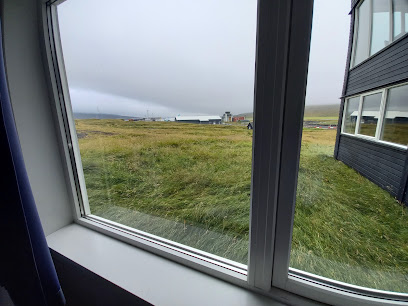
Guesthouse Hugo
9.3 km
Discover the charm of the Faroe Islands at Guesthouse Hugo, your cozy retreat in Sørvágur's breathtaking landscapes.

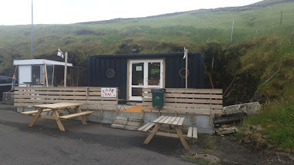
Cafe Kai
9.7 km
Discover Café Kai in Sørvágur, a cozy café offering delicious local treats and breathtaking views in the heart of the Faroe Islands.
Krambúðin
11.5 km
Discover Krambúðin in Vestmanna, a delightful brasserie serving locally inspired dishes in a cozy atmosphere, perfect for tourists exploring the Faroe Islands.

Disvoy
11.5 km
Experience the flavors of Scandinavian cuisine at Disvoy, a delightful restaurant in Vestmanna, Faroe Islands, known for its local ingredients and cozy atmosphere.

Fjósið
12.4 km
Discover Fjósið, a unique restaurant in Bøur, Faroe Islands, offering exquisite local cuisine amidst stunning coastal views.

Niđristova
16.2 km
Experience authentic Faroese cuisine at Niđristova, a culinary gem in Hvalvík, where local flavors meet breathtaking landscapes.

Joe Pizza
16.2 km
Discover the taste of Italy in the heart of Faroe Islands at Joe Pizza, where every slice is a journey into flavor.

Múlafossur Waterfall
16.4 km
Discover the breathtaking Múlafossur Waterfall in the Faroe Islands, where stunning nature meets serene tranquility, creating an unforgettable experience.
Múlafossur Cottages
16.4 km
Discover the serene beauty of Múlafossur Cottages in the Faroe Islands, where breathtaking nature meets modern comfort for an unforgettable retreat.

Gásadalsgarður
16.7 km
Experience the essence of Faroese cuisine at Gásadalsgarður, where stunning landscapes meet culinary excellence.

Greek food BEFO
19.3 km
Discover authentic Greek flavors at Greek Food BEFO in Tórshavn, a culinary oasis in the heart of the Faroe Islands.

Mass & Mia
19.5 km
Experience the lively atmosphere of Mass & Mia Bar in Tórshavn, where local charm meets vibrant nightlife in the scenic Faroe Islands.

HAMSA
19.6 km
Experience exceptional dining at HAMSA in Hoyvík, where local flavors meet a cozy ambiance in the heart of the Faroe Islands.

Húsagarður
19.7 km
Experience the authentic flavors of the Faroe Islands at Húsagarður, a top dining destination in Tórshavn, known for its locally-sourced cuisine.


