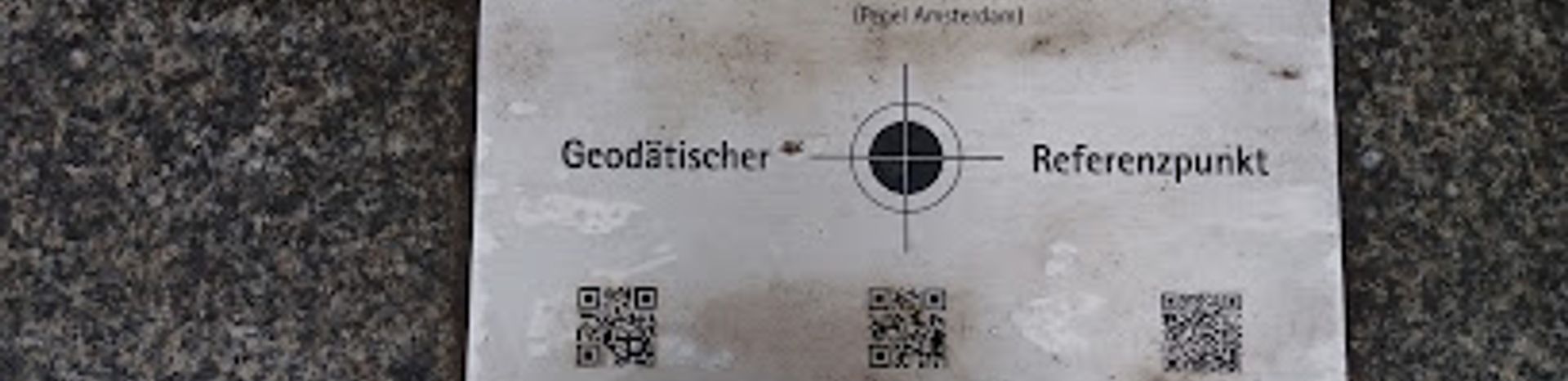
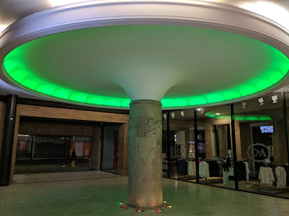
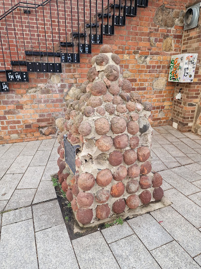
Geodätischer Referenzpunkt: A Landmark of Precision
Experience the Geodätischer Referenzpunkt in Leipzig, a unique scientific landmark showcasing the art of geodesy and its historical significance.
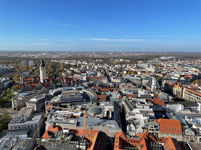
Discover the Geodätischer Referenzpunkt in Leipzig, a hidden gem for tourists interested in science and history. This unique tourist attraction offers a glimpse into the world of geodesy, showcasing the importance of accurate measurements in our everyday lives. Marvel at the historical significance of this location while enjoying the surrounding beauty of Leipzig.
A brief summary to Geodätischer Referenzpunkt
- Schillerstraße, Leipzig, Mitte, 04109, DE
- Visit website
Local tips
- Visit early in the morning or late afternoon for the best lighting for photographs.
- Combine your visit with a walk in the nearby parks for a refreshing experience.
- Check local events, as there may be guided tours or educational workshops available.
Getting There
-
Walking
If you are in Zentrum-Süd, start by heading north towards the main road, which is Karl-Liebknecht-Straße. Once you reach Karl-Liebknecht-Straße, turn left and continue walking straight. After about 10 minutes, you will arrive at Schillerstraße. Turn right onto Schillerstraße, and walk for another 5 minutes. The Geodätischer Referenzpunkt will be on your left side at Schillerstraße, 04109 Leipzig.
-
Public Transportation
From Zentrum-Süd, you can take tram line 9 from the nearest tram stop, which is 'Zentrum-Süd'. Board the tram heading towards 'Leipzig, Messe'. After 3 stops, get off at 'Goerdelerring'. Transfer to tram line 11 at the same stop, heading towards 'Leipzig, Plagwitz'. Ride for 2 stops and get off at 'Schillerstraße'. From there, it is a short 5-minute walk to the Geodätischer Referenzpunkt, which will be located on your right on Schillerstraße.
Discover more about Geodätischer Referenzpunkt
Iconic landmarks you can’t miss
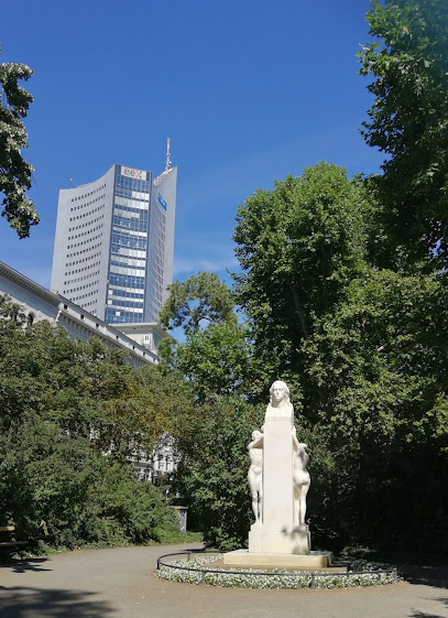
Schiller-Denkmal
0.1 km
Explore the Schiller-Denkmal in Leipzig, a stunning tribute to Germany's literary heritage amidst a beautiful park setting.
Leipzig Tours - Leipzig Stadtführungen - Walking Tours
0.2 km
Experience the rich history and vibrant culture of Leipzig through captivating guided walking tours, showcasing iconic landmarks and hidden gems.
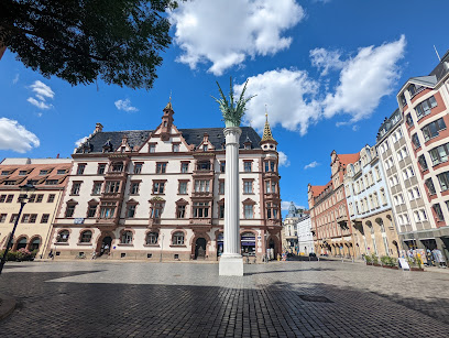
Pilzsäule
0.2 km
Discover the artistic charm of the Pilzsäule in Leipzig, a whimsical mushroom-shaped landmark that embodies the city's vibrant culture and history.
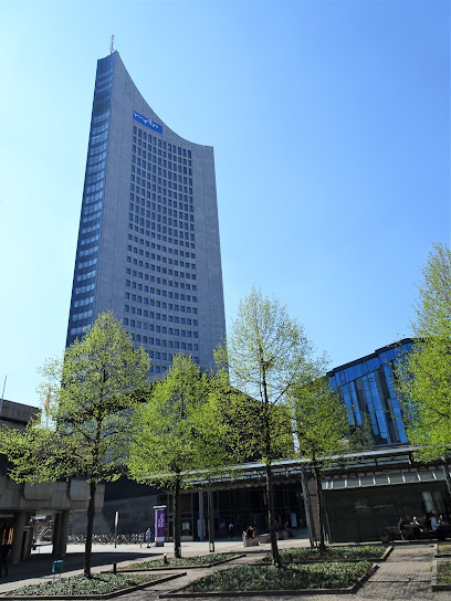
City-Hochhaus Leipzig
0.3 km
Discover the City-Hochhaus Leipzig, a stunning architectural landmark offering breathtaking views and a glimpse into the vibrant culture of Leipzig.
Faust and Mephisto Sculpture
0.4 km
Explore the Faust and Mephisto Sculpture in Leipzig - a captivating blend of art, history, and literature in a stunning passageway.
Münzplatz
0.4 km
Explore Münzplatz: A serene state park in Leipzig, perfect for relaxation, picnics, and enjoying nature's beauty in the heart of the city.
Augustusplatz
0.5 km
Explore Augustusplatz, a vibrant transit hub in Leipzig, surrounded by stunning architecture, cultural landmarks, and lively local life.
Museum of Antiquities of Leipzig University
0.5 km
Explore ancient civilizations and their fascinating artifacts at the Museum of Antiquities of Leipzig University, a must-see cultural landmark.
Аlte Waage
0.5 km
Discover Leipzig's historical gem, Allte Waage, where architectural beauty meets rich cultural heritage in the heart of the city.

Lipsia Brunnen
0.5 km
Discover the beauty of Lipsia Brunnen, a stunning fountain in Leipzig that blends art and nature in a vibrant urban setting.
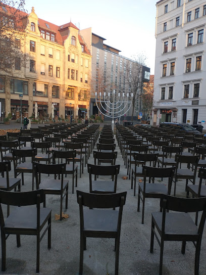
Monument der Erinnerung und Trauer
0.5 km
Discover the profound history of the Jewish community at the Monument der Erinnerung und Trauer in Leipzig, a memorial and museum dedicated to remembrance.
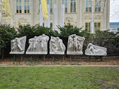
Tympanon-Fries
0.6 km
Discover the artistic beauty and historical significance of Tympanon-Fries, a must-visit tourist attraction in the heart of Leipzig.
Karl-Liebknecht-Straße 1
0.6 km
Explore the architectural beauty of Karl-Liebknecht-Straße 1, a vibrant hub in Leipzig blending modern design with cultural richness.
Böttchergäßchen 3
0.6 km
Explore the enchanting Böttchergäßchen in Leipzig, a historic cobblestone street filled with charming buildings, unique shops, and a vibrant art scene.
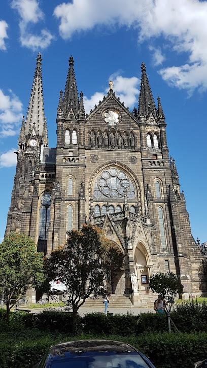
Peterskirche Leipzig
0.6 km
Explore Peterskirche Leipzig: A stunning Evangelical church blending history, spirituality, and vibrant live music in the heart of the city.
Unmissable attractions to see
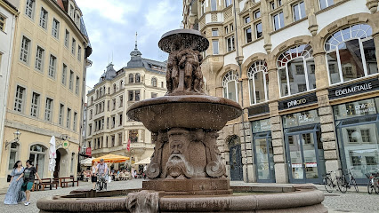
Rathausbrunnen
0.2 km
Discover the charm of Rathausbrunnen in Leipzig, a stunning fountain surrounded by history, culture, and vibrant city life, perfect for every traveler.
Letzte Gaslampe Leipzigs
0.2 km
Explore the Last Gas Lamp of Leipzig, a historic landmark that lights up the past and enriches your travel experience in this vibrant city.
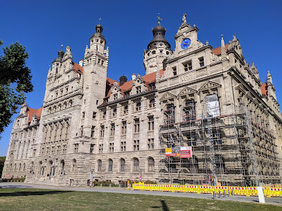
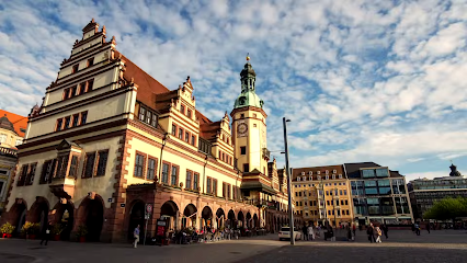
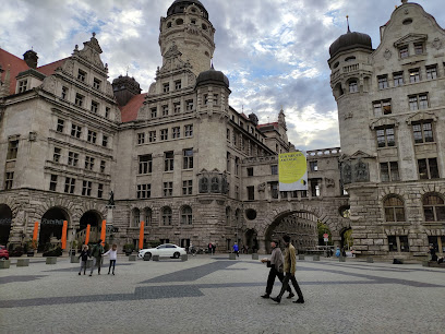
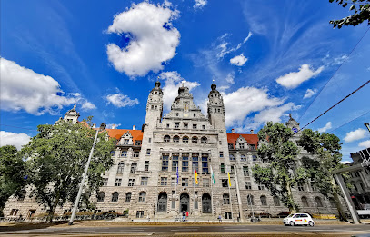
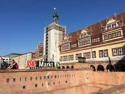
New Town Hall
0.2 km
Explore Leipzig's New Town Hall, a breathtaking neo-Renaissance architectural gem with stunning views and rich history in the heart of the city.
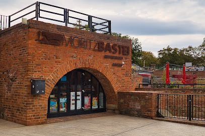
Moritzbastei
0.3 km
Experience the vibrant cultural hub of Leipzig at Moritzbastei, where history meets modern entertainment in a stunning setting.
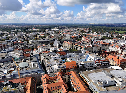
Aussichtsplattform Uniriese
0.3 km
Experience the stunning skyline of Leipzig from the Aussichtsplattform Uniriese, an observation deck offering breathtaking panoramic views.
Kanonenkugel Turm
0.3 km
Explore the historic Kanonenkugel Turm in Leipzig, a fascinating tower rich in history and architectural beauty, perfect for tourists seeking culture.
Aussichtsplattform Panorama Tower
0.3 km
Discover breathtaking views of Leipzig and beyond from the iconic Panorama Tower's observation deck, a must-visit for every traveler.
Cityhochhaus Uniriese
0.3 km
Experience breathtaking views of Leipzig from the Cityhochhaus Uniriese, a stunning skyscraper that offers a unique perspective on the city's vibrant skyline.
Panorama Tower - Plate of Art
0.3 km
Experience fine dining with panoramic views of Leipzig at the Panorama Tower, where culinary artistry meets breathtaking landscapes.
Stiftung „Universitätskirche St. Pauli zu Leipzig
0.3 km
Explore the Universitätskirche St. Pauli, a historical foundation in Leipzig, showcasing stunning architecture and rich cultural heritage.
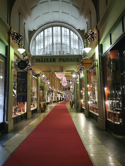
Mädler-Passage
0.3 km
Explore the historic Mädler-Passage in Leipzig, where shopping meets culture in a beautifully preserved arcade.
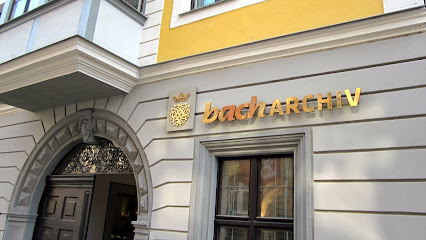
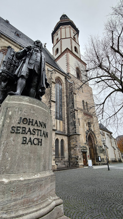
Bach-Museum Leipzig
0.3 km
Discover the life and legacy of Johann Sebastian Bach at the captivating Bach-Museum in Leipzig, where music history comes alive through interactive exhibits.
Neues Bach-Denkmal
0.3 km
Explore the Neues Bach-Denkmal in Leipzig, a stunning tribute to the great composer Johann Sebastian Bach, surrounded by rich cultural heritage.
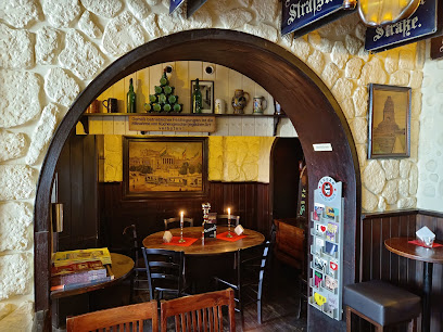
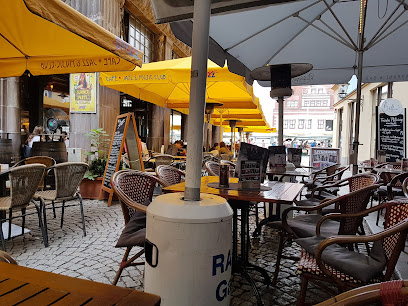
Auerbachs Keller
0.4 km
Experience the rich culinary heritage of Leipzig at Auerbachs Keller, a historic German restaurant inspiring literature and delighting taste buds.
Forum of Contemporary History Leipzig
0.4 km
Discover the rich history of Germany at the Forum of Contemporary History Leipzig, where the past and present converge in compelling exhibitions.
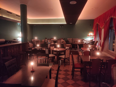
Essential places to dine
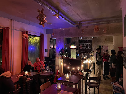
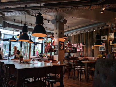
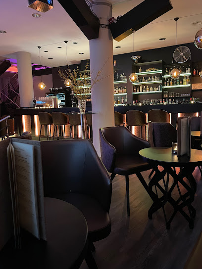
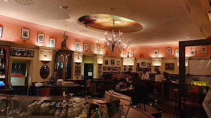
Palazzo ZIHNØ Restaurant & bar - Leipzig
0.1 km
Savor exquisite dishes and cocktails at Palazzo ZIHNØ Restaurant & Bar in Leipzig while enjoying vibrant live music.
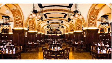
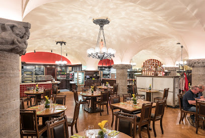
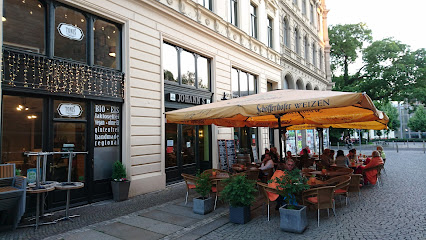
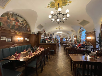
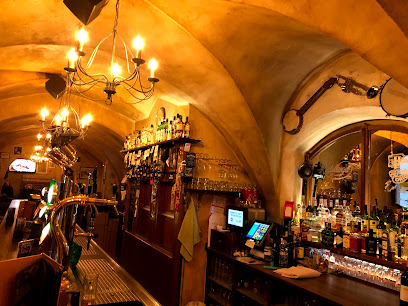
Ratskeller der Stadt Leipzig GmbH
0.2 km
Discover authentic German flavors at Ratskeller der Stadt Leipzig – where tradition meets taste in a lively beer hall setting.
Zur Pleißenburg - Leipzig
0.2 km
Discover authentic German cuisine at Zur Pleißenburg, where traditional flavors meet cozy ambiance in the heart of Leipzig.
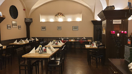
Thüringer Hof
0.2 km
Discover authentic German cuisine at Thüringer Hof in Leipzig – where tradition meets taste in a cozy setting.
Max Enk
0.3 km
Experience the finest German cuisine at Max Enk - where every meal is a celebration of flavor and elegance in Leipzig.
L'Osteria Leipzig
0.3 km
Experience authentic Italian cuisine at L'Osteria Leipzig - where every meal is a delicious journey through Italy's culinary traditions.
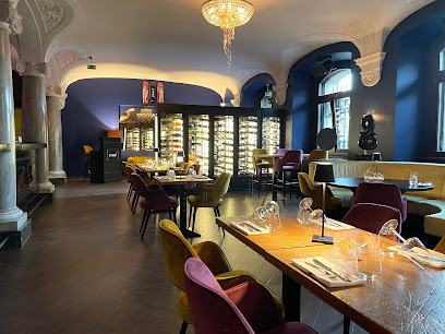
Johann S. Restaurant & Weinbar
0.3 km
Savor authentic German cuisine and fine wines at Johann S. Restaurant & Weinbar in Leipzig's vibrant culinary scene.
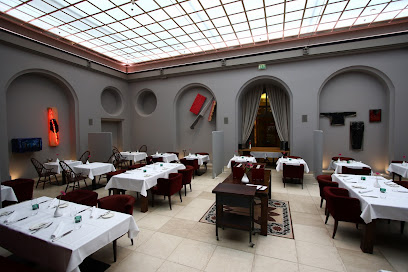
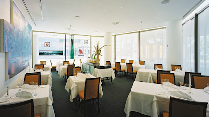
Stadtpfeiffer Restaurant im Gewandhaus
0.4 km
Experience exquisite modern French cuisine at Stadtpfeiffer Restaurant im Gewandhaus in Leipzig – where tradition meets innovation.
HANS IM GLÜCK - LEIPZIG Augustusplatz
0.4 km
Discover gourmet burgers in a cozy atmosphere at HANS IM GLÜCK - Leipzig's premier destination for food lovers.
Restaurant Cafe Madrid
0.4 km
Savor the vibrant flavors of Spain at Restaurant Cafe Madrid, where authentic dishes meet warm hospitality in Leipzig's lively atmosphere.
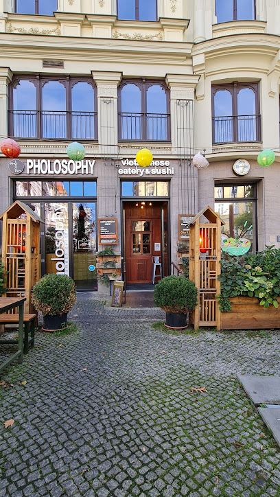
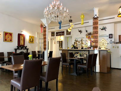
Pholosophy - vietnamese eatery
0.5 km
Experience authentic Vietnamese flavors at Pholosophy, Leipzig's premier eatery blending tradition with modernity for every palate.
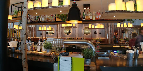
SYNDEO Restaurant Leipzig
0.5 km
Experience culinary excellence at SYNDEO Restaurant Leipzig - where local flavors meet modern dining in a vibrant atmosphere.
AMOR
0.5 km
Savor authentic Italian flavors at AMOR in Leipzig – where every meal feels like a trip to Italy.
Zills Tunnel
0.5 km
Experience the best of local and international cuisine at Zills Tunnel in Leipzig - where every meal is crafted with passion.
TUK TUK Thaifood
0.5 km
Experience authentic Thai cuisine at TUK TUK Thaifood in Leipzig—where every dish tells a story of flavor and tradition.
Markets, malls and hidden boutiques
LUSH Cosmetics Leipzig
0.1 km
Explore LUSH Cosmetics Leipzig, where creativity meets sustainability in a vibrant selection of handmade beauty products and unique gifts.

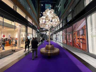
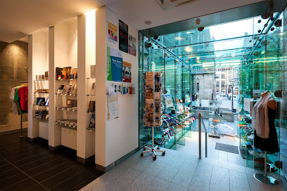
Petersbogen
0.1 km
Explore Petersbogen, Leipzig's top shopping mall, where fashion meets culture in a vibrant atmosphere filled with diverse shops and delightful dining options.
Abholen
0.2 km
Discover unique souvenirs and local crafts at Abholen, Leipzig's charming gift shop in the heart of the city.
Urban Outfitters
0.2 km
Discover unique fashion and lifestyle products at Urban Outfitters in the heart of Leipzig, where vintage meets contemporary style.
Zalando Outlet Store Leipzig
0.3 km
Experience a fashion paradise at Zalando Outlet Store Leipzig, where great style meets unbeatable prices for the whole family.
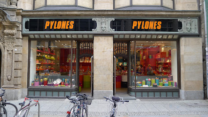
Pylones
0.3 km
Explore Pylones in Leipzig for colorful gifts and unique home goods that embody creativity and joy in every corner.
Wolford Boutique Leipzig
0.3 km
Explore Wolford Boutique in Leipzig for luxury women's fashion, exquisite lingerie, and chic accessories that define elegance and style.
Bazar Royal
0.3 km
Discover the essence of style at Bazar Royal, Leipzig's premier clothing destination for men and women, featuring quality apparel and exquisite leather goods.
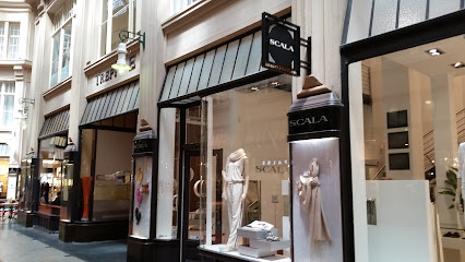
SCALA
0.3 km
Discover SCALA, Leipzig's premier clothing store, where contemporary fashion meets the city's vibrant culture and style.
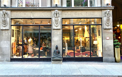
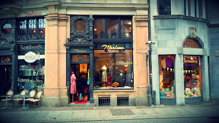
Boutique Marlene
0.3 km
Explore Boutique Marlene in Leipzig for unique clothing and accessories that reflect local style and sustainable fashion choices.
Culton Mode
0.3 km
Discover the latest fashion trends and unique accessories at Culton Mode in the heart of Leipzig, your go-to destination for stylish shopping.

GALERIA Leipzig
0.4 km
Explore GALERIA Leipzig: A shopping haven in the heart of the city, offering diverse retail options and a taste of local culture.
Thomasshop
0.4 km
Discover unique souvenirs and local crafts at Thomasshop, the heart of Leipzig's shopping experience.
Montblanc Boutique Leipzig
0.4 km
Explore Montblanc Boutique Leipzig for exquisite luxury writing instruments, watches, and leather goods in the heart of Germany's vibrant city.
Leipzig Laden
0.4 km
Explore Leipzig Laden, a charming souvenir store in the heart of Leipzig, offering unique crafts, local gifts, and an extensive selection of books.
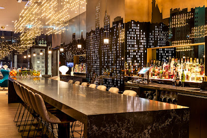
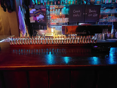
Essential bars & hidden hideouts
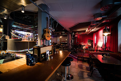
Piano Bar Leipzig
0.2 km
Experience the vibrant atmosphere of Piano Bar Leipzig, where exquisite cocktails and live music create unforgettable moments in the heart of the city.
Tonelli's Leipzig
0.2 km
Explore the vibrant nightlife of Leipzig at Tonelli's, a lively live music bar and pub offering delicious food and unforgettable performances.
Mephisto Bar
0.3 km
Discover the enchanting Mephisto Bar in Leipzig, where history meets modernity in a cozy atmosphere with exceptional drinks.
Gwuni's Cafe - und Cocktail Bar
0.3 km
Discover the perfect blend of cozy ambiance and artisanal drinks at Gwuni's Cafe and Cocktail Bar in Leipzig.

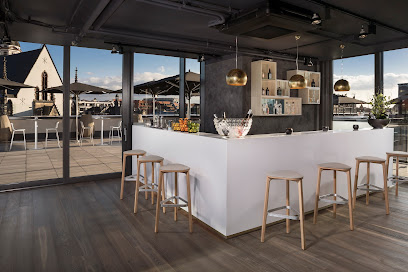
Bar Cabana Dachterrasse - Leipzig
0.5 km
Experience the vibrant atmosphere of Bar Cabana Dachterrasse, Leipzig's rooftop bar with stunning views, exquisite drinks, and delicious cuisine.
BELLINI'S BAR & RESTAURANT - Leipzig
0.5 km
Experience the vibrant atmosphere of Bellini's Bar & Restaurant, a cocktail bar and café in the heart of Leipzig with delicious food and drinks.
Kildare City Pub
0.5 km
Discover Kildare City Pub in Leipzig for an authentic Irish atmosphere, delicious food, and vibrant sports entertainment.
Die Bar
0.5 km
Experience the vibrant atmosphere at Die Bar, Leipzig's premier sports bar, where local brews and excitement meet in a cozy setting.
Sonderbar - Leipzig
0.5 km
Experience the vibrant atmosphere and innovative cocktails at Sonderbar in Leipzig, the perfect spot for night owls and cocktail enthusiasts.
Renkli
0.5 km
Experience the charming ambiance and curated wine selection at Renkli, a must-visit wine bar in the heart of Leipzig.
The First Whisk (e) y Bar Leipzig - Leipzig
0.6 km
Discover the ultimate whisky experience at The First Whisk(e)y Bar in Leipzig, featuring over 600 whiskies and an inviting ambiance to unwind.
Rooftop One Bar Leipzig-Post
0.6 km
Experience the stunning skyline of Leipzig at Rooftop One Bar, where exquisite drinks and breathtaking views await you.
Hexenkessel
0.6 km
Discover the magical atmosphere of Hexenkessel in Leipzig, where creative cocktails and vibrant nightlife come together.
Soltmann
0.6 km
Discover Soltmann, Leipzig's vibrant bar where delightful cocktails and a cozy atmosphere create unforgettable nights in the city's heart.
Goldhopfen - Craft Beer Bar Leipzig
0.6 km
Discover Goldhopfen, Leipzig's premier craft beer bar, offering an eclectic selection of brews in a vibrant and welcoming atmosphere.