

Free Western Coal Fields Travel Guide & Mobile App
Explore Western Coal Fields with free travel guides. Discover regional history, expert tips, proposed trips, and audio guides on web or mobile app.


Explore Western Coal Fields in Kentucky for coal heritage, river landscapes, small-town culture, outdoor recreation and authentic western Kentucky food.
Read more about Western Coal Fields
Getting to and around Western Coal Fields
How to get there
Transportation
Top city travel guides in Western Coal Fields
The cities of Western Coal Fields, and the easiest places to base yourself.
-
-

-

-


Swipe for more cities
Destinations in Western Coal Fields
Resorts, valleys and scenic spots worth a trip of their own.
-

-


Swipe for more destinations
Best attractions in Western Coal Fields
Western Coal Fields offers an attraction landscape shaped by both industrial heritage and open countryside. Local museums and heritage collections in communities such as Madisonville, Greenville and Central City explain the coal industry, railway development and the lives of mining families, while Central City’s Everly Brothers memorials connect the region with American popular music. Dawson Springs provides access to wooded recreational country and the Tradewater River area, and the Green River corridor supports fishing, boating, birdwatching and seasonal wildlife observation. Reclaimed mine lands and reservoirs have created grasslands, woodland and water-based recreation areas, although access varies and some sites remain private or operational. Historic town centres, churches, courthouses and local cemeteries add a quieter architectural dimension, while regional festivals and community events offer insight into music, food and mining memories. The best itineraries combine a museum or heritage stop with a scenic drive and an outdoor activity rather than expecting a single concentrated attraction district.
-
Hotel
Bally's Evansville Casino & Hotel
Discover excitement and relaxation at Bally's Evansville Casino & Hotel, where gaming and comfort meet in a stunning riverside setting.
-
Arena
Ford Center
Discover the Ford Center in Evansville, Indiana, where entertainment meets community in a modern arena setting.
-
National forest
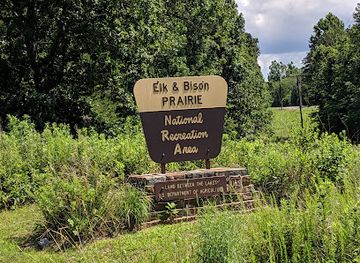
Land Between the Lakes National Recreation Area
Explore the vast landscapes of Land Between the Lakes National Recreation Area, where adventure meets tranquility in the heart of nature.
-
Performing arts theater
Victory Theatre
Discover the historic Victory Theatre in Evansville, Indiana—your destination for captivating live performances and unforgettable cultural experiences.



Best landmarks in Western Coal Fields
The most recognisable landmarks of Western Coal Fields reflect geology, labour and local cultural memory. Central City’s Everly Brothers Monument commemorates the Muhlenberg County musicians whose harmonies helped shape modern country and rock music. Coal heritage museums and preserved mining displays in the Madisonville and Greenville area provide tangible reminders of the shafts, railways, machinery and company communities that once structured the regional economy. The courthouse squares and historic civic buildings of the area’s county seats express a different layer of identity, rooted in nineteenth-century administration and trade. The Green River is the region’s principal natural landmark, its broad bends and wooded banks contrasting with the engineered landscapes of mines and transport routes. The Tradewater River and the forested country around Dawson Springs add smaller-scale geographical markers, while reclaimed mine hills, lakes and grasslands show how industrial land has been reshaped for agriculture, habitat and recreation.
-
National park
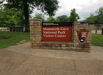
Mammoth Cave National Park
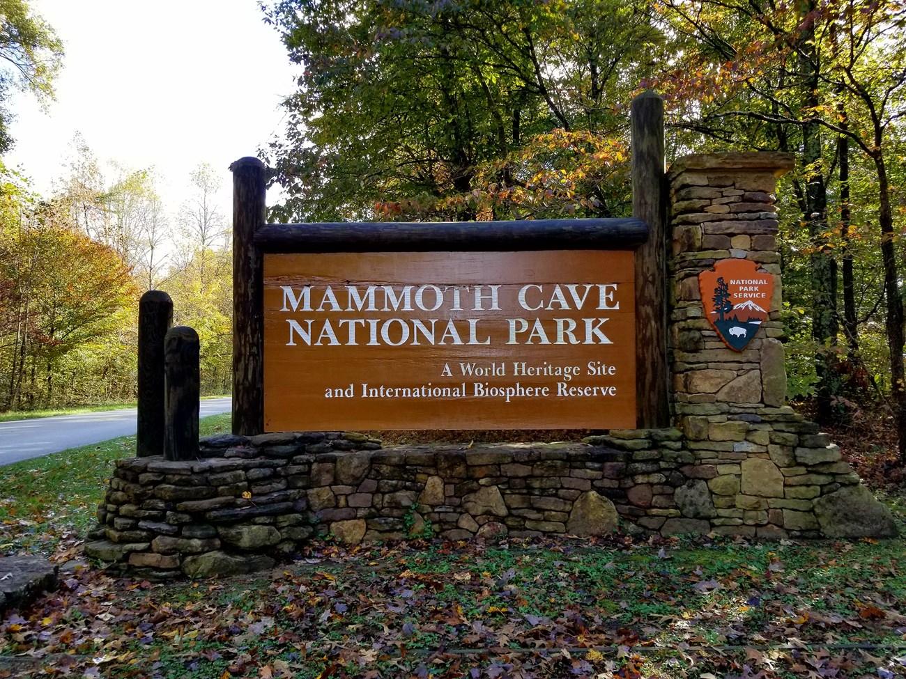
Discover the breathtaking beauty and hidden depths of Mammoth Cave National Park, where adventure and nature unite in Kentucky's stunning wilderness.
-
Historical landmark
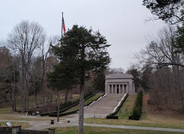
Abraham Lincoln Birthplace
Discover the birthplace of Abraham Lincoln, a historical landmark in Kentucky, celebrating the legacy of the 16th president amid serene landscapes and educational exhibits.
-
State park
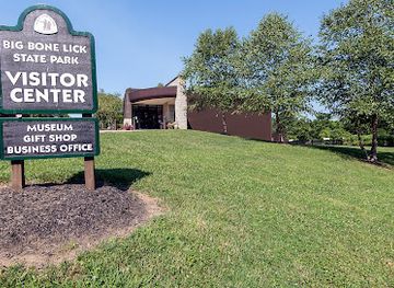
Big Bone Lick State Historic Site
Explore the prehistoric wonders and outdoor delights of Big Bone Lick State Historic Site, a Kentucky gem for history and nature enthusiasts alike.
-
State park
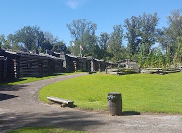
Fort Boonesborough State Park
Discover the captivating history and natural beauty of Fort Boonesborough State Park, a premier destination for history buffs and nature lovers in Kentucky.
Explore Western Coal Fields on the map
Plan your trip on one map. See where the top cities, national parks and sights are, and book hotels and experiences in a few clicks.
Best hotels in Western Coal Fields
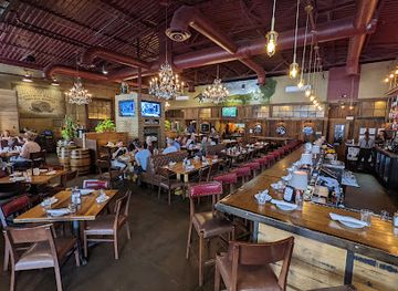
Best restaurants in Western Coal Fields
Dining in Western Coal Fields is informal, generous and closely connected to western Kentucky’s wider food traditions. Barbecue, smoked meats, catfish, fried chicken, biscuits, country breakfasts and vegetable sides appear frequently in independent restaurants, cafés and family-run diners. Green River communities have long supported freshwater fishing traditions, while farms and gardens contribute seasonal produce, preserves and baked goods. Menus vary from town to town, and locally owned establishments often provide a better sense of the area than standardised chains. In larger communities such as Madisonville, visitors can find a broader choice of American, Mexican and Asian-influenced cooking alongside familiar regional fare. Farmers’ markets and roadside sellers may offer fruit, vegetables, honey, baked goods and other local products during the growing season. Bourbon is a Kentucky-wide tradition rather than a special product of the coalfield, but Kentucky drinks are widely available in restaurants and bars.
-
Restaurant
Patti's 1880's Settlement
Experience authentic 19th-century charm at Patti's 1880's Settlement with delicious dining and cozy accommodations in Grand Rivers, Kentucky.
-
American
Carson's Food & Drink - On Main
Discover the vibrant flavors of American cuisine at Carson's Food & Drink in downtown Lexington – where every meal tells a story.
-
Brewpub
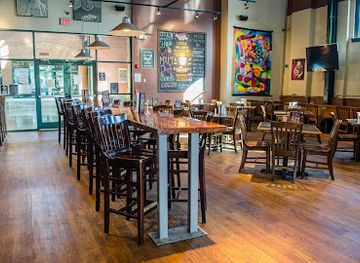
Against the Grain Brewery & Public House
Discover Against the Grain Brewery & Public House: A must-visit brewpub in downtown Louisville offering craft beers and gourmet burgers.
-
American
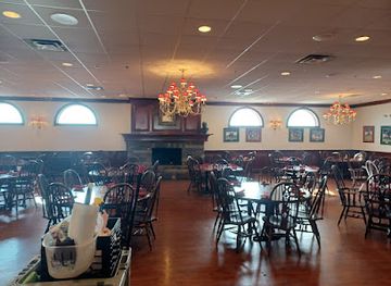
Claudia Sanders Dinner House
Savor authentic Southern cuisine at Claudia Sanders Dinner House, where history meets flavor in every dish.

Best bars in Western Coal Fields
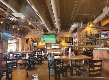
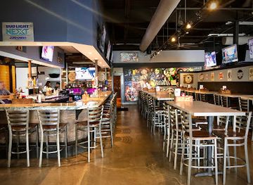
Nightlife in Western Coal Fields is modest and community-oriented rather than centred on large clubs. Madisonville and other larger towns have the widest choice of casual bars, restaurants, sports bars and occasional live-music settings, while smaller communities tend to rely on traditional pubs, locally owned taverns and evening social events. Central City’s musical heritage gives the area a stronger connection to country, rock and old-time performance than its size might suggest, although programming changes from season to season. Breweries, cocktail lounges and late-night venues are less common than in Kentucky’s major cities, and rural establishments may close earlier than international visitors expect. Check current arrangements locally, especially for live music, fairs and community festivals, and plan a safe drive or taxi option because distances between towns can be considerable.
-
Brewpub
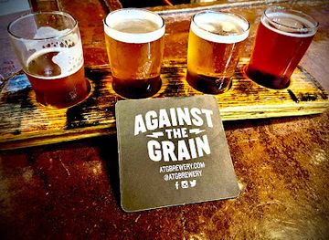
Against the Grain Brewery & Public House
Experience the vibrant flavors of craft beer and delicious food at Against the Grain Brewery & Public House, a true gem in downtown Louisville.
-
Restaurant
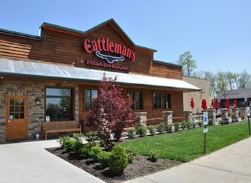
Cattleman's Roadhouse
Experience hearty American dining at Cattleman's Roadhouse in Danville, KY, featuring top-quality steaks and a welcoming atmosphere.
-
Sports bar
Double Dogs
Discover Double Dogs in Bowling Green, KY: where great food meets an electrifying sports atmosphere, perfect for families and friends.
-
American
Pub by Novo
Dive into the local flavors at Pub by Novo, an American bar & grill in Bowling Green, KY, blending delicious food with a vibrant sports atmosphere.
Best nightclubs in Western Coal Fields
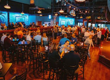
Nightlife in Western Coal Fields is modest and community-oriented rather than centred on large clubs. Madisonville and other larger towns have the widest choice of casual bars, restaurants, sports bars and occasional live-music settings, while smaller communities tend to rely on traditional pubs, locally owned taverns and evening social events. Central City’s musical heritage gives the area a stronger connection to country, rock and old-time performance than its size might suggest, although programming changes from season to season. Breweries, cocktail lounges and late-night venues are less common than in Kentucky’s major cities, and rural establishments may close earlier than international visitors expect. Check current arrangements locally, especially for live music, fairs and community festivals, and plan a safe drive or taxi option because distances between towns can be considerable.
-
Bar
Howl at the Moon Louisville
Discover the ultimate nightlife experience at Howl at the Moon Louisville, where live music and cocktails create unforgettable memories.
-
Night club
The Bar Complex
Dive into Lexington's nightlife at The Bar Complex, where live music, dancing, and delicious drinks create unforgettable nights.
-
Night club
Coles's Place
Experience the vibrant nightlife at Coles's Place, a lively nightclub in Louisville offering great music, affordable drinks, and a welcoming atmosphere.
-
Night club
West 80 Country Music
Immerse yourself in the vibrant energy of country music at West 80 Country Music, Somerset's premier night club for live entertainment and dancing.

Best shops in Western Coal Fields
Shopping in Western Coal Fields is concentrated in the main town centres rather than in large destination malls. Madisonville provides the broadest practical choice of supermarkets, independent retailers, services and small specialist shops, while downtown areas in Madisonville, Central City, Greenville and neighbouring communities may contain antiques, books, gifts and locally made items. Farmers’ markets and seasonal roadside stands are useful for Kentucky produce, jams, honey, baked goods and other provisions, with availability depending on the time of year. Coal-themed souvenirs, historical books, music memorabilia and locally produced crafts offer more meaningful reminders of the region than generic merchandise. Visitors should not expect extensive luxury or designer shopping, but the area’s independent shops and community markets reflect its agricultural, musical and industrial character. Stocking up in a larger town is sensible before heading into more rural districts.
-
Flea market
Lexington Peddlers Mall
Explore an eclectic treasure trove at Lexington Peddlers Mall, your destination for unique collectibles and handcrafted goods in Lexington, KY.
-
Rock shop
Big Mike's Rock Shop
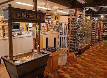
Explore the wonders of nature at Big Mike's Rock Shop, a treasure trove of rocks, minerals, and fossils in Cave City, Kentucky.
-
Grocery store
Ashland Food Fair
Explore Ashland Food Fair for fresh local produce and unique Kentucky specialties in Ashland, Kentucky.
-
Flea market
Murray Peddler's Mall
Explore the vibrant Murray Peddler's Mall, where unique treasures, local crafts, and a welcoming atmosphere await every visitor.


Get your free copy of our complete guide to Western Coal Fields, delivered straight to you.
Everything on this page, from attractions and restaurants to essentials and local phrases, in one PDF you can read offline, print or share.
Already have an account? Sign in
Your Western Coal Fields guide is ready.
We'll send it to · Not you? Sign out

Getting your guide ready…
We are putting together a fresh copy of the Western Coal Fields guide. This can take up to a minute.
This can take a few moments. If your browser asks, choose Allow so the download can start. You'll find the guide in your Downloads folder.
Nothing happened? Download it again
Sorry, the guide is taking longer than usual. Please try again in a minute, or get it by email instead.
Western Coal Fields essentials
Currency and Payment
Safety
Emergency Situations
Do's and Don'ts
Local Tips
From Eve
Local phrases worth knowing
You don't need to get them perfect. A few words go a long way, and locals appreciate the effort.
Basics
| English | Local | Say it |
|---|---|---|
| Hello | Howdy | [Haw-dee] |
| Goodbye | Bye now | [Bye now] |
| Yes | Uh-huh | [Uh-huh] |
| No | Naw | [Naw] |
| Please/You're welcome | Thank ya | [Thaynk yah] |
| Thank you | Thank ya | [Thaynk yah] |
| Excuse me/Sorry | Pardon me | [Pardon me] |
| How are you? | How ya doin'? | [How yah doin'?] |
| Fine. And you? | I’m good. How 'bout you? | [I’m good. How 'bout you?] |
| Do you speak English? | You speakin' English? | [Yoo speakin' English?] |
| I don't understand | I ain't gettin' it | [I ain't gettin' it] |
Eating & Drinking
| English | Local | Say it |
|---|---|---|
| I'd like to see the menu, please | Can I see the menu, please? | [Can I see the menu, please?] |
| I don't eat meat | I don’t eat no meat | [I don’t eat no meat] |
| Cheers! | Cheers! | [Cheers!] |
| I would like to pay, please | I’d like to settle up, please | [I’d like to settle up, please] |
Emergencies
| English | Local | Say it |
|---|---|---|
| Help! | Help! | [Help!] |
| Go away! | Get away! | [Git away!] |
| Call the Police! | Call the cops! | [Call the cops!] |
| Call a doctor! | Call a doc! | [Call a doc!] |
| I'm lost | I’m lost | [I’m lost] |
| I'm ill | I ain't feelin' good | [I ain't feelin' good] |
Shopping
| English | Local | Say it |
|---|---|---|
| I'd like to buy... | I wanna buy... | [I wanna buy...] |
| I'm just looking | I’m just browsin’ | [I’m just browsin’] |
| How much is it? | How much's this? | [How much's this?] |
| That's too expensive | That’s a bit pricey | [That’s a bit pricey] |
| Can you lower the price? | Can ya bring it down some? | [Can ya bring it down some?] |
Time & Numbers
| English | Local | Say it |
|---|---|---|
| What time is it? | What time is it? | [What time is it?] |
| It's one o'clock | It's one o’clock | [It's one o’clock] |
| Half past (10) | Half past ten | [Half past ten] |
| Morning | Mornin' | [Mornin'] |
| Afternoon | Afternoon | [Afternoon] |
| Evening | Evenin' | [Evenin'] |
| Yesterday | Yesterday | [Yesterday] |
| Today | Today | [Today] |
| Tomorrow | Tomorrow | [Tomorrow] |
| 1 | One | [One] |
| 2 | Two | [Two] |
| 3 | Three | [Three] |
| 4 | Four | [Four] |
| 5 | Five | [Five] |
| 6 | Six | [Six] |
| 7 | Seven | [Seven] |
| 8 | Eight | [Eight] |
| 9 | Nine | [Nine] |
| 10 | Ten | [Ten] |
Transport & Directions
| English | Local | Say it |
|---|---|---|
| Where's a/the...? | Where's a...? | [Where's a...?] |
| What's the address? | What’s the address? | [What’s the address?] |
| Can you show me (on the map)? | Can ya point it out? | [Can ya point it out?] |
| When's the next (bus)? | When's the next bus? | [When's the next bus?] |
| A ticket (to ....) | A ticket to... | [A ticket to...] |
History of Western Coal Fields
Indigenous Landscapes and Early Settlement
Long before European settlement, Indigenous peoples used the Green River valley, forested uplands and nearby streams for travel, hunting, fishing and agriculture. Archaeological evidence across western Kentucky records ancient settlement and mound-building traditions, while later Indigenous communities continued to move through the region’s river corridors. European-American settlement expanded during the late eighteenth and early nineteenth centuries, drawn by fertile bottomlands, timber, navigable waterways and the possibility of farming. The landscape’s rivers would remain important as the region developed roads, ferries, mills and, eventually, railways.
The Green River and Early Agricultural Economy
During the nineteenth century, the Green River and its tributaries supported a rural economy based on farms, timber, mills and small commercial settlements. River transport connected inland communities with larger markets, although seasonal water levels and changing channels limited its reliability. Towns grew around county administration, trade and transport rather than forming one dominant regional city. Churches, courthouses, general stores and family farms established patterns that remain visible in the small-town landscapes of western Kentucky, even after coal became the area’s most influential industry.
The Rise of Commercial Coal Mining
The coal seams of western Kentucky were worked on a growing commercial scale from the late nineteenth century, as industrial demand and railway construction made extraction more profitable. Muhlenberg, Hopkins, Ohio and adjacent counties developed mines, tipples, rail sidings and company settlements. Coal created employment and attracted workers, while mining companies influenced housing, schools, shops and local infrastructure. The industry also brought difficult working conditions, dangerous accidents and environmental change. Many communities still interpret their history through former mines, preserved equipment, memorials and local museums.
Railways, Company Towns and Community Life
Railways were central to the coalfield’s transformation. They carried coal to markets, brought machinery and supplies into rural districts and connected mining towns with regional centres. Company towns often developed around mines, with housing and services tied closely to employers, while independent towns served as commercial and administrative hubs. The resulting communities produced distinctive institutions, including churches, schools, labour organisations, newspapers and social clubs. Rail transport gradually declined in importance for passengers, but historic rail alignments, industrial structures and town layouts still reveal how closely everyday life was once organised around mining and freight.
Music and the Cultural Legacy of Central City
Western Coal Fields also contributed to the wider cultural history of American popular music. Central City was the hometown of Don and Phil Everly, whose close harmonies and guitar-driven recordings influenced country, rock and pop performers internationally during the 1950s and 1960s. Their legacy is commemorated locally through monuments and community events. The connection is significant because it shows that the coalfield was not defined only by extraction and labour: its small towns also produced musicians and cultural traditions that travelled far beyond Kentucky.
Mining Decline, Reclamation and Economic Change
Coal employment declined substantially during the later twentieth century as mechanisation, changing energy markets and competition from other fuels reduced the need for labour-intensive operations. Some mines closed, and communities faced the loss of population, wages and supporting businesses. Reclamation has since returned portions of mined land to grassland, woodland, reservoirs and wildlife habitat, although the results vary from site to site. Today the region combines surviving industrial activity and agricultural production with heritage tourism, outdoor recreation, health services, manufacturing and efforts to preserve the memory of mining communities.
Western Coal Fields in Photos
Browse through our photo collection highlighting the charm and character of the destination.
Neighbouring regions of Western Coal Fields
The closest regions to Western Coal Fields, if you have time for more than one.
-

-

-
 Highland Rim
Explore Kentucky’s Highland Rim for Mammoth Cave, limestone landscapes, rural heritage, Bowling Green museums and outdoor adventures.
-

-


Swipe for more regions
Explore more

Explore more of Kentucky
Discover Kentucky, a land of natural wonders, historic landmarks, and rich cultural heritage. From horse racing to bourbon distilleries, this state has it all.
Explore Kentucky