Sommet d'Angoavy, Atsinanana Travel Guide
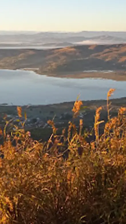
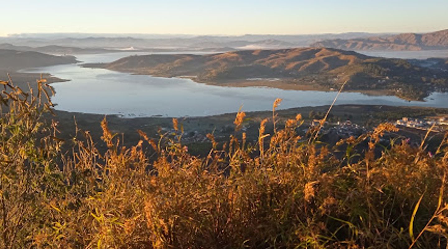
Experience the breathtaking beauty of Sommet d'Angoavy, a hiking paradise in Madagascar, where nature unfolds its stunning vistas.
Nestled in the heart of Madagascar, Sommet d'Angoavy offers breathtaking trails with stunning vistas and a rich diversity of flora and fauna. Ideal for adventure lovers, this hiking area is a must-visit for anyone looking to experience the natural beauty of the region.
A brief summary to Sommet d'Angoavy
- XPPJ+XQ7, Unnamed Road, Ampefy, MG

Know before you go
Hi, I'm Eve. Here are a few practical things to know before exploring Sommet d'Angoavy.
- Bring plenty of water and snacks to stay energized during your hike.
- Wear sturdy hiking shoes to navigate the uneven terrain comfortably.
- Consider visiting during the early morning for cooler temperatures and fewer crowds.
- Don't forget your camera to capture the stunning views and unique wildlife.
Do you manage this location?
Take control to get all the benefits, like improved information, better appearance, and stronger visibility across AI-powered discovery. Learn more about listing your business on Evendo
Activate your presenceOther nearby places you may find interesting
The closest places of the same kind, if this one is not quite what you had in mind.

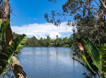
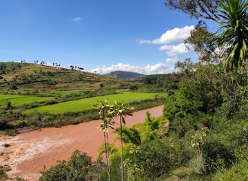
Explore Sommet d'Angoavy on the Map
A handpicked selection of must-see spots near Sommet d'Angoavy, mapped for you.
Getting There
-
Car
From any location in Atsinanana, make your way to Route Nationale 2 (RN2) heading east toward Ampefy. This is the main road connecting towns in the Atsinanana region. Continue on RN2 for approximately 60 kilometers until you reach the town of Ampefy. Once in Ampefy, look for signs directing you to the Unnamed Road near coordinates XPPJ+XQ7. Follow this road for about 5 kilometers until you reach the base of Sommet d'Angoavy. Be aware that the road conditions can vary, so a vehicle with good clearance may be beneficial.
-
Public Transportation (Taxi-Brousse)
To take a taxi-brousse from Atsinanana to Ampefy, head to the local taxi-brousse station in your area. You will need to find a taxi-brousse heading to Ampefy, which may require some waiting. The fare to Ampefy typically ranges from 10,000 to 15,000 Ariary. Once you arrive in Ampefy, hire a local taxi or a pousse-pousse (a small bicycle taxi) to take you to the Unnamed Road leading to Sommet d'Angoavy. The fare for local transport should be negotiated beforehand, typically around 5,000 to 10,000 Ariary.
-
Walking
If you are already in Ampefy and prefer to walk, you can hike to Sommet d'Angoavy from the town center. Start from the main square in Ampefy and head towards the Unnamed Road, which is accessible from the town. The hike will take approximately 1-2 hours depending on your pace, and it is advisable to bring water and wear appropriate hiking shoes. The trail may not be well marked, so keep an eye out for local signs or ask locals for guidance.
Discover more about Sommet d'Angoavy













Your all‑in‑one travel companion app
Explore expert travel guides, compare and book tours, experiences, hotels, and more—all from the palm of your hand. Download now for seamless trip planning wherever your wanderlust takes you.


Explore More of Atsinanana
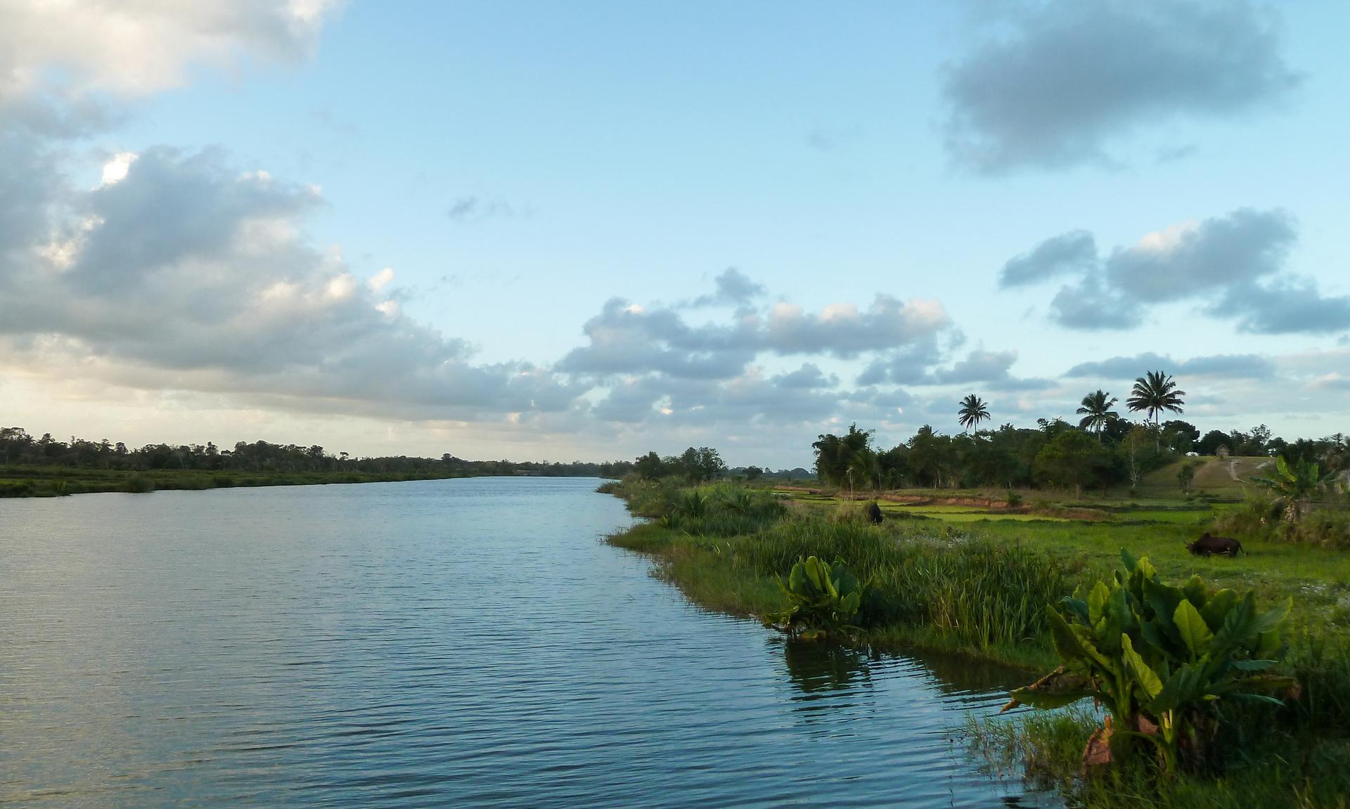
Looking beyond Sommet d'Angoavy? Discover Atsinanana for broader travel guides, local hot-spots, and regional highlights.
Explore Atsinanana
Explore Parc Madagasikarantsika, a stunning botanical garden in Mandoto, Madagascar, showcasing unique flora and a serene environment for all nature lovers.

Soar through the skies of Madagascar with Parapente Madagascar, where adventure meets breathtaking beauty in Ampefy’s stunning landscapes.