
Wheeler Peak Trail: A Hiker's Paradise
Explore Wheeler Peak Trail in Taos Ski Valley, NM – a breathtaking hiking area offering stunning mountain views and diverse wildlife encounters.
Nestled in the breathtaking Sangre de Cristo Mountains, Wheeler Peak Trail is a must-visit for hikers and nature enthusiasts. This stunning trail offers unparalleled views, diverse flora and fauna, and an unforgettable adventure for all skill levels.
A brief summary to Wheeler Peak Trail Sign
- Taos Ski Valley, New Mexico, 87525, US
Local tips
- Start your hike early in the morning to avoid crowds and enjoy cooler temperatures.
- Wear sturdy hiking boots and bring trekking poles for added stability on the trail.
- Check the weather forecast before your hike, as mountain weather can change rapidly.
- Pack a picnic to enjoy at the summit while taking in the panoramic views.
- Consider hiking with a buddy for safety and to share the experience.
Getting There
-
Car
If you are driving to the Wheeler Peak Trail Sign from anywhere within Taos Ski Valley, start on State Road 150 (Ski Valley Road). As you drive north, look for the road leading toward the Taos Ski Valley Resort. Continue driving until you reach the parking area for the Williams Lake Trailhead, which is approximately 4 miles from the main intersection in Taos Ski Valley. Park your vehicle in the designated parking area, which may have a fee (usually around $5-$10 per vehicle, depending on the season). After parking, follow the marked trail signs leading to the Wheeler Peak Trail, which will direct you to the Wheeler Peak Trail Sign located at approximately 11,500 feet elevation.
-
Public Transportation
To reach the Wheeler Peak Trail Sign using public transportation, first, take the local shuttle service available in Taos Ski Valley. The shuttle operates during the ski season and can be picked up at various stops around the village. Confirm the shuttle schedule in advance as it may vary. Ask the driver to drop you off at the Williams Lake Trailhead stop, which is the closest point to the Wheeler Peak Trail. From the drop-off point, follow the signs indicating the Wheeler Peak Trail. Be prepared for a hike, which covers rugged terrain and elevation gain.
Discover more about Wheeler Peak Trail Sign
Iconic landmarks you can’t miss
A A Taos Ski Valley Wilderness
2.5 km
Discover the enchanting A A Taos Ski Valley Wilderness, a haven for adventure seekers and nature lovers in the stunning landscapes of New Mexico.
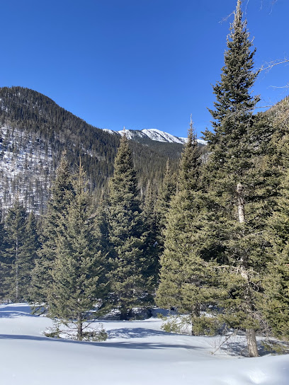
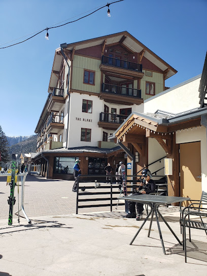
The Blake at Taos Ski Valley
2.5 km
Experience luxury and adventure at The Blake at Taos Ski Valley, your perfect alpine retreat for skiing and relaxation in New Mexico's majestic mountains.

Eis Haus & Ice Rink
2.5 km
Eis Haus & Ice Rink in Taos Ski Valley: Experience enchanting ice skating amidst breathtaking mountain scenery for all ages.
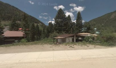
Edelweiss Lodge & Spa
2.6 km
Discover the perfect blend of adventure and luxury at Edelweiss Lodge & Spa, your gateway to the breathtaking landscapes of Taos Ski Valley.

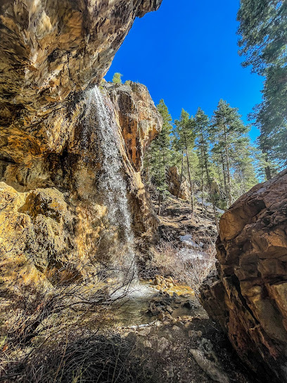
El Salto del Agua Cave & Waterfall
10.0 km
Explore El Salto del Agua Cave & Waterfall, an enchanting historical landmark in Arroyo Seco, New Mexico, surrounded by breathtaking nature and rich history.
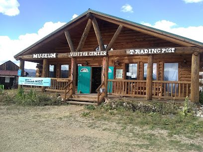
Enchanted Circle Gateway Museum & Visitor Center
16.4 km
Explore the captivating history of Eagle Nest, NM, at the Enchanted Circle Gateway Museum & Visitor Center – your gateway to local culture and heritage.
Hlaukwima (South House) of Taos Pueblo
17.9 km
Explore Hlaukwima (South House) in Taos Pueblo, a historic landmark showcasing Native American heritage and culture amidst breathtaking landscapes.
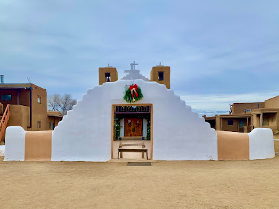
Largo Canyon
18.9 km
Discover the stunning vistas and serene trails of Largo Canyon in New Mexico, a perfect escape for nature lovers and adventurers.

Hacienda del Sol
20.8 km
Experience the tranquility and charm of Taos at Hacienda del Sol, the perfect hotel for relaxation and adventure in New Mexico.

Mabel Dodge Luhan House
21.6 km
Experience the rich artistic history and serene beauty of Mabel Dodge Luhan House, a historic hotel in the heart of Taos, New Mexico.

Morada de Nuestra Señora de Guadalupe Historic Site
21.8 km
Explore the Morada de Nuestra Señora de Guadalupe, a historic site in Taos, NM, showcasing stunning adobe architecture and cultural significance.
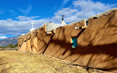
Taos Blue
22.0 km
Explore Taos Blue, an inspiring art gallery in Taos, NM, showcasing local masterpieces and celebrating the vibrant artistic culture of the region.
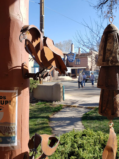
Sky-Eagle Collection, Fashion & Fine Art Gallery
22.0 km
Explore the Sky-Eagle Collection in Taos, where fashion meets fine art in a vibrant cultural hub celebrating creativity and craftsmanship.
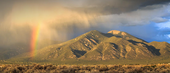
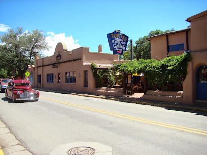
The Historic Taos Inn
22.0 km
Experience the rich history and vibrant culture of Taos, New Mexico at The Historic Taos Inn, your perfect retreat in the heart of the Southwest.
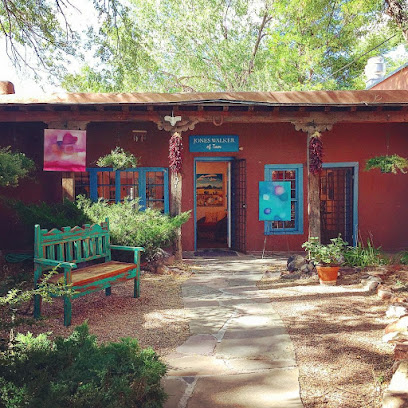
Jones Walker of Taos
22.0 km
Explore the vibrant art scene at Jones Walker of Taos, where local artists showcase their unique creations in a charming gallery setting.
Unmissable attractions to see
Trampas Lakes Trail
0.0 km
Embrace the breathtaking landscapes and serene beauty of Trampas Lakes Trail in Taos Ski Valley, an ideal escape for nature lovers and adventurers.

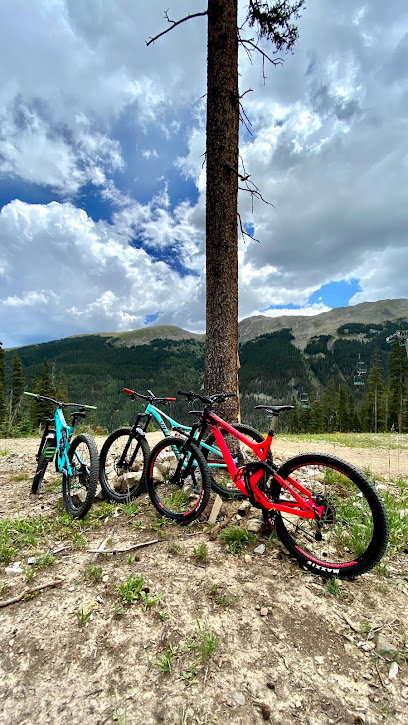
Taos Bike Park
0.3 km
Explore the exhilarating trails of Taos Bike Park, where adventure meets stunning mountain scenery in Taos Ski Valley, New Mexico.
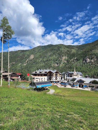
Rubezuhl Trail Head
0.3 km
Explore the stunning Rubezuhl Trail Head in Taos Ski Valley, New Mexico, where breathtaking views and diverse hiking trails await adventurers.
Easy Trip Trailhead
1.2 km
Explore Easy Trip Trailhead in New Mexico, a hiker's paradise featuring diverse trails and stunning natural beauty perfect for all skill levels.
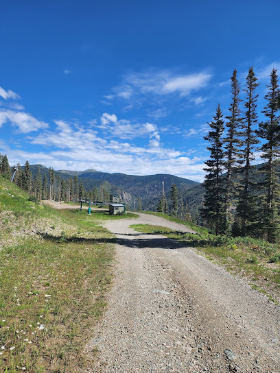
Kachina Peak NM
1.6 km
Experience the exhilarating slopes and stunning vistas of Kachina Peak, a premier ski resort in Taos Ski Valley, New Mexico.
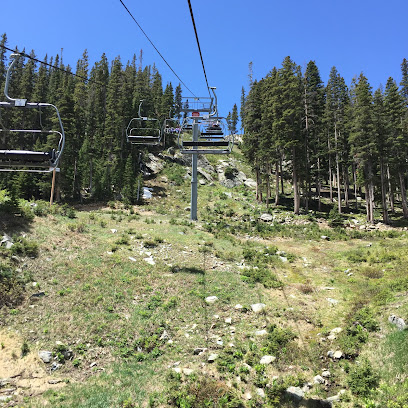
Williams Lake
2.2 km
Experience the natural beauty and tranquility of Williams Lake in New Mexico, a perfect destination for outdoor enthusiasts and nature lovers.
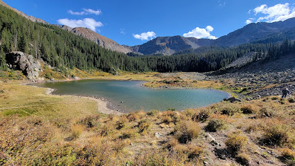
Village of Taos Ski Valley
2.5 km
Discover the breathtaking beauty and exhilarating adventures at the Village of Taos Ski Valley, a premier ski destination in New Mexico's Sangre de Cristo Mountains.
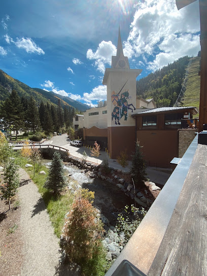
The Lounge at Taos Ski Valley by Rolling Still Distillery
2.6 km
Discover the perfect blend of local flavors and mountain charm at The Lounge at Taos Ski Valley, a premier cocktail bar experience.

Mt Walter
2.6 km
Experience the breathtaking vistas and diverse wildlife of Mt Walter, an ideal hiking destination in Taos Ski Valley, New Mexico.
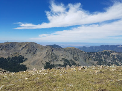
Twining Campground
2.7 km
Discover the beauty of Twining Campground in Taos Ski Valley, where adventure and nature come together for an unforgettable outdoor experience.
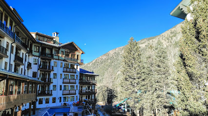
Wheeler Peak Historical Marker
2.8 km
Explore the breathtaking Wheeler Peak Historical Marker in Taos Ski Valley, New Mexico, where nature and history blend seamlessly.
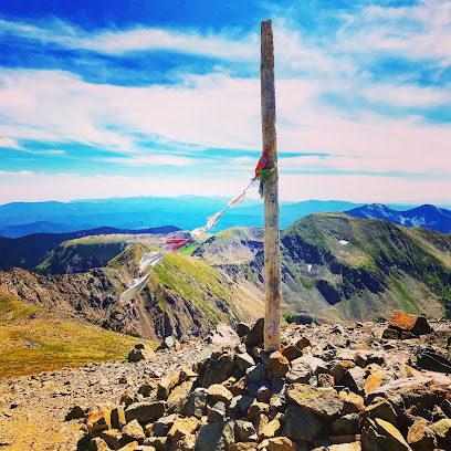
Wheeler Peak
2.8 km
Discover the breathtaking beauty of Wheeler Peak, New Mexico's highest point, offering stunning views and outdoor adventures for all.
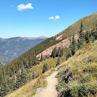
Snow Bear at Taos Ski Valley
2.8 km
Experience the thrill of winter sports at Snow Bear in Taos Ski Valley, a premier ski resort with breathtaking views and family-friendly fun.
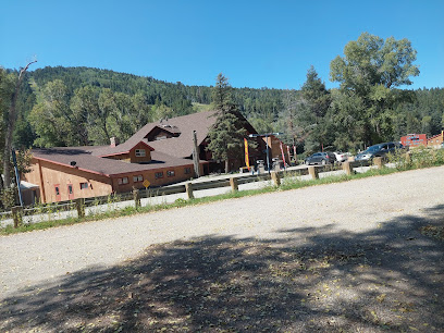
Wheeler Peak Wilderness
3.2 km
Explore the breathtaking Wheeler Peak Wilderness in New Mexico, where majestic mountains and rich biodiversity await outdoor enthusiasts and nature lovers.
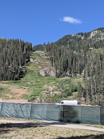
Middle Fork Lake
3.2 km
Explore the stunning Middle Fork Lake in Taos Ski Valley, New Mexico, a hiking haven surrounded by breathtaking mountain landscapes and pristine waters.
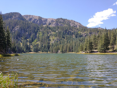
Essential places to dine
The Bavarian Restaurant
0.4 km
Experience authentic Bavarian flavors amidst stunning mountain views at The Bavarian Restaurant in Taos Ski Valley.
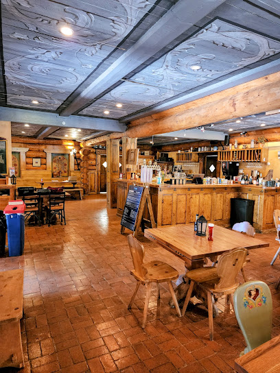
Whistlestop Cafe
1.9 km
Discover cozy dining at Whistlestop Cafe in Taos Ski Valley - where hearty meals meet warm hospitality amidst breathtaking mountain views.
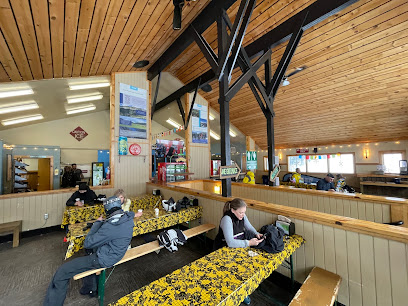
Rhoda's Restaurant
2.5 km
Experience authentic American cuisine amidst stunning mountain views at Rhoda's Restaurant in Taos Ski Valley.
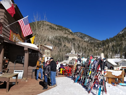
Hotel St. Bernard Restaurant
2.5 km
Experience exquisite French cuisine at Hotel St. Bernard Restaurant in Taos Ski Valley amidst stunning mountain vistas.
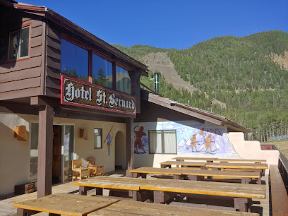
192 at The Blake
2.5 km
Experience culinary excellence at 192 at The Blake in Taos Ski Valley—where American flavors meet breathtaking mountain views.

The Blonde Bear Tavern & Cafe
2.6 km
Experience exquisite fine dining at The Blonde Bear Tavern & Cafe in Taos Ski Valley - where rustic charm meets gourmet cuisine.

Taos Ale House - TSV
2.6 km
Discover delightful cuisine and craft beers at Taos Ale House in beautiful Taos Ski Valley—your perfect après-ski destination.
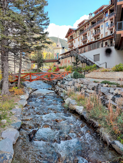
ACEQ
13.5 km
Discover ACEQ in Arroyo Seco - where American cuisine meets rustic charm amidst stunning landscapes.

Sundance Mexican Restaurant
15.1 km
Discover vibrant flavors at Sundance Mexican Restaurant in Red River - where authentic Mexican cuisine meets warm hospitality.
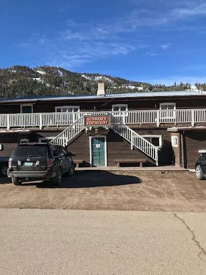
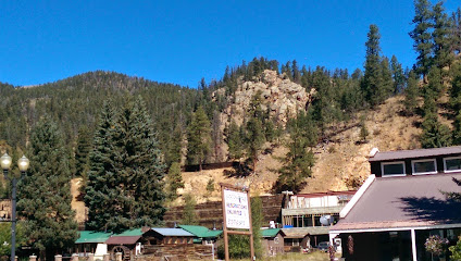
Shotgun Willie's
15.3 km
Discover hearty meals and warm hospitality at Shotgun Willie's, your go-to spot in scenic Red River, New Mexico.
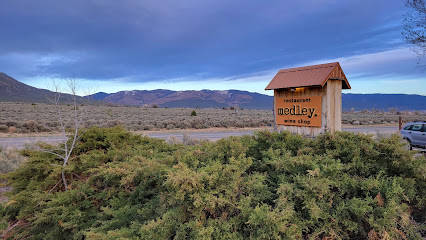
Medley.
18.0 km
Experience the essence of American cuisine at Medley in El Prado, where local flavors meet culinary creativity in a warm and inviting atmosphere.
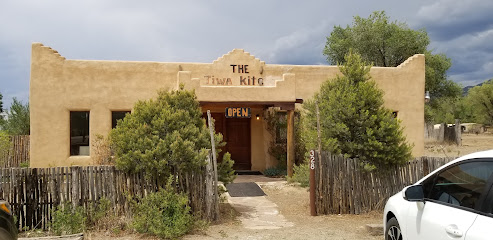
Tiwa Kitchen
18.6 km
Discover authentic Native American cuisine at Tiwa Kitchen in Taos, NM - where tradition meets flavor in every dish.
Farmhouse Cafe and Bakery
19.3 km
Discover culinary delights at Farmhouse Cafe & Bakery in El Prado - where fresh ingredients meet New Mexican charm.
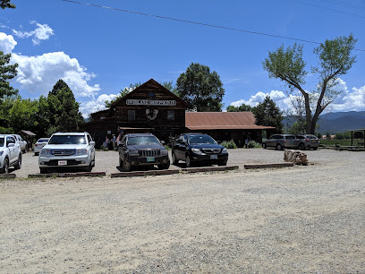
Orlando's
20.1 km
Discover the rich flavors of authentic Mexican cuisine at Orlando's in Taos – where every meal is a celebration of tradition and taste.
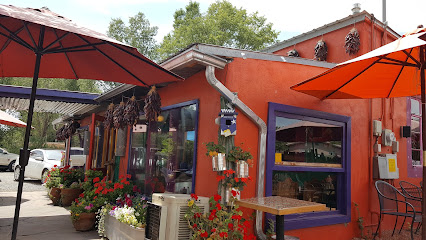
Ricky's
20.7 km
Discover authentic Mexican flavors at Ricky's in Taos - where each dish tells a story of tradition and taste.

Markets, malls and hidden boutiques
Black Diamond Espresso
2.5 km
Discover the warmth and flavor of Black Diamond Espresso, a cozy cafe in Taos Ski Valley offering exceptional coffee and delightful treats.
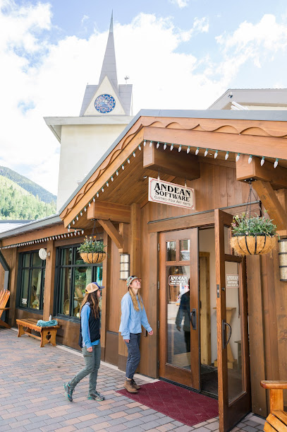
Andean Software
2.5 km
Explore the artistic charm of Andean Software in Taos Ski Valley, where unique clothing and local jewelry reflect the beauty of New Mexico.
Taos Sports
2.5 km
Discover an exceptional ski rental service at Taos Sports, the gateway to your alpine adventure in Taos Ski Valley, New Mexico.
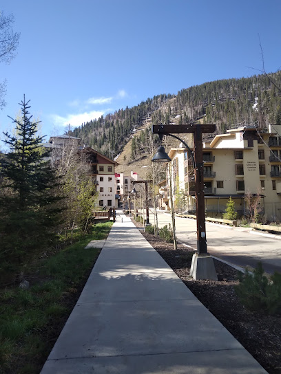
Taos Ski & Boot
2.5 km
Discover Taos Ski & Boot for the best ski rentals and outdoor gear in Taos Ski Valley, New Mexico, perfect for your adventurous spirit.

Bumps Market
2.5 km
Explore Bumps Market in Taos Ski Valley for local groceries and organic delights amidst stunning mountain scenery.

Loteria Paleteria
2.5 km
Discover the delightful flavors of Loteria Paleteria, a charming bakery offering artisanal paletas and pastries in the stunning Taos Ski Valley.

US Post Office
2.5 km
Experience the unique charm of Taos Ski Valley's Post Office, where postal services meet local treasures in a stunning mountain setting.
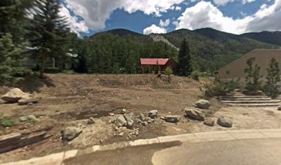
Confluence
2.6 km
Discover Confluence in Taos Ski Valley: The ultimate boutique for outdoor gear, local art, and unique gifts amidst stunning mountain scenery.
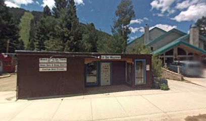
Cid’s Mountain Market
2.6 km
Discover Cid's Mountain Market in Taos Ski Valley, your go-to convenience store for snacks, essentials, and friendly service amidst the stunning mountain backdrop.

Cottam's Ski Shops
2.6 km
Discover top-quality ski and snowboard rentals at Cottam's Ski Shops in Taos Ski Valley, where expert service meets winter fun.

Taos Toffee
2.8 km
Discover the sweet charm of Taos Toffee, your go-to candy store for handmade chocolates and delicious toffees in Taos Ski Valley.
Taos Fly Dawg Fly Fishing Lanyards
2.8 km
Discover the best fly fishing gear at Taos Fly Dawg in Taos Ski Valley, where expert advice meets stunning outdoor adventures.
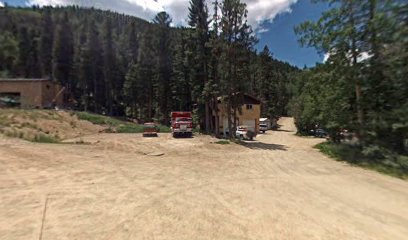
Arroyo Seco Mercantile
13.4 km
Explore the enchanting Arroyo Seco Mercantile for unique home goods and local crafts that capture the essence of New Mexico's culture and artistry.
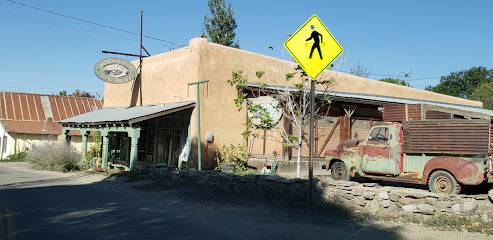
Town & Country Vintage
13.4 km
Explore unique vintage fashion at Town & Country Vintage in Arroyo Seco, where timeless style meets local charm.

Climates
15.0 km
Explore the heart of Red River with unique gifts and local crafts at Climates Gift Shop, a haven for tourists seeking special souvenirs.

Essential bars & hidden hideouts
The Phoenix Grill
0.2 km
Experience delicious grilled dishes in a cozy atmosphere at The Phoenix Grill, your go-to dining spot in Taos Ski Valley, New Mexico.

Martini Tree room
2.5 km
Discover the Martini Tree Room in Taos Ski Valley, a cozy bar with an impressive selection of martinis and a warm, inviting atmosphere.
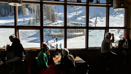
Sunny's
2.5 km
Discover the flavors of New Mexico at Sunny's, a cozy restaurant in the heart of Taos Ski Valley, perfect for après-ski dining.

Hondo Restaurant
2.5 km
Experience the taste of Taos Ski Valley at Hondo Restaurant, where local flavors meet a cozy mountain ambiance, perfect for every foodie.

Level renewal bar
2.5 km
Experience the ultimate in relaxation and rejuvenation at Level Renewal Bar, your premier medical spa in the scenic Taos Ski Valley.

Der Garten
2.6 km
Discover Der Garten, a charming sandwich shop in Taos Ski Valley, serving gourmet sandwiches made with fresh, local ingredients amidst stunning mountain views.
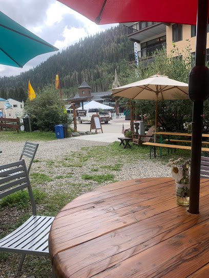
Snow Bear Inn & Condominiums
2.8 km
Discover unmatched comfort and adventure at Snow Bear Inn & Condominiums in Taos Ski Valley, where nature meets cozy accommodations.
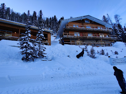
Mountain View Bar & Lounge
13.7 km
Discover the perfect blend of scenic views and relaxation at Mountain View Bar & Lounge in Valdez, NM.
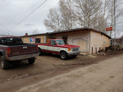
Bull O' the Woods Saloon
15.0 km
Discover the lively Bull O' the Woods Saloon in Red River, NM - where great drinks, delicious food, and entertainment come together in a warm and inviting atmosphere.

Motherlode Saloon
15.0 km
Experience the lively ambiance and delicious drinks at Motherlode Saloon in Red River, NM, the perfect spot to unwind after your adventures.

boars head bar
15.2 km
Experience the heartwarming flavors and vibrant atmosphere of Boars Head Bar, a grill-style gem in Red River, New Mexico.
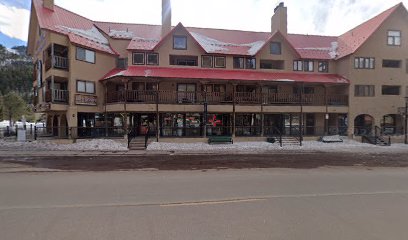
Red River Brewing Company & Distillery
15.2 km
Experience the heart of Red River at the Red River Brewing Company & Distillery, where local craft beer meets vibrant community spirit.

Saloon
15.8 km
Discover the spirit of the Southwest at Saloon, a charming bar in Eagle Nest, New Mexico, where good drinks and great company await.
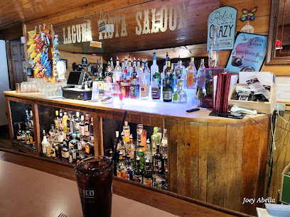
DALEEE at KTAOS SOLAR CENTER
18.9 km
Experience the vibrant atmosphere and stunning views at DALEEE, the premier bar located at KTAOS Solar Center in beautiful El Prado, New Mexico.
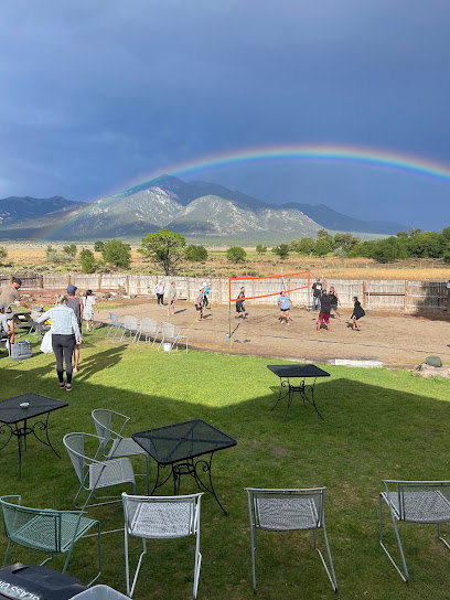
KTAOS Solar Center
18.9 km
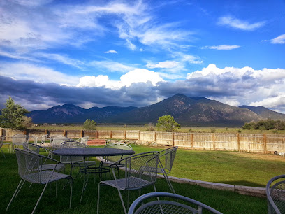
Discover KTAOS Solar Center - A dynamic bar and concert venue in Taos, New Mexico, blending great food, live music, and a commitment to sustainability.
Nightclubs & after hour spots
Gutters Bowling
24.9 km
Experience the ultimate fun at Gutters Bowling in Taos, where bowling, arcade games, and delicious food come together for an unforgettable outing.

Shadeh Nightclub
93.7 km
Discover the electric nightlife and vibrant atmosphere of Shadeh Nightclub in Santa Fe, NM, a destination for unforgettable nights and lively entertainment.


