
Talimena Scenic Byway: A Journey Through Natural Splendor
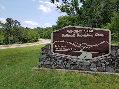
The Talimena Scenic Byway is a breathtaking 54-mile route winding through the Ouachita National Forest in southeastern Oklahoma. This picturesque drive is renowned for its stunning vistas, especially during the fall when the foliage transforms into a vibrant tapestry of reds, oranges, and yellows. The byway offers numerous pull-offs where visitors can take in panoramic views of the rolling hills and lush forests. Along the route, travelers can explore several historical sites and recreational areas. The Winding Stair Mountain National Recreation Area is a highlight, offering hiking trails that showcase the region's natural beauty. Rich in history, the byway also features landmarks such as the Old Military Road, which dates back to the early 19th century. Wildlife enthusiasts will find the Talimena Scenic Byway a paradise, with opportunities to spot deer, wild turkeys, and a variety of bird species. The drive is also popular among motorcyclists and cyclists, who enjoy the winding roads and scenic overlooks. Whether you're seeking a peaceful retreat or an adventurous outing, the Talimena Scenic Byway promises an unforgettable experience.
Local tips in Talimena Scenic Byway
- Visit during the fall for the most spectacular foliage views.
- Stop at the numerous pull-offs to fully appreciate the panoramic vistas.
- Bring binoculars for bird watching and spotting other wildlife.
- Consider hiking some of the trails in the Winding Stair Mountain National Recreation Area.
- Pack a picnic and enjoy a meal at one of the scenic overlooks.
- Check the weather before you go, as conditions can change rapidly in the mountains.
Talimena Scenic Byway: A Journey Through Natural Splendor
The Talimena Scenic Byway is a breathtaking 54-mile route winding through the Ouachita National Forest in southeastern Oklahoma. This picturesque drive is renowned for its stunning vistas, especially during the fall when the foliage transforms into a vibrant tapestry of reds, oranges, and yellows. The byway offers numerous pull-offs where visitors can take in panoramic views of the rolling hills and lush forests. Along the route, travelers can explore several historical sites and recreational areas. The Winding Stair Mountain National Recreation Area is a highlight, offering hiking trails that showcase the region's natural beauty. Rich in history, the byway also features landmarks such as the Old Military Road, which dates back to the early 19th century. Wildlife enthusiasts will find the Talimena Scenic Byway a paradise, with opportunities to spot deer, wild turkeys, and a variety of bird species. The drive is also popular among motorcyclists and cyclists, who enjoy the winding roads and scenic overlooks. Whether you're seeking a peaceful retreat or an adventurous outing, the Talimena Scenic Byway promises an unforgettable experience.
When is the best time to go to Talimena Scenic Byway?
Iconic landmarks you can’t miss
Talimena State Park
Explore the stunning vistas and rich biodiversity at Talimena State Park, a perfect destination for outdoor enthusiasts and nature lovers.
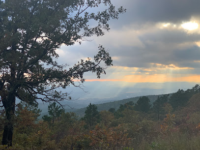
Talimena National Scenic Byway
Discover unparalleled beauty along the Talimena National Scenic Byway, a picturesque route in Oklahoma renowned for its stunning vistas and vibrant landscapes.
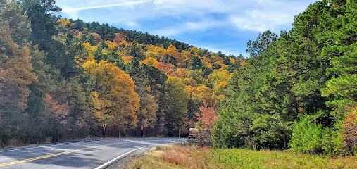
Talimena Scenic Dr
Experience the stunning natural beauty of Talimena Scenic Drive in Oklahoma, a breathtaking byway perfect for nature lovers and scenic enthusiasts.
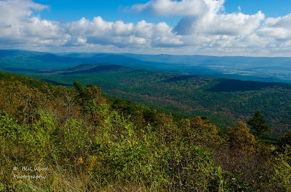
Unmissable attractions to see
Panorama Vista
Discover the stunning scenic vistas at Panorama Vista in Talihina, Oklahoma, a must-visit for nature lovers and outdoor enthusiasts.
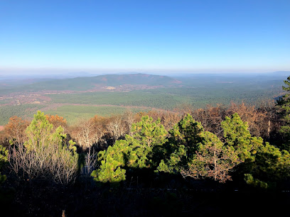
Winding Stair Campground
Explore Winding Stair Campground: a hidden gem in Oklahoma's Ouachita National Forest, perfect for camping, hiking, and immersing in nature's beauty.
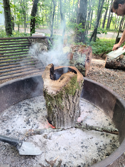
Talimena Scenic Dr
Experience the breathtaking views and natural beauty of Talimena Scenic Drive, a top scenic route in Oklahoma perfect for adventure and relaxation.
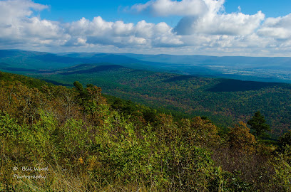
Horsethief Springs Picnic Ground
Discover the tranquility of Horsethief Springs Picnic Ground, a scenic retreat in Oklahoma’s Ouachita Mountains, perfect for picnics and outdoor adventures.
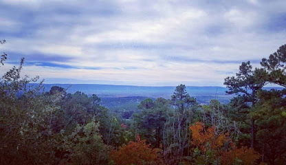
Potato Hill Vista
Experience the stunning beauty of Potato Hill Vista, a scenic spot in Oklahoma offering breathtaking mountain views and serene outdoor adventures.
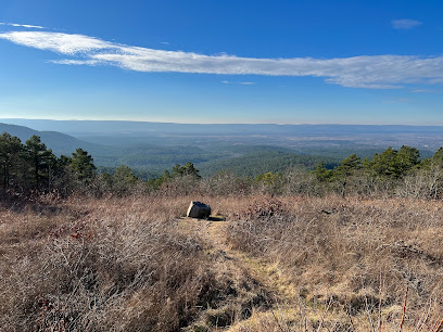
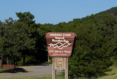
Winding Stair Mountain National Recreation Area
Discover the breathtaking beauty of Winding Stair Mountain National Recreation Area, a perfect getaway for nature lovers and adventure seekers in Oklahoma.
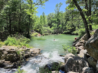
Billy Creek Blue Hole
Discover the enchanting beauty of Billy Creek Blue Hole in Hodgen, Oklahoma—a perfect escape for nature lovers and adventure seekers alike.
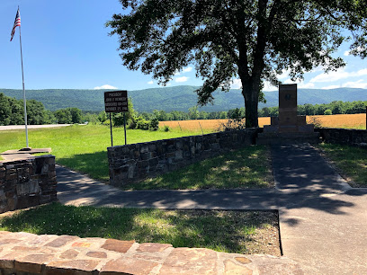
John F. Kennedy Memorial
Visit the tranquil John F. Kennedy Memorial in Hodgen, Oklahoma, and reflect on the legacy of one of America's most revered presidents.
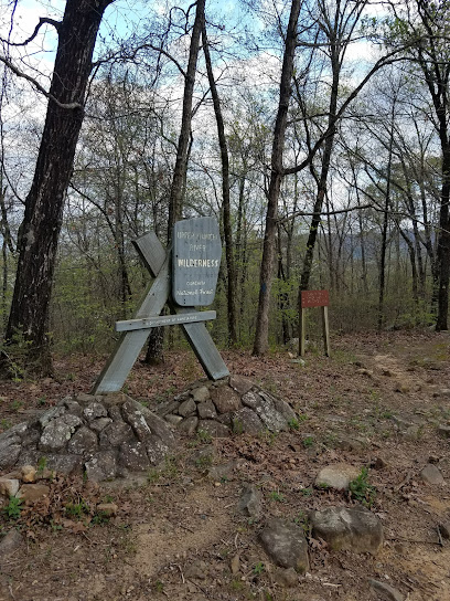
Pashubbe Trailhead
Explore Pashubbe Trailhead in Oklahoma, a perfect destination for hiking enthusiasts and nature lovers seeking stunning vistas and outdoor adventure.
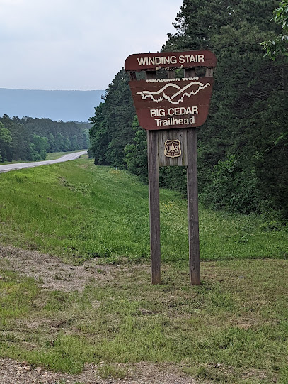
Big Cedar Trailhead
Discover the breathtaking trails and scenic views at Big Cedar Trailhead, a must-visit hiking destination in Heavener, Oklahoma.
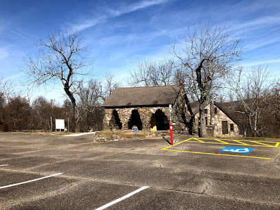
The Wonder House
Explore the enchanting Wonder House in Mena, Arkansas, a unique tourist attraction showcasing whimsical architecture and rich local history.
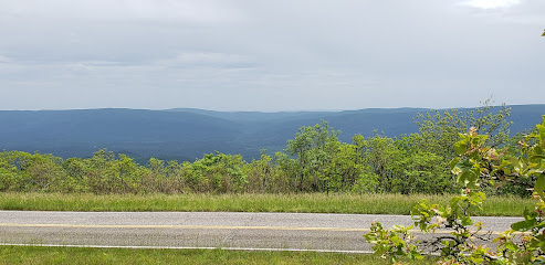
Castle Rock Vista
Discover the stunning panoramic views and serene beauty of Castle Rock Vista, a must-visit scenic spot in Heavener, Oklahoma.
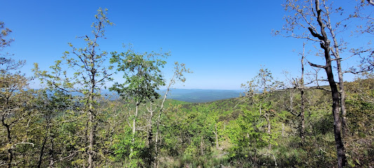
Ouachita National Recreation Trail Head
Experience the breathtaking beauty of Ouachita National Recreation Trail Head, an outdoor paradise for hiking and nature enthusiasts in Oklahoma.
Holson Valley Shelter
Explore the beautiful hiking trails of Holson Valley Shelter in Wister, Oklahoma, a natural escape perfect for outdoor adventures and serene nature experiences.
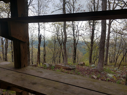
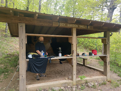
Rock Garden Shelter
Experience the stunning tranquility of the Rock Garden Shelter in Oklahoma's Ouachita National Recreation Area, a paradise for hikers and nature lovers.
Essential places to dine
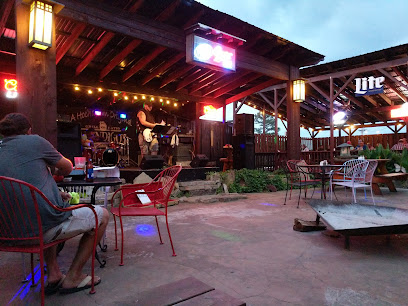
Abendigo's
Discover Abendigo's: A premier steakhouse in Broken Bow offering exquisite cuisine, vibrant live music, and a warm atmosphere for unforgettable moments.
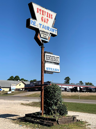
Stevens Gap
Explore Stevens Gap in Hochatown - A cozy American restaurant offering delicious breakfasts in a charming setting.
The Blue Rooster Restaurant
Experience hearty American cuisine with southern charm at The Blue Rooster Restaurant in Hochatown.
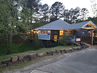
Shady Oaks Restaurant
Experience delicious American comfort food at Shady Oaks Restaurant in Hochatown—perfect for families and adventurers alike.
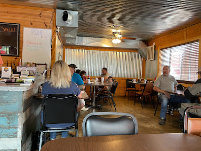
Southern Belle Restaurant
Experience authentic American comfort food at Southern Belle Restaurant in Heavener, where every dish feels like home.

Wendy's
Discover Wendy's in Mena: where delicious fast food meets affordability amidst Arkansas' scenic beauty.

Pizza Hut
Discover delicious pizzas and mouthwatering chicken wings at Pizza Hut in Mena – your perfect dining spot while exploring Arkansas!

Subway
Experience fresh flavors at Subway in Talihina - where customizable sandwiches meet quick service amidst Oklahoma's natural beauty.

Great Western Dining EOSC
Experience delightful dining at Great Western Dining EOSC in Wilburton - where affordable meals meet classic diner comfort.

Markets, malls and hidden boutiques
Bargain Shack
Explore a treasure trove of unique items at Bargain Shack, the top variety store in Poteau, Oklahoma, perfect for local souvenirs and great deals.

Janet's Treasure Chest
Explore Janet's Treasure Chest for unique gifts and local crafts in Hochatown, Broken Bow. A must-visit for memorable souvenirs and local artistry.
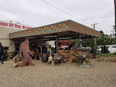
THE OUACHITAS
Explore the flavors of Arkansas at The Ouachitas, where local cuisine meets craft brewing in a cozy mountain setting.

Talimena State Park
Discover the breathtaking vistas and rich biodiversity of Talimena State Park, a serene escape into the heart of Oklahoma's Ouachita Mountains.
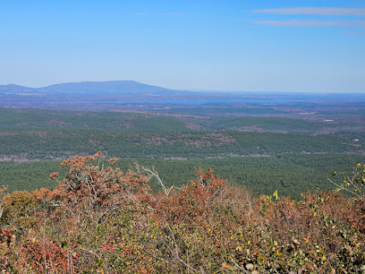
Extreme Work & Play/Mahindra of Oklahoma
Discover outdoor adventure at Mahindra of Oklahoma, your hub for farm equipment and thrilling ATV experiences in Poteau, Oklahoma.

Talimena National Scenic Byway
Experience the stunning landscapes of Talimena National Scenic Byway, a scenic drive through Oklahoma's Ouachita Mountains, perfect for nature lovers and adventure seekers.
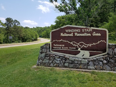
Mountain Country Store
Experience small-town hospitality and local flavors at Mountain Country Store, your go-to grocery and beer stop in Smithville, Oklahoma.

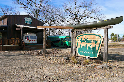
Hochatime
Discover unique gifts and local treasures at Hochatime, a charming gift shop in Hochatown, Oklahoma, perfect for capturing the spirit of your visit.
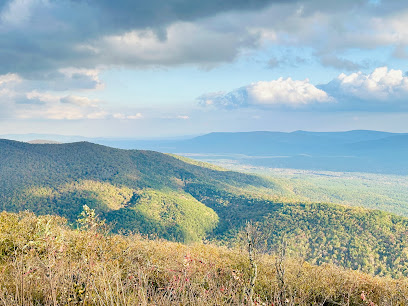
Talimena Scenic Dr
Explore the majestic Talimena Scenic Drive, where nature's beauty unfolds in every turn through the Ouachita Mountains.
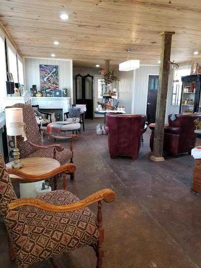
My Crystal Chandelier Coffee House & Gift Shop
Experience the charm of My Crystal Chandelier Coffee House & Gift Shop, where exceptional coffee meets unique gifts in the heart of Talihina.
Queen B Boutique
Explore Queen B Boutique for unique gifts and women's fashion in Poteau, Oklahoma—a treasure trove of style and creativity.

Rich Mountain Country Store
Discover the charm of Rich Mountain Country Store, where local goods meet warm hospitality in the heart of Arkansas.
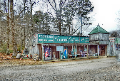
Native Grows Native Herb From Native Land, LLC
Explore locally grown cannabis products at Native Grows Native Herb From Native Land, LLC in Heavener, Oklahoma – a unique experience awaits.

Cabin Daddy Backwoods Emporium
Discover unique gifts and local treasures at Cabin Daddy Backwoods Emporium, Broken Bow's charming gift shop for every traveler.

The Market Alehouse and Mercantile
Explore Mena, Arkansas' hidden gem for craft beer, antiques, and unique boutique finds at The Market Alehouse and Mercantile.

Essential bars & hidden hideouts
Pams Diner
Experience the heartwarming atmosphere and delicious breakfast offerings at Pams Diner in Talihina, where every meal is a delightful journey.
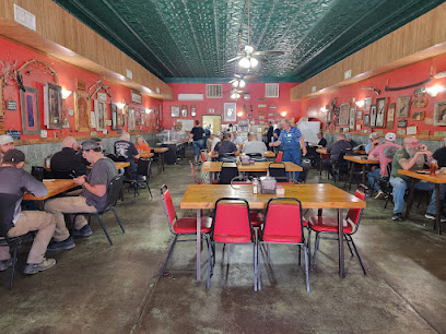
Southern Belle Restaurant
Experience the warmth of American hospitality at Southern Belle Restaurant in Heavener, where comfort food meets delightful service.
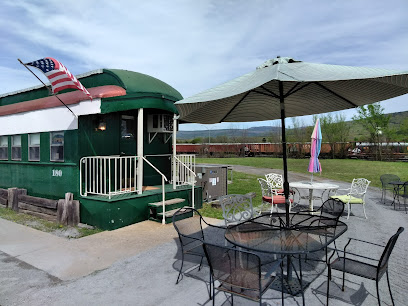
El Rancho Mexican Grill
Experience the vibrant flavors of authentic Mexican cuisine at El Rancho Mexican Grill in Talihina, Oklahoma, where every meal is a celebration of taste.

Sonic Drive-In
Experience the nostalgia of American fast food at Sonic Drive-In, where delicious burgers and shakes await in a retro drive-in setting.

THE OUACHITAS
Experience the best of craft beer, artisanal coffee, and delightful cuisine at The Ouachitas in Mena, Arkansas.

El Celaya
Experience the vibrant flavors of Mexico at El Celaya in Heavener, Oklahoma, where every meal is a celebration of authentic cuisine.
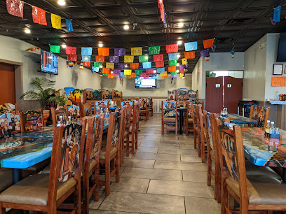
Talimena National Scenic Byway
Discover the breathtaking beauty of Talimena National Scenic Byway, a scenic route through Oklahoma's stunning Ouachita Mountains, ideal for nature lovers and adventurers.
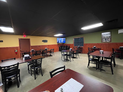
La Magia del Trigo Mexican Restaurant & Bakery
Experience the essence of Mexico at La Magia del Trigo, where authentic flavors meet warm hospitality in Heavener, Oklahoma.

Treats & Treasures
Discover Treats & Treasures in Talihina, OK – a delightful restaurant and candy store offering unique souvenirs, delicious treats, and a charming atmosphere.

Outlaw BBQ
Experience the authentic taste of Southern barbecue at Outlaw BBQ in Talihina, Oklahoma, where flavor and tradition meet.
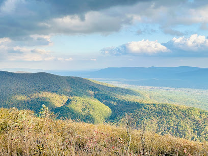
Brandie’s Black Sheep Bar
Discover the vibrant spirit and friendly atmosphere at Brandie’s Black Sheep Bar in Hodgen, Oklahoma – a perfect spot for relaxation and socializing.

Talimena Scenic Dr
Explore Talimena Scenic Drive: A breathtaking journey through Oklahoma's Ouachita Mountains, rich in natural beauty and outdoor adventures.
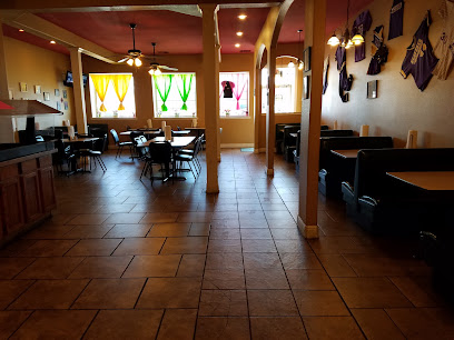
Simple Simon's Pizza
Discover the taste of homemade pizza at Simple Simon's Pizza, a local favorite in Heavener, Oklahoma, offering delicious pies and a family-friendly atmosphere.
The Ranch Restaurant at Talimichi LLC
Explore the authentic flavors of Oklahoma at The Ranch Restaurant, where Southern hospitality meets local cuisine in a charming setting.
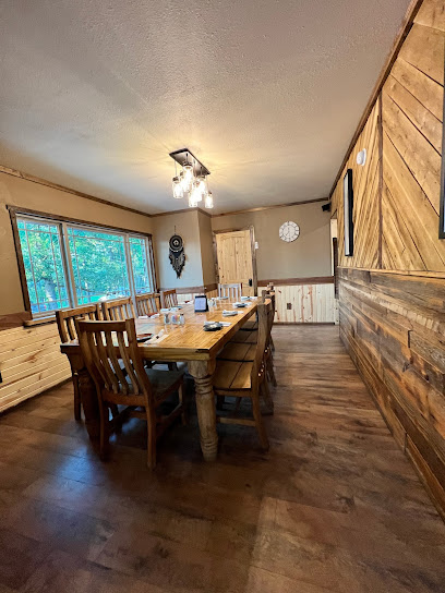
Subway
Discover Subway in Heavener, where fresh ingredients meet tasty sandwiches for an unforgettable meal experience.

Local Phrases about Talimena Scenic Byway
-
- HelloHowdy
[hahw-dee] - GoodbyeSee ya later
[see yah lay-ter] - YesYup
[yuhp] - NoNah
[nah] - Please/You're welcomePlease and thank ya
[pleez and thank yah] - Thank youMuch obliged
[muhch uh-blahy-jed] - Excuse me/SorryPardon me
[par-dn me] - How are you?Howdy
[hahw-dee] - Fine. And you?Fine. And you?
[Fine. And you?] - Do you speak English?Ya speak English?
[yah speak ing-glish?] - I don't understandI ain't catchin' on
[I aint kach-in awn]
- HelloHowdy
-
- I'd like to see the menu, pleaseCan I take a gander at the grub, please
[kan ai tayk uh gan-der at the gruhb pleez] - I don't eat meatI don't eat meat
[i dohnt eet meet] - Cheers!Cheers!
[cheers] - I would like to pay, pleaseI reckon it's time to settle up
[ai rek-uhn its tahym to set-l up]
- I'd like to see the menu, pleaseCan I take a gander at the grub, please
-
- Help!Help!
[help] - Go away!Git!
[git] - Call the Police!Call the Sheriff!
[call the shair-iff] - Call a doctor!Call a doc!
[call a doc] - I'm lostI'm turned around
[aim turnd a-round] - I'm illI ain't feelin' right
[i aint feel-in ryt]
- Help!Help!
-
- I'd like to buy...I reckon I'll take...
[ai rek-uhn ayl tayk] - I'm just lookingI'm just lookin'
[aim just look-in] - How much is it?How much fer that?
[haw much fur that] - That's too expensiveThat's too highfalutin
[thats too high-fuh-loo-tin] - Can you lower the price?Can ya do any better on the price?
[kan yah doh en-ee bet-er awn the pryce]
- I'd like to buy...I reckon I'll take...
-
- What time is it?What time o' day is it?
[what tahym o' day is it] - It's one o'clockIt's one o'clock
[its wun o-klok] - Half past (10)Half past ten
[haf past ten] - MorningMornin'
[morn-in] - AfternoonAfternoon
[after-noon] - EveningEvenin'
[even-in] - YesterdayYesterday
[yess-ter-day] - TodayToday
[toh-day] - TomorrowTomorrow
[toh-mar-ow] - 1One
[wun] - 2Two
[too] - 3Three
[three] - 4Four
[for] - 5Five
[fahyv] - 6Six
[siks] - 7Seven
[sev-uhn] - 8Eight
[ayt] - 9Nine
[nine] - 10Ten
[ten]
- What time is it?What time o' day is it?
-
- Where's a/the...?Where's a/the...?
[Where's a/the...?] - What's the address?What's the address?
[What's the address?] - Can you show me (on the map)?Can you show me (on the map)?
[Can you show me (on the map)?] - When's the next (bus)?When's the next (bus)?
[When's the next (bus)?] - A ticket (to ....)A ticket (to ....)
[A ticket (to ....)]
- Where's a/the...?Where's a/the...?
History of Talimena Scenic Byway
-
Long before European settlers arrived, the Ouachita Mountains, through which the Talimena Scenic Byway runs, were inhabited by Native American tribes such as the Caddo, Osage, and later the Choctaw. These tribes lived in harmony with the rugged landscape, utilizing its rich resources for hunting, fishing, and farming. The area holds significant cultural and spiritual importance for these tribes, which can still be felt today.
-
In the 1830s, the United States government forcibly relocated thousands of Native Americans from their ancestral homelands in the southeastern United States to designated 'Indian Territory' in present-day Oklahoma. The Talimena Scenic Byway traverses parts of this historic Trail of Tears, a grim reminder of the suffering and resilience of the Native American people during this dark chapter in American history.
-
During the Great Depression of the 1930s, the Civilian Conservation Corps (CCC) played a crucial role in the development of the Talimena Scenic Byway. The CCC, a public work relief program, was responsible for building much of the infrastructure that still exists today, including roads, bridges, and rest areas. Their work not only provided much-needed jobs but also helped to open up this beautiful region for tourism and recreation.
-
The Talimena Scenic Byway was officially designated as a National Scenic Byway in 2005. The route, which stretches for 54 miles along the crest of the Ouachita Mountains, was recognized for its outstanding natural beauty, rich history, and cultural significance. This designation has helped to preserve the area and promote it as a destination for travelers seeking both adventure and a connection to the past.
-
The communities along the Talimena Scenic Byway are known for their vibrant cultural festivals and events. These celebrations often include traditional music, dance, and crafts that reflect the diverse heritage of the region's inhabitants. Events such as the Talihina Fall Foliage Festival and the Rich Mountain Rendezvous bring together locals and visitors to celebrate the unique history and culture of the area.
Talimena Scenic Byway Essentials
-
Talimena Scenic Byway is located in southeastern Oklahoma and extends into western Arkansas. The nearest major airport is Fort Smith Regional Airport (FSM) in Arkansas, about 75 miles from the byway. Alternatively, you can fly into Will Rogers World Airport (OKC) in Oklahoma City, which is approximately 190 miles away. From either airport, renting a car is highly recommended as it offers the best flexibility for exploring the byway and its scenic overlooks.
-
The most practical way to explore Talimena Scenic Byway is by car. The byway stretches for 54 miles and includes numerous scenic pullouts and hiking trailheads that are best accessed via your own vehicle. There are no public transportation options directly serving the byway. If you're traveling from nearby cities, renting a car is the most convenient option. For those interested in biking, the byway offers a challenging but rewarding experience.
-
The official currency is the US Dollar (USD). Credit and debit cards are widely accepted, but it's advisable to carry some cash, especially for smaller establishments or rural areas where card payments might not be possible. ATMs are available in nearby towns like Poteau and Talihina, but options may be limited along the byway itself.
-
Talimena Scenic Byway is generally very safe for tourists. However, always take standard precautions such as locking your car and not leaving valuables visible. Be cautious when exploring less populated areas and always inform someone of your plans if you intend to hike. There are no specific high-crime areas targeting tourists, but it's always wise to stay vigilant.
-
In case of an emergency, dial 911 for immediate assistance. The nearest hospitals are in Poteau, Oklahoma, and Mena, Arkansas. It's advisable to have a first aid kit in your vehicle and to carry a charged mobile phone, as cell reception can be spotty in some areas along the byway. Travel insurance that covers medical emergencies is recommended.
-
Fashion: Do dress comfortably and appropriately for outdoor activities. Layering is recommended due to changing weather conditions. Avoid overly revealing clothing, especially in more conservative rural areas. Religion: Respect any local customs, particularly if visiting nearby towns or historical sites. Public Transport: There is no public transport along the byway, so plan accordingly. Greetings: A friendly wave or nod is common in rural areas. Always be polite and respectful. Eating & Drinking: Do try local foods at small diners and cafes in nearby towns. Don’t litter; always carry out what you bring in to preserve the natural beauty of the area.
-
To experience Talimena Scenic Byway like a local, start early in the morning to catch the sunrise at one of the scenic overlooks. Visit during the fall for stunning foliage or spring for blooming wildflowers. Stop by the local visitor centers in Talihina or Mena for insider tips and current road conditions. Don't miss out on local events or festivals in nearby towns, which offer a glimpse into the regional culture and traditions.
Nearby Cities to Talimena Scenic Byway
-
Things To Do in Hot Springs
-
Things To Do in Russellville
-
Things To Do in Texarkana
-
Things To Do in Broken Arrow
-
Things To Do in Rogers
-
Things To Do in Bentonville
-
Things To Do in Tulsa
-
Things To Do in Eureka Springs
-
Things To Do in Conway
-
Things To Do in Little Rock
-
Things To Do in North Little Rock
-
Things To Do in Sherwood
-
Things To Do in Longview
-
Things To Do in Pine Bluff
-
Things To Do in Branson


