From Eve
Know before you go
Hi, I'm Eve. Here are a few practical things to know before exploring Cerro Santa Apolonia.
Local know-how to help you travel smarter and make the most of every moment.
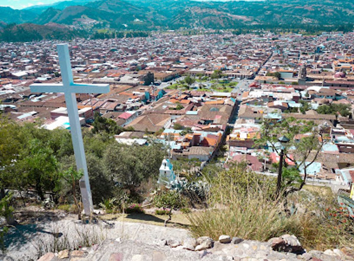
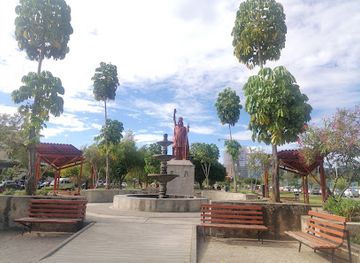
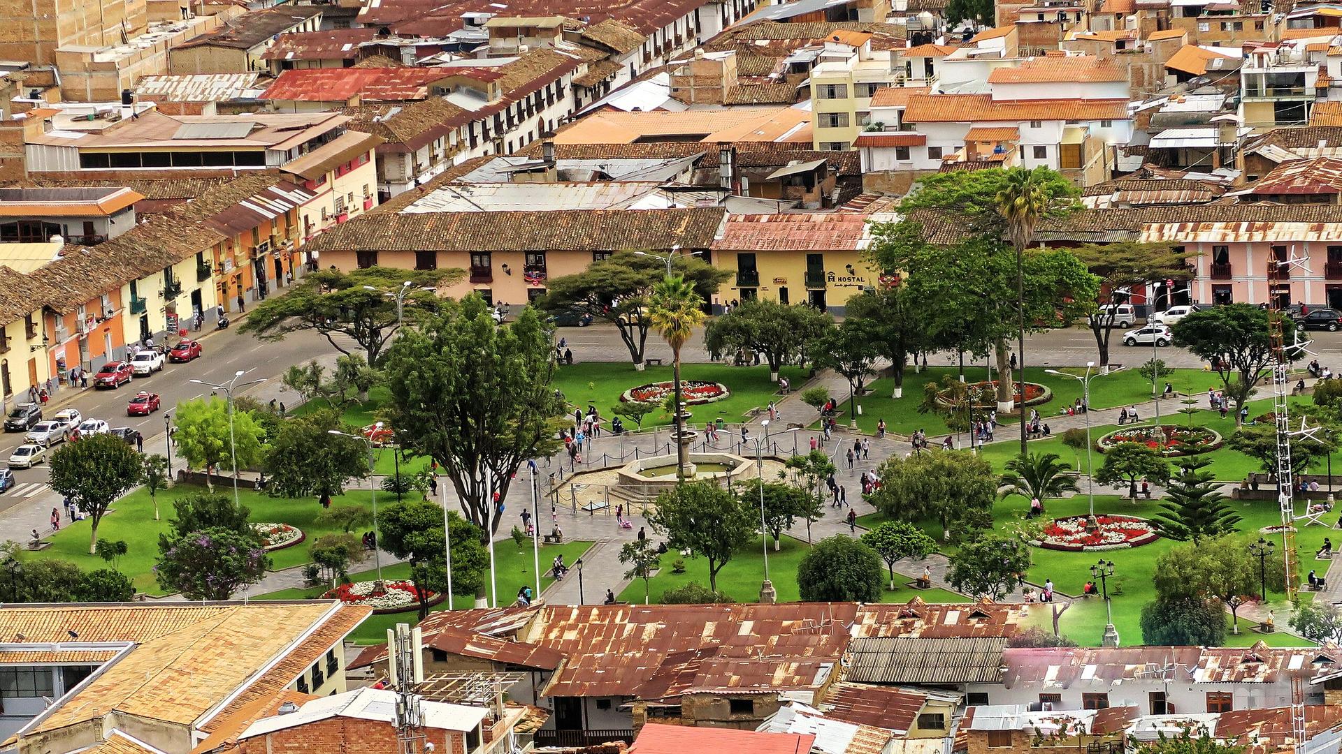
Explore the breathtaking heights of Cerro Santa Apolonia in Cajamarca, Peru, where stunning vistas and rich cultural heritage await every visitor.
Discover the breathtaking views from Cerro Santa Apolonia, a mountain peak in Cajamarca, Peru, where history, culture, and stunning landscapes await you. This iconic location offers an unforgettable experience for tourists seeking natural beauty and local heritage.
Opening times, essentials, and a few local tips gathered into one calmer, easier-to-scan planning section.
Hi, I'm Eve. Here are a few practical things to know before exploring Cerro Santa Apolonia.
Local know-how to help you travel smarter and make the most of every moment.
Car
If you are driving, start on Av. José de la Riva Agüero heading southeast. Continue straight for approximately 1 kilometer until you reach the intersection with Av. Enrique Meiggs. Turn left onto Av. Enrique Meiggs and drive for another 500 meters. You will see signs for Cerro Santa Apolonia. As you approach the attraction, look for parking options on the side of the road or in nearby lots.
Public Transportation
To reach Cerro Santa Apolonia by public transport, head to the nearest bus stop and look for buses heading towards 'Urb Barrio Santa Apolonia.' Board the bus and stay on until you reach the stop closest to the hill, which should take about 15-20 minutes depending on traffic. Once you disembark, follow the signs indicating the path to Cerro Santa Apolonia, which is a short walk from the bus stop.
Walking
If you are within walking distance in Cajamarca, start from the Plaza de Armas. Head east on Jr. Junín for about 800 meters. When you reach the intersection with Av. José de la Riva Agüero, turn left and continue for about 300 meters. You will see the entrance to Cerro Santa Apolonia on your right. The path to the peak is well marked and should take about 15-20 minutes to walk up.
Use Tower Bridge as your starting point for nearby food, family ideas, nightlife, and more local discoveries.

Explore expert travel guides, compare and book tours, experiences, hotels, and more—all from the palm of your hand. Download now for seamless trip planning wherever your wanderlust takes you.
Discover the historical charm, natural beauty, and rich culture of Cajamarca, the hidden gem of the Peruvian Andes, boasting colonial architecture and vibrant festivals.
Tell me more about Cajamarca