

Nyabarongo River Travel Guide - Free Web & App
Your ultimate guide to Nyabarongo River. Discover top landmarks, proposed trips, and local tips. Free on the web or via the Evendo companion app.


Nyabarongo River, Rwanda: explore wetlands, rural landscapes, Kigali’s waterways, river history, birdlife and scenic journeys through the heart of the country.
A River Through Rwanda’s Central Landscapes
The Nyabarongo River is one of Rwanda’s defining waterways, flowing through a broad swath of the country before joining the Akanyaru River to form the Akagera, which continues towards Lake Victoria. Its catchment links the cultivated hills of western and central Rwanda with marshes, wetlands and the expanding urban landscape around Kigali. Rather than a single compact visitor site, the Nyabarongo is a dispersed river destination best understood through its changing landscapes, bridges, wetlands, agricultural valleys and communities along the valley floor.Read more about Nyabarongo River
Wetlands, Water and Wildlife
Exploring the River Corridor
When is the best time to visit Nyabarongo River?
Best: February, July–August · 29–30°C| Month | High (°C) | Rainfall (mm) |
|---|---|---|
| January | 30 | 87 |
| February (best) | 30 | 83 |
| March | 30 | 136 |
| April | 30 | 306 |
| May | 30 | 413 |
| June | 30 | 132 |
| July (best) | 29 | 75 |
| August (best) | 30 | 85 |
| September | 30 | 96 |
| October | 30 | 185 |
| November | 30 | 246 |
| December | 30 | 146 |
Getting to and around Nyabarongo River
How to get there
Transportation
Best attractions in Nyabarongo River
The Nyabarongo’s principal attractions are its changing landscapes rather than a concentrated collection of visitor facilities. Around Kigali, the river and associated wetlands provide views of open water, papyrus margins, cultivated valleys and the capital’s hills, while the Nyabarongo wetlands offer opportunities for carefully guided bird observation and environmental interpretation. South and west of the city, road crossings and elevated valley routes reveal the river’s relationship with densely farmed slopes and rural settlements. The Nyabarongo I hydropower station is an important infrastructure landmark, although access should be confirmed locally rather than assumed. Further along the basin, quieter stretches of river, marsh and agricultural land appeal to visitors interested in photography, geography and everyday Rwandan landscapes. The experience changes significantly between urban edges, engineered crossings and remote wetlands, and the most rewarding visits depend on a driver or guide who can identify lawful access points and explain the river’s role in local livelihoods.
-
Memorial park
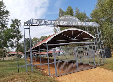
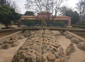
Nyanza Genocide Memorial
Explore the Nyanza Genocide Memorial, a solemn tribute in Kigali reflecting on Rwanda's past and the resilience of its people.
-
Park
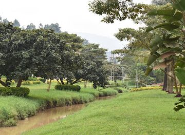
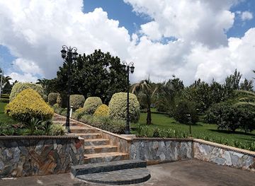
Cultural Green square Park
Explore the lush landscapes and vibrant culture at Cultural Green Square Park, a serene escape in the heart of Kigali, Rwanda.
-
Shopping mall
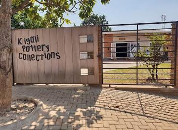
Kigali Pottery Collections, New store Kacyiru
Explore unique handcrafted pottery and artisan creations at Kigali Pottery Collections, a must-visit shopping destination in Kigali, Rwanda.
-
Garden
Panorama Hope Garden
Explore the tranquil beauty of Panorama Hope Garden in Kigali, a serene escape with stunning city views and lush greenery.
Best landmarks in Nyabarongo River
The Nyabarongo River itself is the defining natural landmark, a broad watercourse linking Rwanda’s highland catchments with the Akanyaru and, beyond their confluence, the Akagera system. Its associated wetlands are significant landscape features, combining open channels, marsh vegetation and low-lying agricultural ground near Kigali and farther along the basin. Bridges and valley crossings provide the clearest physical points from which to understand the river’s scale and importance, while the Nyabarongo I hydropower station represents its modern infrastructural role. The surrounding hills are equally important to the river’s character: steeply cultivated slopes descend towards flatter valley floors, showing how water, soil and settlement interact in Rwanda’s densely used countryside. These landmarks are best viewed as parts of a connected watershed rather than isolated monuments.
-
History museum
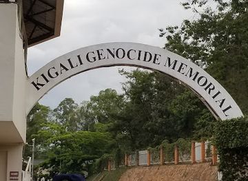
Kigali Genocide Memorial
Discover the poignant history at the Kigali Genocide Memorial, a site of reflection and resilience in the heart of Rwanda.
-
Museum
Kandt House Museum
Explore Rwanda's cultural legacy at Kandt House Museum, a historical gem in Kigali showcasing the nation's rich heritage and evolution.
-
Garden
Heaven Garden Rebero
Experience the tranquility and beauty of Heaven Garden Rebero, a hidden gem in Kigali, perfect for nature lovers and those seeking a peaceful retreat.
-
Historical place museum
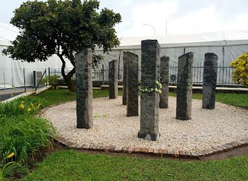
Belgian Peacekeepers Memorial
Explore the Belgian Peacekeepers Memorial in Kigali - a solemn tribute to bravery and a poignant reminder of the quest for peace during the Rwandan Genocide.
Explore Nyabarongo River on the map
Plan your trip on one map. See where the top attractions, landmarks, restaurants and hotels are, and book hotels and experiences in a few clicks.
Best hotels in Nyabarongo River
Best restaurants in Nyabarongo River
There is no distinct restaurant strip along the Nyabarongo River, and eating options are concentrated in Kigali, Muhanga and other district centres rather than beside remote wetlands. In those towns, visitors can find Rwandan staples such as grilled meat, brochettes, beans, plantain, cassava, potatoes, rice and fresh vegetables, alongside restaurants serving broader East African and international food. Kigali offers the widest choice, from informal cafés to established restaurants, while smaller towns generally provide simpler local meals and refreshments. Roadside trading areas may sell fruit, roasted maize or other snacks, but availability varies and hygiene standards should be considered carefully. A packed meal can be practical for a countryside excursion, particularly where the route follows secondary roads. Local food experiences are best understood through the agricultural landscapes around the river, where produce from the hills and wetlands reaches nearby markets and kitchens.
-
Hotel
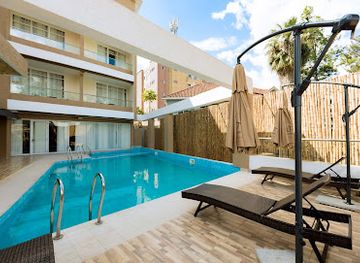
The Hut Restaurant and Boutique Hotel
Discover luxury and fine dining at The Hut Restaurant and Boutique Hotel in Kigali - your gateway to Rwandan hospitality.
-
Restaurant
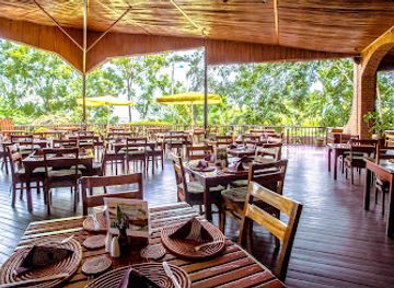
Heaven Restaurant & Boutique Hotel
Discover exquisite Rwandan cuisine and breathtaking views at Heaven Restaurant & Boutique Hotel in Kigali.
-
Restaurant
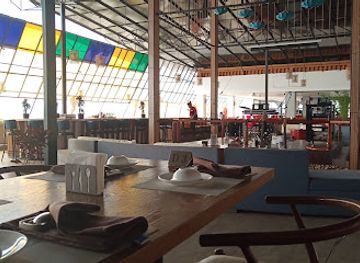
Bamboo Rooftop Restaurant
Experience the best of Chinese cuisine with stunning views at Bamboo Rooftop Restaurant in Kigali—a culinary gem for tourists.
-
Grill
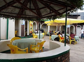
Green Corner
Experience the vibrant flavors of Rwanda at Green Corner Grill in Kigali – where great food meets an inviting atmosphere.
Best bars in Nyabarongo River
Evening entertainment is limited along the rural Nyabarongo corridor itself. After a day beside the river, visitors generally return to Kigali or stay in a district town, where established restaurants, hotel lounges and local bars provide the main opportunities for an evening out. Kigali has the country’s broadest selection of bars, live-music settings and late-opening entertainment, while Muhanga and smaller centres offer a quieter social atmosphere centred on neighbourhood bars and hospitality venues rather than dedicated nightlife districts. In villages near the river, evenings are primarily community-based and commercial choices may be sparse. Visitors should not expect riverside clubs or organised entertainment at wetland sites, and should arrange transport back to their accommodation before travelling into less populated areas.
-
Bar
Rosty Club
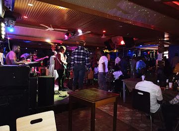
Experience the vibrant nightlife of Kigali at Rosty Club, where live music and delicious cuisine meet in a lively atmosphere.
-
Restaurant
Rooftop Rendezvous
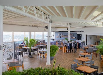
Experience Kigali's breathtaking views and culinary delights at Rooftop Rendezvous, where local flavors meet a stunning atmosphere.
-
Bar
Rio de Gikondo Sport Bar & Accomodation
Experience the vibrant heart of Kigali at Rio de Gikondo Sport Bar & Accommodation, where local culture and friendly vibes come together.
-
Bar
Bar Nyenyeri
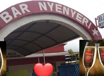
Experience the vibrant nightlife of Kigali at Bar Nyenyeri, where good drinks and great company await in an inviting atmosphere.
Best nightclubs in Nyabarongo River
Evening entertainment is limited along the rural Nyabarongo corridor itself. After a day beside the river, visitors generally return to Kigali or stay in a district town, where established restaurants, hotel lounges and local bars provide the main opportunities for an evening out. Kigali has the country’s broadest selection of bars, live-music settings and late-opening entertainment, while Muhanga and smaller centres offer a quieter social atmosphere centred on neighbourhood bars and hospitality venues rather than dedicated nightlife districts. In villages near the river, evenings are primarily community-based and commercial choices may be sparse. Visitors should not expect riverside clubs or organised entertainment at wetland sites, and should arrange transport back to their accommodation before travelling into less populated areas.
-
Night club
Cadillac Night Club
Unleash the energy of Kigali's nightlife at Cadillac Night Club, where vibrant music and dance create unforgettable memories.
-
Lounge
Fame Lounge Chicken Mignone
Discover the vibrant flavors of Kigali at Fame Lounge Chicken Mignone, where exceptional chicken dishes and lively ambiance await.
-
Bar
Bonk bar and night club
Experience the energy of Kigali's nightlife at Bonk Bar and Night Club, where music, drinks, and dancing come together in perfect harmony.
-
Disco club
Bauhaus
Experience Kigali's nightlife at Bauhaus, where every night is a celebration of music, dance, and vibrant culture.

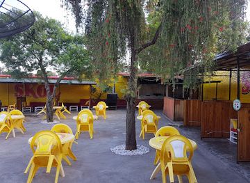


Best shops in Nyabarongo River
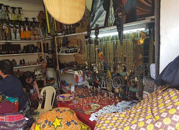
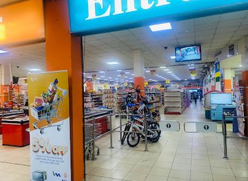
Shopping facilities are modest beside the Nyabarongo and become more dependable in Kigali, Muhanga and other district towns. Visitors may find fresh produce, snacks and everyday goods in local markets, while Kigali provides the strongest selection of Rwandan crafts, textiles, artwork and locally produced food items. Agricultural products from the hills and wetlands are traded through settlements along the basin, although market days and stock vary between communities. Traditional woven goods, baskets and other craft products can be associated with Rwanda more broadly, but visitors should buy from identifiable local makers or reputable shops when seeking provenance. There are few reasons to expect specialist riverside retail, souvenir stalls or permanent craft centres at remote crossings, so shopping is best combined with a town visit rather than left until an excursion into the wetlands.
-
Souvenir store
Nziza Crafts
Discover the vibrant essence of Rwanda through unique handcrafted souvenirs at Nziza Crafts in Kigali.
-
E-commerce service
Roots Rwanda Online Shopping
Discover the best of Rwandan e-commerce at Roots Rwanda, your one-stop online shopping destination for quality products.
-
Boutique
Made in Rwanda Shop
Explore the vibrant craftsmanship of Rwanda at Made in Rwanda Shop, where every purchase supports local artisans and sustainable tourism.
-
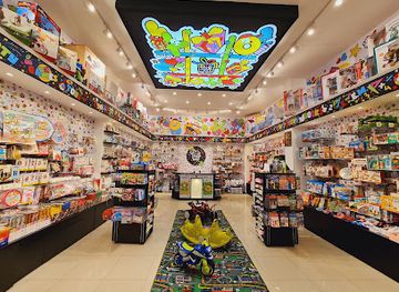
Gift shop
Tic-Tac-Toe (Gift Shop)
Explore Kigali's Tic-Tac-Toe Gift Shop for unique Rwandan crafts and souvenirs that embody the spirit of the local culture.

Get your free copy of our complete guide to Nyabarongo River, delivered straight to you.
Everything on this page, from attractions and restaurants to essentials and local phrases, in one PDF you can read offline, print or share.
Already have an account? Sign in
Your Nyabarongo River guide is ready.
We'll send it to · Not you? Sign out

Getting your guide ready…
We are putting together a fresh copy of the Nyabarongo River guide. This can take up to a minute.
This can take a few moments. If your browser asks, choose Allow so the download can start. You'll find the guide in your Downloads folder.
Nothing happened? Download it again
Sorry, the guide is taking longer than usual. Please try again in a minute, or get it by email instead.
Nyabarongo River essentials
Currency and Payment
Safety
Emergency Situations
Do's and Don'ts
Local Tips
From Eve
Local phrases worth knowing
You don't need to get them perfect. A few words go a long way, and locals appreciate the effort.
Basics
| English | Local | Say it |
|---|---|---|
| Hello | Muraho | [moo-rah-ho] |
| Goodbye | Murabeho | [moo-rah-beh-ho] |
| Yes | Yego | [ye-go] |
| No | Oya | [oy-ah] |
| Please/You're welcome | Mwakoze | [mwa-ko-zeh] |
| Thank you | Murakoze | [moo-rah-ko-zeh] |
| Excuse me/Sorry | Nshuti | [n-shoo-tee] |
| How are you? | Amakuru? | [ah-ma-koo-roo] |
| Fine. And you? | Ni meza. Na wewe? | [nee meh-zah. nah weh-weh] |
| Do you speak English? | Wavuga iki? | [wah-voo-gah ee-kee] |
| I don't understand | Sinzi | [seen-zee] |
Eating & Drinking
| English | Local | Say it |
|---|---|---|
| I'd like to see the menu, please | Nifite menu, kubanjiriza. | [nee-fee-teh meh-noo, koo-ban-jee-ree-zah] |
| I don't eat meat | Simera ibiryo by'umuhinzi | [see-meh-rah ee-beer-yo bee-oo-moo-heen-zee] |
| Cheers! | Amasimbi! | [ah-mah-seem-bee] |
| I would like to pay, please | Nifite ibiribwa, kubanjiriza. | [nee-fee-teh ee-bee-ree-bwah, koo-ban-jee-ree-zah] |
Emergencies
| English | Local | Say it |
|---|---|---|
| Help! | Urameze! | [oo-rah-meh-zeh] |
| Go away! | Genda! | [g-en-dah] |
| Call the Police! | Siga polisi! | [see-gah poh-lee-see] |
| Call a doctor! | Siga dokotore! | [see-gah doh-koh-toh-reh] |
| I'm lost | Ndi numvwa | [ndee noom-vwah] |
| I'm ill | Ndi mwiru | [ndee mwee-roo] |
Shopping
| English | Local | Say it |
|---|---|---|
| I'd like to buy... | Nifite... | [nee-fee-teh] |
| I'm just looking | Nshaka kuba ndakora | [n-shah-kah koo-bah n-dah-kor-ah] |
| How much is it? | Ni iyihe? | [nee ee-yee-heh] |
| That's too expensive | Iyo irimo | [ee-yo ee-ree-moh] |
| Can you lower the price? | Wakoresheje igitabo? | [wah-koh-reh-sheh-jeh ee-gi-tah-bo] |
Time & Numbers
| English | Local | Say it |
|---|---|---|
| What time is it? | Saa ngapi? | [sah n-gah-pee] |
| It's one o'clock | Ni saa ya rimwe | [nee sah yah reem-weh] |
| Half past (10) | Saa tanu na rimwe | [sah tah-noo nah reem-weh] |
| Morning | Igisibo | [ee-gee-see-bo] |
| Afternoon | Icyumweru | [ee-choom-weh-roo] |
| Evening | Ikuzimu | [ee-koo-zee-moo] |
| Yesterday | Ejo | [eh-joh] |
| Today | Ejo | [eh-joh] |
| Tomorrow | Ejo | [eh-joh] |
| 1 | Rimwe | [reem-weh] |
| 2 | Kabiri | [kah-bee-ree] |
| 3 | Gatatu | [gah-tah-too] |
| 4 | Kane | [kah-neh] |
| 5 | Gatanu | [gah-tah-noo] |
| 6 | Gatandatu | [gah-tahn-dah-too] |
| 7 | Kumana | [koo-mah-nah] |
| 8 | Cumwe | [choom-weh] |
| 9 | Icyenda | [ee-chee-en-dah] |
| 10 | Mumwe | [moo-mweh] |
Transport & Directions
| English | Local | Say it |
|---|---|---|
| Where's a/the...? | Iki? | [ee-kee] |
| What's the address? | Aho ni aho? | [ah-hoh nee ah-hoh] |
| Can you show me (on the map)? | Wakoresheje (kuri murugo)? | [wah-koh-reh-sheh-jeh (koo-ree moo-roo-go)] |
| When's the next (bus)? | Ni uko iyi (bus) isigaye? | [nee oo-koh ee-yee (boos) ee-see-gah-yeah] |
| A ticket (to ....) | Igihitabo (ku ....) | [ee-gi-hee-tah-bo (koo)] |
History of Nyabarongo River
A River Shaped by the Highlands
The Nyabarongo belongs to the upper Nile drainage system. Its waters gather from Rwanda’s highland catchments and flow through valleys and wetlands before the river joins the Akanyaru to form the Akagera. This geographical relationship has long made the river more than a scenic feature: it is part of the drainage framework connecting Rwanda with the wider Great Lakes and Nile regions. The surrounding hills, valleys and marshes have been continually altered by erosion, cultivation and seasonal water movement, producing the distinctive mixture of steeply settled slopes and low-lying wetland agriculture seen along parts of its course.
Settlement and the Nyabarongo Basin
Human settlement in the Nyabarongo basin developed alongside Rwanda’s wider agricultural society, in which hillside cultivation and valley-floor wetlands supported dense rural populations. The river corridor lies within an area historically connected to the kingdoms and local political communities of central and southern Rwanda, although the river itself did not constitute a single political territory. Wetlands provided water, fertile soils and materials such as papyrus, while bridges and valley routes helped connect communities across difficult terrain. Later administrative boundaries divided the basin among several districts, leaving the Nyabarongo as a geographical link between them.
Colonial Roads and Changing Land Use
During the colonial period, transport routes, administrative divisions and commercial agriculture reshaped movement through the river valleys. Roads and bridges strengthened connections between Kigali and southern and western parts of the country, while wetland cultivation became increasingly important as population pressure grew. The Nyabarongo’s valleys remained productive but environmentally sensitive spaces, vulnerable to flooding, soil erosion and the loss of natural wetland vegetation. These long-term pressures continued after independence as Rwanda sought to support a rapidly growing population while managing limited agricultural land.
Hydropower and Environmental Management
In the modern period, the Nyabarongo has become associated with national infrastructure as well as agriculture and water management. The Nyabarongo I hydropower project, commissioned in the 2010s, formed part of Rwanda’s effort to expand domestic electricity generation and stands as a significant engineering landmark in the basin. At the same time, wetland restoration, flood management and protection of water quality have become increasingly important, particularly around Kigali and other settled areas. Contemporary conservation work reflects the river’s dual role as an ecological system and a resource supporting cities, farms and industry.
Nyabarongo River in Photos
Browse through our photo collection highlighting the charm and character of the destination.
Cities in Nyabarongo River
The towns and cities of Nyabarongo River, and the easiest places to base yourself.

Swipe for more cities
Neighbouring destination travel guides
The closest destinations to Nyabarongo River, if you have time for more than one.
-

-

-

-

-


Swipe for more destinations
Explore more

Explore more of Kigali Province
Kigali Province combines Rwanda’s hillside capital, genocide memorials, contemporary art, green spaces, local markets and panoramic urban viewpoints.
Explore Kigali Province
Explore more of Rwanda
Discover Rwanda: A land of rolling hills, rich culture, and unforgettable wildlife experiences. From mountain gorillas to serene lakes, adventure awaits in every corner.
Explore Rwanda