Katusu Konda කටුසු කොන්ද, Knuckles Mountain Range Travel Guide
Discover Katusu Konda: An idyllic hiking haven in the Hanthana mountain range, perfect for nature enthusiasts and adventure seekers alike.
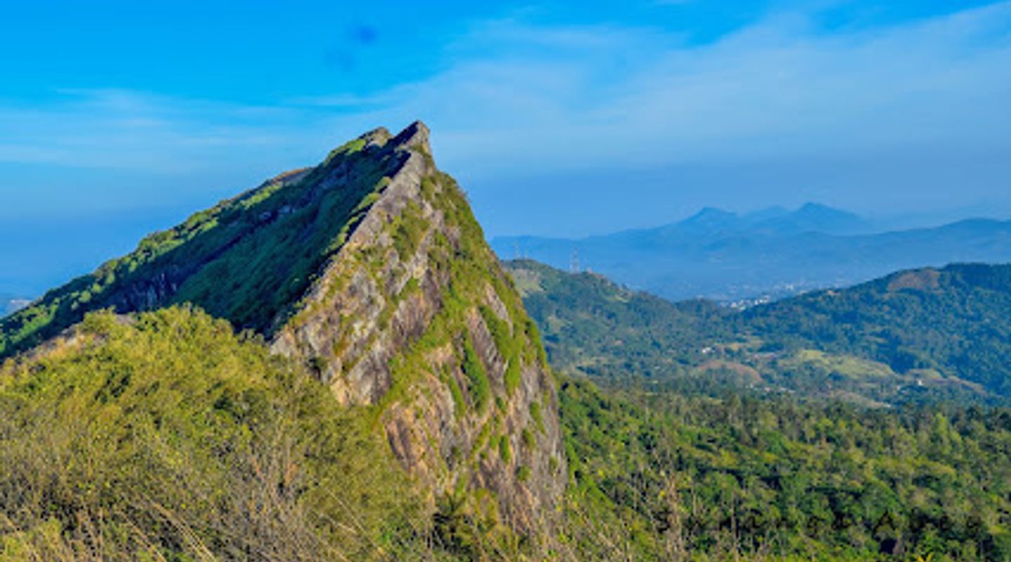
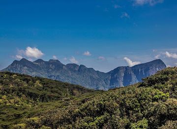
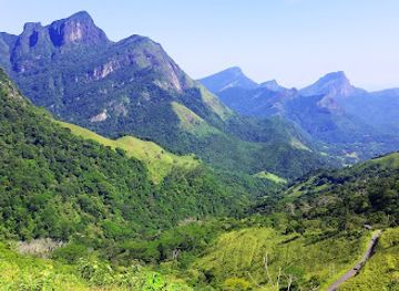
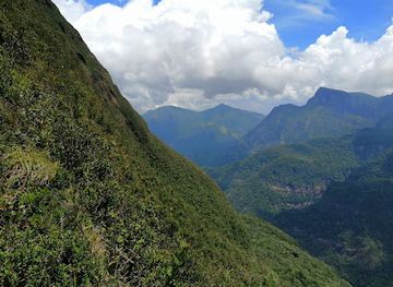
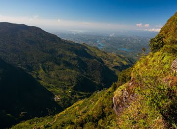
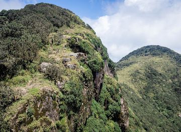
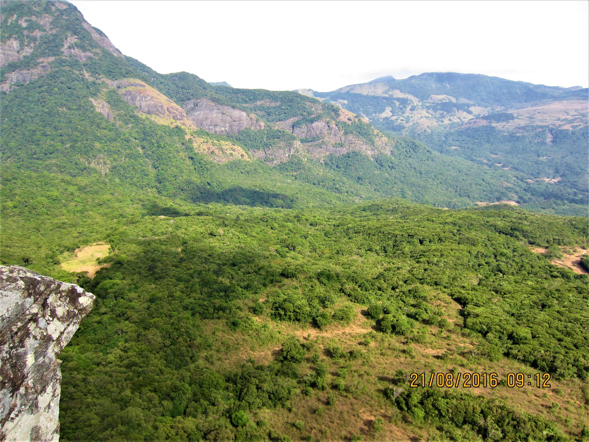
Katusu Konda, nestled within the stunning Hanthana mountain range, beckons adventure enthusiasts and nature lovers alike. With breathtaking vistas, diverse flora and fauna, and invigorating trails, this hiking area offers a perfect escape into Sri Lanka's natural beauty. Perfect for both seasoned hikers and casual walkers, Katusu Konda promises an unforgettable experience surrounded by pristine landscapes.
A brief summary to Katusu Konda කටුසු කොන්ද
- 6JHQ+9C7, Sarasavigama, LK

Know before you go
Hi, I'm Eve. Here are a few practical things to know before exploring Katusu Konda කටුසු කොන්ද.
- Visit early in the morning to avoid the heat and enjoy peaceful trails.
- Bring a camera to capture the stunning panoramic views from the summit.
- Wear sturdy hiking shoes for better grip on the varying trail conditions.
- Pack enough water and snacks to keep your energy up during the hike.
- Keep an eye out for local wildlife, particularly during the quieter hours.
Do you manage this location?
Take control to get all the benefits, like improved information, better appearance, and stronger visibility across AI-powered discovery. Learn more about listing your business on Evendo
Activate your presenceOther nearby places you may find interesting
The closest places of the same kind, if this one is not quite what you had in mind.
Explore Katusu Konda කටුසු කොන්ද on the Map
A handpicked selection of must-see spots near Katusu Konda කටුසු කොන්ද, mapped for you.
Getting There
-
Car
If you are driving, start from Kandy. Head southeast on the A26 road towards Matale. After approximately 23 km, turn left onto the B6 road towards the Knuckles Mountain Range. Continue for about 15 km until you reach the village of Sarasavigama. Look for the coordinates 6JHQ+9C7 on Google Maps to find the exact starting point for your hike to Katusu Konda. Ensure your vehicle is suitable for rough terrain, as the last stretch may involve unpaved roads.
-
Public Transportation
From Kandy, take a bus to Matale. Buses leave regularly from the Kandy bus station and the journey takes about 1 hour. Once in Matale, transfer to a local bus heading towards the Knuckles Mountain Range. Inform the driver to drop you off in Sarasavigama, which is the nearest village to Katusu Konda. The total cost for this journey should be around 200 LKR. After getting off, follow the directions to the coordinates 6JHQ+9C7 for the starting point of your hike.
-
Hiking
Once you reach the coordinates 6JHQ+9C7 in Sarasavigama, prepare for the hike. Ensure you are equipped with proper hiking gear and enough water. The hike to Katusu Konda will take approximately 2-3 hours depending on your fitness level. Follow the marked trails, and consider hiring a local guide to enhance your experience and ensure safety.
Discover more about Katusu Konda කටුසු කොන්ද
More to explore near Katusu Konda කටුසු කොන්ද













Your all‑in‑one travel companion app
Explore expert travel guides, compare and book tours, experiences, hotels, and more—all from the palm of your hand. Download now for seamless trip planning wherever your wanderlust takes you.


Explore More of Knuckles Mountain Range
Looking beyond Katusu Konda කටුසු කොන්ද? Discover Knuckles Mountain Range for broader travel guides, local hot-spots, and regional highlights.
Explore Knuckles Mountain Range