
Mount St. Helens Sign: A Tribute to Nature's Power
Explore the Mount St. Helens Sign, a historical landmark marking the site of one of nature's most powerful volcanic eruptions in Washington State.
The Mount St. Helens Sign stands as a powerful reminder of nature's fury and beauty. Situated along Spirit Lake Highway in Toutle, Washington, this historical landmark invites tourists to reflect on the volcanic eruption that reshaped the landscape in 1980. Visitors can enjoy breathtaking views of the surrounding area and gain insights into the geological wonders of the Pacific Northwest.
A brief summary to Mount St Helen Sign
- Spirit Lake Hwy, Toutle, Washington, 98649, US
Local tips
- Visit during early morning or late afternoon for the best light for photography.
- Bring binoculars to spot wildlife in the surrounding areas.
- Check local weather conditions before visiting as they can change rapidly.
- Take time to read the informational signs to fully appreciate the history of the area.
Getting There
-
Car
From the center of Mount St. Helens National Volcanic Monument, head northeast on Highway 504, also known as Spirit Lake Highway. Continue on this road for about 12 miles. Look for the Mount St Helen Sign on your right side at the coordinates 46.2943857, -122.3421192. There is a small pull-off area where you can safely park your car to get out and take photos with the sign.
-
Public Transportation
Take a public bus service that operates in the area, such as the Cowlitz Transit service. Board a bus that heads towards Toutle. You will need to check the bus schedule for specific routes as services may vary. Once you get to the closest bus stop near Toutle, which is along Spirit Lake Highway, you may need to walk about 1 mile to reach the Mount St Helen Sign located at 46.2943857, -122.3421192. Make sure to wear comfortable walking shoes and check local maps for sidewalks to ensure a safe walk.
-
Bicycle
If you're feeling adventurous and want to enjoy the scenery, consider biking from a nearby location within the Mount St. Helens National Volcanic Monument. Start on the trail that connects to Spirit Lake Highway. Ride along this highway for approximately 12 miles. Be cautious of traffic, as this highway can be busy. The Mount St Helen Sign will be on your right at the coordinates 46.2943857, -122.3421192. Don’t forget your helmet and ensure your bike is in good working condition.
Discover more about Mount St Helen Sign
Iconic landmarks you can’t miss
Miners Car Interpretive Site
20.5 km
Explore the Miners Car Interpretive Site in Cougar, WA - A Historical Landmark Highlighting the Rich Mining Heritage of the Pacific Northwest.

Yale Bridge
37.2 km
Discover Yale Bridge in Ariel, WA: A breathtaking suspension bridge offering spectacular views, perfect for nature lovers and photography enthusiasts.
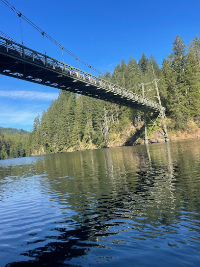
Rashford spur historic logging camp
37.6 km
Discover the rich history of the Rashford Spur Logging Camp in Amboy, Washington, and immerse yourself in the stories of the Pacific Northwest's logging heritage.

Interpretive Site: Layser Cave
41.3 km
Discover Layser Cave, a historical landmark in Washington that offers a unique blend of geological wonders and rich local history.
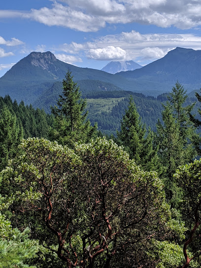
North Clark Historical Museum
43.6 km
Discover the captivating history of Clark County at the North Clark Historical Museum in Amboy, a treasure trove of stories and artifacts.
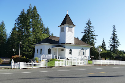
Pomeroy Farm
51.2 km
Discover a historical gem in Yacolt, WA, where nature and education combine at Pomeroy Farm, featuring a tea house, pumpkin patch, and scenic farm tours.
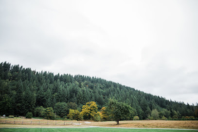
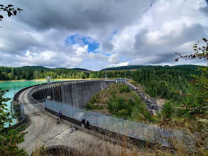
Alder Dam Viewpoint
56.4 km
Discover the serene beauty of Alder Dam Viewpoint, a historical landmark with breathtaking views of Alder Lake and surrounding nature.
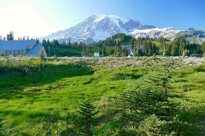
Mount Rainier National Park Lodging
58.4 km
Explore the breathtaking beauty of Mount Rainier National Park, where towering peaks and vibrant wildflowers create unforgettable adventures in nature.
Columbia Gorge Museum
75.9 km
Discover the captivating history and stunning natural beauty at the Columbia Gorge Museum in Stevenson, WA, a gem for tourists and history enthusiasts alike.

Beacon Rock State Park
76.0 km
Explore Beacon Rock State Park, a stunning natural wonder in Washington, with breathtaking views, diverse wildlife, and unforgettable outdoor adventures.
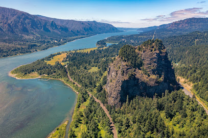
Columbia River Gorge
76.8 km
Explore the breathtaking Columbia River Gorge, a natural wonder featuring stunning waterfalls, scenic hikes, and rich cultural history in Oregon's majestic landscape.
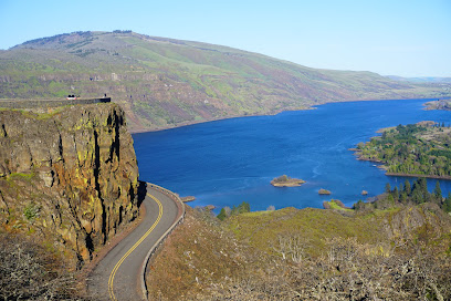
Columbia Gorge Sternwheeler
77.5 km
Discover the breathtaking landscapes of the Columbia River Gorge aboard the Columbia Gorge Sternwheeler, an unforgettable cruise experience.
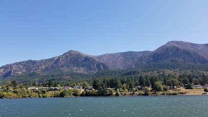
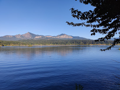
Cascade Locks Marine Park
77.6 km
Explore the stunning Cascade Locks Marine Park, a perfect blend of nature, adventure, and rich history in the heart of the Columbia River Gorge.
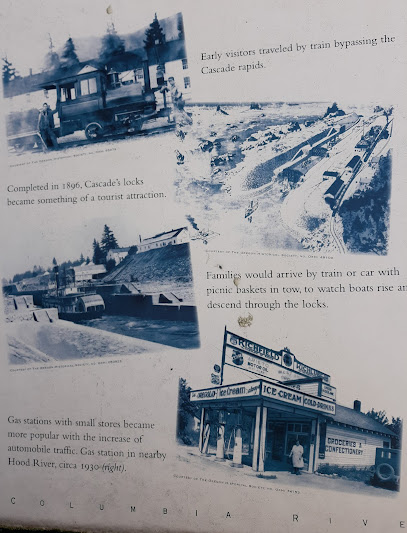
Historical Marker
77.7 km
Discover the rich history of Cascade Locks at the Historical Marker, a key attraction for history enthusiasts and nature lovers in Oregon.
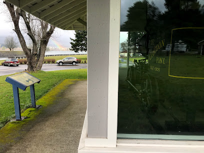
The Oregon Pony
77.7 km
Discover The Oregon Pony, a historical landmark in Cascade Locks, Oregon, where rich heritage meets stunning scenery in the Pacific Northwest.
Unmissable attractions to see
Elk Rock Viewpoint
0.1 km
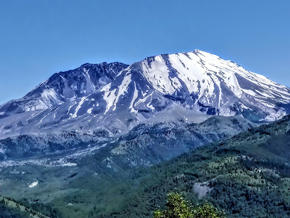
Discover the stunning vistas of Elk Rock Viewpoint, a breathtaking destination in Toutle, Washington, ideal for nature lovers and photographers.
Castle Lake Viewpoint
3.3 km
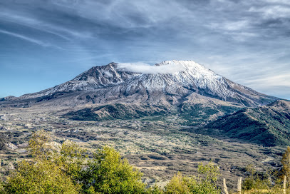
Discover the stunning beauty of Castle Lake Viewpoint, where breathtaking views of Spirit Lake and Mount St. Helens await your visit.
Hummocks Trail #229
5.6 km
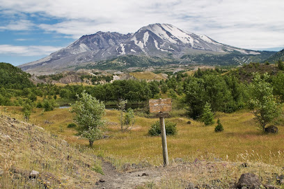
Explore the Hummocks Trail #229 in Toutle, Washington: A breathtaking hiking experience through diverse landscapes and stunning views of Mount St. Helens.
Coldwater Ridge Visitor Center
5.8 km
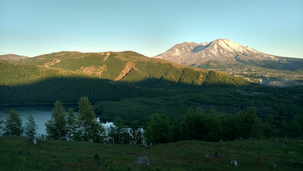
Explore the Coldwater Ridge Visitor Center, your gateway to Mount St. Helens, with engaging exhibits, stunning views, and outdoor adventure.
Coldwater Lake
6.9 km
Experience the tranquility of Coldwater Lake in Washington, a perfect getaway for nature lovers and adventure seekers alike, surrounded by stunning landscapes.
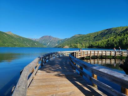
Hoffstadt Creek Bridge
8.2 km
Explore Hoffstadt Creek Bridge, a stunning architectural gem offering breathtaking views and a connection to Washington's natural beauty.
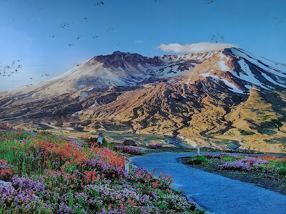
Loowit Viewpoint
8.9 km
Discover the stunning views of Mount St. Helens at Loowit Viewpoint, a must-visit destination for nature lovers and photographers in Washington.
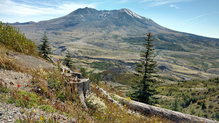
Johnston Ridge Observatory
9.8 km
Discover breathtaking views and volcanic history at Johnston Ridge Observatory, a must-visit destination in Washington State's stunning landscape.
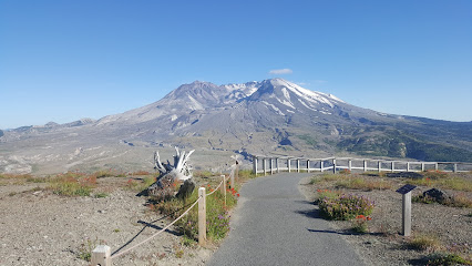
Mount Saint Helens National Volcanic Monument
9.9 km
Explore the captivating beauty and geological significance of Mount Saint Helens National Volcanic Monument, a must-visit destination in Washington.
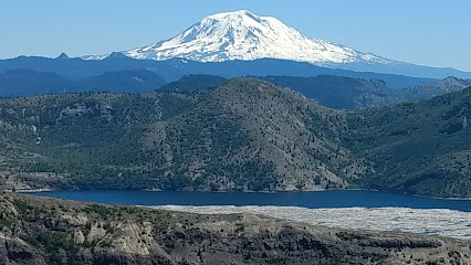
Mount St. Helens National Volcanic Monument
12.7 km
Explore the stunning landscapes and geological wonders of Mount St. Helens National Volcanic Monument, a testament to nature's power and resilience.
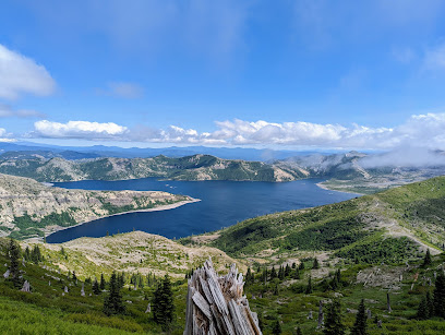
Harry's Ridge
13.1 km
Explore Harry's Ridge: A Scenic Hiking Paradise in Cougar, Washington with Stunning Views and Diverse Trails for All Skill Levels.
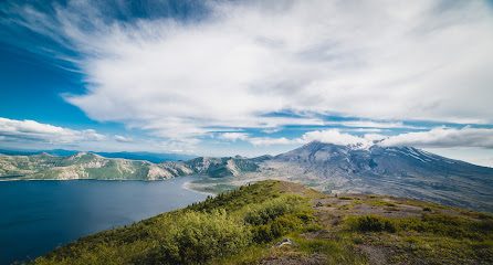
Mt St Helens
16.1 km
Experience the awe-inspiring beauty and power of Mt. St. Helens, a testament to nature's resilience and volcanic majesty in Washington State.
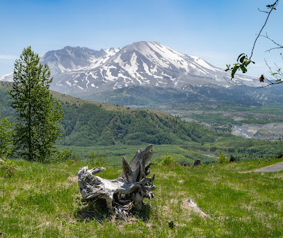
Mt. Saint Helens
16.1 km
Discover the breathtaking beauty and geological history of Mt. Saint Helens, an archaeological treasure in Washington State's stunning wilderness.
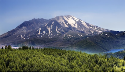
Windy Ridge Viewpoint
16.5 km
Discover the stunning vistas of Mount St. Helens at Windy Ridge Viewpoint, a scenic spot that promises awe-inspiring views and unforgettable hiking experiences.
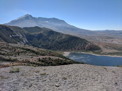
Ape Canyon
19.7 km
Explore the stunning Ape Canyon in Washington – a breathtaking ravine filled with scenic trails, rich wildlife, and stunning natural beauty.
Essential places to dine
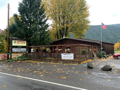
Cougar Bar & Grill
27.2 km
Experience delicious grilled delights at Cougar Bar & Grill, where local flavors meet stunning natural beauty in Washington.
Lone Fir Cafe
27.2 km
Experience delightful dining at Lone Fir Cafe near Mount St. Helens with family-friendly meals and stunning river views.
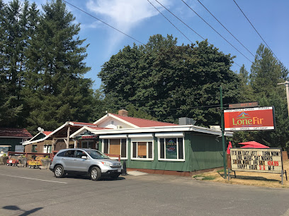
Lone Fir Resort
27.2 km
Experience the beauty and adventure at Lone Fir Resort in Cougar, WA – your perfect escape into nature's embrace.
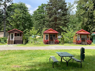
Big Bottom Roadhouse
39.8 km
Experience the best grilled delights at Big Bottom Roadhouse in Randle, WA - where great food meets warm hospitality.

Tall Timber Restaurant Lounge
41.2 km
Discover the flavors of America at Tall Timber Restaurant Lounge in Randle – your perfect retreat for delicious food and cozy accommodations.
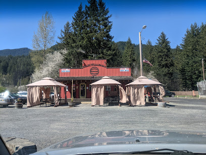
Mt. Rainier Railroad Dining Co.
53.6 km
Discover delicious American cuisine at Mt. Rainier Railroad Dining Co., where scenic views meet delightful flavors near Mount Rainier.
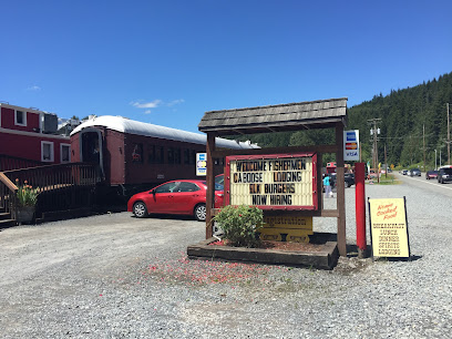
Rainier BaseCamp Bar & Grill
56.9 km
Discover delightful flavors at Rainier BaseCamp Bar & Grill - your perfect dining stop near Mount Rainier National Park.
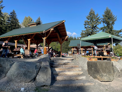
Paradise Village Hotel & Restaurant
57.3 km
Experience unparalleled comfort and natural beauty at Paradise Village Hotel & Restaurant near Mount Rainier National Park.

Copper Creek Inn Restaurant & Lodging
59.0 km
Discover Copper Creek Inn: A cozy retreat offering delicious dining and log cabin lodging near stunning Mount Rainier National Park.
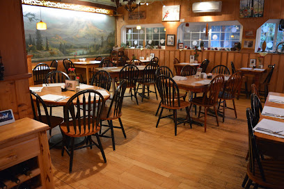
Wildberry Restaurant
59.5 km
Experience the fusion of Nepalese and American cuisine at Wildberry Restaurant near Mount Rainier National Park.
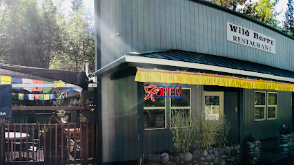
Cliff Droppers
61.7 km
Discover mouthwatering burgers at Cliff Droppers in Packwood, WA – where flavor meets friendly service amidst stunning landscapes.

Blue Spruce Saloon And Diner
62.1 km
Experience local flavors at Blue Spruce Saloon & Diner in Packwood – where hearty meals meet friendly service amidst stunning natural beauty.

Cruiser’s Pizza
62.2 km
Discover Cruiser’s Pizza in Packwood - where delicious handcrafted pizzas meet warm hospitality amidst stunning natural beauty.

National Park Inn Dining Room
64.8 km
Experience delightful American cuisine surrounded by breathtaking landscapes at Mount Rainier's National Park Inn Dining Room.
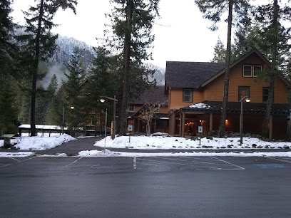
Paradise Inn Dining Room
71.9 km
Discover culinary delights at Paradise Inn Dining Room while soaking in breathtaking views of Mount Rainier National Park.
Markets, malls and hidden boutiques
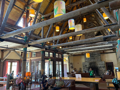
Mt St Helens Forest Learning Center
4.4 km
Explore the Mt. St. Helens Forest Learning Center: Uncover the science, beauty, and recovery of one of nature's most iconic landscapes.
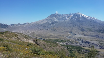
Fischer's Market
39.8 km
Experience local flavors and convenience at Fischer's Market in Randle, WA - a must-visit grocery store for every traveler.
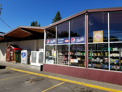
Elbe Market Country Store
53.5 km
Experience local flavors and unique souvenirs at Elbe Market Country Store, a charming stop for every traveler in Washington.

Whittaker Mountaineering
56.8 km
Explore the great outdoors with top-notch equipment and expert advice at Whittaker Mountaineering in Ashford, WA.
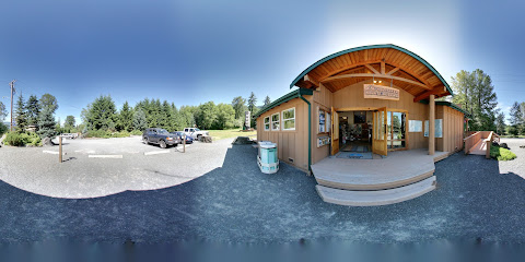
Ashford Creek Pottery
56.9 km
Explore the enchanting Ashford Creek Pottery, a unique art gallery and pottery store in Ashford, WA, showcasing local craftsmanship and creativity.
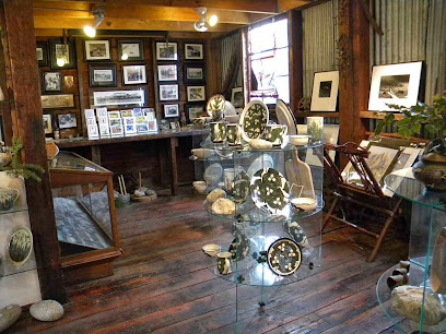
RailCycle Mt. Rainier
57.3 km
Discover the unique blend of outdoor adventure and shopping at RailCycle Mt. Rainier, where scenic trails meet charming gifts.

Longmire General Store & Mt. Rainier Natl. Park Gift Shop
64.7 km
Explore the beauty of Mount Rainier and discover unique souvenirs and snacks at the Longmire General Store, your ultimate park companion.

Carson General Store
74.7 km
Explore Carson General Store: Your one-stop shop for local treasures, snacks, and essentials in the heart of Washington's breathtaking landscapes.

Bloomsbury of Kanaka Creek Farm
75.6 km
Experience the beauty of Bloomsbury of Kanaka Creek Farm, a florist and women's clothing store in Stevenson, WA, where nature meets style.

Mount Rainier
76.3 km
Discover the awe-inspiring beauty of Mount Rainier, an active volcano and national park offering stunning landscapes and outdoor adventures in Washington.
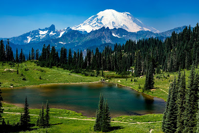
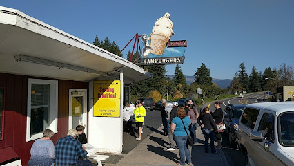
Eastwind Drive-In
77.8 km
Experience the perfect blend of classic American fast food and irresistible ice cream at Eastwind Drive-In in scenic Cascade Locks.
Bike the Gorge
78.0 km
Explore the stunning Columbia River Gorge with Bike the Gorge - your gateway to cycling adventures in Oregon's breathtaking landscapes.

Columbia Market
78.0 km
Discover local flavors and fresh produce in the heart of Cascade Locks at Columbia Market, your go-to grocery store for all your needs.

Bridgeside
78.2 km
Experience the best of American cuisine at Bridgeside in Cascade Locks, where local flavors meet breathtaking scenic views.
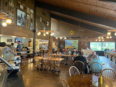
Wind Mountain Ranch
78.2 km
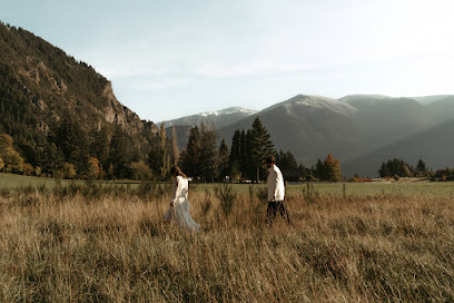
Discover the enchanting Wind Mountain Ranch, a perfect wedding venue and retreat center nestled in the majestic Washington wilderness.
Essential bars & hidden hideouts
Elbe Bar & Grill
53.4 km
Experience the best of local flavors at Elbe Bar & Grill, a cozy spot perfect for unwinding after exploring Washington's stunning landscapes.

Alexander's Lodge At Mt Rainier
59.5 km
Experience the perfect blend of adventure and comfort at Alexander's Lodge, your gateway to the natural wonders of Mt. Rainier National Park.
National Park Inn
64.8 km
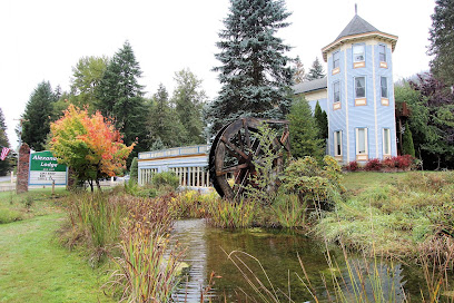
Discover the serene beauty of Mount Rainier National Park while enjoying a cozy stay at the National Park Inn, a historic retreat in nature's paradise.

Tatoosh Cafe
71.8 km
Discover Tatoosh Cafe, where local flavors meet stunning mountain views in Ashford, Washington.

Backwoods Brewing Company
74.7 km
Experience the best of local craft brews and delicious American cuisine at Backwoods Brewing Company in scenic Carson, WA.

Bungalow Bar & Grill
75.2 km
Discover the charm of Bungalow Bar & Grill, your go-to spot for local brews and hearty meals in Carson, Washington.

Red Bluff Tap House
75.6 km
Discover the flavors of Stevenson at Red Bluff Tap House – a must-visit gastropub featuring local cuisine and a vibrant craft beer selection.

Rock Creek Tavern
75.7 km
Discover Rock Creek Tavern, a welcoming bar in Stevenson, WA, offering a vibrant atmosphere, local drinks, and a chance to connect with the community.

Walking Man Brewing
75.7 km
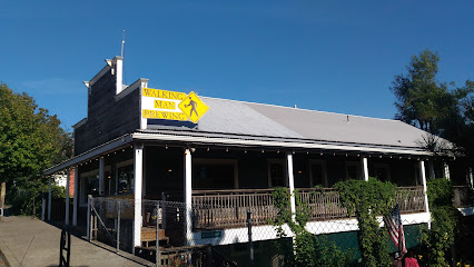
Experience the art of craft brewing at Walking Man Brewing, a must-visit destination for beer and pizza lovers in Stevenson, WA.
Cascade Locks / Portland East KOA Holiday
77.6 km
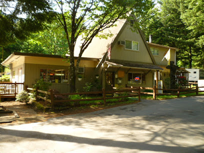
Discover the Ultimate Camping Experience in the Heart of the Columbia River Gorge at Cascade Locks / Portland East KOA Holiday.
Gorges Beer Co.
77.9 km
Discover the best of Cascade Locks at Gorges Beer Co., where exquisite craft beers meet delicious local cuisine in a stunning riverside setting.
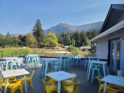
Cascade Locks Ale House
78.0 km
Discover the Cascade Locks Ale House, where local brews meet stunning views in the heart of the Columbia River Gorge.
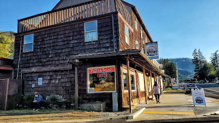
Red Carpet Inn
89.3 km
Experience the local charm and vibrant atmosphere of Red Carpet Inn, a must-visit bar in Hood River, Oregon, with craft drinks and live music.

Carbonado Saloon
89.7 km
Experience the charm of Carbonado Saloon, a cozy bar with nostalgic decor and a wide selection of local brews in the heart of Washington.

pFriem Family Brewers
90.6 km
Experience the best of craft brewing at pFriem Family Brewers in Hood River, Oregon, where flavor meets local charm.

Nightclubs & after hour spots
Hot point
89.6 km
Discover the vibrant atmosphere and diverse drink selections at Hot Point, the ultimate bar experience in Hood River, Oregon.

Shed
91.4 km
Experience the vibrant cocktail culture of Shed in Hood River, where expertly crafted drinks and a lively atmosphere await every visitor.

Thirteen 0 One
91.5 km
Discover the vibrant nightlife of Hood River at Thirteen 0 One, where local brews, creative cocktails, and karaoke nights await you.

Dream Girls at Fox's
96.5 km
Discover the electrifying performances and vibrant nightlife at Dream Girls at Fox's, Tacoma's premier adult entertainment club.

Latitude 84
99.0 km
Experience the thrill of live sports at Latitude 84, Tacoma's premier sports bar featuring great food, drinks, and a vibrant atmosphere.


