

Free Huachuca Mountains Travel Guide & Mobile App
Explore Huachuca Mountains with free travel guides. Discover regional history, expert tips, proposed trips, and audio guides on web or mobile app.


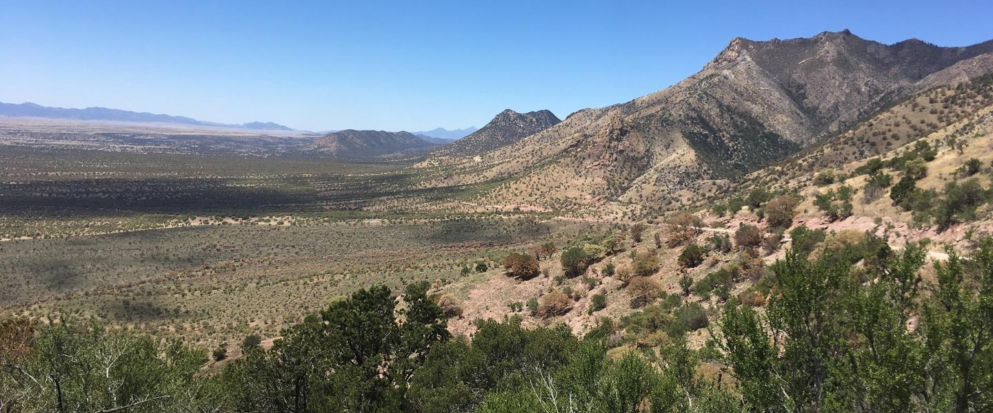


Explore Arizona’s Huachuca Mountains for Sky Island hiking, canyon birding, borderland history and high-elevation landscapes near Sierra Vista.
Read more about Huachuca Mountains
When is the best time to visit Huachuca Mountains?
Best: May–June, September · 23–28°C| Month | High (°C) | Rainfall (mm) |
|---|---|---|
| January | 10 | 20 |
| February | 11 | 20 |
| March | 14 | 20 |
| April | 18 | 15 |
| May (best) | 23 | 15 |
| June (best) | 28 | 20 |
| July | 30 | 60 |
| August | 29 | 60 |
| September (best) | 26 | 40 |
| October | 20 | 30 |
| November | 15 | 20 |
| December | 11 | 20 |
Getting to and around Huachuca Mountains
How to get there
Transportation
Top city travel guides in Huachuca Mountains
The cities of Huachuca Mountains, and the easiest places to base yourself.

Swipe for more cities
Best attractions in Huachuca Mountains
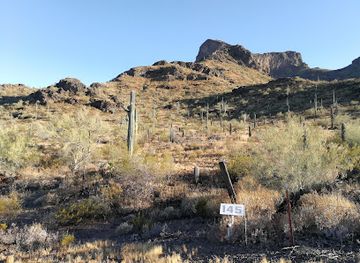
The Huachuca Mountains offer a concentrated mix of high-desert scenery, woodland trails and wildlife experiences. Coronado National Memorial, at the southern end of the range, combines short walks, overlooks and historical interpretation connected with the 1540 Coronado expedition. In the eastern foothills, Garden Canyon and other access points in and around Coronado National Forest lead towards oak woodland, rocky slopes and higher mountain terrain, subject to current access conditions. Miller Canyon and Ramsey Canyon are especially valued for shaded habitats, seasonal water and birdwatching, while Ash Canyon provides another route into the Huachuca foothills. The climb towards Miller Peak gives experienced hikers a stronger sense of the range’s elevation change, though weather and trail conditions demand preparation. Visitors can also explore the borderland grasslands below the mountains, photograph changing vegetation and observe hummingbirds and other migrants. The nearby city of Sierra Vista supplies services and interpretation, while Bisbee, outside the range, makes a useful historical side trip for those interested in the wider mining landscape. Attractions here are dispersed and predominantly outdoor, with conservation, geology and military-borderland history joining the walking experience.
-
Historical landmark
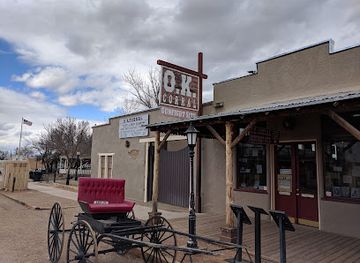
O.K. Corral
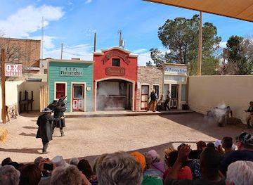
Discover the iconic O.K. Corral in Tombstone, Arizona, where history comes alive with thrilling gunfight reenactments and fascinating exhibits.
-
Museum
Titan Missile Museum
Explore a preserved Cold War missile silo and stand on the front lines of nuclear deterrence at the Titan Missile Museum in Arizona.
-
State park
Kartchner Caverns State Park
Explore a world of underground wonders and natural beauty at Kartchner Caverns State Park in Benson, Arizona. A must-see destination for cave enthusiasts!
-
Tourist attraction
Queen Mine Tour
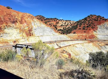
Descend into history at the Queen Mine Tour in Bisbee, Arizona, and experience the life of a copper miner!


Best landmarks in Huachuca Mountains
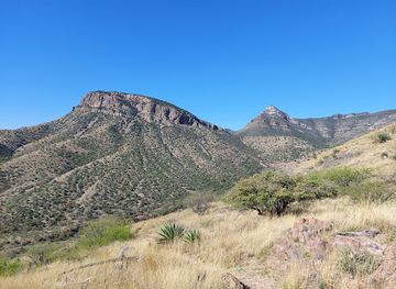
Miller Peak is the Huachuca Mountains’ defining summit and one of the most recognisable high points in south-eastern Arizona, rising sharply above the surrounding grasslands and desert valleys. The crest itself is a geographical landmark rather than a developed attraction, and reaching it involves strenuous mountain walking. Coronado National Memorial is the range’s principal historical landmark, occupying the southern Huachuca landscape and framing the international border within the story of the 1540 expedition. The granite and wooded walls of Ramsey Canyon and the dramatic, elevated corridor of Carr Canyon provide contrasting natural landmarks, revealing how streams, rock and altitude shape the Sky Island environment. Fort Huachuca, on the eastern side of the mountains, is an active military installation whose historic presence is central to the area, although it is not a conventional freely accessible monument. The Huachucas’ greatest visual significance lies in their sudden rise from open Cochise County grasslands and their sequence of ecological zones, which makes the range recognisable from distant roads as well as from its mountain trails.
-
Historical landmark
O.K. Corral
Relive the Wild West at the O.K. Corral: Witness the legendary gunfight and explore Tombstone's rich history.
-
Tourist attraction
Queen Mine Tour
Descend into history at the Queen Mine in Bisbee, Arizona, and experience the life of a copper miner firsthand.
-
Historical landmark
Tombstone Courthouse State Historic Park
Explore Tombstone's wild past at the preserved 1882 courthouse, featuring exhibits on mining, lawlessness, and frontier justice in the Old West.
-
Pizza
Screaming Banshee Pizza
Enjoy wood-fired pizzas and craft drinks in a quirky, colorful, historic Bisbee gas station turned pizzeria.


Explore Huachuca Mountains on the map
Plan your trip on one map. See where the top cities, national parks and sights are, and book hotels and experiences in a few clicks.
Best hotels in Huachuca Mountains
Best restaurants in Huachuca Mountains
Dining in the Huachuca Mountains is concentrated in Sierra Vista, Hereford and nearby communities rather than in the forested canyons themselves. Visitors will find practical cafés, family restaurants, Mexican and Mexican-American cooking, familiar American dishes, bakeries and independently run establishments serving residents, military personnel and travellers. The region’s food identity reflects south-eastern Arizona’s proximity to Sonora, with flour tortillas, chiles, beans, grilled meats and other borderland influences appearing alongside broader Arizona and United States traditions. Bisbee, outside the mountains, adds a more concentrated selection of cafés, restaurants and historic-town dining. Farmers’ markets and local retailers may provide seasonal produce, baked goods and regional products, but availability varies by day and season. Pack a picnic and plenty of water for longer outings, as there are no dependable food services at remote trailheads. Local breweries and casual evening restaurants are more likely to be found in Sierra Vista than in the mountain recreation areas.
-
Grill
Big Nose Kate's Saloon
Dive into the rich heritage and hearty flavors at Big Nose Kate's Saloon - where every meal tells a story!
-
Breakfast
Bisbee Breakfast Club
Discover delightful breakfasts at Bisbee Breakfast Club - where hearty meals meet a cozy atmosphere in historic Bisbee.
-
Restaurant
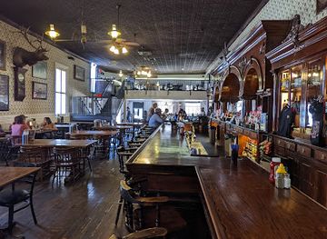
Crystal Palace Saloon
Discover the historic charm of Crystal Palace Saloon in Tombstone - where delicious food meets Wild West heritage.
-
Mexican
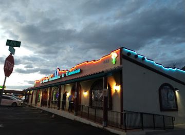
La Casita Mexican Restaurant & Cantina
Experience authentic Mexican cuisine at La Casita Mexican Restaurant & Cantina in Sierra Vista, where every meal is a celebration of flavor.

Best bars in Huachuca Mountains
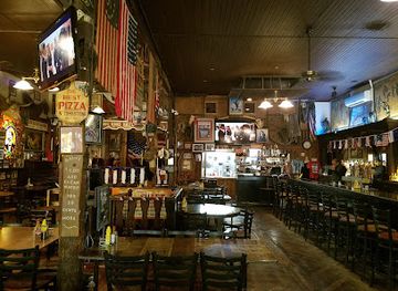
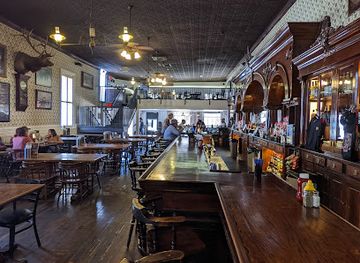
Evening life around the Huachuca Mountains is based mainly in Sierra Vista, with neighbourhood bars, casual restaurants, breweries, live music and other low-key venues serving a local and military-connected population. Hereford and the rural foothills are quieter, while Bisbee, outside the range, is known for a more concentrated historic-town bar, arts and live-music scene. The mountains themselves are places for stargazing, camping where permitted and listening to nocturnal wildlife rather than late-night entertainment. Opening arrangements and individual venues change, so visitors should check locally instead of relying on an outdated nightlife directory. Alcohol is not central to experiencing the range, and anyone driving to remote accommodation or trail access should plan a safe return journey before drinking.
-
Grill
Big Nose Kate's Saloon
Discover the heart of Tombstone at Big Nose Kate's Saloon, where history, hearty meals, and lively entertainment merge in the spirit of the Old West.
-
Bar
Crystal Palace Saloon
Discover the historic Crystal Palace Saloon in Tombstone, AZ—a lively bar and restaurant offering a taste of the Old West with delicious food and drinks.
-
New American
Bisbee's Table
Experience the flavors of the Southwest with innovative New American cuisine at Bisbee's Table, a top dining destination in Bisbee, Arizona.
-
Pizza
Screaming Banshee Pizza
Savor the taste of handcrafted pizzas at Screaming Banshee Pizza, a top culinary spot in the heart of Bisbee, Arizona.


Best nightclubs in Huachuca Mountains
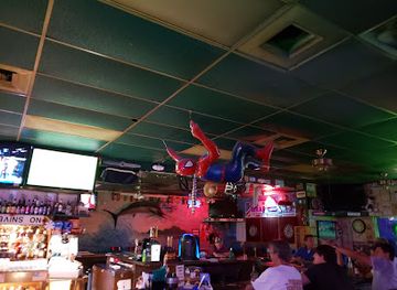
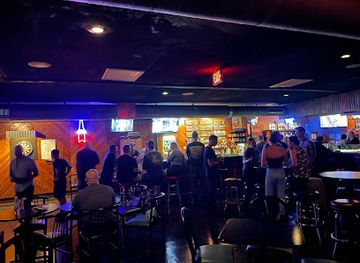
Evening life around the Huachuca Mountains is based mainly in Sierra Vista, with neighbourhood bars, casual restaurants, breweries, live music and other low-key venues serving a local and military-connected population. Hereford and the rural foothills are quieter, while Bisbee, outside the range, is known for a more concentrated historic-town bar, arts and live-music scene. The mountains themselves are places for stargazing, camping where permitted and listening to nocturnal wildlife rather than late-night entertainment. Opening arrangements and individual venues change, so visitors should check locally instead of relying on an outdated nightlife directory. Alcohol is not central to experiencing the range, and anyone driving to remote accommodation or trail access should plan a safe return journey before drinking.
-
Gastropub
The Quarry Bisbee
Experience the best of Bisbee at The Quarry, where gourmet dining meets live music in a lively gastropub atmosphere.
-
Bar
St Elmo Bar
Experience the vibrant nightlife at St Elmo Bar, a local favorite in Bisbee, Arizona, known for its inviting atmosphere and eclectic drink selection.
-
Pub
Paul's Pub
Discover the vibrant atmosphere and lively entertainment at Paul's Pub in Sierra Vista, Arizona, where great drinks and good vibes await.
-
Bar
The Horned TOAD
Experience the vibrant atmosphere of The Horned Toad, a must-visit bar in Sierra Vista, featuring live music and a diverse drink menu.


Best shops in Huachuca Mountains
Shopping for the Huachuca Mountains is centred on Sierra Vista, where visitors can find supermarkets, outdoor equipment, practical supplies, independent retailers and services for preparing for mountain outings. The city is the most useful place to buy water, sun protection, trail food and basic equipment before travelling into the range. Small local markets and seasonal producers may offer baked goods, preserves, crafts and regional food products, while galleries and independent shops in nearby Bisbee, outside the mountains, provide more distinctive art, antiques and mining-town souvenirs. There is no single mountain craft tradition or large resort shopping district, and remote canyon access points generally have no retail facilities. Appropriate souvenirs include locally made art, books about the Sky Islands, regional food products and responsible wildlife or landscape photography, rather than collected plants, rocks or archaeological objects. Check that any Indigenous-made item is authentically represented and ethically sold.
-
Shopping mall
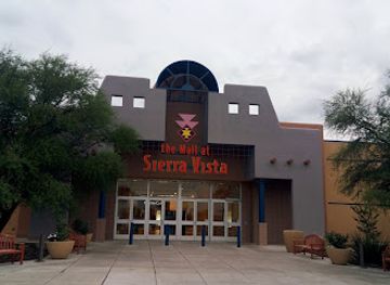
The Mall at Sierra Vista
Explore a vibrant shopping experience at The Mall at Sierra Vista, Arizona's premier destination for shopping, dining, and family fun.
-
Craft store
Hobby Lobby
Explore a vast selection of craft supplies, home decor, and seasonal items at Hobby Lobby, your creative destination in Sierra Vista.
-
Electronics store
Best Buy
Explore the latest electronics, appliances, and entertainment systems at Best Buy in Sierra Vista, the ultimate destination for tech enthusiasts.
-
Restaurant
Urbano Bar & Bistro
Experience the best of Sierra Vista at Urbano Bar & Bistro, where exceptional cuisine meets a cozy atmosphere.


Get your free copy of our complete guide to Huachuca Mountains, delivered straight to you.
Everything on this page, from attractions and restaurants to essentials and local phrases, in one PDF you can read offline, print or share.
Already have an account? Sign in
Your Huachuca Mountains guide is ready.
We'll send it to · Not you? Sign out

Getting your guide ready…
We are putting together a fresh copy of the Huachuca Mountains guide. This can take up to a minute.
This can take a few moments. If your browser asks, choose Allow so the download can start. You'll find the guide in your Downloads folder.
Nothing happened? Download it again
Sorry, the guide is taking longer than usual. Please try again in a minute, or get it by email instead.
Huachuca Mountains essentials
Currency and Payment
Safety
Emergency Situations
Do's and Don'ts
Local Tips
From Eve
Local phrases worth knowing
You don't need to get them perfect. A few words go a long way, and locals appreciate the effort.
Basics
| English | Local | Say it |
|---|---|---|
| Hello | Howdy | [haʊdi] |
| Goodbye | See ya later | [si jə ˈleɪtər] |
| Yes | Yep | [jɛp] |
| No | Nah | [nɑ] |
| Please/You're welcome | Sure thing | [ʃʊr θɪŋ] |
| Thank you | Thanks a lot | [θæŋks ə lɑt] |
| Excuse me/Sorry | Pardon me | [ˈpɑrdən mi] |
| How are you? | How's it going? | [haʊz ɪt ˈɡoʊɪŋ] |
| Fine. And you? | Good, and you? | [ɡʊd ənd ju] |
| Do you speak English? | Do ya talk English? | [du jə tɔk ˈɪŋɡlɪʃ] |
| I don't understand | I ain't got it | [aɪ eɪnt ɡɑt ɪt] |
Eating & Drinking
| English | Local | Say it |
|---|---|---|
| I'd like to see the menu, please | Can I see the menu? | [kæn aɪ si ðə ˈmɛnju] |
| I don't eat meat | I ain't into meat | [aɪ eɪnt ˈɪntu mit] |
| Cheers! | Bottoms up! | [ˈbɑtəmz ʌp] |
| I would like to pay, please | Can I get the check? | [kæn aɪ ɡɛt ðə tʃɛk] |
Emergencies
| English | Local | Say it |
|---|---|---|
| Help! | Help! | [hɛlp] |
| Go away! | Get lost! | [ɡɛt lɔst] |
| Call the Police! | Call the cops! | [kɔl ðə kɑps] |
| Call a doctor! | Get a doc! | [ɡɛt ə dɑk] |
| I'm lost | I'm turned around | [aɪm tɜrnd əˈraʊnd] |
| I'm ill | I'm feeling sick | [aɪm ˈfilɪŋ sɪk] |
Shopping
| English | Local | Say it |
|---|---|---|
| I'd like to buy... | I wanna buy... | [aɪ ˈwɑnə baɪ] |
| I'm just looking | Just browsing | [dʒʌst ˈbraʊzɪŋ] |
| How much is it? | What’s the price? | [wʌts ðə praɪs] |
| That's too expensive | That's pricey | [ðæts ˈpraɪsi] |
| Can you lower the price? | Can ya cut the price? | [kæn jə kʌt ðə praɪs] |
Time & Numbers
| English | Local | Say it |
|---|---|---|
| What time is it? | What time ya got? | [wʌt taɪm jə ɡɑt] |
| It's one o'clock | It's one | [ɪts wʌn] |
| Half past (10) | Half past ten | [hæf pæst tɛn] |
| Morning | Mornin' | [ˈmɔrnɪn] |
| Afternoon | Afternoon | [ˌæftərˈnun] |
| Evening | Evenin' | [ˈivnɪn] |
| Yesterday | Yesterday | [ˈjɛstərdeɪ] |
| Today | Today | [təˈdeɪ] |
| Tomorrow | Tomorrow | [təˈmɑroʊ] |
| 1 | One | [wʌn] |
| 2 | Two | [tu] |
| 3 | Three | [θri] |
| 4 | Four | [fɔr] |
| 5 | Five | [faɪv] |
| 6 | Six | [sɪks] |
| 7 | Seven | [ˈsɛvən] |
| 8 | Eight | [eɪt] |
| 9 | Nine | [naɪn] |
| 10 | Ten | [tɛn] |
Transport & Directions
| English | Local | Say it |
|---|---|---|
| Where's a/the...? | Where's the...? | [wɛrz ðə] |
| What's the address? | What's the address? | [wʌts ði ˈædrɛs] |
| Can you show me (on the map)? | Can you point it out? | [kæn jə pɔɪnt ɪt aʊt] |
| When's the next (bus)? | When's the next bus? | [wɛn z ðə nɛkst bʌs] |
| A ticket (to ....) | One ticket to... | [wʌn ˈtɪkɪt tu] |
History of Huachuca Mountains
Indigenous Homelands and Borderland Archaeology
The Huachuca Mountains lie within the broader homelands and traditional landscapes of Apache peoples, especially the Chiricahua Apache and Western Apache, whose lifeways used the region’s springs, canyons, grasslands and mountain corridors. Archaeological evidence across south-eastern Arizona records much older communities and changing patterns of settlement, agriculture and movement. The mountains were not an isolated wilderness but part of a cross-border landscape extending into present-day northern Mexico. Visitors should understand that the range’s history predates European exploration by many centuries and that Indigenous connections to the area continue.
Coronado’s 1540 Expedition
Francisco Vásquez de Coronado’s expedition crossed the region in 1540 while searching for the fabled Seven Cities of Cíbola. The exact route through the Huachuca country remains a matter of historical interpretation, but the expedition’s passage is commemorated at Coronado National Memorial on the southern end of the range. The memorial places the journey within its wider context, including the encounters and consequences experienced by Indigenous societies. It also explains why the surrounding borderlands became part of the recorded history of Spanish exploration in what is now Arizona.
Spanish and Mexican Borderlands
Following Spanish exploration, the Huachuca area became part of a shifting frontier connected to missions, ranching, trade and military activity in northern New Spain. After Mexican independence in 1821, the region formed part of Mexico until the territorial changes following the Mexican-American War. The international boundary established in the nineteenth century divided a landscape that had long functioned as a connected cultural and ecological region. Many later routes, settlements and military decisions were shaped by this borderland position.
The Founding of Camp Huachuca, 1877
The United States established Camp Huachuca in 1877 on the eastern side of the mountains, creating a military post intended to monitor movement and protect transport routes in the Arizona frontier. Its location beside the Huachucas gave troops access to elevated terrain and mountain passes. The post later became Fort Huachuca and remains an active United States Army installation. Military lands and activities are therefore an important part of the range’s modern geography, although access is restricted in places and visitors must follow current regulations.
Apache Wars and the Buffalo Soldiers
During the late nineteenth century, the Huachuca Mountains formed part of the military landscape of the Apache Wars. Units stationed at Camp Huachuca included African American soldiers, commonly known as Buffalo Soldiers, who served in campaigns and patrols across the Arizona frontier. The period cannot be reduced to a simple military narrative: it involved the forced disruption of Apache communities, contested sovereignty and major consequences for Indigenous people. Fort Huachuca’s preserved and interpreted history helps connect the mountains with these wider political and military transformations.
Mining, Ranching and Regional Settlement
The valleys and foothills surrounding the Huachucas developed through ranching, transport and mineral extraction during the late nineteenth and early twentieth centuries. Bisbee, south-east of the range, became a major copper-mining centre, while smaller settlements and military activity expanded across Cochise County. Mining was not confined to the immediate mountain landscape, but it influenced roads, labour patterns and regional commerce. Today, the contrast between the former mining centre of Bisbee, the military community around Sierra Vista and the forested mountain canyons reflects this layered settlement history.
Conservation and the Sky Island Idea
The Huachucas became increasingly recognised for their biological importance as scientists, naturalists and conservationists studied the isolated mountain ranges of the Arizona-Sonora borderlands. Their exceptional elevation range and position between major ecological regions support a concentration of habitats and migrating wildlife. Coronado National Forest, Coronado National Memorial, private preserves and conservation organisations now protect different parts of this landscape. Contemporary interest in the range therefore combines recreation with habitat protection, responsible borderland access and long-term monitoring of water, fire and climate pressures.
Huachuca Mountains in Photos
Browse through our photo collection highlighting the charm and character of the destination.
Neighbouring regions of Huachuca Mountains
The closest regions to Huachuca Mountains, if you have time for more than one.
-

-

-
-

-
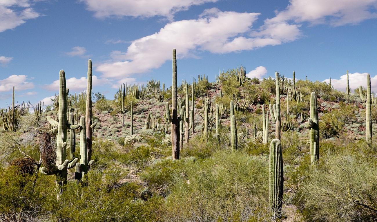 Saguaro National Park
 surrounds Tucson with giant cacti, desert wildlife, mountain trails, scenic drives and enduring Sonoran Desert heritage.


Swipe for more regions
Explore more

Explore more of Arizona
Discover Arizona: From the majestic Grand Canyon and red rocks of Sedona to the vibrant cities of Phoenix and Scottsdale, explore the diverse beauty and culture of the Grand Canyon State.
Explore Arizona