

Free Coronado National Forest Travel Guide & Mobile App
Explore Coronado National Forest with free travel guides. Discover regional history, expert tips, proposed trips, and audio guides on web or mobile app.


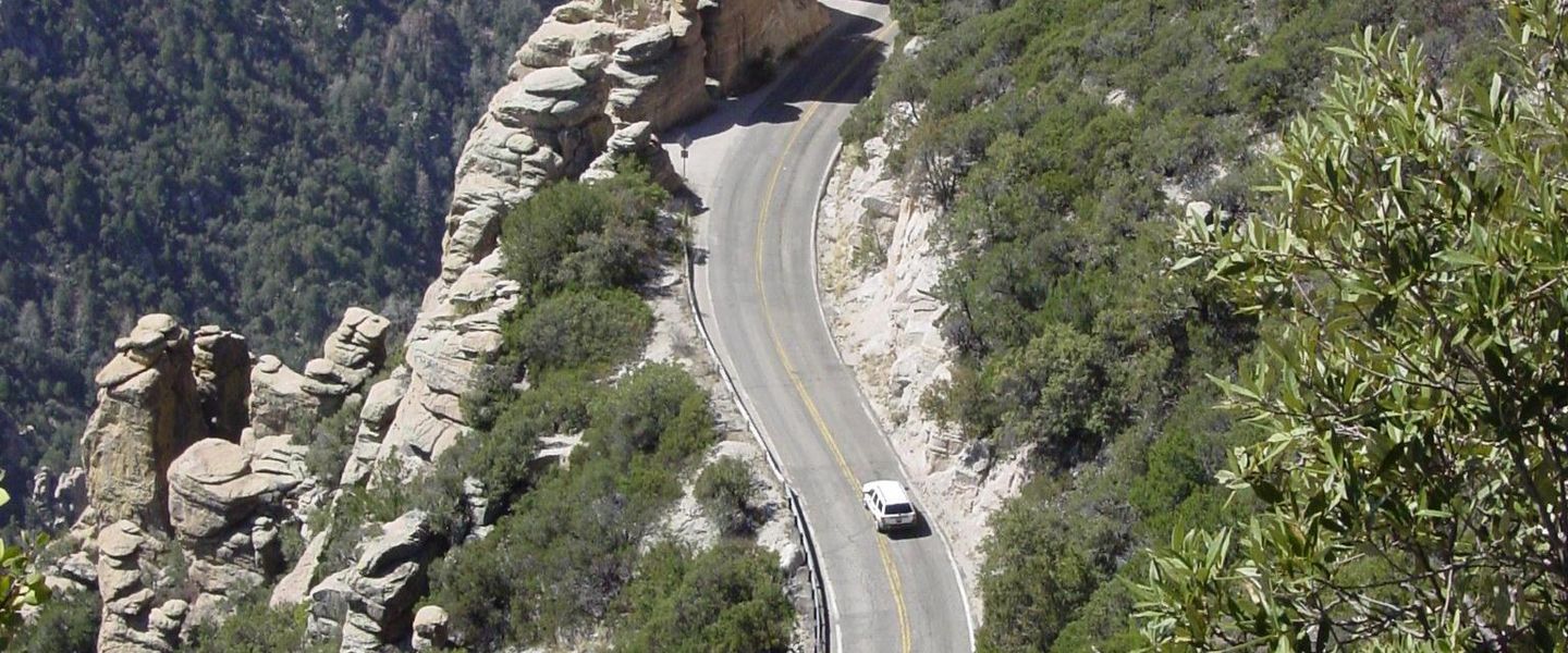


Explore Coronado National Forest in Arizona for sky-island mountains, desert-to-pine landscapes, birdwatching, hiking and scenic drives.
Read more about Coronado National Forest
Getting to and around Coronado National Forest
How to get there
Transportation
Top city travel guides in Coronado National Forest
The cities of Coronado National Forest, and the easiest places to base yourself.
-
 Tucson
Discover Tucson, Arizona: A desert oasis rich in cultural heritage, natural beauty, and culinary delights, perfect for explorers and food enthusiasts alike.
-


Swipe for more cities
Destinations in Coronado National Forest
Resorts, valleys and scenic spots worth a trip of their own.
-
-
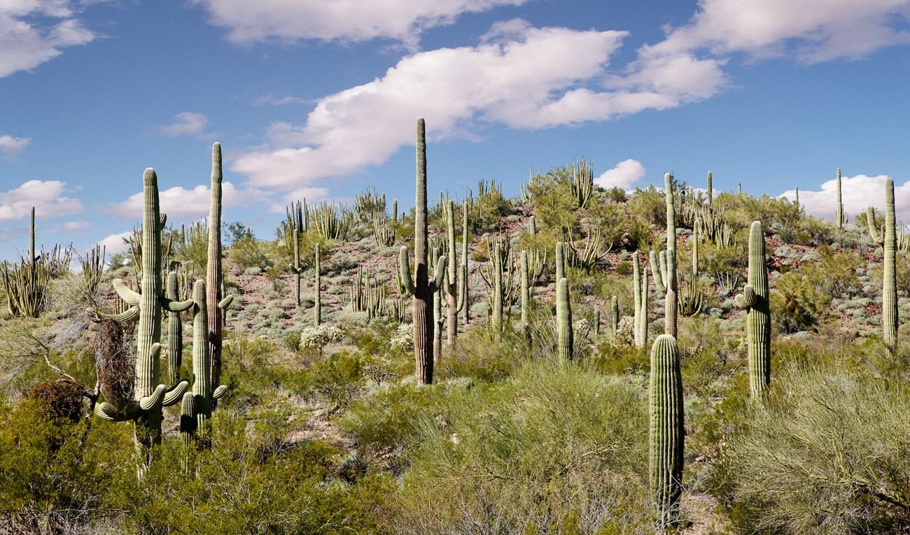
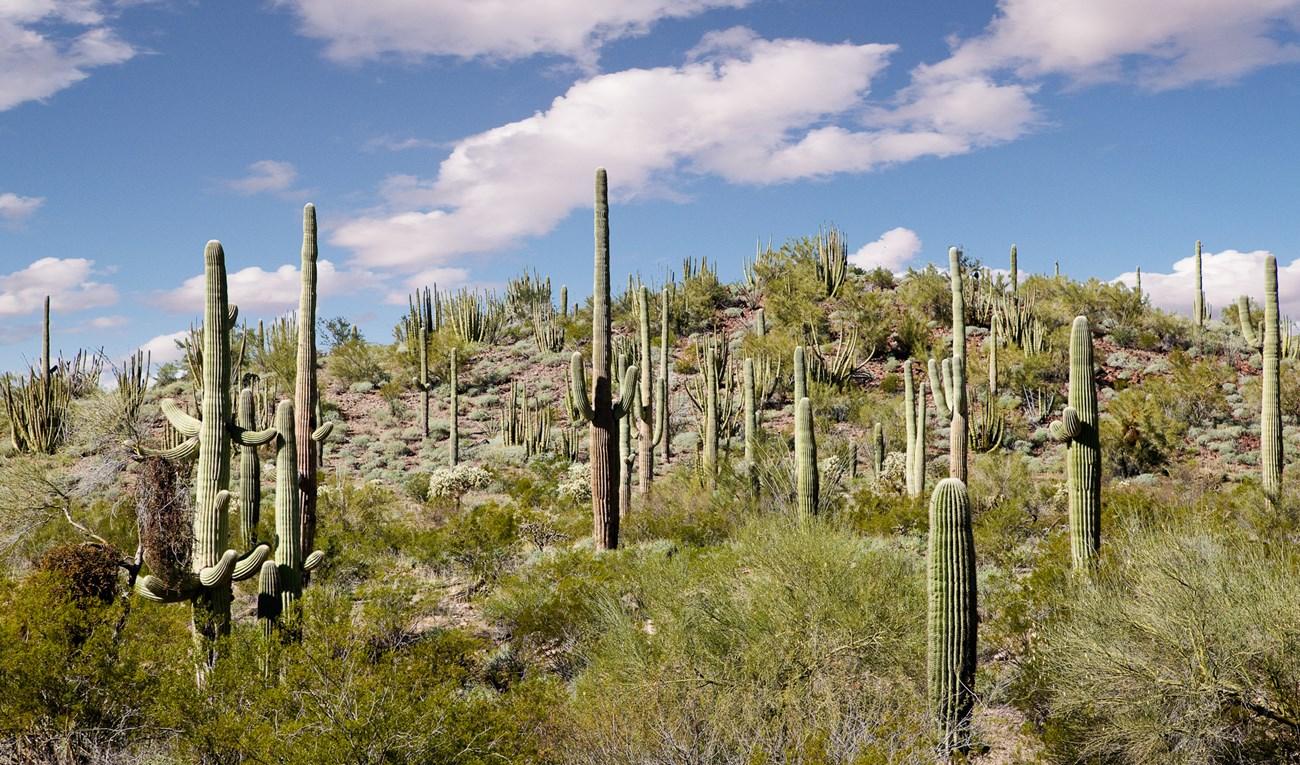 Saguaro National Park
 in Arizona reveals giant cacti, desert trails, Tucson sunsets, wildlife and Sonoran Desert heritage across two distinct districts.
-
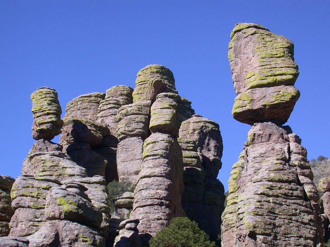 Chiricahua National Monument
 in Arizona pairs volcanic hoodoos, forested canyons, scenic drives, hiking trails and Apache heritage near Willcox.

Swipe for more destinations
Best attractions in Coronado National Forest
Coronado National Forest’s attractions are defined by variety across elevation and by the separation of its mountain ranges. The Mount Lemmon Scenic Byway climbs from the Sonoran Desert north of Tucson through cactus country, oak woodland and pine forest to high mountain recreation near Summerhaven. Madera Canyon in the Santa Rita Mountains is noted for woodland walks, shaded streamside habitat and birdwatching, while the Huachuca Mountains offer trails and viewpoints above the Sierra Vista basin. In the eastern forest, Cave Creek Canyon provides access to rugged rock faces, riparian vegetation and routes into the Chiricahua Mountains. The Pinaleño Mountains near Mount Graham offer cooler high-country landscapes and hiking, subject to seasonal access and local restrictions. Camping, picnicking, climbing, cycling, wildlife observation and horseback riding are available in appropriate areas, but facilities vary greatly between districts. The forest is not a conventional theme of concentrated museums and visitor centres; its principal appeal lies in geology, altitude, habitat change, quiet roads and outdoor exploration. Nearby communities add museums, historic districts and food services, but they should be treated as gateways rather than as forest attractions.
-
O.K. Corral
Relive the Wild West history at the O.K. Corral in Tombstone, Arizona, with gunfight reenactments and historic exhibits that bring the past to life.
-
Coronado National Forest
Explore the pristine landscapes and diverse wildlife of Coronado National Forest, a nature lover's paradise in Tucson, Arizona.
-
Big Nose Kate's Saloon
Discover the Old West's charm at Big Nose Kate's Saloon, a historic bar and grill in Tombstone, Arizona, featuring delicious food and live entertainment.
-
The Bird Cage Theatre
Discover the rich history of the Wild West at The Bird Cage Theatre in Tombstone, Arizona, where tales of gunfights and legends come alive.


Best landmarks in Coronado National Forest
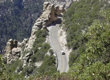
The Mount Lemmon Scenic Byway is one of the forest’s most recognisable features, tracing a dramatic ascent from the desert outskirts of Tucson into the Santa Catalina Mountains and revealing successive climate zones along the way. Mount Lemmon itself, one of the highest points in the range, gives the area a markedly alpine character despite its proximity to the Sonoran Desert. In the Santa Rita Mountains, Madera Canyon is both a geographic landmark and a significant wildlife corridor, with steep forested slopes framing a narrow canyon. The Huachuca Mountains form a prominent wall above Sierra Vista, while the Pinaleño Mountains rise as an isolated high range above the valleys of Graham County. The Chiricahua Mountains are distinguished by rugged volcanic geology, deep canyons and distinctive rock formations, particularly around Cave Creek Canyon and the forest’s eastern districts. These places matter because they demonstrate the sky-island structure of southern Arizona: separate mountain blocks surrounded by lower, hotter landscapes. Historic mining scars, old roads and ranching infrastructure also form part of the region’s visible cultural landscape, although many landmarks and archaeological locations require protection rather than close exploration.
-
Memorial park
Coronado National Memorial
Explore the history and natural beauty of the US-Mexico borderlands at Coronado National Memorial in Hereford, Arizona.
-
Nature preserve
Ramsey Canyon Preserve
Explore the breathtaking Ramsey Canyon Preserve, a natural sanctuary in Arizona teeming with diverse wildlife and stunning landscapes perfect for outdoor adventures.
-
Historical place
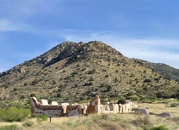
Fort Bowie National Historic Site
Hike through history at this Arizona site where the US Army and Chiricahua Apache clashed for control of the Southwest frontier.
-
Cemetery
Boothill Graveyard
Discover the history of the Wild West at Boothill Graveyard in Tombstone, Arizona, where legendary figures rest in peace.
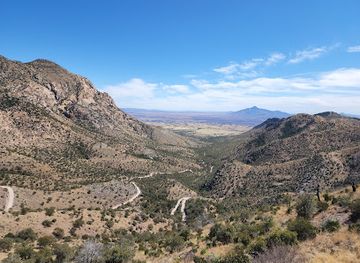


Explore Coronado National Forest on the map
Plan your trip on one map. See where the top cities, national parks and sights are, and book hotels and experiences in a few clicks.
Best hotels in Coronado National Forest
Best restaurants in Coronado National Forest
There is no single Coronado National Forest dining tradition because the forest spans a large part of south-eastern Arizona and contains few substantial settlements. Most meals are taken in gateway communities such as Tucson, Sierra Vista, Willcox, Safford, Patagonia, Sonoita, Bisbee and Portal, or prepared at a campsite. In southern Arizona, menus commonly reflect Mexican and Sonoran influences through items such as tortillas, enchiladas, carne asada and regional variations of chilli and beans, alongside the wider state’s ranching and agricultural traditions. Tucson’s broader food scene is outside the forest but is a useful starting point for supplies and dining before visiting the Santa Catalina or Santa Rita ranges. Rural cafés, diners, breweries, bakeries, family-run restaurants and historic-town eateries are more common than destination dining in remote districts. Farmers’ markets and local shops may offer fruit, preserves, baked goods and other provisions, while vineyards and food businesses around Sonoita and Willcox serve the neighbouring grassland and wine country rather than the forest itself.
-
American
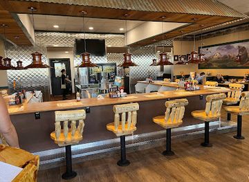
Black Bear Diner Tonopah
Experience hearty American cuisine at Black Bear Diner in Tonopah - perfect for families craving delicious meals any time of day.
Best bars in Coronado National Forest
Evening life around Coronado National Forest is generally low-key and concentrated in gateway towns rather than in the mountains. Tucson has the widest choice of bars, breweries, live-music rooms and late-night venues, while Sierra Vista, Bisbee, Willcox and Safford offer smaller selections of pubs, restaurants and locally oriented evening businesses. Historic Bisbee is known for a compact bar and arts scene in its old mining-town setting, although it lies outside the forest and is best treated as a nearby excursion. In Patagonia, Sonoita and Portal, evenings tend to centre on restaurants, cafés, small bars or community events rather than nightclubs. Mountain campsites are quiet after dark, and remote districts have little or no nightlife infrastructure, so visitors should bring supplies, observe fire regulations and avoid driving long distances on unfamiliar roads after drinking. Seasonal music, tasting and cultural events occur in surrounding communities but should be checked locally rather than assumed to operate year-round.
-
Restaurant
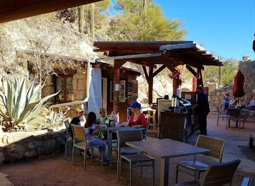
Colossal Cave Mountain Park
Explore the breathtaking caves, scenic trails, and rich history at Colossal Cave Mountain Park - a natural wonder in Arizona.
-
Seafood
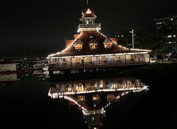
Bluewater Boathouse Seafood Grill Coronado
Experience the finest seafood dining at Bluewater Boathouse Seafood Grill in Coronado, where fresh flavors meet stunning waterfront views.
-
Restaurant
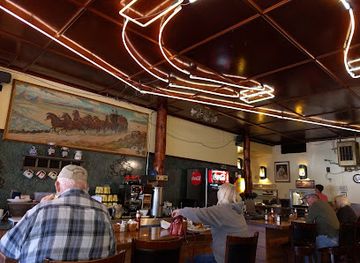
The Horseshoe
Discover the heart of Benson at The Horseshoe, where delicious food and warm hospitality await every visitor.
-
Grill
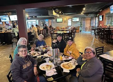
Jolie's Place
Experience the best of American cuisine and live music at Jolie's Place in Chandler, AZ - a vibrant grill and bar with a unique atmosphere.
Best nightclubs in Coronado National Forest
-
Bar
Sky Bar Tucson
Discover Sky Bar Tucson, where stunning rooftop views, live music, and a vibrant atmosphere combine for an unforgettable night out in Arizona.
-
Bar
The Hut
Experience the vibrant nightlife of Tucson at The Hut, a lively bar with creative cocktails, games, and a welcoming atmosphere.
-
Bar
Che's Lounge
Discover the lively ambiance and friendly vibes of Che's Lounge in Tucson, where great drinks and good times await.
-
Night club
Surly Wench Pub
Discover the lively Surly Wench Pub in Tucson, where great food, live music, and a fun atmosphere come together for an unforgettable night out.




Best shops in Coronado National Forest
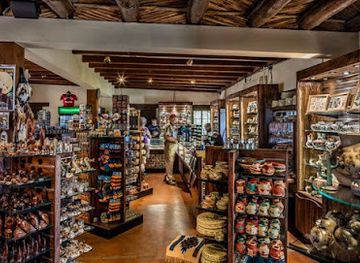
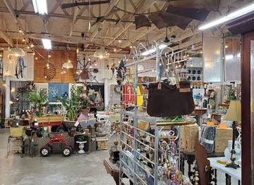
Shopping associated with Coronado National Forest is concentrated in its gateway towns and usually serves practical needs as much as tourism. Tucson offers the broadest choice of outdoor equipment, books, food shops, galleries and Southwestern arts, while Sierra Vista, Safford and Willcox are useful for fuel, provisions and locally made goods before entering more remote districts. Bisbee and Patagonia, both outside the forest, have independent galleries, antiques, crafts, jewellery, books and mining-town souvenirs. Markets and small producers around Sonoita and Willcox may offer regional wine, preserves, baked goods and agricultural products, while shops in southern Arizona often stock ceramics, textiles and other Southwestern crafts. Visitors should distinguish genuinely local work from generic imported souvenirs and should never buy archaeological objects or artefacts whose provenance is unclear. Remote forest areas have few retail facilities, so water, food, fuel, maps and specialist outdoor supplies should normally be purchased in a town before setting out.
-
Gift shop
Colossal Cave Mountain Park
Discover the breathtaking beauty of Colossal Cave Mountain Park, where adventure meets nature in the heart of Arizona.
-
Craft store
Hobby Lobby
Explore Hobby Lobby in Sierra Vista, Arizona - a paradise for craft lovers with endless supplies for your next creative project.
-
Memorial park
Coronado National Memorial
Experience the breathtaking beauty and rich history of Coronado National Memorial, a must-visit destination in Arizona for nature lovers and history enthusiasts.
-
Antique store
Midtown Mercantile Merchants, LLC
Explore the vibrant Midtown Mercantile in Tucson, offering a unique mix of gifts, art, and antiques that capture the spirit of local culture.


Get your free copy of our complete guide to Coronado National Forest, delivered straight to you.
Everything on this page, from attractions and restaurants to essentials and local phrases, in one PDF you can read offline, print or share.
Already have an account? Sign in
Your Coronado National Forest guide is ready.
We'll send it to · Not you? Sign out

Getting your guide ready…
We are putting together a fresh copy of the Coronado National Forest guide. This can take up to a minute.
This can take a few moments. If your browser asks, choose Allow so the download can start. You'll find the guide in your Downloads folder.
Nothing happened? Download it again
Sorry, the guide is taking longer than usual. Please try again in a minute, or get it by email instead.
Coronado National Forest essentials
Currency and Payment
Safety
Emergency Situations
Do's and Don'ts
Local Tips
From Eve
Local phrases worth knowing
You don't need to get them perfect. A few words go a long way, and locals appreciate the effort.
Basics
| English | Local | Say it |
|---|---|---|
| Hello | Hola | [OH-lah] |
| Goodbye | Adiós | [ah-DYOS] |
| Yes | Sí | [SEE] |
| No | No | [NO] |
| Please/You're welcome | Por favor/De nada | [por fah-VOR/deh NAH-dah] |
| Thank you | Gracias | [GRAH-syahs] |
| Excuse me/Sorry | Disculpe/Lo siento | [dees-KOOL-peh/lo SYEN-toh] |
| How are you? | ¿Cómo estás? | [KOH-moh es-TAHS] |
| Fine. And you? | Bien. ¿Y tú? | [BYEN. ee TOO] |
| Do you speak English? | ¿Habla inglés? | [AH-blah een-GLES] |
| I don't understand | No entiendo | [NO en-TYEN-doh] |
Eating & Drinking
| English | Local | Say it |
|---|---|---|
| I'd like to see the menu, please | Me gustaría ver el menú, por favor | [meh goo-stah-REE-ah vehr el meh-NOO, por fah-VOR] |
| I don't eat meat | No como carne | [NO KOH-moh KAR-neh] |
| Cheers! | ¡Salud! | [sah-LOOD] |
| I would like to pay, please | Quisiera pagar, por favor | [kee-SYEH-rah pah-GAR, por fah-VOR] |
Emergencies
| English | Local | Say it |
|---|---|---|
| Help! | ¡Ayuda! | [ah-YOO-dah] |
| Go away! | ¡Vete! | [VEH-teh] |
| Call the Police! | ¡Llame a la policía! | [YAH-meh ah lah poh-lee-SYAH] |
| Call a doctor! | ¡Llame a un doctor! | [YAH-meh ah oon dok-TOR] |
| I'm lost | Estoy perdido | [es-TOY pehr-DEE-doh] |
| I'm ill | Estoy enfermo | [es-TOY en-FER-mo] |
Shopping
| English | Local | Say it |
|---|---|---|
| I'd like to buy... | Quisiera comprar... | [kee-SYEH-rah kom-PRAHR...] |
| I'm just looking | Solo estoy mirando | [SOH-lo es-TOY mee-RAHN-doh] |
| How much is it? | ¿Cuánto cuesta? | [KWAN-toh KWEH-stah] |
| That's too expensive | Es demasiado caro | [es deh-mah-SEE-ah-doh KAH-roh] |
| Can you lower the price? | ¿Puede bajar el precio? | [PWEH-deh bah-HAR el PREH-syoh] |
Time & Numbers
| English | Local | Say it |
|---|---|---|
| What time is it? | ¿Qué hora es? | [keh OH-rah es] |
| It's one o'clock | Es la una | [es lah OO-nah] |
| Half past (10) | Y diez y media | [ee DYEZ ee MEH-diah] |
| Morning | Mañana | [mah-NYAH-nah] |
| Afternoon | Tarde | [TAR-deh] |
| Evening | Noche | [NOH-cheh] |
| Yesterday | Ayer | [ah-YER] |
| Today | Hoy | [OY] |
| Tomorrow | Mañana | [mah-NYAH-nah] |
| 1 | Uno | [OO-no] |
| 2 | Dos | [DOS] |
| 3 | Tres | [TRES] |
| 4 | Cuatro | [KWA-tro] |
| 5 | Cinco | [SEEN-koh] |
| 6 | Seis | [SAYS] |
| 7 | Siete | [SYEH-teh] |
| 8 | Ocho | [OH-cho] |
| 9 | Nueve | [NWEH-veh] |
| 10 | Diez | [DYEZ] |
Transport & Directions
| English | Local | Say it |
|---|---|---|
| Where's a/the...? | ¿Dónde está un/ el...? | [DON-deh es-TAH oon/el...?] |
| What's the address? | ¿Cuál es la dirección? | [KWAL es lah dee-rek-SYON?] |
| Can you show me (on the map)? | ¿Me puede mostrar (en el mapa)? | [Meh PWEH-deh mos-TRAR (en el MAH-pah)?] |
| When's the next (bus)? | ¿Cuándo es el próximo (autobús)? | [KWAN-doh es el PROHK-see-mo (ow-toh-BOOS)?] |
| A ticket (to ....) | Un boleto (a....) | [OON boh-LEH-toh (ah....)] |
History of Coronado National Forest
Indigenous landscapes and long human occupation
The mountains and valleys of south-eastern Arizona have been inhabited and used by Indigenous peoples for thousands of years. Earlier communities farmed valley floors, gathered desert and mountain plants, and travelled through passes and canyons; later Apache peoples maintained strong cultural, economic and political connections with the mountain ranges. Archaeological sites, rock art and traditional landscape knowledge testify to this long history. Many locations are fragile or culturally sensitive, and their significance is not always visible to casual visitors.
Spanish and Mexican borderlands
Spanish exploration and missionary activity reached southern Arizona from the seventeenth century onwards, followed by the incorporation of the area into Mexico after Mexican independence. Routes across the valleys and mountain passes connected settlements, ranches and mining areas, while the borderlands remained politically fluid and sparsely administered. After the Gadsden Purchase of 1854 transferred much of present-day southern Arizona to the United States, the mountains became part of an increasingly defined international boundary region.
Apache homelands and nineteenth-century conflict
The mountains now included in and around Coronado National Forest were central to Apache life and resistance during the nineteenth century. U.S. military campaigns, settler expansion, transport routes and reservation policies transformed access to the region. Forts and military roads were built in the surrounding borderlands, and conflict continued through much of the late nineteenth century. The legacy is visible in historic sites and place names, but it is also part of a difficult history of dispossession that should not be reduced to romantic frontier stories.
Mining, ranching and settlement
Mining profoundly shaped communities around the forest, particularly in the Santa Rita, Patagonia, Huachuca, Chiricahua and Pinaleño areas. Copper, silver, gold and other minerals attracted investment, labour and transport links, while cattle ranching expanded across the surrounding grasslands and valleys. Towns such as Bisbee, Patagonia, Willcox and Safford developed in connection with these industries, although they are gateways or neighbouring communities rather than parts of one continuous forest settlement. Roads, mine workings and altered landscapes remain reminders of this economic past.
Creation of the national forest reserves
The federal government began setting aside forest reserves in the early twentieth century in response to concerns about timber, watershed protection, erosion and uncontrolled resource use. The present Coronado National Forest emerged through the consolidation and administrative development of several reserves and forest lands, with its name established in the early twentieth century. The aim was not simply to preserve untouched scenery: national forests were created for managed public use, including grazing, timber, mining, recreation and watershed protection.
Roads, conservation and the Civilian Conservation Corps
During the twentieth century, improved roads and trails made the mountain ranges more accessible from Tucson and the surrounding towns. The Civilian Conservation Corps and other public works programmes contributed to forest infrastructure, including camps, roads and recreational facilities in many parts of the American West. Later conservation efforts placed greater emphasis on wildlife habitat, wilderness, riparian areas and the protection of the sky-island ecosystems, whose isolation makes them especially valuable for studying changing climates and biodiversity.
The forest as a modern sky-island landscape
Today Coronado National Forest is understood as a network of high mountain habitats surrounded by deserts and grasslands. Its ecological importance comes from the sharp transitions between elevations and from the connection, or isolation, of individual ranges. Recreation, grazing, border-security activity, mining interests, wildfire management and habitat conservation continue to shape the region. Modern visitors therefore encounter a working public landscape rather than a museum piece: access and conditions can change, and responsible travel is important to its future.
Coronado National Forest in Photos
Browse through our photo collection highlighting the charm and character of the destination.
Neighbouring regions of Coronado National Forest
The closest regions to Coronado National Forest, if you have time for more than one.
-

-

-

-
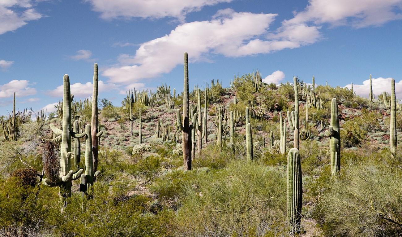 Saguaro National Park
 surrounds Tucson with giant cacti, desert wildlife, mountain trails, scenic drives and enduring Sonoran Desert heritage.
-


Swipe for more regions
Explore more

Explore more of Arizona
Discover Arizona: From the majestic Grand Canyon and red rocks of Sedona to the vibrant cities of Phoenix and Scottsdale, explore the diverse beauty and culture of the Grand Canyon State.
Explore Arizona